Exploring the Conservation Park
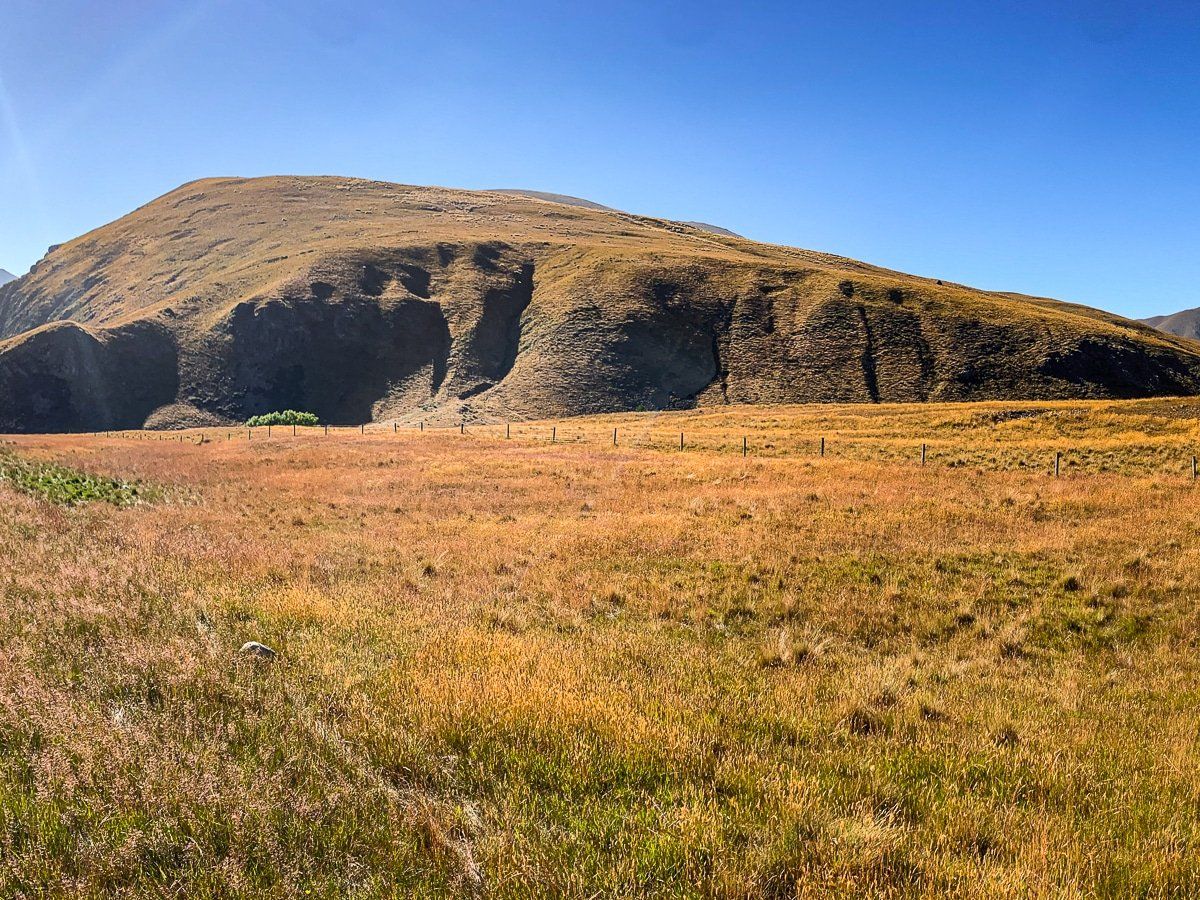
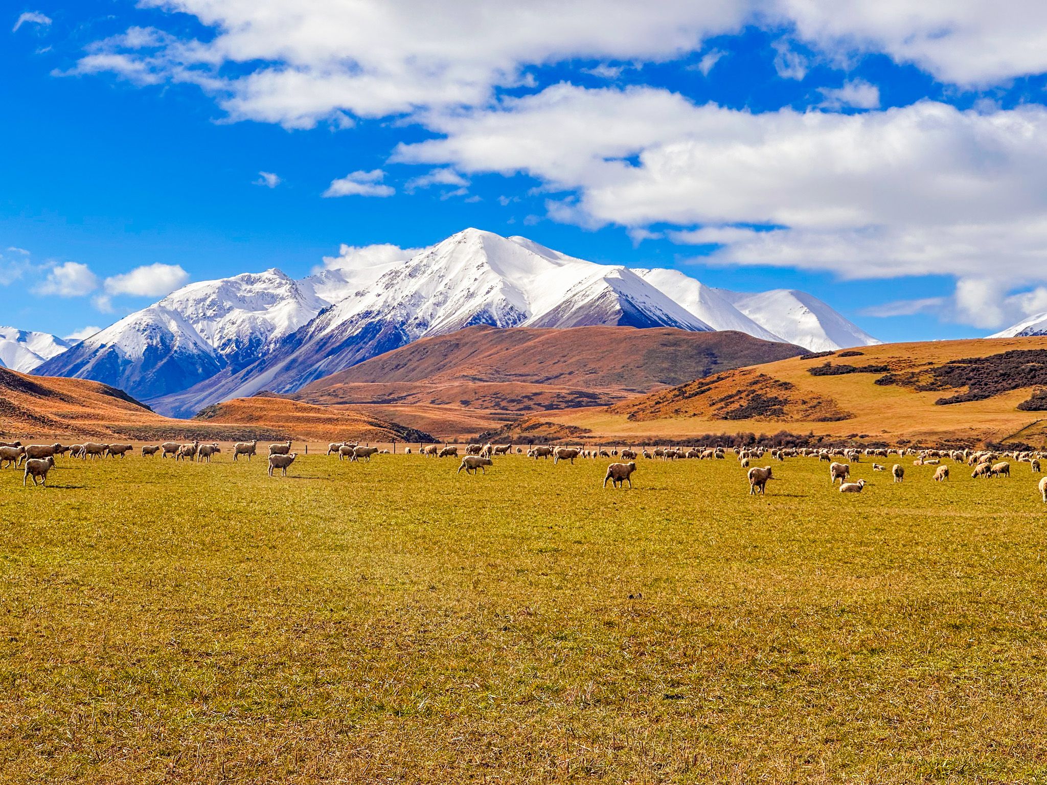
Hakatere Conservation Park, located about 600 metres above sea level, is a vast natural area spanning 60,000 hectares. Situated around the Ashburton Lakes and nestled between the Rakaia and Rangitata Rivers, this park is a unique tussock landscape, backed by snow-capped mountains in Winter and Spring, that draws visitors for its stunning scenery. Te Araroa also passes through the Park.
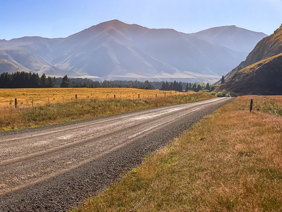
Enter the Park at Hakatere Station
As you enter the Park, you will encounter a handful of buildings associated with the historic Haketere Station, named for the Māori name for the Ashburton River. This is also the location of the park Visitor Centre. The Station was established by Thomas Potts, one of the region’s early explorers, who also named Lake Heron and Lake Clearwater. He went on to claim the surrounding countryside, eventually building the station to 81,000 acres across seven runs. His name is scattered throughout the area, with Hakatere Potts Road, Potts Range, Mount Potts and Potts River.
Potts was one of New Zealand’s earliest conservationists and an MP. In 1868, he moved in Parliament for an inquiry into the state of the colony’s forests and his 1878 article “National Domains” helped lay the groundwork for the establishment of New Zealand’s first national parks from 1894. He also owned Ohinetahi in Governors Bay, Banks Peninsula, for several years. Despite all this, he was forced to sell the station around 1885 and died in near-poverty in 1888.
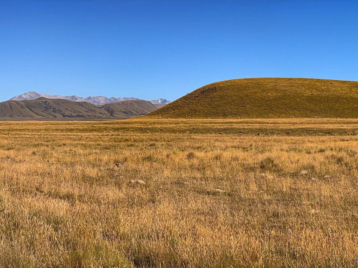
Tussock Landscapes and Lakes
From there, you can turn north towards Lake Heron, the largest lake, or continue west to the main group of lakes, including Lake Clearwater with a small bach village. Either way, you'll pass through Fagans Downs, a wide, dry plain surrounded by distant mountains. This area is dotted with tussocks, lakes and wetlands, creating a striking contrast between dry and wet environments.
The larger lakes, such as Lake Camp Otautari, Lake Clearwater, and Lake Heron, are accessible by car. There is also a rough road to Lake Emma, with a sidetrack to Lake Roundabout, on the way to Lake Clearwater. Additionally, tracks are available for exploring several smaller lakes and some of the mountains.
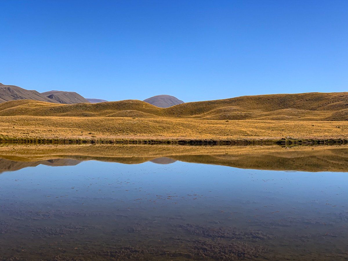
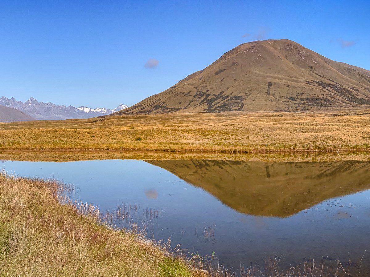
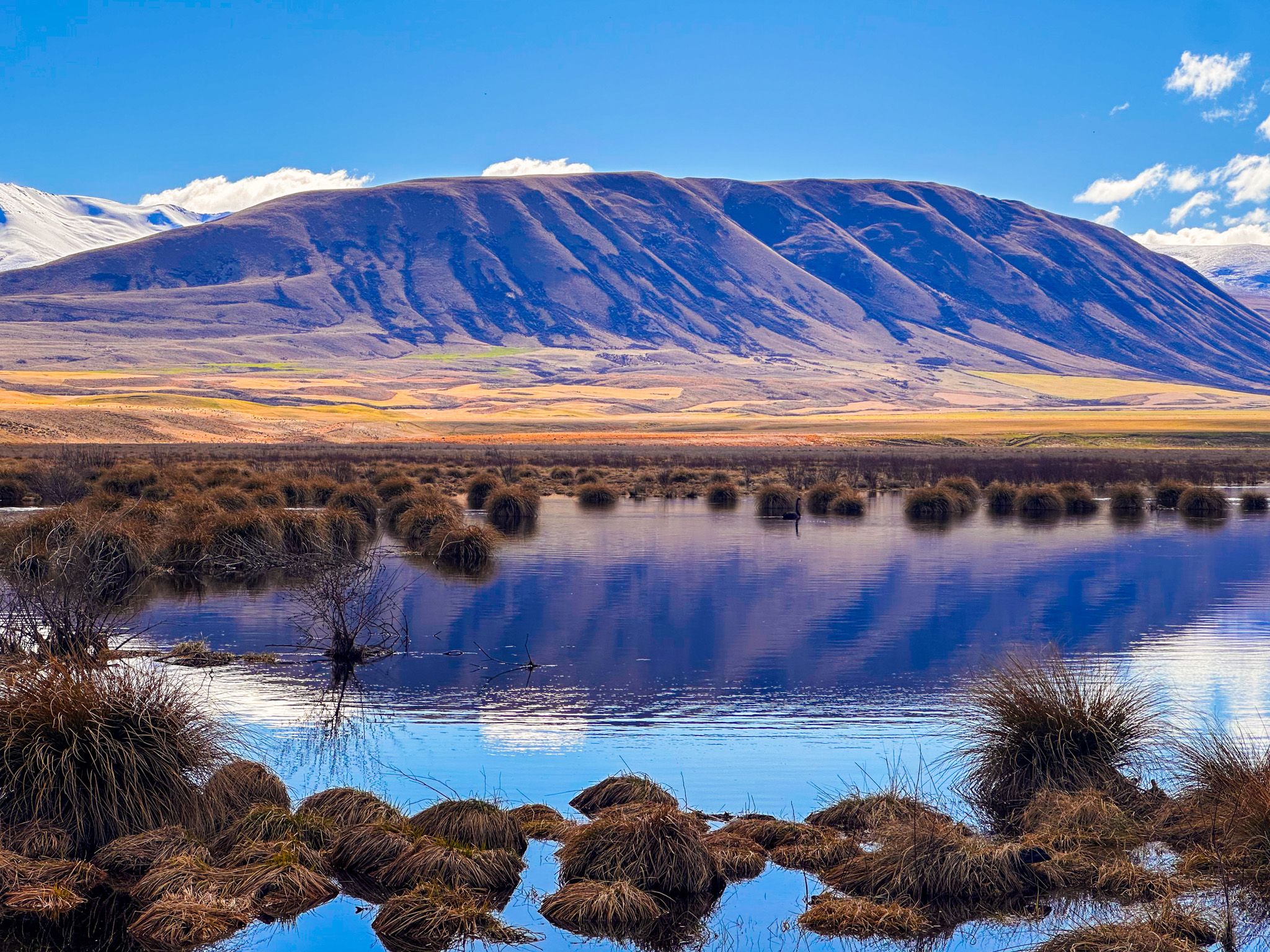
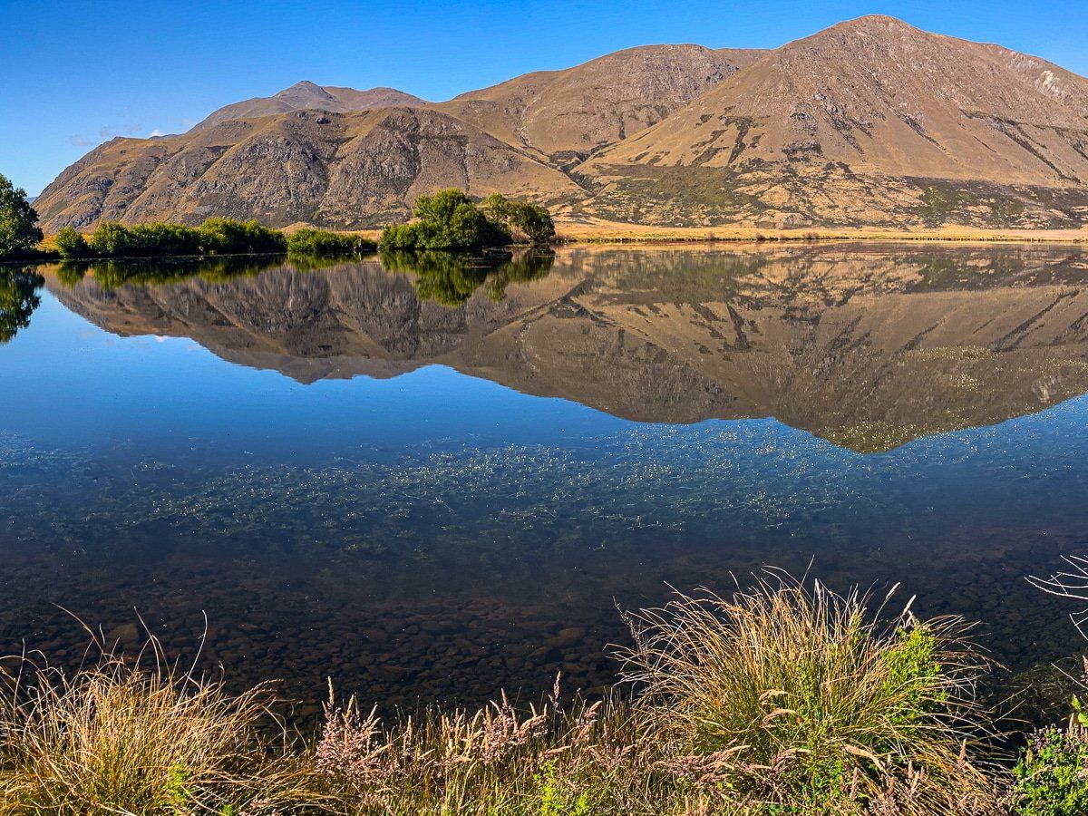
Scenic Reflections
The lakes within Hakatere Conservation Park provide breathtaking reflections, especially on calm days. This provides excellent opportunities for photography and simply enjoying the serene beauty of the area.
How to Get There
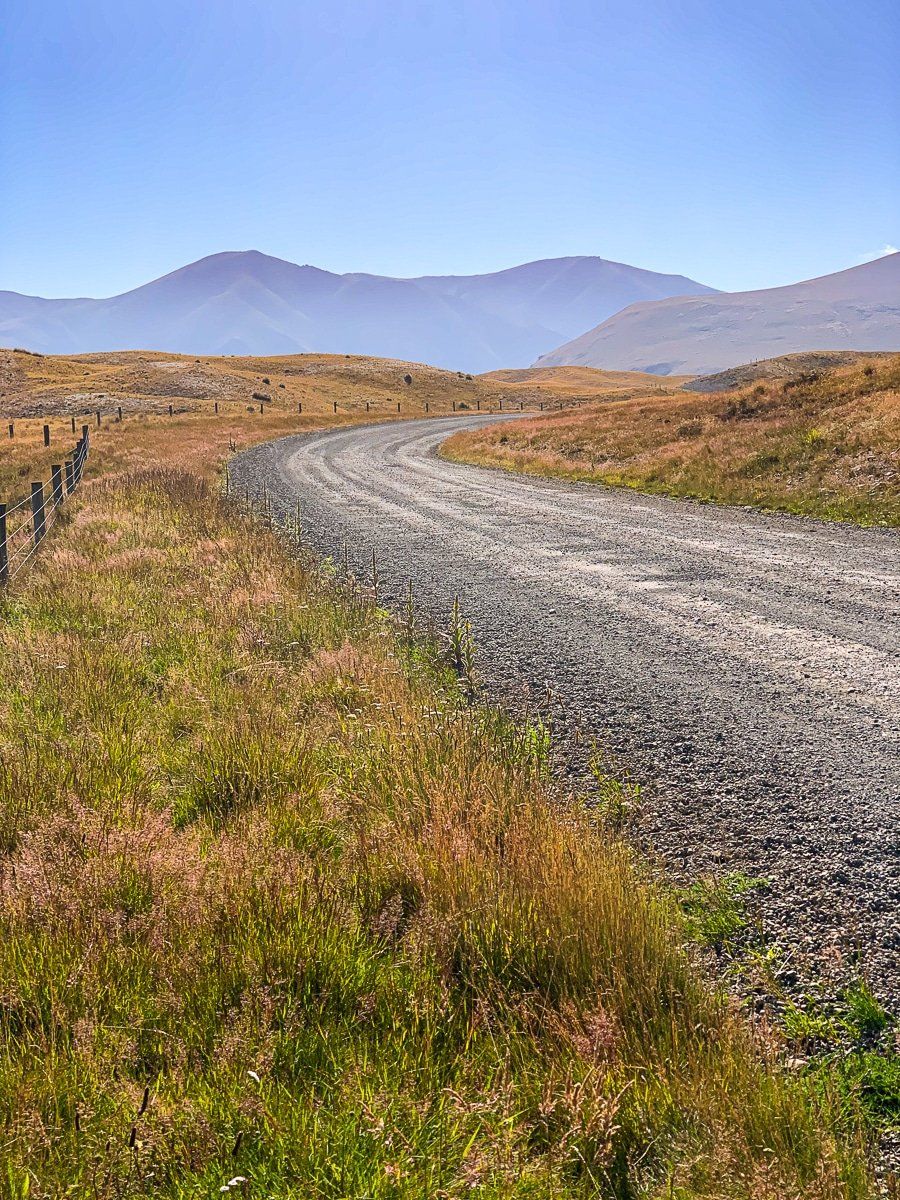
To reach Hakatere Conservation Park, take Ashburton Gorge Road from the small town of Mt Somers on the edge of the Canterbury Plain, southeast of Methven and Mt Hutt on the Arundel Rakaia Gorge Road. As it enters the Park, the road changes to gravel. Head north on Hakatere Heron Road to get to Lake Heron, or continue west on Hakatere Potts Road to access Lake Clearwater and most other lakes. From Christchurch, the drive to Hakatere takes 105 minutes and is 142 km.
From Lake Clearwater, you can continue west on Hakatere Potts Road, which takes you deep into the wide Rangitata River Valley. From there, you can access Mount Sunday. While in the wider mid-Caterbury region, visit Peel Forest and be sure to stop in Geraldine for a coffee and a bite to eat.