Discover the Glenorchy Lagoon Walkway
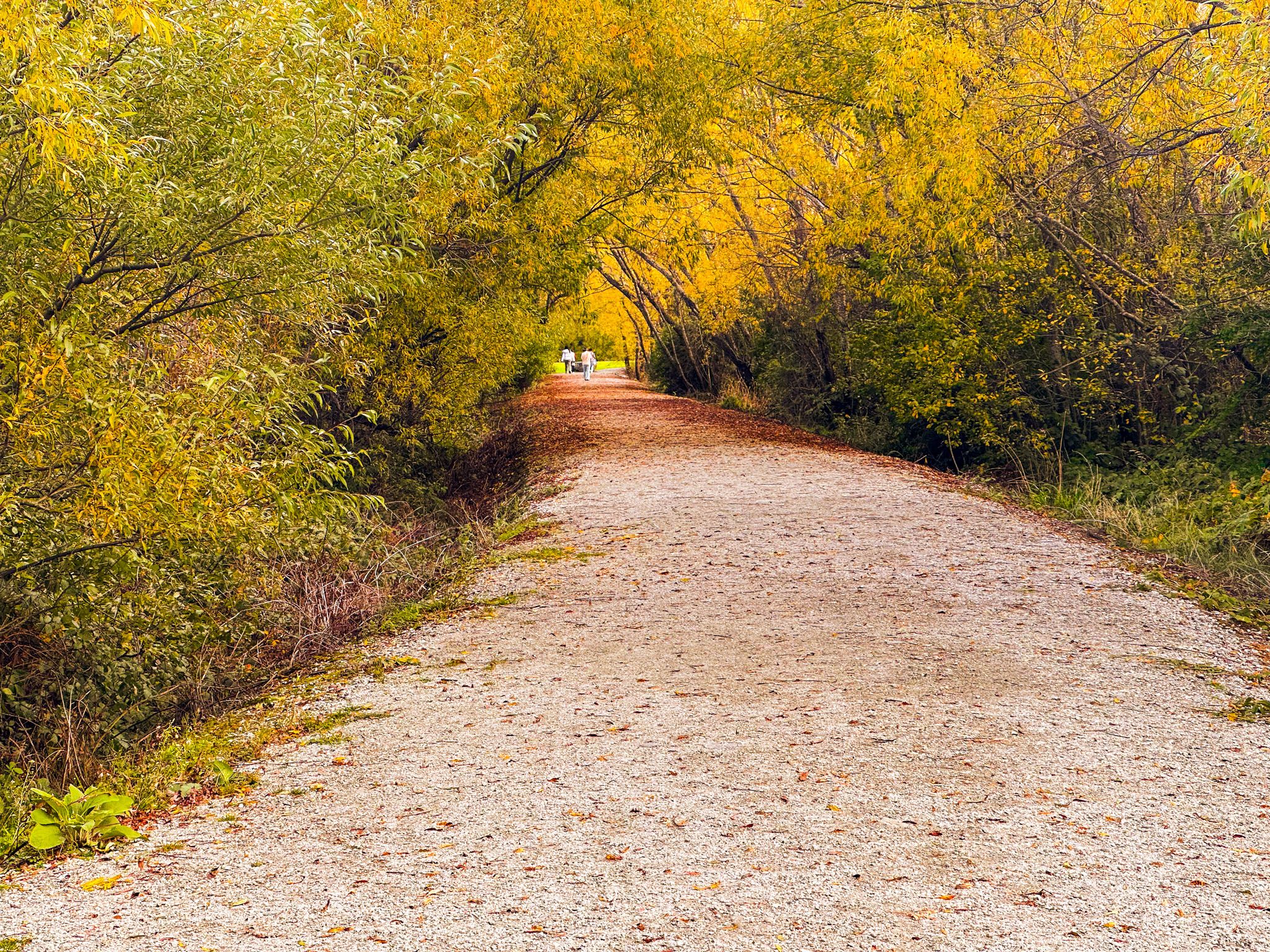
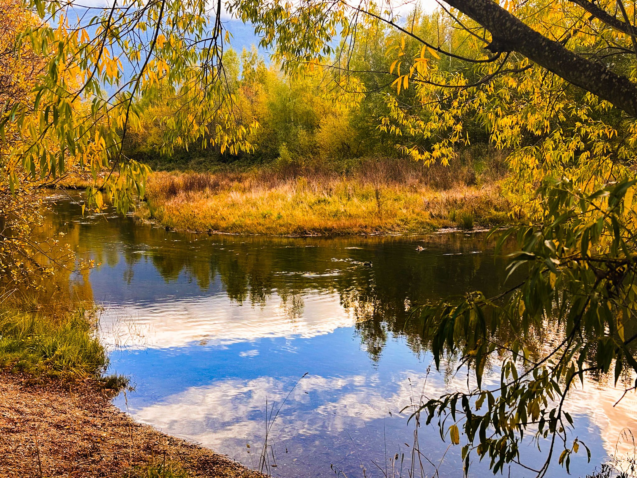
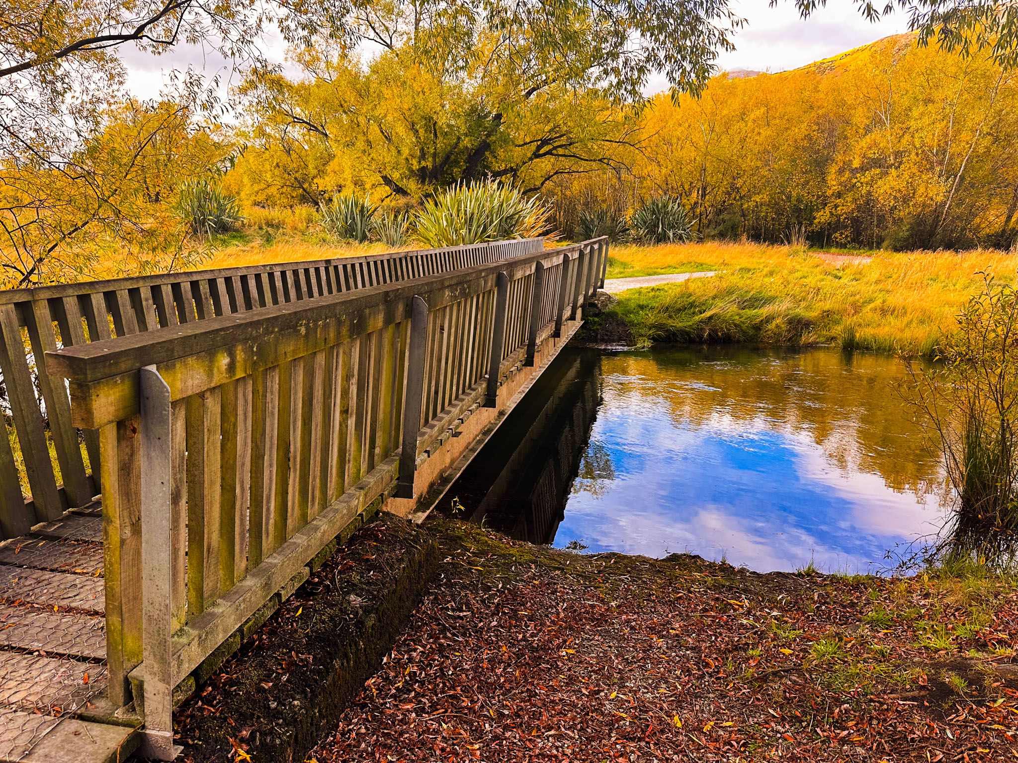
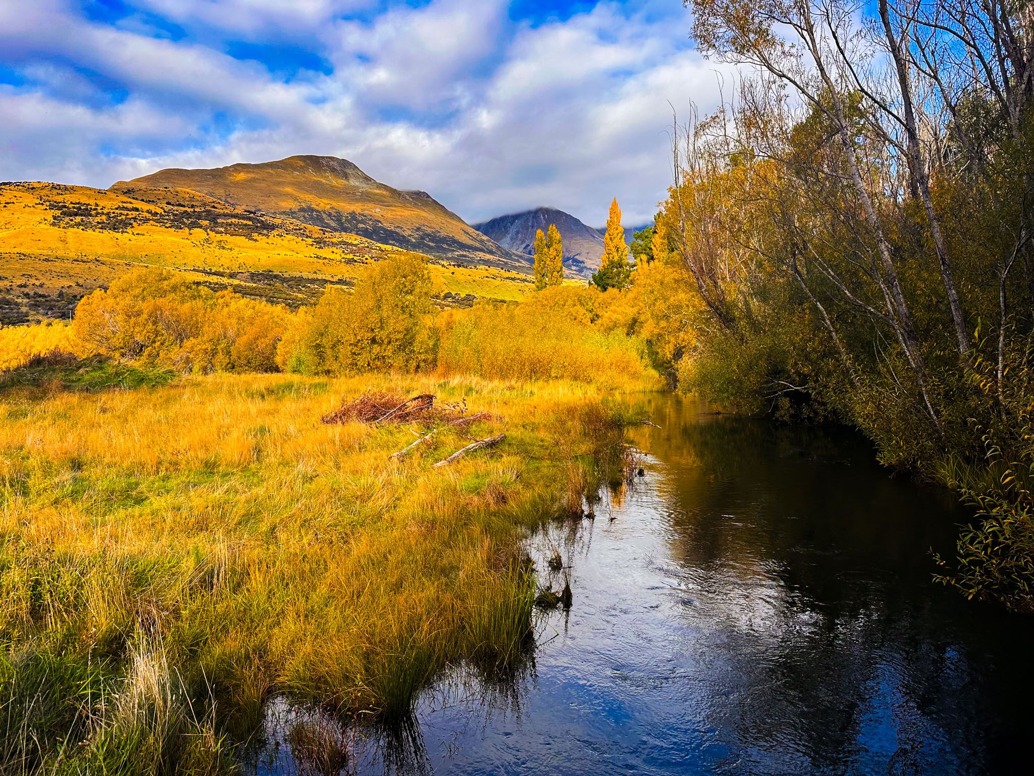
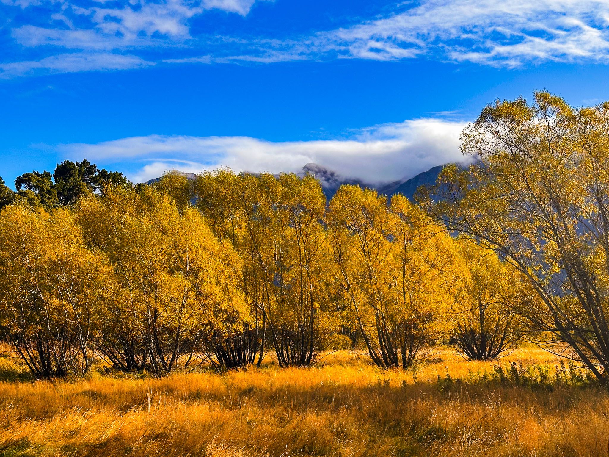
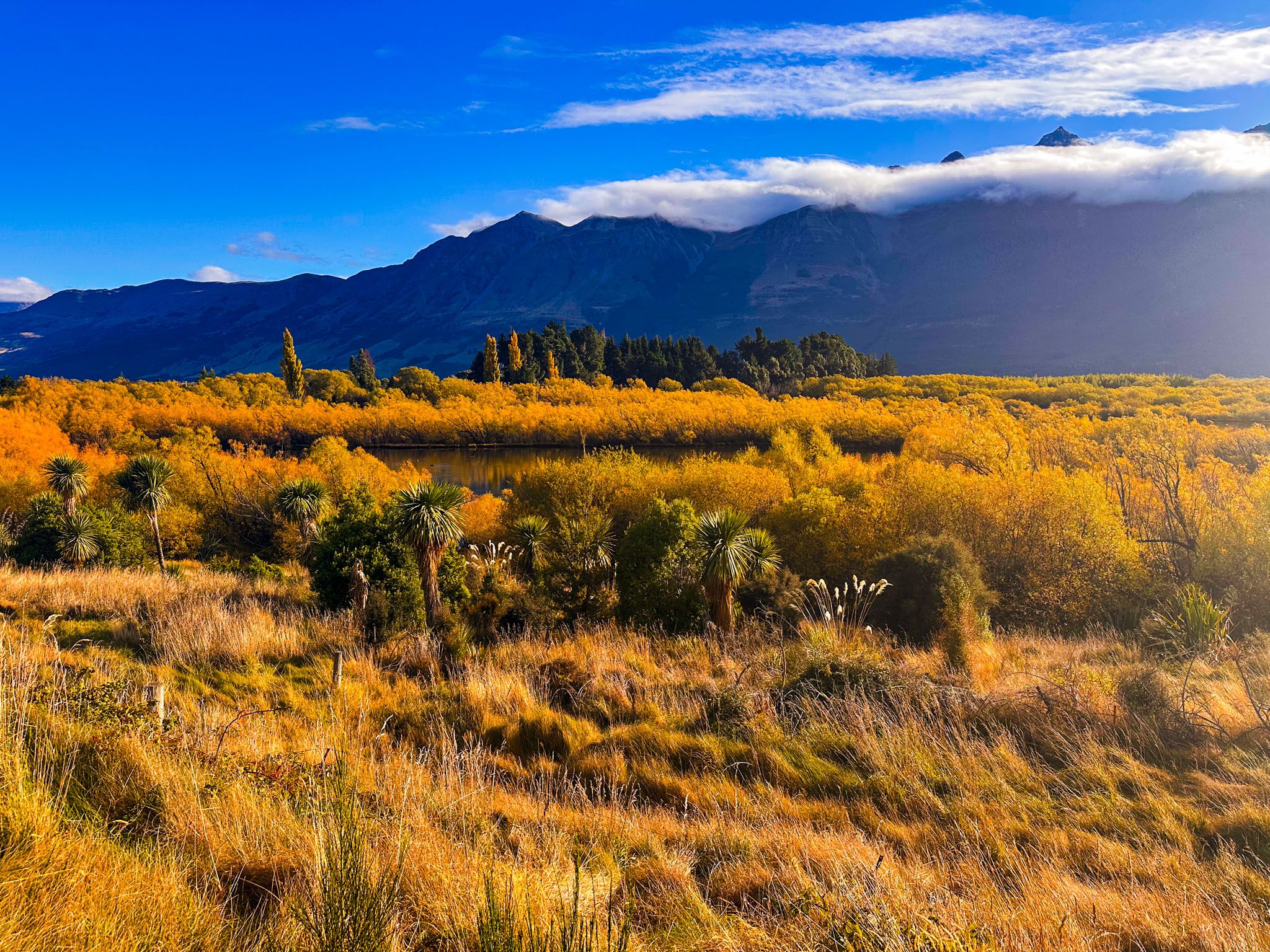
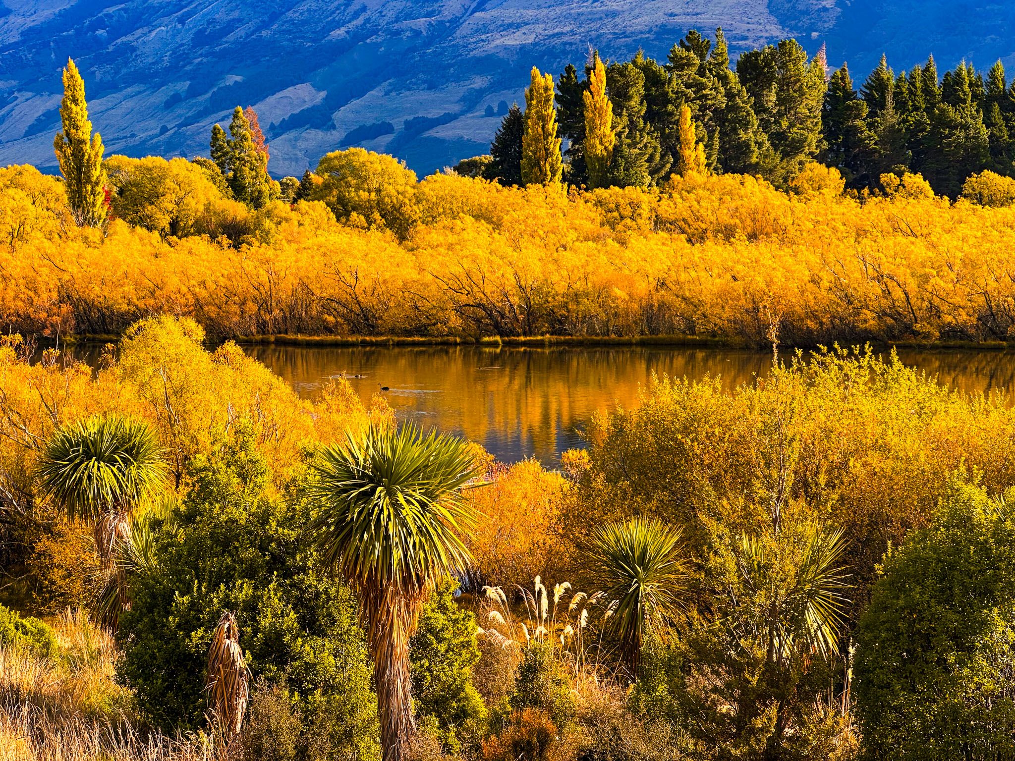
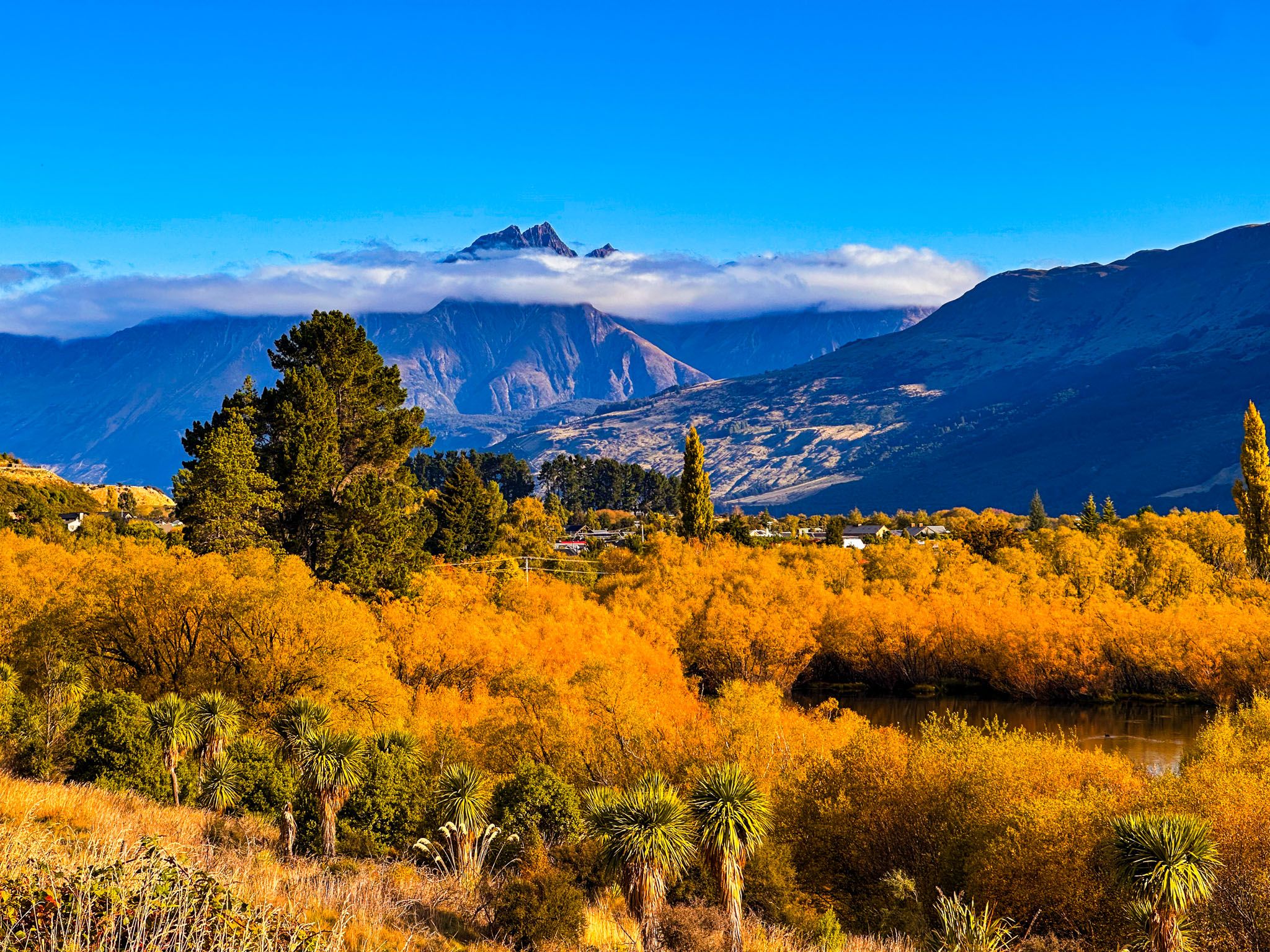
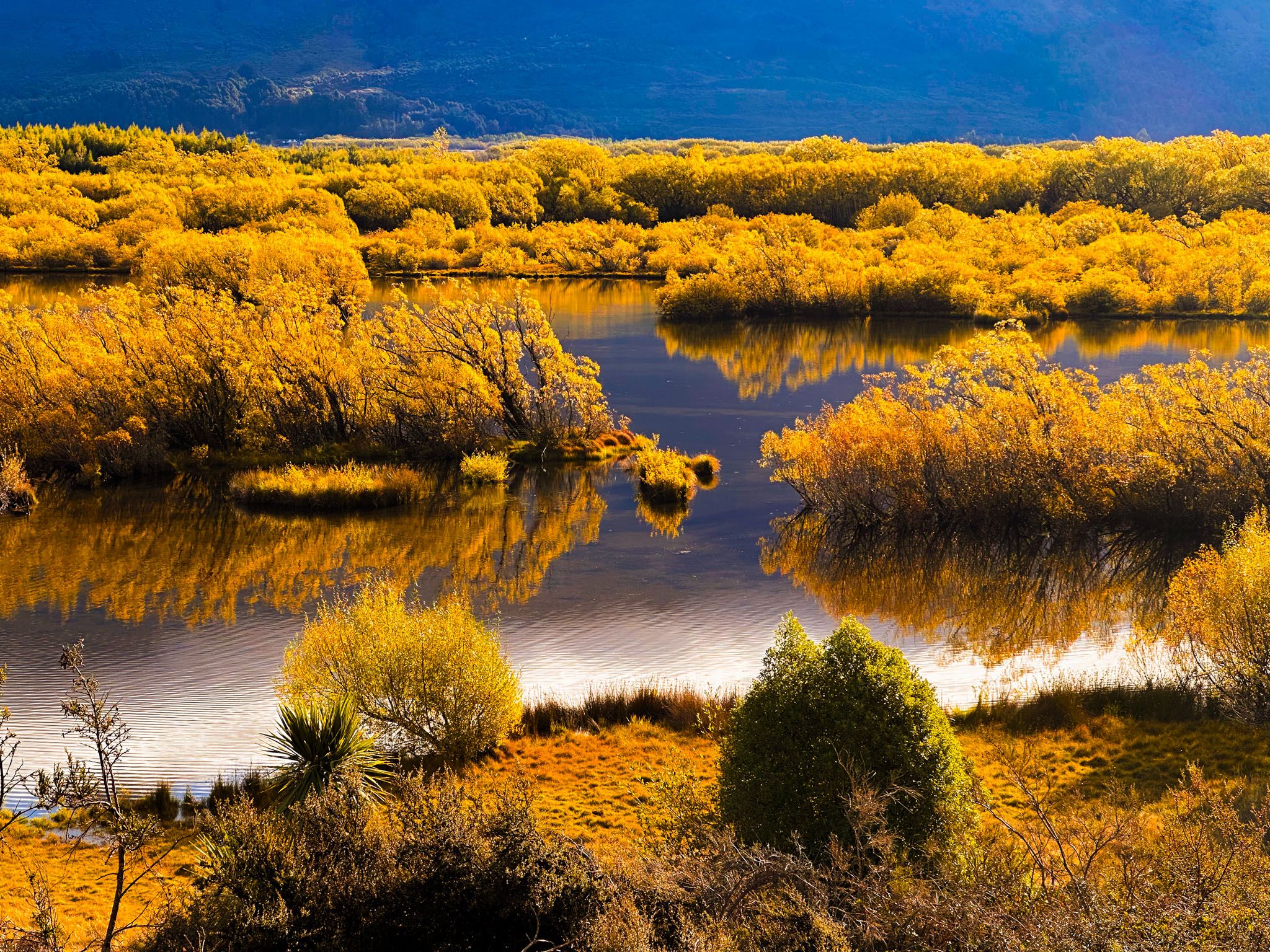
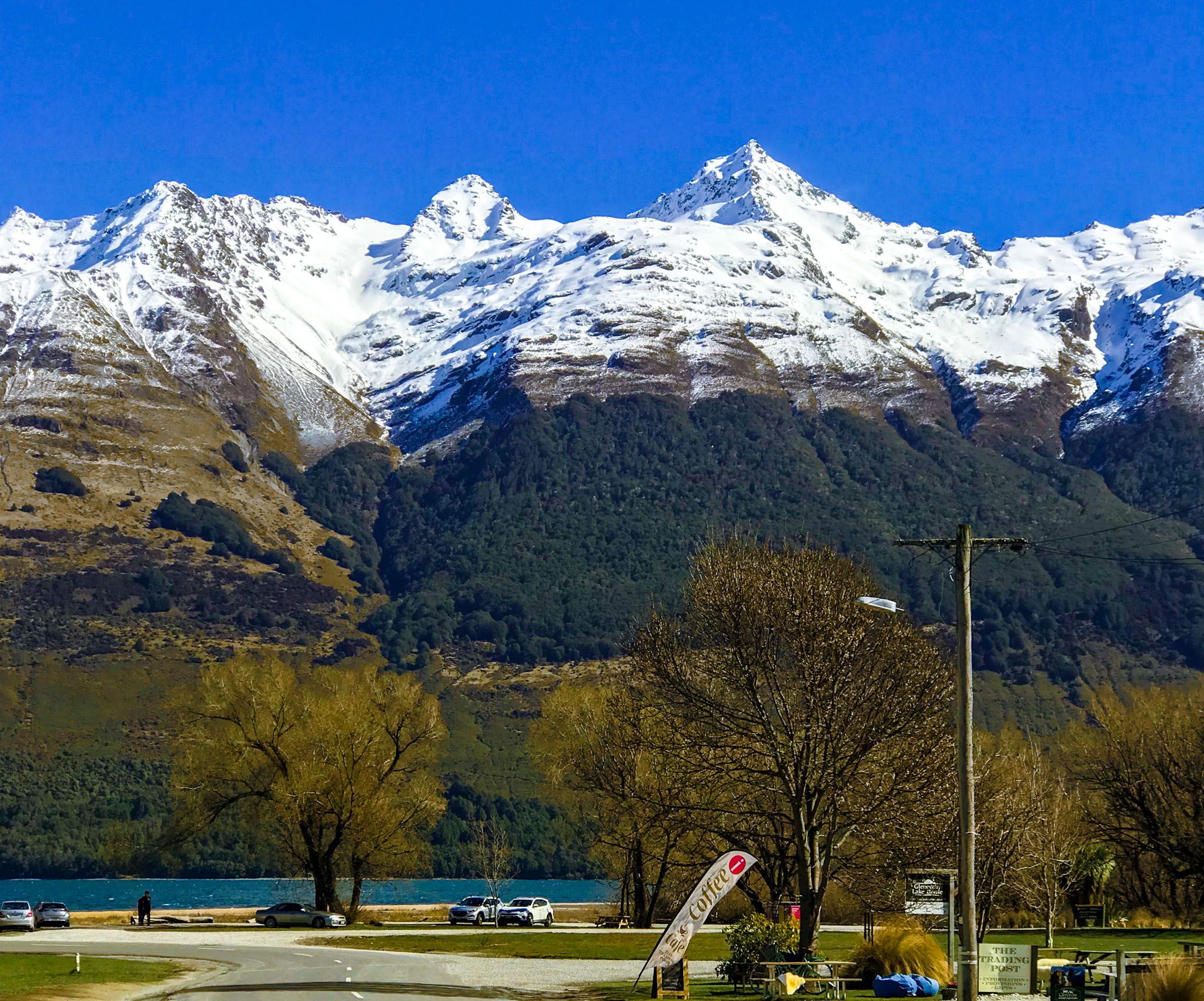
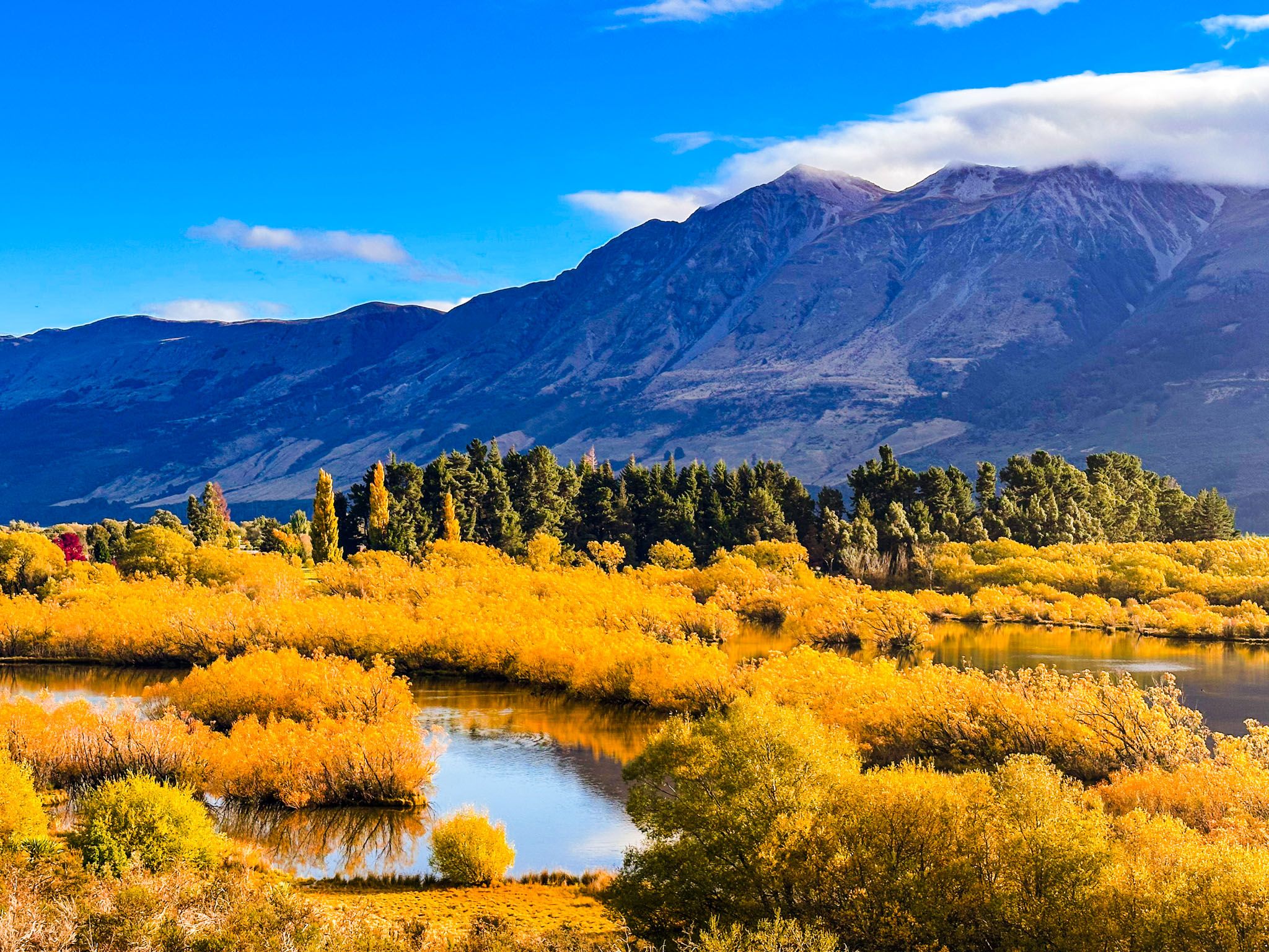
Located in Glenorchy, the Glenorchy Lagoon Walkway is a 3.2 km scenic loop trail through wetlands. The trail features gravel paths and boardwalks, with stunning views of Lake Wakatipu, Mount Earnslaw / Pikirakatahi, and the surrounding mountain ranges. This walk is particularly captivating in late Spring when lupins bloom vibrantly, and in Autumn, when willows and poplars turn golden. During Winter, the snow-capped peaks are reflected in the lagoons on calm days.
Birdlife and Natural Beauty
The lagoons are a haven for birds. You can spot a variety of birds, including the pied stilt (poaka), South Island torea / oystercatcher, matuku-hūrepo / Australasian bittern, kuruwhengu / NZ shoveler, tete / grey teal, parera / grey duck, and papango / scaup. Additionally, there is a significant local programme dedicated to supporting the karearea / NZ falcon.
Scenic Drives and Nearby Hikes
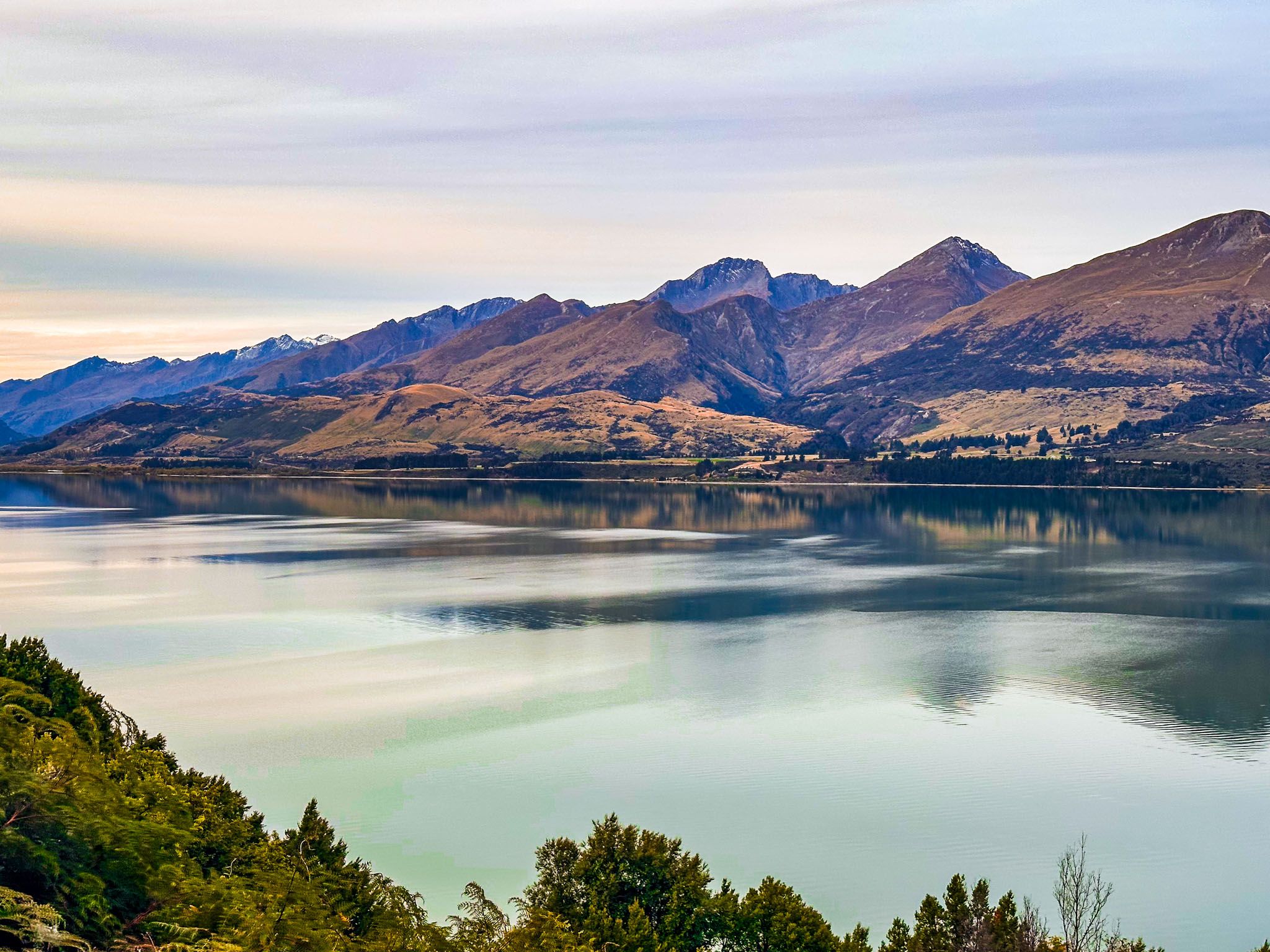
For panoramic views over the lagoons towards the Humboldt Range, drive up the first hill above the lagoon on the Glenorchy Paradise Road. There are safe stopping points along the way for taking in the scenery.
For more challenging hikes, the nearby Richardson Mountains offer trails such as the Mt. McIntosh Loop and Judah Tracks.
Trail Access and Options
The main entrance to the Glenorchy Lagoon Walkway is located at the north end of the lakeside car park, near the Glenorchy wharf and the iconic red boat shed. Completing the longer loop takes up to two hours, while the shorter loop takes about an hour. Alternatively, parking at the north end of Oban Street reduces the walk by 15 minutes each way.
How to Get There
From Queenstown, follow the Queenstown Glenorchy Road, which becomes Oban Street as you enter Glenorchy. Turn west onto Mull Street, which will take you to the car park at the trailhead. The drive takes 50 minutes and is 48 km.
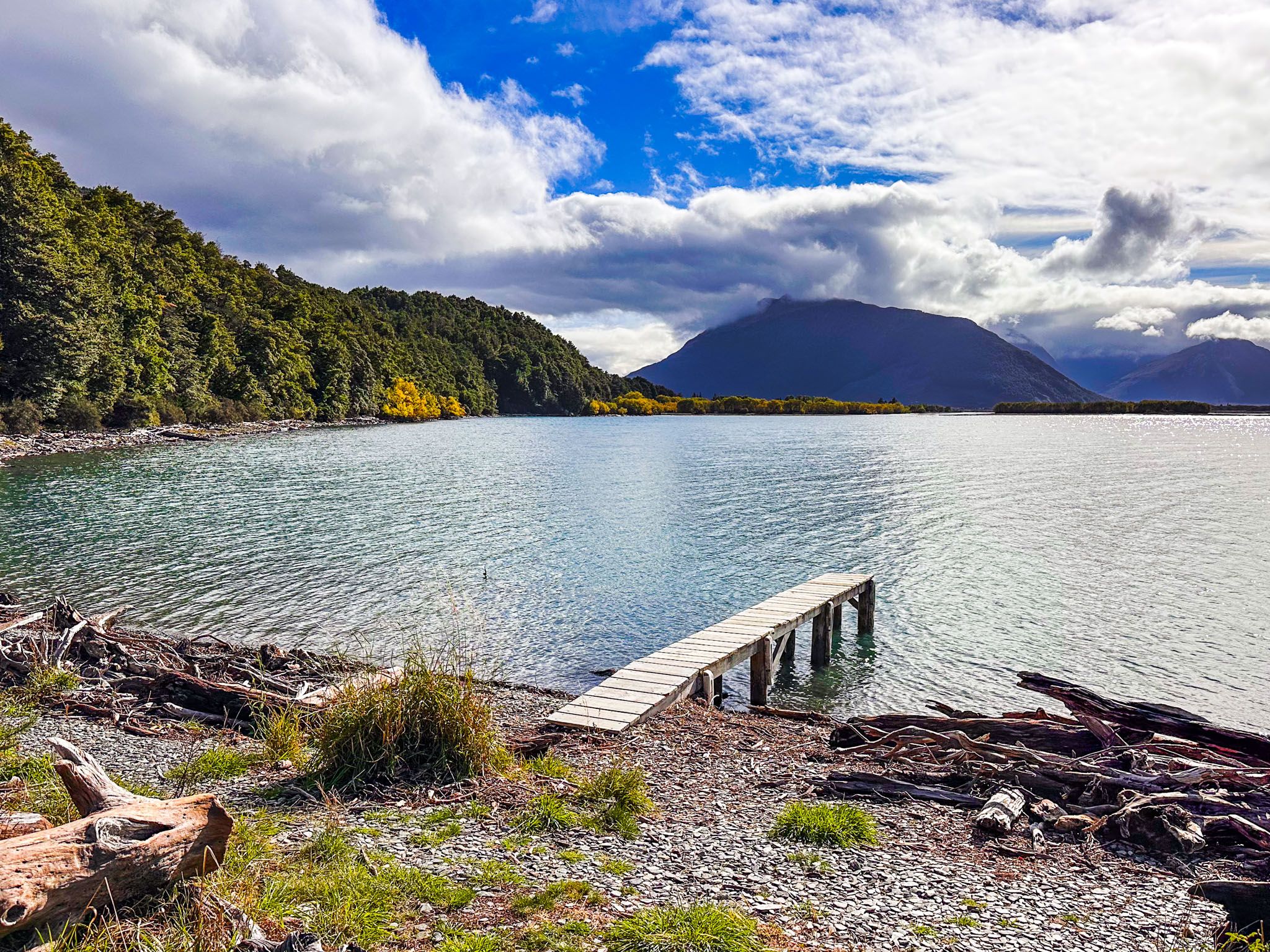
Other things to do around the top of Lake Wakatipu include a visit to Paradise and the Dart Valley in Mt Aspiring National Park, the Diamond Creek Walk, a day walk on the Routeburn Track to Routeburn Falls and the drive to Kinloch.