Discovering the Dart River / Te Awa Whakatipu
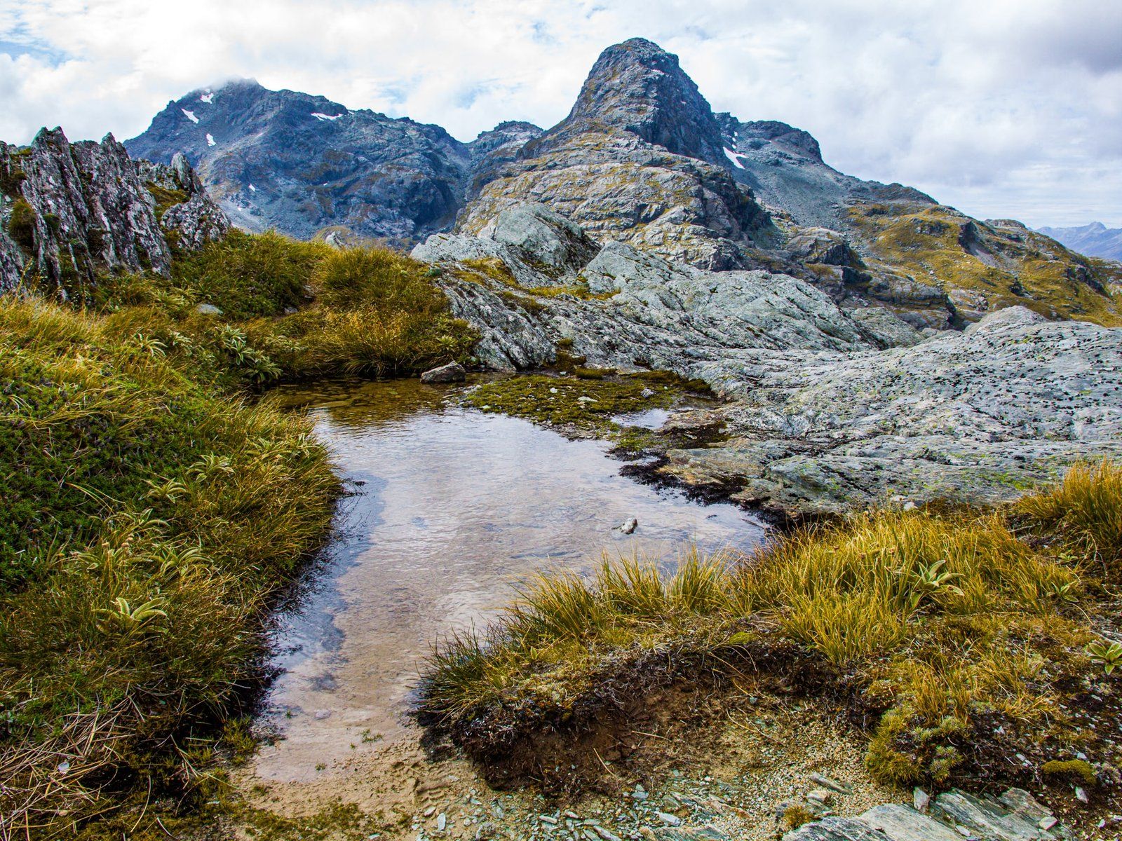
Located in the stunning landscape of Mount Aspiring National Park, the Dart River / Te Awa Whakatipu originates from the Dart Glacier in the Snowdrift Range, west of Mount Aspiring. This river flows for 60 km through the Dart Valley, eventually reaching the top of Lake Wakatipu. The valley's natural beauty is accessible via the Dart Track, which can be combined with the Rees Track to create a challenging five-day tramp over the Rees Saddle.
Exploring the Dart Valley
For a more accessible adventure, consider a half-day trip starting from Glenorchy. Drive through Paradise to the end of Paradise Road, where you can park within the national park.
The drive itself is an adventure, with a rough surface and several fords to navigate after Paradise. You'll cross a vast gravel slip area, a striking reminder of the environment's vulnerability to storms. Although a 2WD vehicle can manage the road, caution is advised. Alternatively, you can explore the river and valley by jet boat from Glenorchy.
Walking the Dart Track
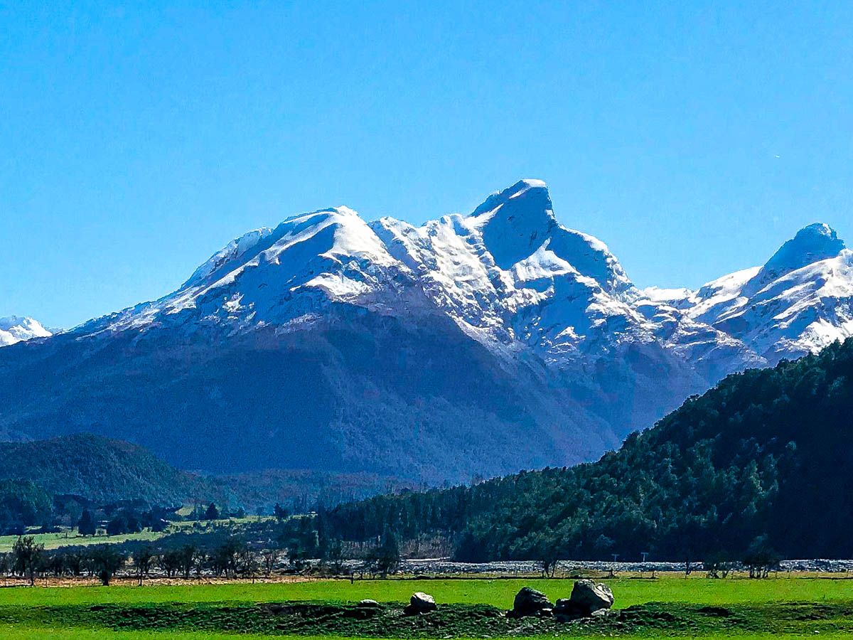
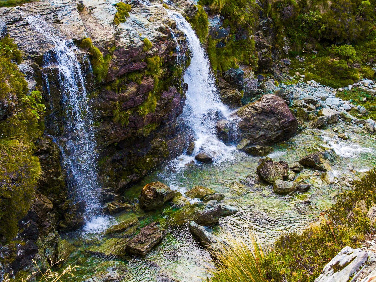
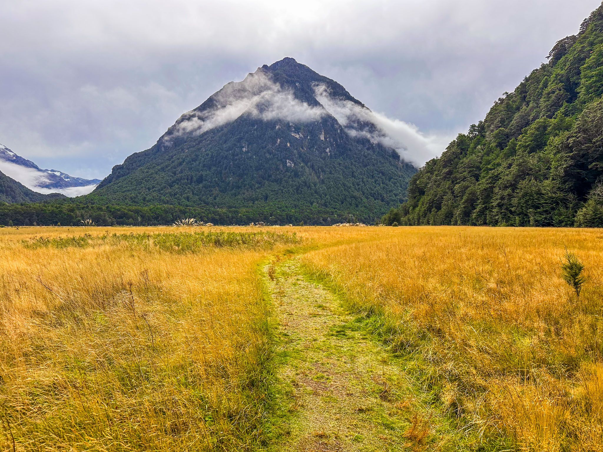
From the car park, the Dart Track invites you to walk as far as you wish. The track begins by skirting the 200-metre-high cliffs of Chinaman Bluff, which are often wet and rise up to 60 metres above the river gravels. It then descends into the expansive golden grasslands of the valley, encircled by impressive mountains.
These grasslands are a natural feature, with Winter frosts preventing shrub and tree growth. In some areas, a short walk leads you to the sprawling river gravels and one of the river's braids. The landscape is reminiscent of the Eglinton Valley on the road to Milford Sound, but without the crowds.
Historical and Cultural Significance
The river's Māori name is Te Awa Whakatipu. Te Awa translates to "the river," though the historical meaning of Whakatipu is uncertain. It is also associated with Lake Wakatipu and the Whakatipu Kā Tuka (Hollyford River). The simplest translation of whaka and tipu is "causing growth," which seems reasonable given the river's role in nourishing the valley and the wider Wakatipu Basin.
In the 1860s, early explorer and stationholder William Gilbert Rees named the river the Dart due to its swift flow. The nearby Rees River also bears his name.
In 1998, the river's official name was updated to Dart River / Te Awa Whakatipu. This change was part of the settlement of Ngāi Tahu’s Treaty of Waitangi claims, alongside official name changes for 90 other South Island locations.
Getting to the Dart River / Te Awa Whakatipu
To reach the Dart River / Te Awa Whakatipu, drive from Glenorchy through Paradise to the end of Paradise Road, where you can park in the national park. The road can be challenging, with a rough surface and several fords, but it is manageable with a 2WD vehicle if you take care. The drive from Glenorcy takes 1 hour and is 37 km. Add another 50 minutes if you are coming from Queenstown.
Other options in the area include the Glenorchy Lagoon Walkway, Diamond Creek Walk, the drive to Kinloch, and the Kinloch Nature Walk. For a full-day outing, try the Rere Lake Walk and a day walk on the Routeburn Track to Routeburn Falls.