The Northern Road into Hakatere Conservation Park
Hakatere Heron Road is the northern of the two gravel roads that reach into Hakatere Conservation Park from the historic Hakatere Station buildings. It runs approximately 31 km through an open high-country basin to Lake Heron, the largest of the Ashburton Lakes. Along the way, it passes the Māori Lakes wetland reserve and Lake Emily, and gives access to a network of walking, tramping, and 4WD tracks that reach deep into the surrounding ranges. The road is flat and well-maintained, straightforward in a standard 2WD on a dry day, and the drive itself is a substantial part of the appeal.
Open Country and Mountain Views
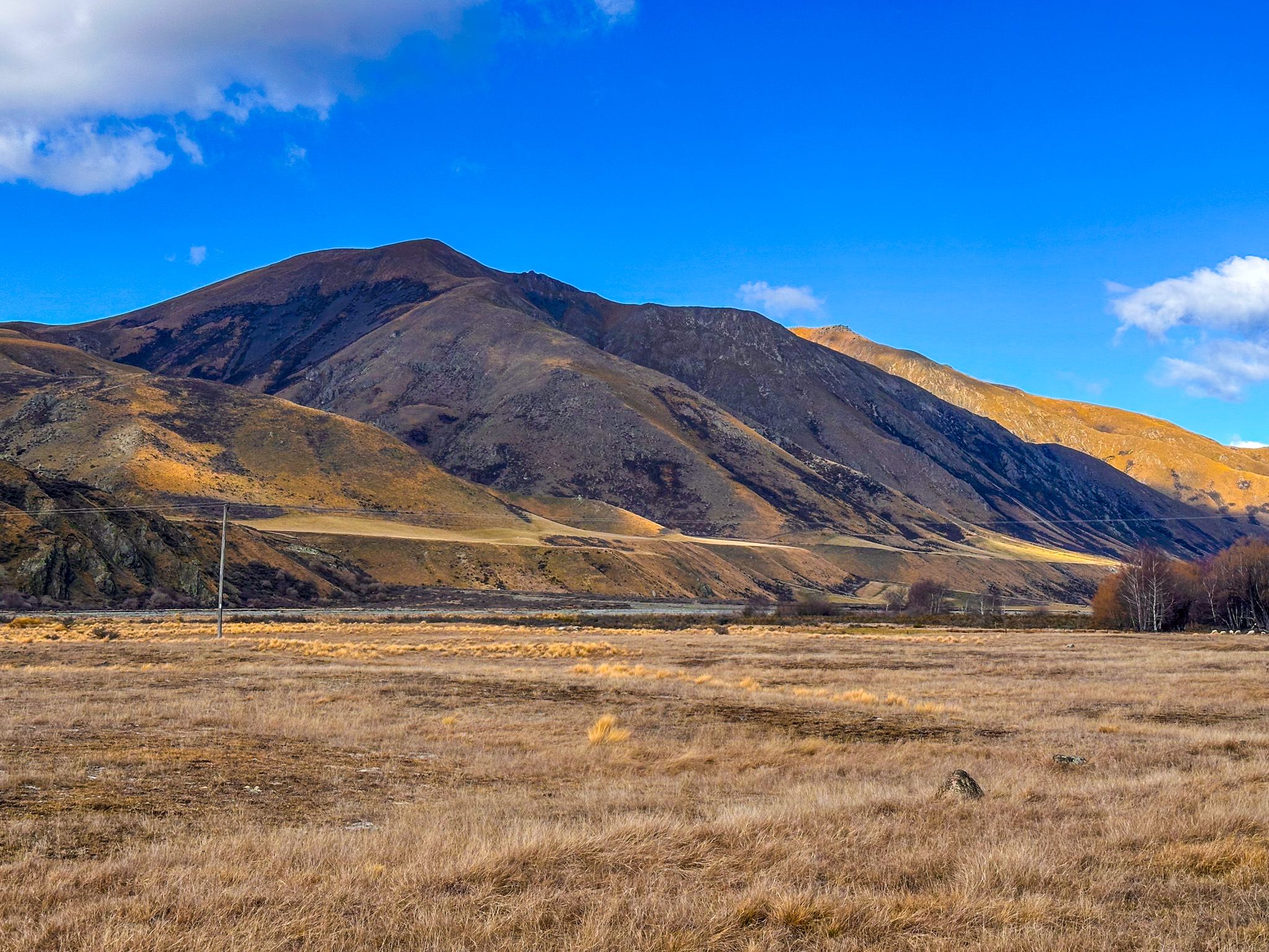
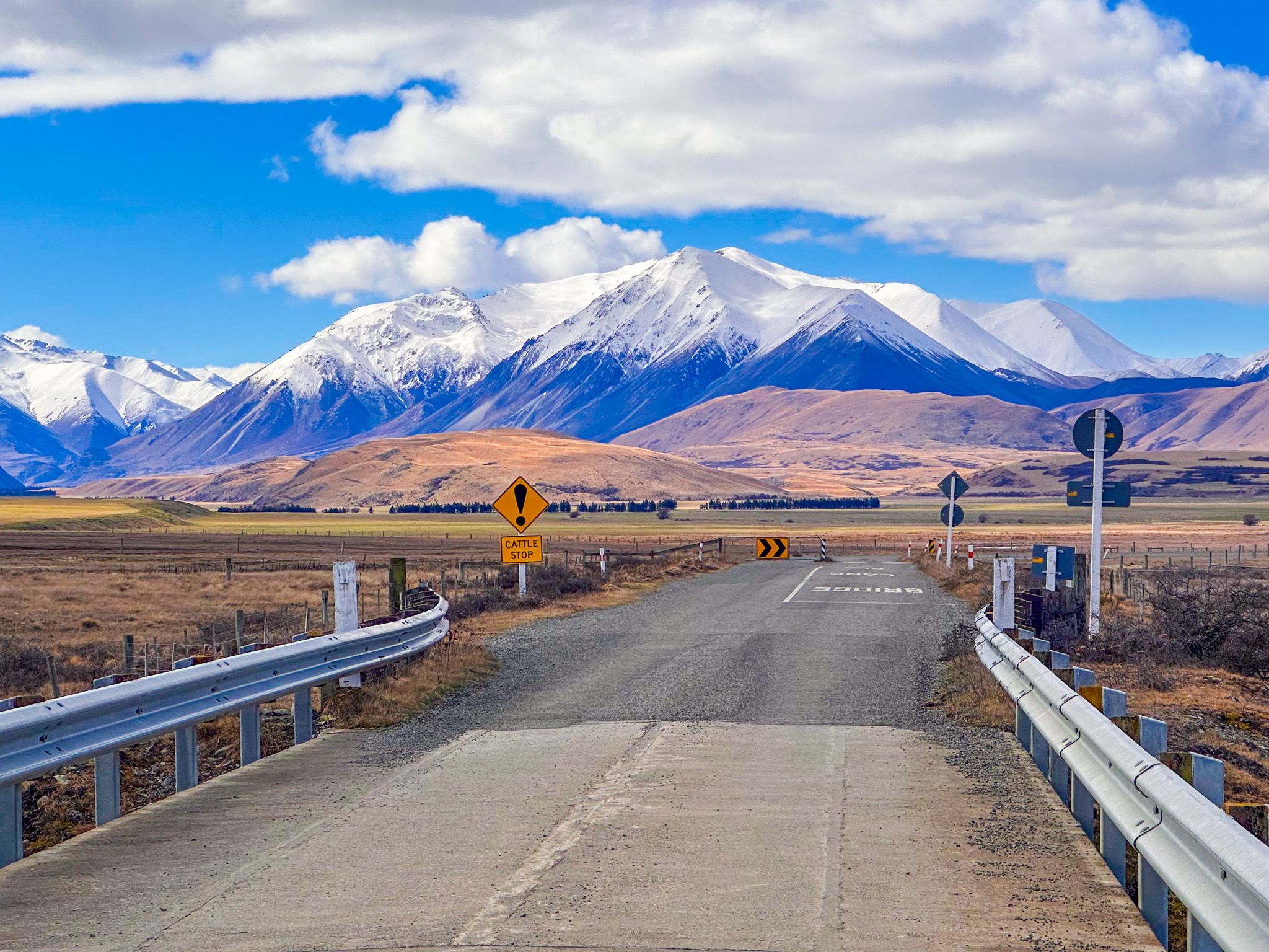
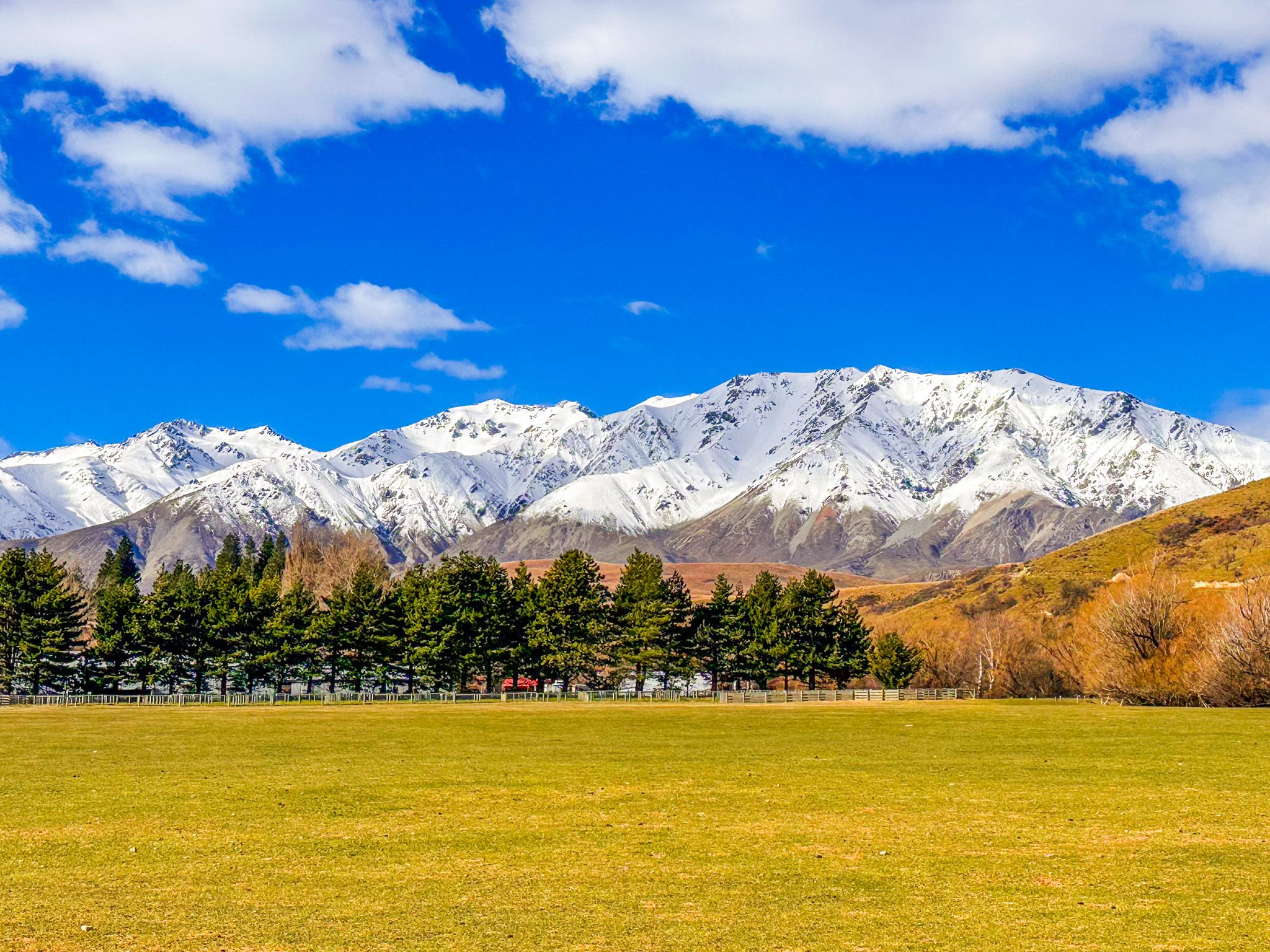
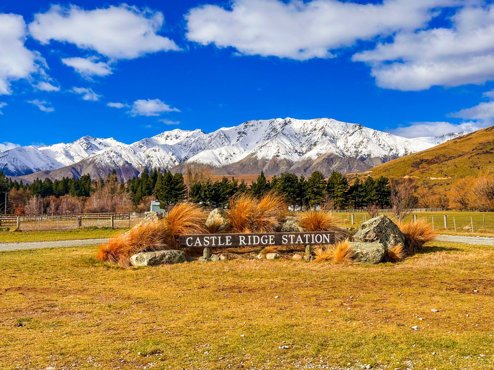
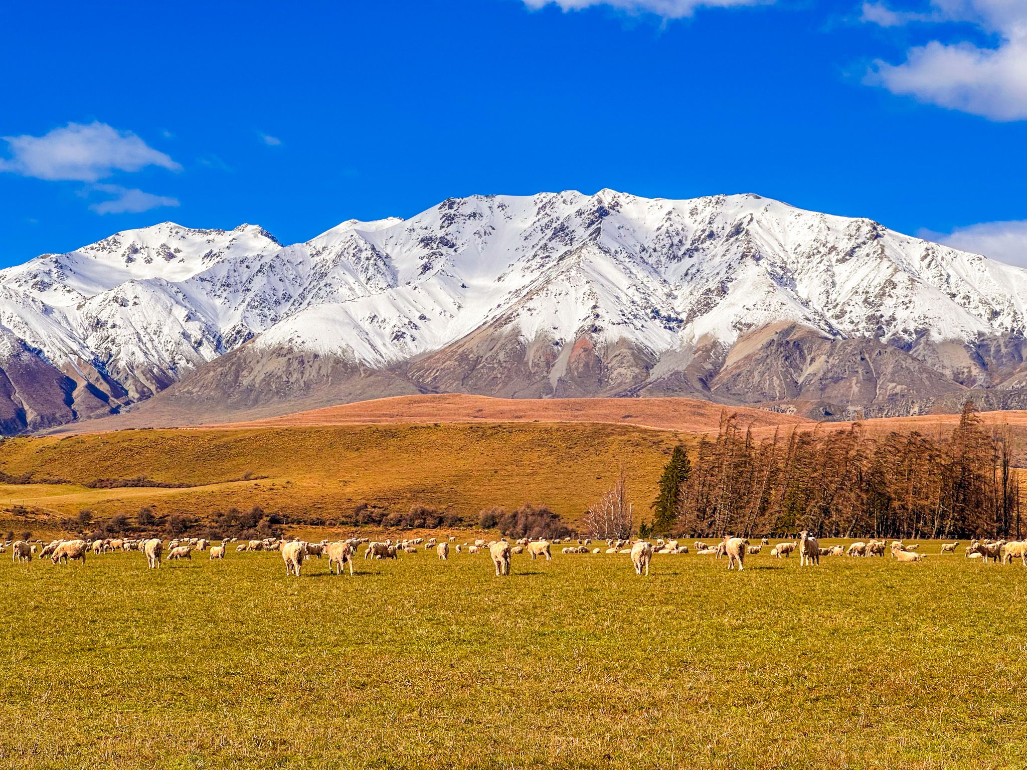
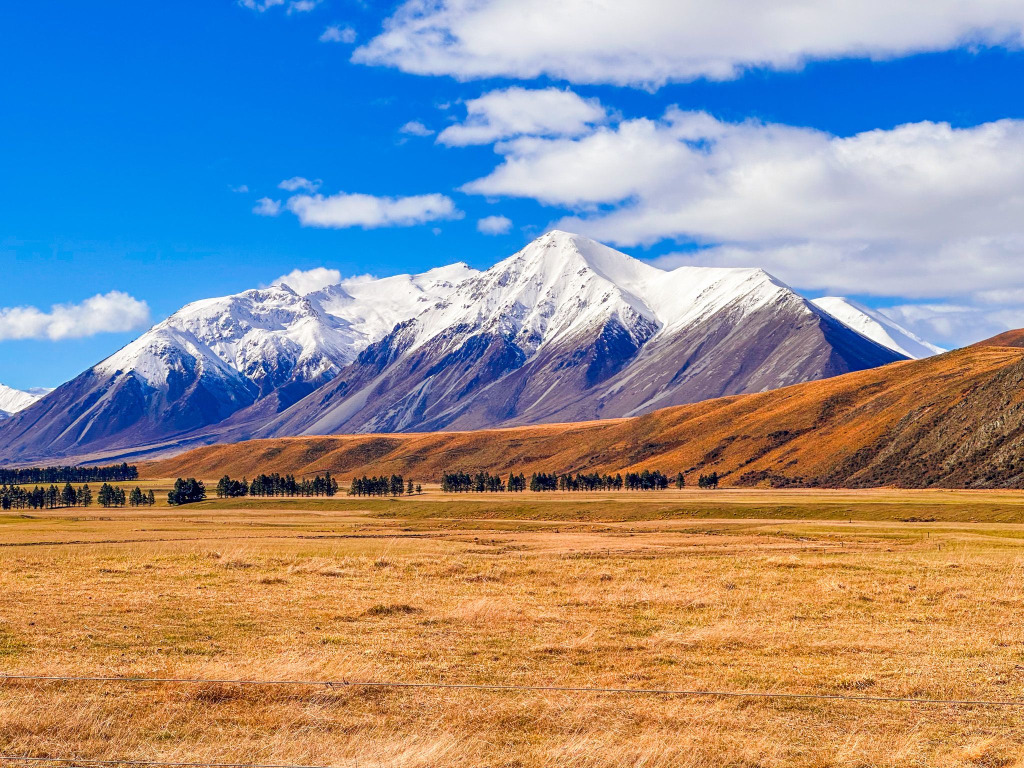
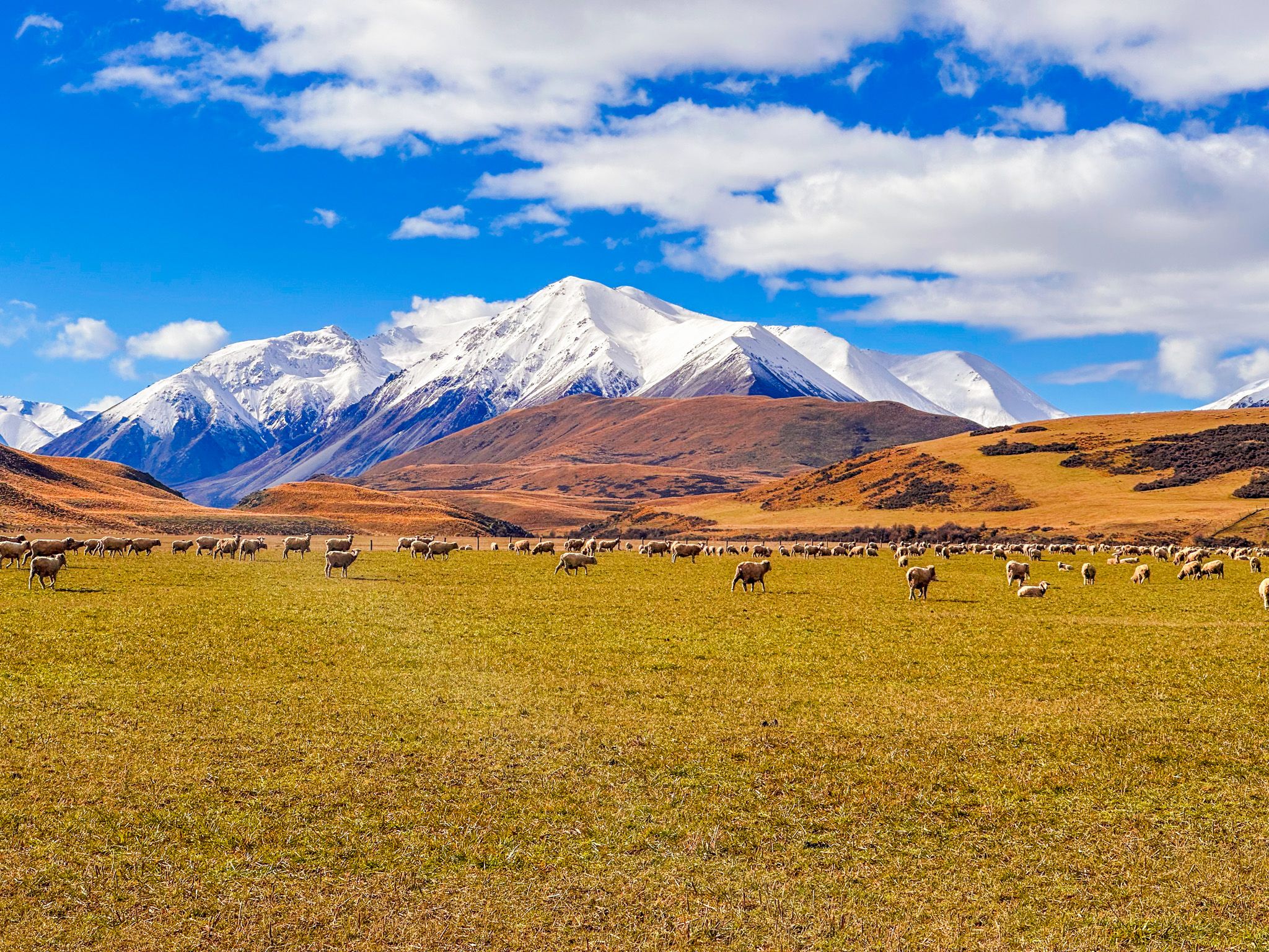
The road begins at the junction near the Hakatere Station historic buildings and visitor centre, where Ashburton Gorge Road becomes gravel and Hakatere Heron Road branches north. From here it crosses Fagan's Downs, a wide, dry plain of tussock and matagouri. To the east, the view stretches from golden grassland and tussocks close to the road out to irrigated pasture around Castleridge Station, with the mountain ranges rising sharply behind.
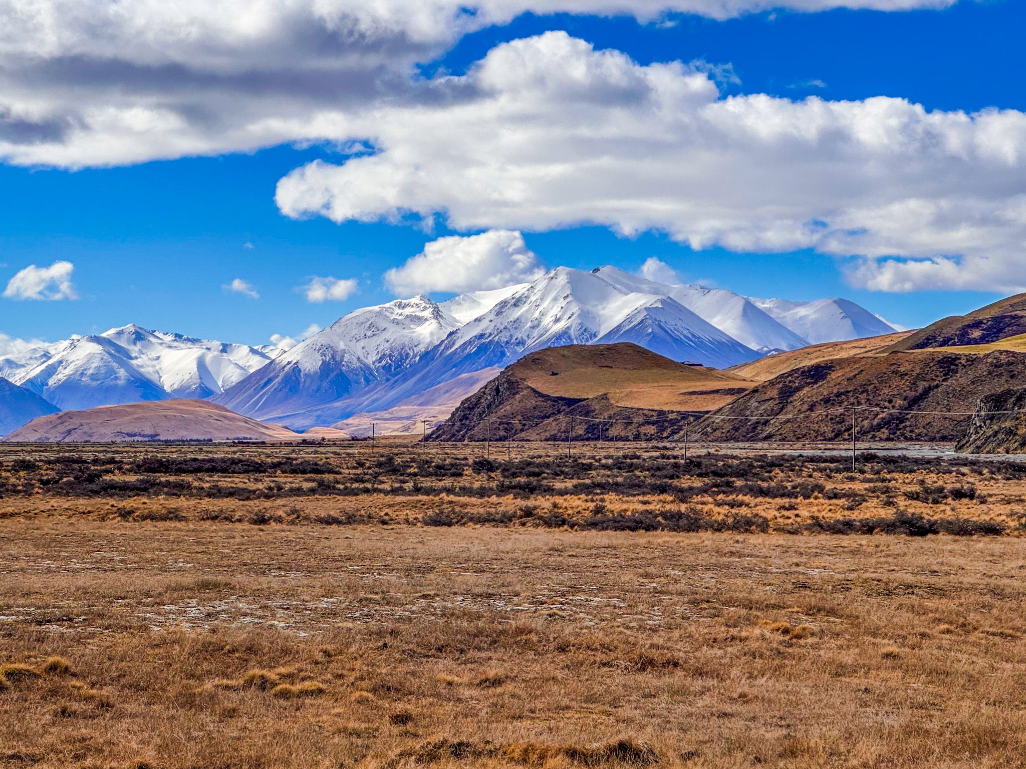
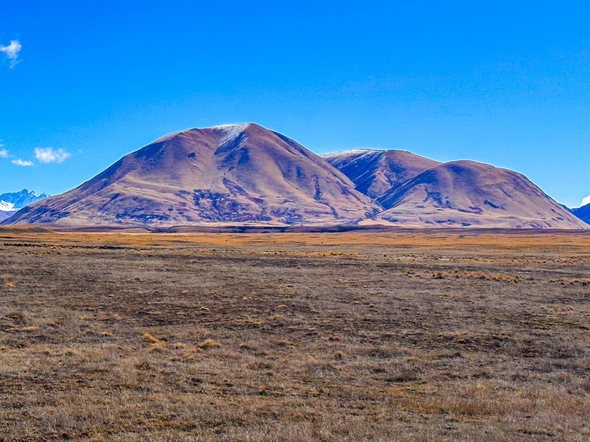
In Winter and Spring, the Mt Somers Range, Taylor Range, and Mt Catherine carry snow on their upper faces; these peaks reach over 2,000 metres and run from south to north along the eastern skyline. The Palmer Range, also around 2,000 metres, closes off the view to the north. To the west, the country is lower, with softer ridgelines.
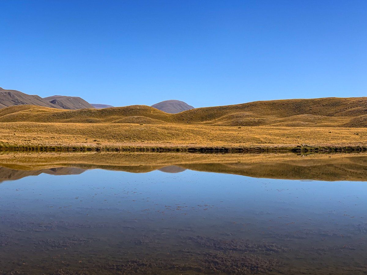
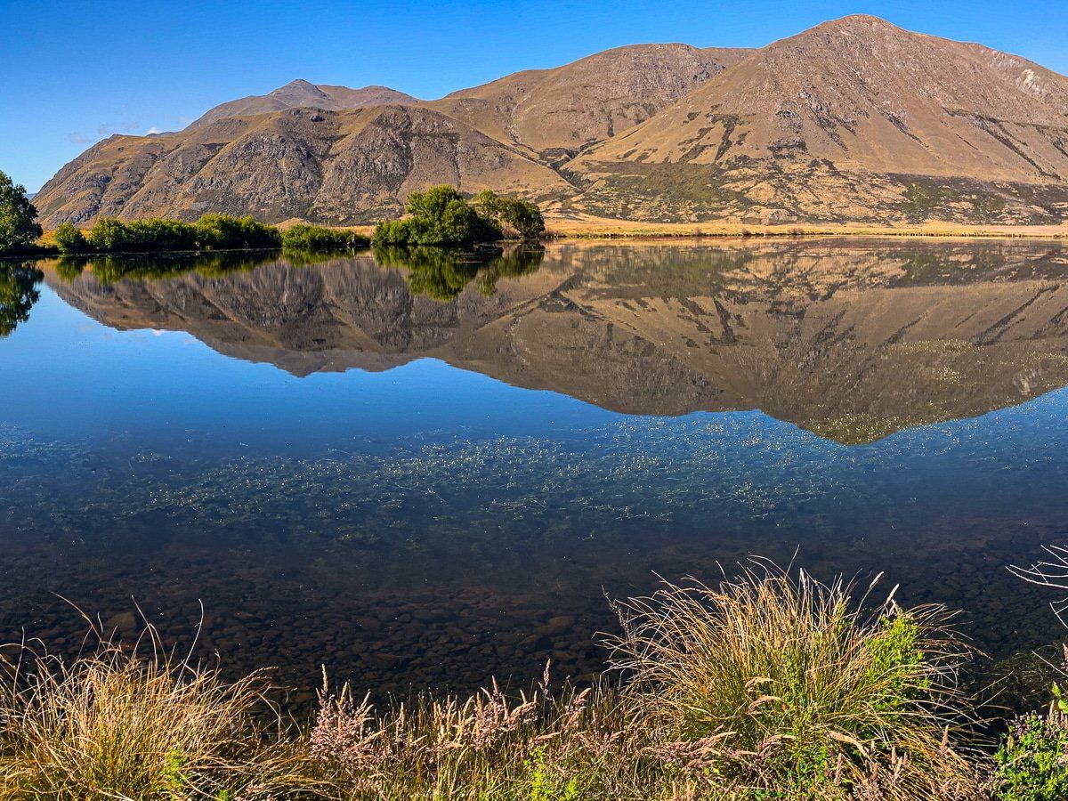
There is no single viewpoint on this road; the landscape simply opens around you as you drive. The nor'wester can make the basin an uncomfortable place on a bad day, with dust and chop on the lake surfaces, so calm mornings are best for photography and for the lake reflections that make this area worth the journey.
Te Araroa and Back-Country Access
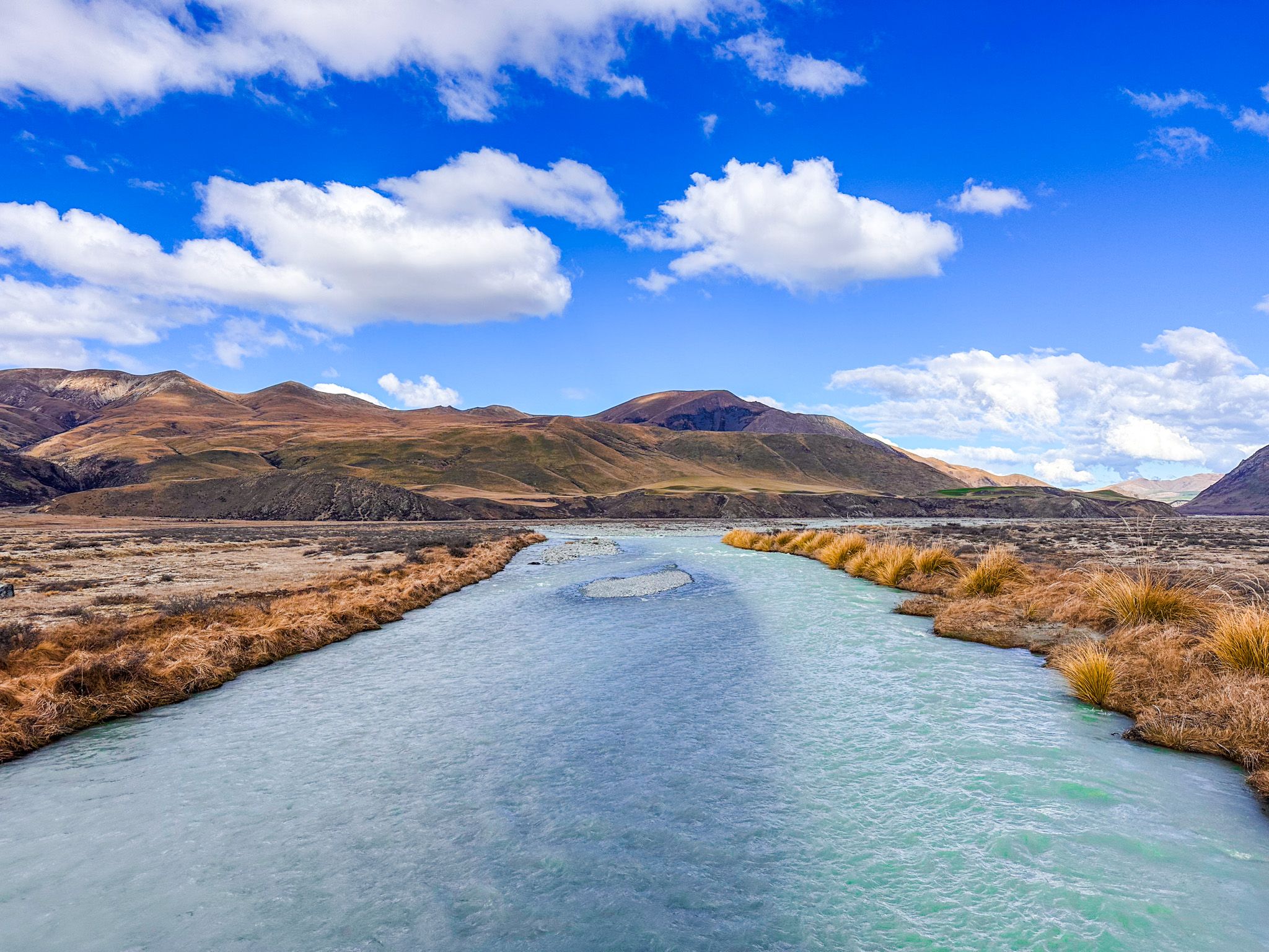
Te Araroa, New Zealand's 3,000 km trail from Cape Reinga to Bluff, follows Hakatere Heron Road from Castleridge to the Hakatere River bridge before turning west toward Lake Clearwater. This section of the trail passes through the heart of the basin, giving walkers a sense of the landscape's scale. Beyond Te Araroa, several multi-day tramping routes reach up the valleys from the Lake Heron end of the road, connecting to huts and high-country terrain in the surrounding ranges. The Double Hut Track (10 km, 3 hours one way) links to the Lake Emily section of Te Araroa and provides access for those wanting to climb Mt Taylor or explore the upper Rakaia River headwaters.
Stops Along the Road
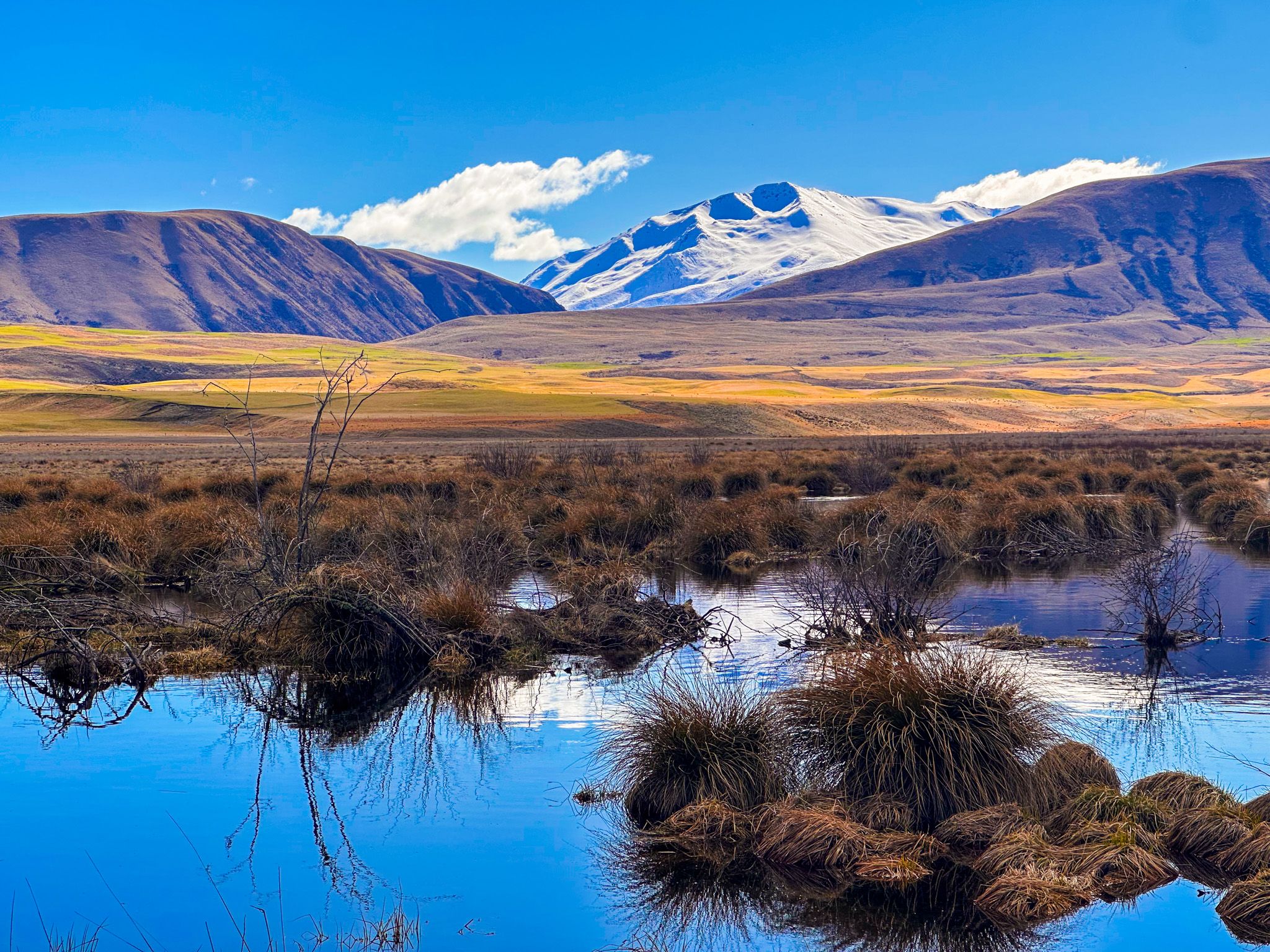
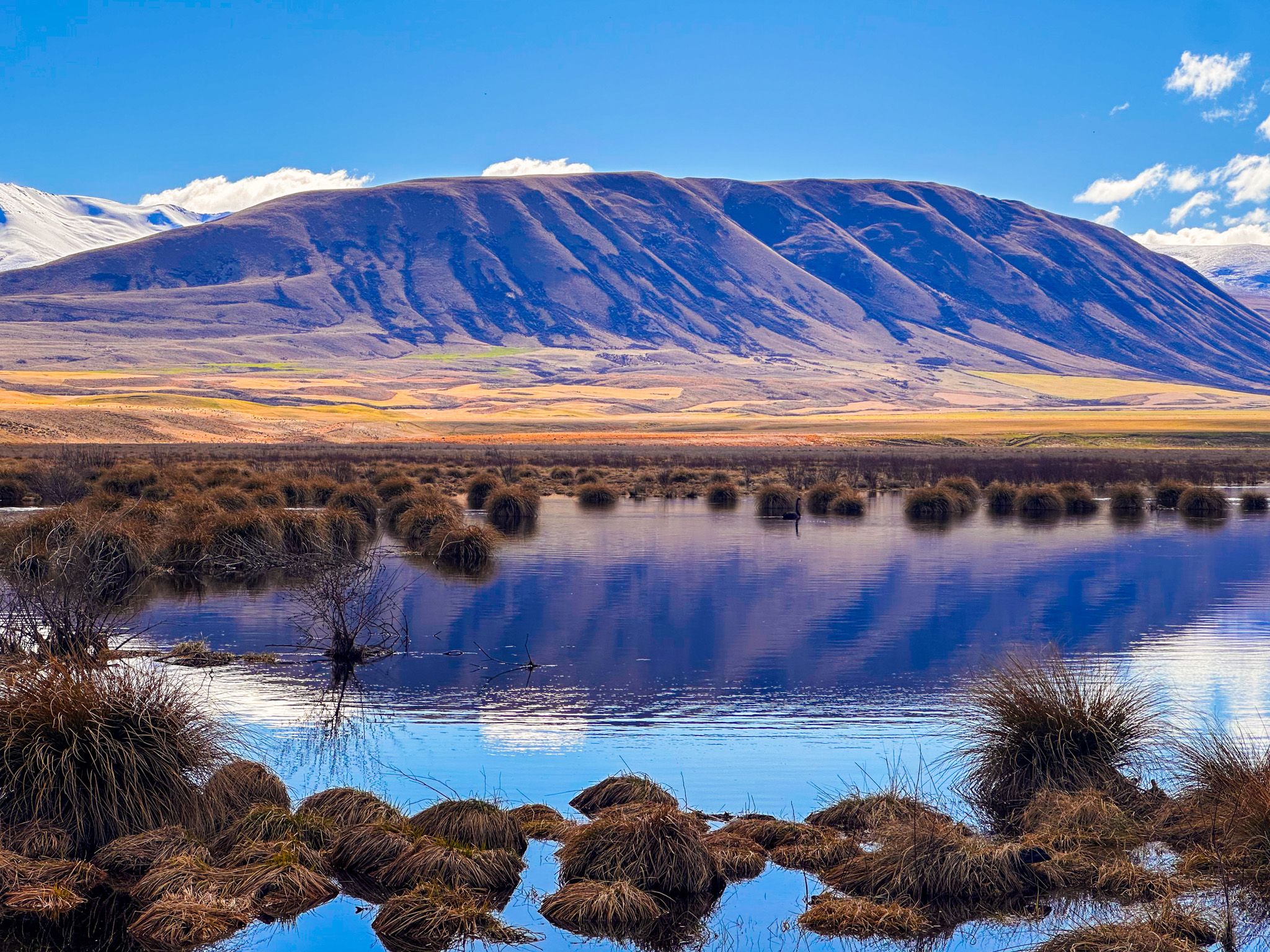
The first stop worth making is Māori Lakes, a group of shallow wetland lakes on the left side of the road, roughly 23 km from the Hakatere junction. The surrounding reeds and tussocks are richly coloured, and on a calm morning, the still water reflects the eastern ranges. A short distance further, access to Lake Emily is on the right of the road, just before the entrance to Castleridge. It is reached via a walk-in or 4WD track and provides access to Manuka Hut for those wanting an overnight stop.
Lake Heron itself is reached before the end of the road, with a first car park on the right shortly after the lake comes into view and a second car park 1.7 km further along the lakeshore, at the start of the Lake Hill, Harrisons Bight, and Double Hut tracks. Lake Heron Station on the northwest shore is the end of the road and provides a third access point and accommodation. The campsite at the southwest end of the lake, run by Arrowsmith Station on an honesty-box basis, is just beyond the first car park.
How to Get There
To reach Hakatere Conservation Park, take Ashburton Gorge Road from the small town of Mt Somers on the edge of the Canterbury Plain, southeast of Methven and Mt Hutt on the Arundel Rakaia Gorge Road. As it enters the Park, the road changes to gravel. Head north on Hakatere Heron Road to get to Lake Heron, or continue west on Hakatere Potts Road to access Lake Clearwater and most other lakes. From Christchurch, the drive to Hakatere takes 105 minutes and is 142 km.
Nearby places to visit include the Hakatere Potts Road corridor to the west, which provides access to Lake Emma, Lake Roundabout, Lake Clearwater, Lake Camp, Mount Sunday, and Spider Lakes.