Exploring the Rere Lake Walk
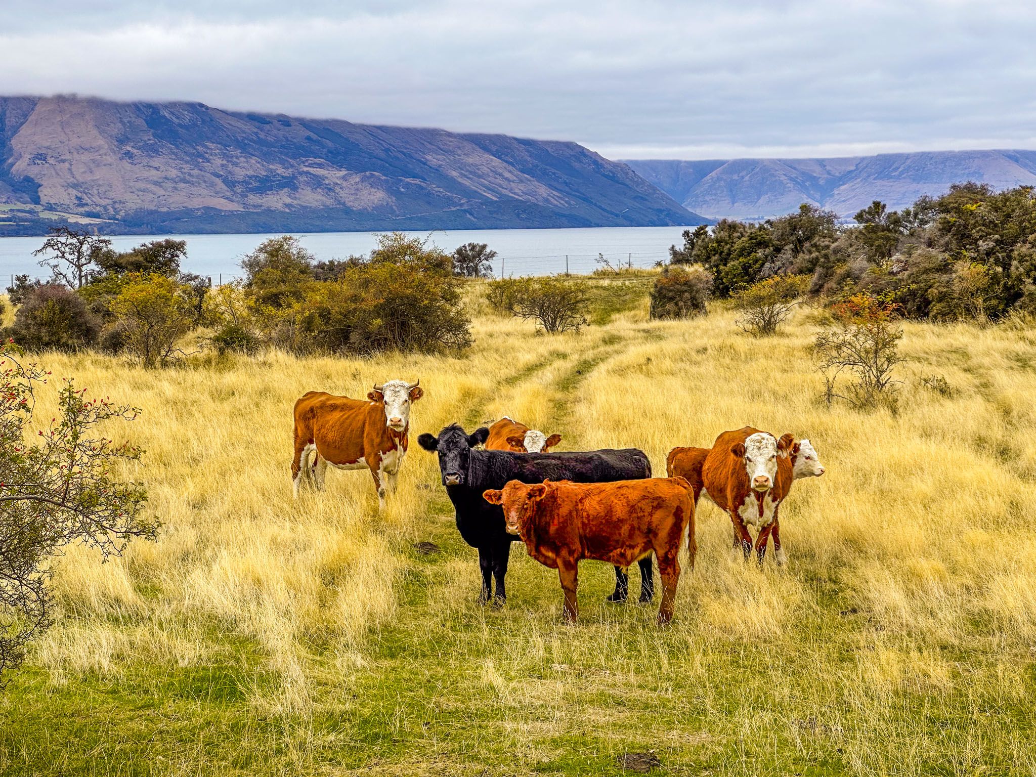
Located at the southeast end of the Greenstone-Caples Conservation Area, the Rere Lake Walk, a 14.3 km loop, is a diverse day-hike experience. This track is unique, traversing paddocks with sheep and cattle, ancient beech forests, areas where the forest is reclaiming former farmland, and views of remote Rere Lake. A highlight is the scenic walk along the Greenstone Track above the Greenstone River. Starting at the car park at the end of Greenstone Station Road, the walk typically takes 5 to 6 hours to complete.
Track Highlights and Features
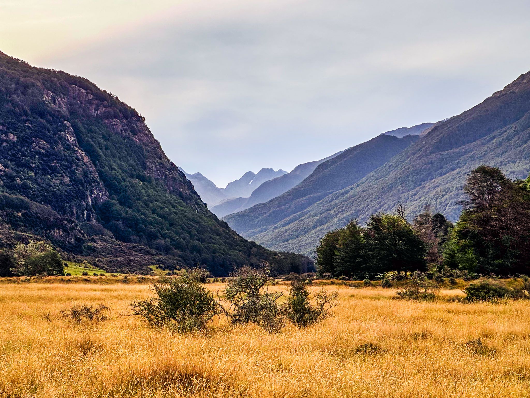
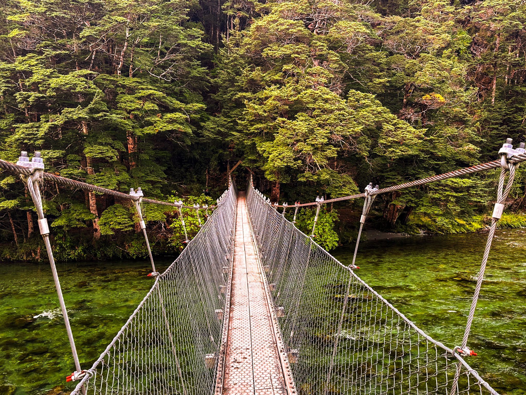
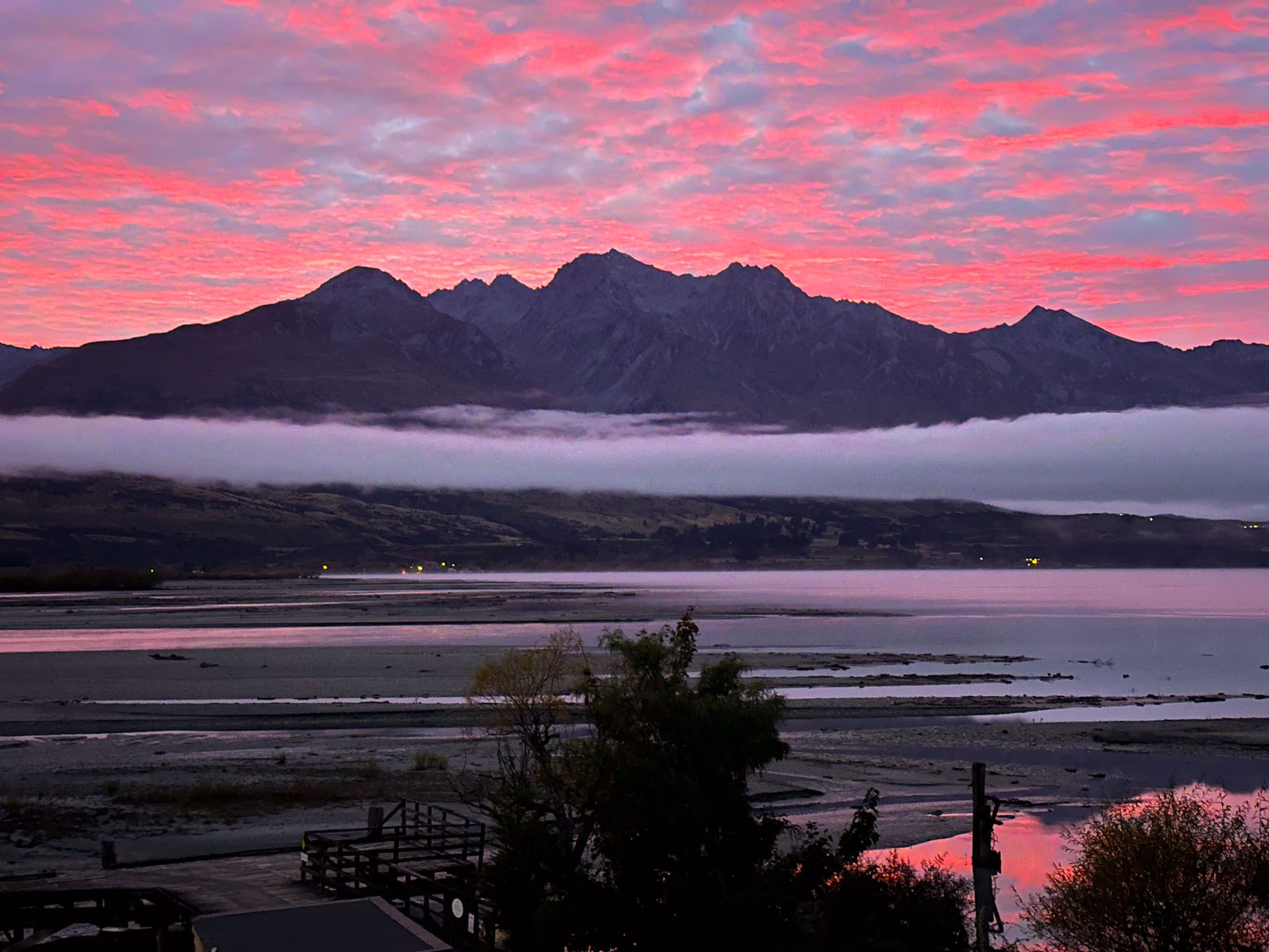
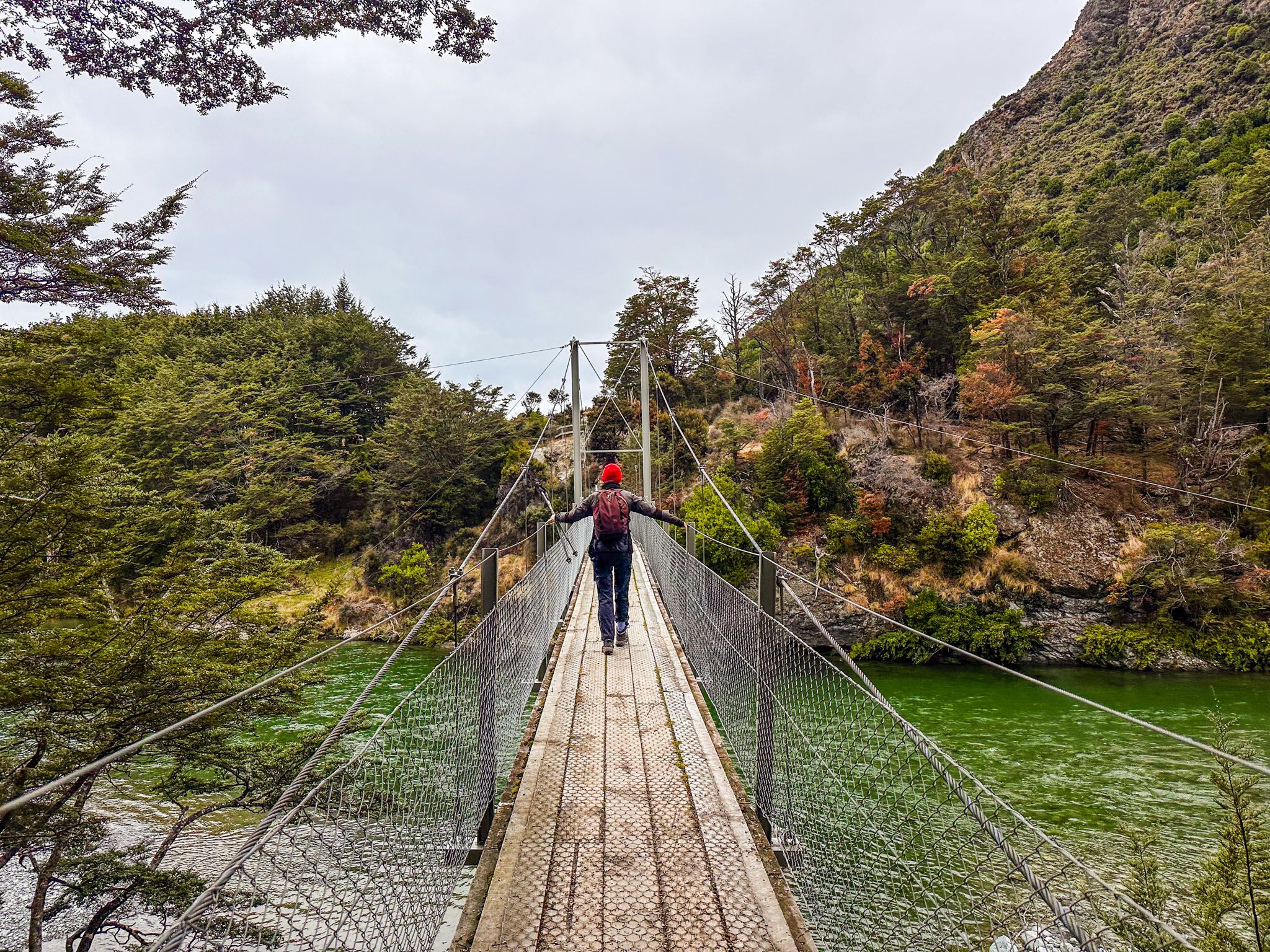
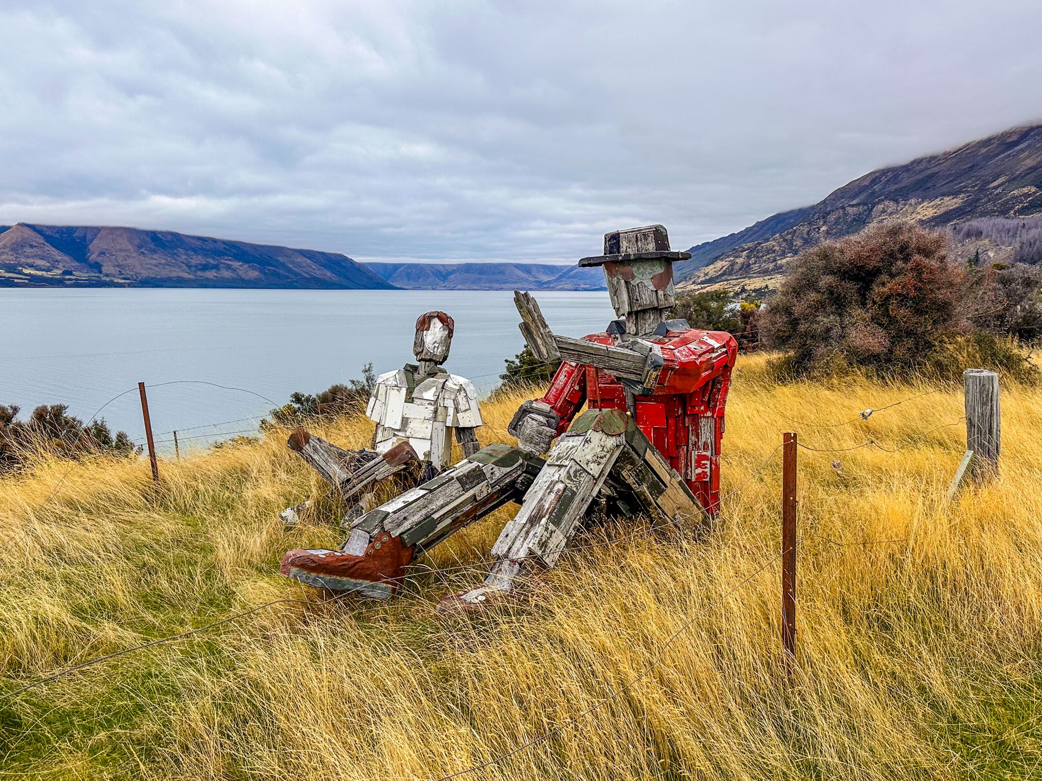
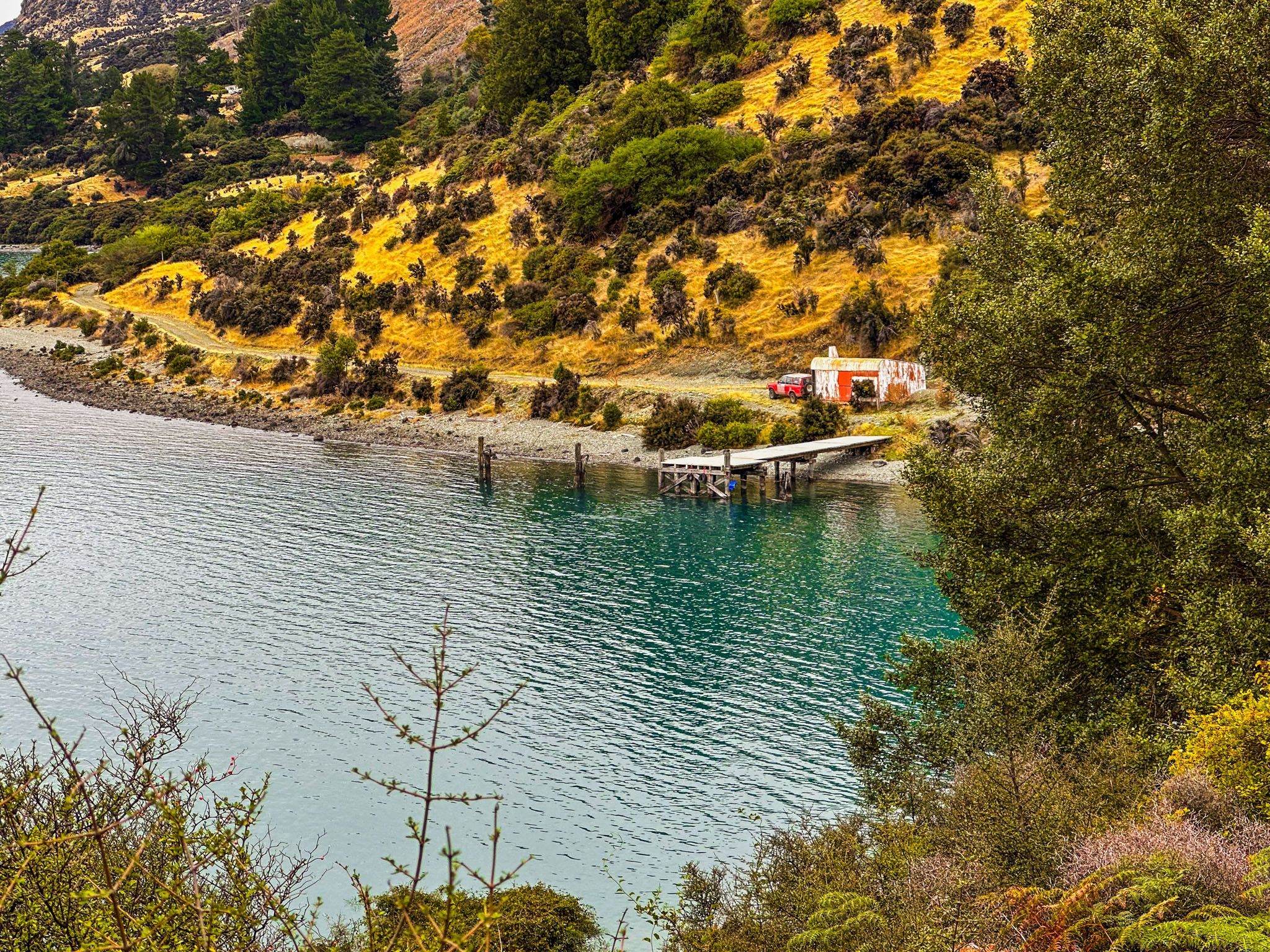
Beginning with a swing bridge crossing over the Greenstone River, the track leads you to the high paddock flats of the station. The initial 3 km is an easy walk across the Greenstone Station flats, with a few short climbs reaching up to 60 metres above the lake. The views over the lakes towards the Richardson Mountains are stunning. Along the way, you will encounter the Wisdom Sponge, a pair of quirky, large wooden figures. After the flats, a short, steep descent brings you to Elfin Bay, where there is a historic wharf and stony beach.
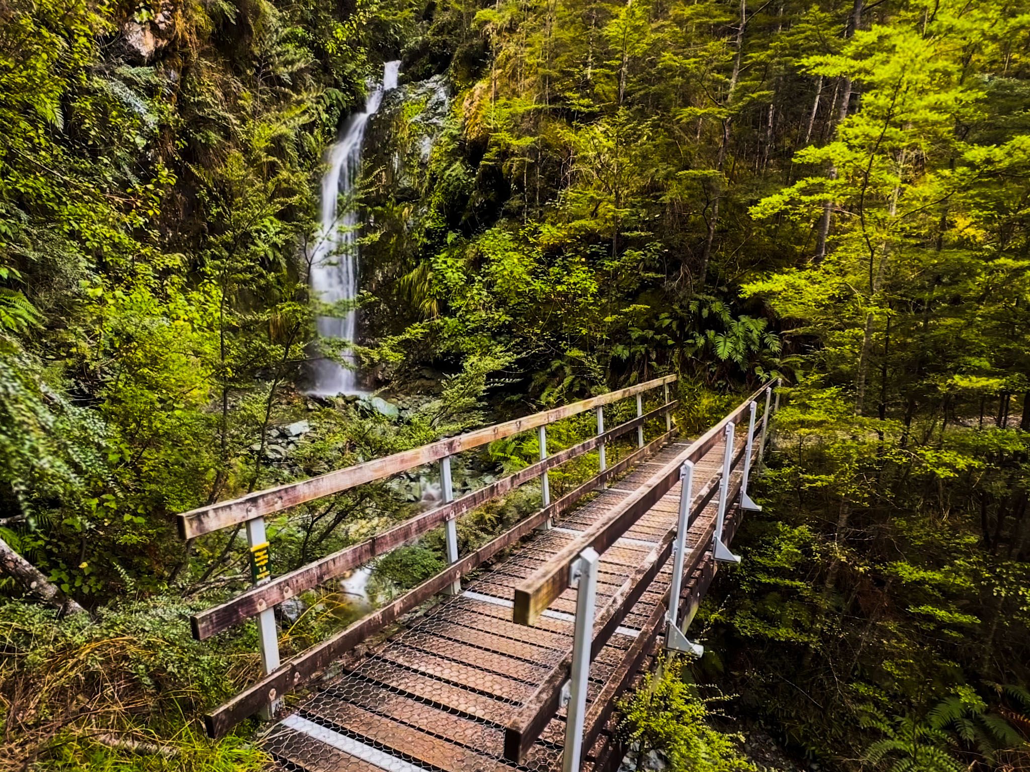
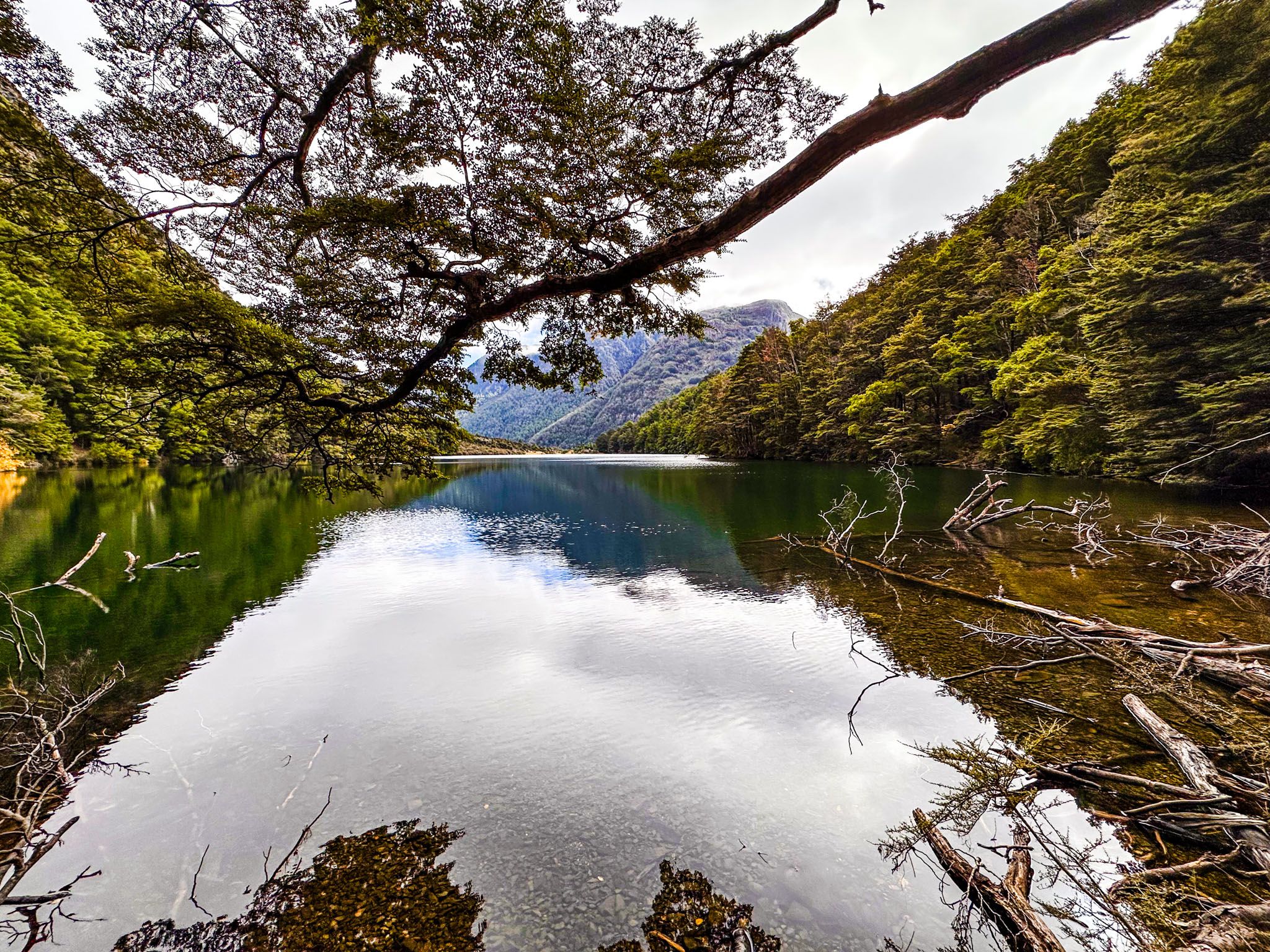
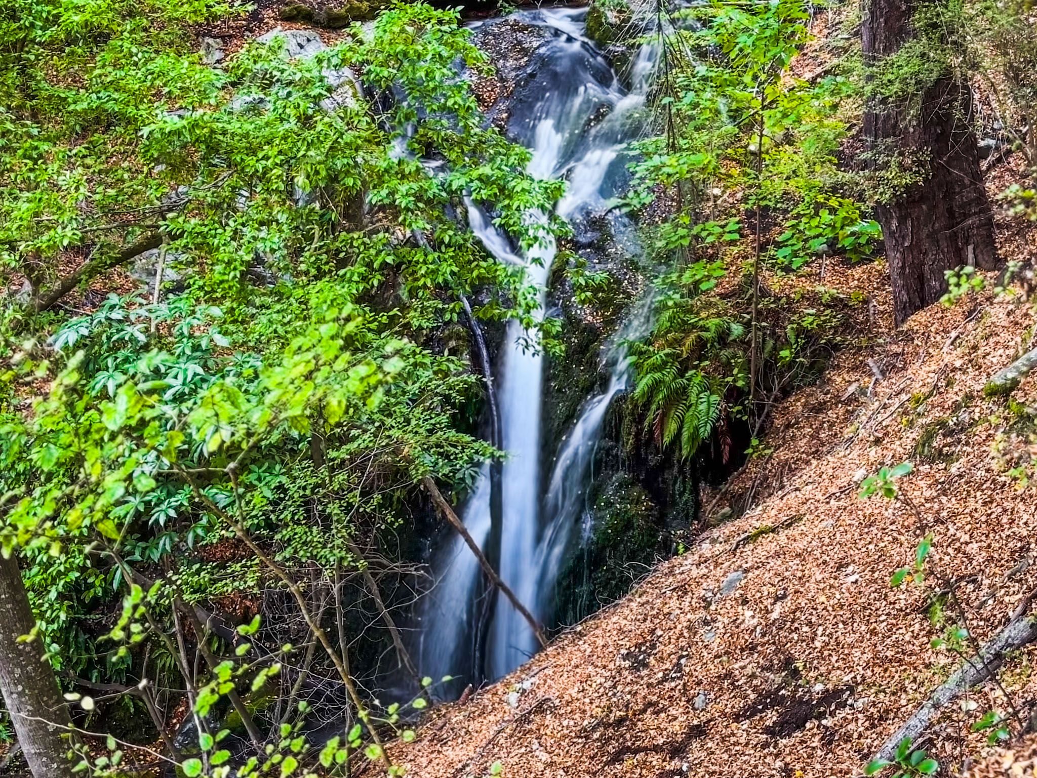
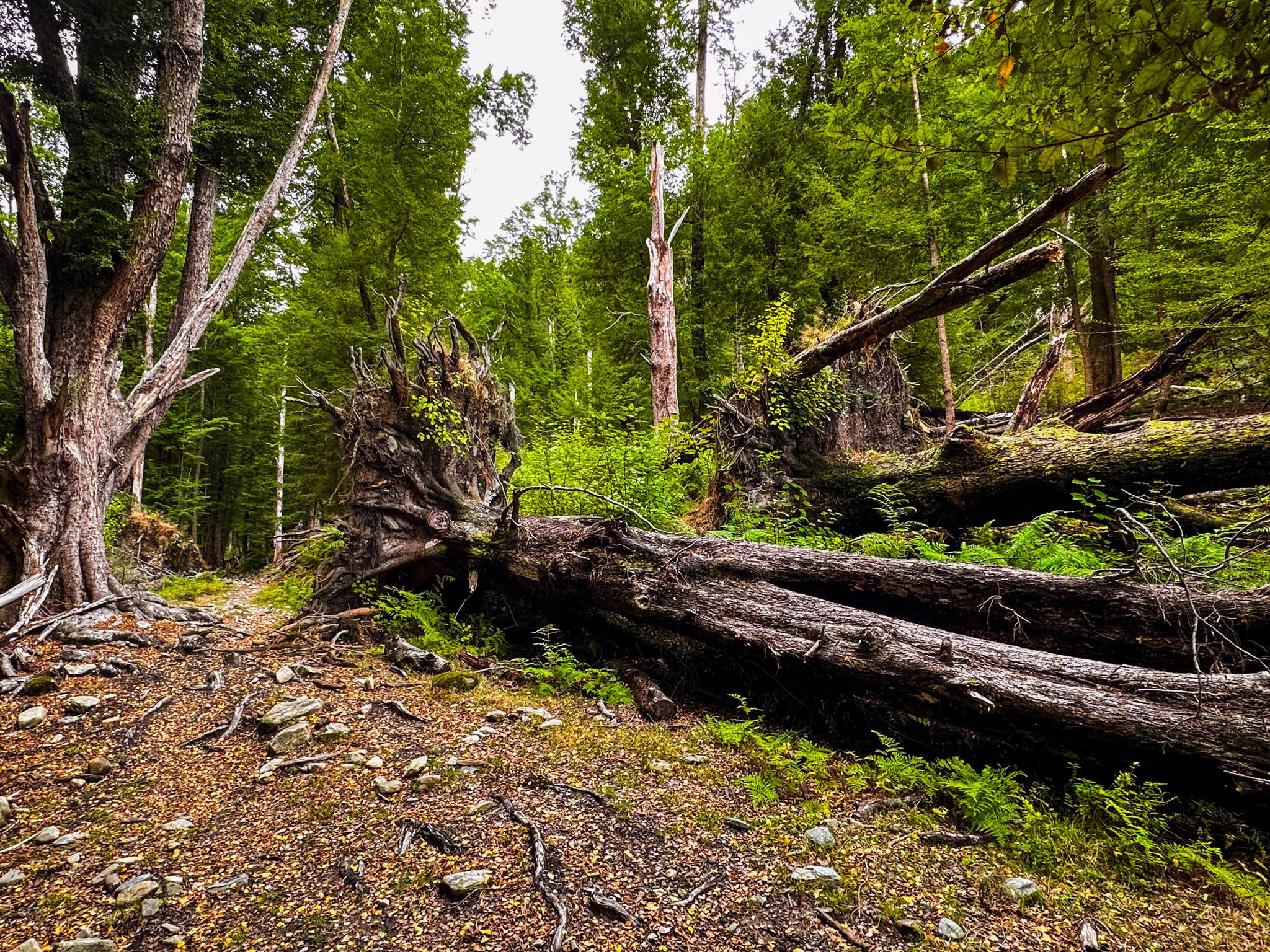
From Elfin Bay, a steep 100-metre climb follows a stream with waterfalls, beech trees, and large boulders. This leads to a straightforward 3 km walk with a gentle incline through beech forest to the lake. This route was popular in the early 1900s with day trippers arriving by steamboat from Queenstown, and the lake has its own reserve status. The forest here shows signs of past storms with treefall and small open grasslands.
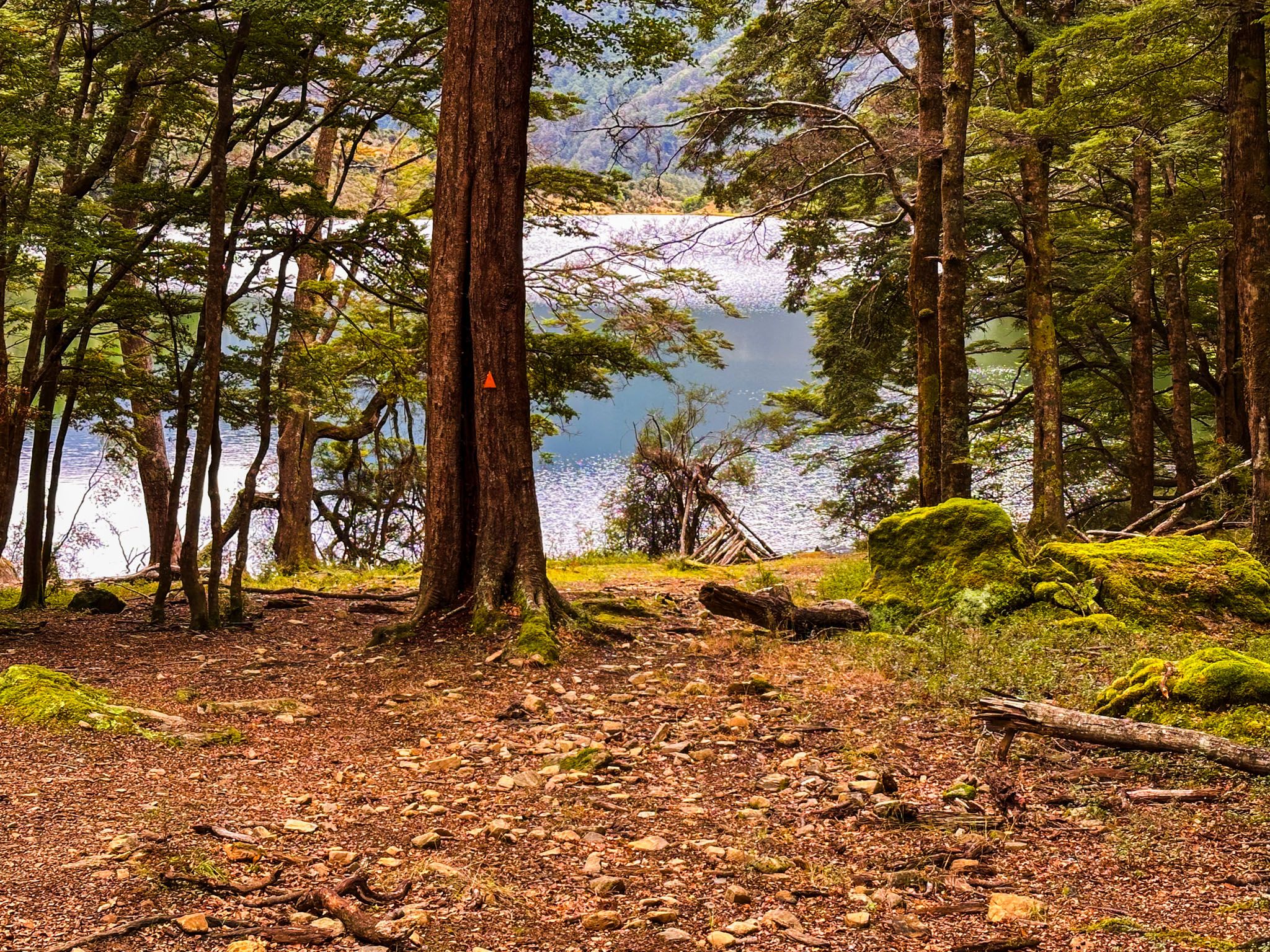
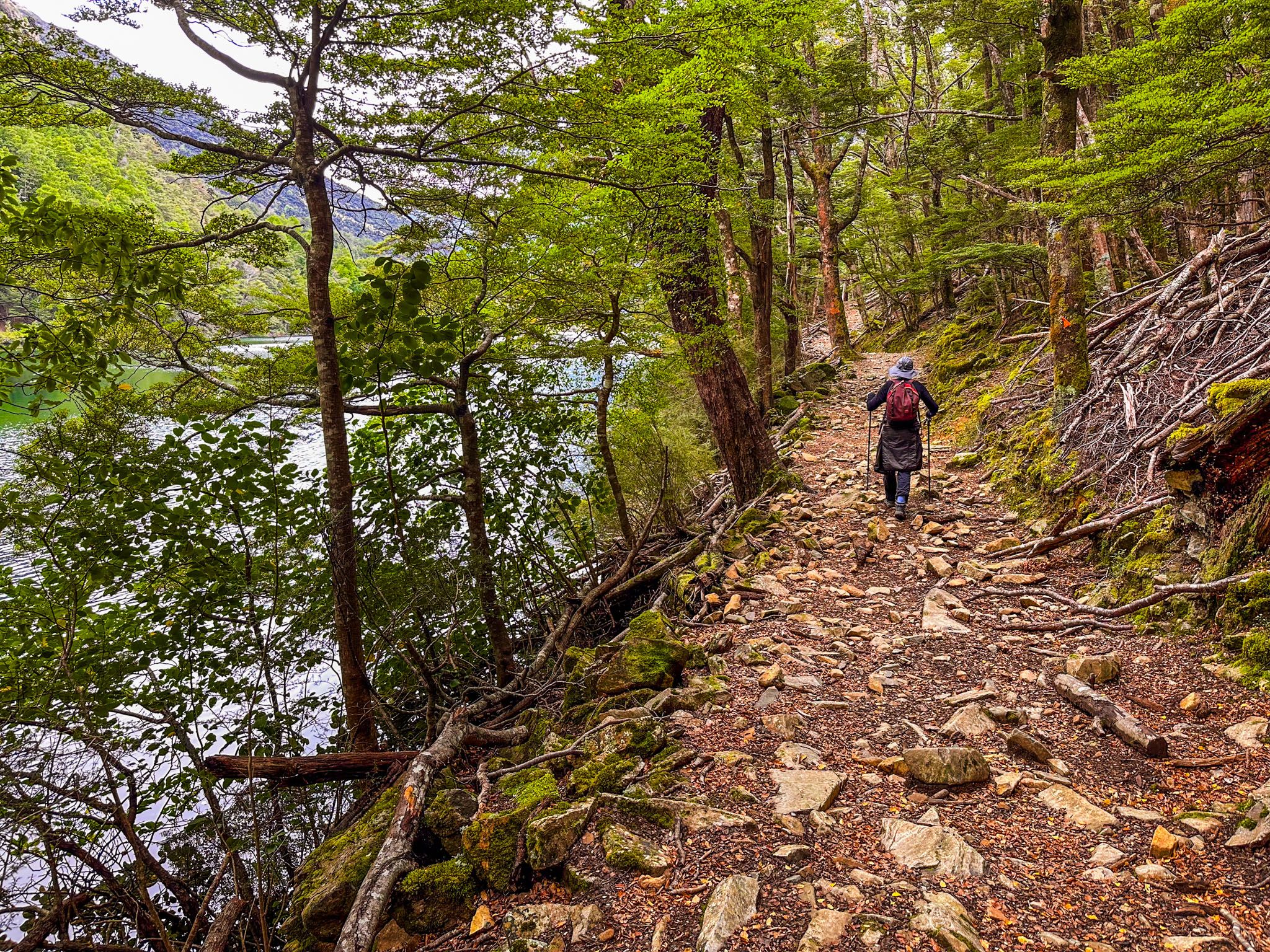
Lake Rere and Surroundings
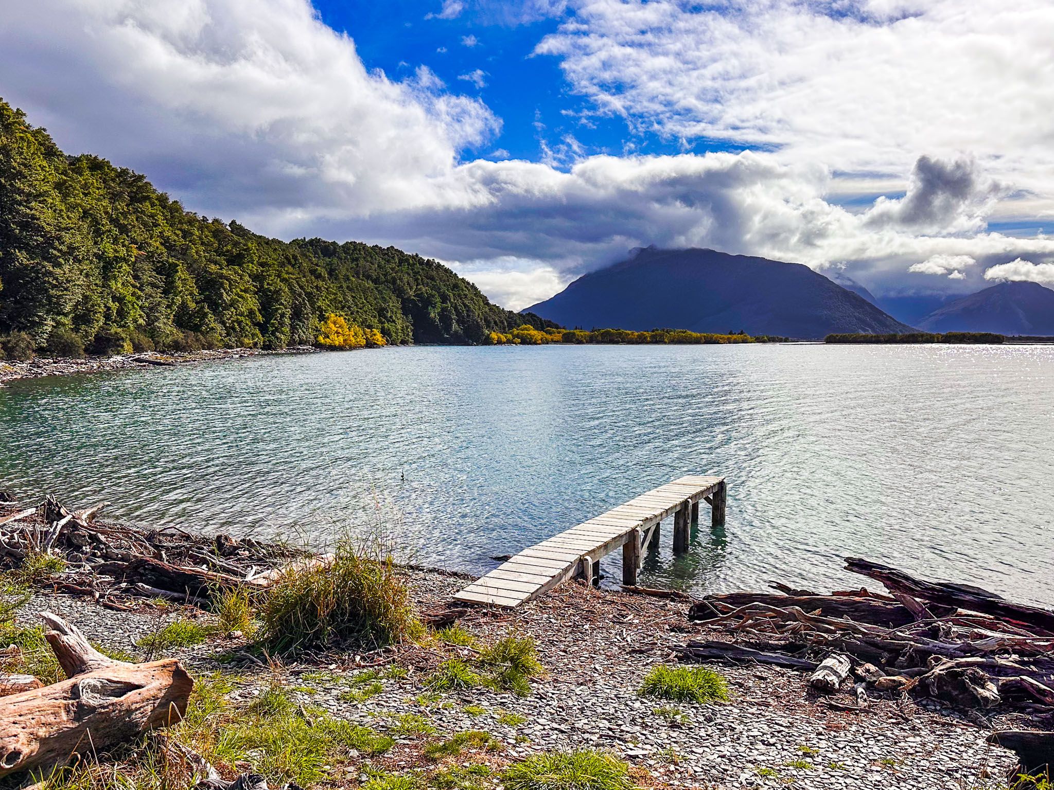
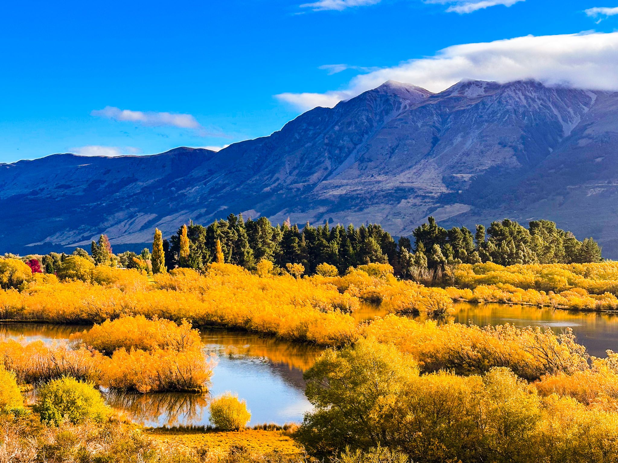
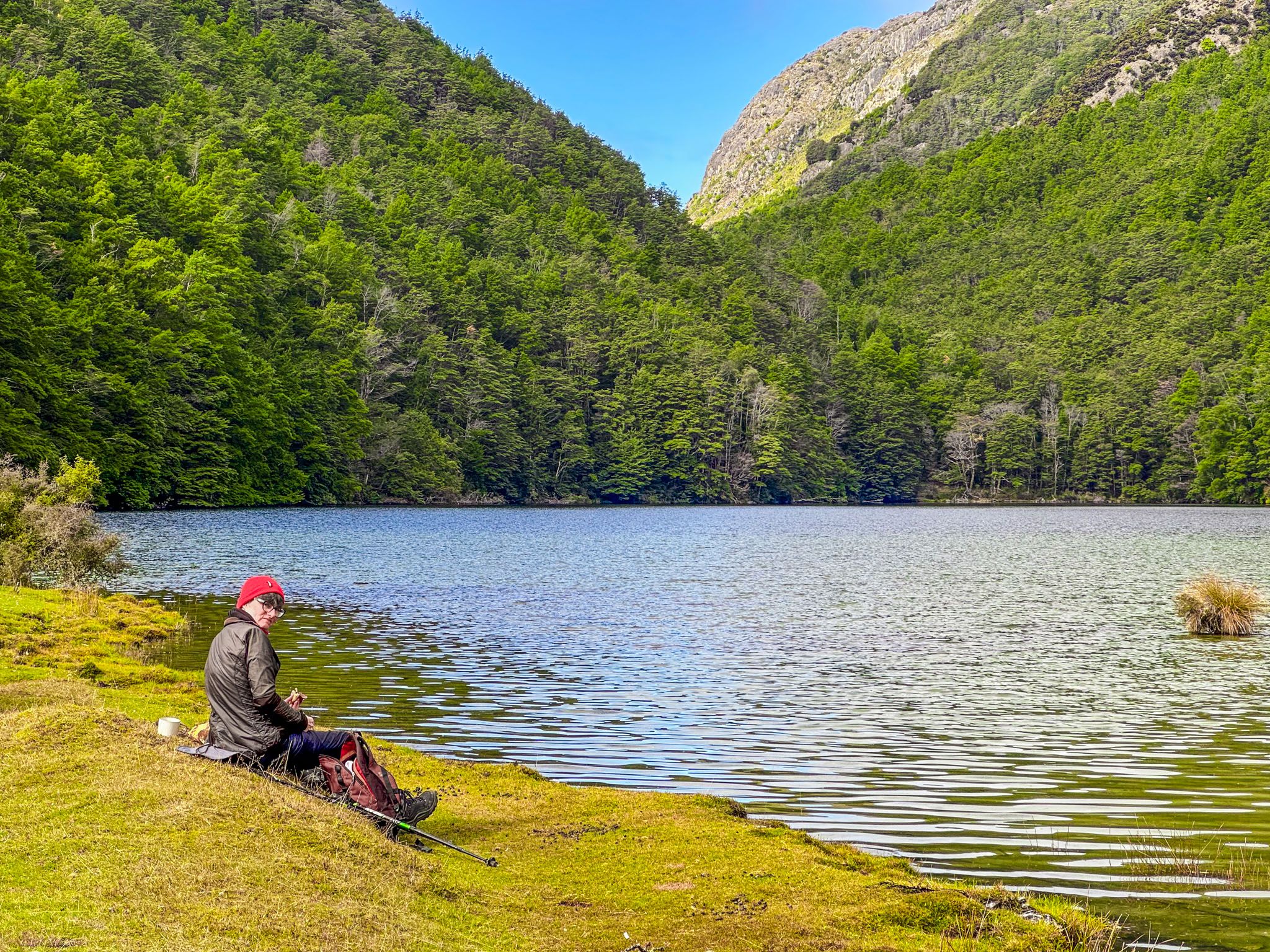
The west end of Lake Rere is mostly forested up to the water's edge. At the east end, a large grassy area is ideal for picnics and swimming, though you should watch out for rabbit droppings. The area also provides a great view of Tooth Peak to the south. Sandflies can be a nuisance, so take a break in the forest if needed to avoid them.
Continuing the Walk
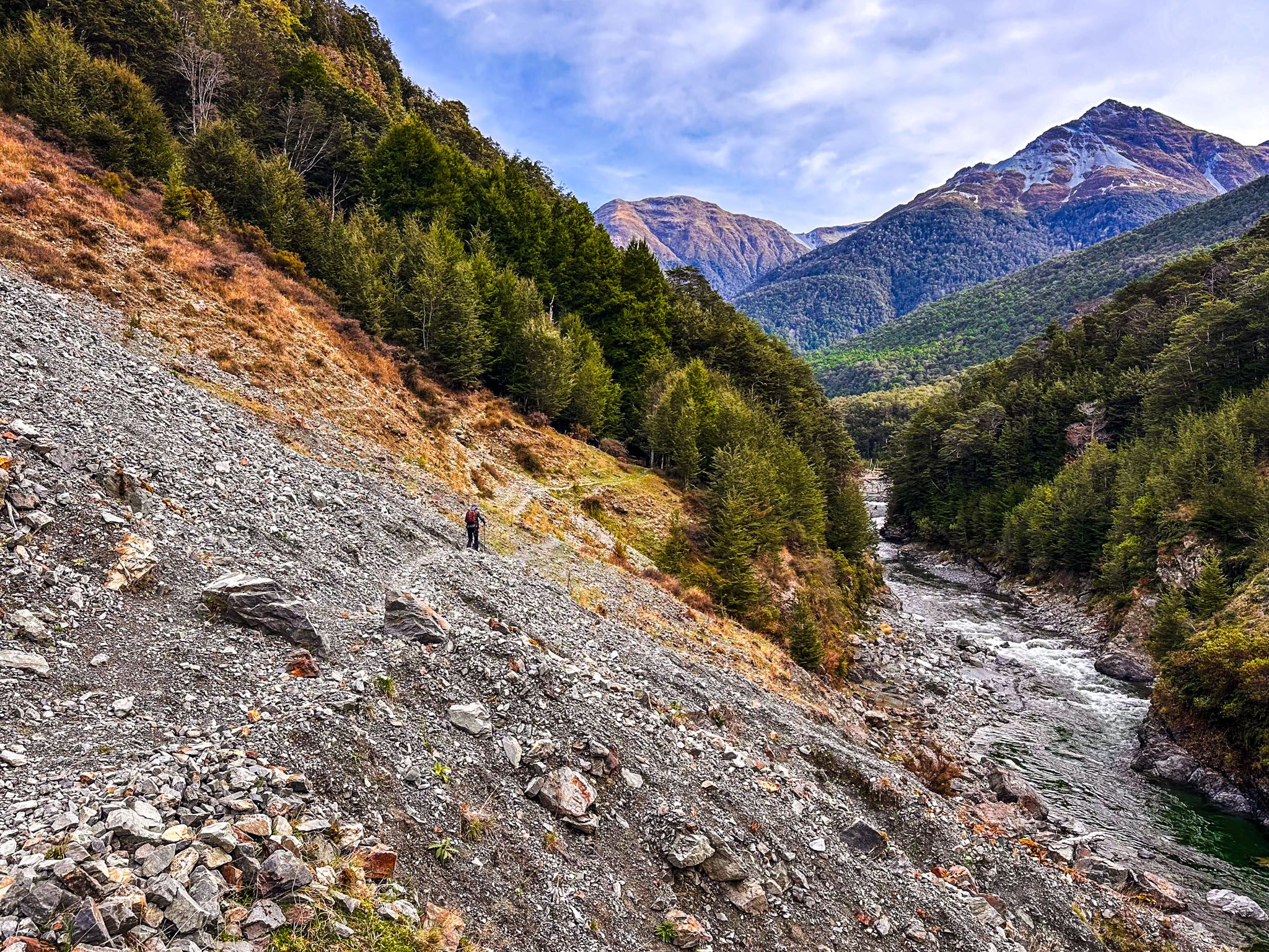
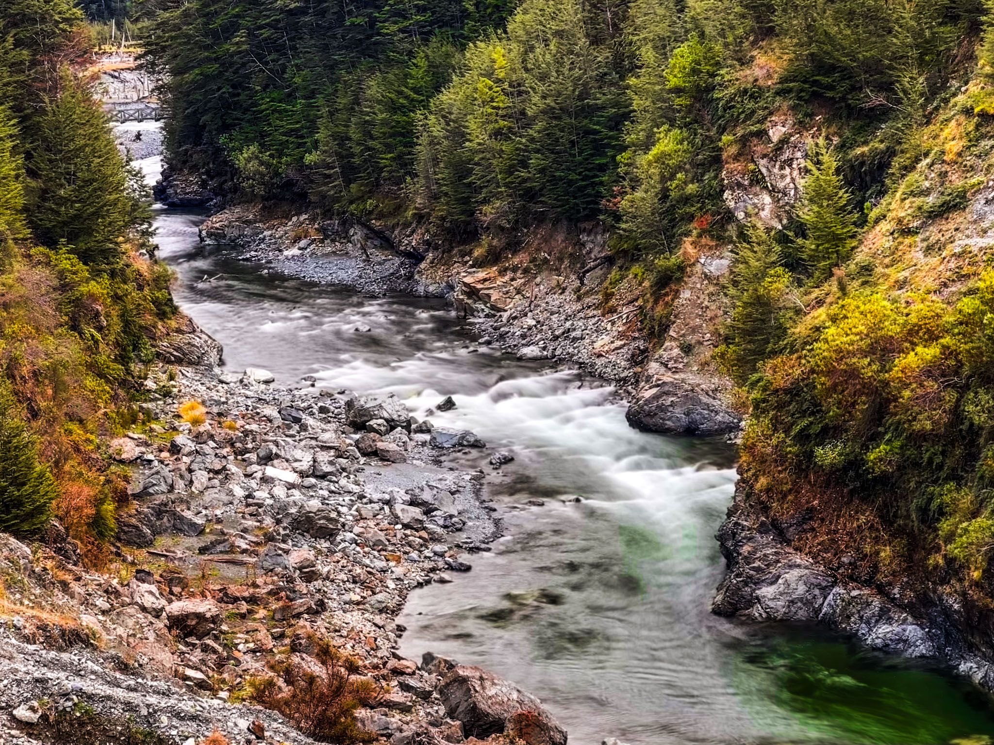
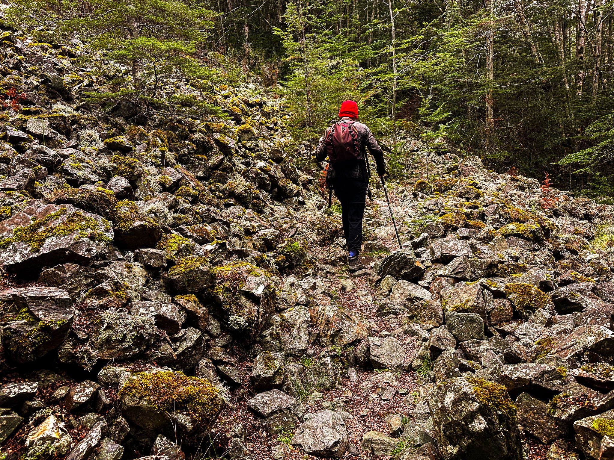
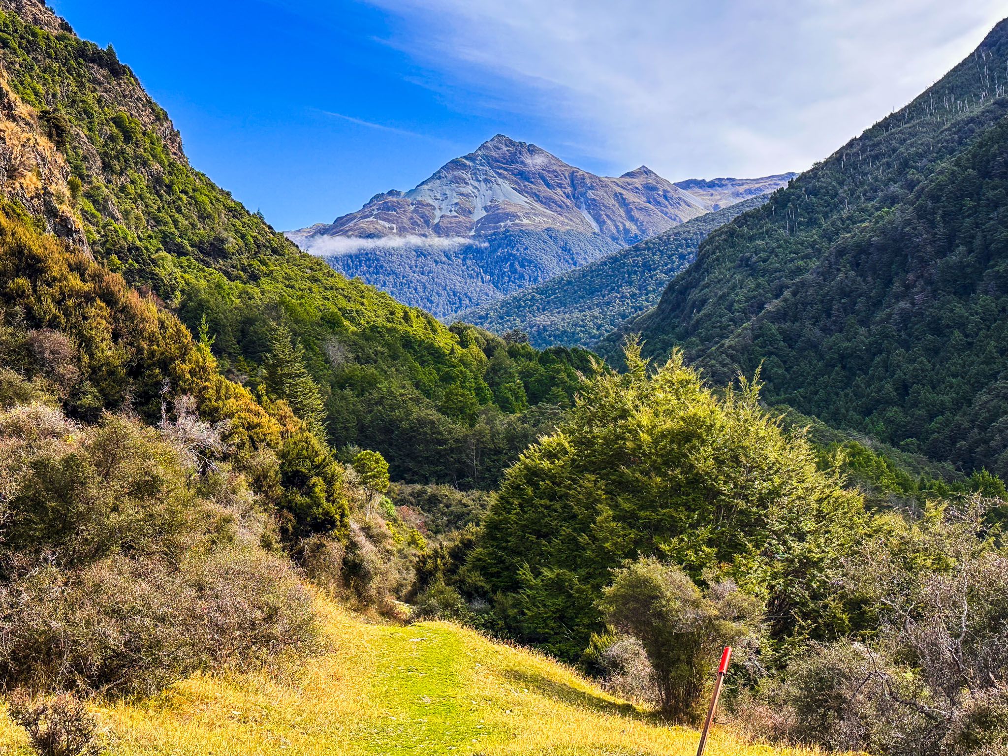
From the lake, the track continues west and downhill through a mix of open pasture, scrubland, and forest, with one rocky stream crossing. Keep an eye out for deer and goats. As you near the Greenstone River, you'll encounter a large gravel slip with expansive views of the river rapids and gorge. The track follows the river for about a kilometre before crossing a swing bridge and climbing sharply by 80 metres to connect with the Greenstone Track at the southern end of the Ailsa Mountains.
Returning to the Car Park
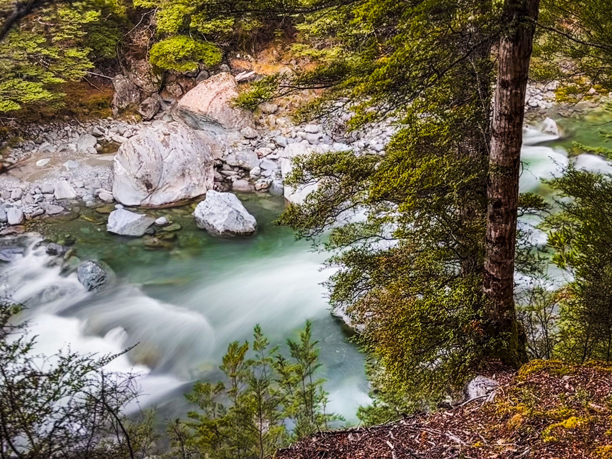
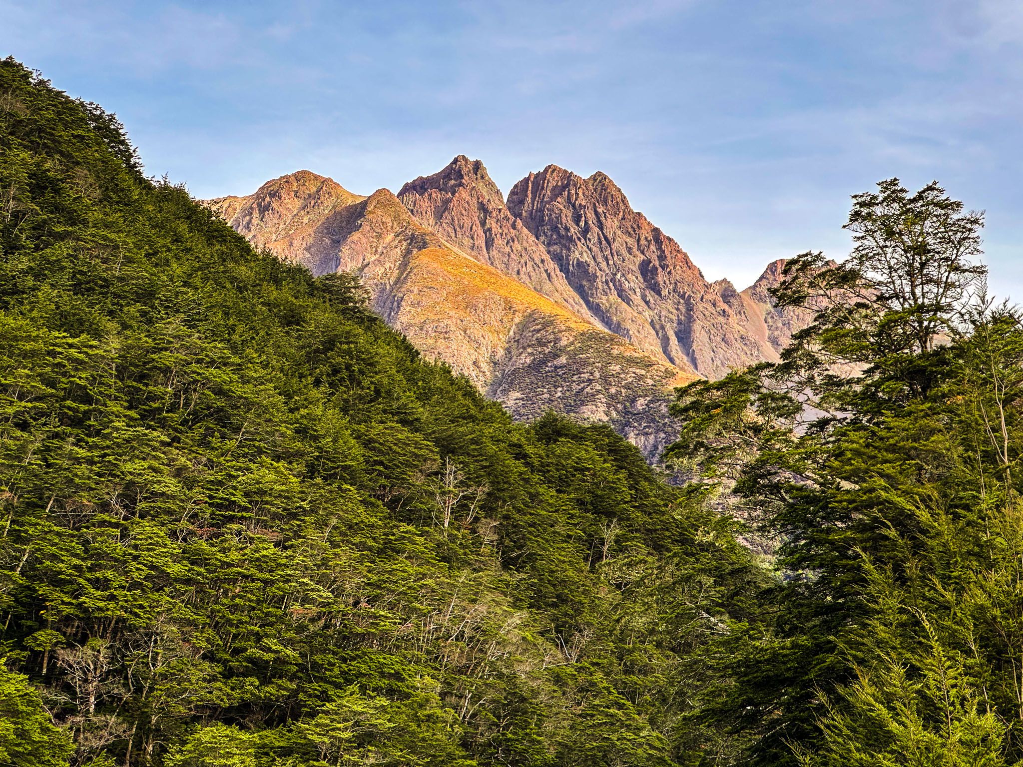
From this point, you have about 7 km left to return to the car park. The path is mostly through beech forest along the river, featuring narrow ravines with bridges and waterfalls, slip gravel fields, and excellent river views. After approximately 5 km, you reach the Caples Valley. Cross the golden grasslands and a swing bridge over the Caples River and pass the Caples Track junction. The final 2 km undulate along the southeast tip of the Humboldt Mountains, following the Greenstone River back to the car park.
Getting to the Rere Lake Walk
To reach the trailhead from Glenorchy, take the Glenorchy-Paradise Road, which becomes a sealed road leading to the end of the Glenorchy Routeburn Road. At the end of the sealed road, turn south onto Kinloch Road and continue through Kinloch onto Greenstone Station Road. This gravel road includes several fords but is generally suitable for 2WD vehicles. The car park is located at the end of the road.
Choose a day with fine weather for your walk, as streams along the track can become challenging after heavy rain. The walk is rated as moderate, but its length and the slow-going section from Lake Rere to the Caples Valley require you to allow the full time.
Other places to explore at the end of Lake Wakatipu include the Kinloch Nature Walk, a day walk on the Routeburn Track to Routeburn Falls, Lake Sylvan Track, Diamond Creek Walk, and a day walk in the Dart Valley.