Exploring Te Ara Tahuna Pathway
Te Ara Tahuna Pathway is a scenic shared path that meanders around the Ōrewa River estuary in Ōrewa, on the Hibiscus Coast of Auckland. This 7.6 km loop is also part of Te Araroa. The pathway offers a leisurely walk with captivating views of the estuary, making it a delightful experience for those interested in both nature and local history.
A Walk Through Nature and History
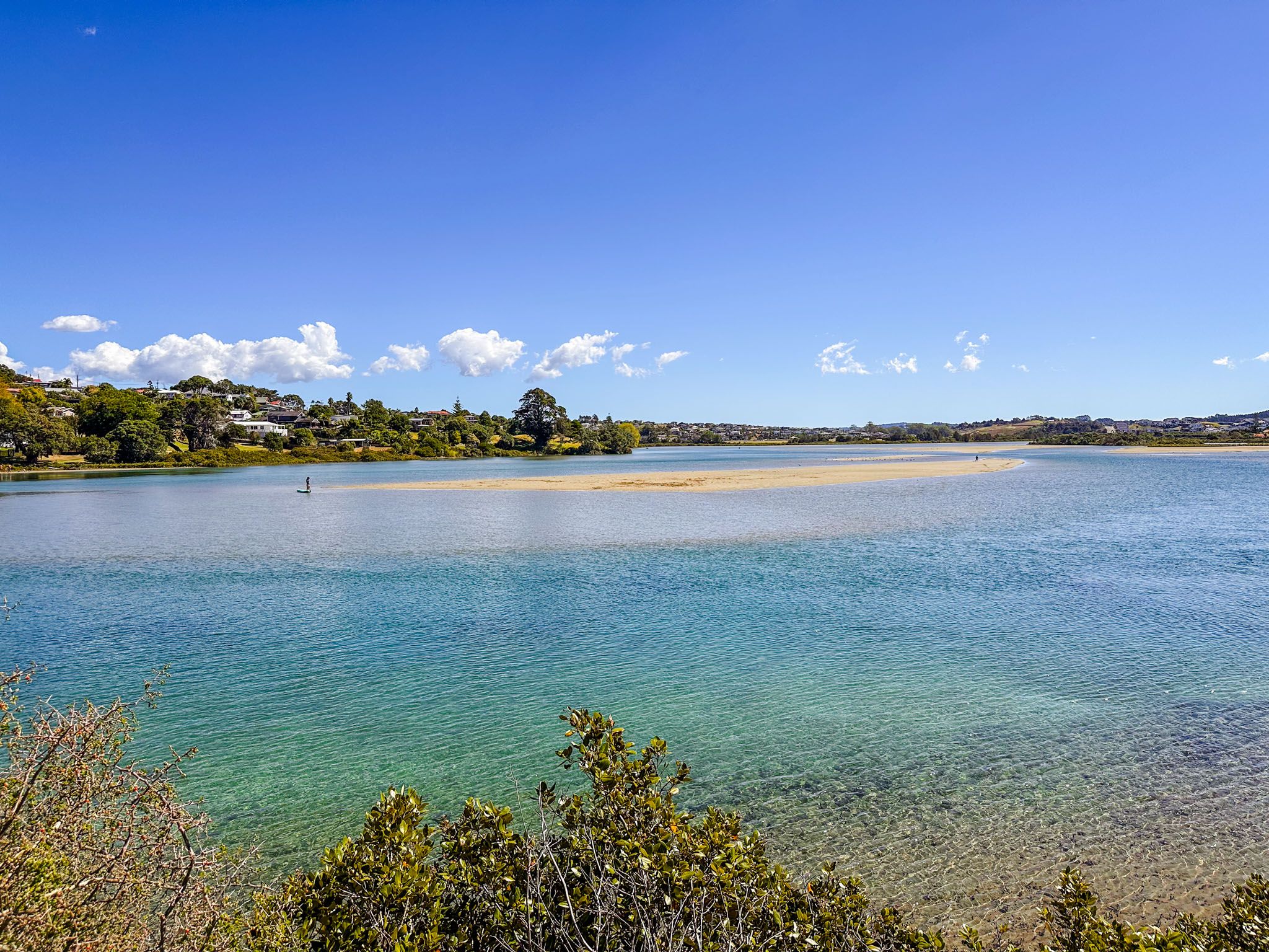
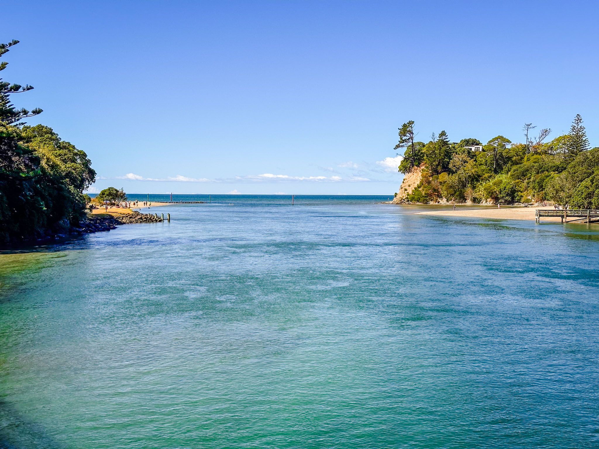
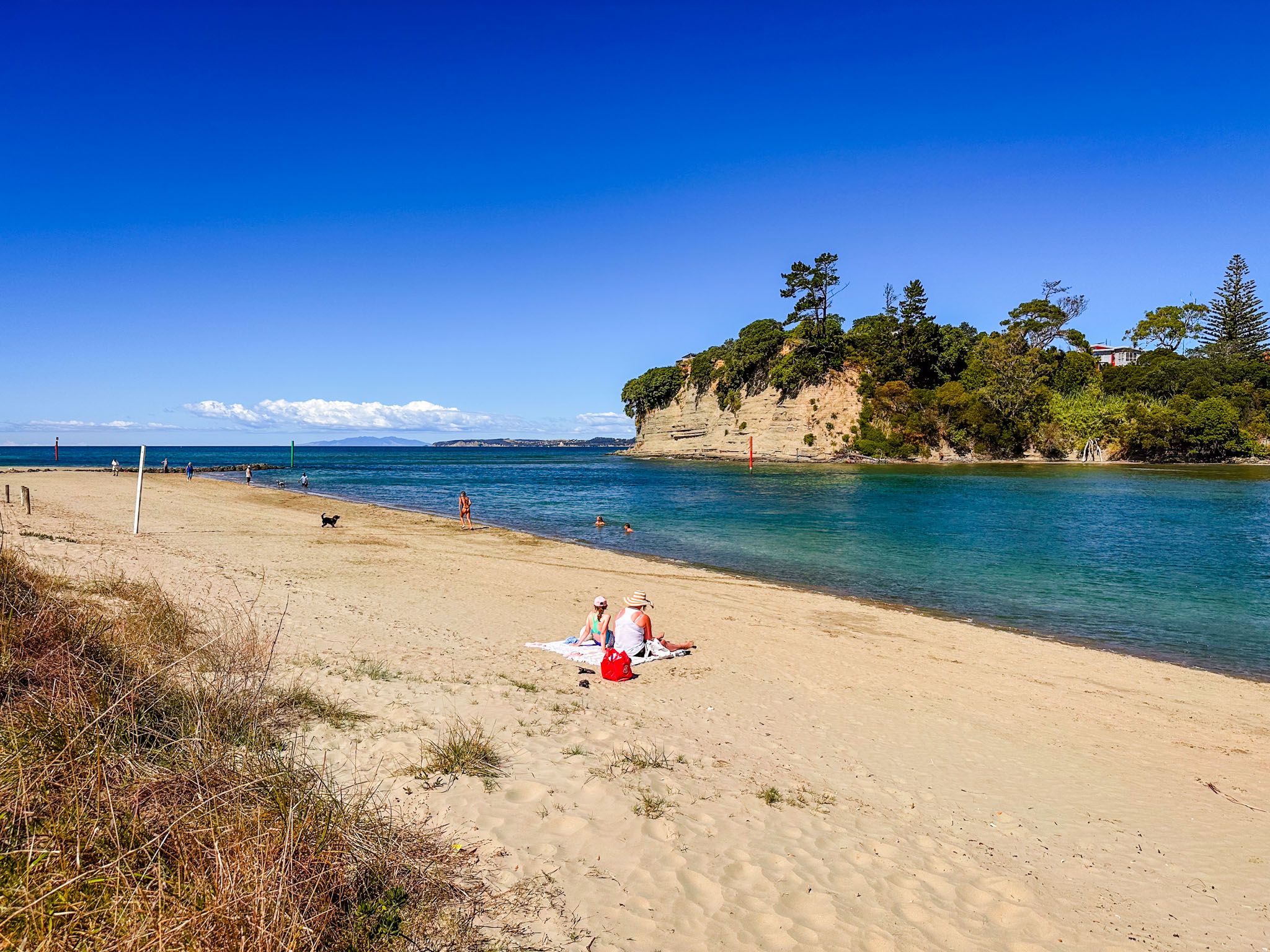
The Ōrewa River flows through the Hibiscus Coast, eventually reaching Whangaparāoa Bay in the Hauraki Gulf. Near the river mouth, you'll find Te Motu-o-Marae-Ariki, also known as Crocodile Island. The pathway itself is flat and easy, taking about 90 minutes to 2 hours to complete.
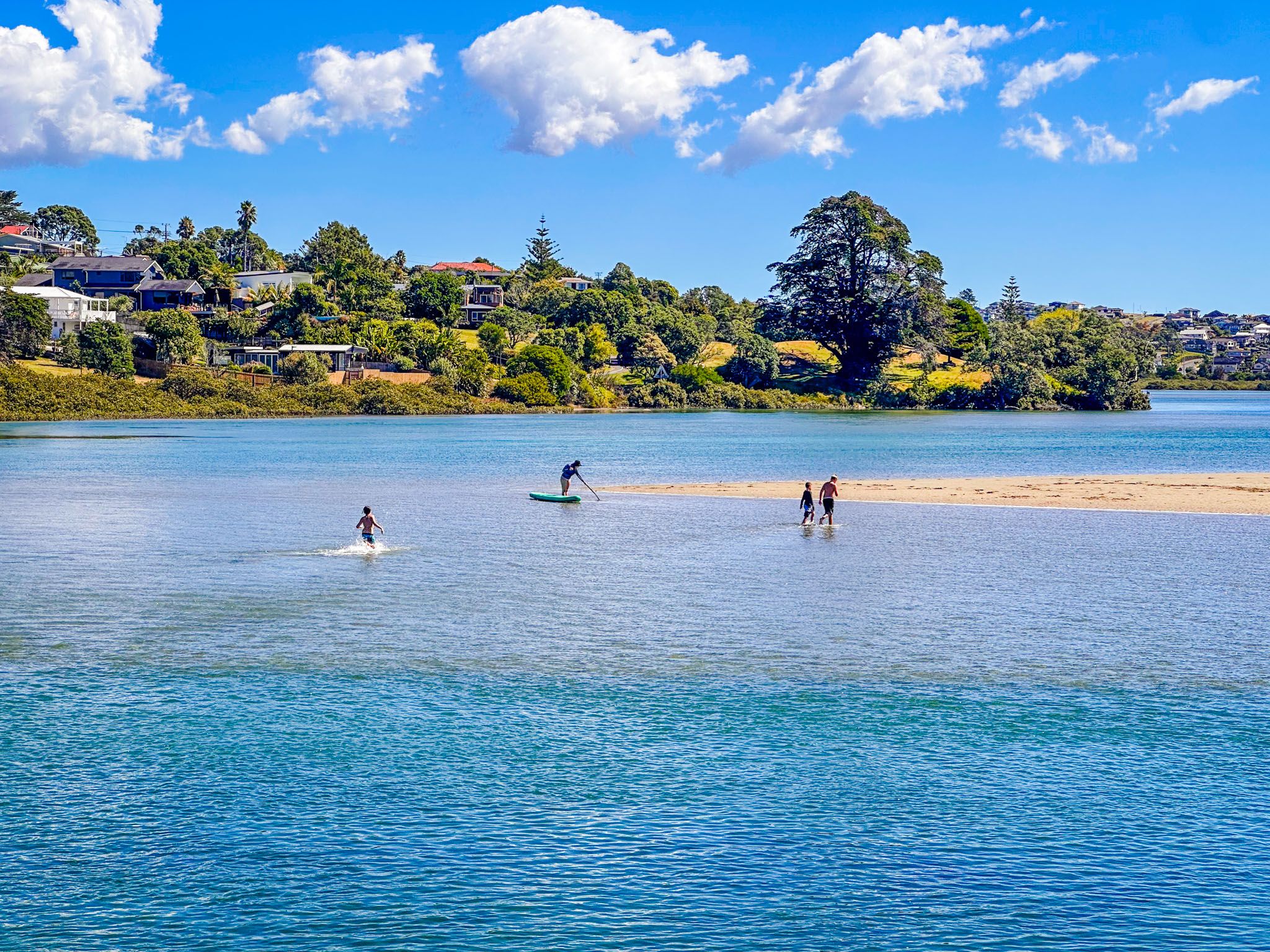
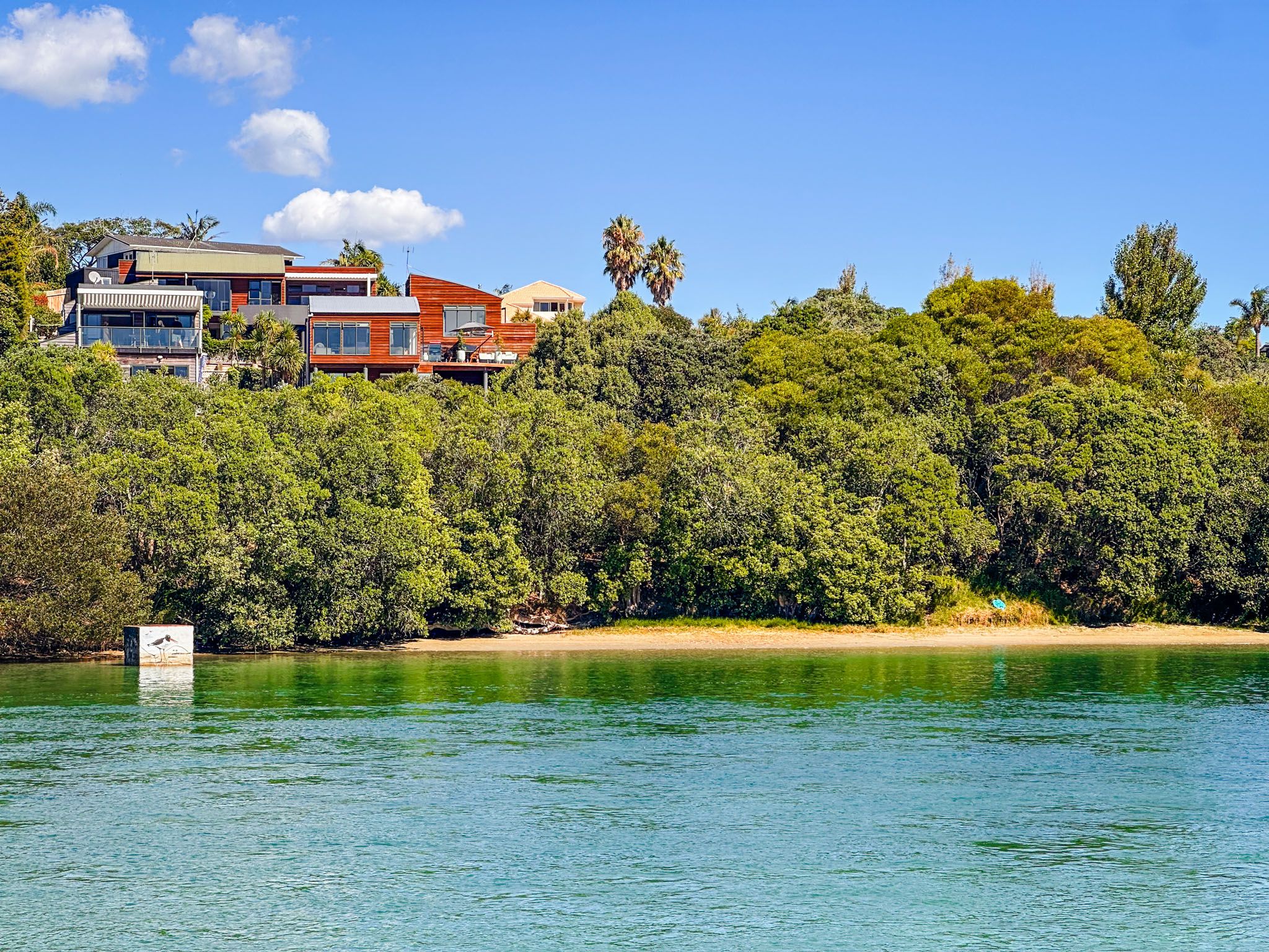
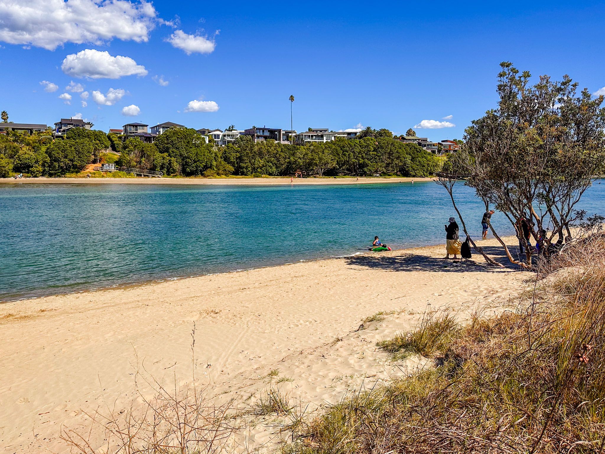
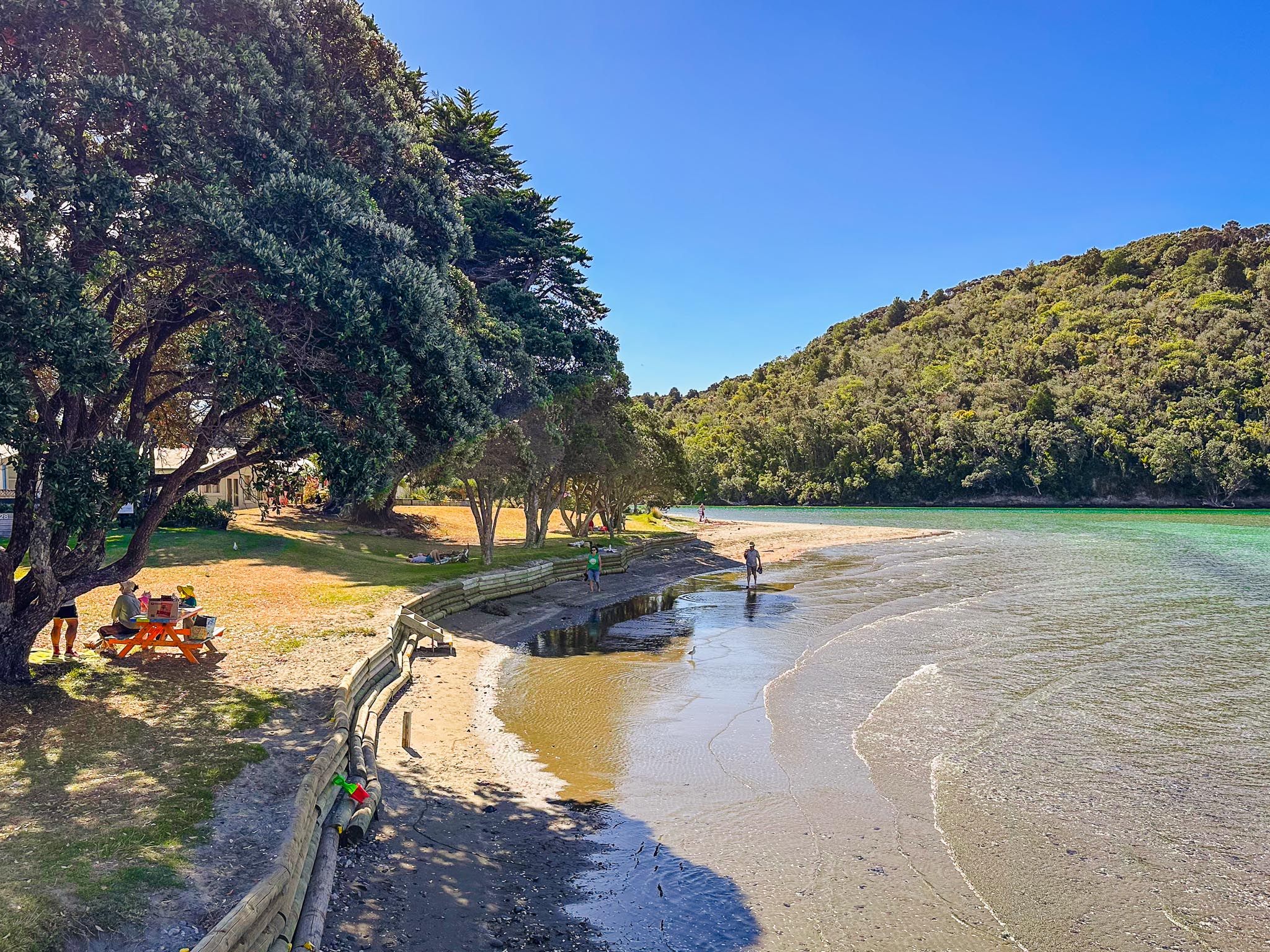
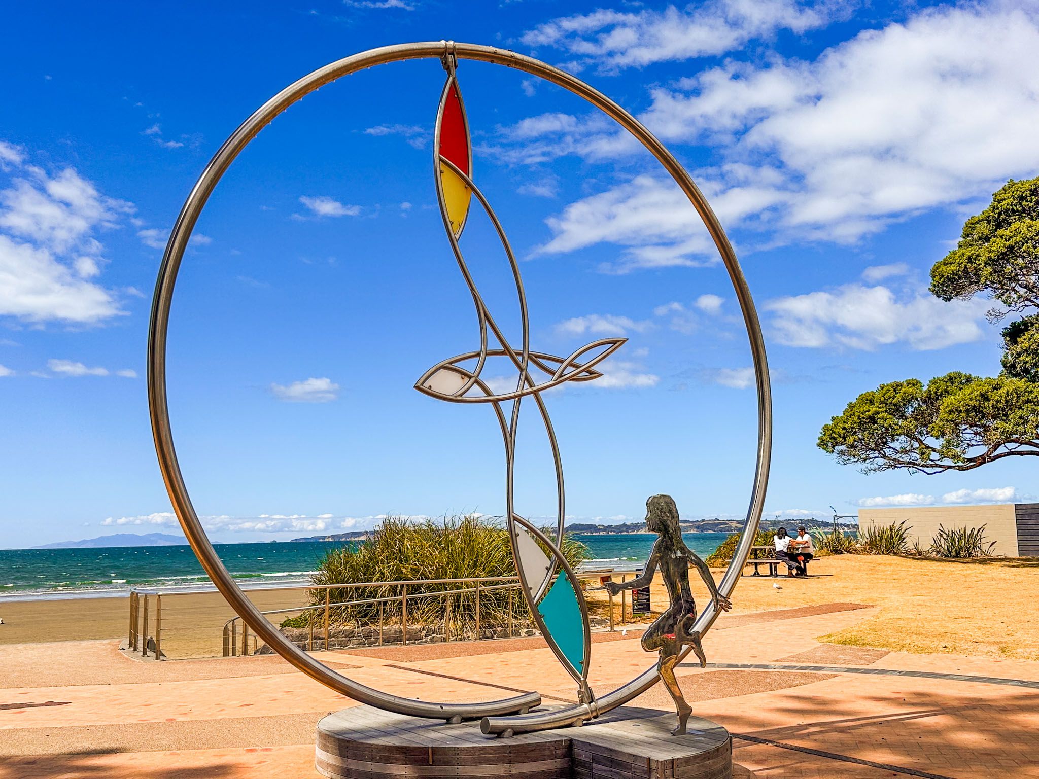
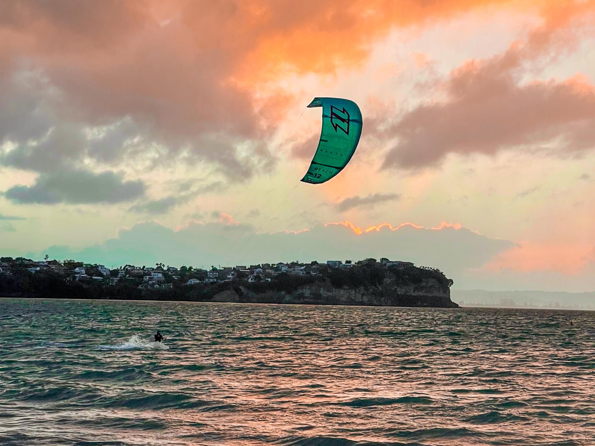
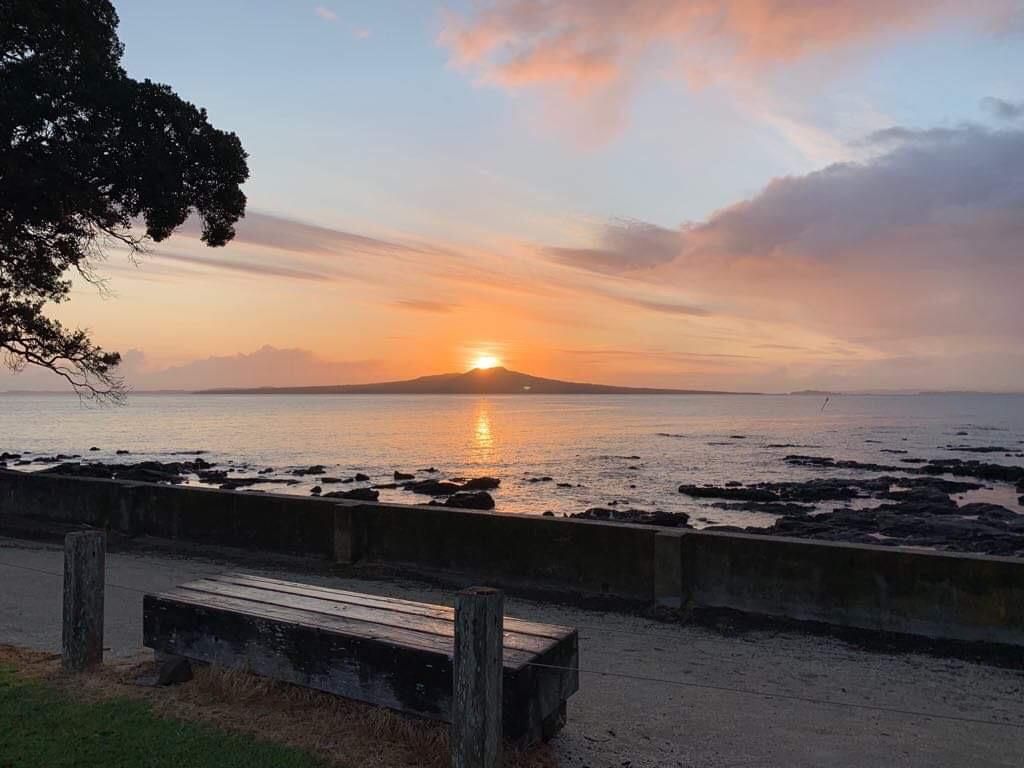
Starting at Western Reserve, near the Estuary Arts Centre and a café, the path provides picturesque views of the estuary, especially on clear days. Along the way, Māori carvings highlight the area's historical significance as a traditional food-gathering site. Despite its proximity to suburban areas, the path is rich in birdlife and frequented by paddleboarders and kite surfers. As you pass through the suburb of Millwater, you'll find several cafés to enjoy.
Activities and Nearby Attractions
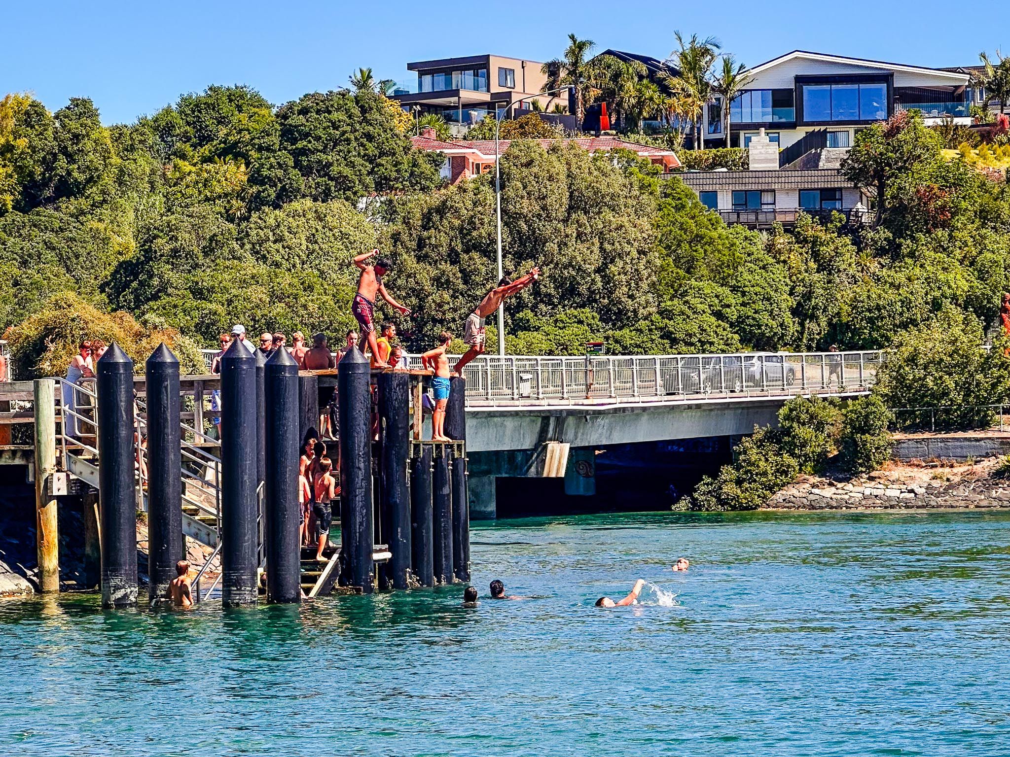
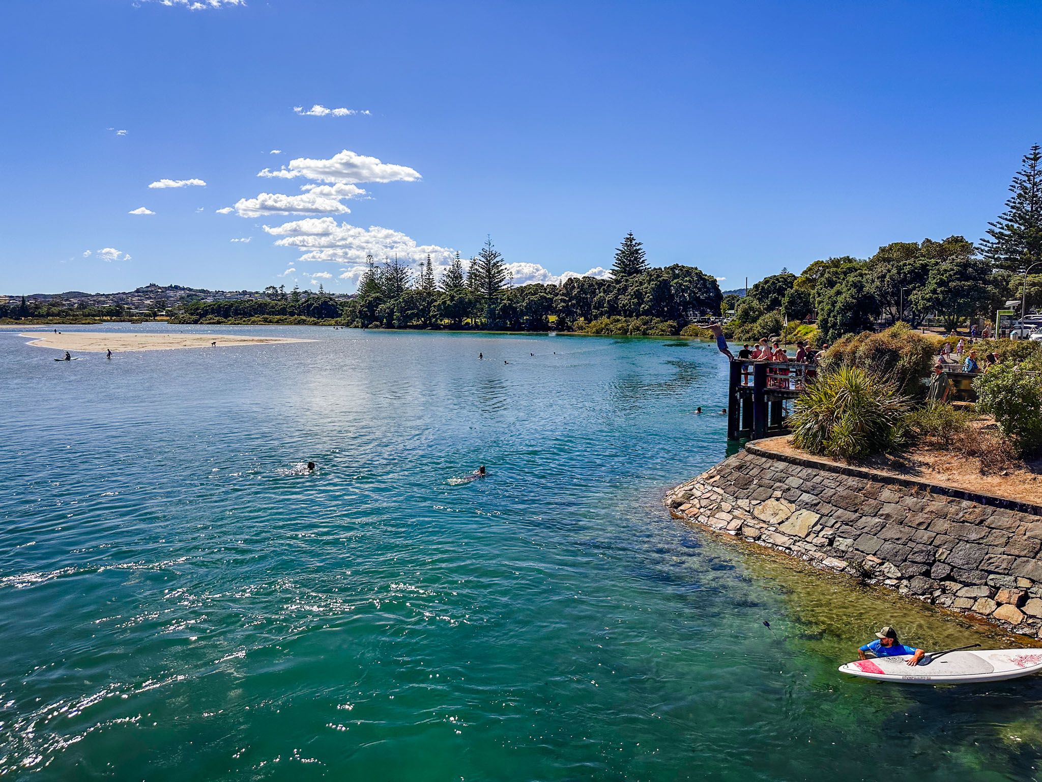
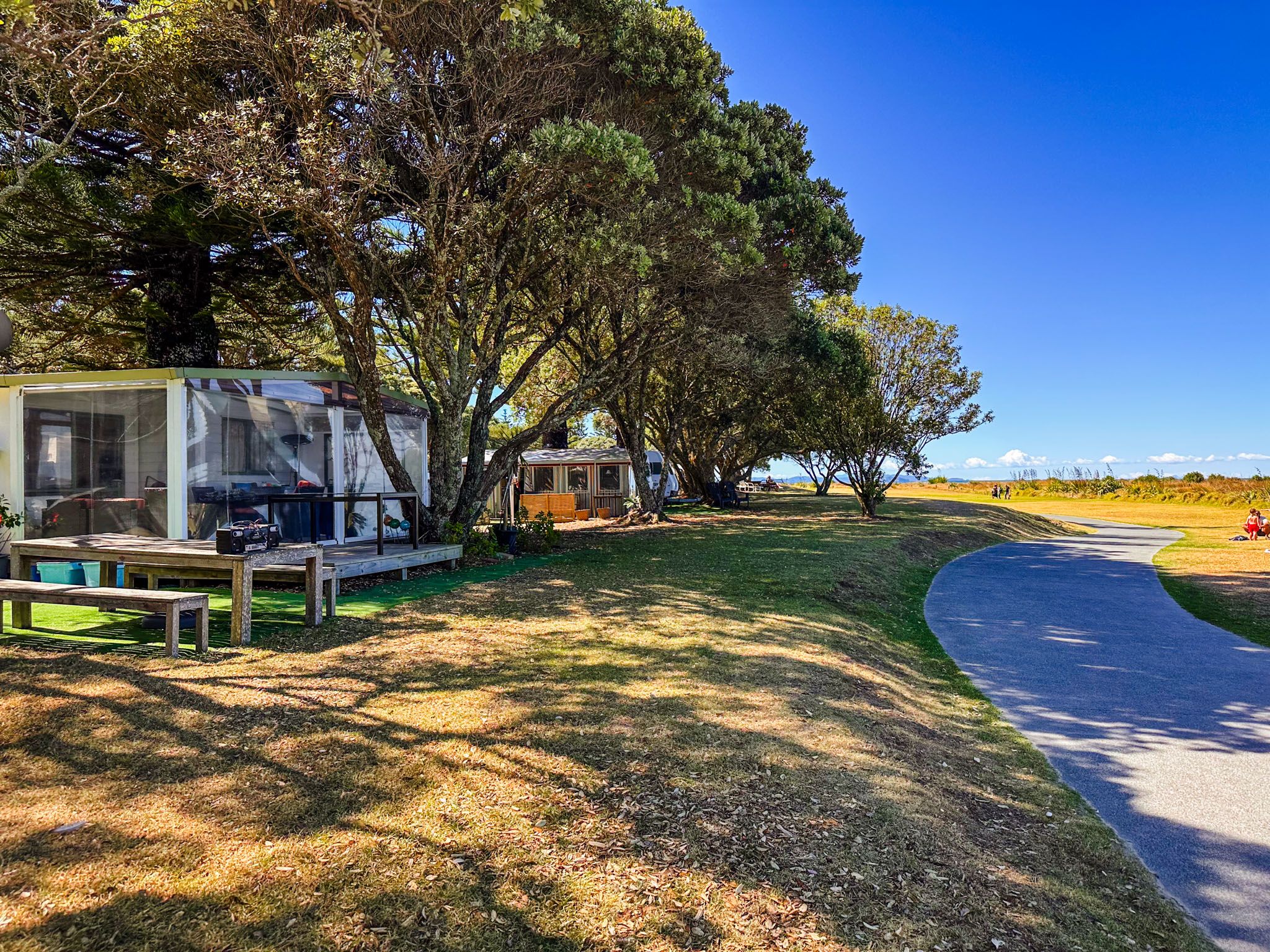
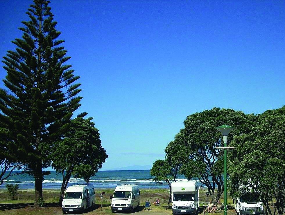
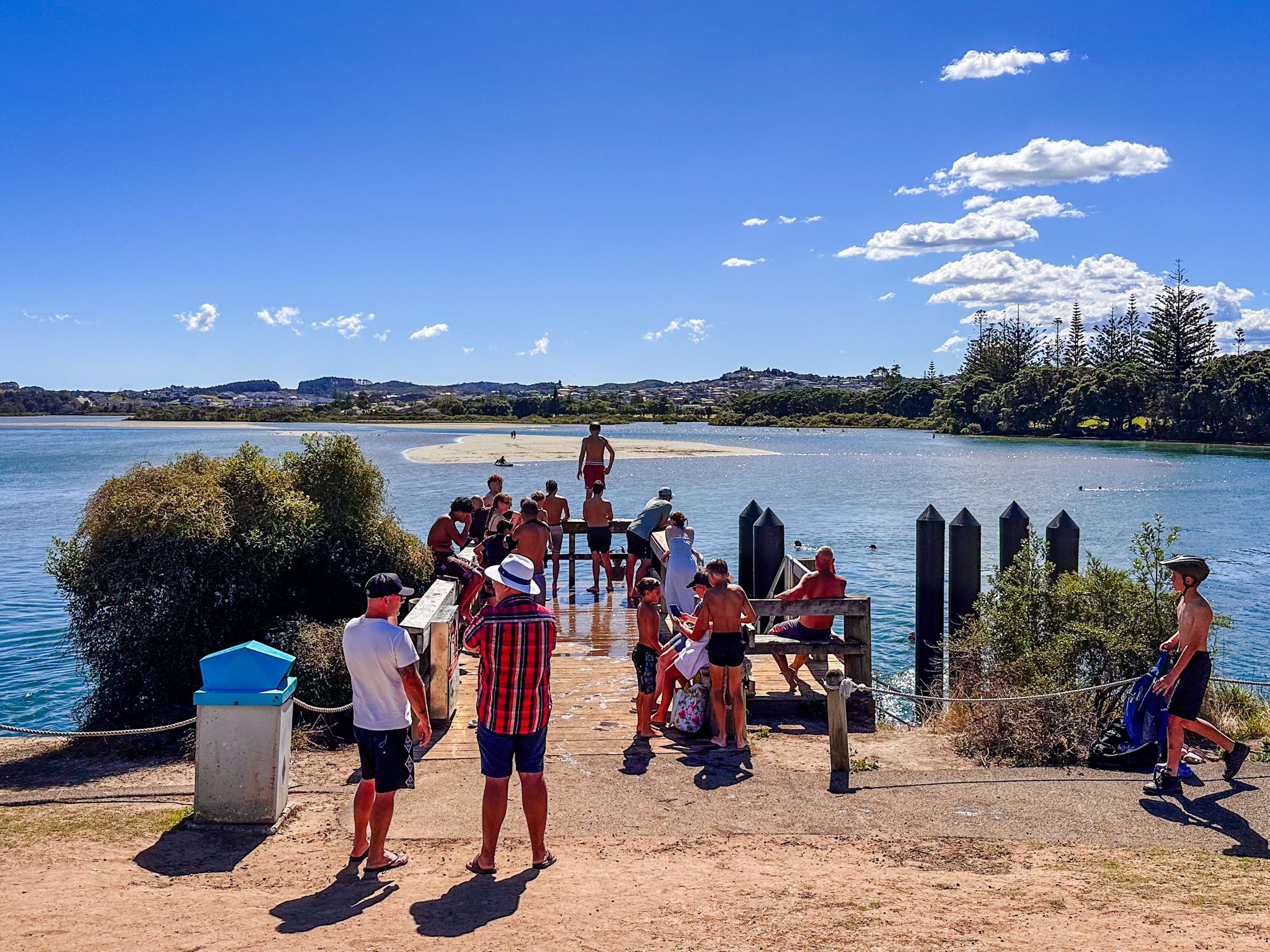
After completing the loop, if the tide is in, you might want to jump off the small pier next to the Ōrewa River bridge. Alternatively, cross the road to follow the path between the campground and the river mouth to reach the beach. The town centre, with its cafés and shops, is also just a short distance away.
Getting to Te Ara Tahuna Pathway
To reach Te Ara Tahuna Pathway from Downtown Auckland, take the northern motorway to the Silverdale off-ramp. Continue for 15 minutes along the Twin Coast Discovery Highway, crossing the Ōrewa River Bridge. The start of the track and parking are on the left. The drive takes 43 minutes and is 41 km.
Nearby, you can explore the Alice Eaves Reserve and visit Red Beach, Stanmore Bay and Big Manly Beach.