Discover Ōrewa
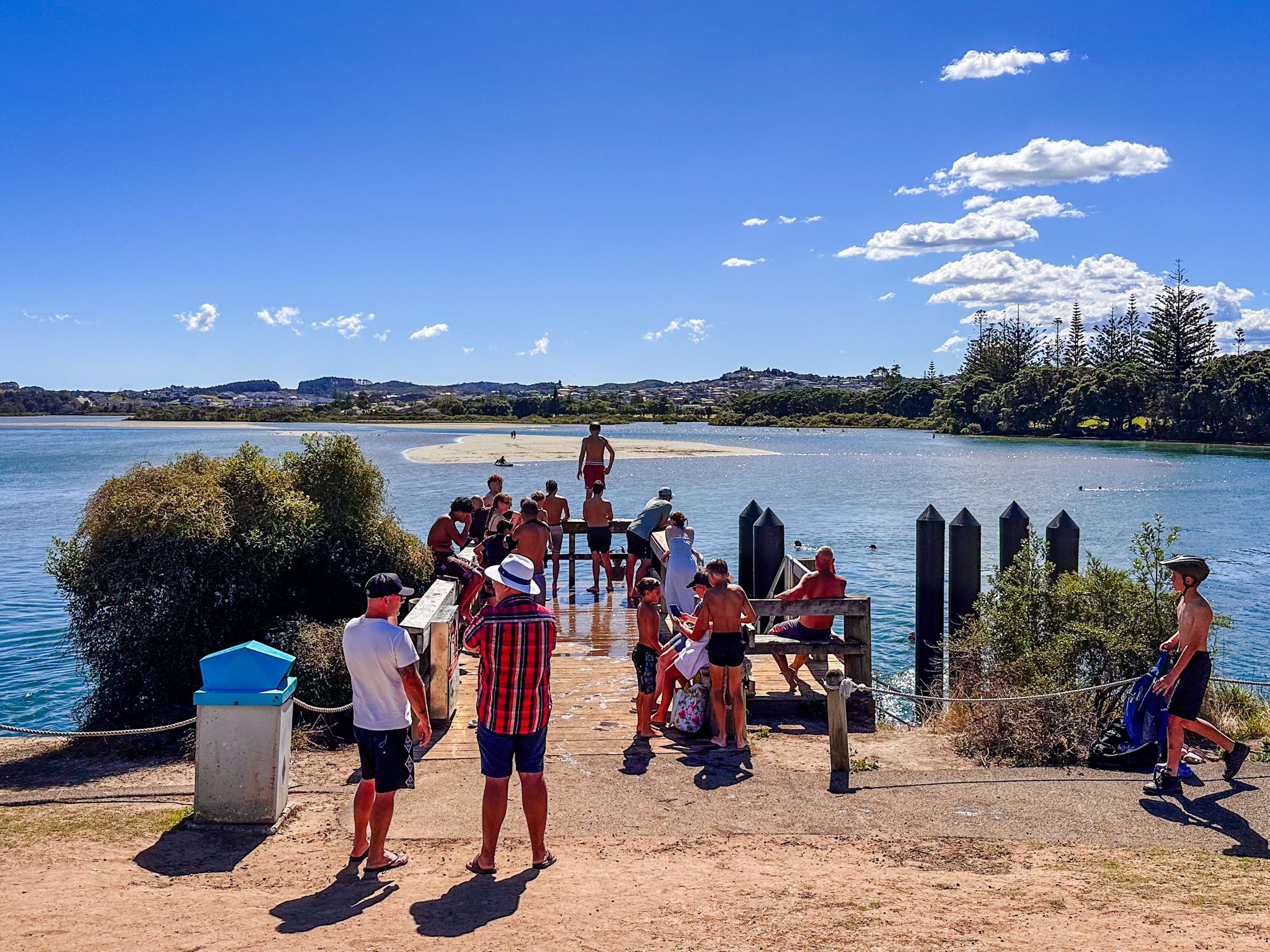
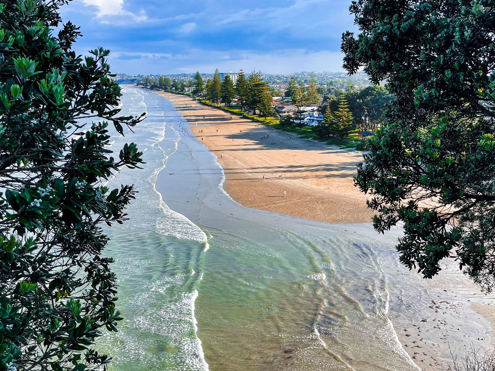
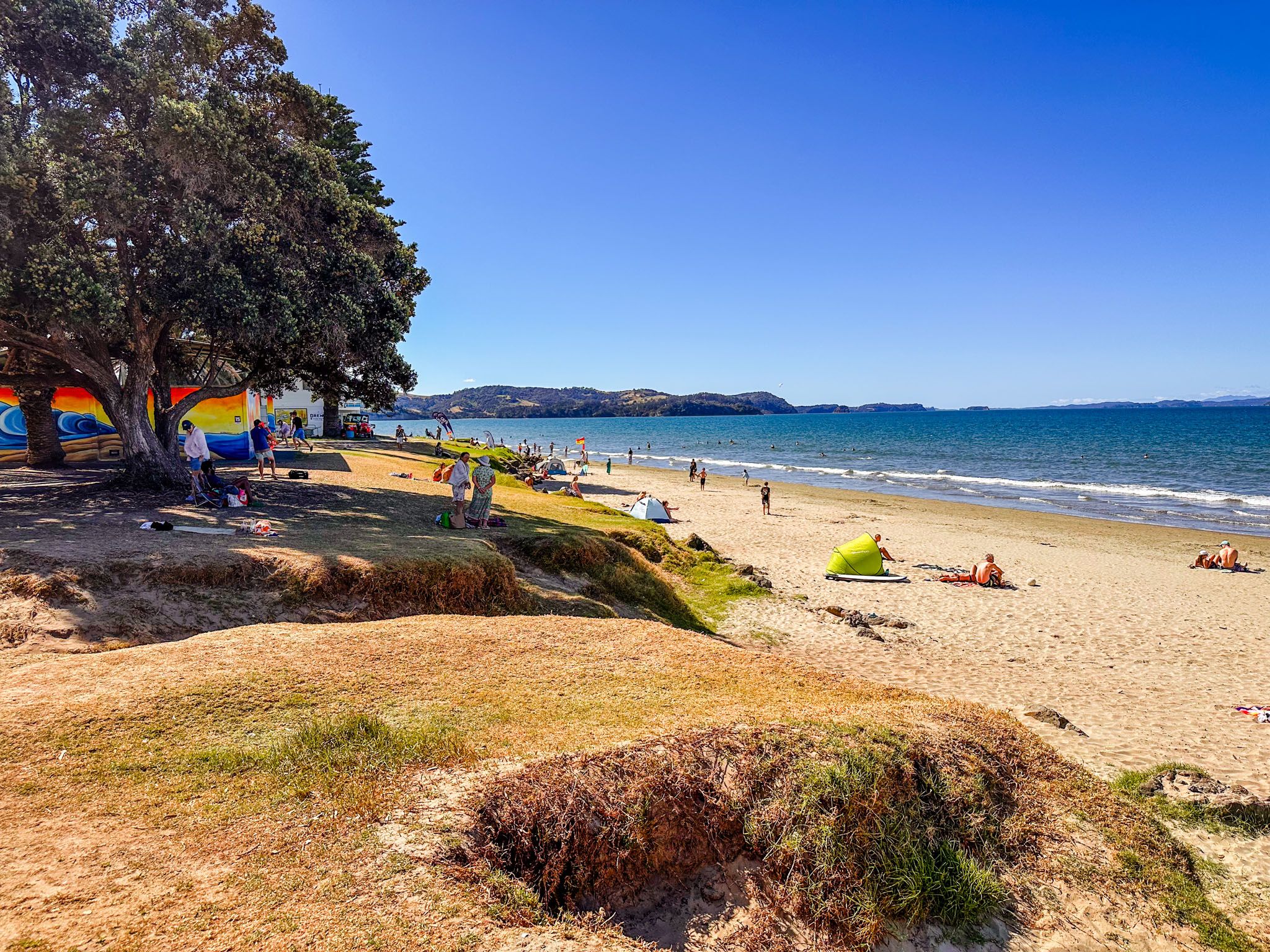
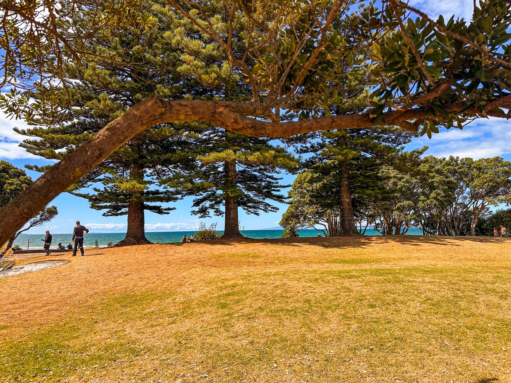
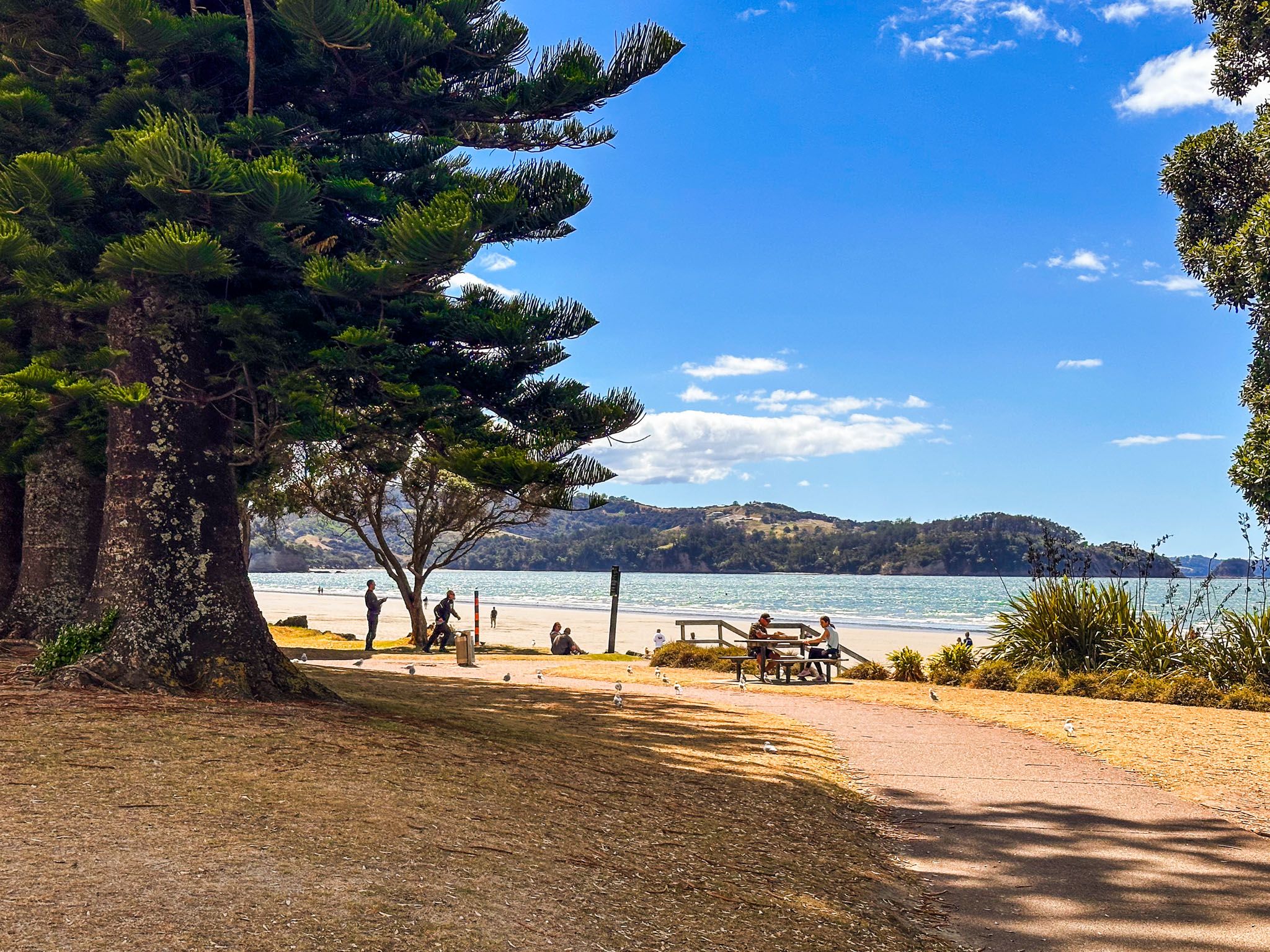
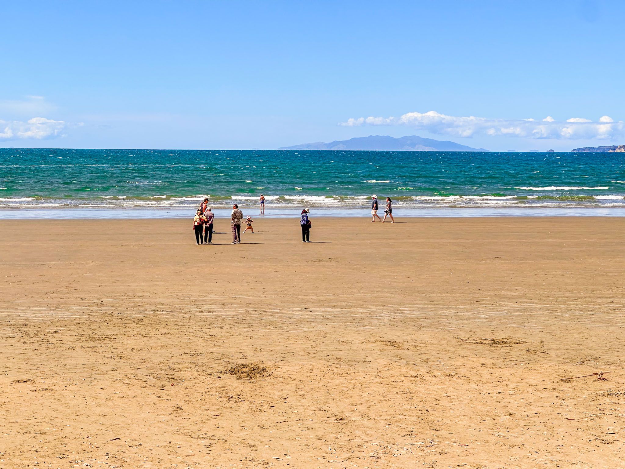
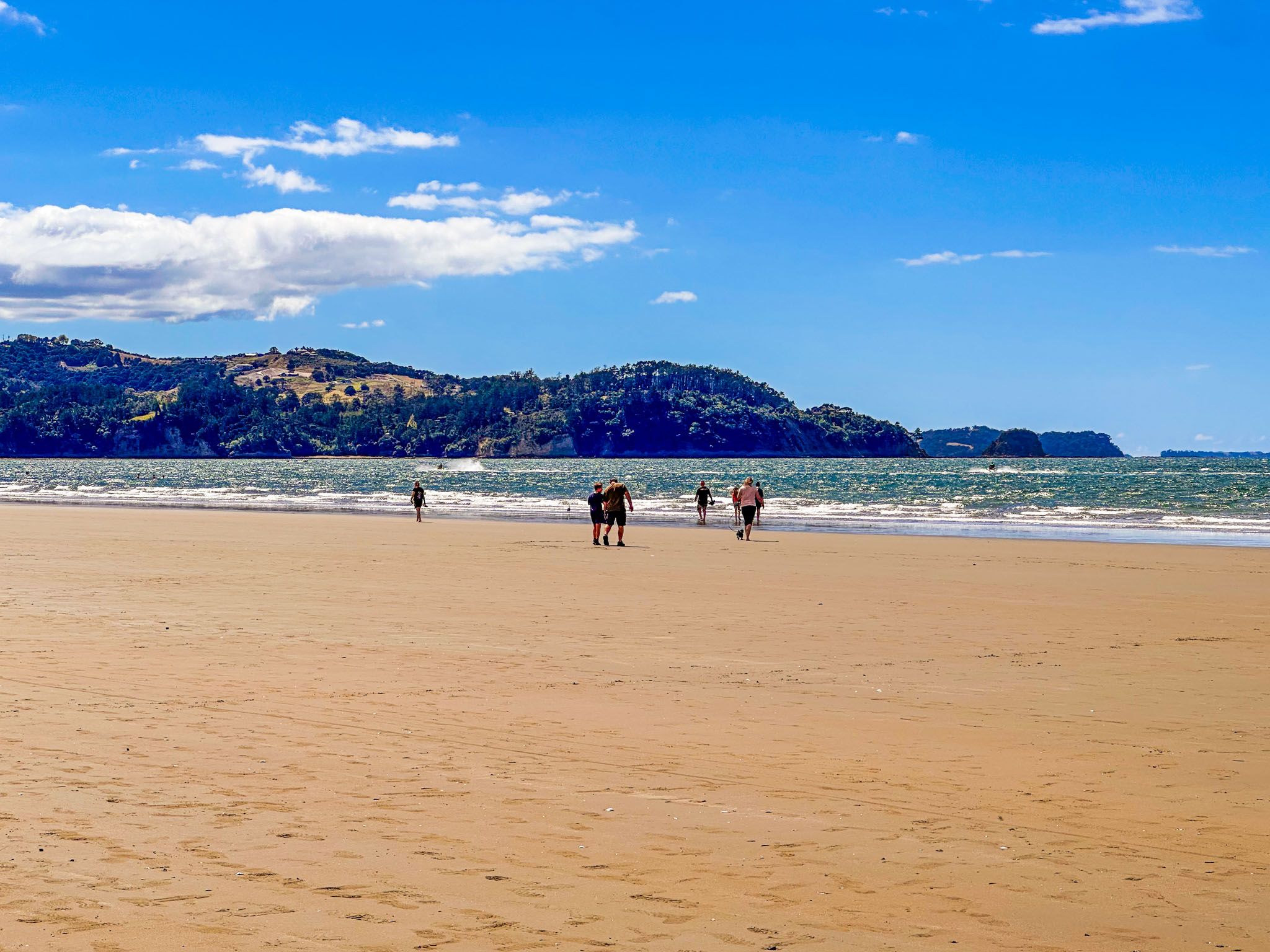
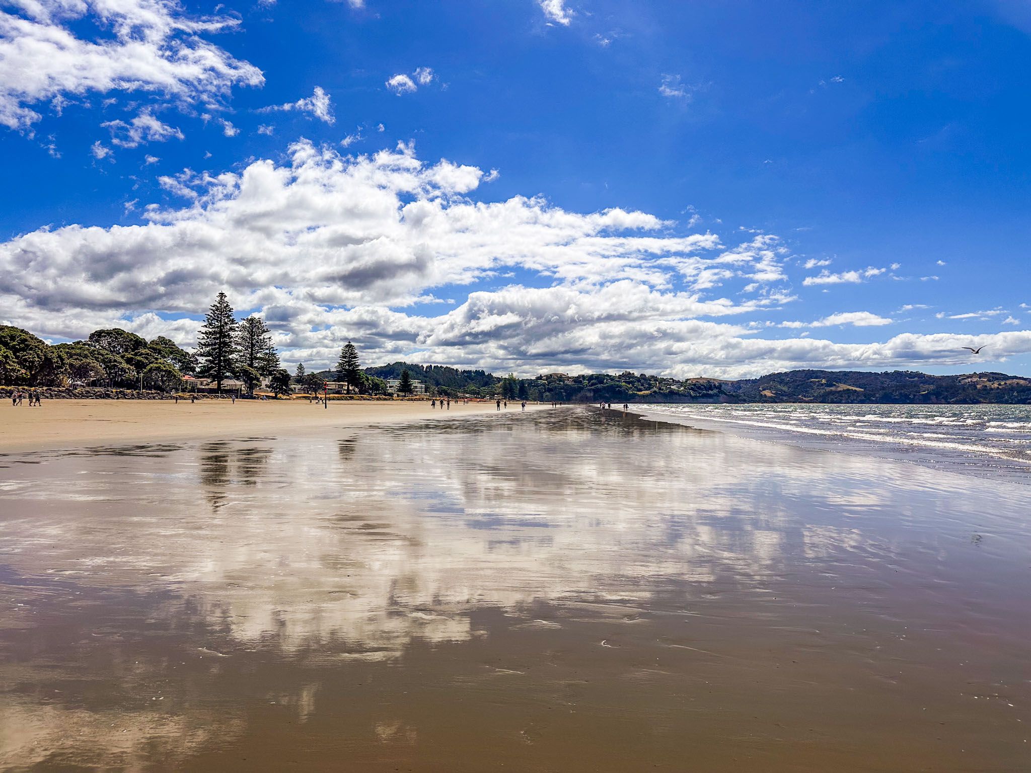
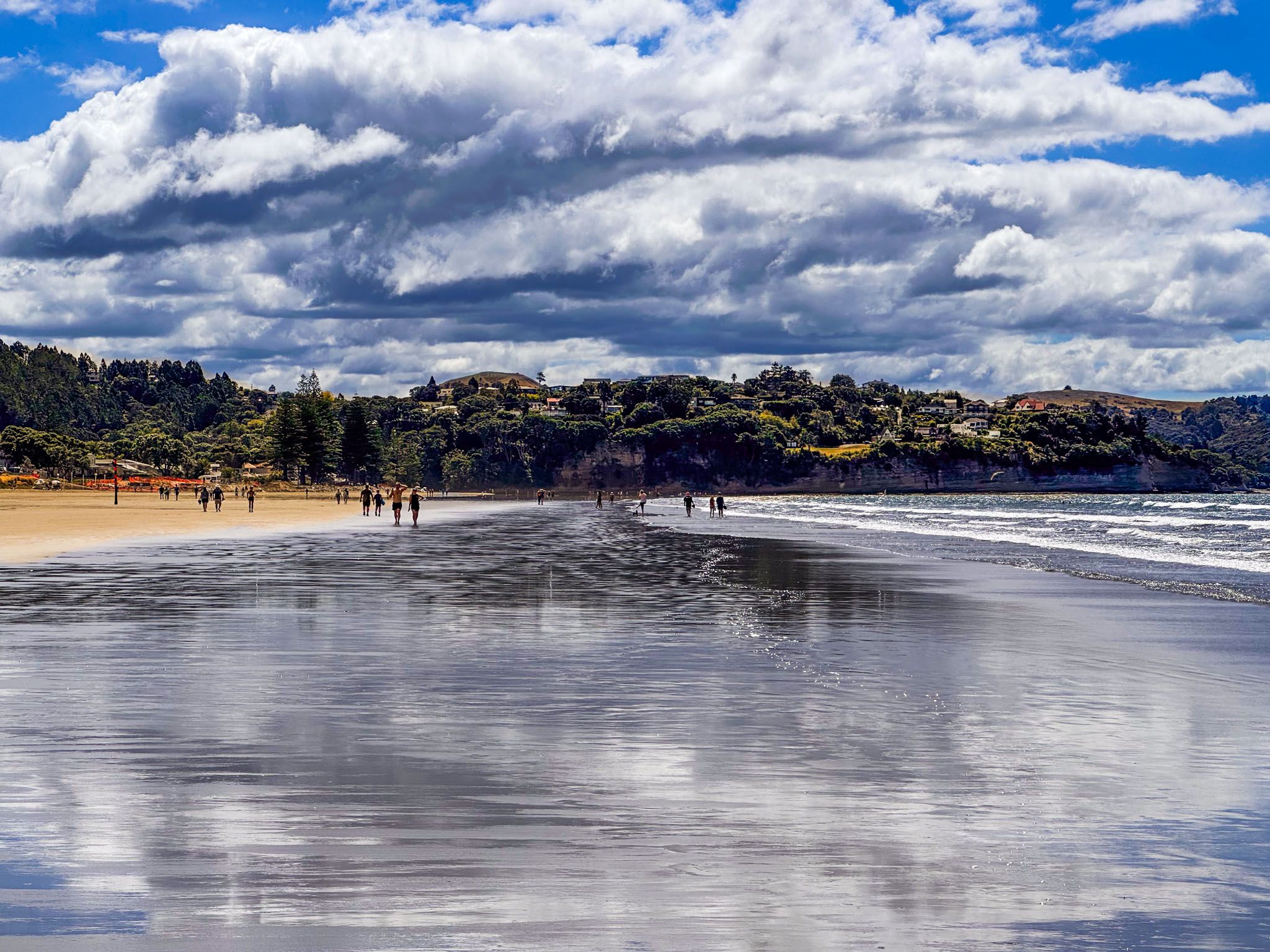
Ōrewa is a vibrant coastal town located at the southern end of Whangaparāoa Bay, on the Hibiscus Coast of Auckland. Known for its expansive 3 km beach, Ōrewa is a popular destination for swimmers, walkers, and surfers. The beach, part of Te Araroa, stretches along the town's eastern edge, making it one of the longest beaches on the Hauraki Gulf. At its southern end, the beach meets the Ōrewa River estuary, while the northern end reaches the Alice Eaves Scenic Reserve and the Nukumea Stream.
Exploring the Surrounding Area
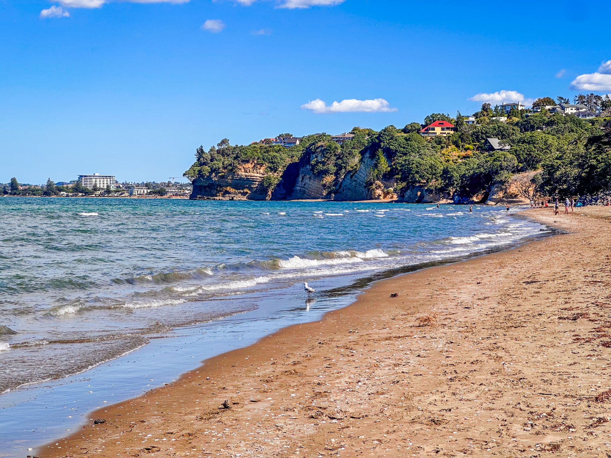
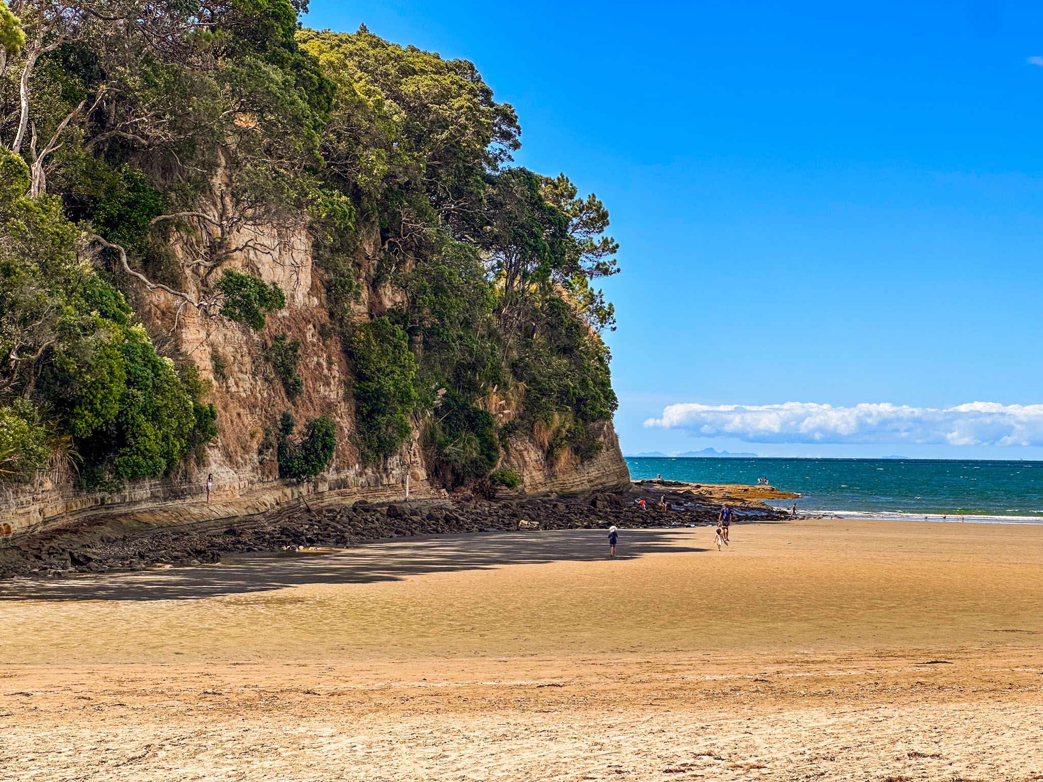
To the north of Ōrewa, Hatfields Beach is separated by a cliff-bound headland. A clifftop viewpoint on the Twin Coast Discovery Highway provides sweeping views of the bay and coastline. Southward, you'll find Red Beach and the Whangaparāoa Peninsula.
Ōrewa's Rich History
Tāmaki Māori occupied the area from the 1300s. Traditionally known as Mahurangi, the region between the Ōrewa and Mahurangi Rivers was a hub of activity due to its rich seafood resources and easy inland access. The Ōrewa River was part of a portage route, Aotoetoe, linking it to the Kaukapakapa River and Kaipara Harbour, facilitating waka crossings between coasts.
The name Ōrewa likely derives from Te Wai-o-Rewa, meaning the Waters of Rewa, in reference to a Kawerau rangatira. In the 1600s, Maki migrated from Kāwhia, unifying Tāmaki Māori and establishing Te Kawerau ā Maki iwi. His son Maraeariki settled near the Ōrewa River, and his descendants, including the hapū Ngāti Kahu and Ngāti Maraeariki, maintained strong ties to the area. The small island near the mouth of the Ōrewa River, Te Motu-o-Marae Ariki (also known as Crocodile Island), is named for Maraeariki.
In the 1700s, Ngāti Pāoa from the Marutūāhu Confederation also fished in the bay, leading to conflicts and shared rights, particularly concerning the prized shark fishery. Known pā sites in Ōrewa include Nukuhau Pā at the northern end and Ōrewa South Bridge Pā at the estuary mouth.
European Influence and Development
In 1821, during the Musket Wars, a Ngāpuhi taua attacked the area, causing many survivors to flee south. They returned in the 1830s to re-establish seasonal settlements. European logging and kauri gum digging began around the 1830s, especially near the Weiti River. In the early 1840s, the New Zealand government improperly acquired Ōrewa through the Mahurangi Purchase. Although compensation in the 1850s restored substantial areas around Mahurangi and Tāwharanui to local hapū, the area around Ōrewa was retained and sold to European settlers.
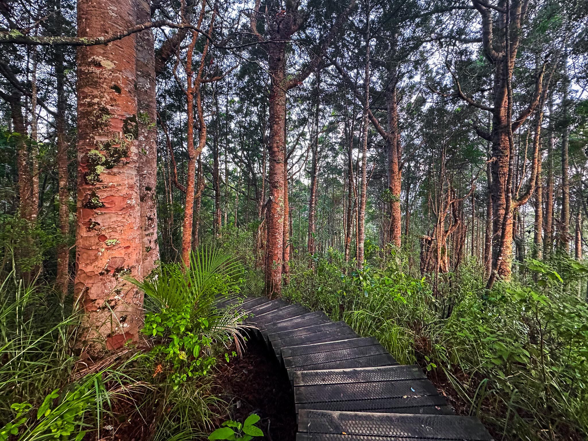
A cottage named Ōrewa House was built near the north end of the beach by the Nukumea Stream. Owned by Isaac Cooper in the 1860s and later by the de Jersey Grut family, it eventually passed to Alice and Edward Eaves in the 1900s. The town developed south along the beach, while Alice Eaves’s conservation efforts preserved the most significant surviving block of native forest in the region at the north end. Today, this is protected by the Alice Eaves Scenic Reserve and includes the 800-year-old Hollow Kauri.
Modern Ōrewa
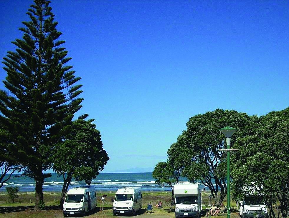
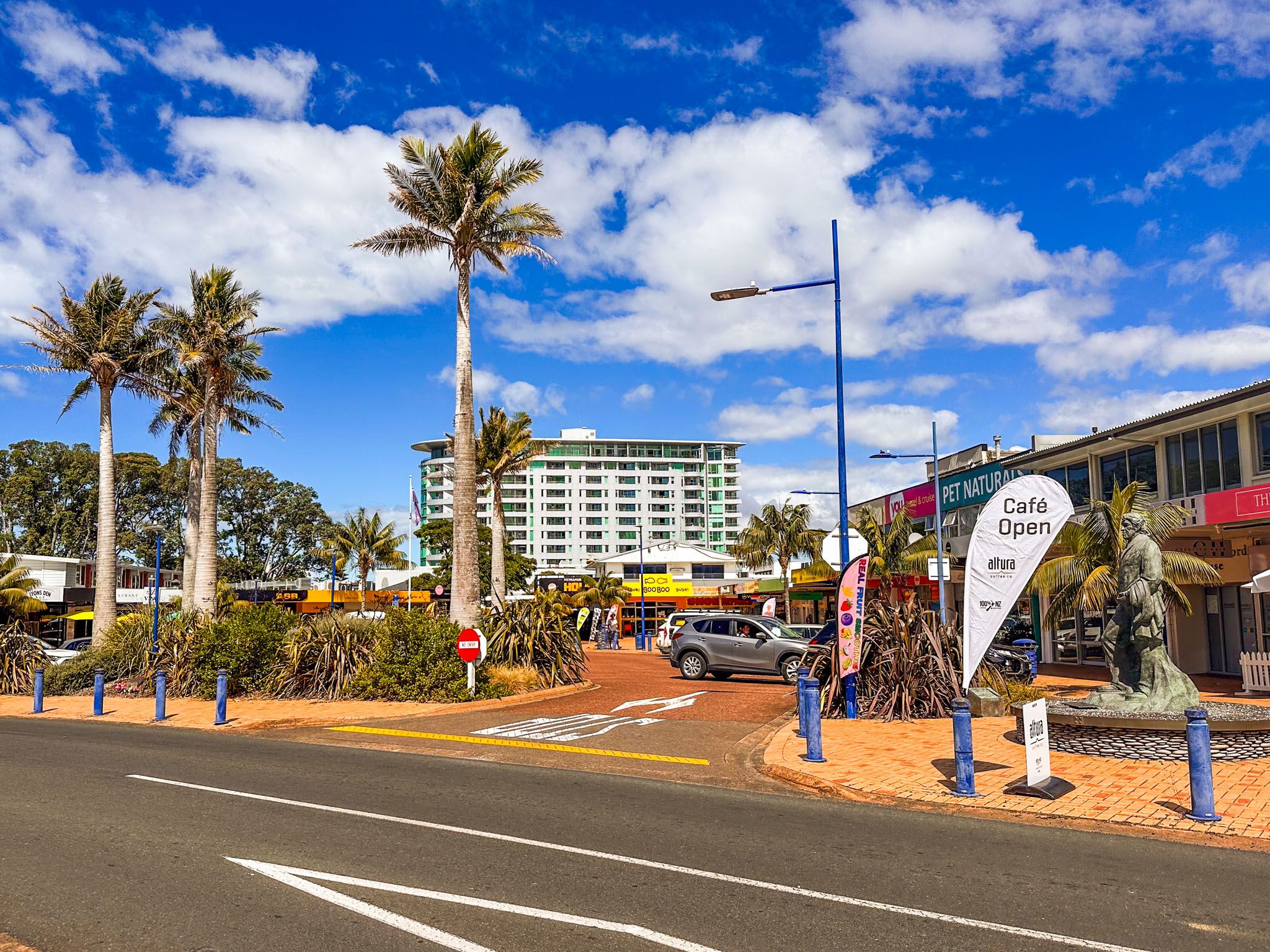
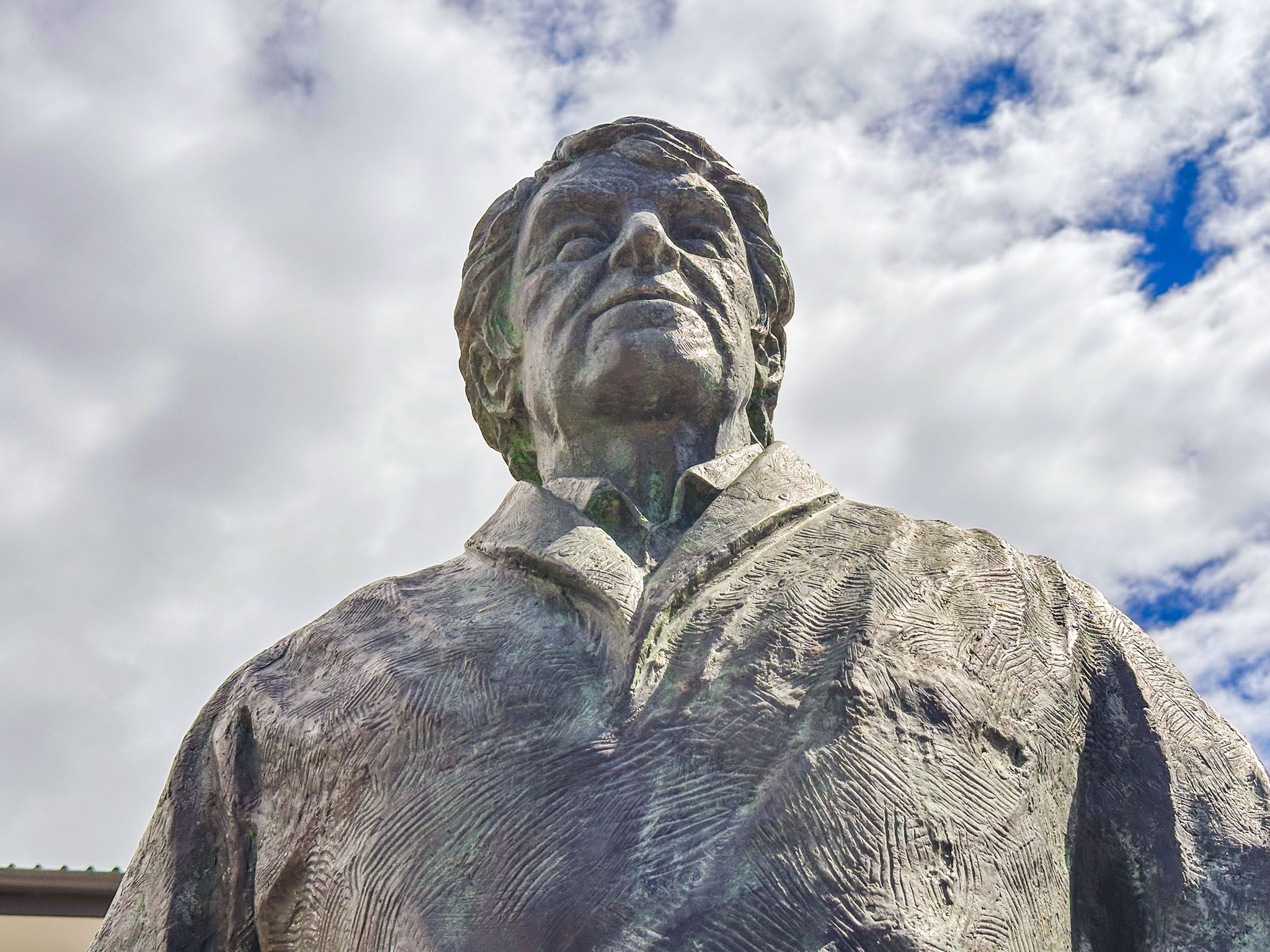
Ōrewa became a popular holiday destination in the 1920s and expanded rapidly in the 1950s and 60s after the Auckland Harbour Bridge opened. The town centre developed around Hillary Square, named after Sir Edmund Hillary and featuring a commemorative statue.
Ōrewa's long, flat beach is perfect for swimming, paddleboarding, and beach walks. Te Araroa follows the coast from Waiwera, then runs along the beach, connecting with Te Ara Tahuna Pathway around the Ōrewa River estuary at the south end.
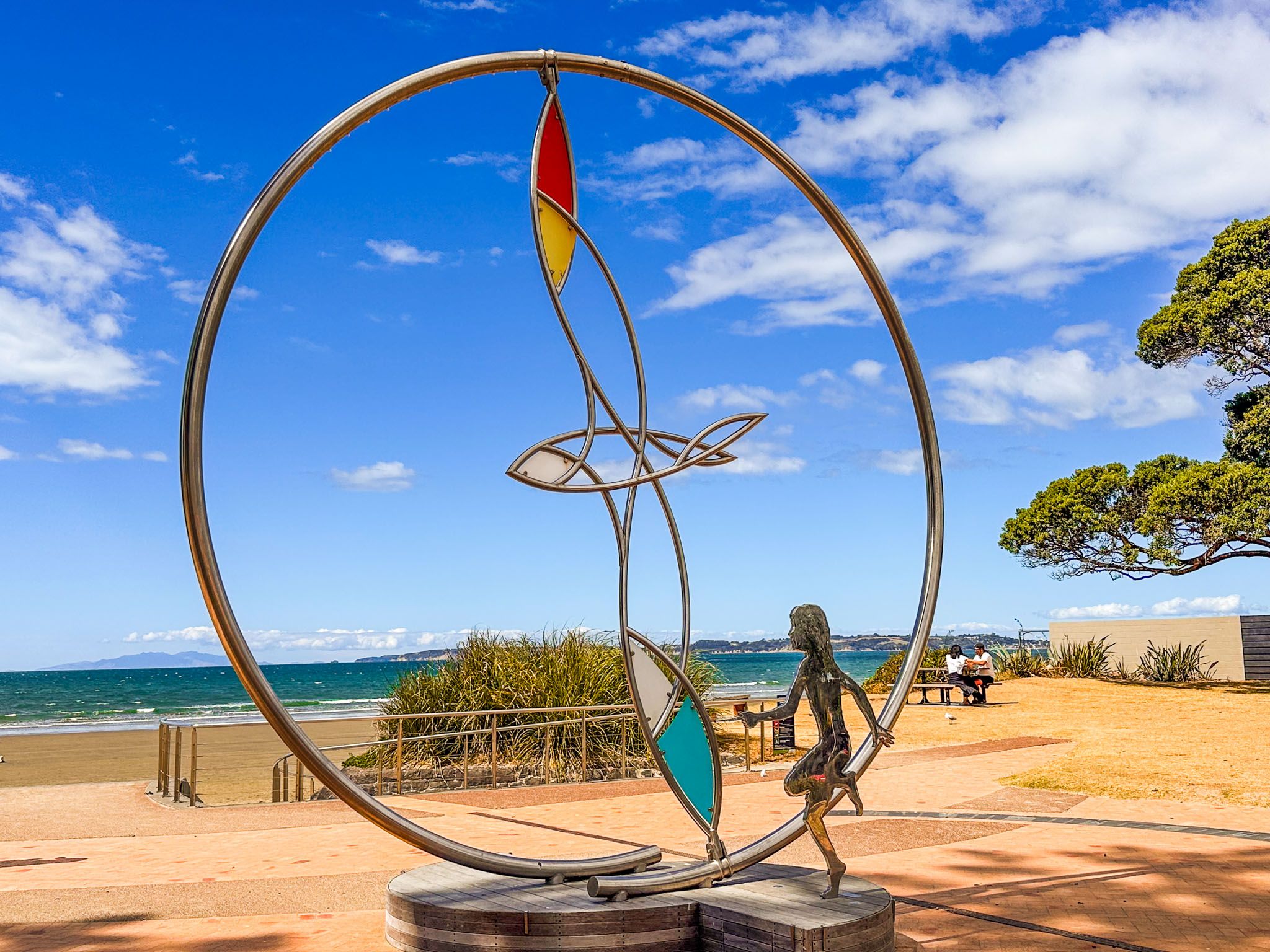
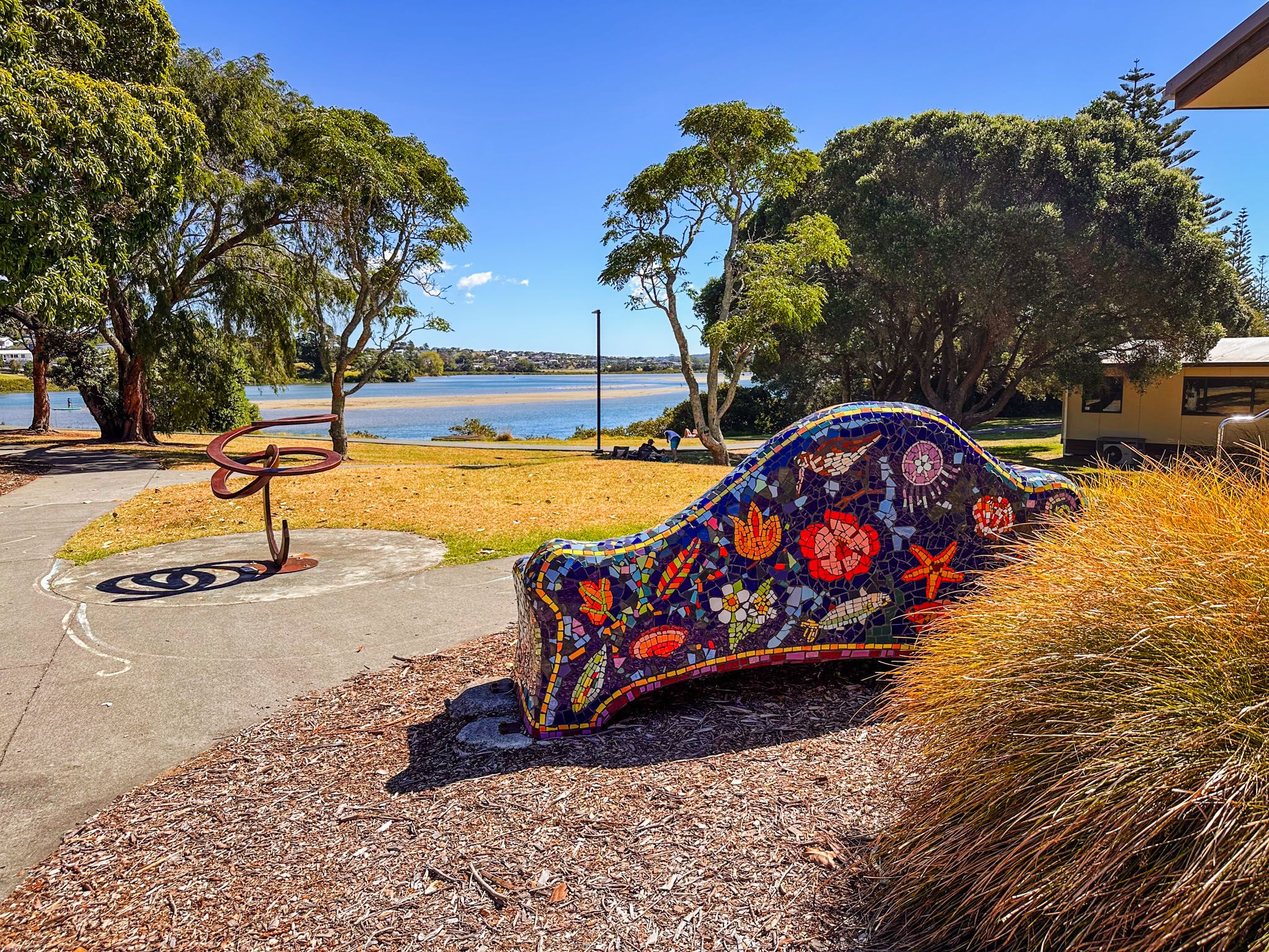
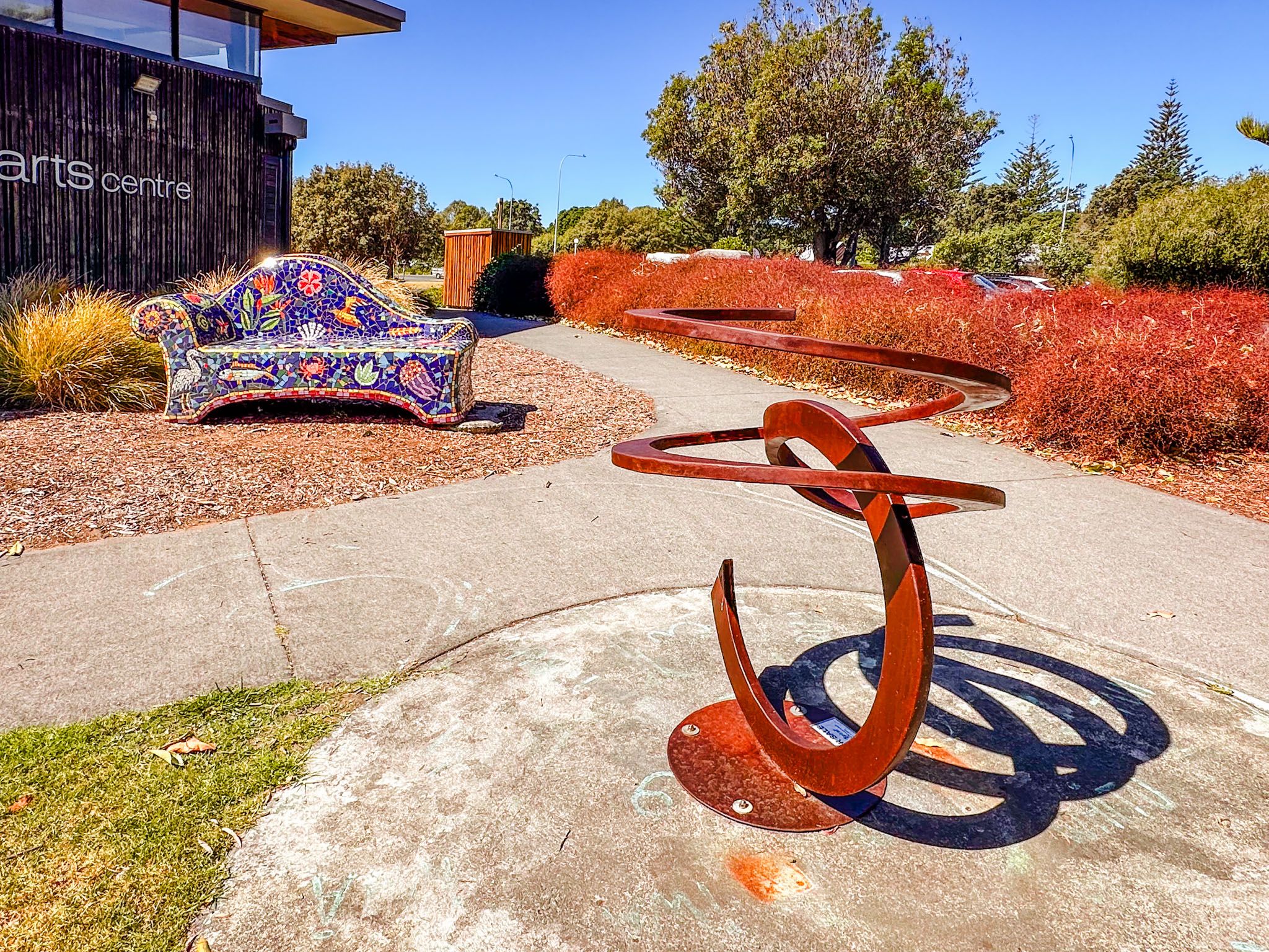
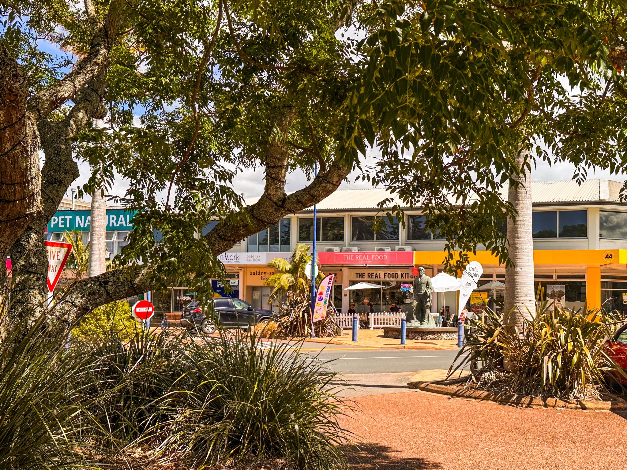
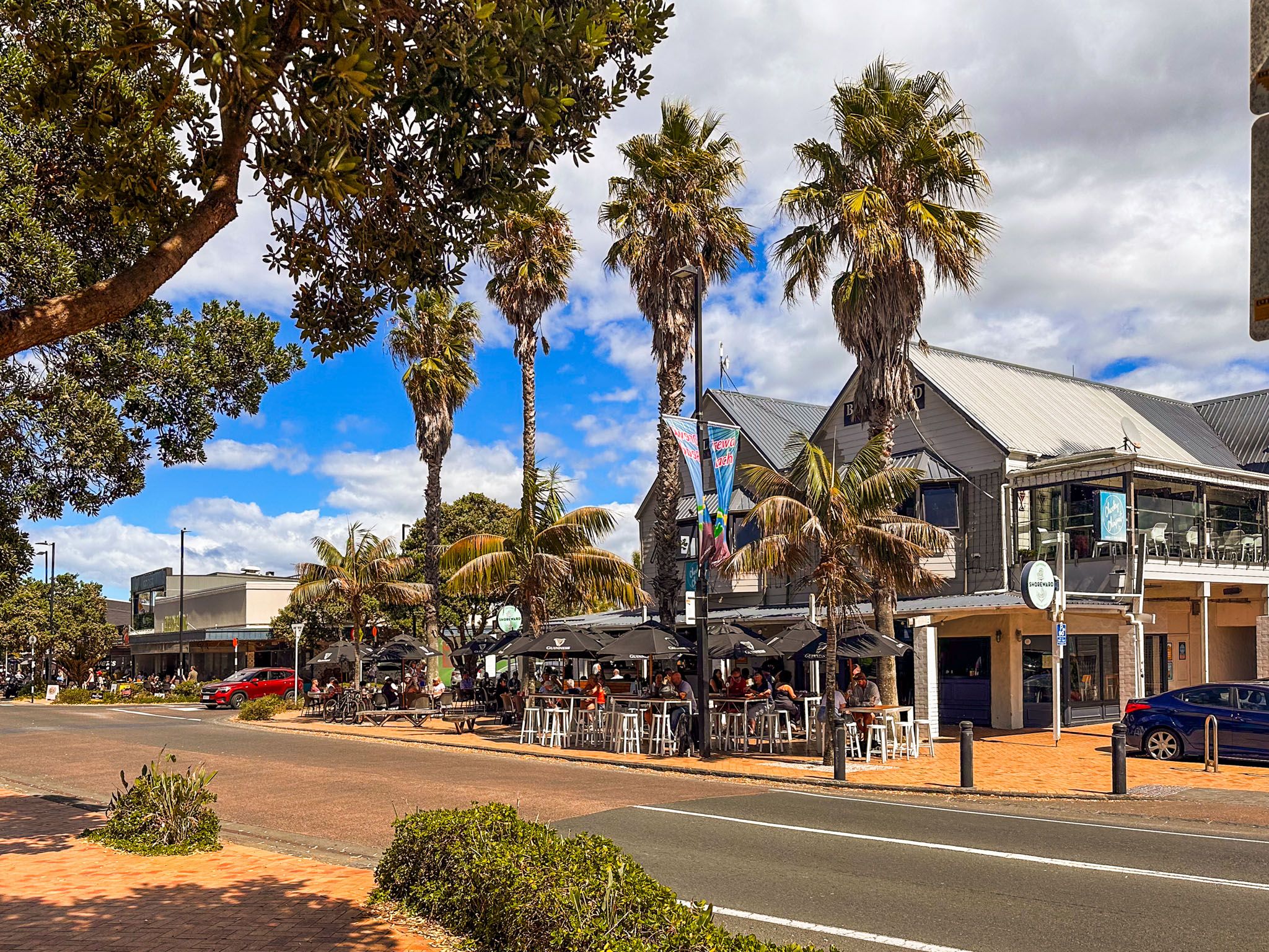
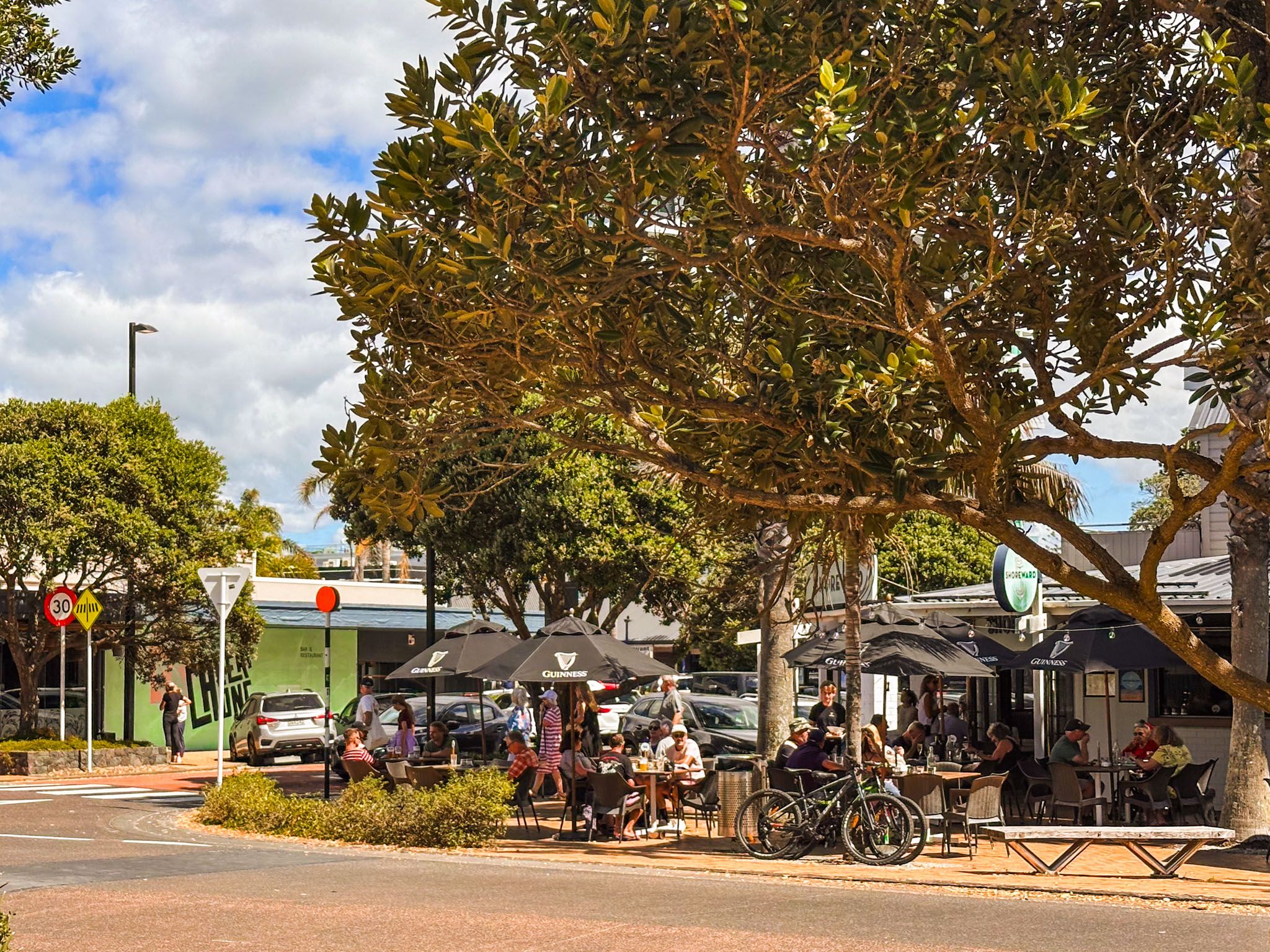
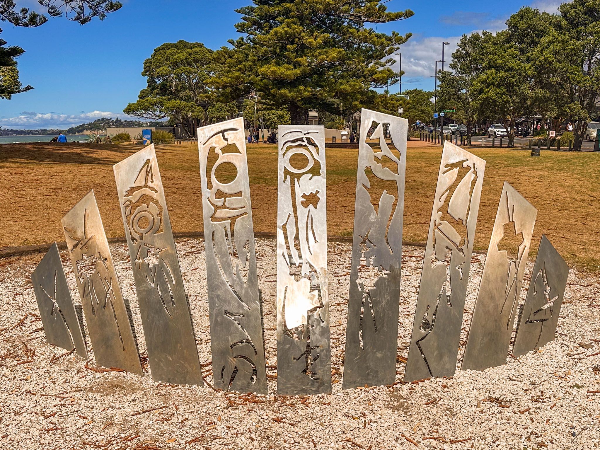
The Twin Coast Discovery Highway separates the beach reserve from the town centre, where you'll find cafes, restaurants, and shops. Don't miss Airborne, a striking outdoor statue by Philipp Ripa and John Mulholland at the main beach entrance opposite the town centre. Public beach access and parking are available, though it can be busy on sunny weekends and during the summer holidays.
Getting to Ōrewa
From Downtown Auckland, take the Northern Motorway to the Silverdale off-ramp, then continue for 15 minutes along the Twin Coast Discovery Highway. For quicker access, exit at Grand Drive and drive directly into the town centre.
To the south, you can explore the scenic Whangaparāoa Peninsula, with Stanmore Bay, Big Manly Beach and Skakespear Regional Park. To the north are Waiwera, Puhoi and Wenderholm Regional Park.