Exploring Auckland’s Hibiscus Coast
Located along the northeast edge of Auckland, the Hibiscus Coast is a captivating blend of beach culture, family-friendly suburbs, and natural beauty, all set against the backdrop of the Hauraki Gulf. This coastal stretch extends from the Whangaparāoa Peninsula in the southeast to Wenderholm and Puhoi in the north. As you travel north, the Hibiscus Coast transitions into the Matakana Coast near Mahurangi and Warkworth.
A Coastline of Beaches and Bays
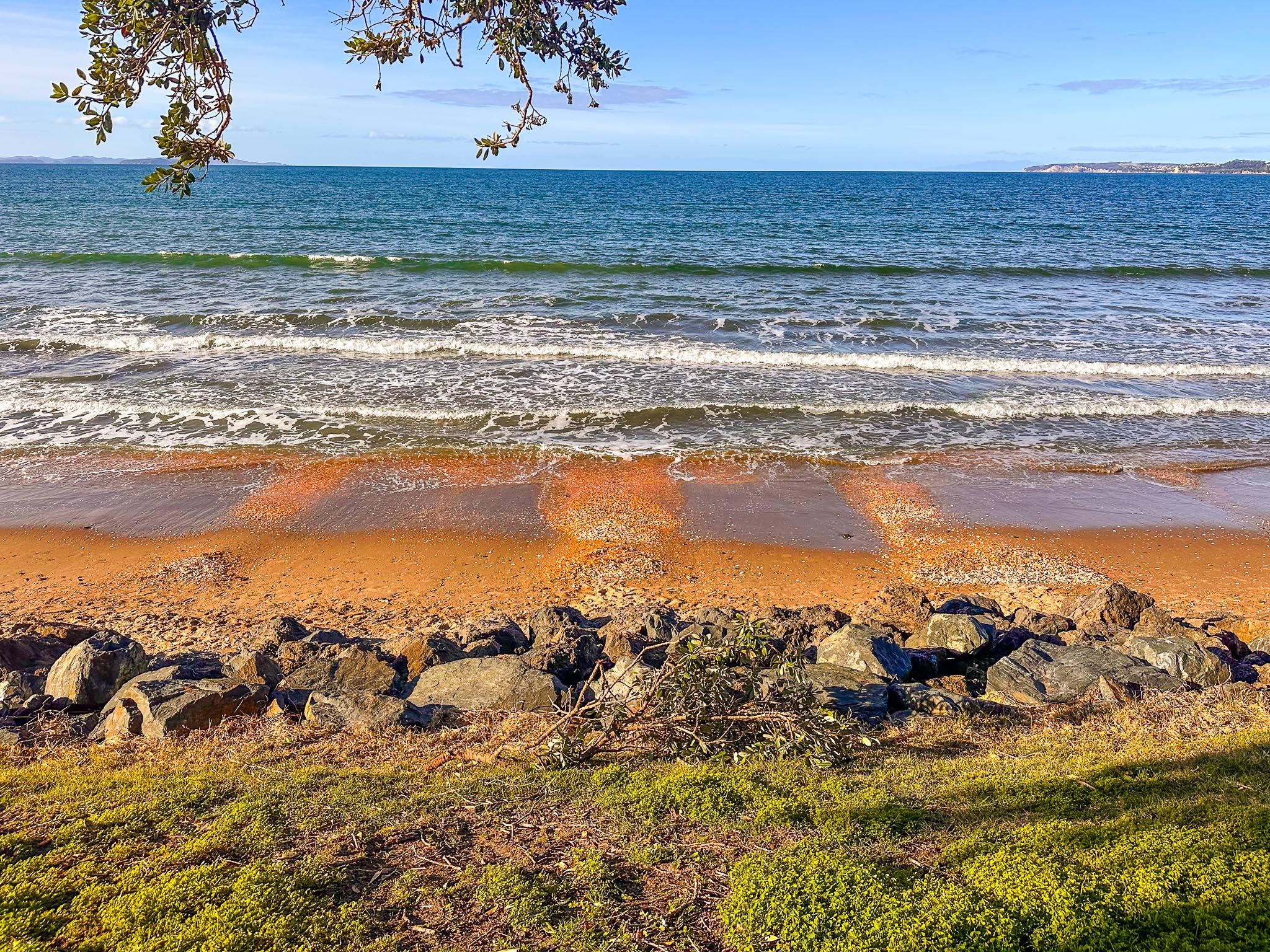
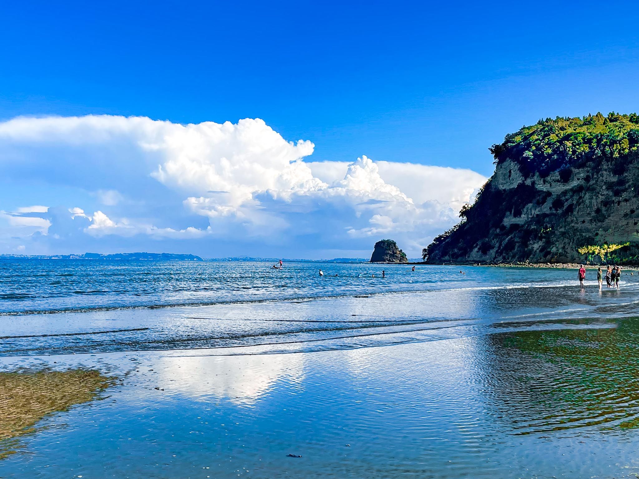
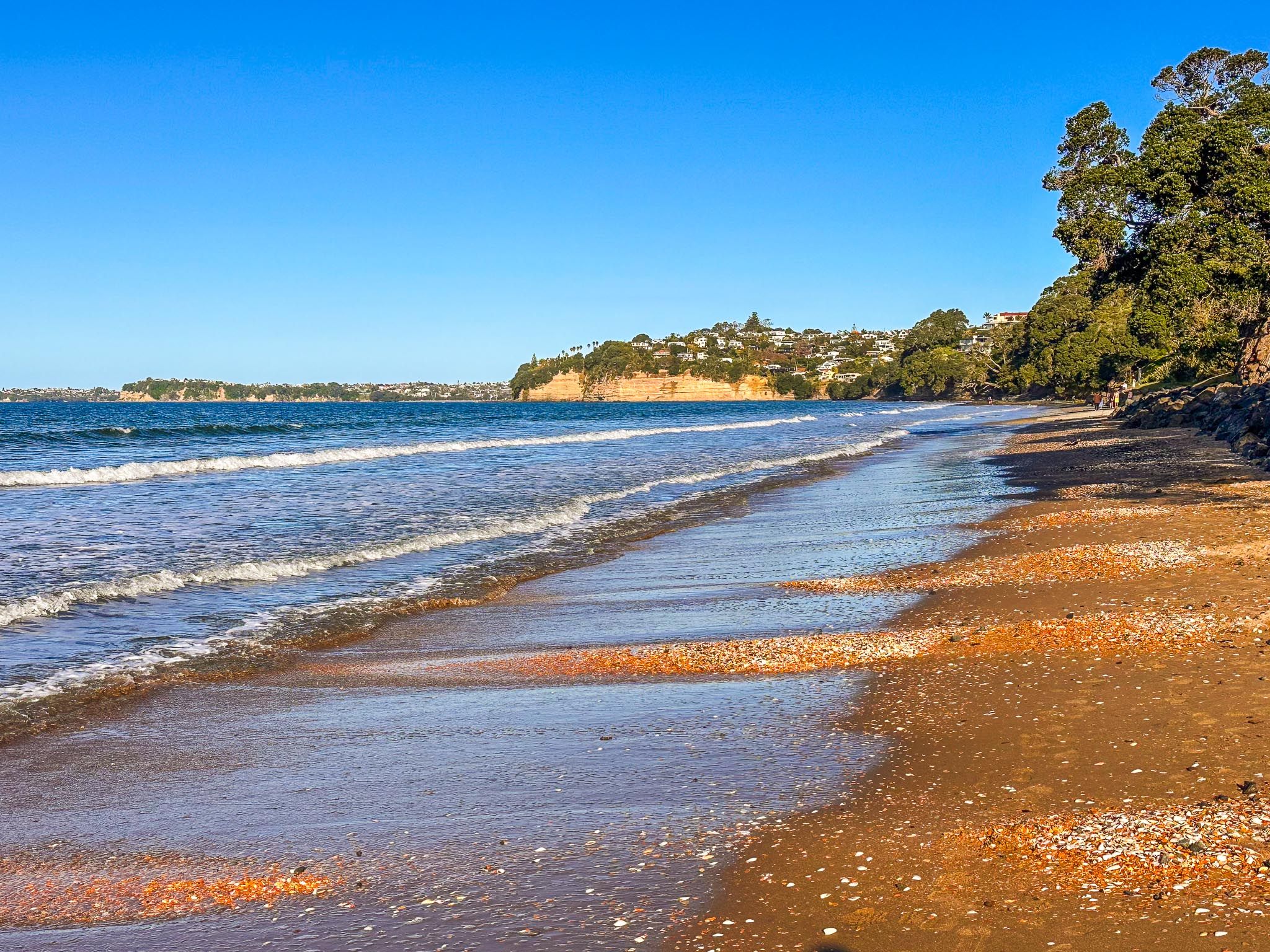
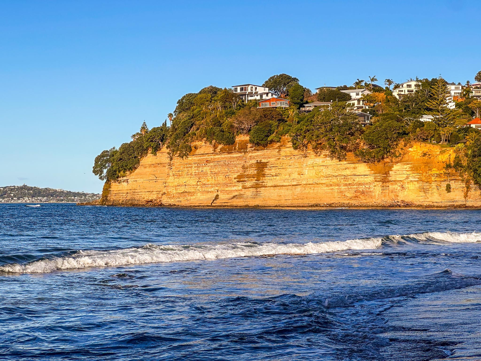
The journey along the Hibiscus Coast begins at Silverdale. You can either continue up the coast on the Twin Coast Discovery Highway or head east onto the Whangaparāoa Peninsula. The first major stop is Red Beach, known for its reddish-toned cliffs, vibrant orange to red sand, and a well-established surf lifesaving club. This beach is a favourite for swimming, surfing, sunbathing, and exploring rock pools at low tide.
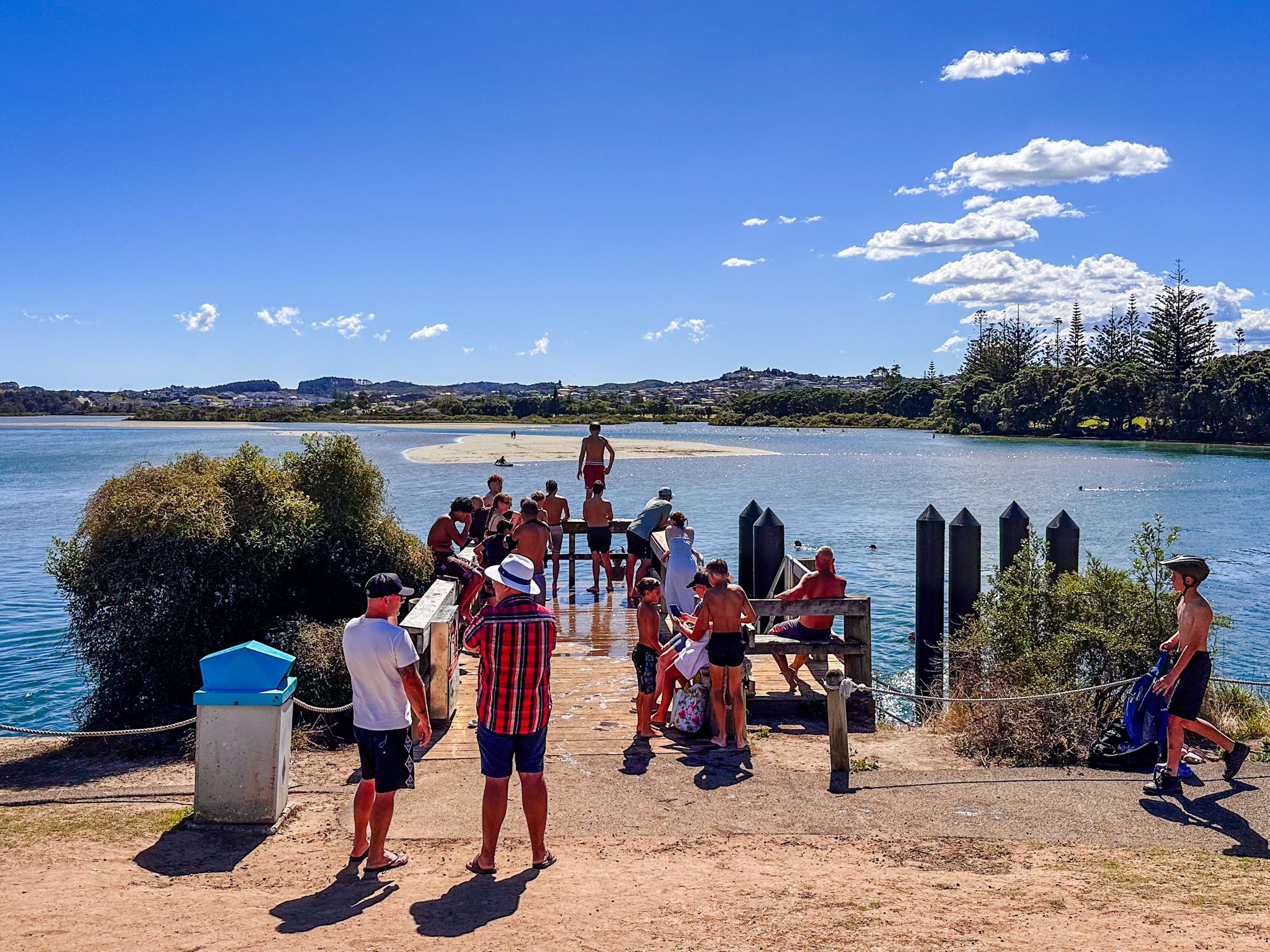
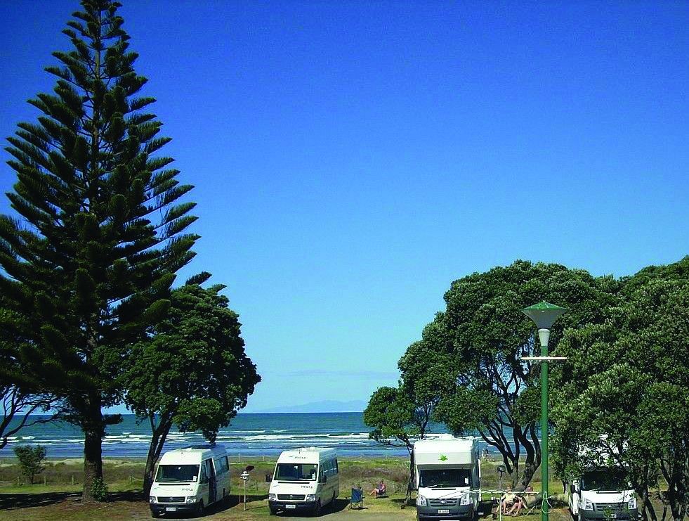
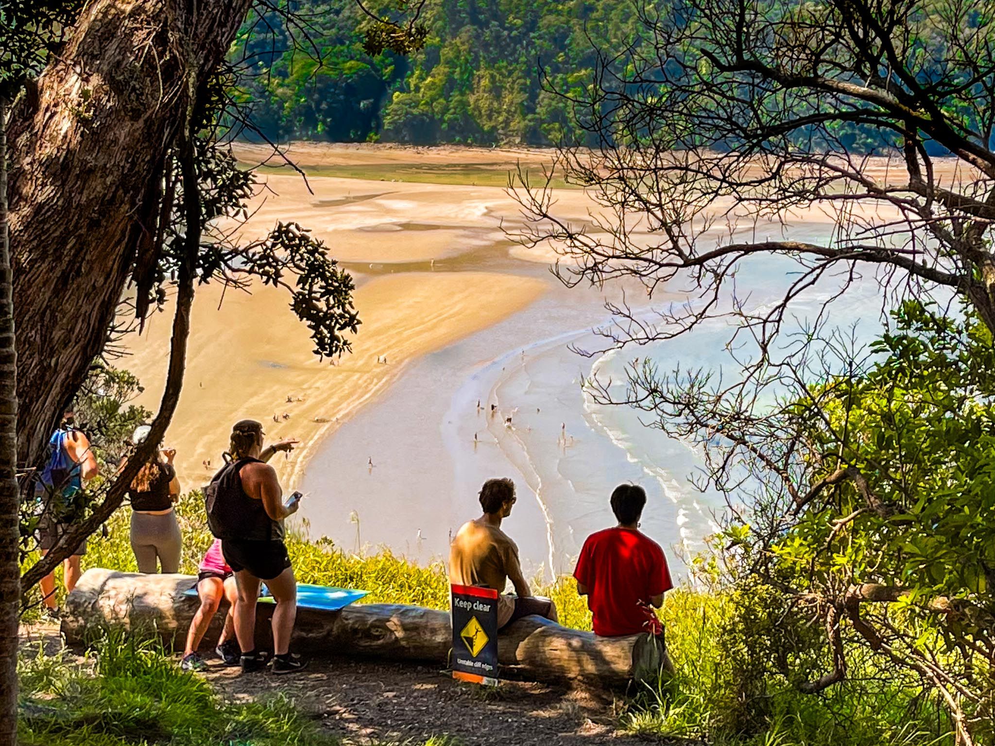
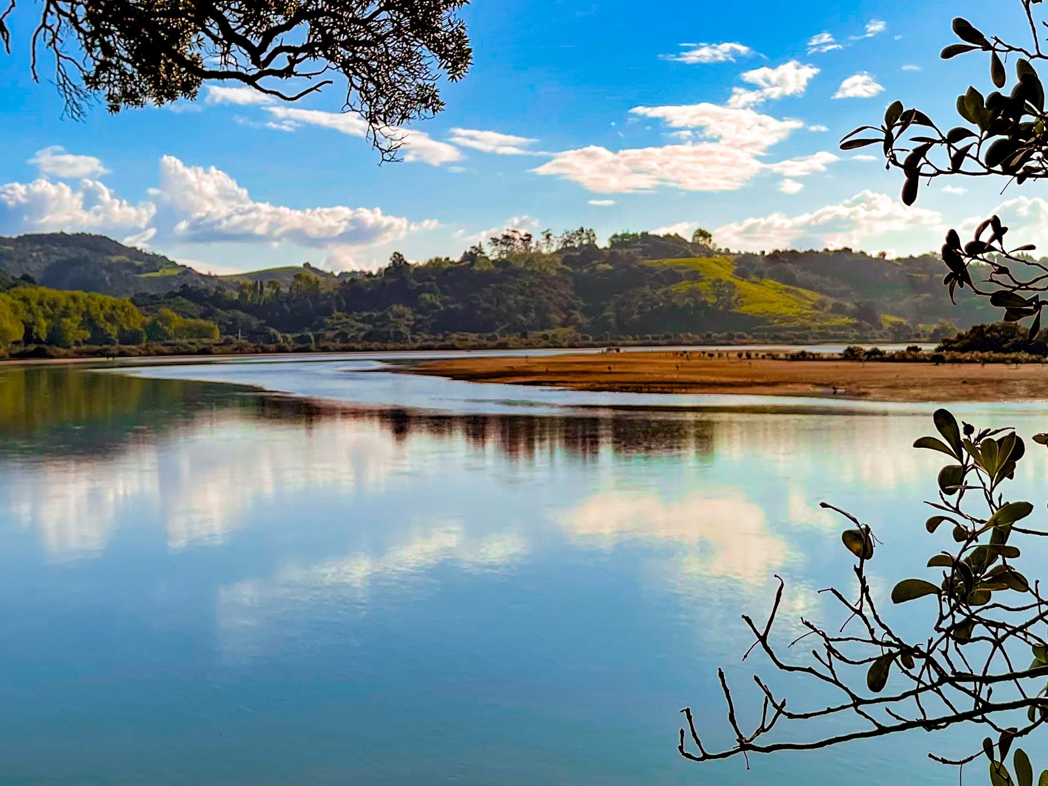
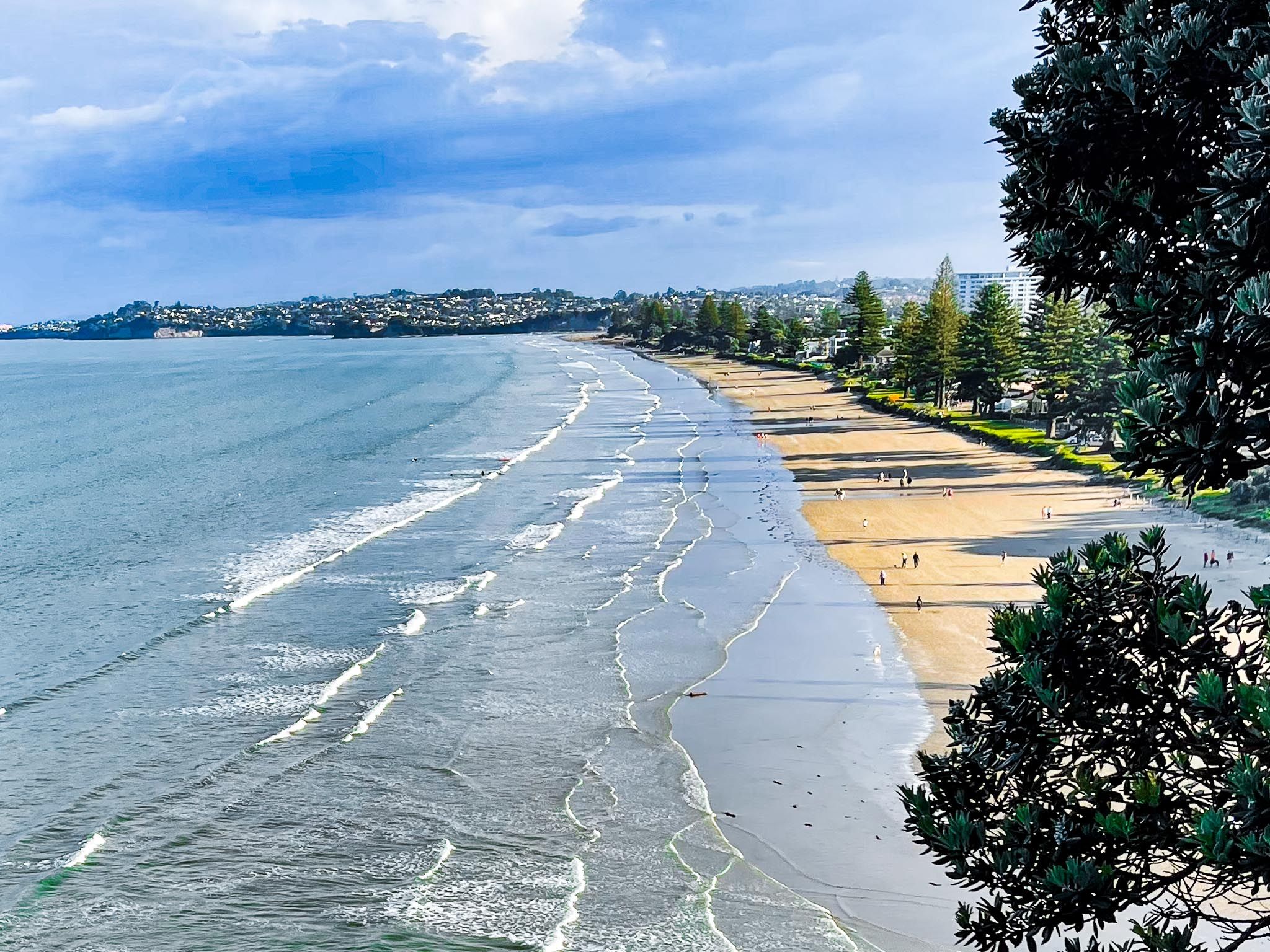
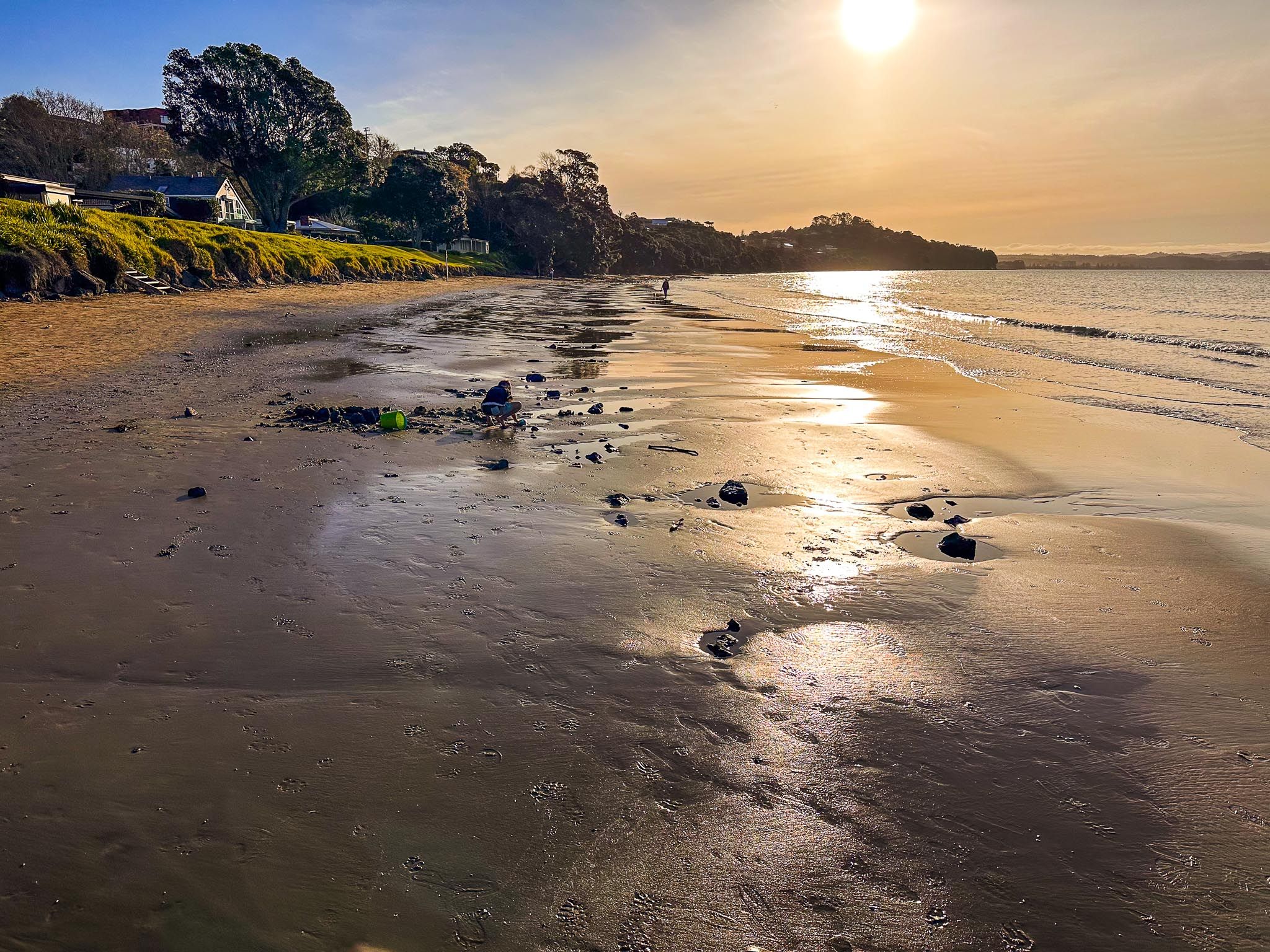
Further along the coast is Ōrewa, the main town with the longest beach on the coast. Ōrewa Beach features over 3 km of sand, gentle surf, a coastal boardwalk, and numerous cafes and shops. The estuary, fed by the Ōrewa River, is rich in wetland habitats and popular for kayaking, birdwatching and walking/cycling on Te Ara Tahuna Pathway. At the south end of the beach, there is a large campground, while the north end offers the easy kauri forest walks of Alice Eaves Scenic Reserve.
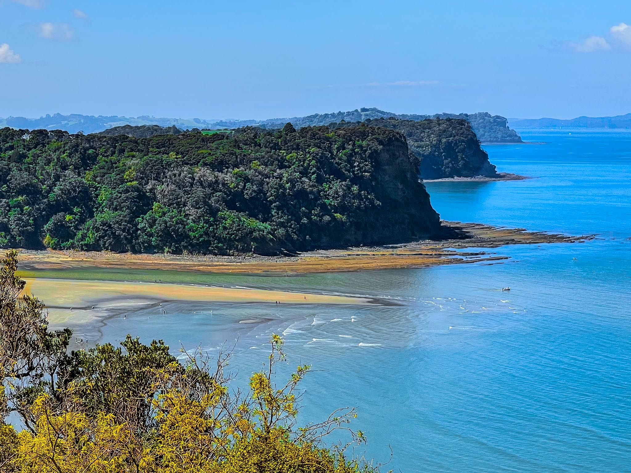
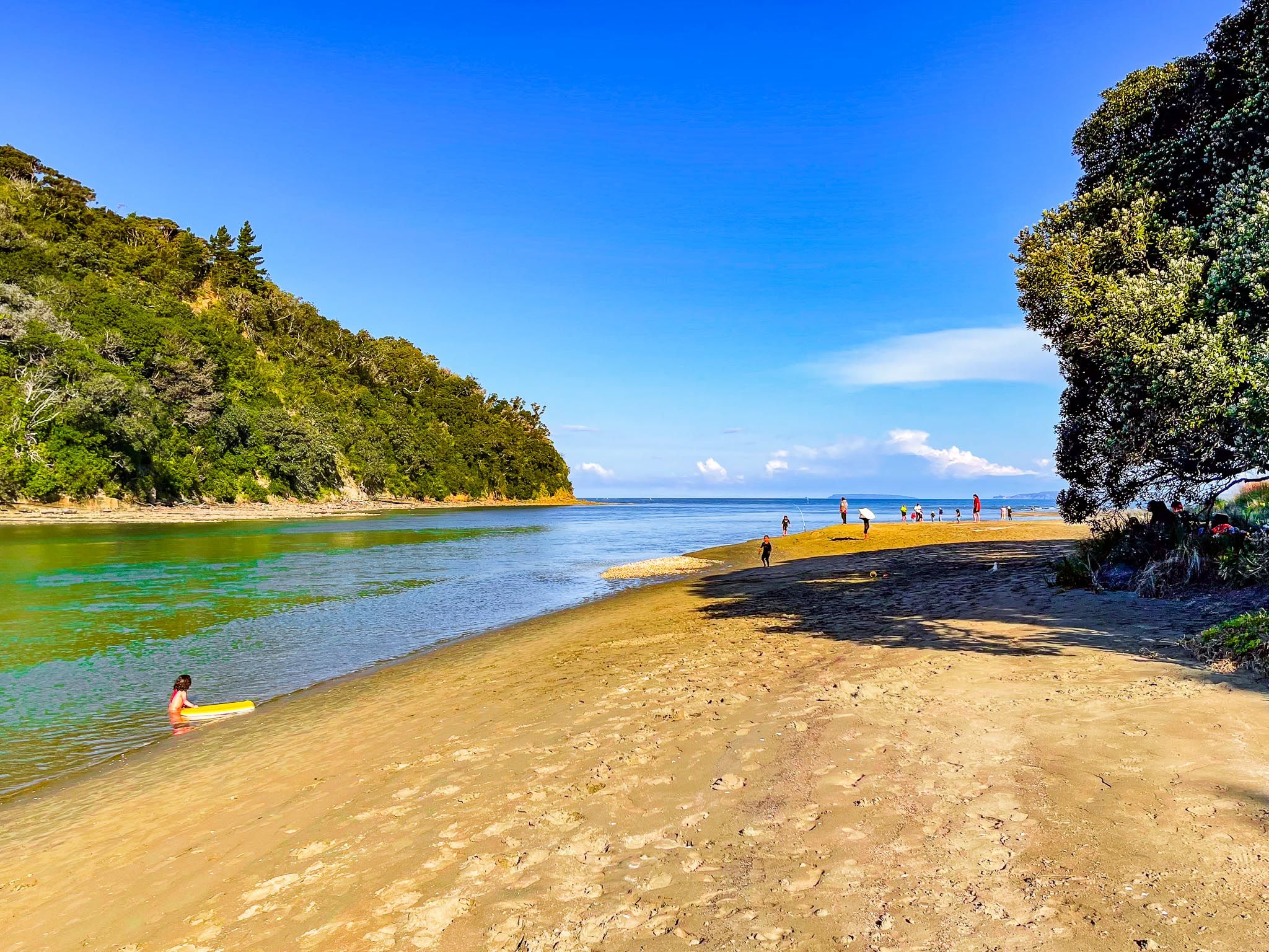
A short drive north takes you over a high point with stunning views of Whangaparāoa Bay to Hatfields Beach, a quieter bay. Continuing, you reach Waiwera, historically famous for its geothermal hot springs. Although the spa facility is no longer there, the beach and nearby Waiwera River provide swimming, a peaceful reserve, and kayaking opportunities.
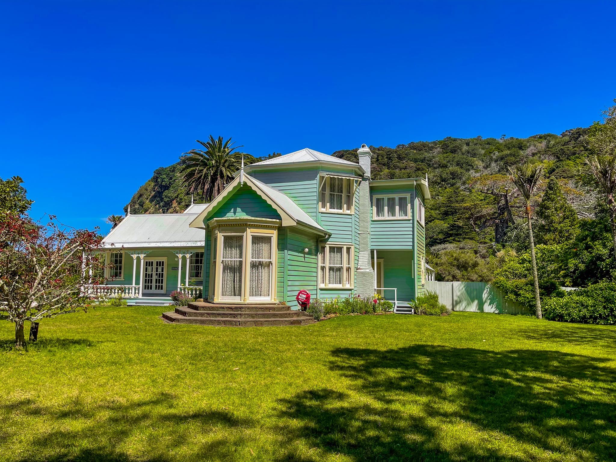
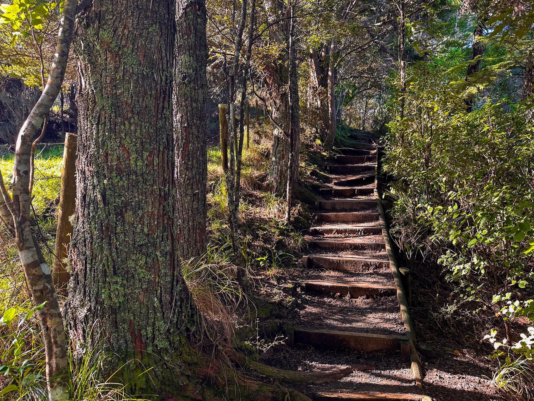
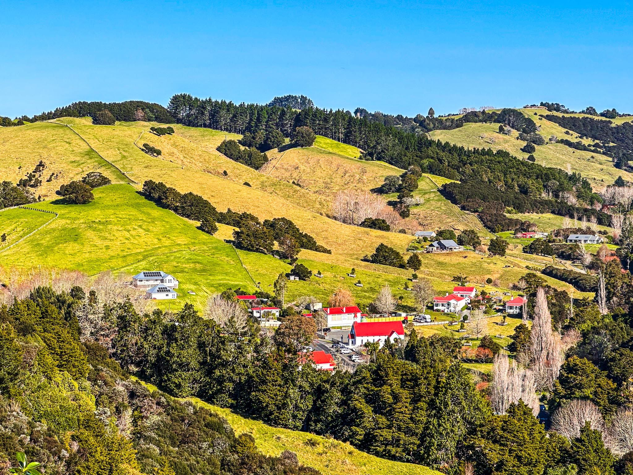
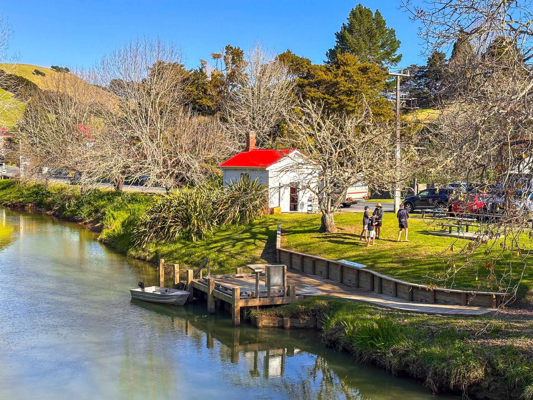
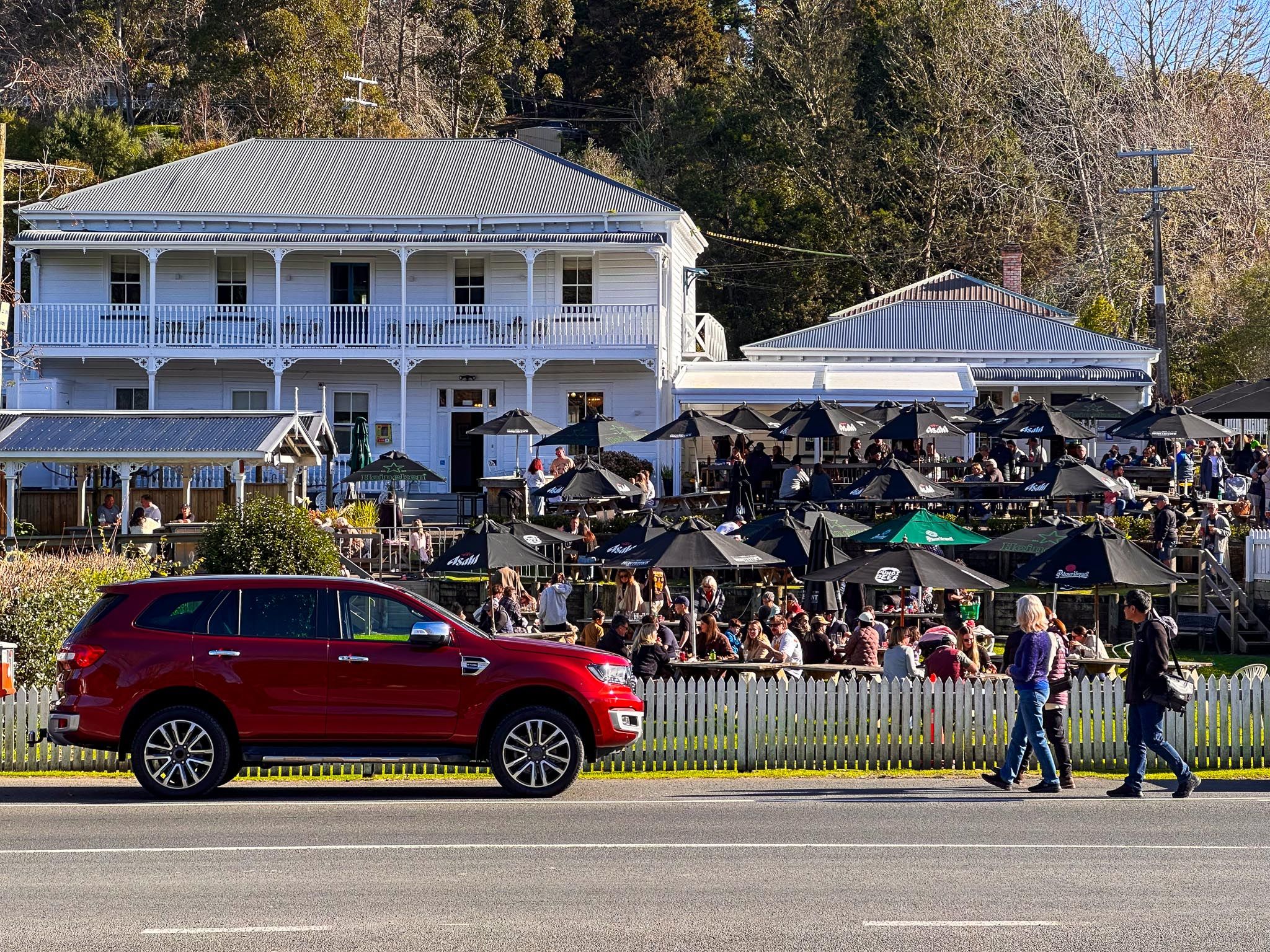
On the north side of the Waiwera River is Wenderholm Regional Park, Auckland’s first regional park. Here, you can explore a historic house, native forest walks with superb coastal viewpoints, birdlife, estuarine kayaking, a safe swimming beach, and a campsite. After Waiwera, another rural hill climb offers great views of the Puhoi River valley leading to Puhoi village.
The Whangaparāoa Peninsula – Bay of Whales and Coastal Life
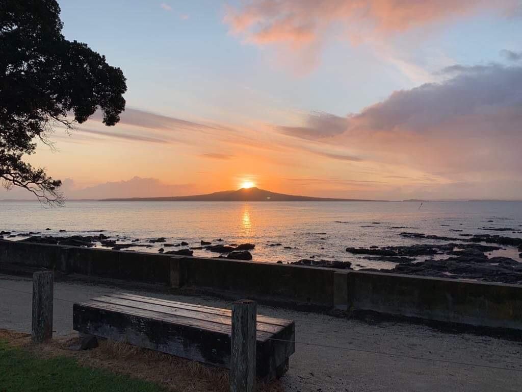
Branching east from Red Beach, the Whangaparāoa Peninsula stretches 25 km into the Hauraki Gulf. Its name, meaning "Bay of Whales", reflects the whales that frequently pass through the nearby gulf. The peninsula is a long tombolo formed by uplifted marine sediments and volcanic activity over millions of years.
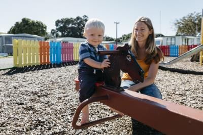
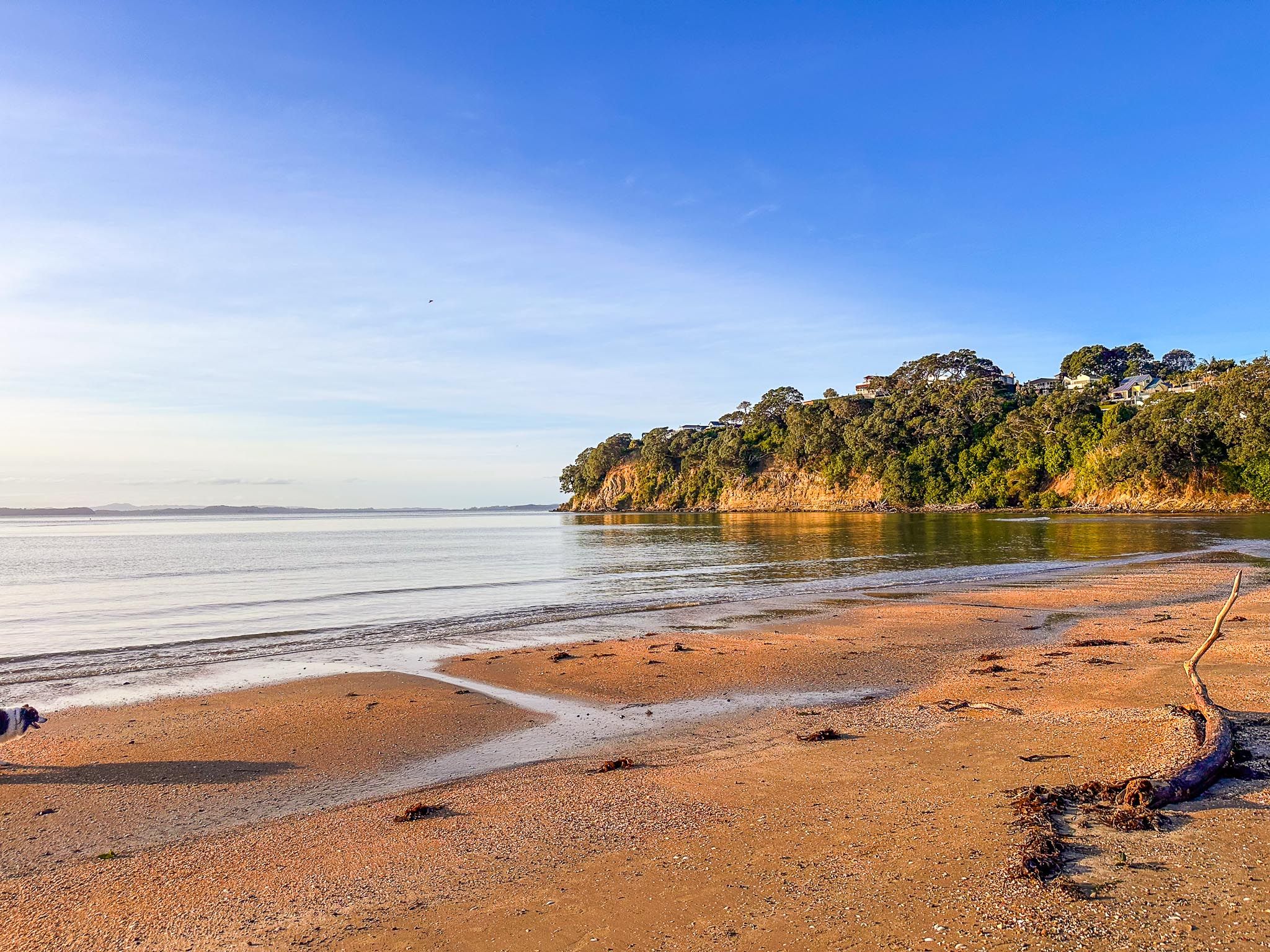
Stanmore Bay is the first major bay, offering a wide beach reserve, family playgrounds, and calm waters ideal for swimming. Big Manly Beach (Waiau Bay) is popular with paddleboarders and families, while nearby Tindalls Beach provides a quieter setting with spectacular low-tide rock pools.
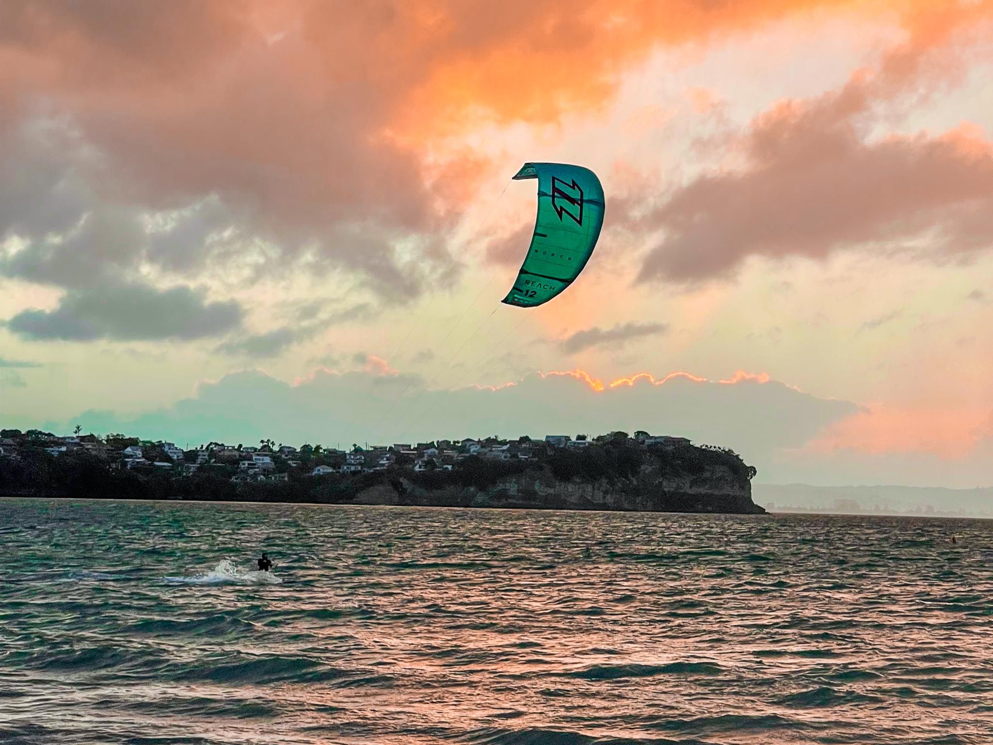
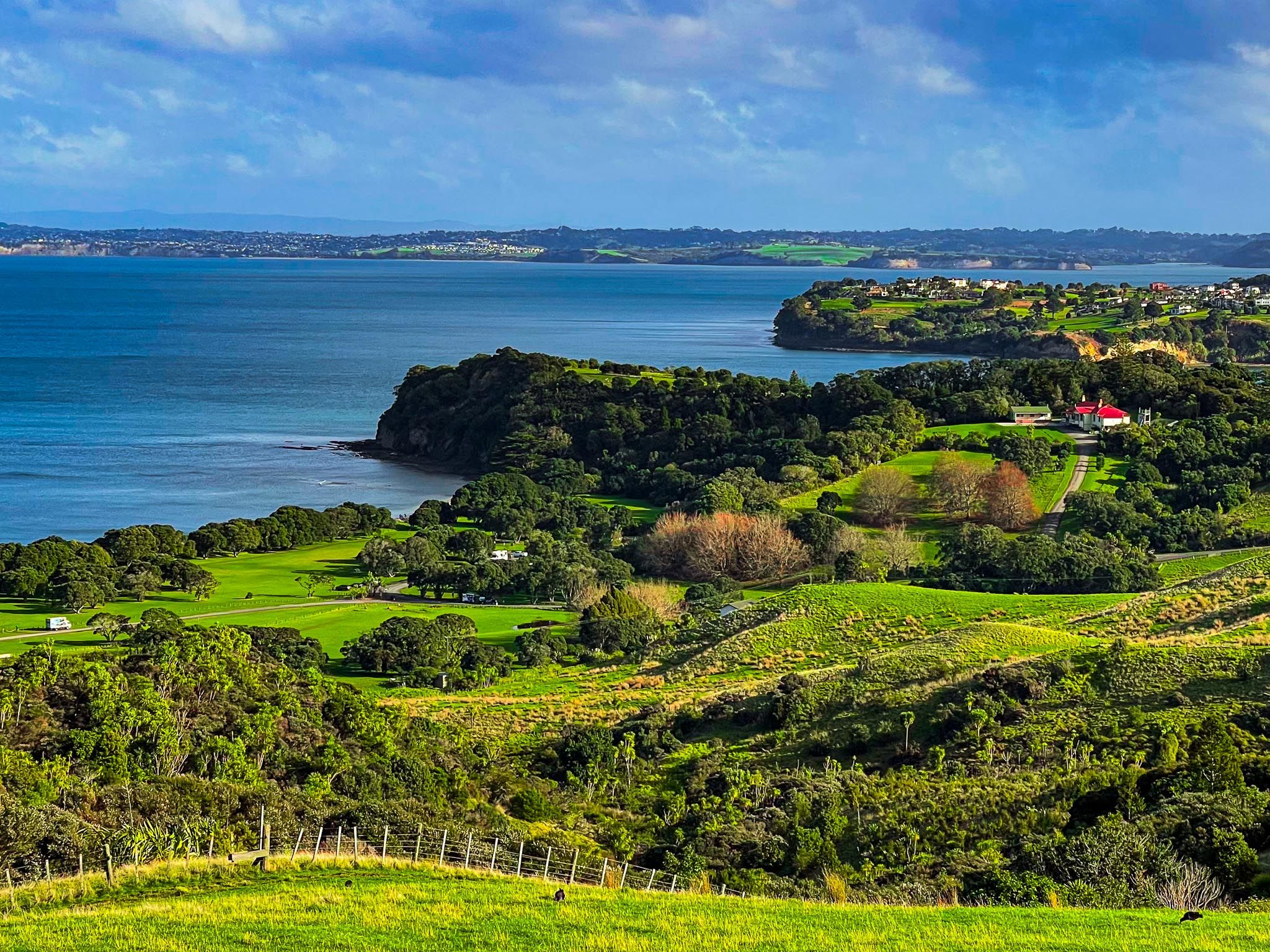
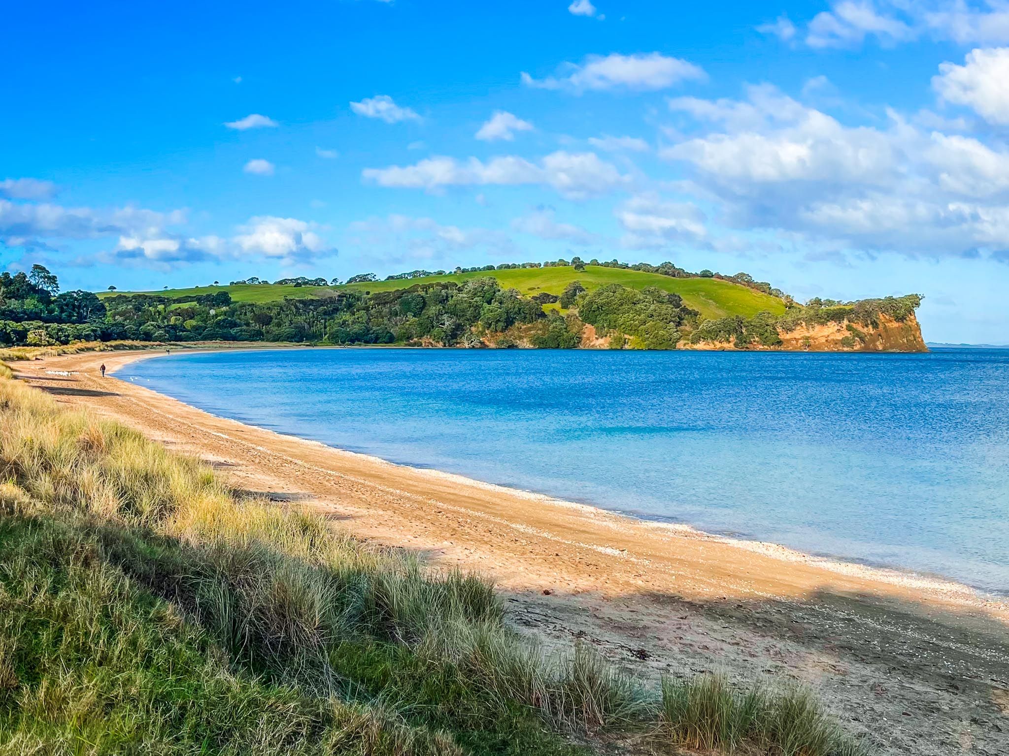
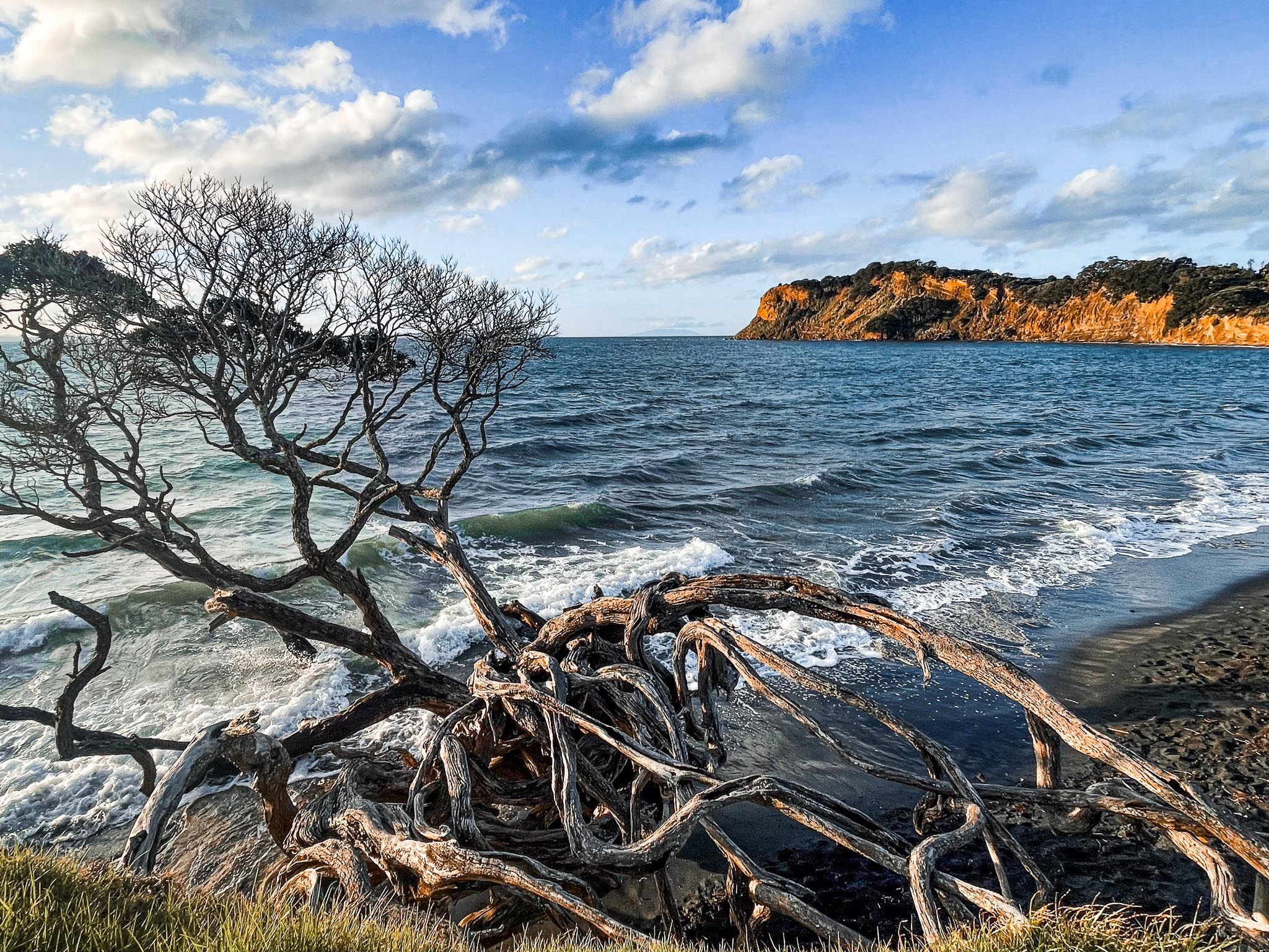
Shakespear Regional Park, located at the eastern end of the peninsula, features a fenced, predator-free regrowth forest, coastal walks, open pastures, and sweeping views across the Hauraki Gulf. Adjacent to the park is Army Bay, a popular diving and boat launch site. On the south side of the peninsula, next to the park, is Okoromai Bay, where you can collect shellfish at low tide, subject to catch limits.
How to Get There
To get to Silverdale from Downtown Auckland, the gateway to the Hibiscus Coast, take the northern motorway to the Silverdale off-ramp, then follow the Twin Coast Discovery Highway. The drive takes 33 minutes and is 34 km.