Discovering Mahurangi: A Coastal Gem in Northeast Auckland
Mahurangi, located on the Matakana Coast on the Hauraki Gulf in northeast Auckland, is a beautiful coastal area nestled between Warkworth and Wenderholm Regional Park. This region has stunning landscapes, with Mahurangi Regional Park and Scandrett Regional Park being major attractions.
The Geography and History of Mahurangi
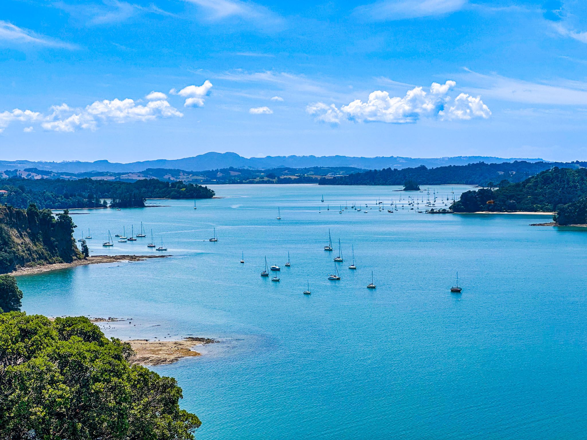
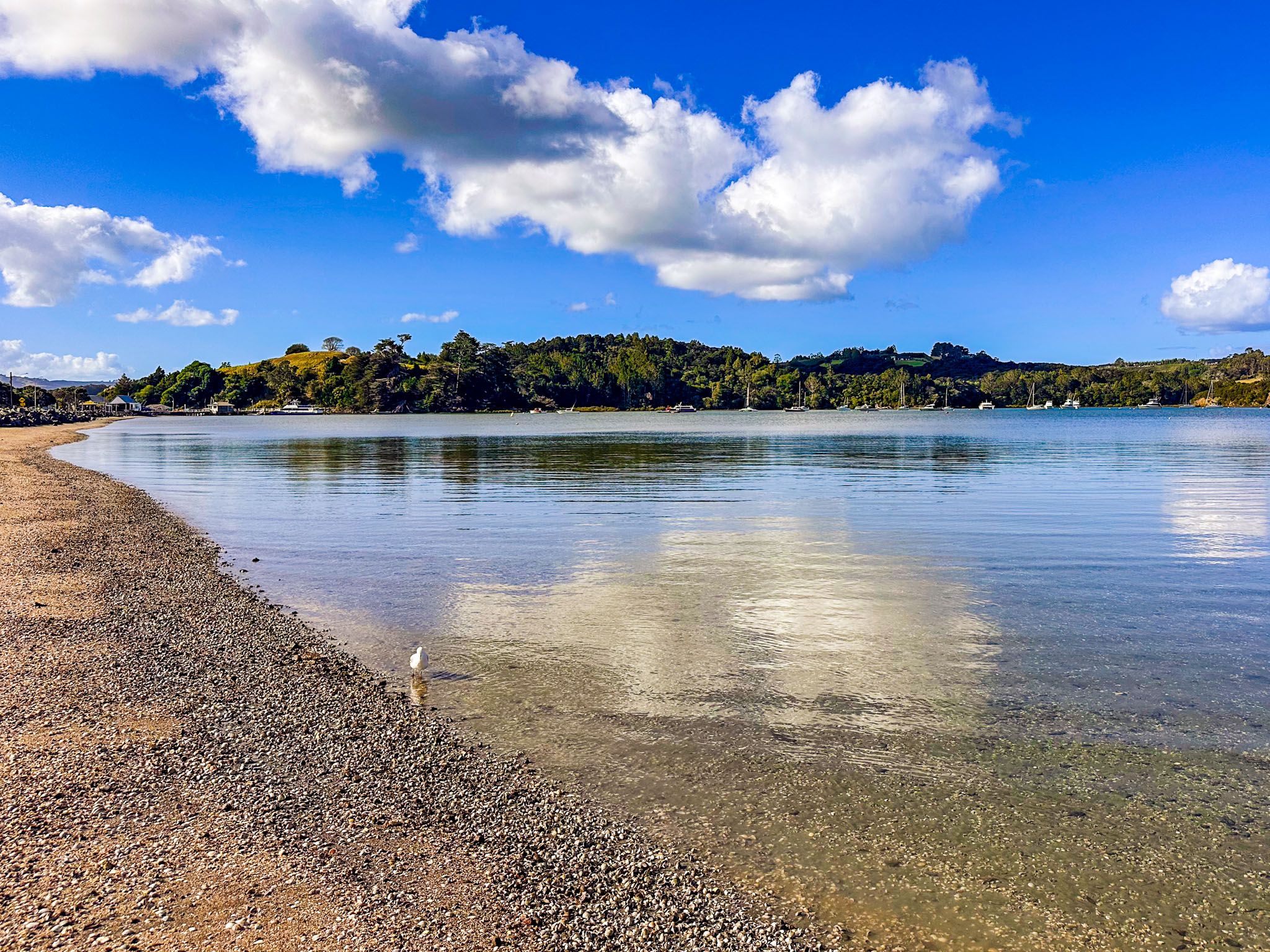
The name Mahurangi, which predates European settlement, refers to the area encompassing the Mahurangi River and Mahurangi Harbour. The harbour's west side is known as Mahurangi West, home to Mahurangi Regional Park West, while the north and east sides form the Mahurangi Peninsula. Mahurangi Regional Park East is located at the peninsula's southern end and is accessible only by boat. The name Mahurangi also referred to a community now commonly known as Scotts Landing.
The name Mahurangi has multiple interpretations, including "a rock pointed to the sky," which is embodied by Mahurangi Island, located opposite Waiwera. Another interpretation links the name to a tohunga, or high priestess, from the Tainui waka.
Exploring the Coastal Communities
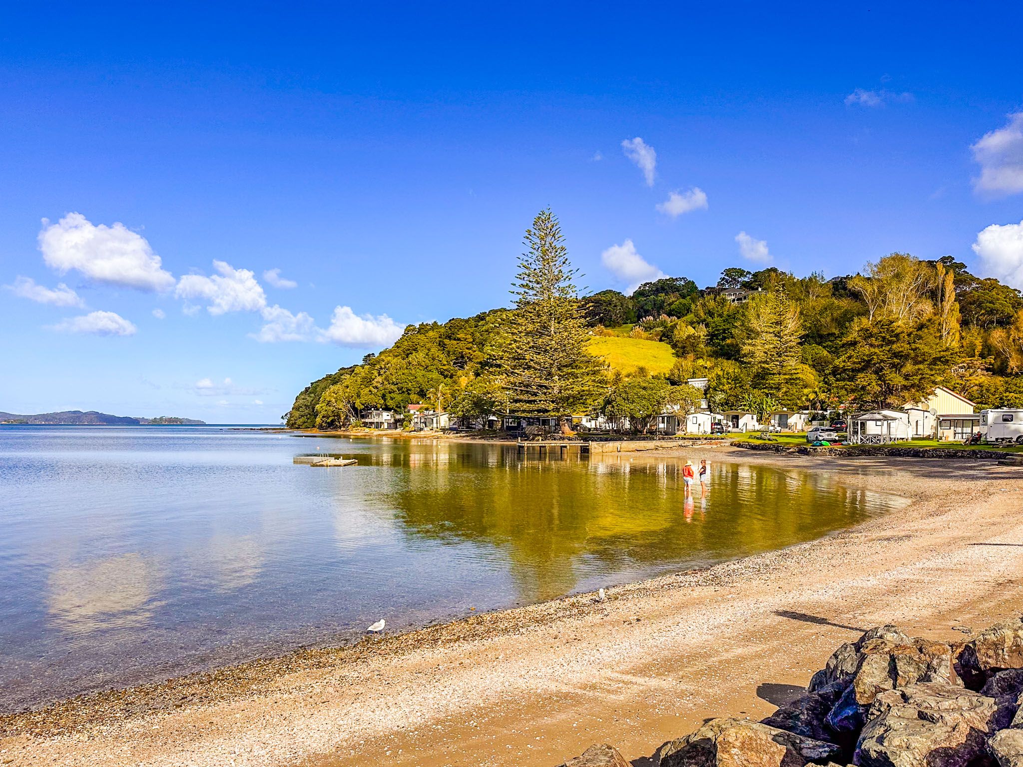
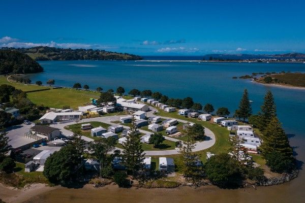
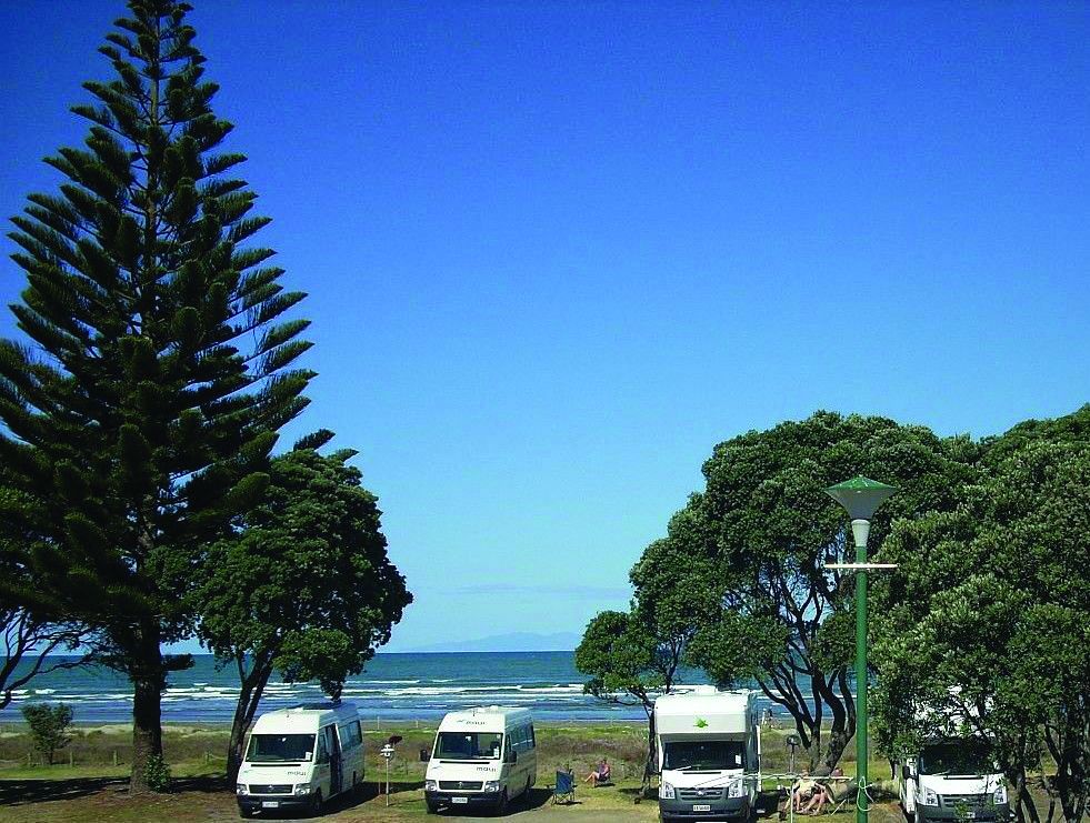
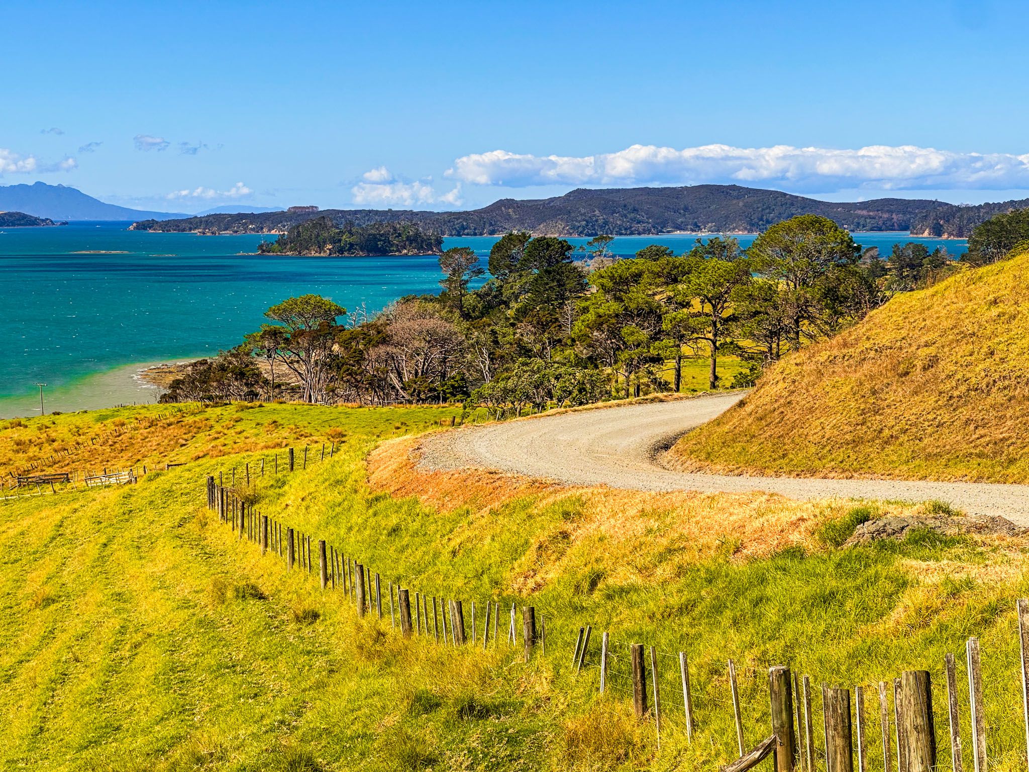
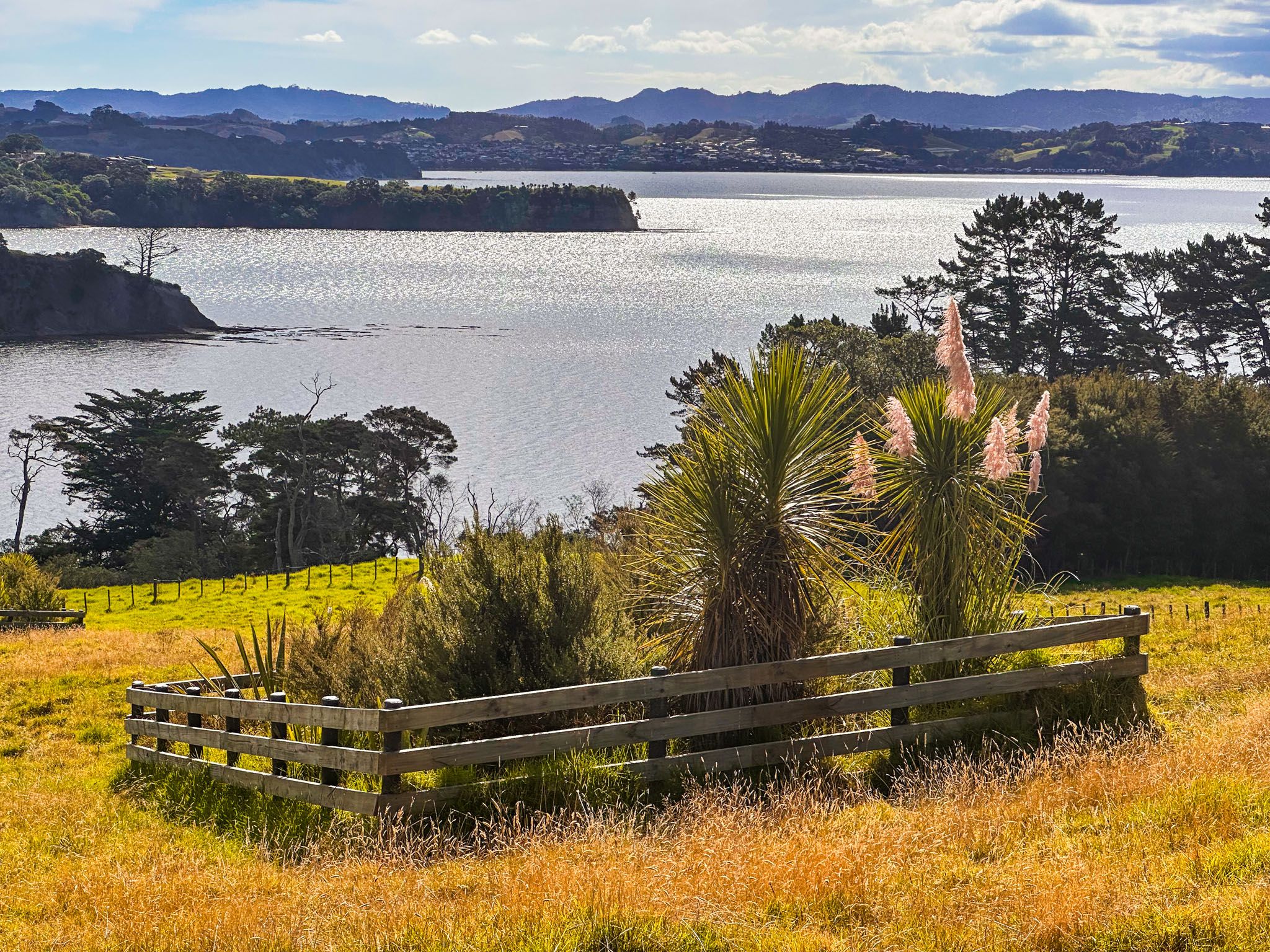
Mahurangi is predominantly rural and hilly, featuring farms, lifestyle blocks, and coastal communities such as Sandspit and Snells Beach. From Warkworth, you can take Sandspit Road to reach the peninsula. After 4.6 km, continue to Sandspit or head east towards Snells Beach on Mahurangi East Road. Look out for the turnoff to Brick Bay.
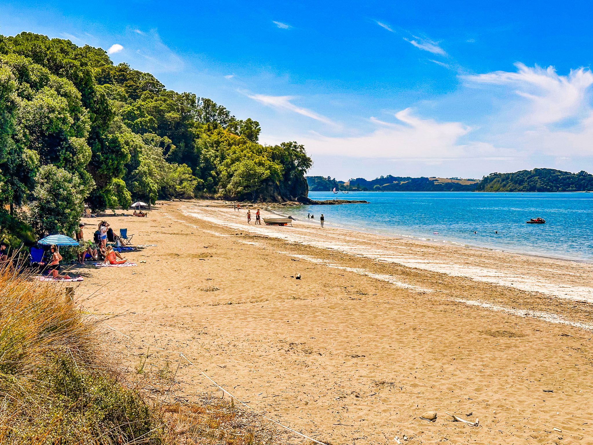
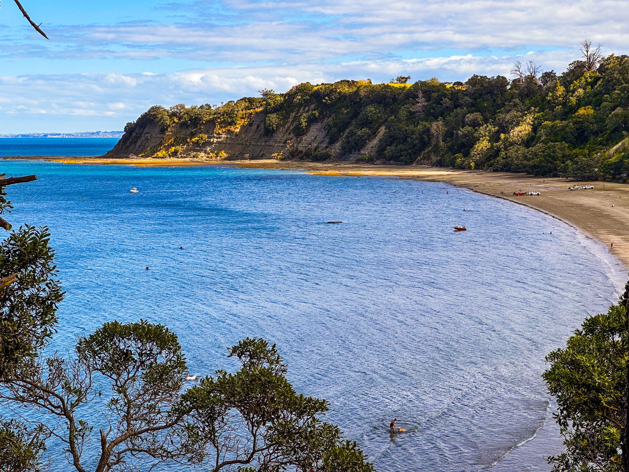
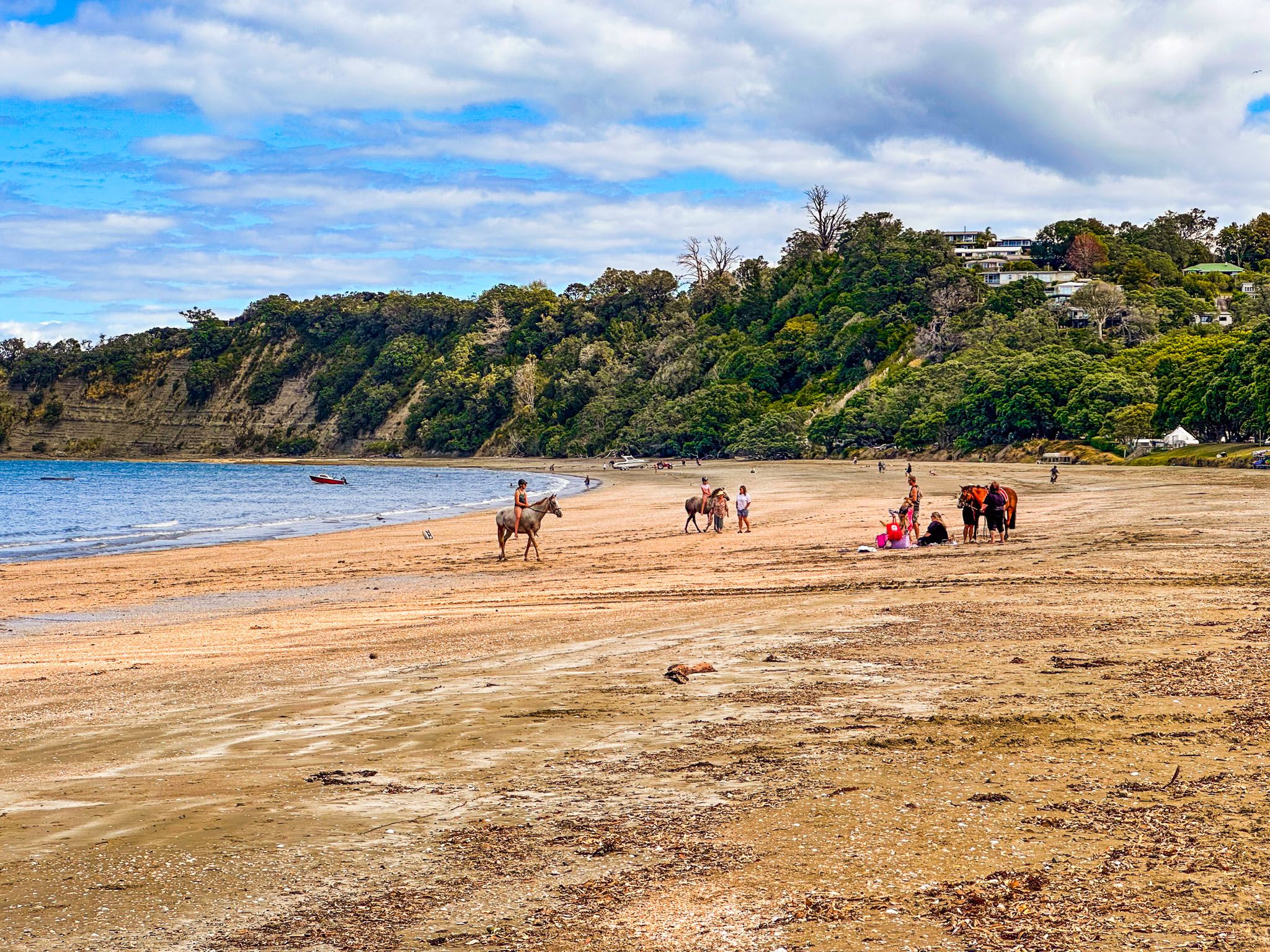
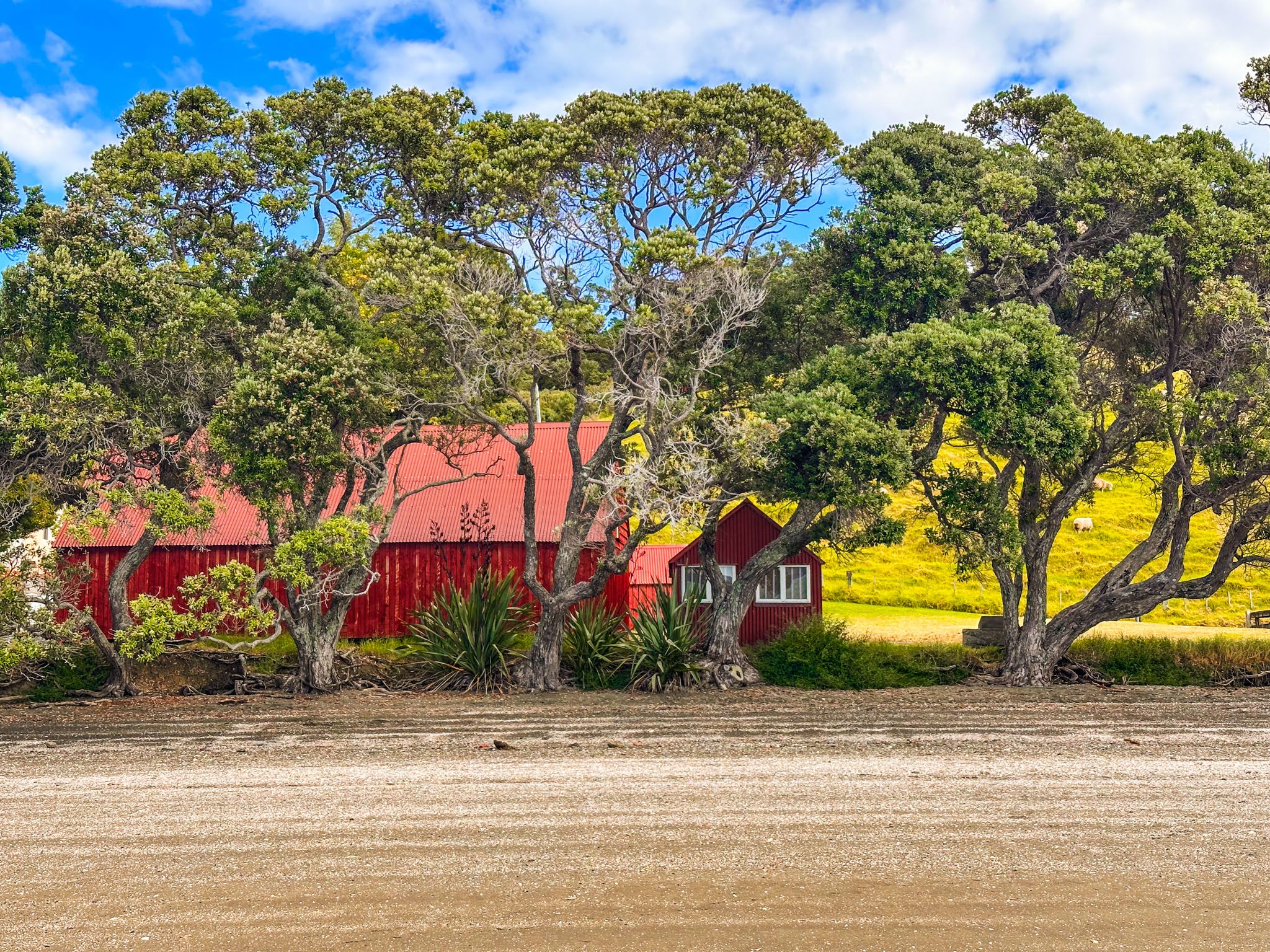
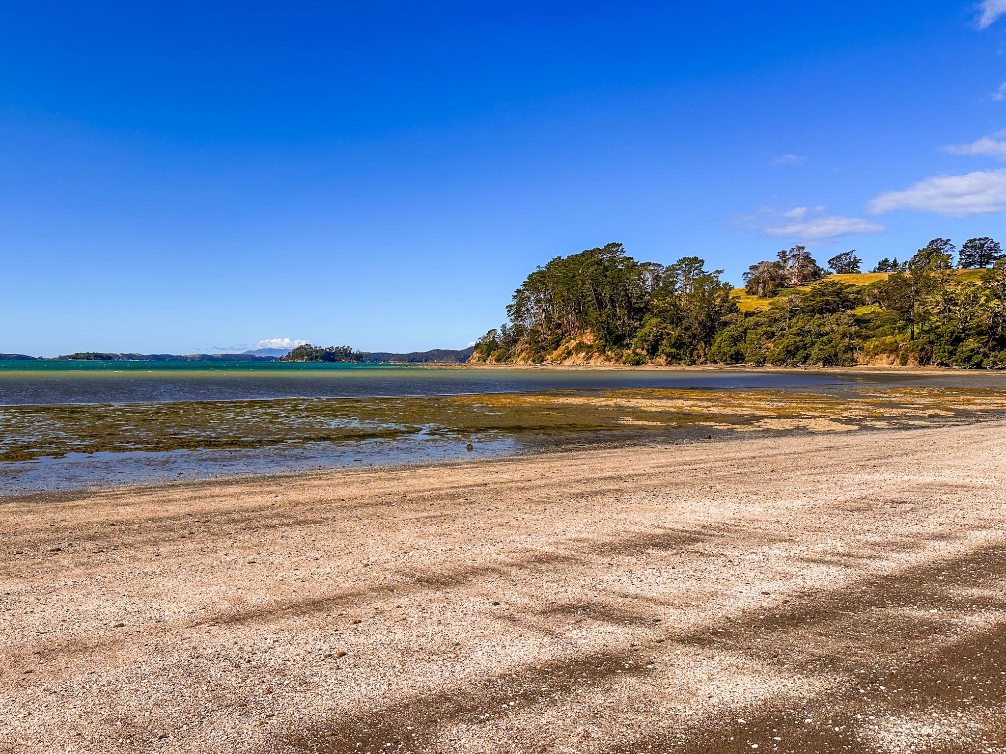
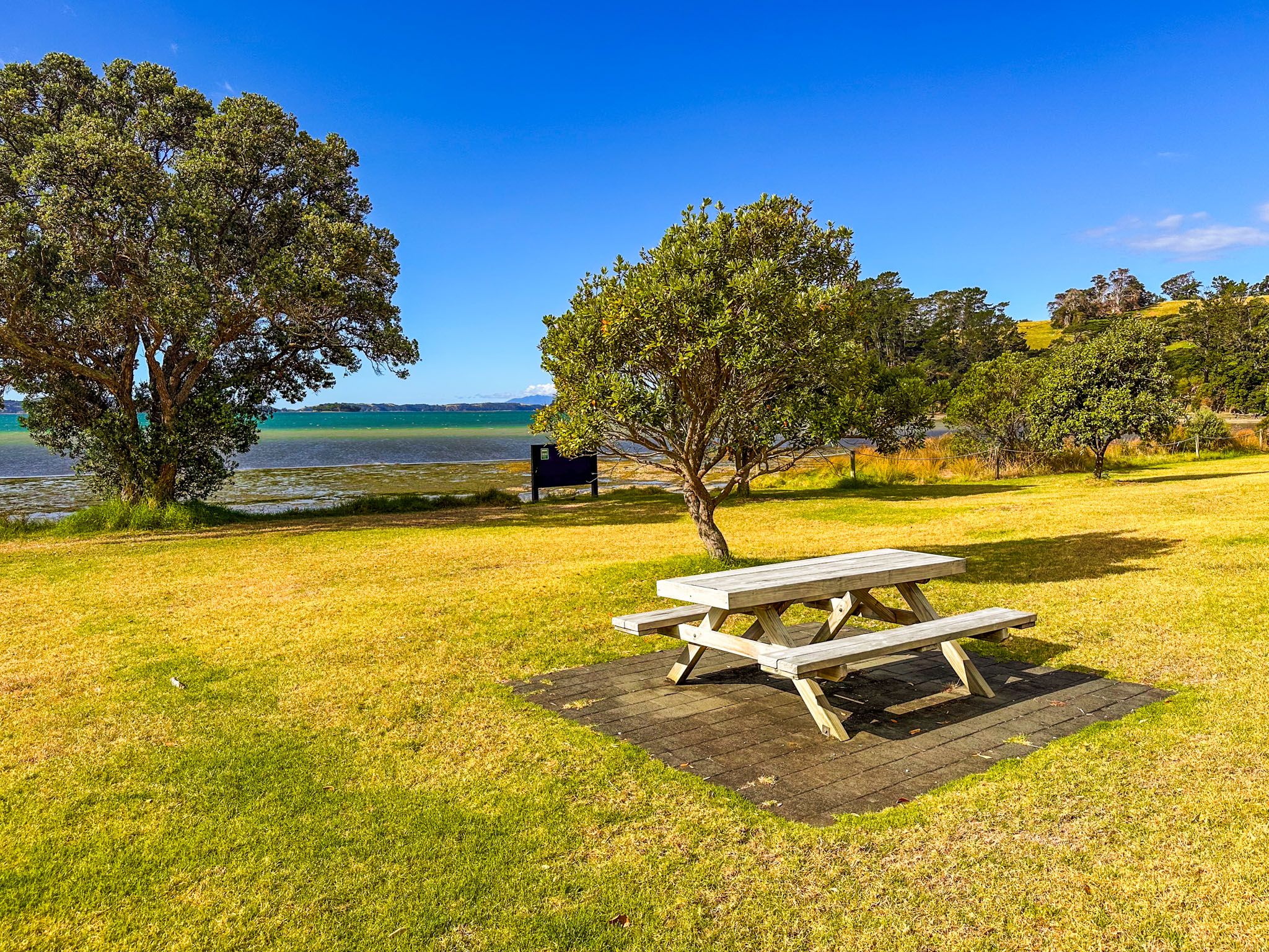
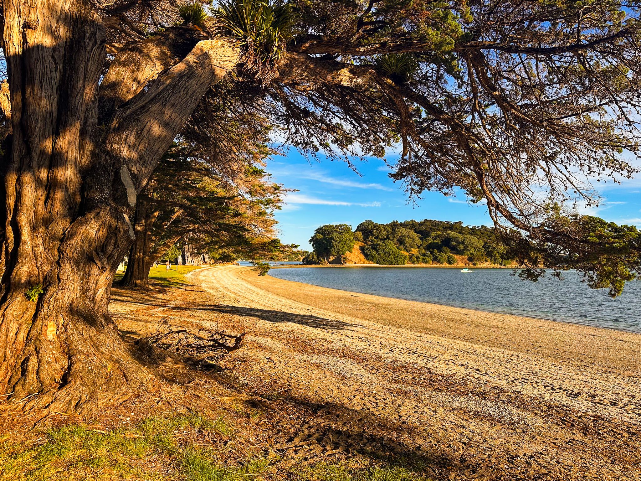
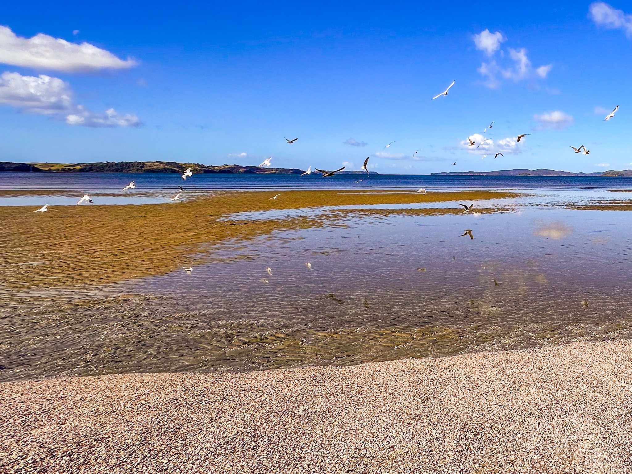
Continuing on Mahurangi Road leads to Scandrett Regional Park and Martins Bay. From this park, there is a loop track with scenic views and a short link to Martins Bay. The beach at Martins Bay, adorned with pōhutukawa trees, is particularly appealing. Camping options are available at Sandspit, Snells Beach, Scandrett, and Martins Bay.

Scenic Drives and Historical Sites
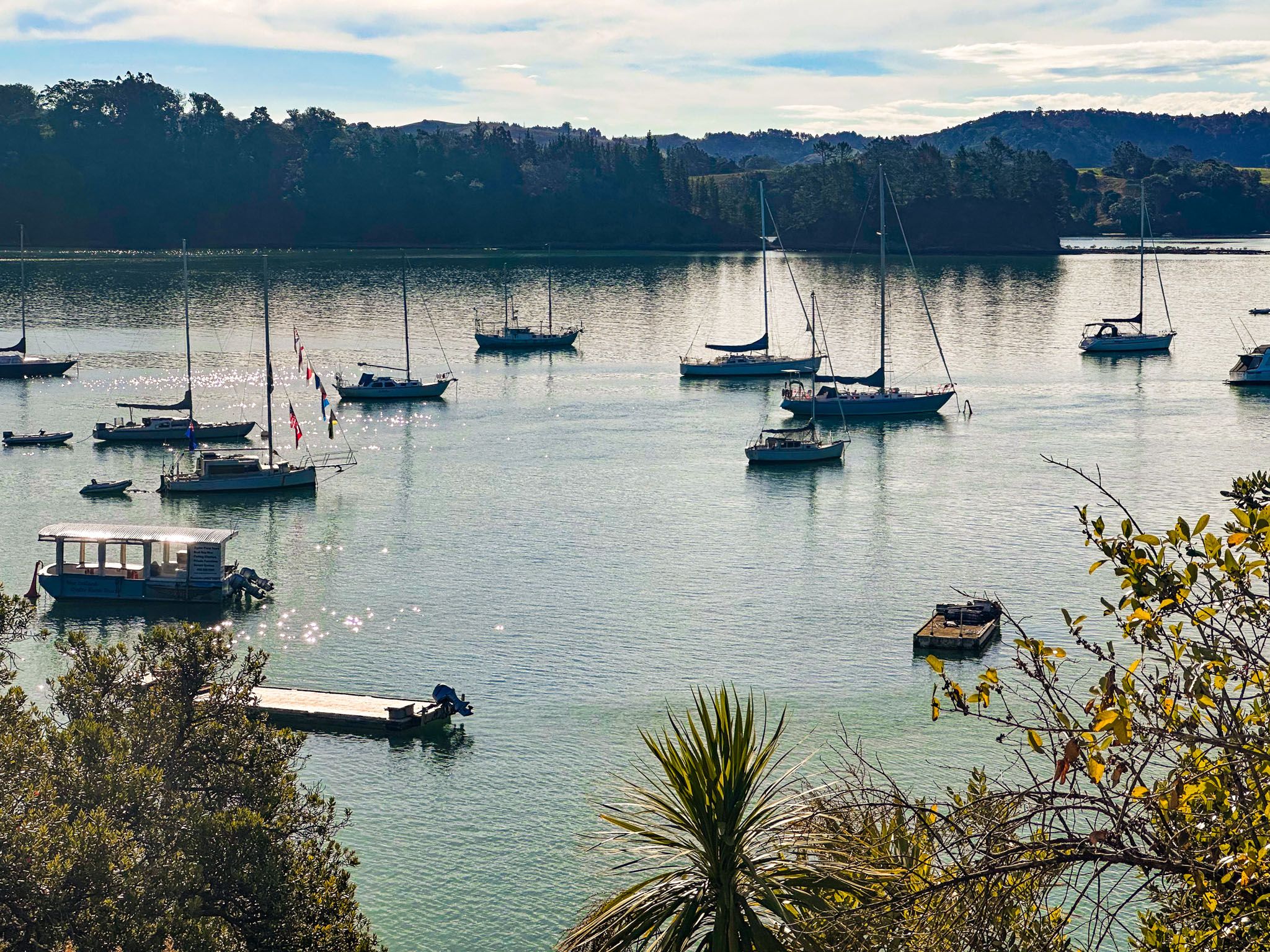
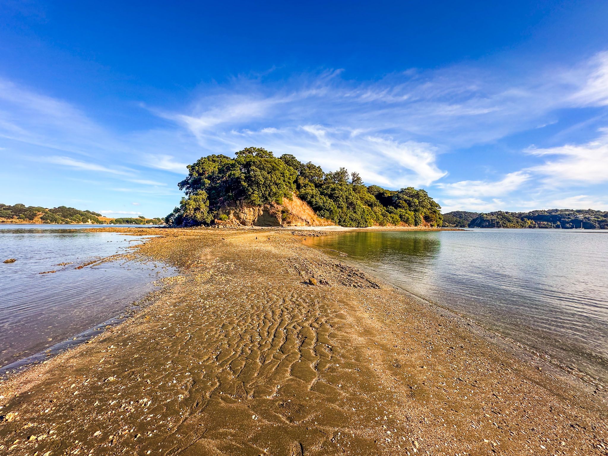
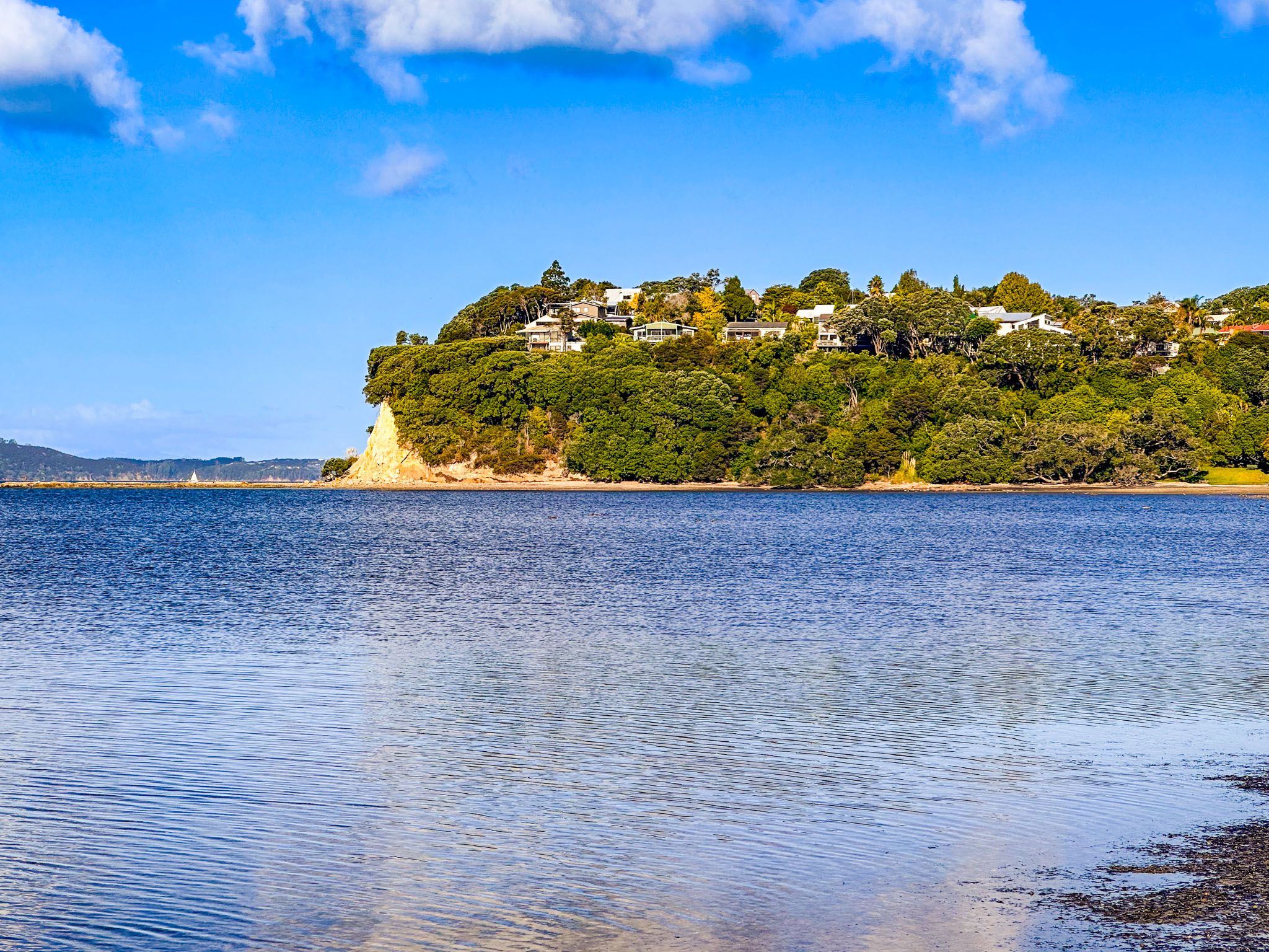
Between Algies Bay and the turn-off to Scandrett Regional Park, Ridge Road leads to Scotts Landing. This scenic drive has views of the harbour and access to a lesser-known part of Mahurangi Regional Park. At the end of the road, a wharf and boardwalk lead to a picturesque beach and the historic Scott Homestead. At low tide, you can walk to Casnell Island.
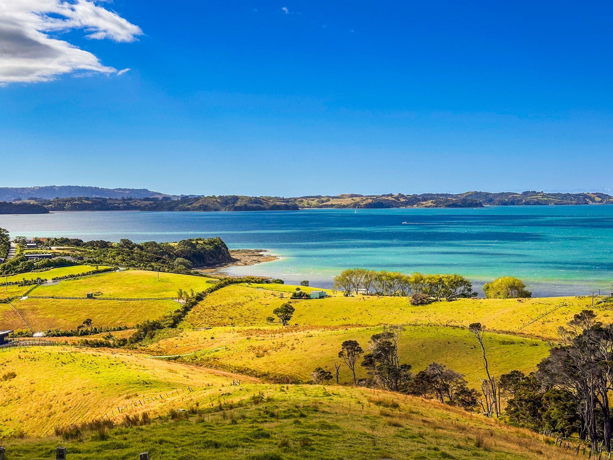
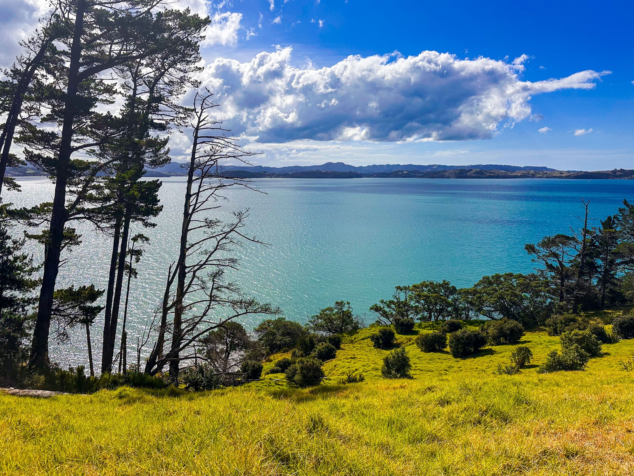
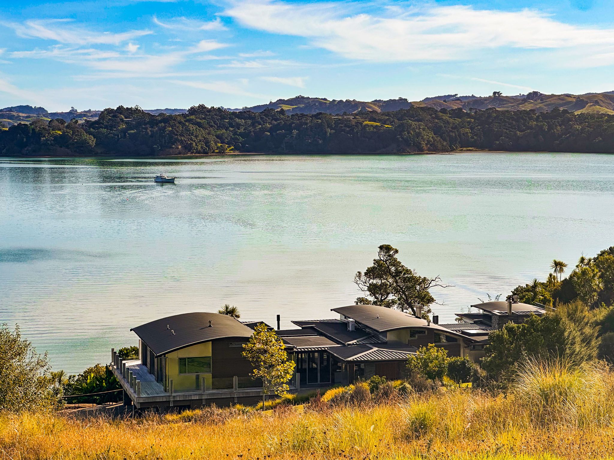
Access to Mahurangi West is via Mahurangi West Road, which branches off the Twin Coast Discovery Highway between Warkworth and Puhoi. This 20 km winding road traverses the Tawhitkahu Ridge and provides spectacular views of Mahurangi Harbour. The park provides camping facilities and several loop walks.
The Formation and Settlement of Mahurangi Harbour
Mahurangi Harbour is a drowned river valley formed around 17,000 years ago. As the river flowed into what is now the Hauraki Gulf, rising sea levels at the end of the last ice age flooded the valley, creating the harbour over 7,000 years ago.
The Mahurangi area has been inhabited since the 13th century, with a connection to the legendary early migrant Toi-te-huatahi. The warrior Maki unified many Tāmaki Makaurau iwi as Te Kawerau ā Maki in the mid-1600s. The Ngāpuhi invasion during the Musket Wars in the 1820s displaced them, and Ngāti Paoa briefly occupied the area in the 1830s.
European Settlement and Transformation
European settlement began in the 1830s when Gordon Browne established a spar station on the west side of Mahurangi Harbour. The station faced challenges from returning Māori as the Musket Wars subsided across the region, but operated until 1834. After the Treaty of Waitangi in 1840, the government undertook the enormous Mahurangi Purchase, which covered from Takapuna to Mahurangi in 1843, but the Ngāti Paoa vendors had illegitimate claims, leading to disputes with the actual Ngāti Rongo occupants.
The dispute was resolved by the creation of Hemara’s Reserve in the 1850s, which covered the region from Waiwera to the Pukapuka Inlet to the middle of the North Island. The land was gradually sold to European settlers. Following Te Hemara Tauhia's death in 1891, the last of the reserve was sold, and the hapū moved to the Kaipara region.
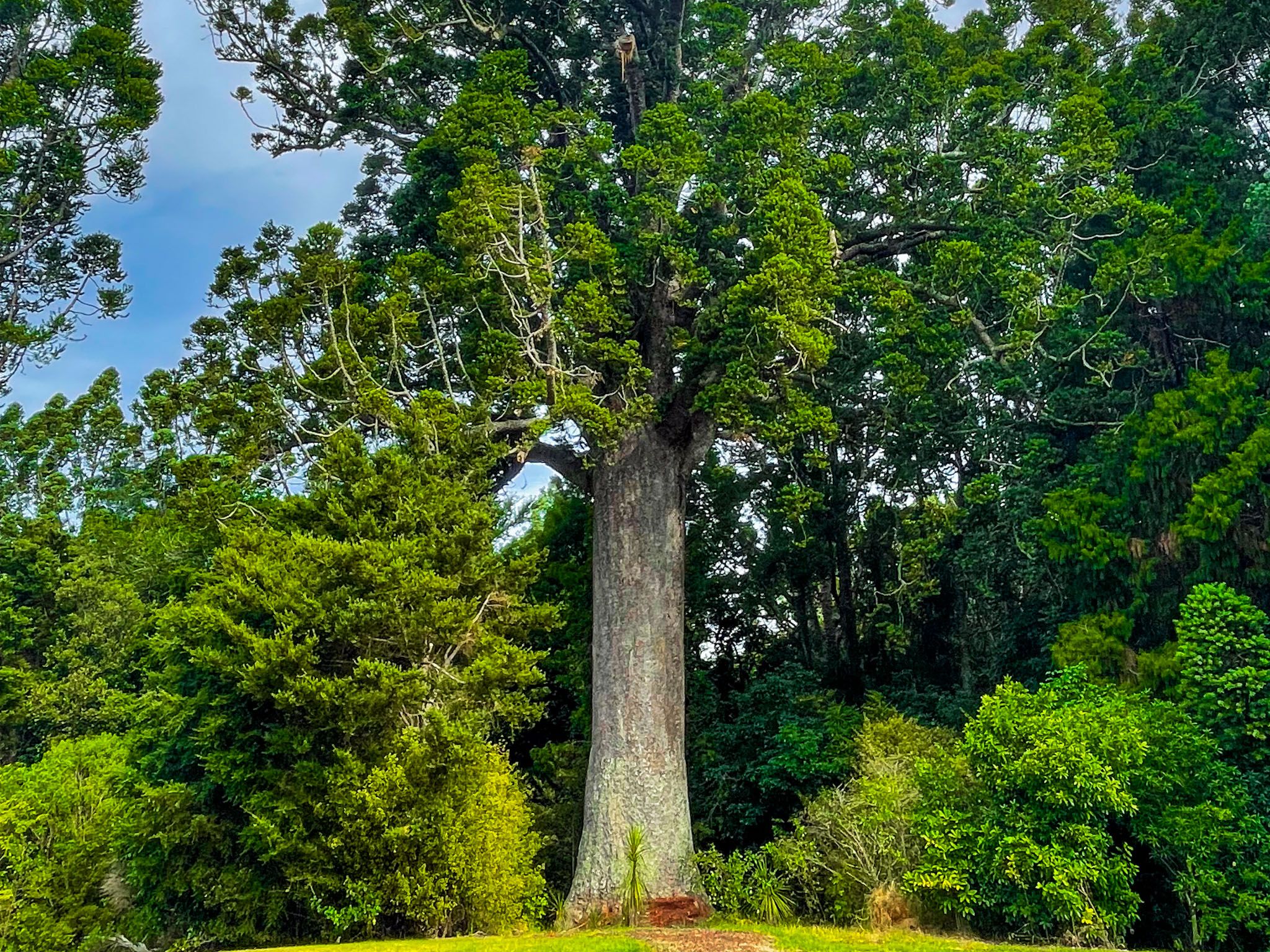
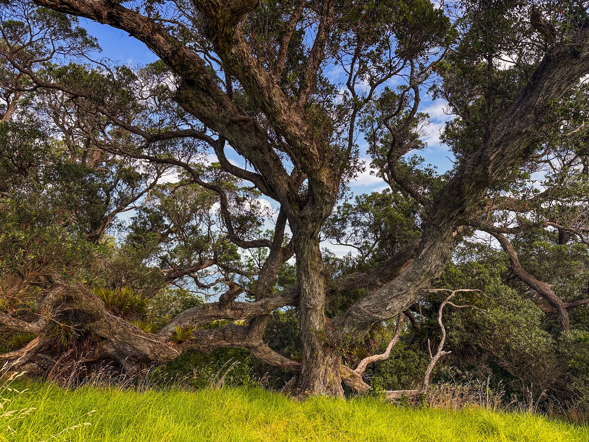
European settlers transformed the region from dense forest to farmland, with towns emerging to support timber extraction and farming. Today, these towns are part of Auckland's coastal lifestyle. Parry Kauri Park in Warkworth is a notable site to see a surviving kauri grove.
Getting to Mahurangi
To reach Mahurangi, drive from Auckland to Warkworth on the northern motorway, then take Sandspit Road to access the peninsula. For Mahurangi West, take the Twin Coast Discovery Highway and turn onto Mahurangi West Road.
South of Mahurangi is the Hibiscus Coast, where you can visit Wenderholm Regional Park and Ōrewa, as well as Waiwera, Puhoi, and the Whangaparaoa Peninsula.