A Greenbelt Around the City's Edge
A linked chain of gardens and parks runs around the southeast fringe of central Invercargill, connecting the Otepuni Stream corridor with a sequence of open reserves that ends at Queens Park. The walk begins at the corner of Clyde Street and Wood Street, passes through Otepuni Gardens, then heads north along the greenbelt through the Nursery Gardens, the Doon Street reserve with the relocated Umbrella sculpture, Otakaro Park, and the Water Tower. The distance is approximately 2 km, and the whole route is well-suited to families, young children, and anyone looking for a quiet green escape close to the city centre.
The Starting Point: Clyde Street and Wood Street
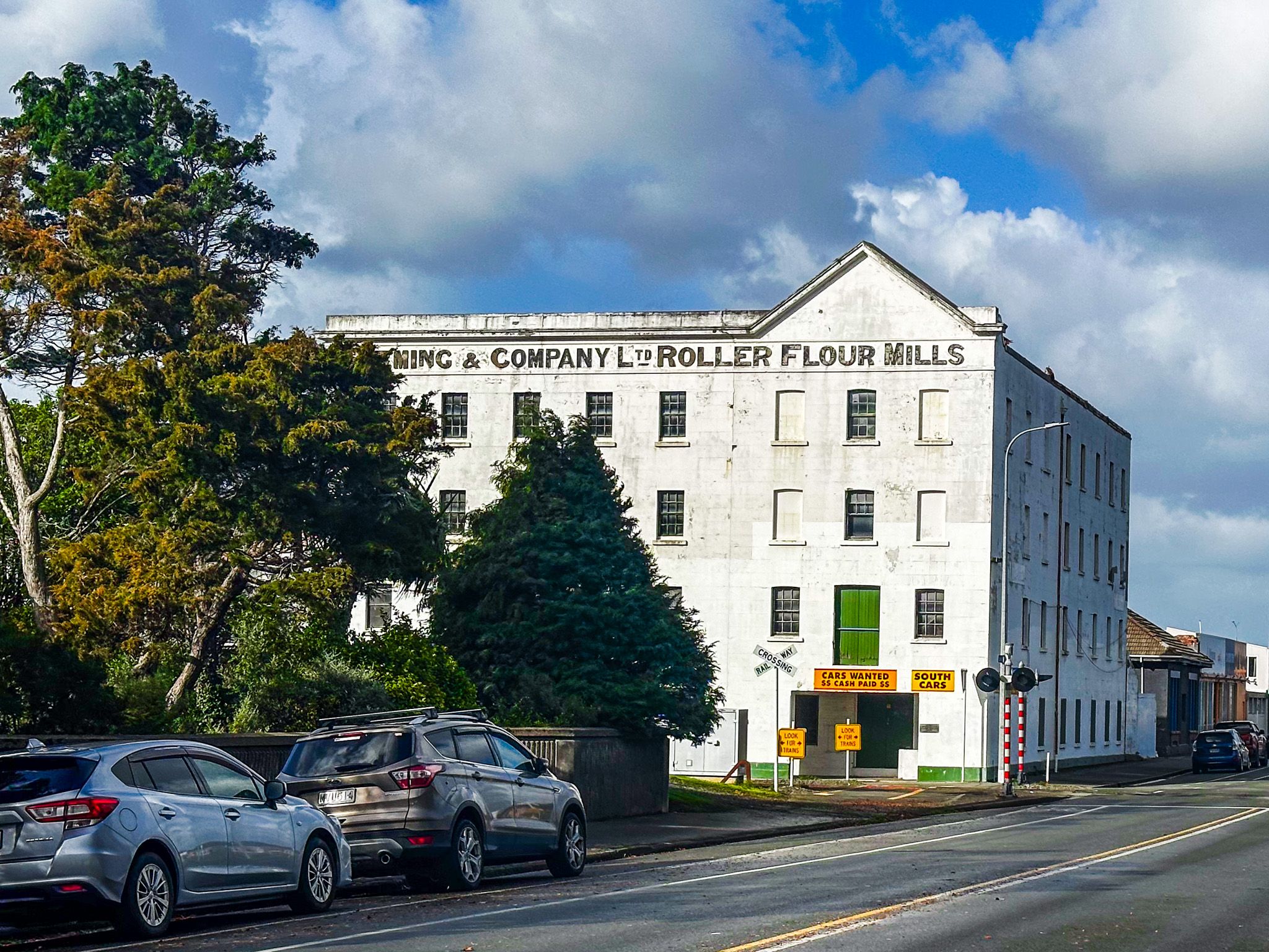
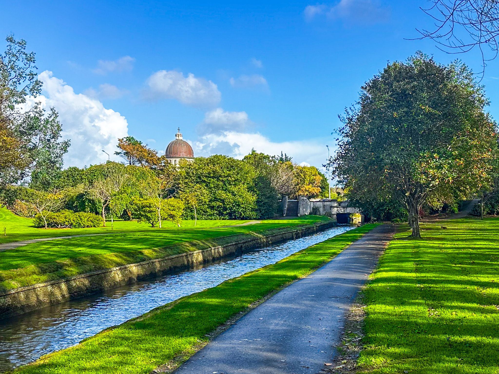
The walk begins at the corner of Clyde Street and Wood Street, one short block south of the city centre. Follow the path along the stream diagonally to the corner of Nith Street and Forth Street. Cross the road diagonally to reenter the park, but watch out for St Mary's Basilica immediately to the right as you face east. Its copper-clad dome and Romanesque facade, dating from 1905, make a lovely backdrop to the start of the walk.
Otepuni Gardens
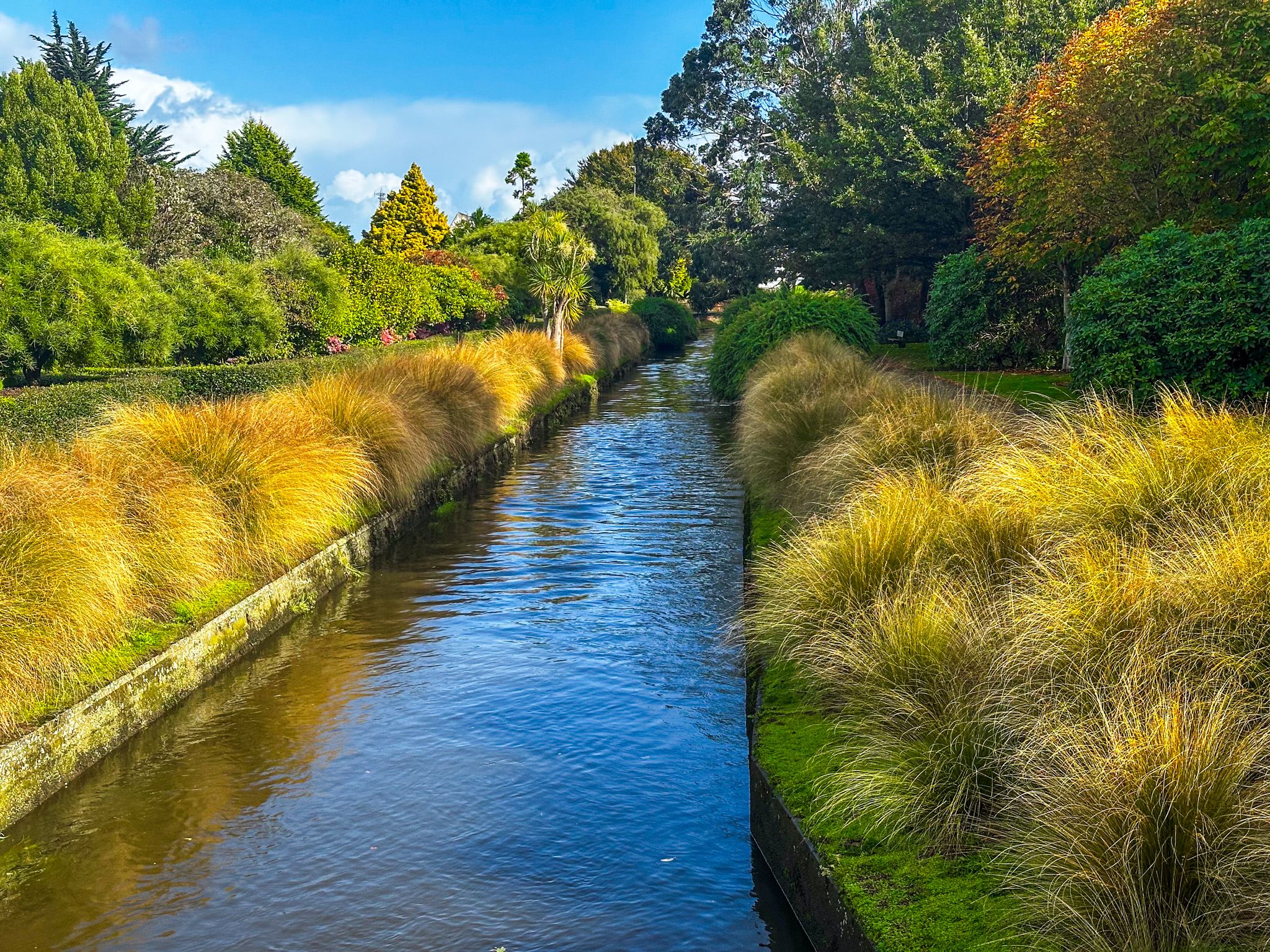
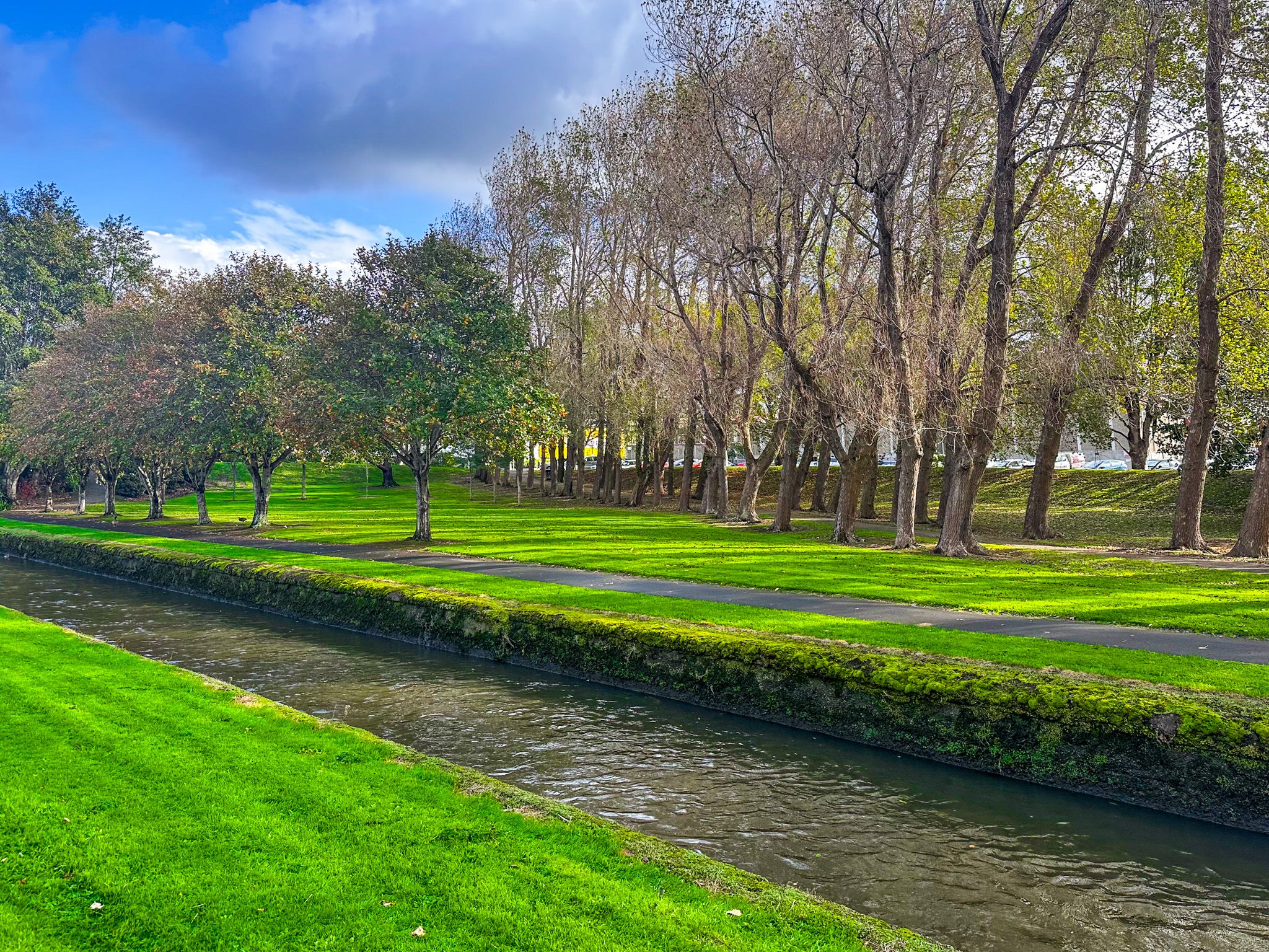
Otepuni Gardens follows the Otepuni Stream northward from Tyne Street to Ness Street, covering 9.4 hectares across four city blocks. It is the oldest public garden in Invercargill, and was the principal town garden until around 1911, when attention shifted to Queens Park.
The stream once carried rowboats transporting goods and passengers through the lower part of town. The main path runs along the stream banks through flower beds, mature trees, and open lawn, with a historic band rotunda at the Tyne Street end. The road bridges crossing the stream along the length of the gardens offer an elevated view back down the stream: the best single perspective on Otepuni Gardens is from one of these crossings.
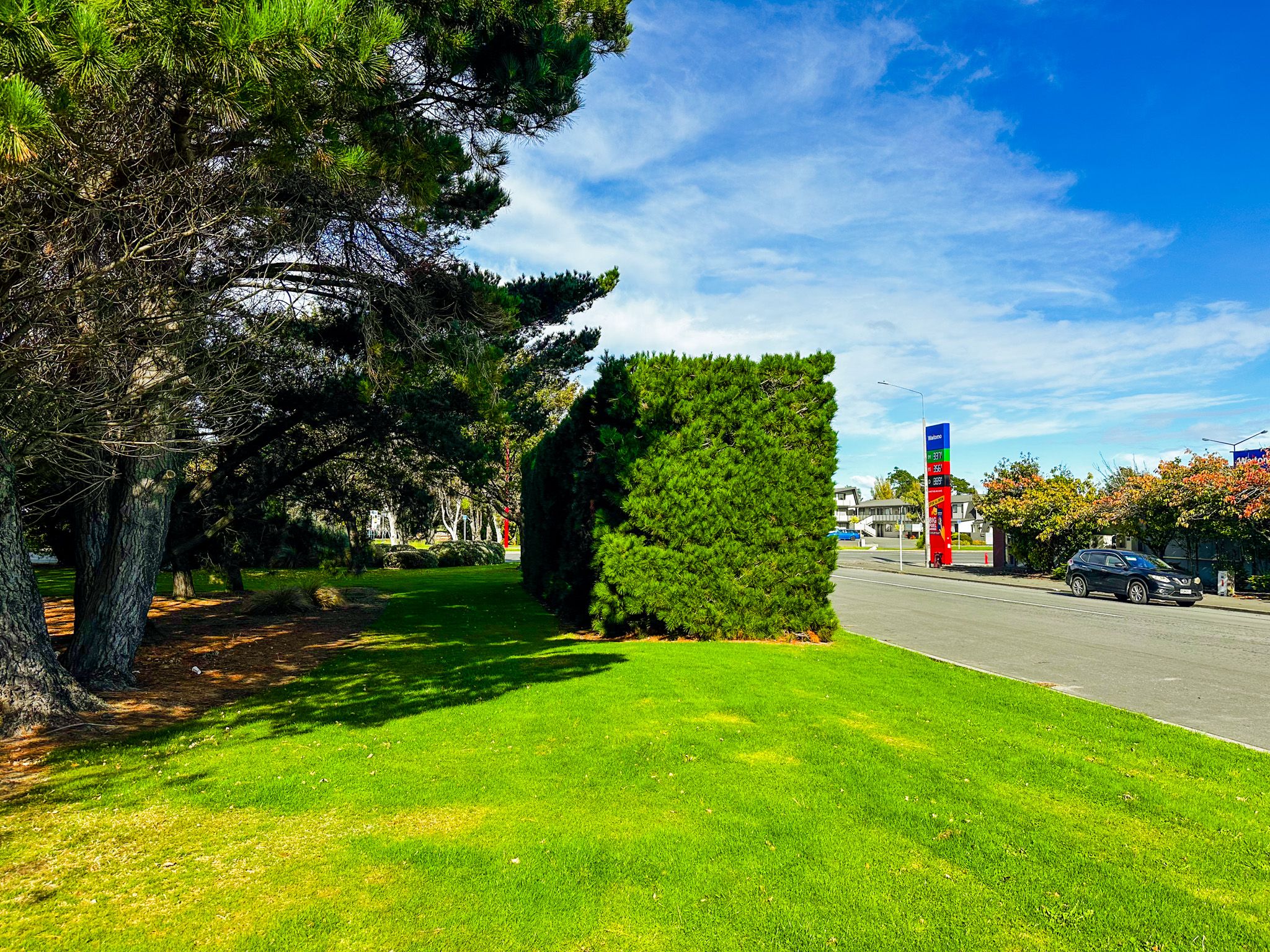
The Nursery Gardens
At the Ness Street end of Otepuni Gardens, the Nursery Gardens occupy the next block to the north, bounded by Ness Street and Elles Road. This mostly tree-shrouded compact reserve, with a skateboard park, provides a transition between the formal gardens and the broader greenbelt to the north. It's worth a brief stop before turning northward toward the main open reserves.

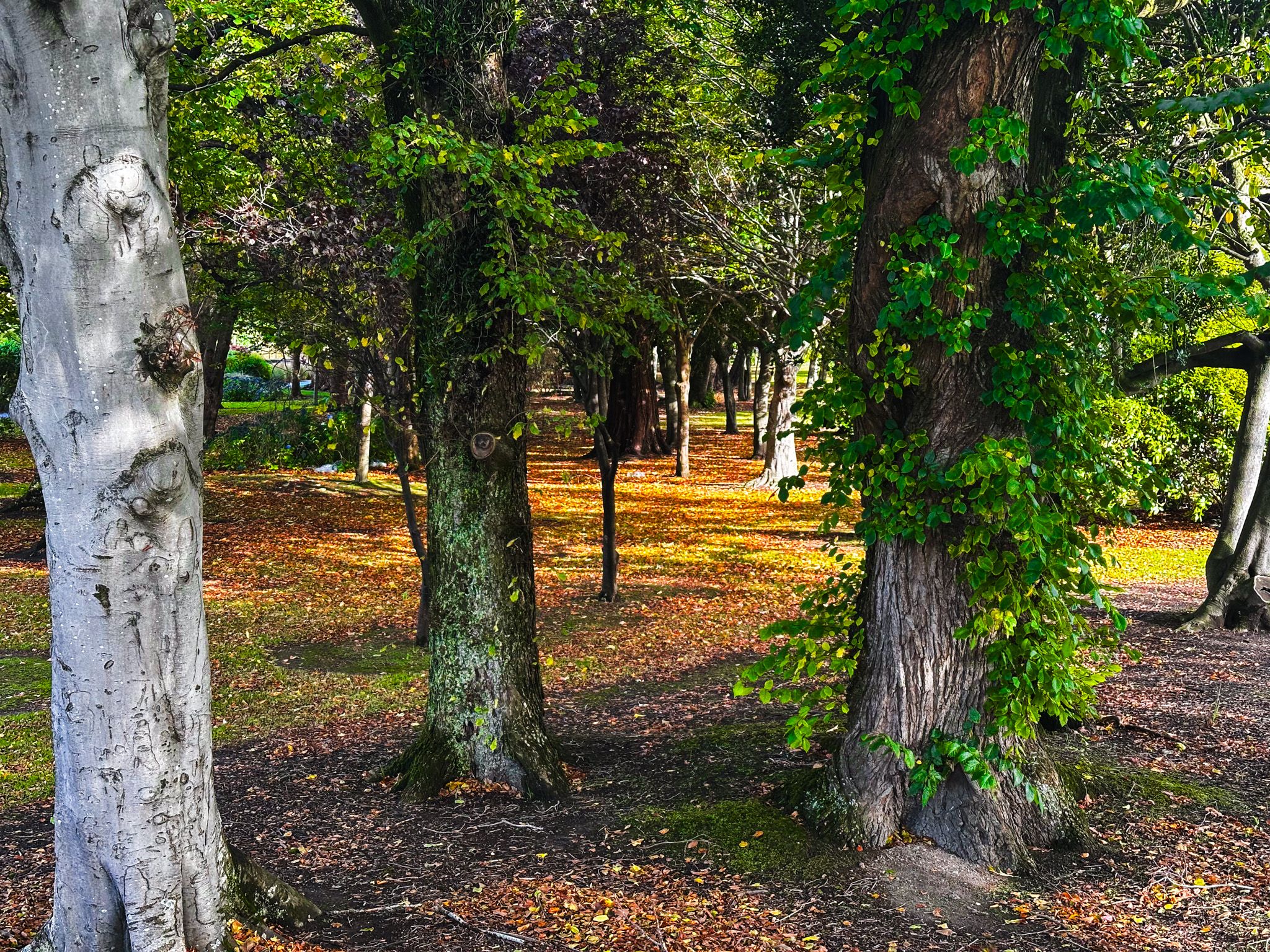

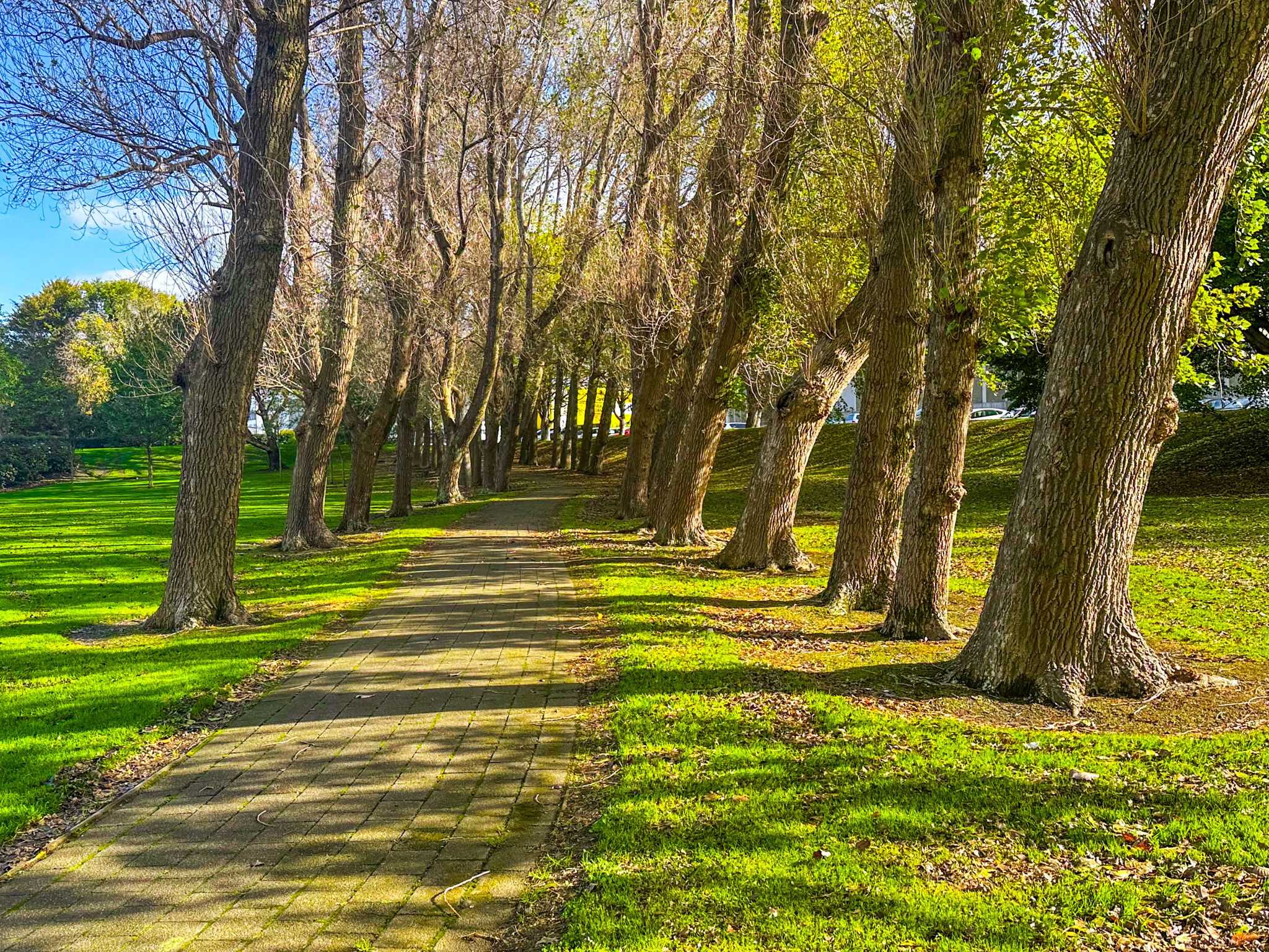
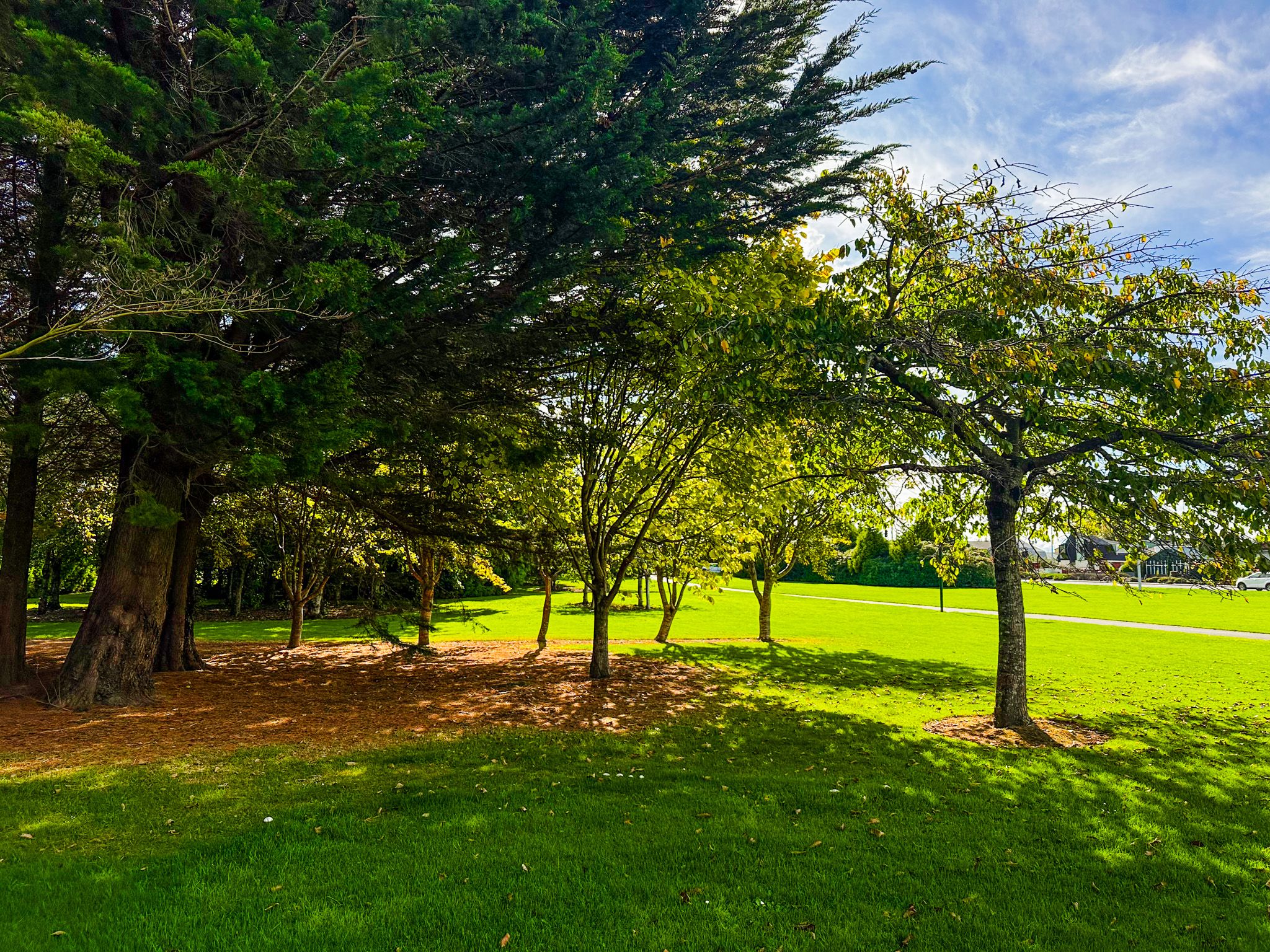
Parks for Families and Picnics
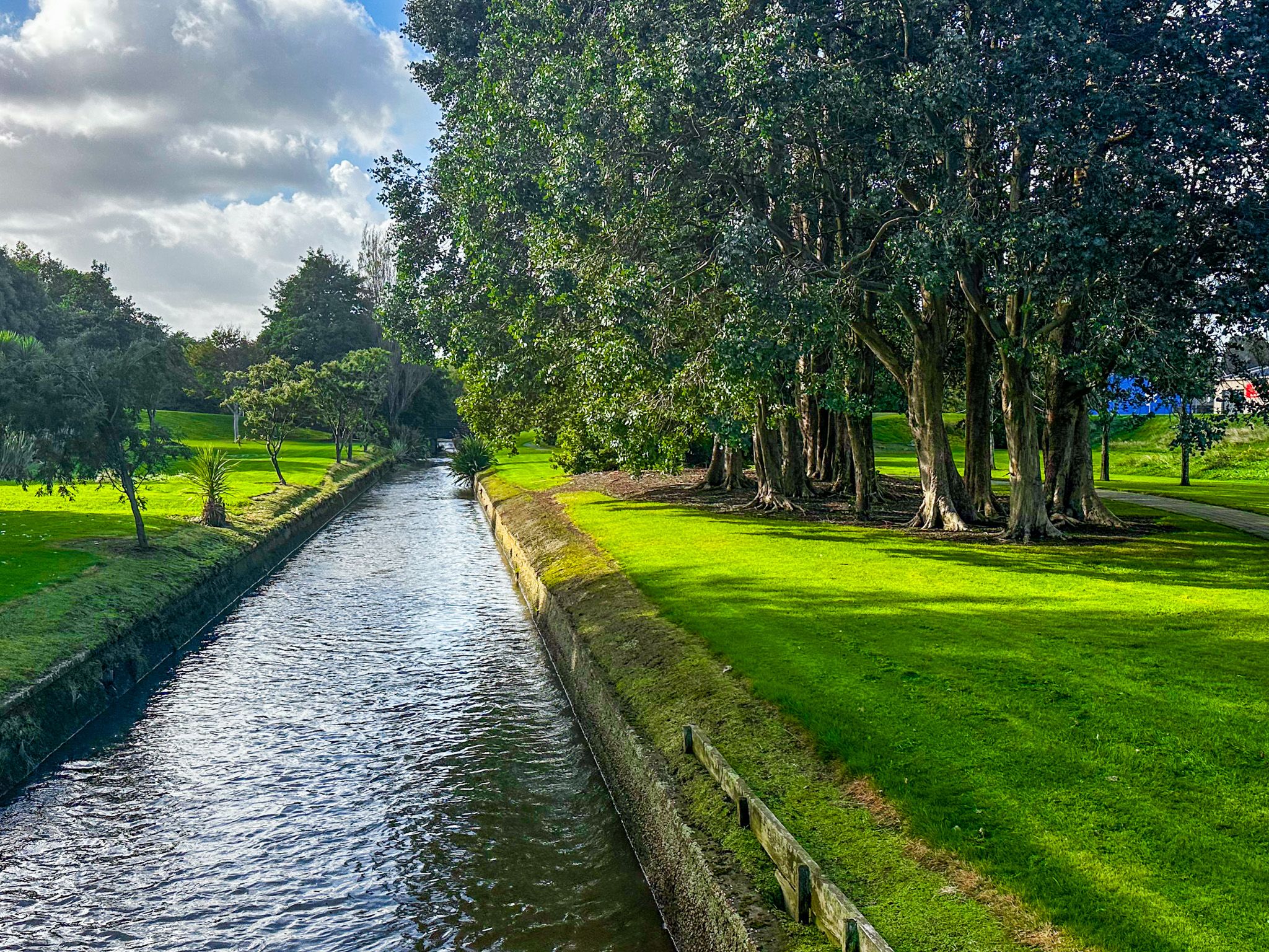
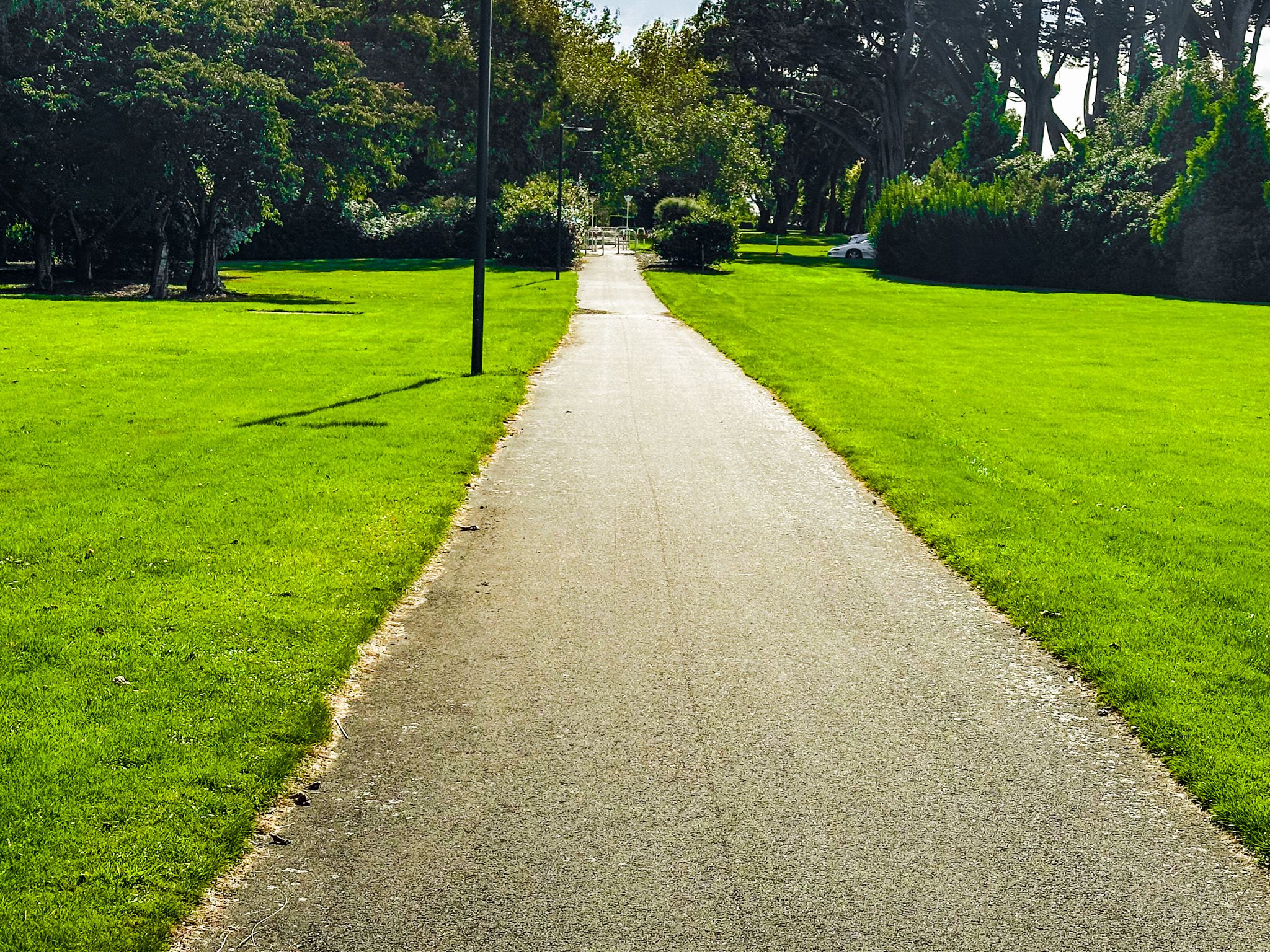
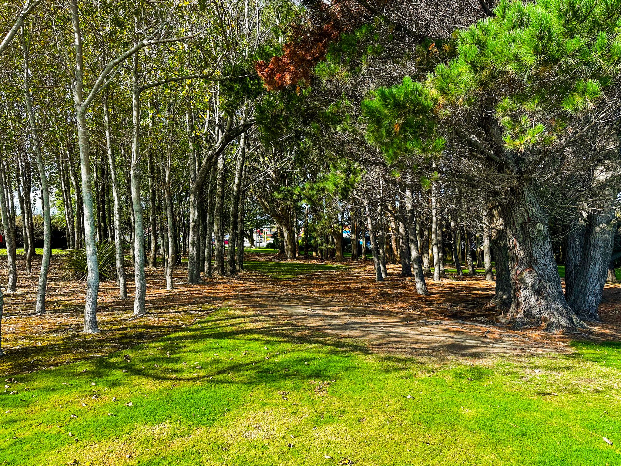
Continuing north from Elles Road, the greenbelt passes through a succession of open reserves that run along and beside Doon Street toward Queens Drive. These parks are grassed and sheltered by large mature exotic trees, oaks, elms, and conifers planted in earlier decades, with substantial canopies.
There are no formal garden features here; the appeal is in the scale of the open lawn, the quality of the shade, and the quietness. These are ideal spots for a family picnic, for children to run, or simply for sitting on the grass away from traffic. The reserves along this section of the greenbelt are regularly used by local families because they provide generous space without the formality of Queens Park.
Our People: Time and Place
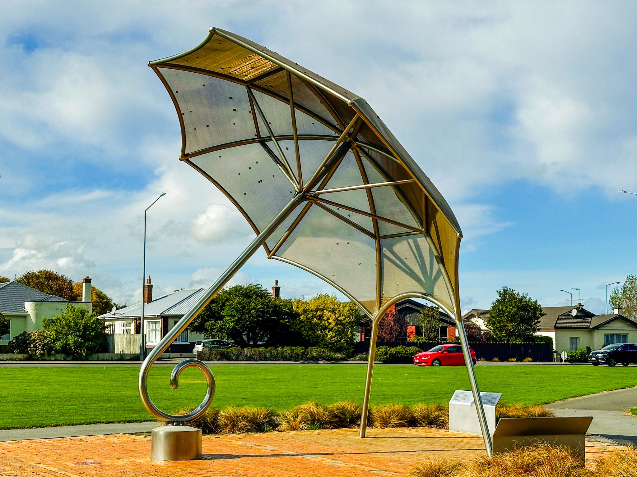
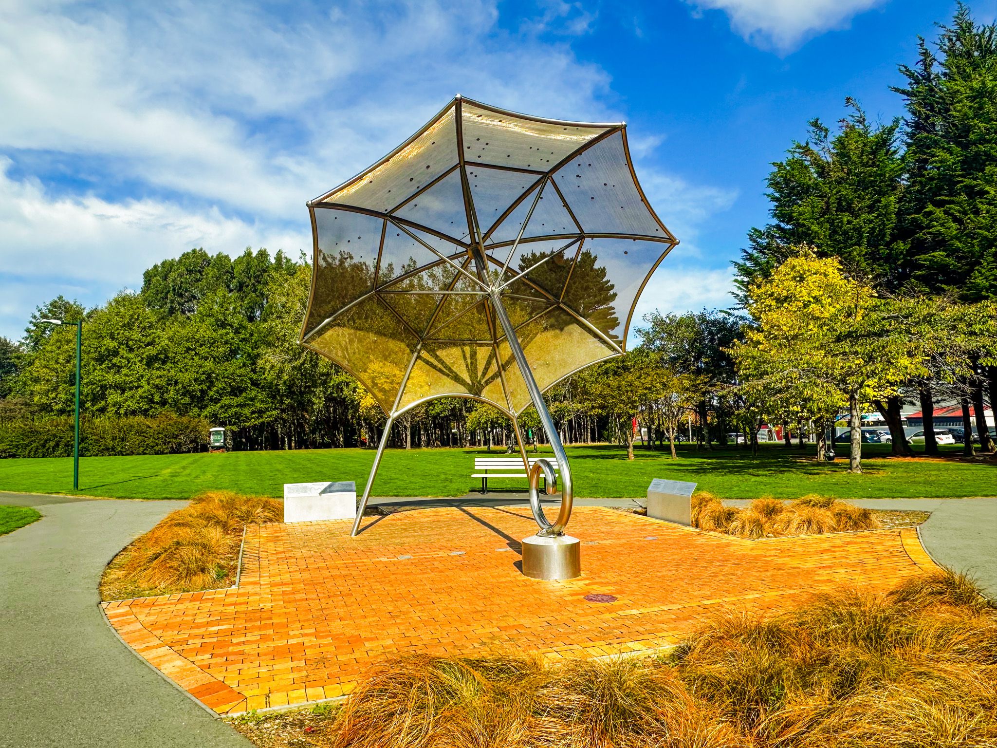
The Umbrella sculpture stands in the Doon Street reserve at the end of Esk Street and is one of the more rewarding stops on the walk. Formally titled Our People: Time and Place, it was created by Invercargill sculptor and Southland Museum director Russell Beck and first installed on Don Street in the city centre on the summer solstice in December 2000. It was relocated to its current site in 2022 when city street upgrades required its removal from Don Street.
The sculpture is both a sundial and an astronomical map: the canopy charts the stars in their midwinter position, and the sun's shadow tracks the time across the surrounding brickwork. The bricks themselves are stamped with the surnames of every person living in Invercargill at the time of the original installation. Beck, who also created the anchor chain sculptures at Stirling Point in Bluff and Rakiura / Stewart Island, described the piece as an embrace of the city's people within their time and place in the universe. The family felt the open parkland location was what he would have chosen from the start.
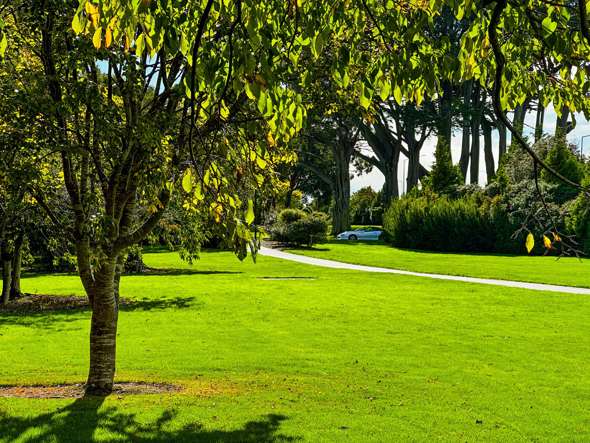
Otakaro Park and the Water Tower
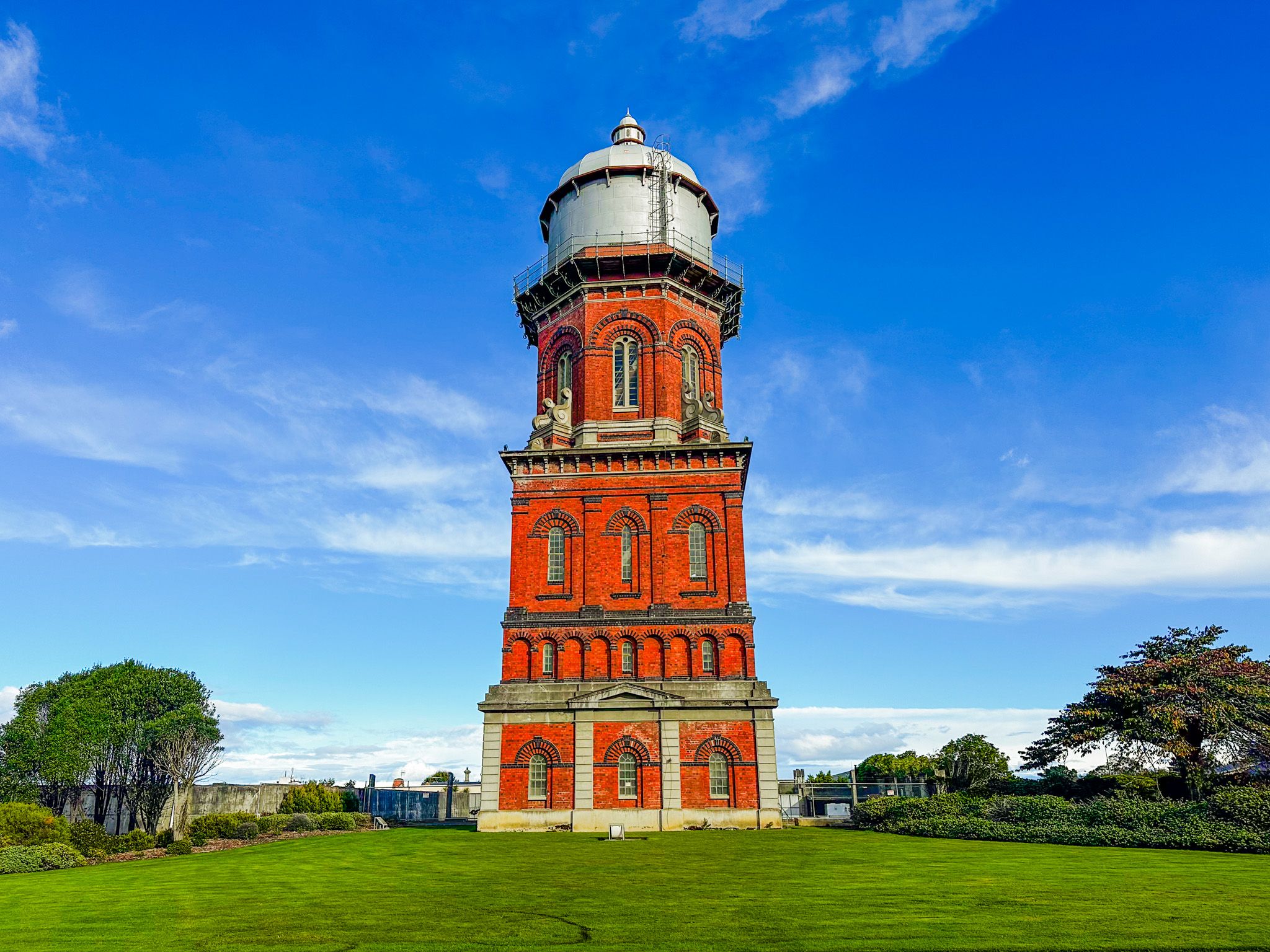
Otakaro Park lies north of the Umbrella, occupying the block between Queens Drive, Doon Street, Yarrow Street, and Don Street. It is an open lawn and tree reserve, used as a peaceful cut-through and a resting spot on the route north. The flower beds along the Queens Drive frontage provide seasonal colour, and from this point, the Water Tower becomes visible on Doon Street, drawing the eye upward.
The Invercargill Water Tower was completed in 1889, rises 42 metres, and was built from approximately 295,000 locally made red bricks. Designed by the Borough Engineer to increase water pressure across the expanding town, it was decommissioned in 1943 but preserved intact by Heritage New Zealand. It is not accessible internally, but the exterior is accessible. Just beyond the Tower are several large water tanks.
Queens Park
Queens Park marks the northern boundary of the greenbelt. Mostly formal in character and well-maintained, the gardens provide a composed finish to the route, with the stumpery and the animal reserve of Queens Park a short walk further inside the park boundary.


How to Get There
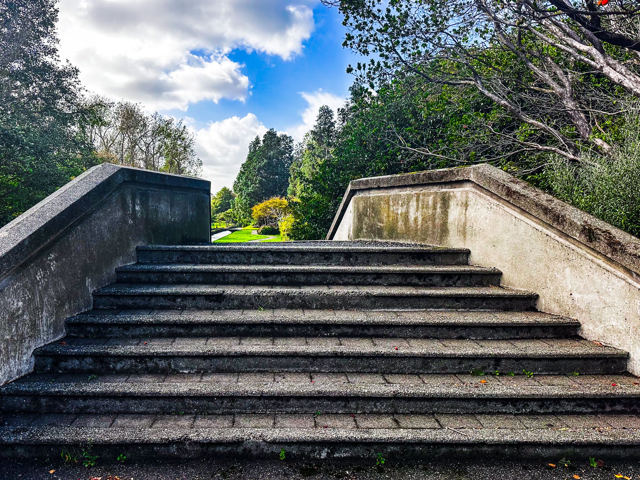
The walk begins at the corner of Clyde Street and Wood Street, a very short walk south from the intersection of Dee Street and Tay Street. Street parking is available on the main streets and the surrounding blocks. The full walk to Queens Gardens is 2.0 km and takes around 35 minutes at a relaxed pace. There are a few steps to get down to Otepuni Gardens, which are below street level.
You can easily add the walk to an exploration of the city centre’s outdoor murals and artworks. Other nearby places to visit include Anderson Park, Thomsons Bush and Bill Richardson Transport World, with Oreti Beach a bit further away.