The Best-Preserved Headland Pā in Auckland
Pāwhetau Pā sits on Pāwhetau Point within Waitawa Regional Park, on the Tāmaki Strait in southeast Auckland. It has been described by archaeologists as the finest example of a headland pā in Auckland: a large, complex fortification with multiple defensive ditches and terraces, much of it still intact under the grassy headland. The visit requires little effort and provides a vivid impression of pre-European Māori fortifications and the park's best coastal views.
Walking to the Pā
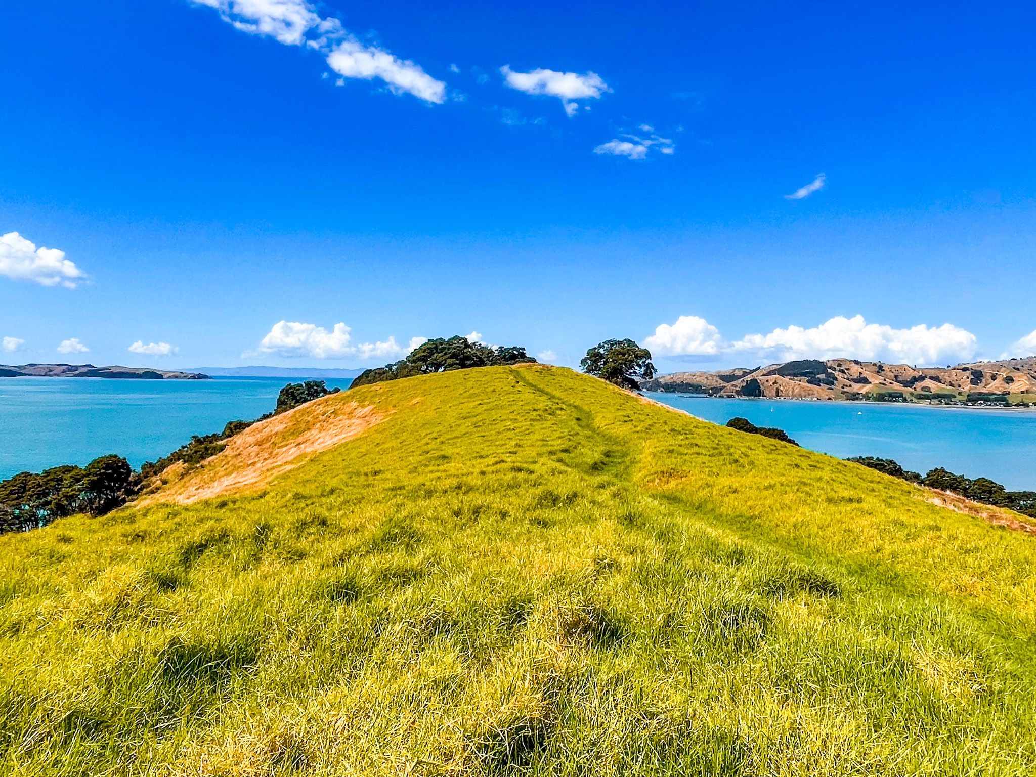
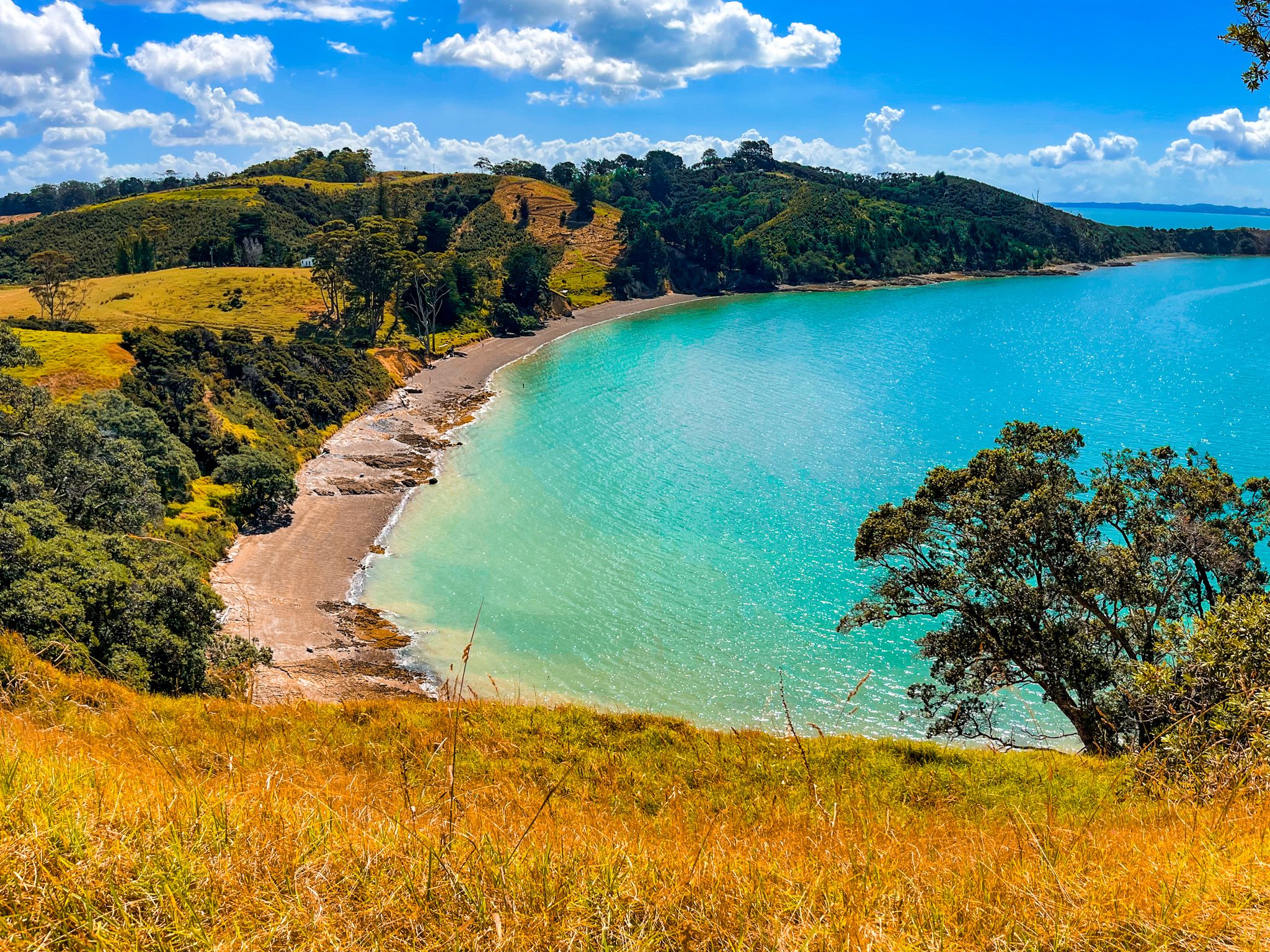
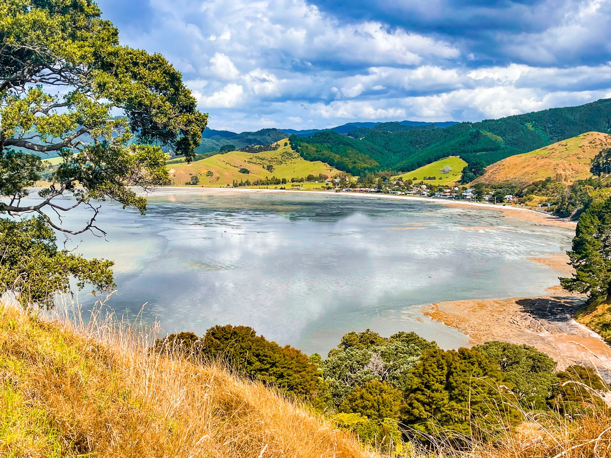
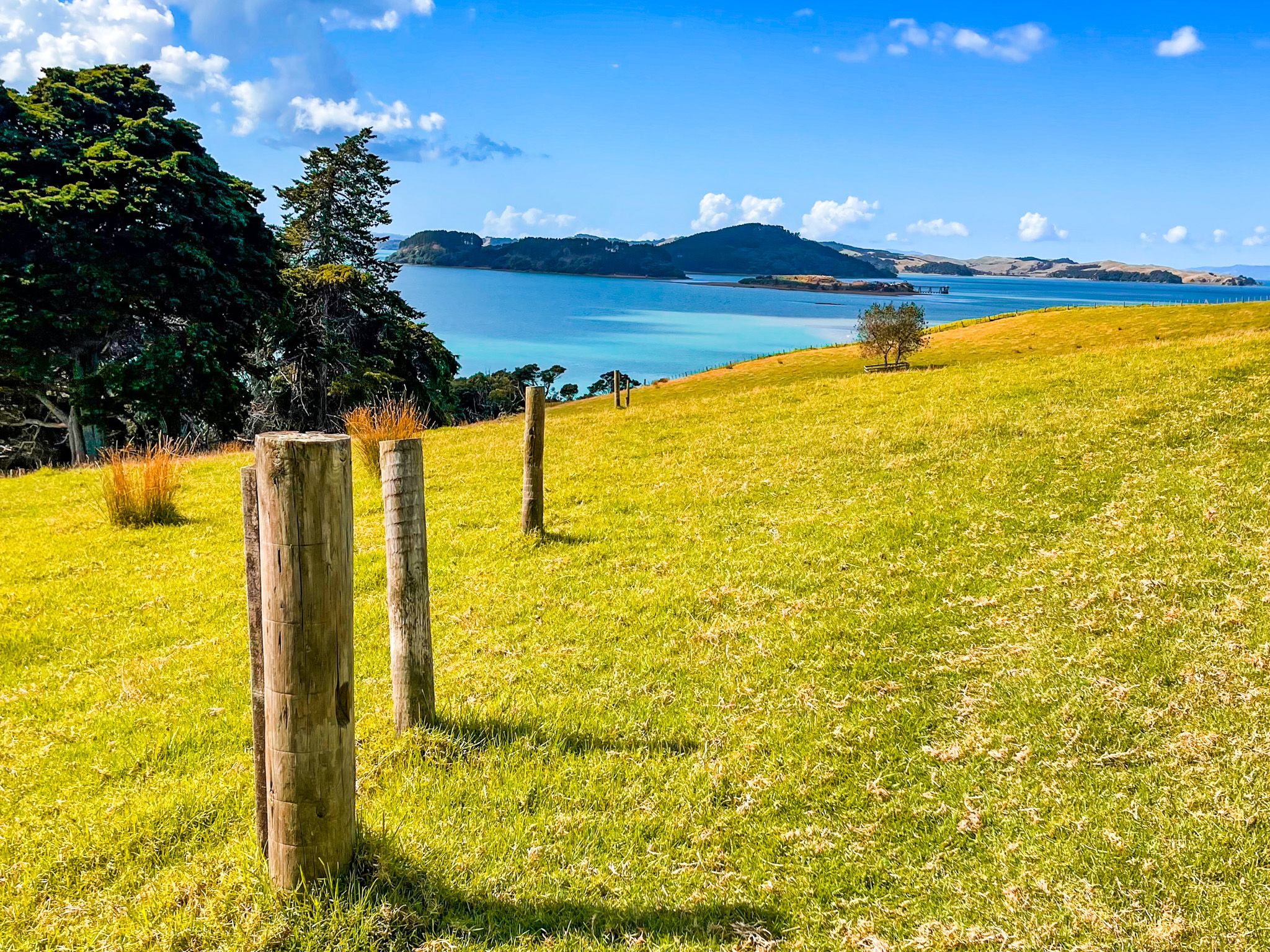
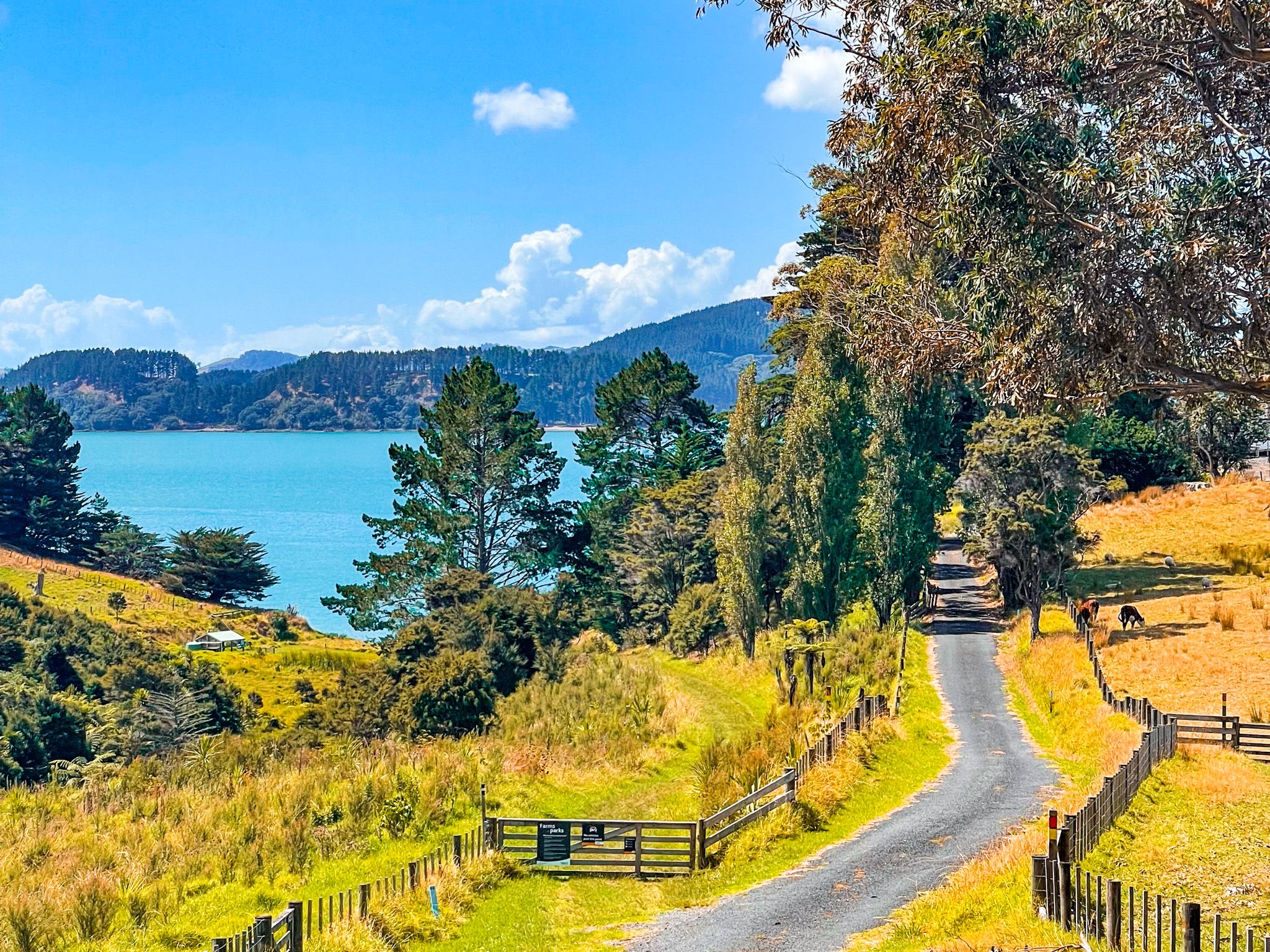
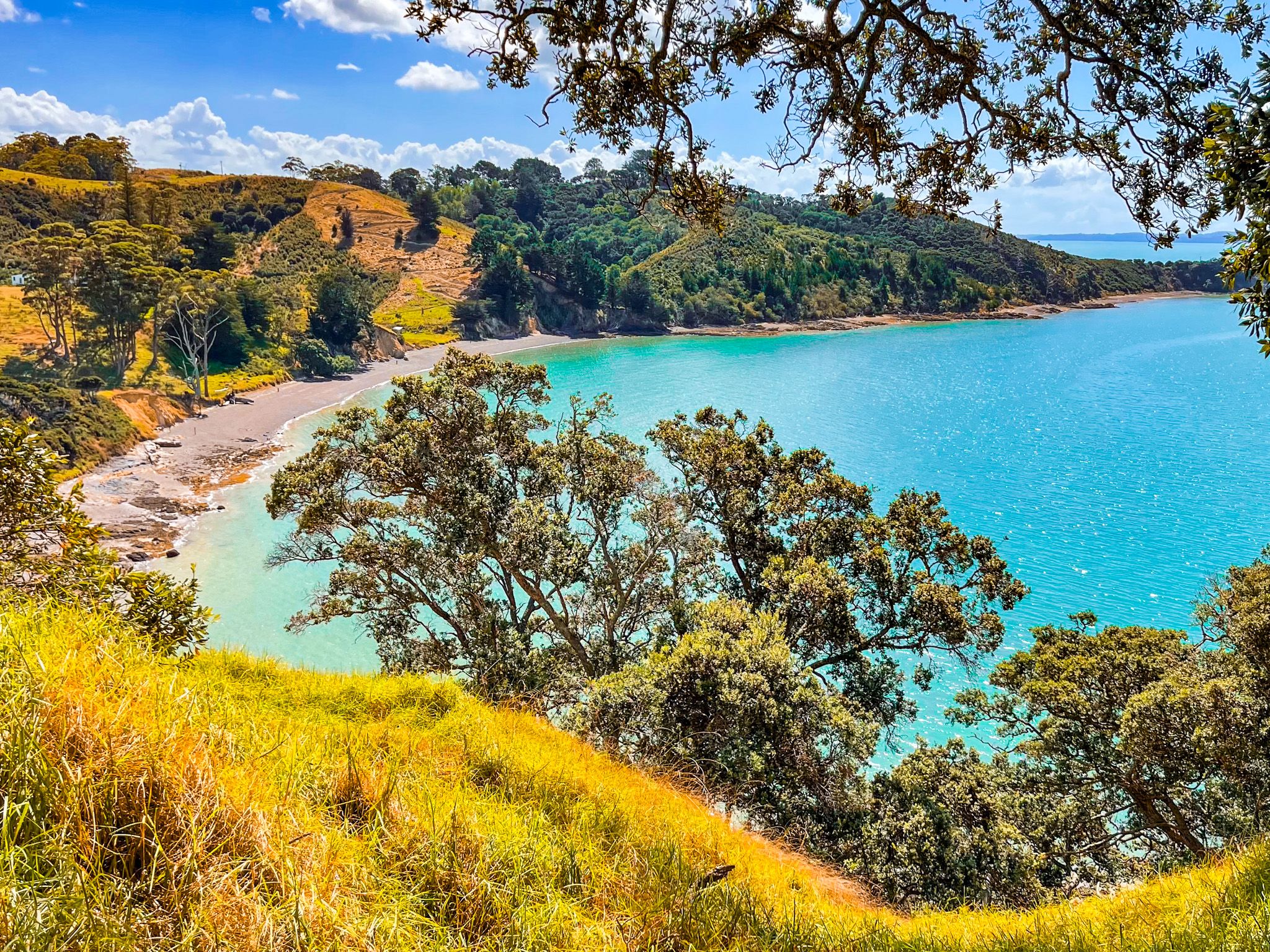
You can start the track to Pāwhetau Pā from the park entrance gate (the Yellow markers), to the right of the main road as you enter. From the gate, the path crosses a flat paddock for approximately one kilometre before ascending to the pā site. You can also take the side access road towards Waitawa Bay and start the track from there. This approach provides quite dramatic views over Waitawa Bay. Overall, the easy walk across grass, with a mostly gentle climb, takes about an hour, including time to explore the pā on the headland.
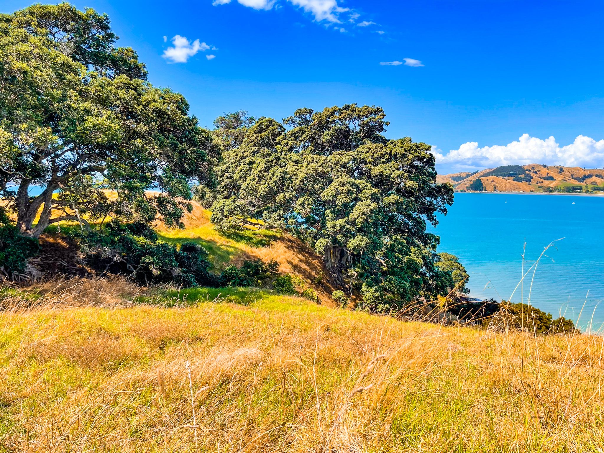
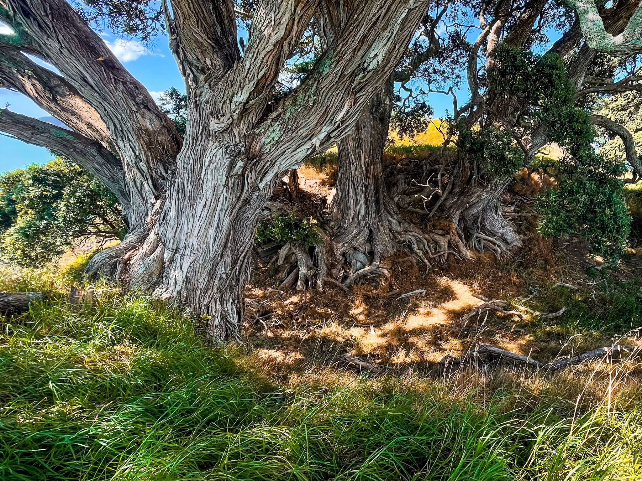
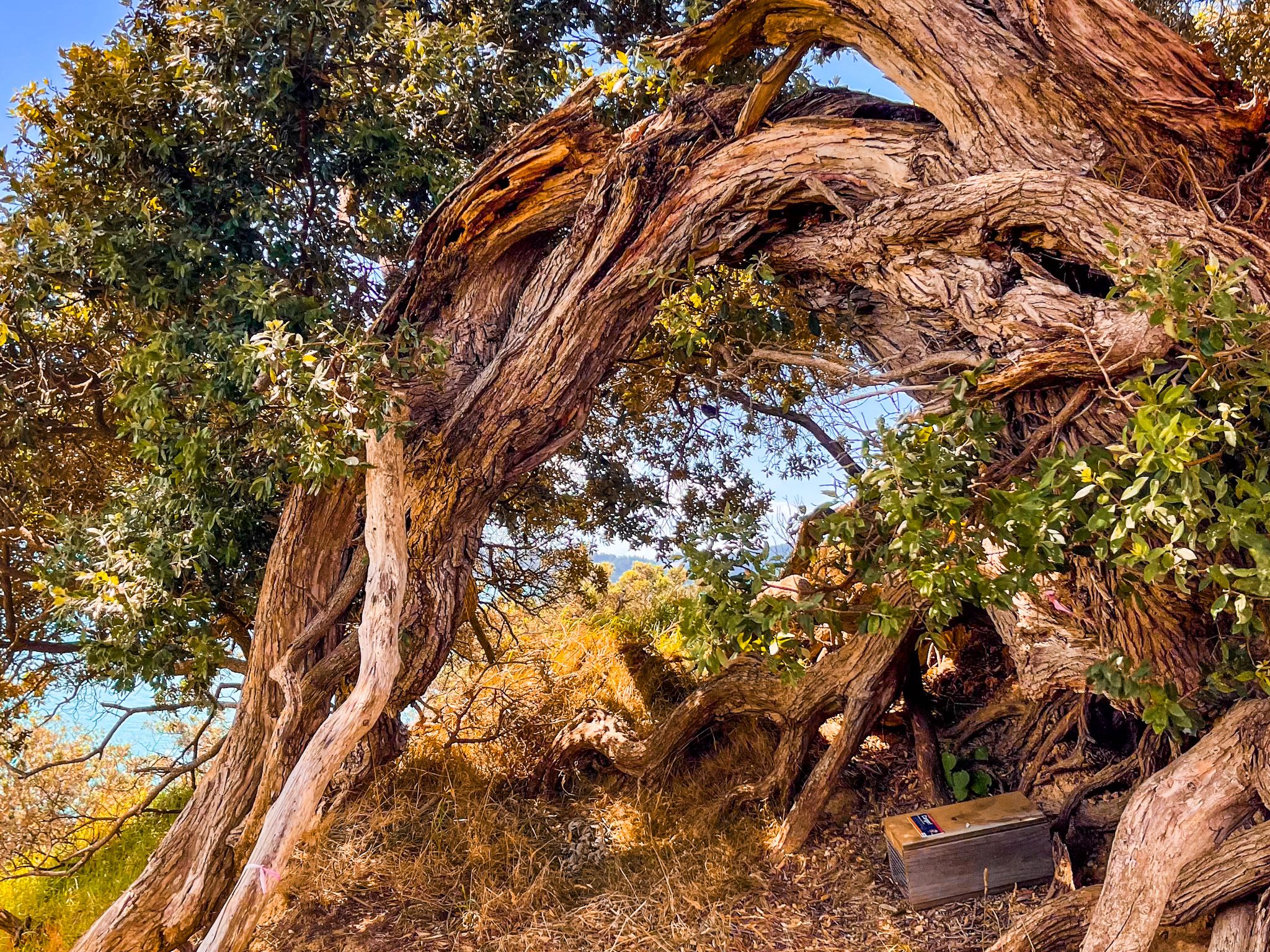
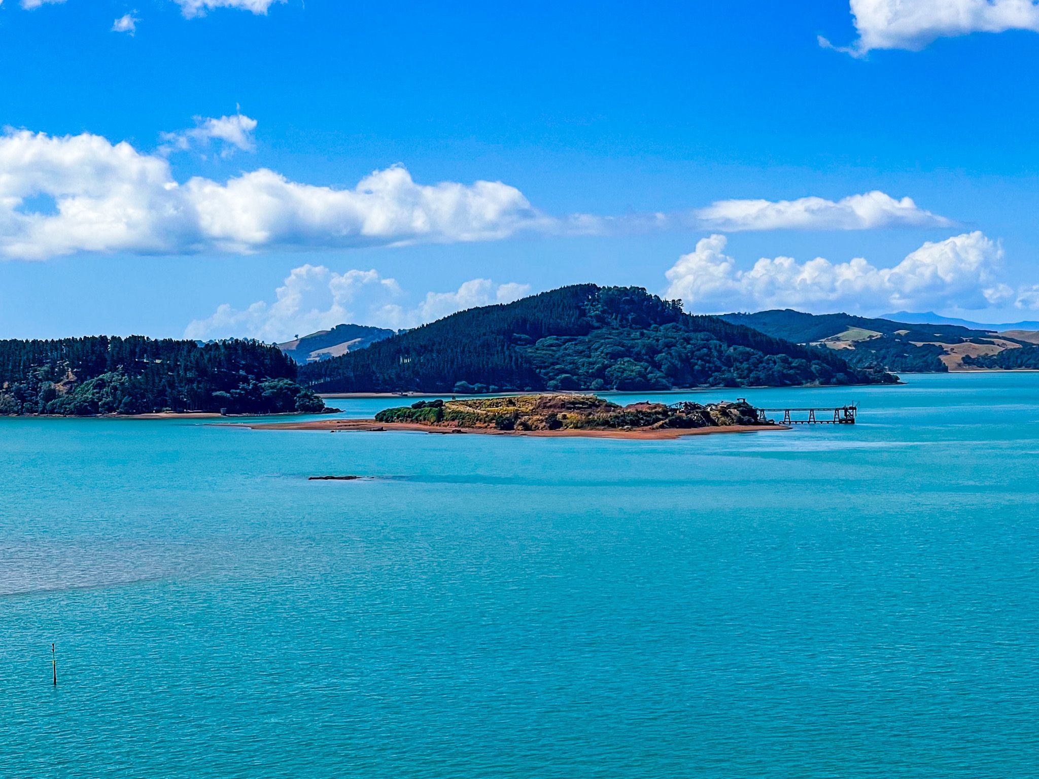
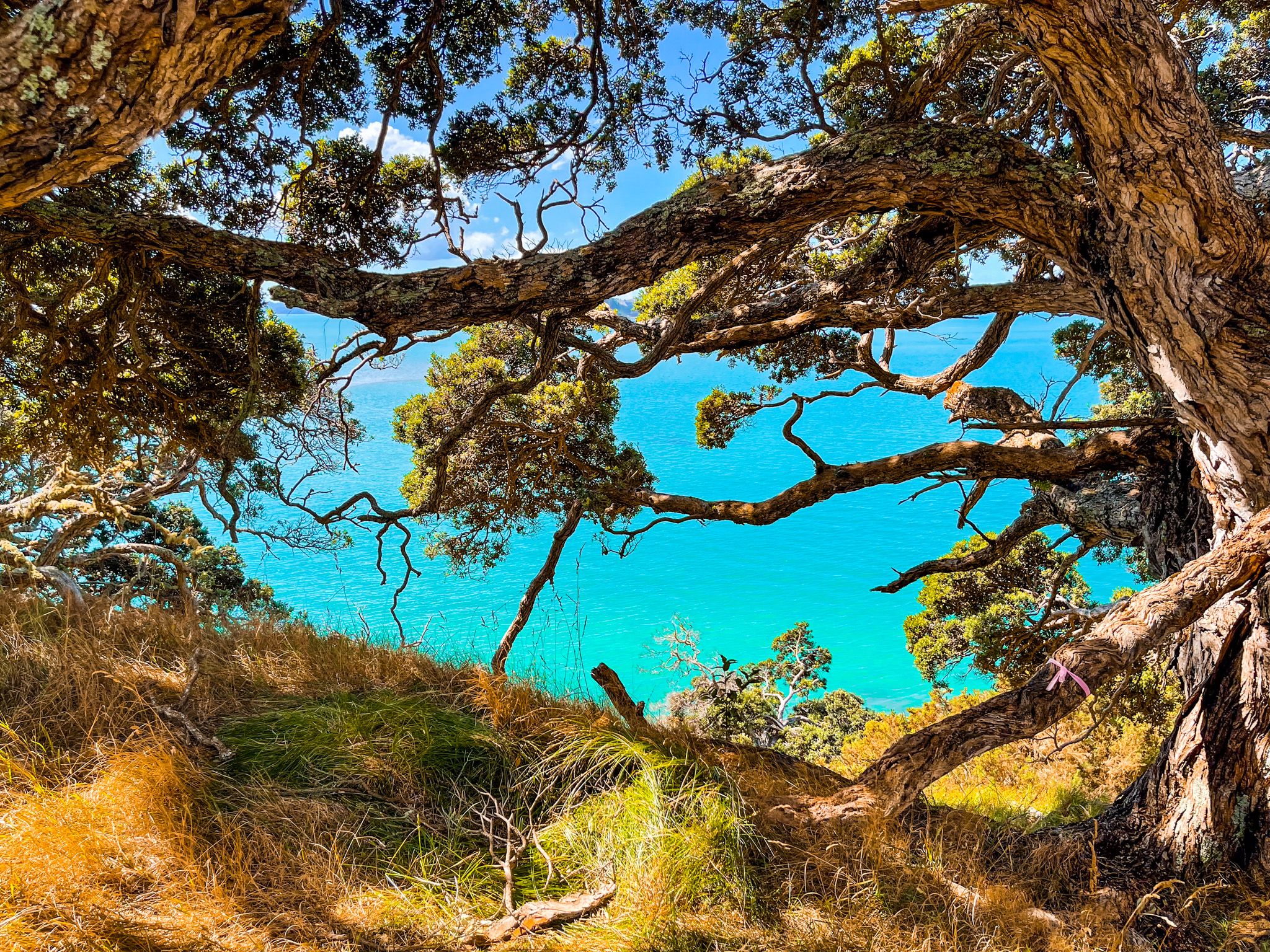
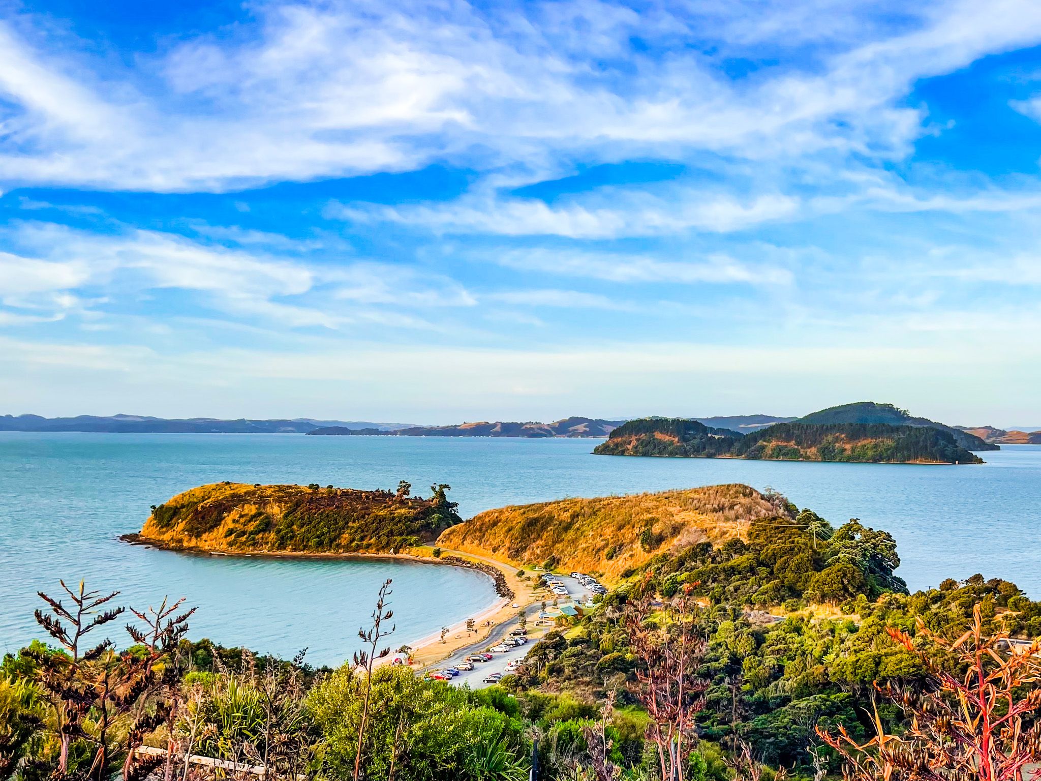
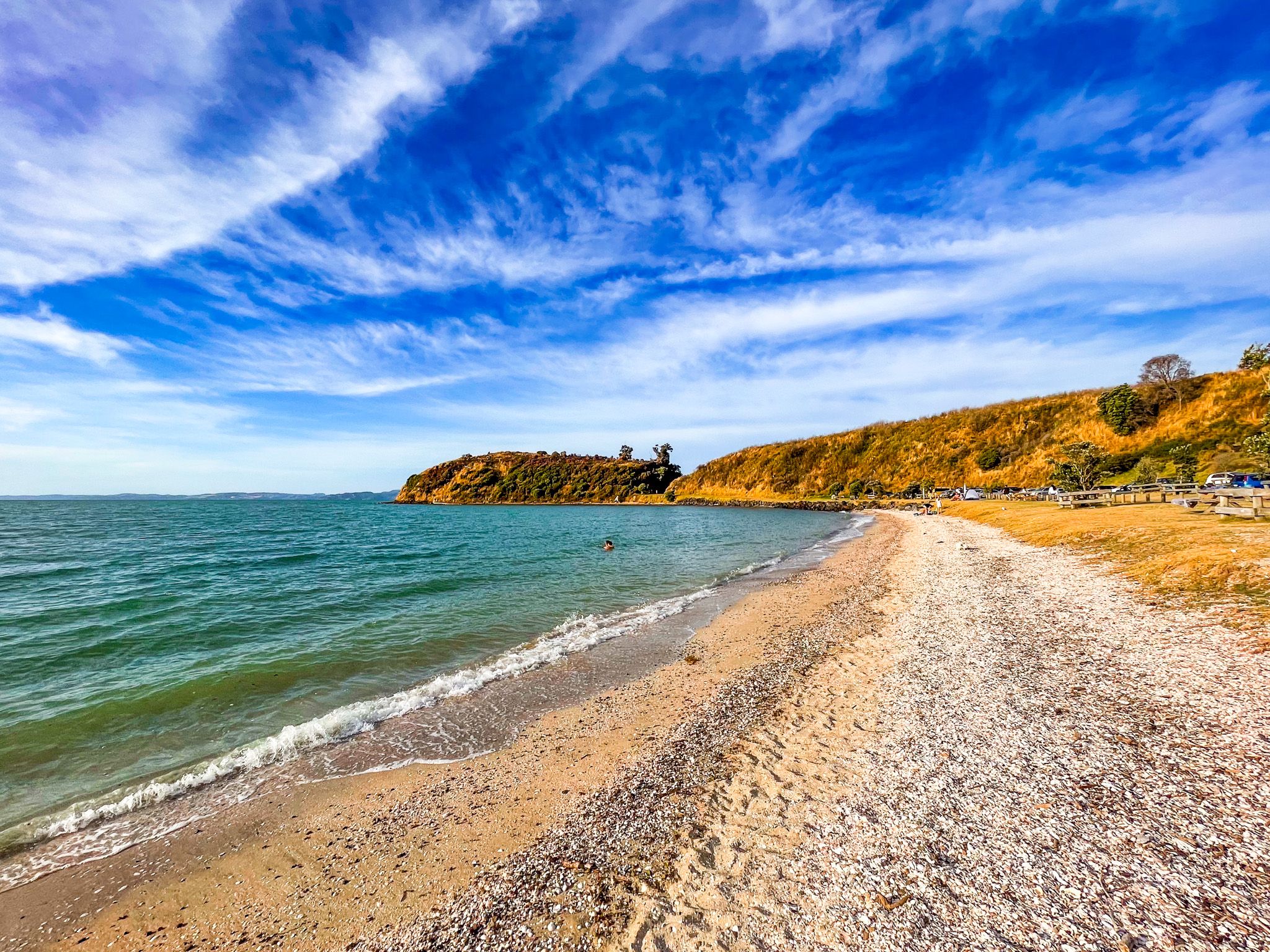
The track crosses a paddock towards the headland. As you approach the peak, the fortifications, including multiple defensive ditches cutting across the headland, are clearly visible above the grass. The flat-topped summit has a 360-degree outlook: Kawakawa Bay to the east, Waitawa Bay below to the west, and the Gulf Islands arrayed to the north: Karamuramu, Pakihi, Ponui, and Waiheke. The big, gnarled pōhutukawa, especially along the edge of the cliffs above Kawkawa Bay, are also a feature and provide shelter for a picnic.
History and Significance
The pā is believed to have been occupied by Te Urikaraka of Ngāti Pāoa. The scale of its fortifications suggests it was a major population centre. Its position commanding views of the strait in both directions would have made it strategically valuable.
How to Get There
From Downtown Auckland, take the southern motorway south, exit at Hill Road, then head east-northeast via Hill Road, Stratford Road, Alfriston Road, Alfriston-Ardmore Road, Clevedon-Takakani Road, and Clevedon-Papakura Road to Clevedon. From Clevedon, follow the Clevedon-Kawakawa Road east toward Kawakawa Bay, with the park entrance before the bay. The main car park at Mātaitai Bay is reached by following the main access road down to the bay. The drive takes around 70 minutes and is 52 km.
Nearby places to visit include Kawakawa Bay Coast Road, Tawhitokino Beach, Ōrere Point and Tāpapakanga Regional Park further south along the coast.