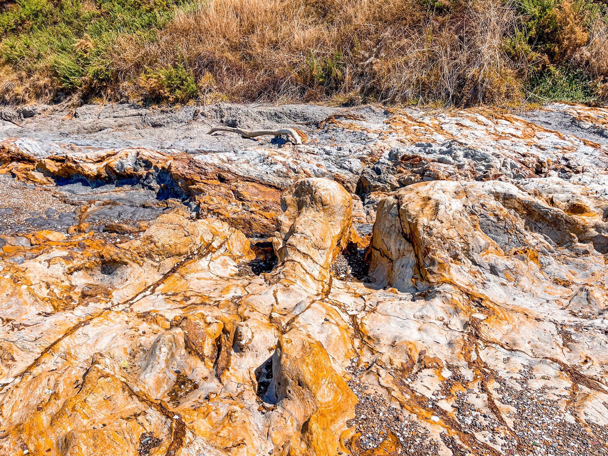
Beaches, Pā Sites and Views
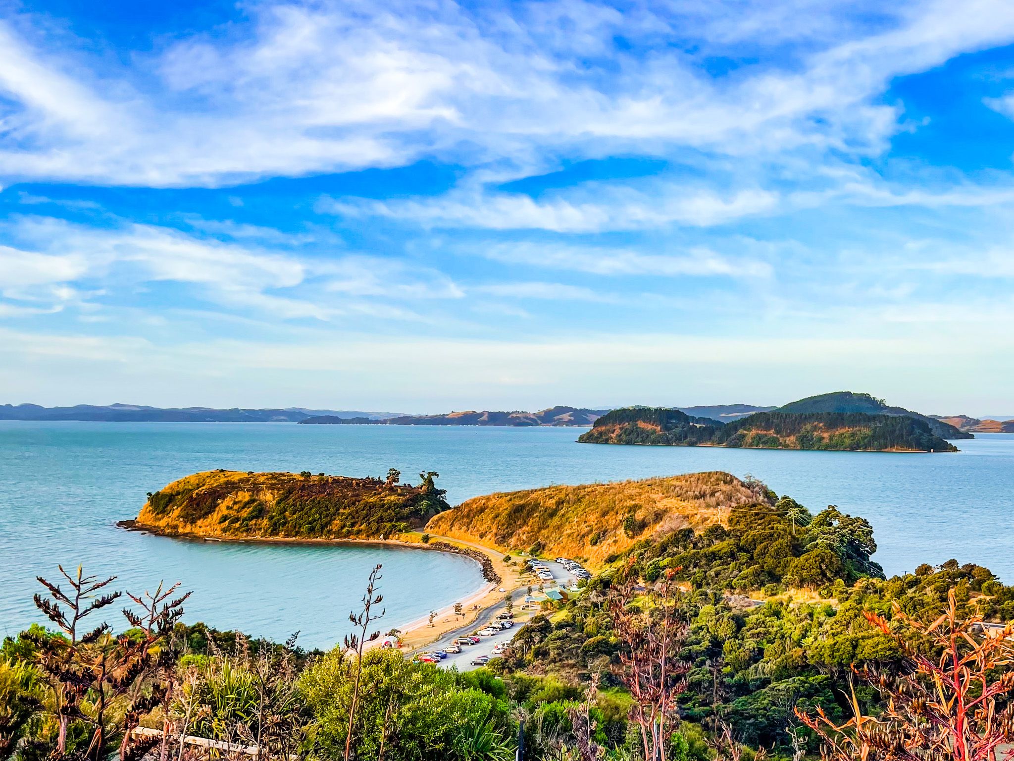
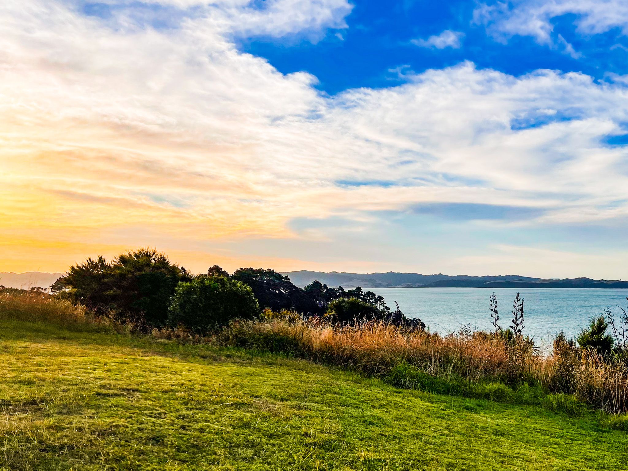
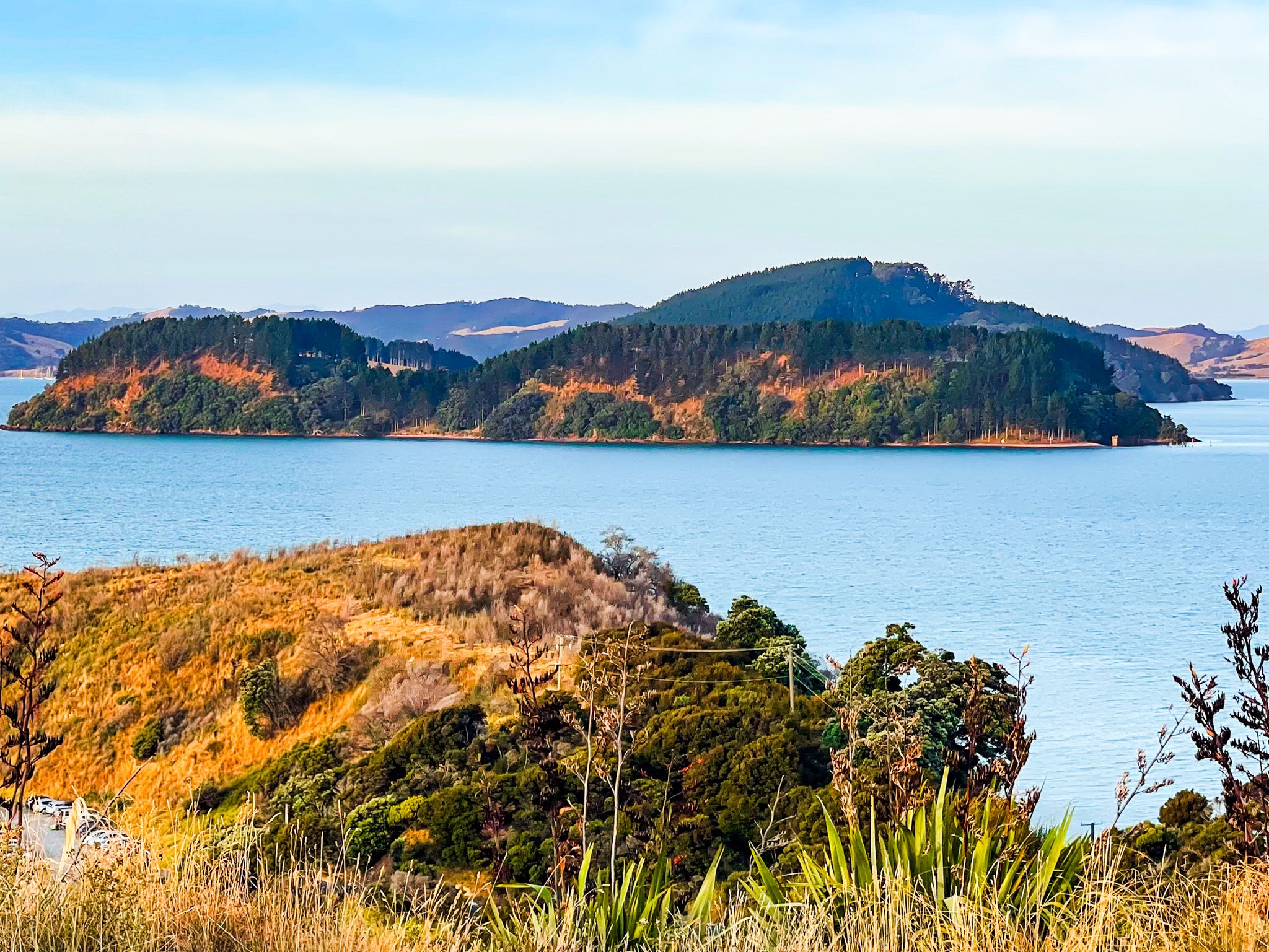
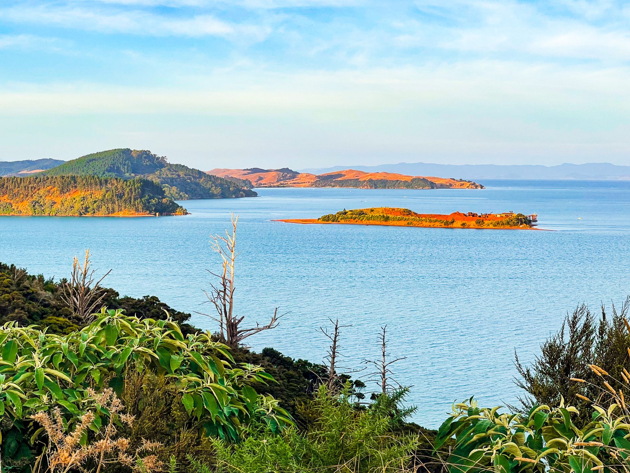
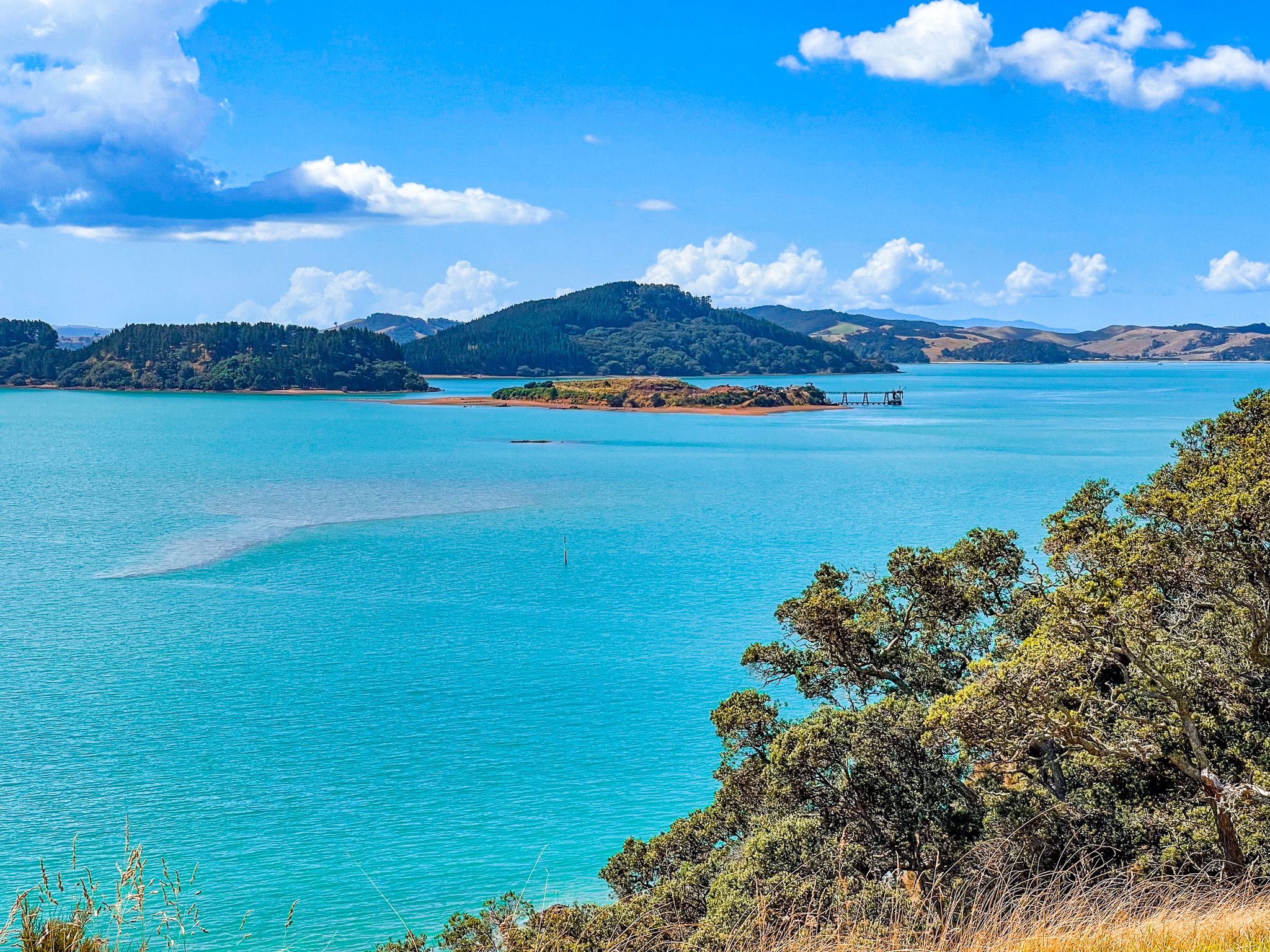
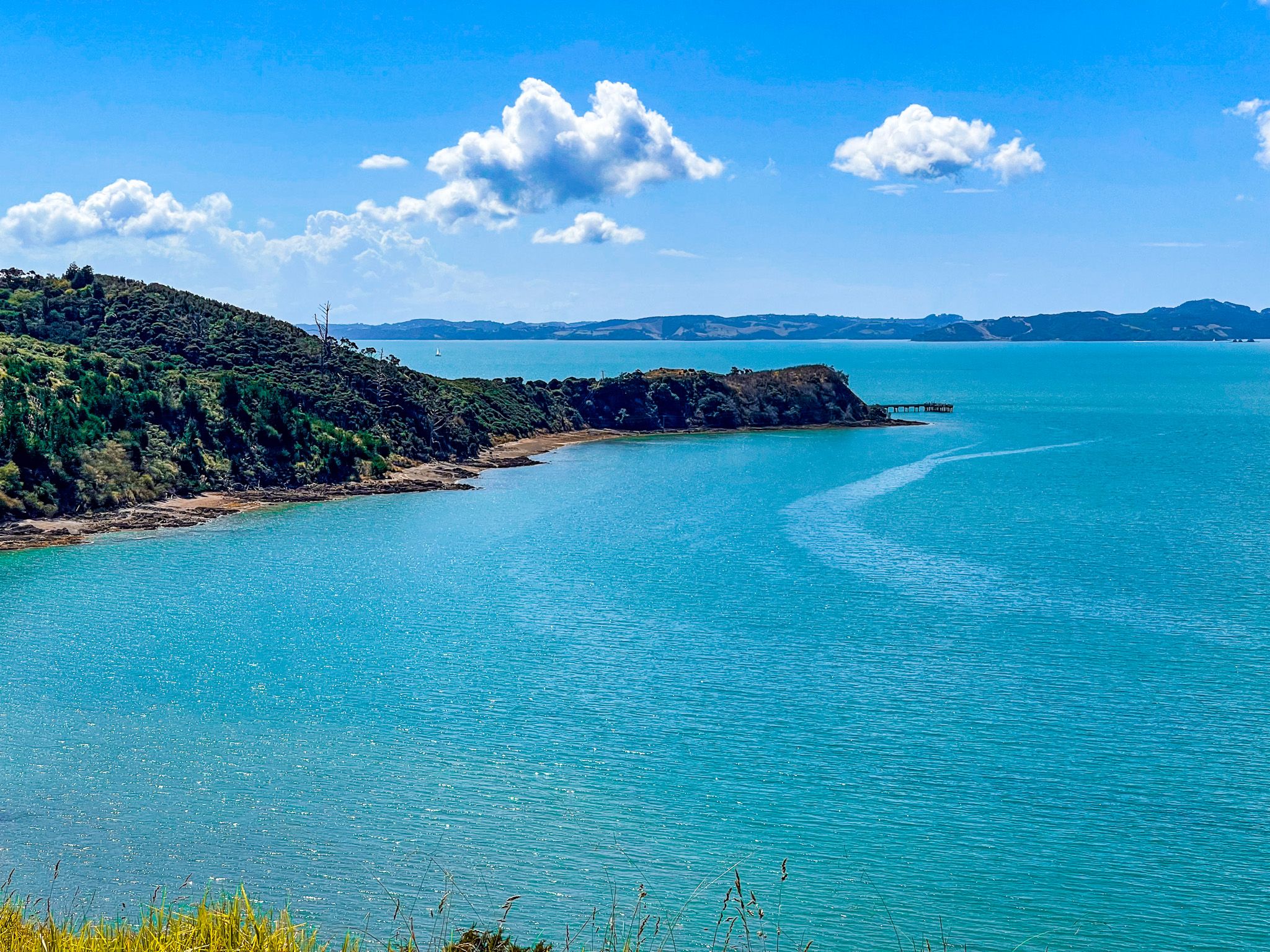
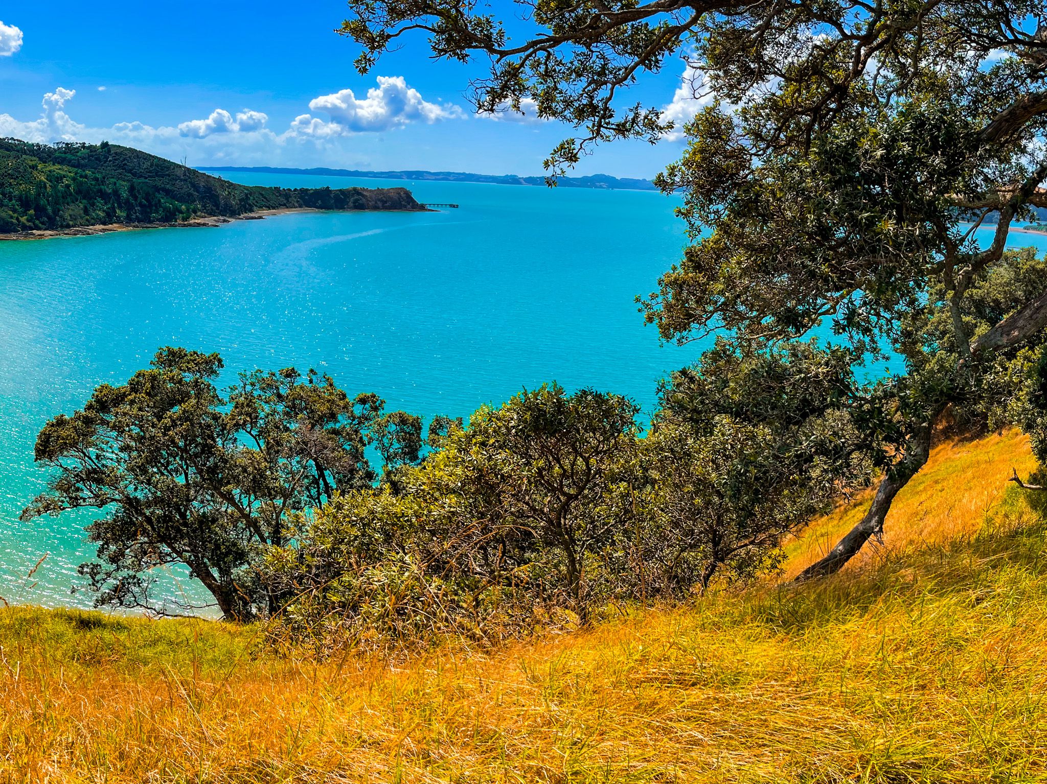
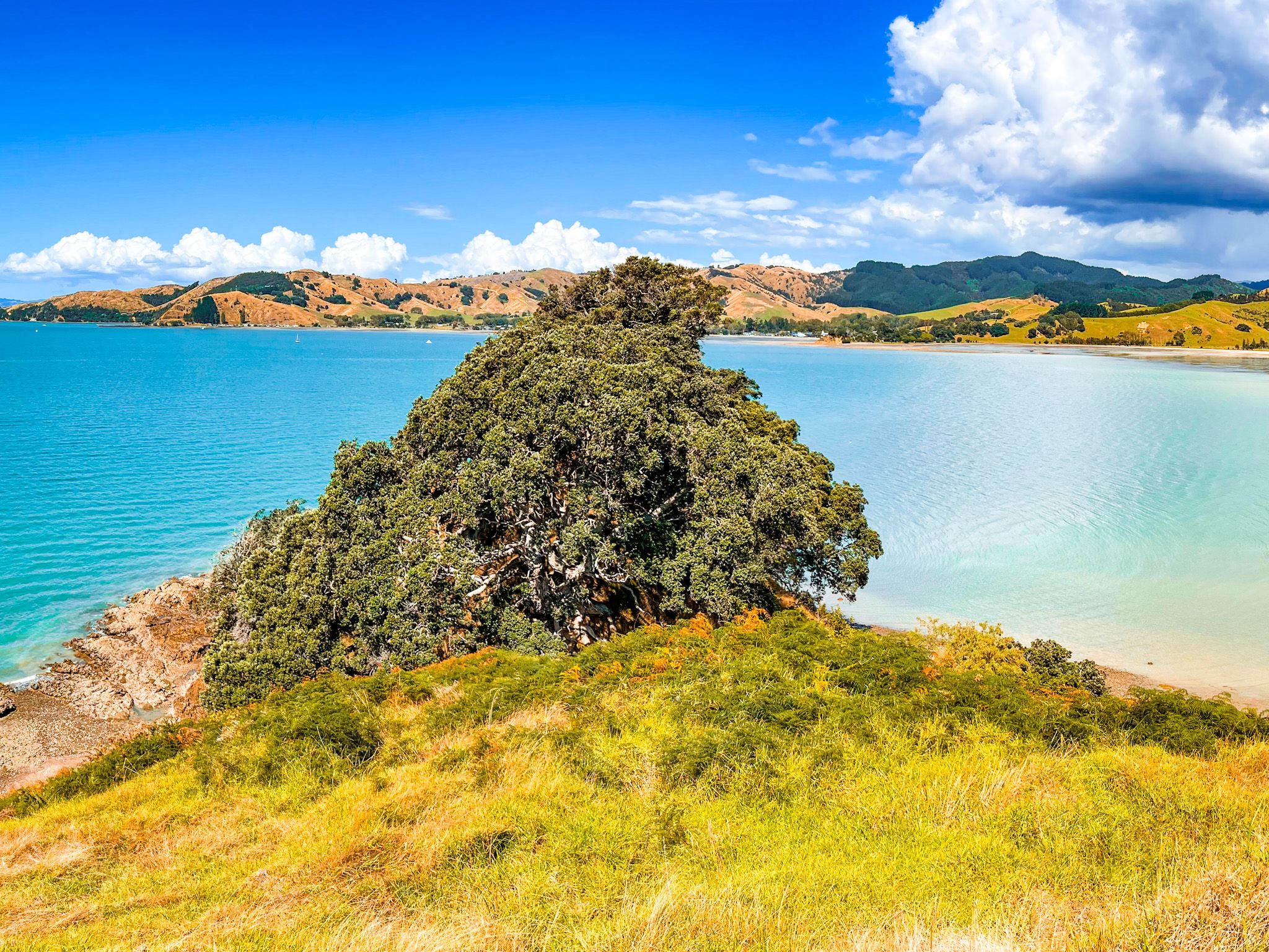
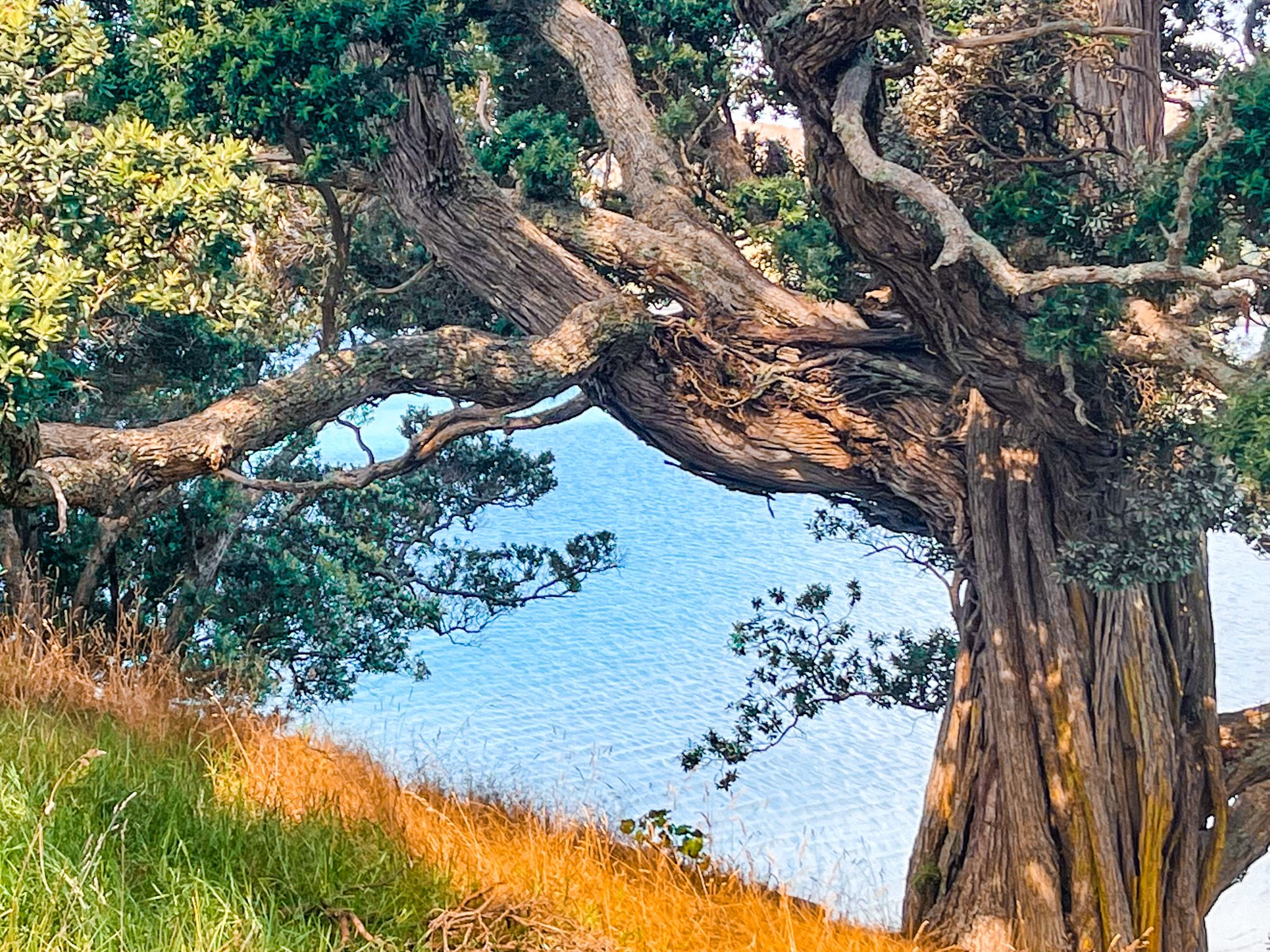
Waitawa Regional Park sits on the Tāmaki Strait in southeast Auckland, just west of Kawakawa Bay and 10 minutes from Clevedon. The park occupies 188 hectares across three points, Mātaitai, Kōherurahi and Pāwhetau, that project into the strait, with two sandy bays, Mātaitai and Waitawa. The views across the water to Waiheke, Ponui, Pakihi and Karamuramu islands, with the Coromandel Peninsula visible on the horizon, are superb.
History of the Park
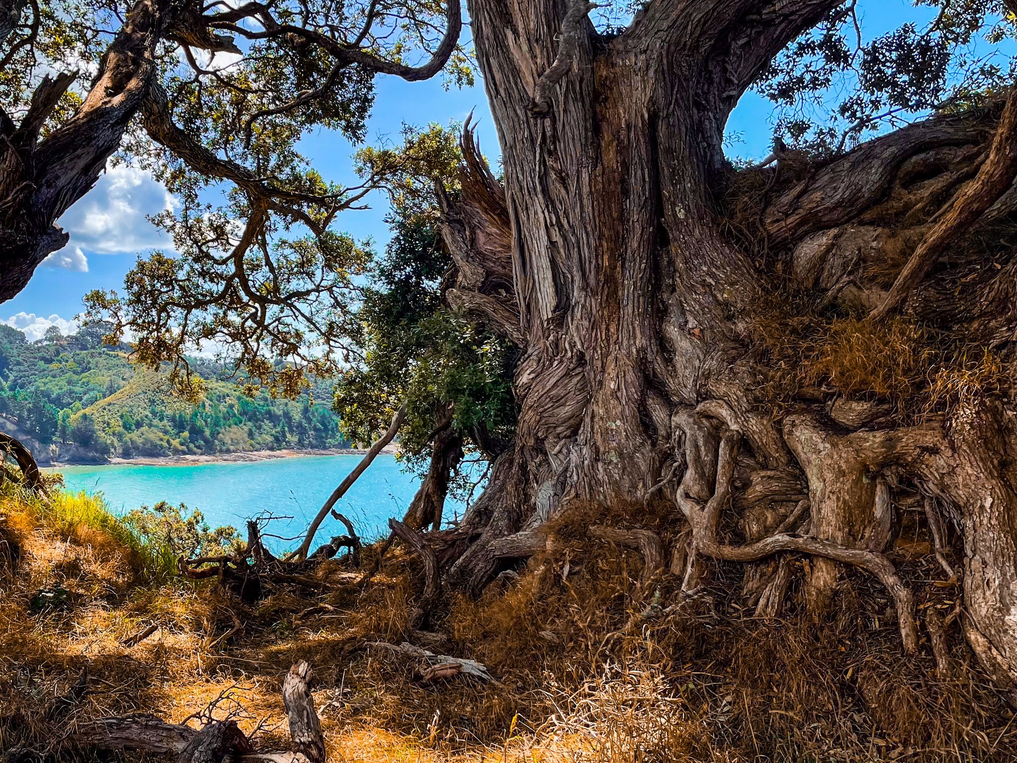
Prior to European use, the site was occupied by Māori for centuries. It sits on a traditional boundary between Te Urikaraka (Ngāti Pāoa) and Ngāti Kohua of Ngāi Tai ki Tāmaki. Each point has an archaeologically significant pā site, and the Pāwhetau headland pā is the most important.
The park's history before becoming a public reserve is unusual. The land was used from the 1950s by Orica Explosives as a depot and manufacturing site for dynamite, and traces of that industrial past remain in the form of a substantial commercial wharf and an ablutions building near the coast. Auckland City purchased the land in 2004, and it has been managed as a regional park since 2014.


Walks and Tracks
The park has four well-marked walking loops covering 4, 6, 8 and 12 kilometres, plus the shorter Pāwhetau Pā track. The flagship walk is the Pūweto Loop, at 7.5 kilometres, taking around two to three hours, and covering Waitawa Bay, the Pāwhetau Pā site, the farm ridge, the wetland valley, and returning to Mātaitai Bay. It has a bit of everything: coastal views, farmland, regrowth forest and historic significance. The Kererū Loop (4 kilometres) is a gentler option through native forest with views over farmland and wetlands.
The shorter Pāwhetau Pā Track is worth doing as a standalone walk regardless of which loop you choose. It is approximately 1 km each way from the park entrance, crossing a flat paddock before ascending to the dramatic pā site, overlooking the Strait and Kawakawa Bay. It is considered to be the best-preserved headland pā in the Auckland region, with extensive fortifications and multiple defensive ditches visible under the grass.
Mātaitai Bay, Waitawa Wharf and the Beaches
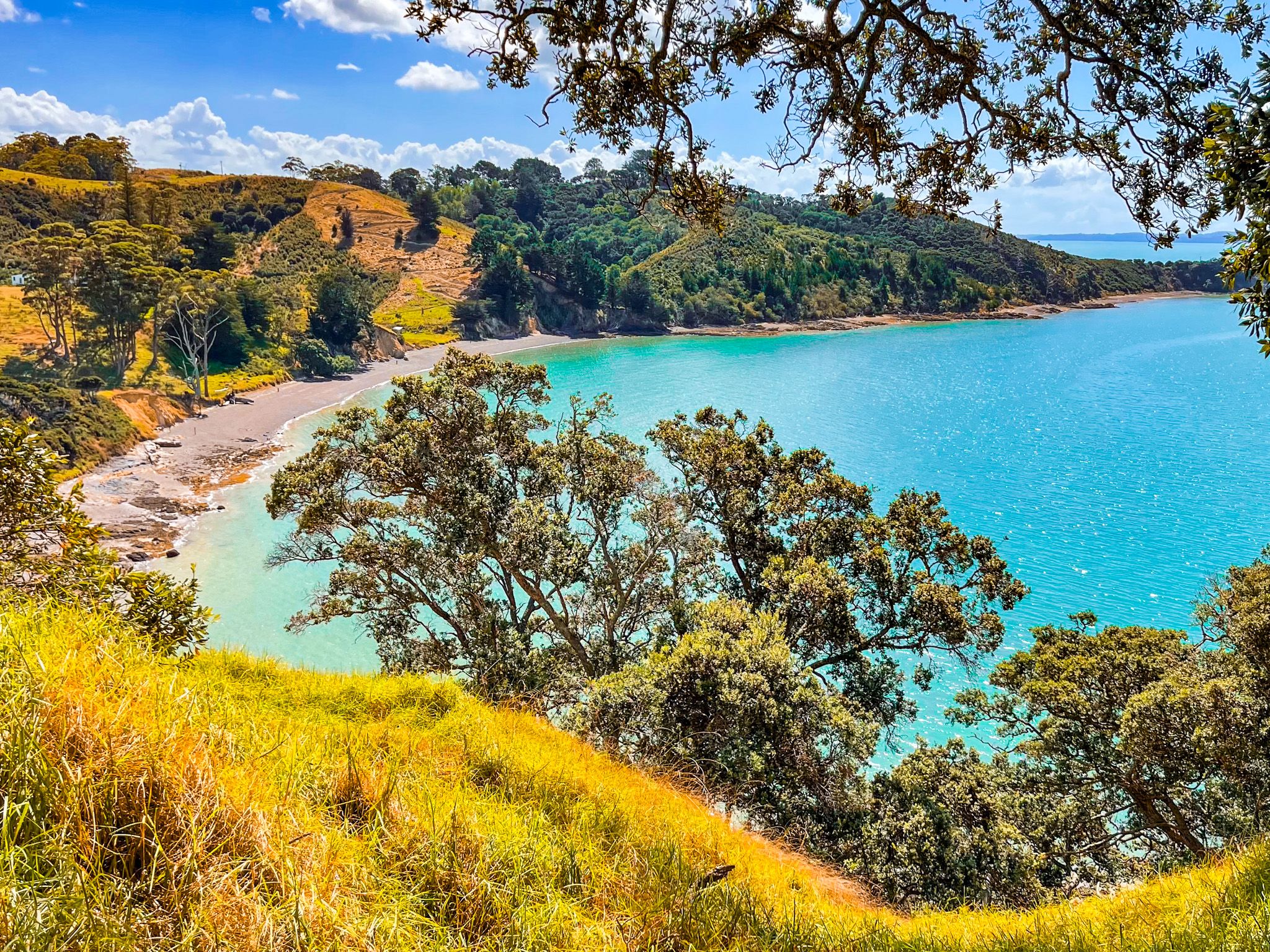
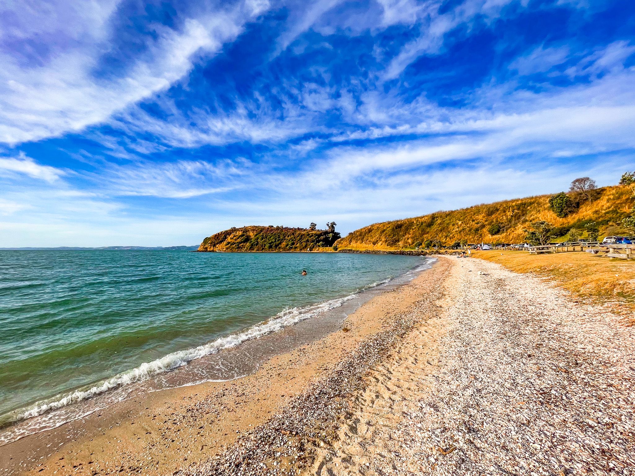
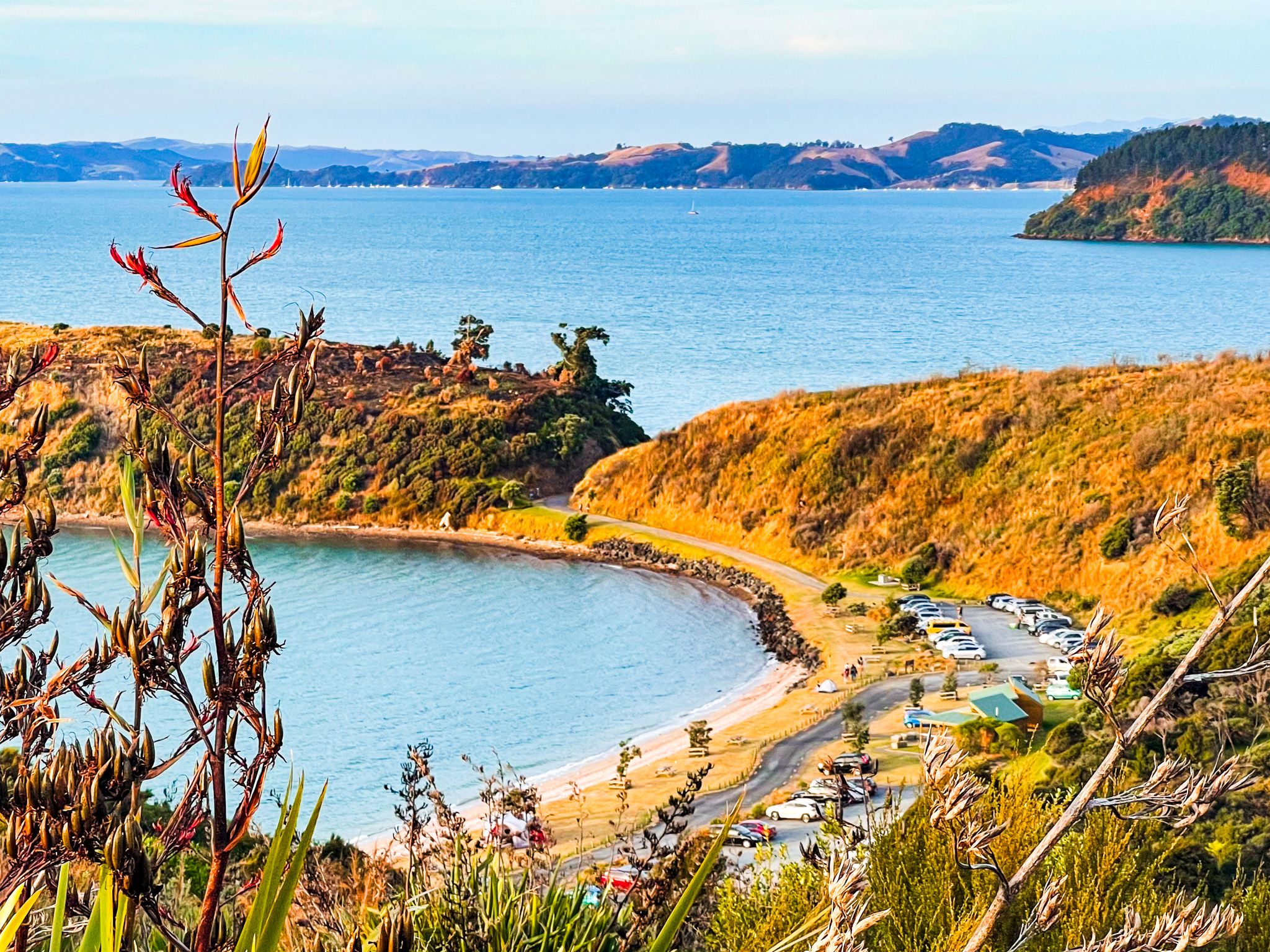
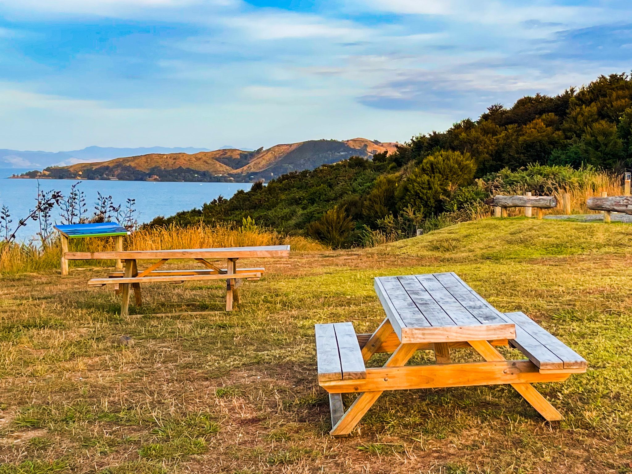
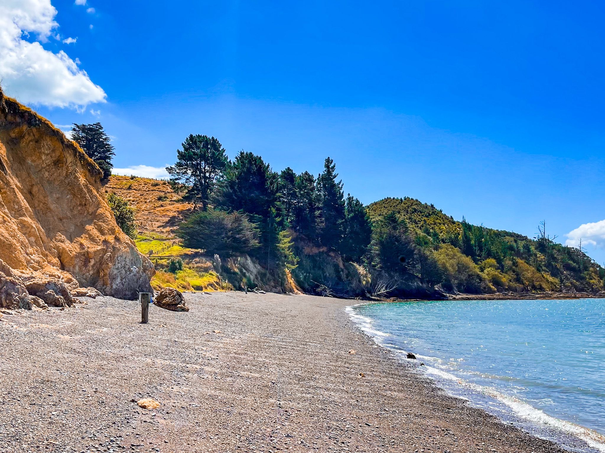
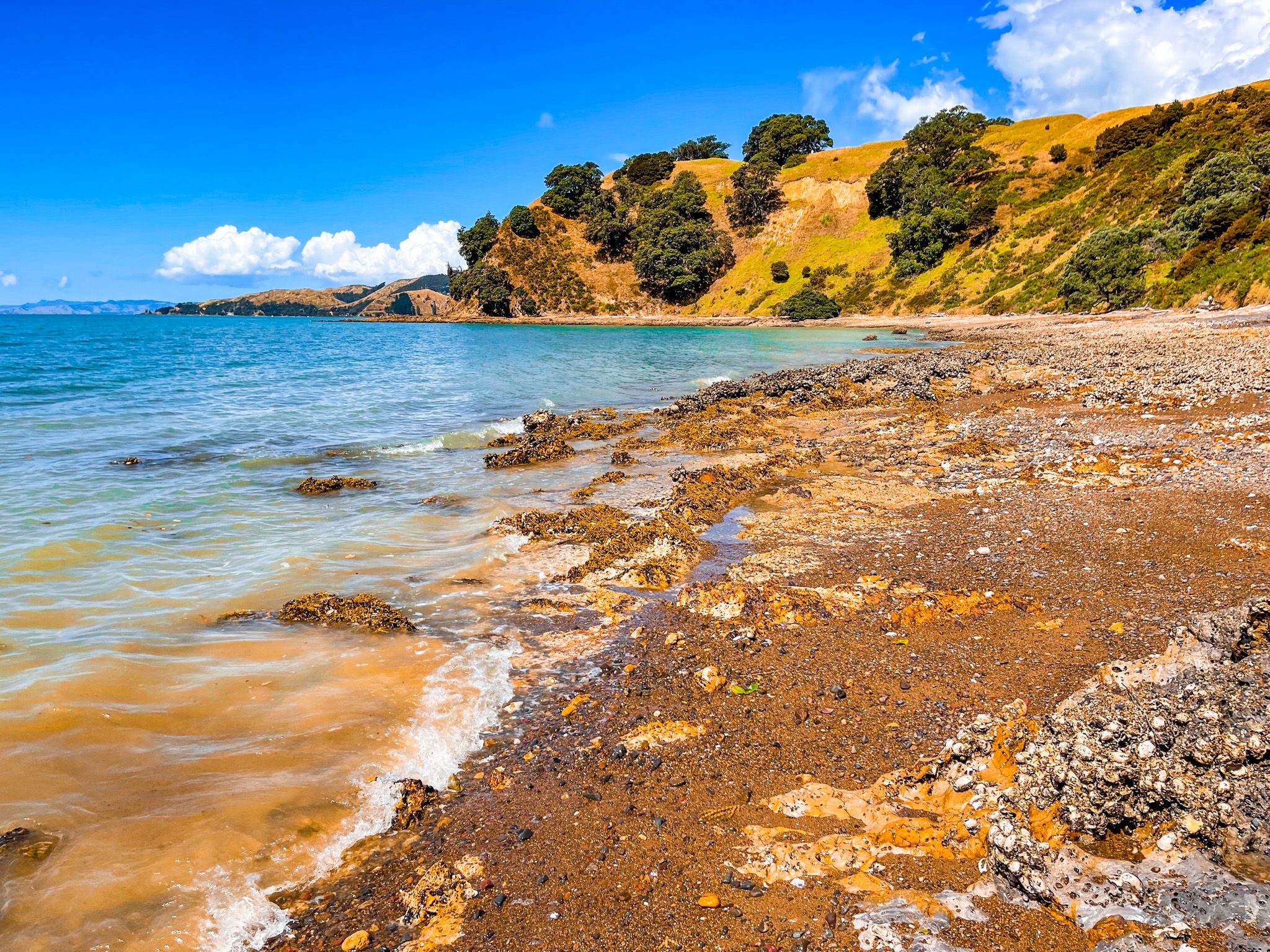
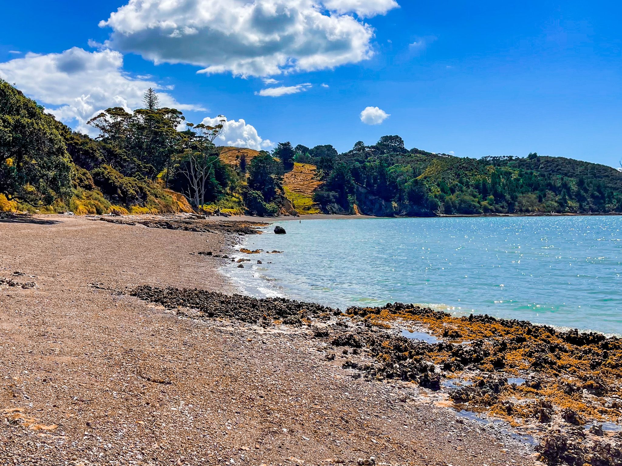
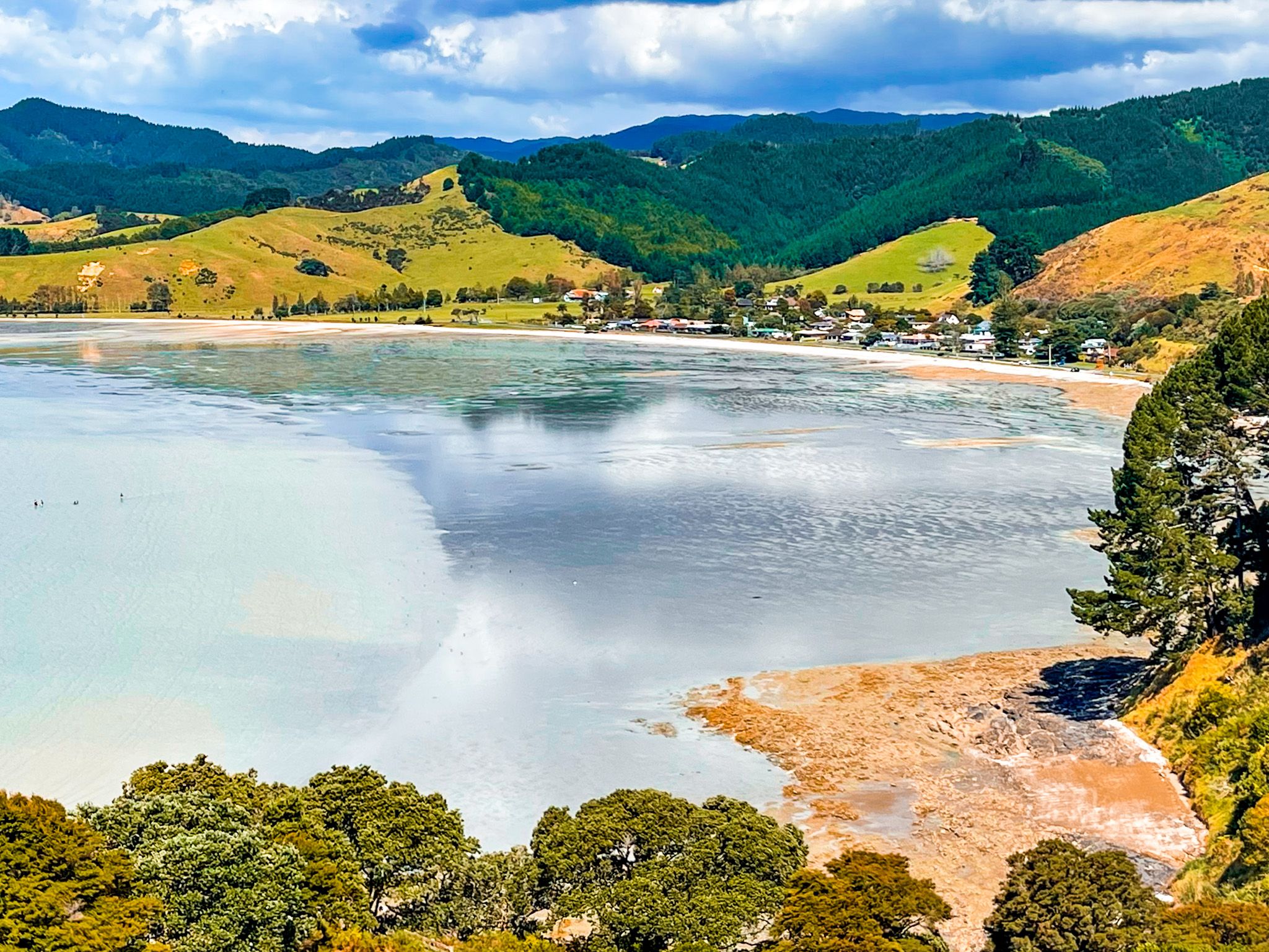
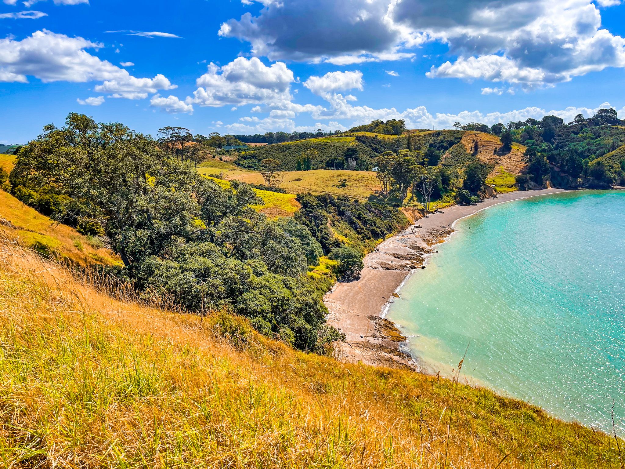
Mātaitai Bay is the park's main arrival point, with a lovely sand beach, barbecues, an outdoor shower, excellent toilets and ample parking. It is flanked by Koherurāhi and Mātaitai Points, sheltered and perfect for swimming. The beach at Waitawa Bay is not as attractive and only has a walk-in and boat access, so it’s less crowded.
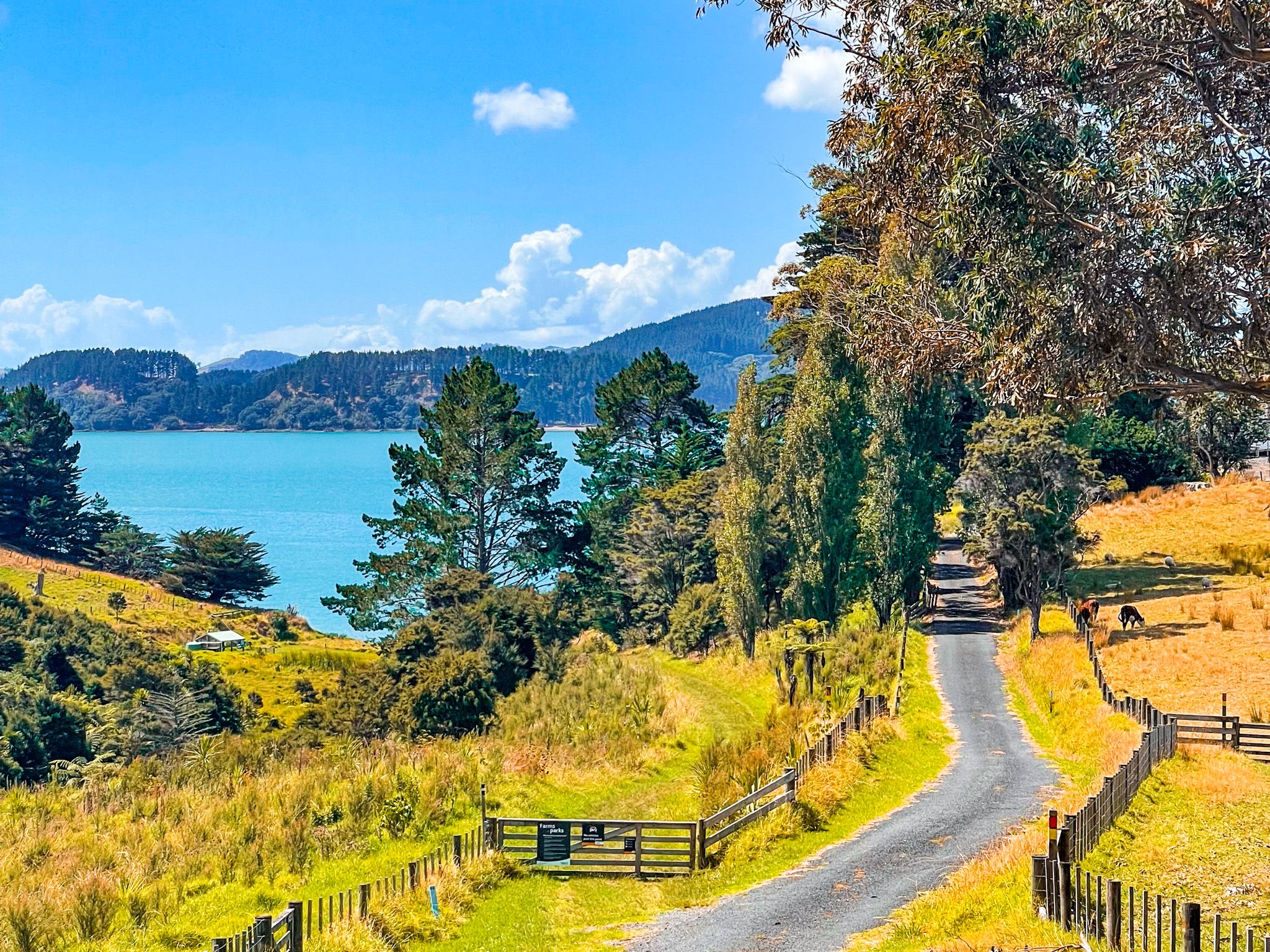
A short walk from Mātaitai Bay on a road cut through the headland leads to the Waitawa Wharf. This is an unusual T-shaped commercial wharf from the Orica explosives era, now busy with anglers on weekend mornings. The wharf is suitable for viewing and fishing, but not for mooring.
Biking, Horse Riding and Disc Golf
Waitawa is one of the most developed mountain biking parks in the Auckland region, with a range of tracks from family-friendly to technically challenging, mostly through former pine forest and regenerating native bush. The Hoiho Hub at the park provides horse riding facilities, and riders with an Auckland Council permit can access designated horse tracks. The Waitawa Disc Golf Course is open to the public.
Camping and a Bach
The park has two campgrounds: the Waitawa Bay Campground, above Waitawa Beach, and the Waitwa CSC Parking Area on the former Orica site with hardstands. The campground has foot or kayak access, as part of the self-guided Te Ara Moana Trail.
A bookable bach overlooks Waitawa Bay and sleeps up to six.
Dogs are prohibited at campgrounds and on mountain bike tracks year-round, and prohibited throughout the park from 1 July to 1 December during nesting season.
How to Get There
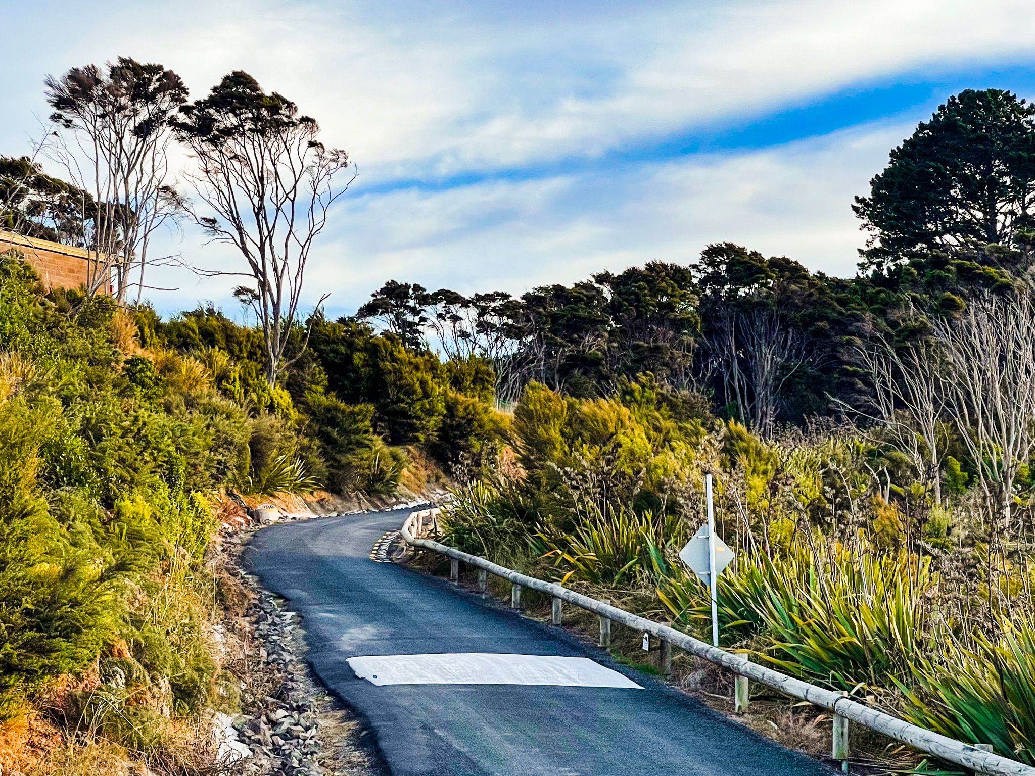
From Downtown Auckland, take the southern motorway south, exit at Hill Road, then head east-northeast via Hill Road, Stratford Road, Alfriston Road, Alfriston-Ardmore Road, Clevedon-Takakani Road, and Clevedon-Papakura Road to Clevedon. From Clevedon, follow the Clevedon-Kawakawa Road east toward Kawakawa Bay. The park entrance is signposted before the bay, and an automatic gate controls after-hours access. The drive takes around 70 minutes and is 52 km.
Nearby places to visit include Clevedon Scenic Reserve, Kawakawa Bay Coast Road, Tawhitokino Beach, Ōrere Point, Tāpapakanga Regional Park, Waharau Regional Park, Kaiaua and Pūkorokoro / Miranda.