Hauraki Gulf Views and Access
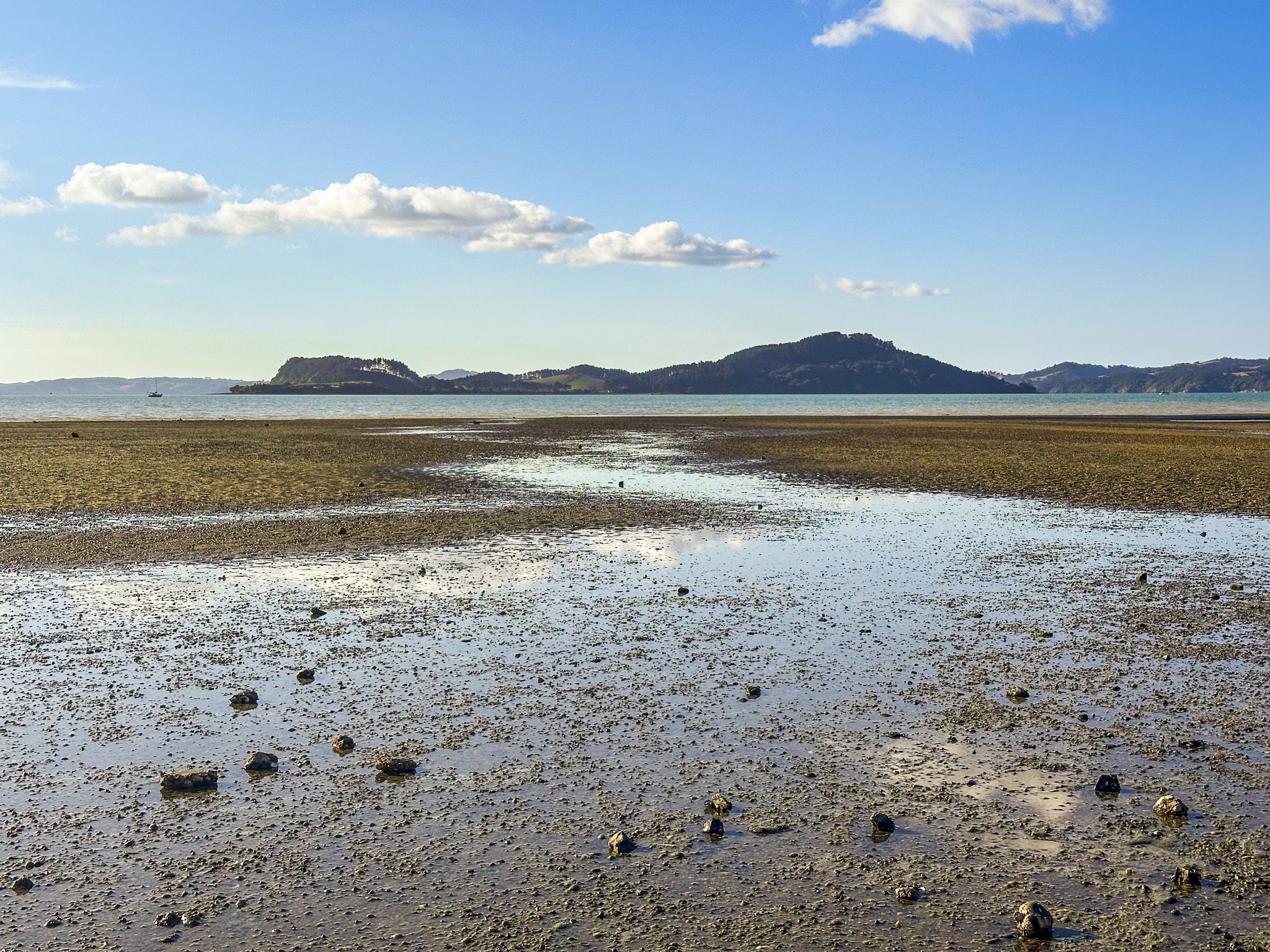
Kawakawa Bay is a small coastal settlement at the western end of the Firth of Thames in southeast Auckland, about 15 minutes east of Clevedon. It sits at the point where the Tāmaki Strait begins to widen into the Firth of Thames, and faces north toward the islands of the Hauraki Gulf. Waiheke, Ponui, Pakihi and Karamuramu are visible on a clear day. It is a popular spot for swimming, boating and fishing, with easy access from the road.
Derivation of the Name
The name refers to the kawakawa trees that once dominated the shore. Kawakawa is one of the most significant plants in Māori culture, used in medicine and ceremony, and the characteristic holey leaves, eaten by caterpillars, appear in traditional weaving and kōwhaiwhai decoration. The historic Ngāi Tai ki Tāmaki settlement is best reflected in the pā sites at Waitawa Regional Park, and especially Pāwhetau Pā at the west end of the bay on Pāwhetau Point.
The Bay and Settlement
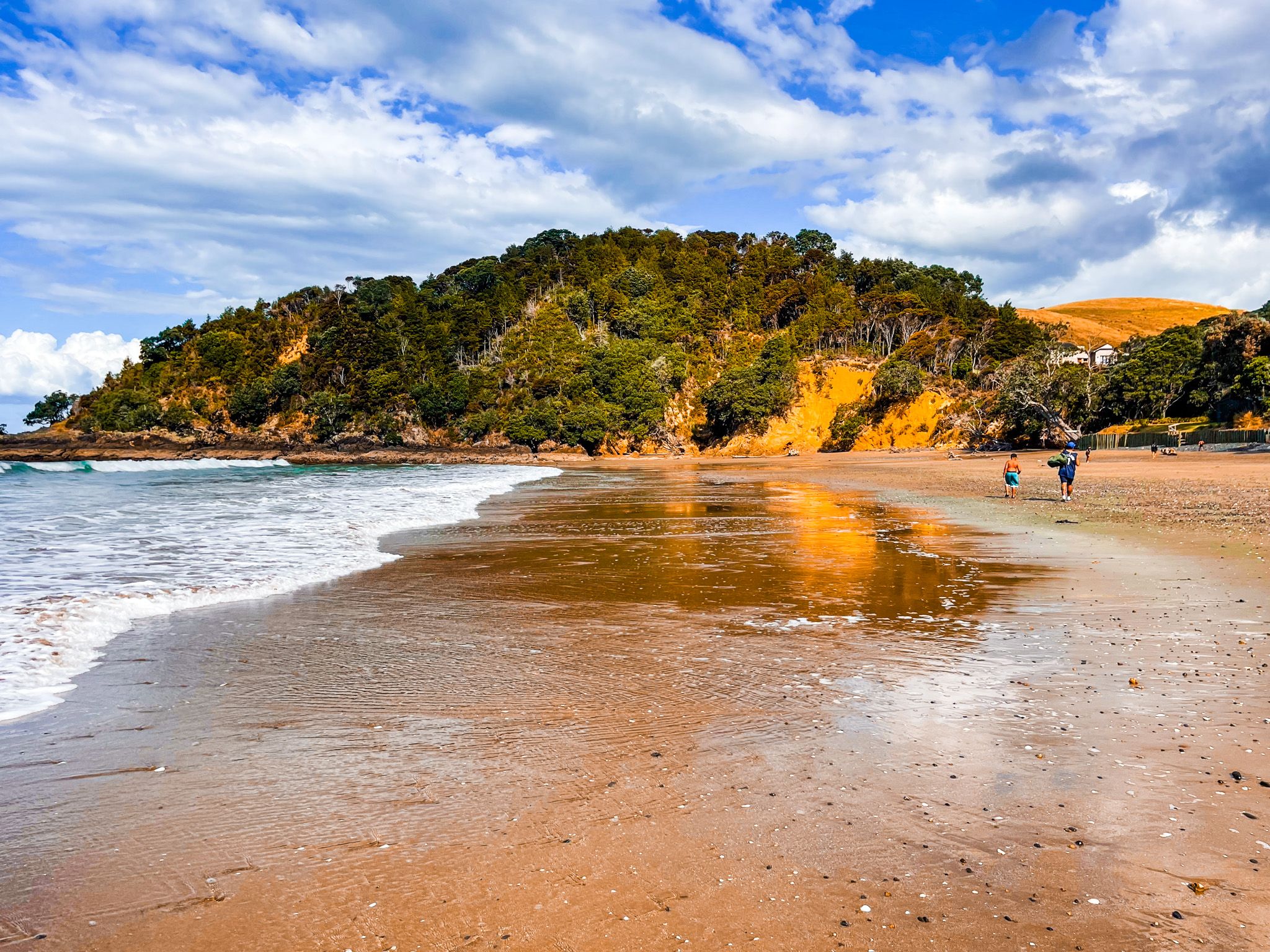
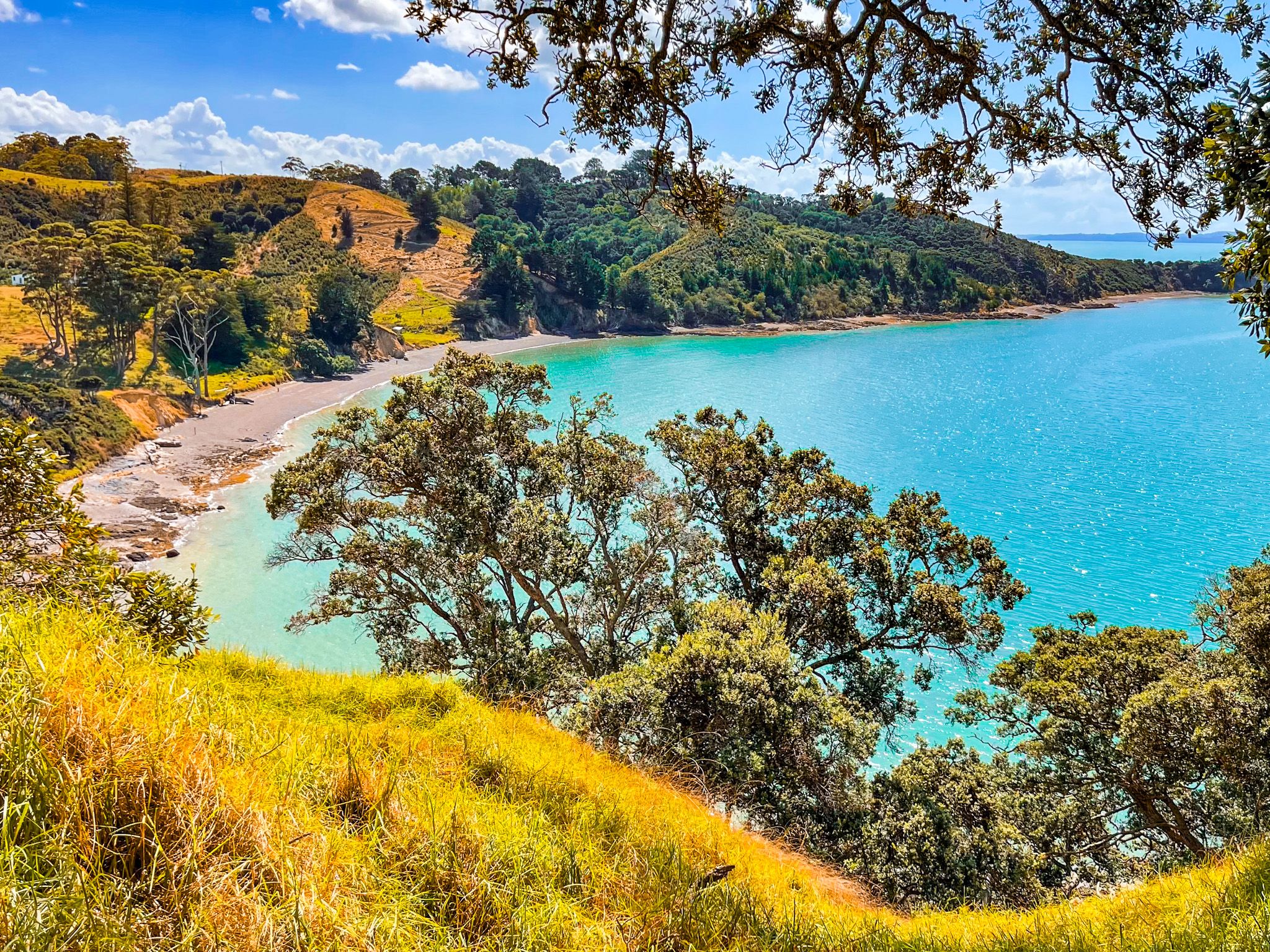
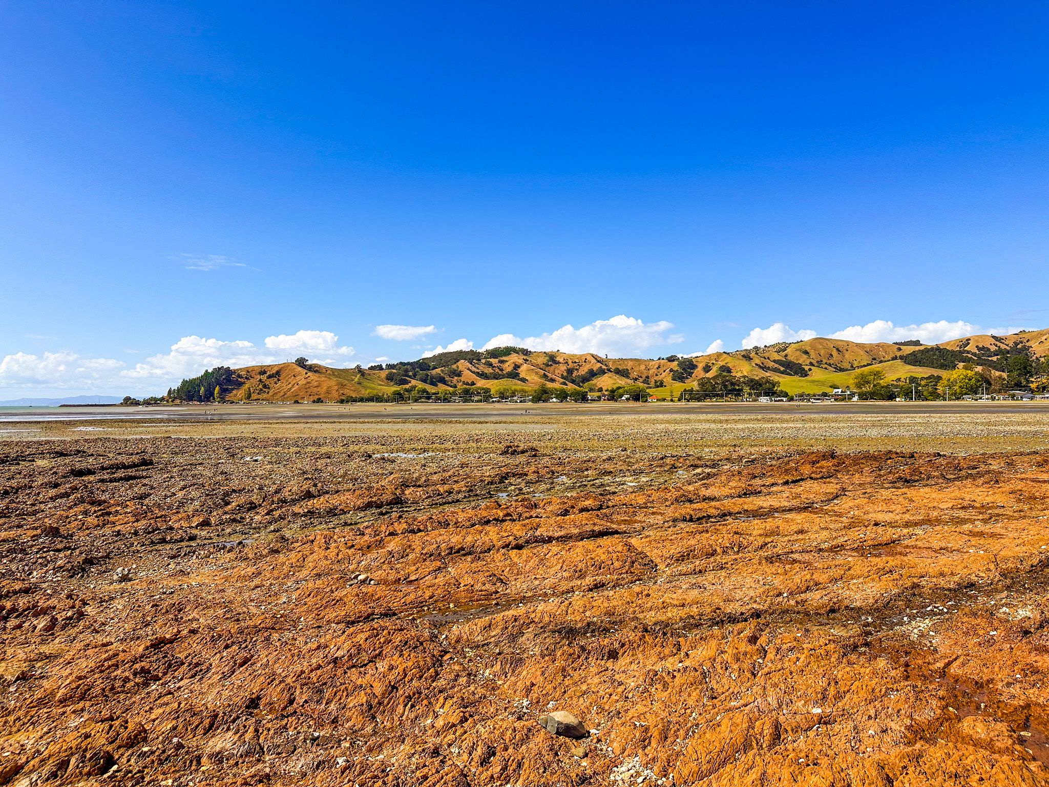
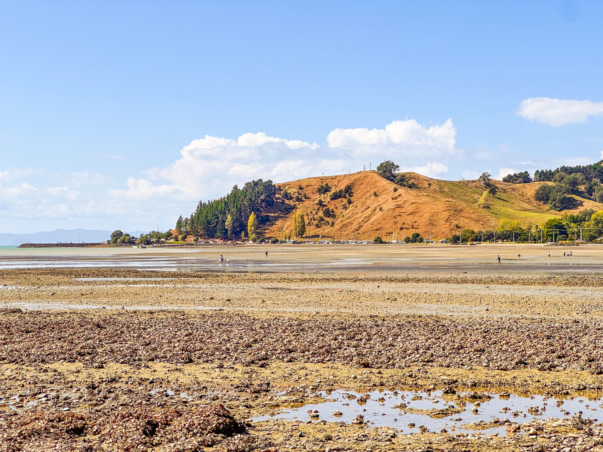
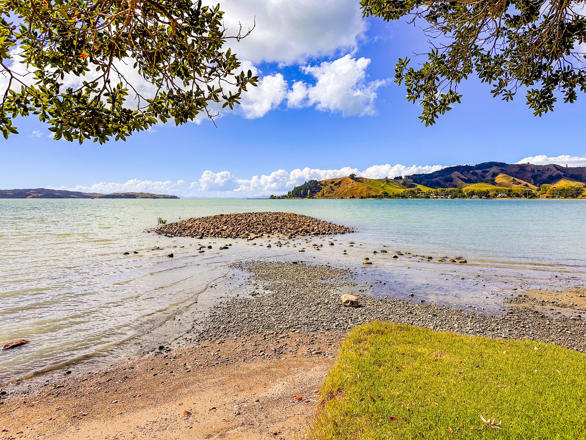
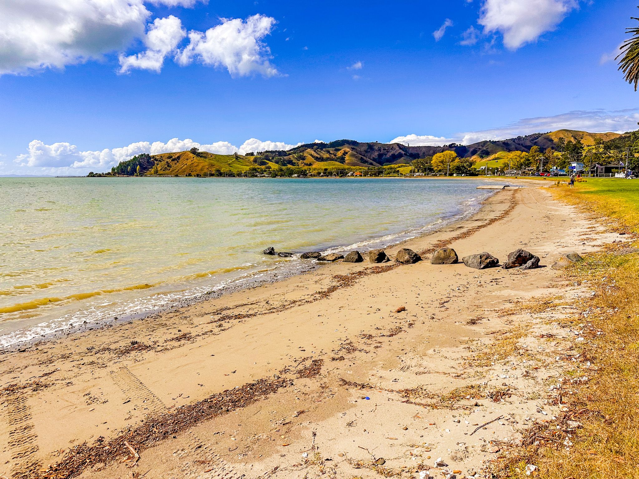
Kawakawa Bay is roughly 2.5 km across, with a shallow curving beach and extensive flats at low tide. At the west end is Pāwhetau Point, with the smaller rocky Iwirahirahi Point in the middle of the bay. At the east end are boat launch facilities, giving access to the gulf, and fishing, mainly snapper and kahawai. The bay is one of Auckland's most popular boating destinations in Summer, when the boat ramp can be extraordinarily busy.
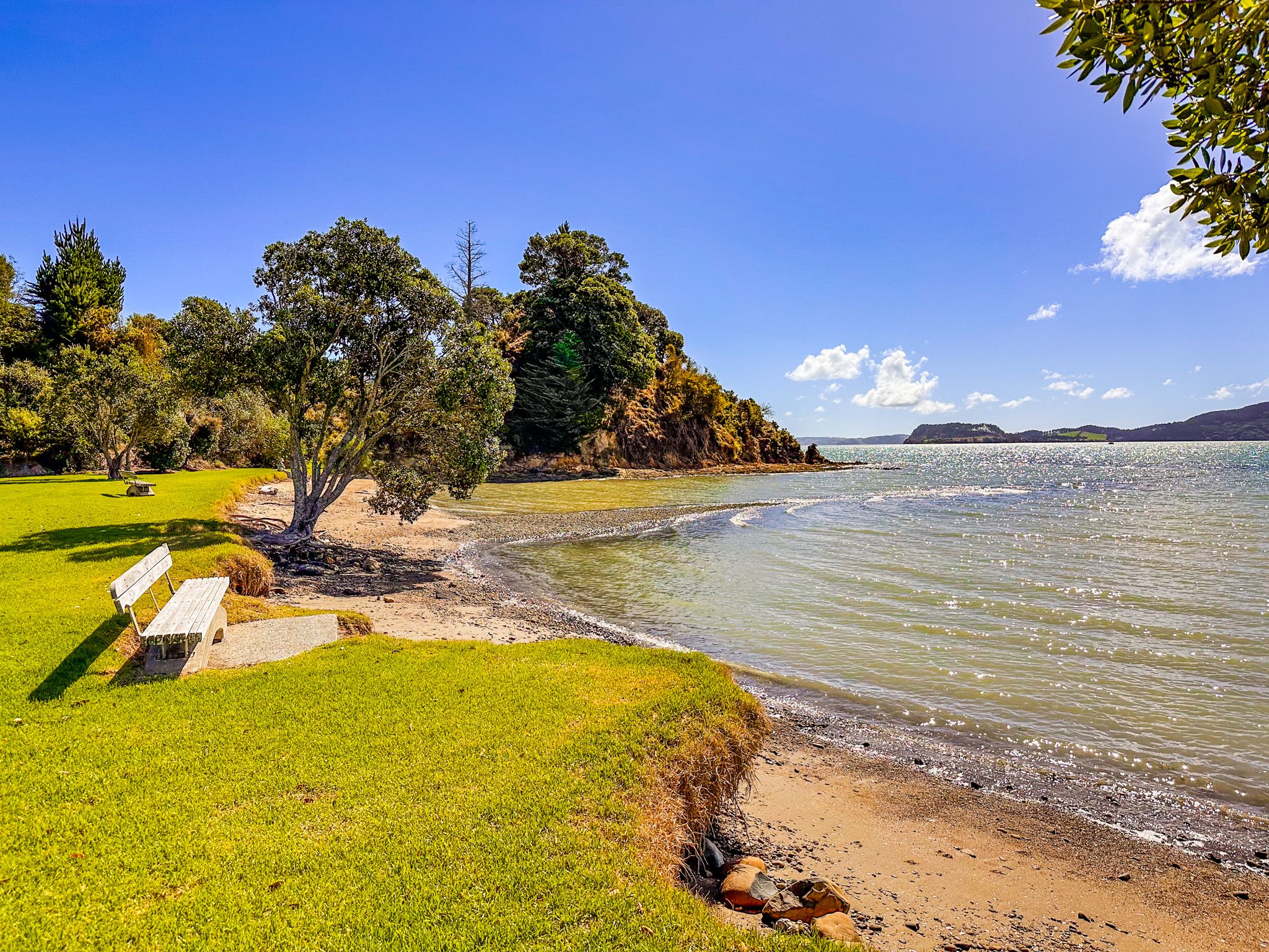
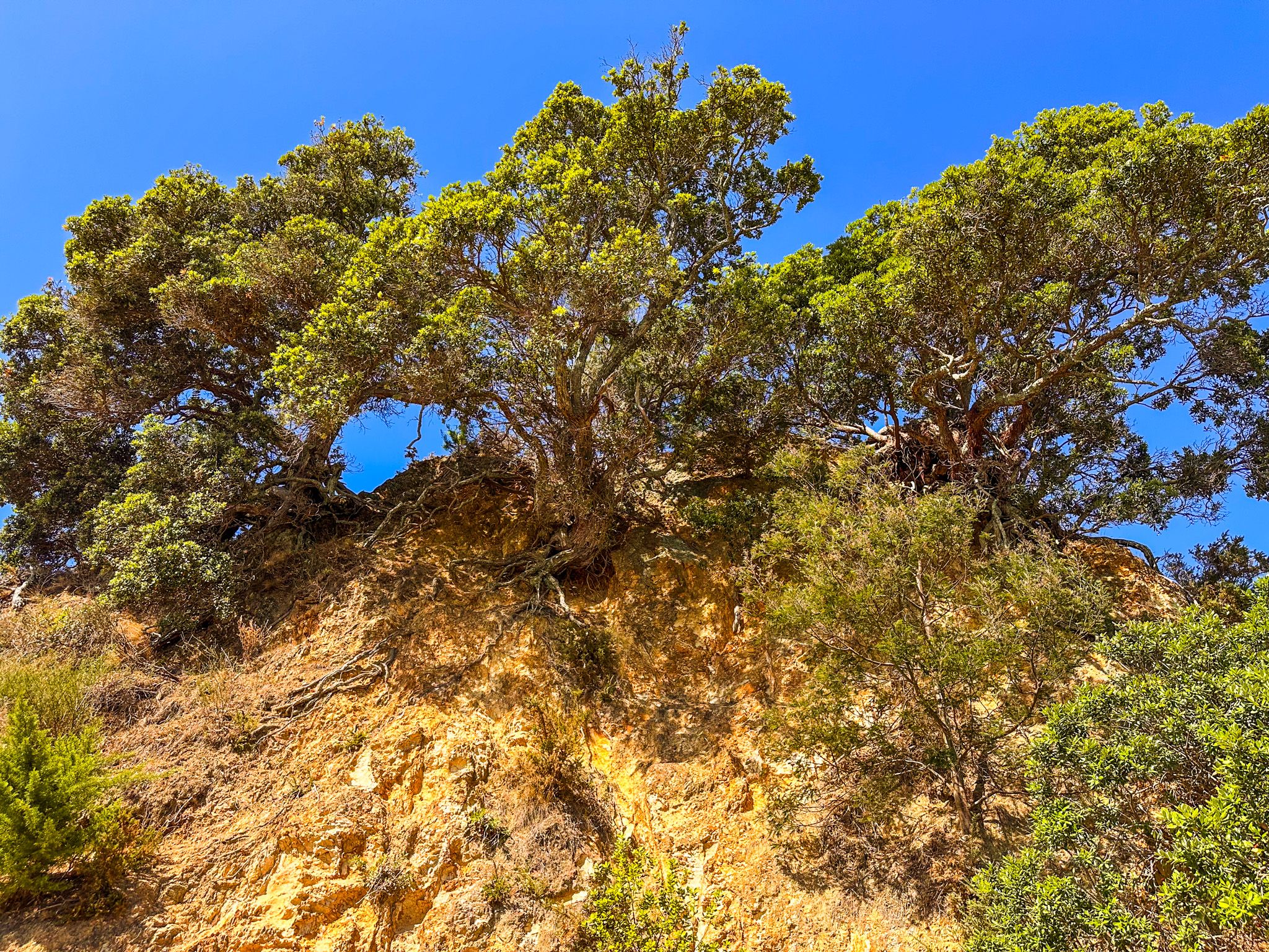
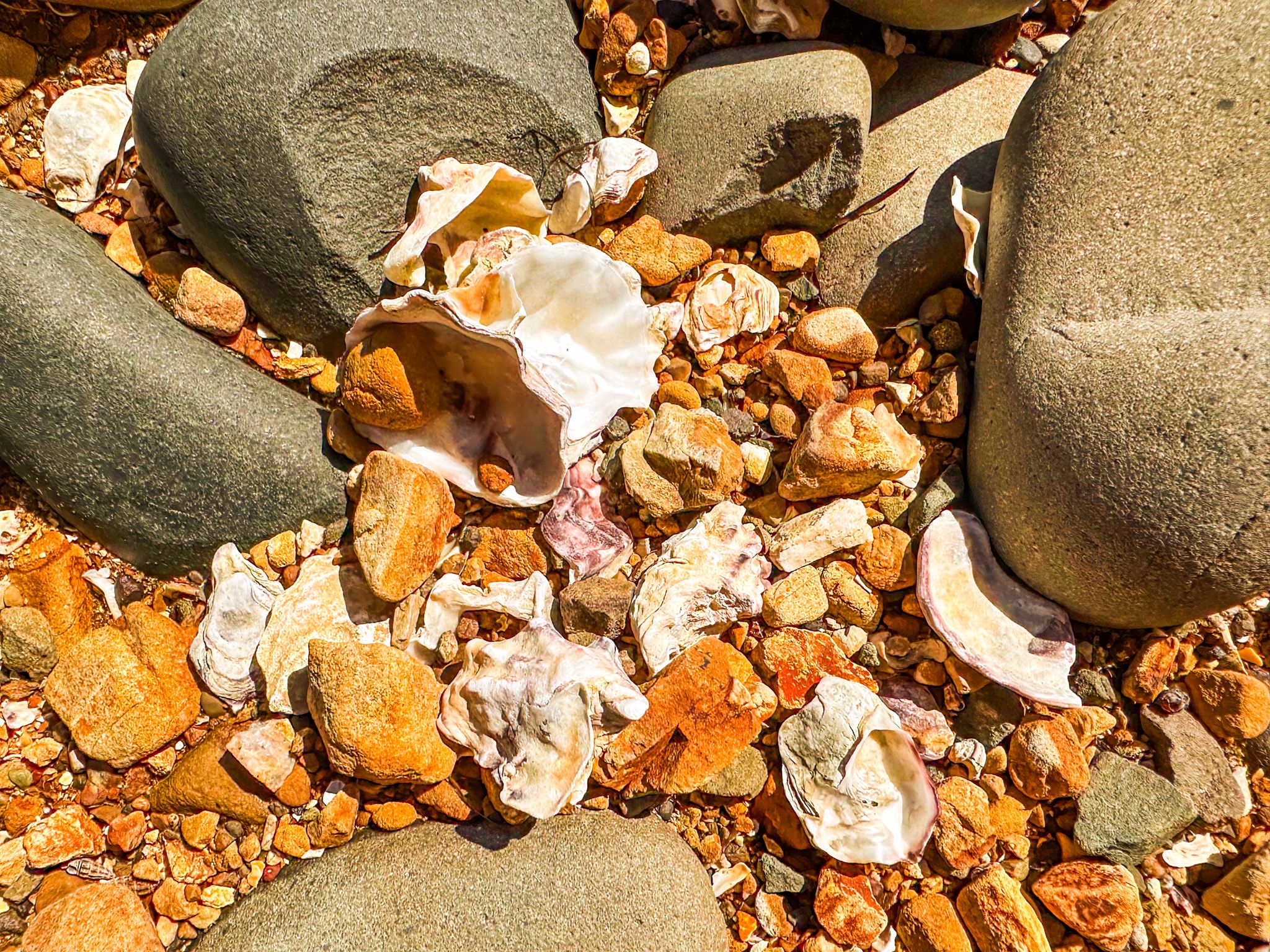
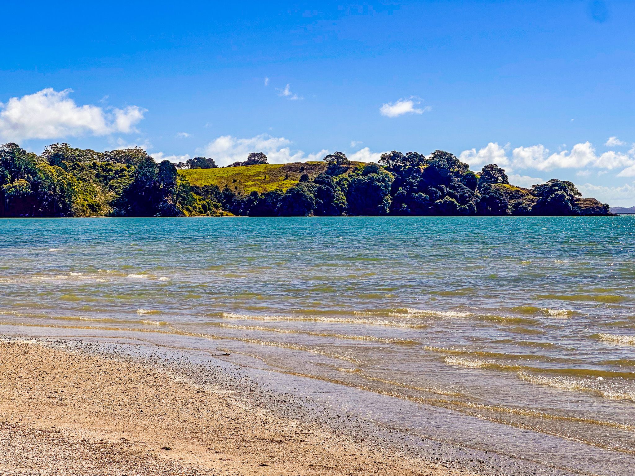
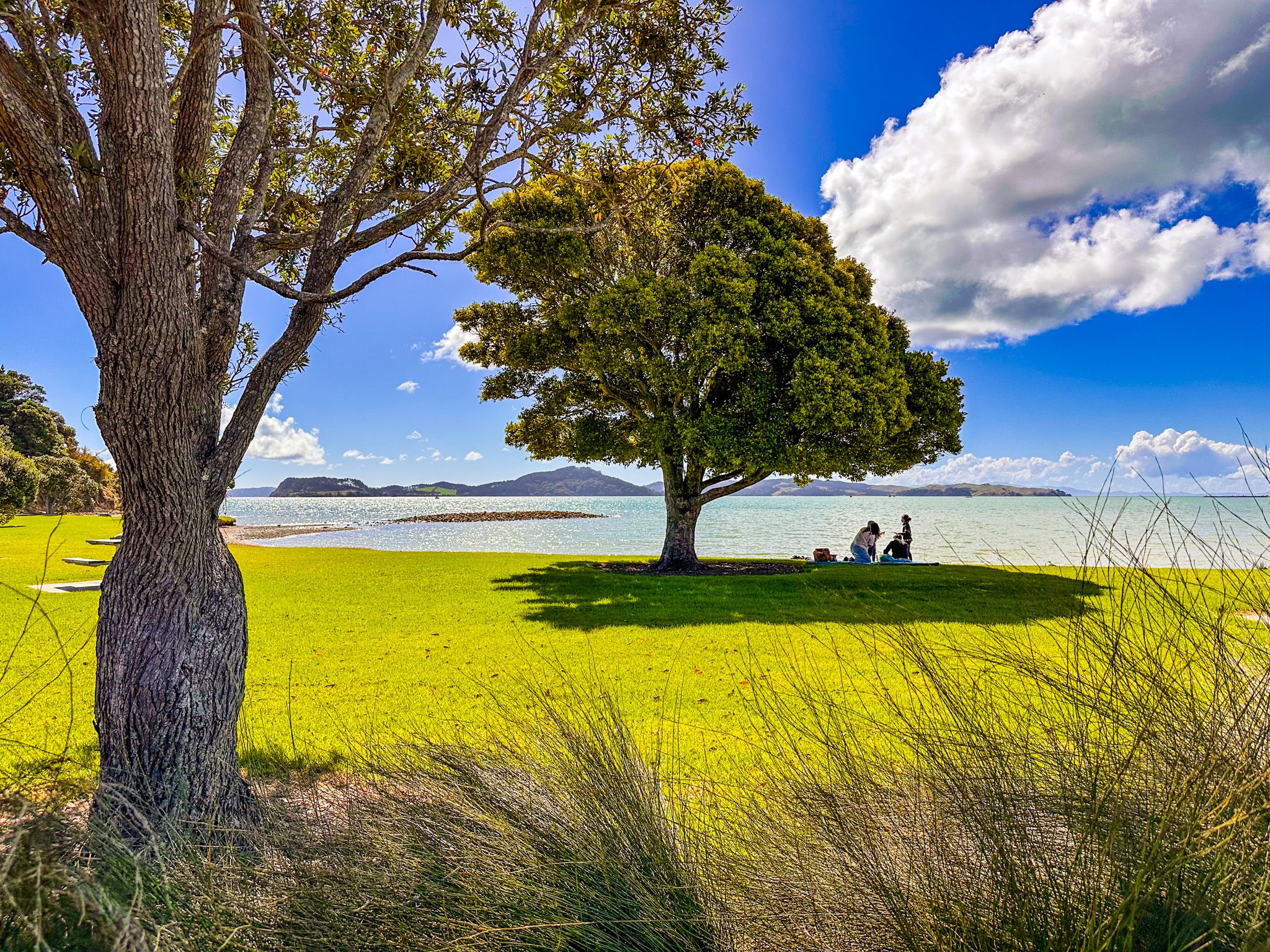
The road runs around the coastal edge of the bay, with room to stop next to the beach along most of its length. Whitford Point Reserve, on Iwirahirahi Point, is a particularly attractive place to stop for a picnic. At high tide, the water leaves a narrow gold-to-white sand beach, backed by a grassy reserve, stunning orange rock formations, and pōhutukawa trees. As the tide retreats, you can explore around the base of the point. For those who enjoy exploring mud and sand flats, be there at low tide. Swimming is safe in the calm waters and best at high tide.
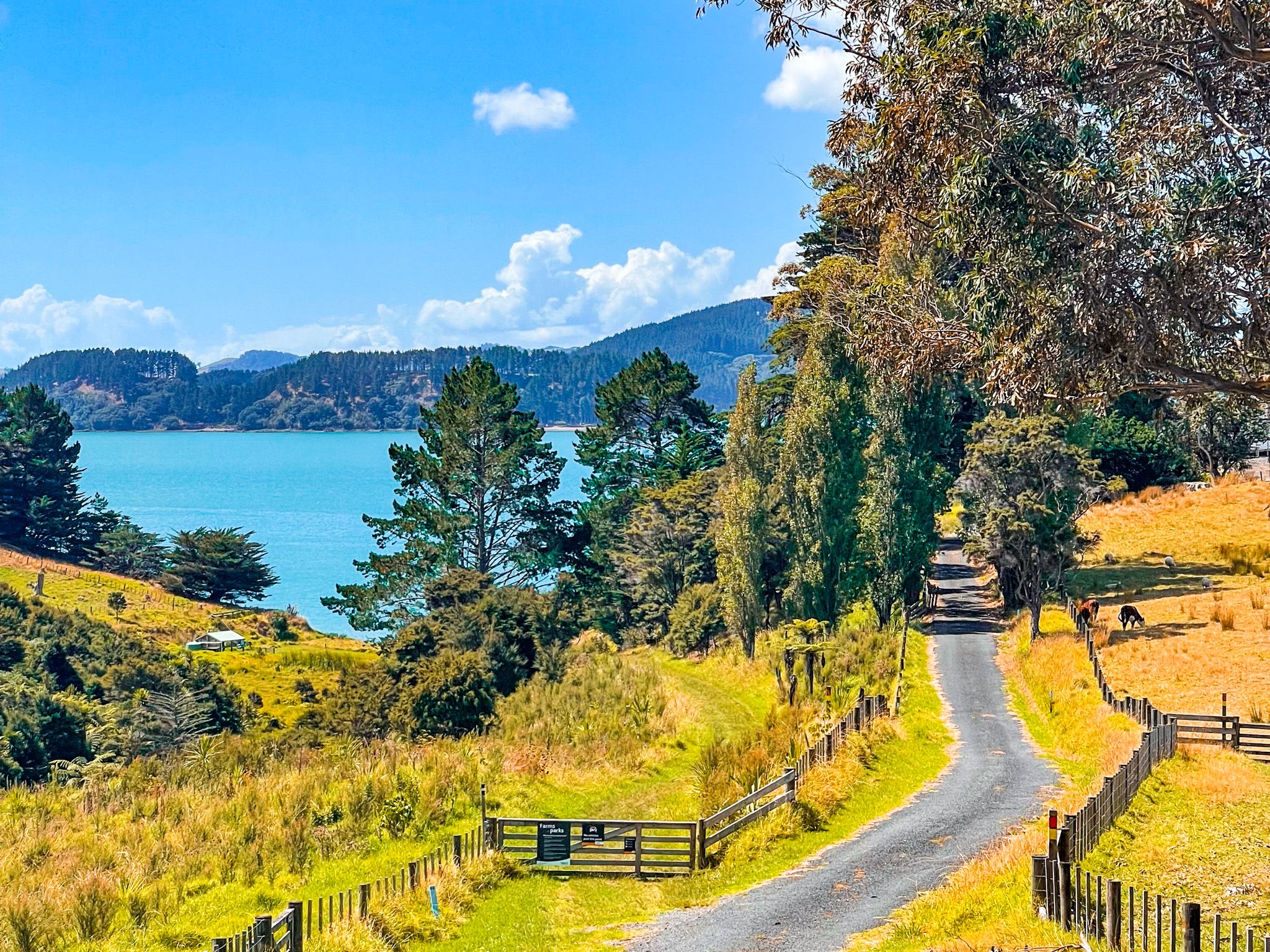
The settlement itself is modest: a small cluster of houses and bachs, a local store and takeaway, a service station and a motel. Despite the development pressure building on the southern fringes of Auckland, Kawakawa Bay has retained a relaxed character. The foothills of the Hunua Ranges rise behind the settlement to the south.
Kawakawa Bay Coast Road and the Scenic Highway
The Kawakawa Bay Coast Road heads east from the settlement towards Tuturau Bay, quickly becoming a narrow road that winds above moderate cliffs before ending at Tuturau Bay overlooking the entrance to the Firth of Thames. This stretch of road passes small sandy beaches, Raukura Point, Waitī Bay and ends at Tuturau Bay. From there, you can walk to beautiful Tawhitokino Beach.
Heading south on the Pacific Coast Highway takes you inland through a beautiful strip of native forest and across beautiful rolling pastureland, with access to Ōrere Point, Tapapakanga Regional Park, and then returning to the coast on the Firth of Thames.
How to Get There
From Downtown Auckland, take the southern motorway to the Hill Road off-ramp, then head east-northeast via Hill Road, Stratford Road, Alfriston Road, Alfriston-Ardmore Road, Clevedon-Takakani Road, and Clevedon-Papakura Road to Clevedon. From Clevedon, continue northeast on Clevedon-Kawakawa Road to Kawakawa Bay. This takes about 52 minutes and is 55 km.
You can also reach Clevedon via the Pōhutukawa Coast, which takes a few more minutes.
Other nearby places to visit include Clevedon Scenic Reserve, Waharau Regional Park, Kaiaua, Pūkorokoro / Miranda and the Robert Findlay Wildlife Reserve on the Seabird Coast.