A Short Scenic Coastal Drive from Kawakawa Bay
East of Kawakawa Bay, the coast road leaves the main settlement behind and follows the shoreline along a narrow, winding route with dramatic coastal views. The Kawakawa Bay Coast Road runs for about 2.6 km from the Kawakawa Bay boat ramp to its end at Waitī Bay, along low cliffs above a rocky shore. The views are north across the Tāmaki Strait to the Hauraki Gulf islands and east toward the Firth of Thames. The road is sealed but narrow, so take care.
The Road and its Stops
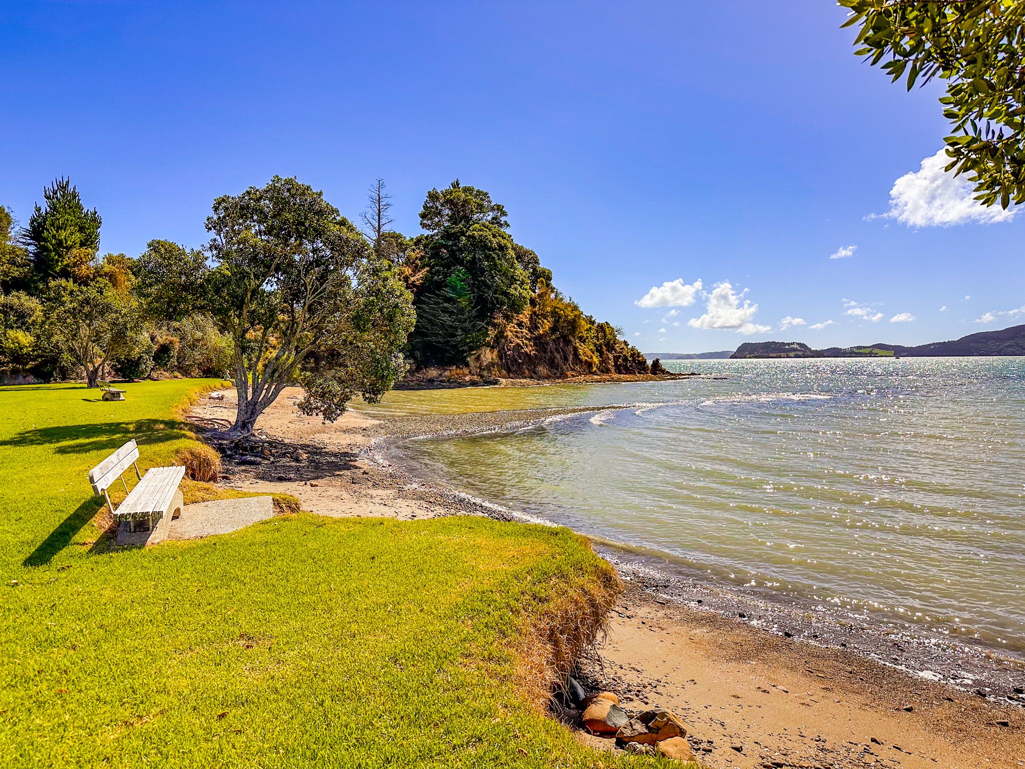
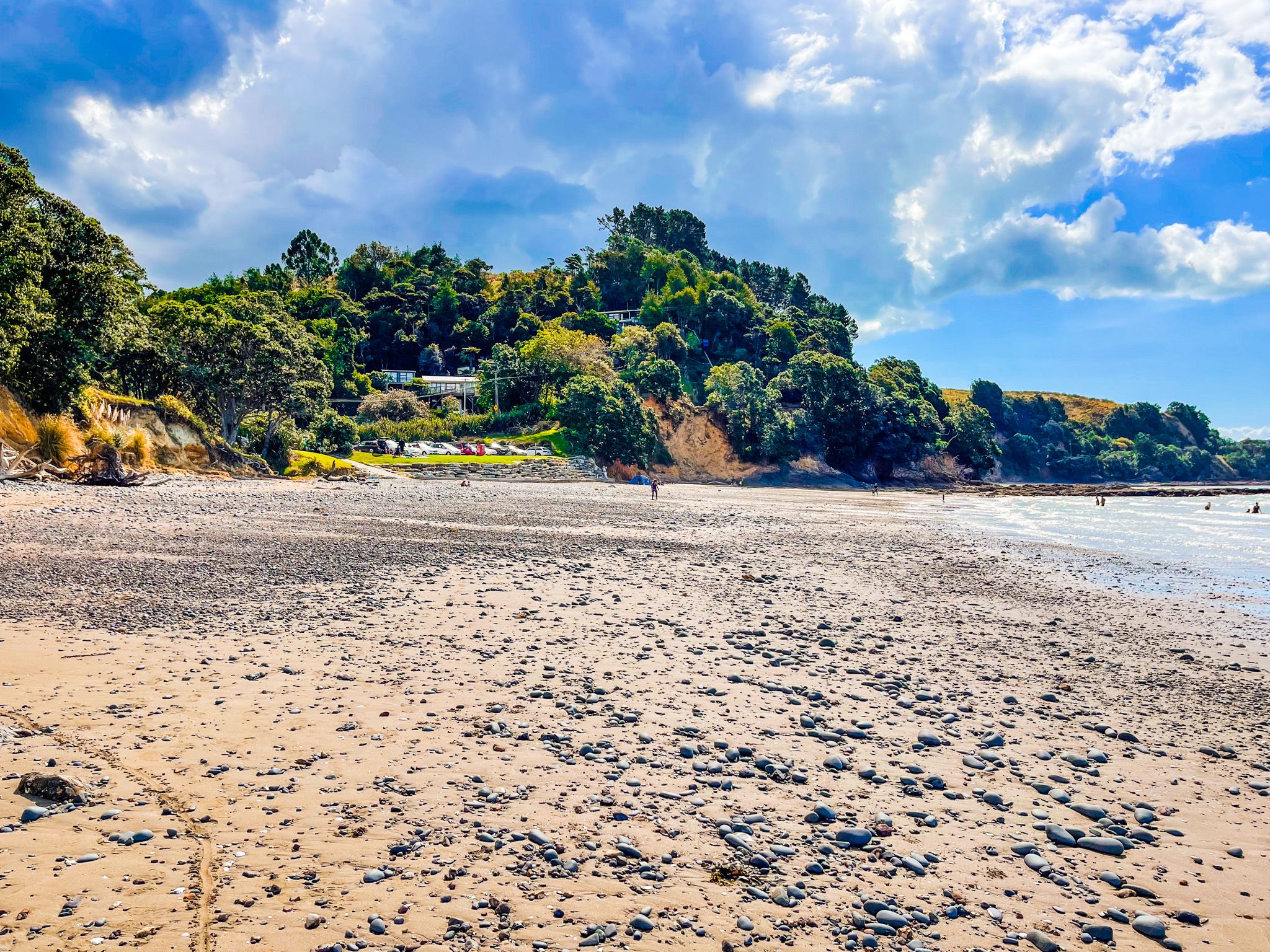
Leaving Kawakawa Bay, there is a small sandy beach with room to stop. After this, the road quickly narrows and begins to climb above the shoreline. The coast below is predominantly rocky, with pōhutukawa clinging to the cliff edges. A few small laybys along the way provide informal parking and views, including Raukura Point.
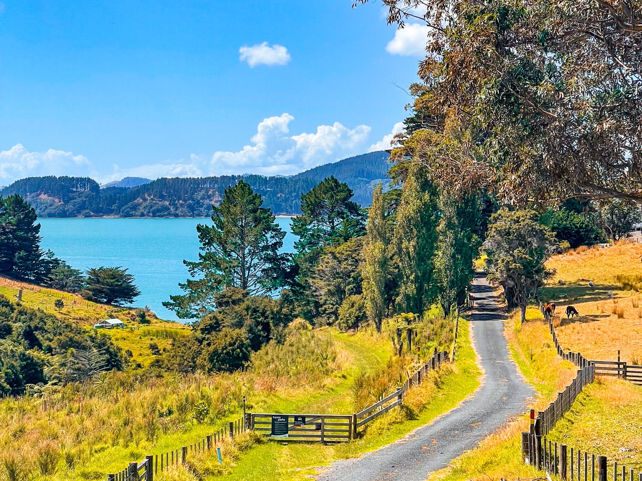
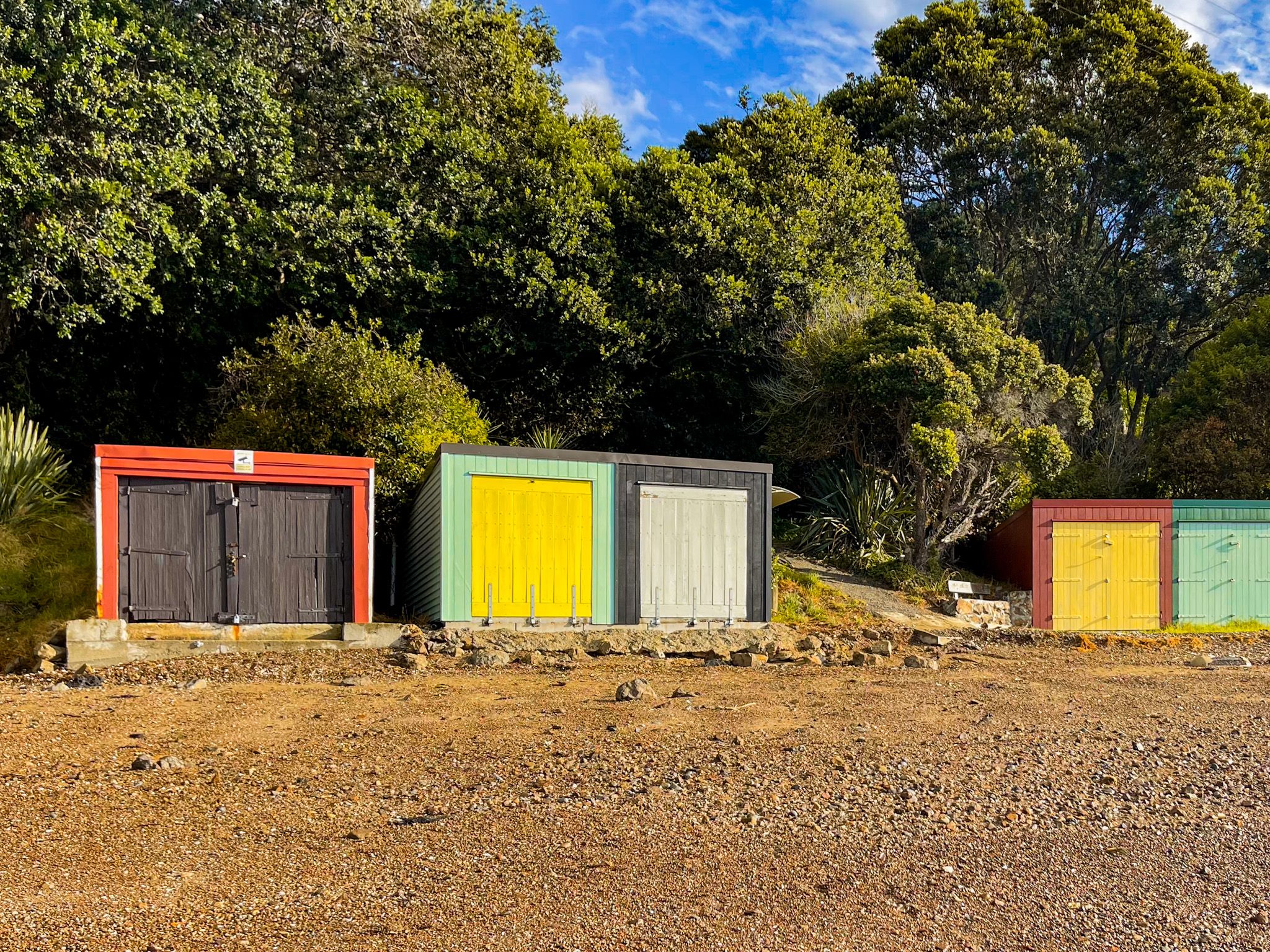
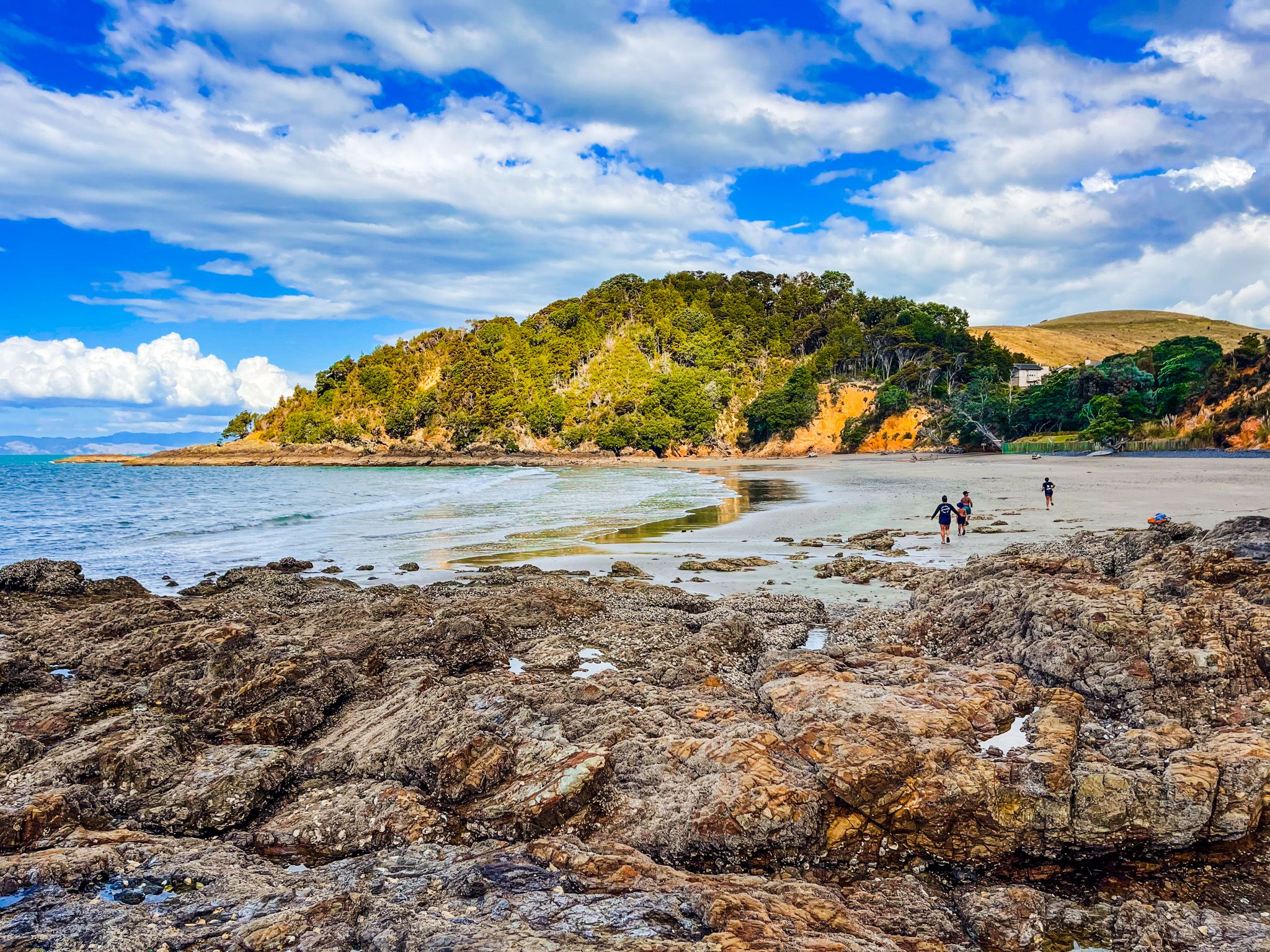
Waitī Bay, with parking for around 20 vehicles near the end of the road, is a safe, sheltered little beach with toilet facilities. It is a good swimming and fishing spot in its own right, and also the departure point for the walk to Tuturau Bay and Tawhitokino Beach.
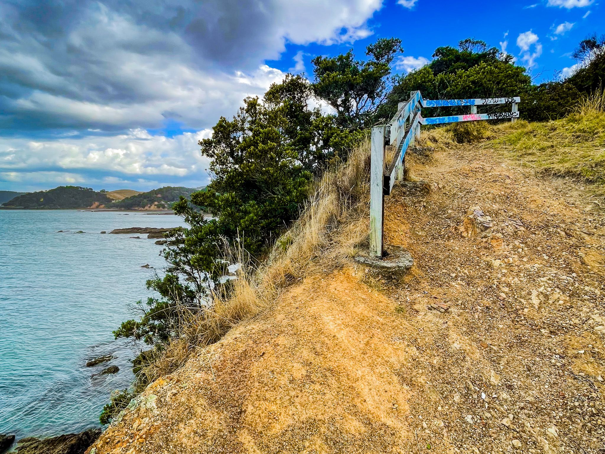
Raukura Point
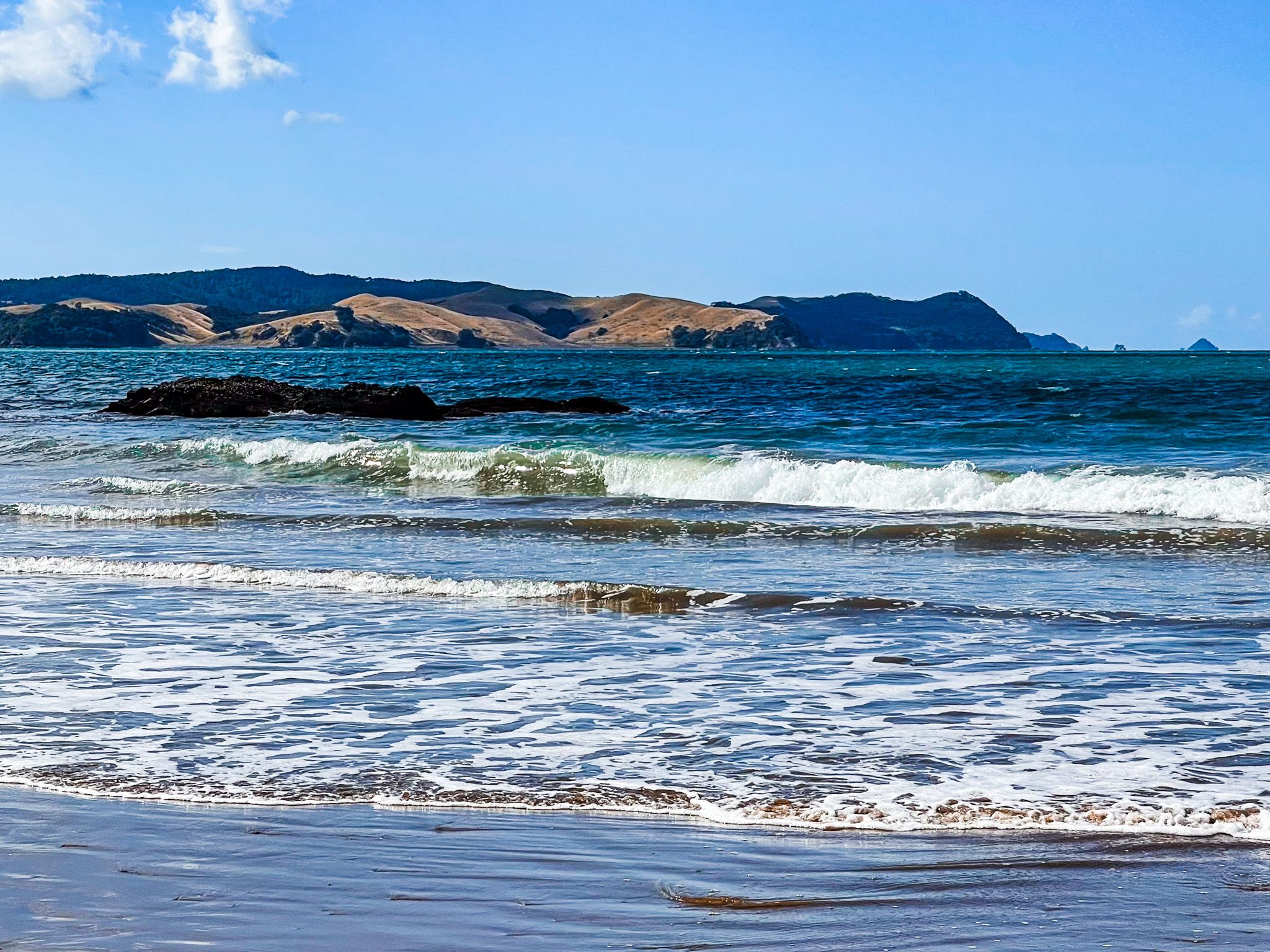
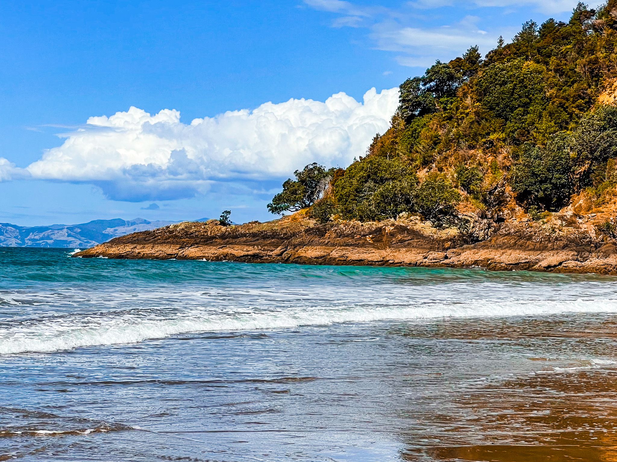
Raukura Point is the headland where the Tāmaki Strait ends, and the Firth of Thames begins. A small parking area beside the road provides access to a short clifftop walk. Looking north and west, the familiar shapes of Waiheke, Ponui, Pakihi and Karamuramu islands are across the strait. Looking south-east, the view opens down the full length of the Firth of Thames and the Coromandel Peninsula.
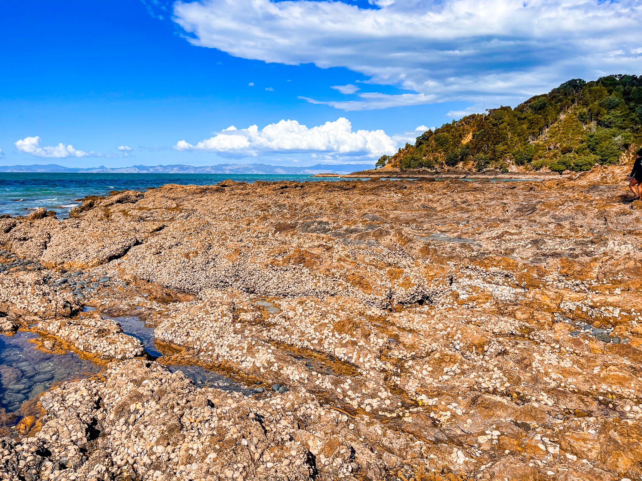
From the clifftop, it is possible to pick your way carefully down to the rocky shore below, where the geology of this coastline is particularly evident. Greywacke rock platforms sculpted by wave action, with a notable connected high-tide island. The exposed rock shelves and pools offer excellent rockpooling for those willing to explore, and the ledges provide natural fishing platforms accessible at lower tides. Caution is needed on wet rock.
Tuturau Bay
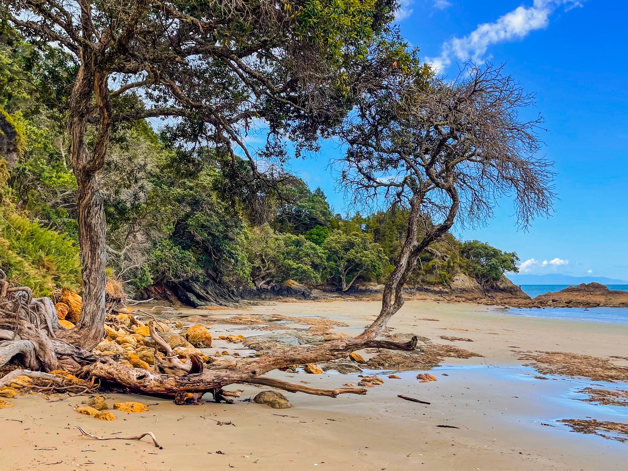
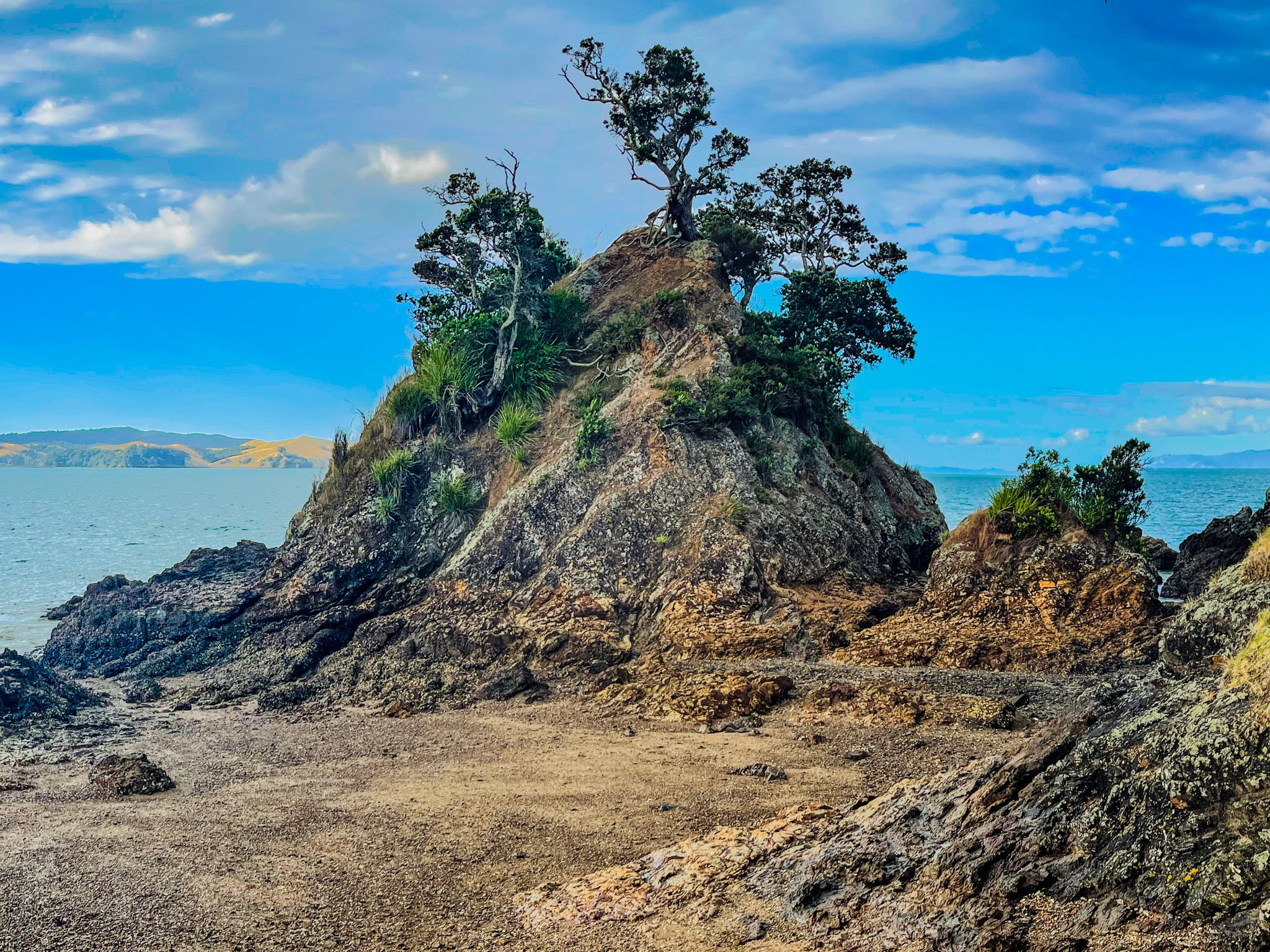
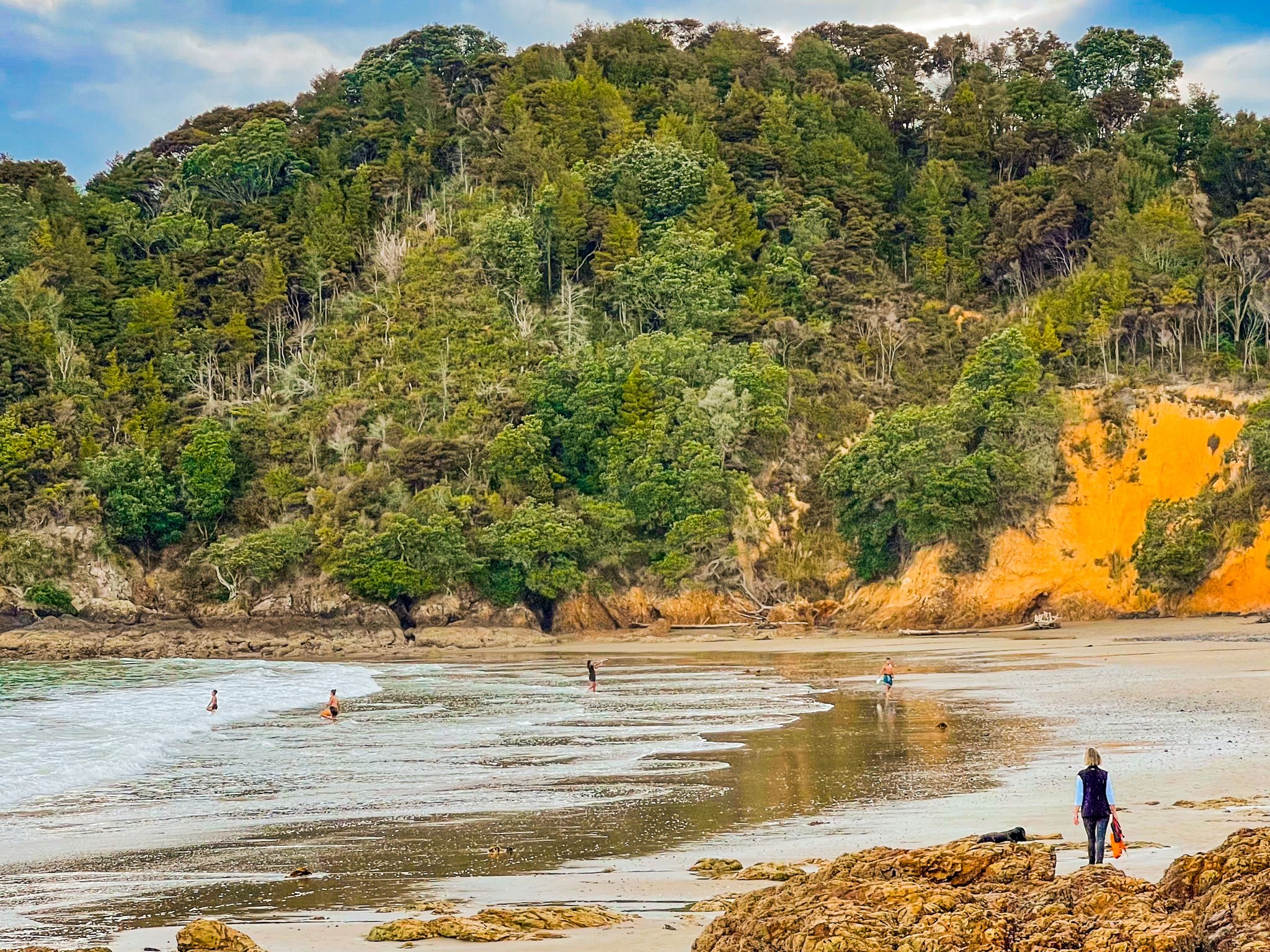
Just beyond Waitī Bay, the small, secluded Tuturau Bay is the first section of the walk to the beautiful Tawhitokino Beach, with a quite easy rock walk around the small point separating the beaches. This bay is often overlooked, but it is a good swimming beach, sheltered by rocky points at either end.
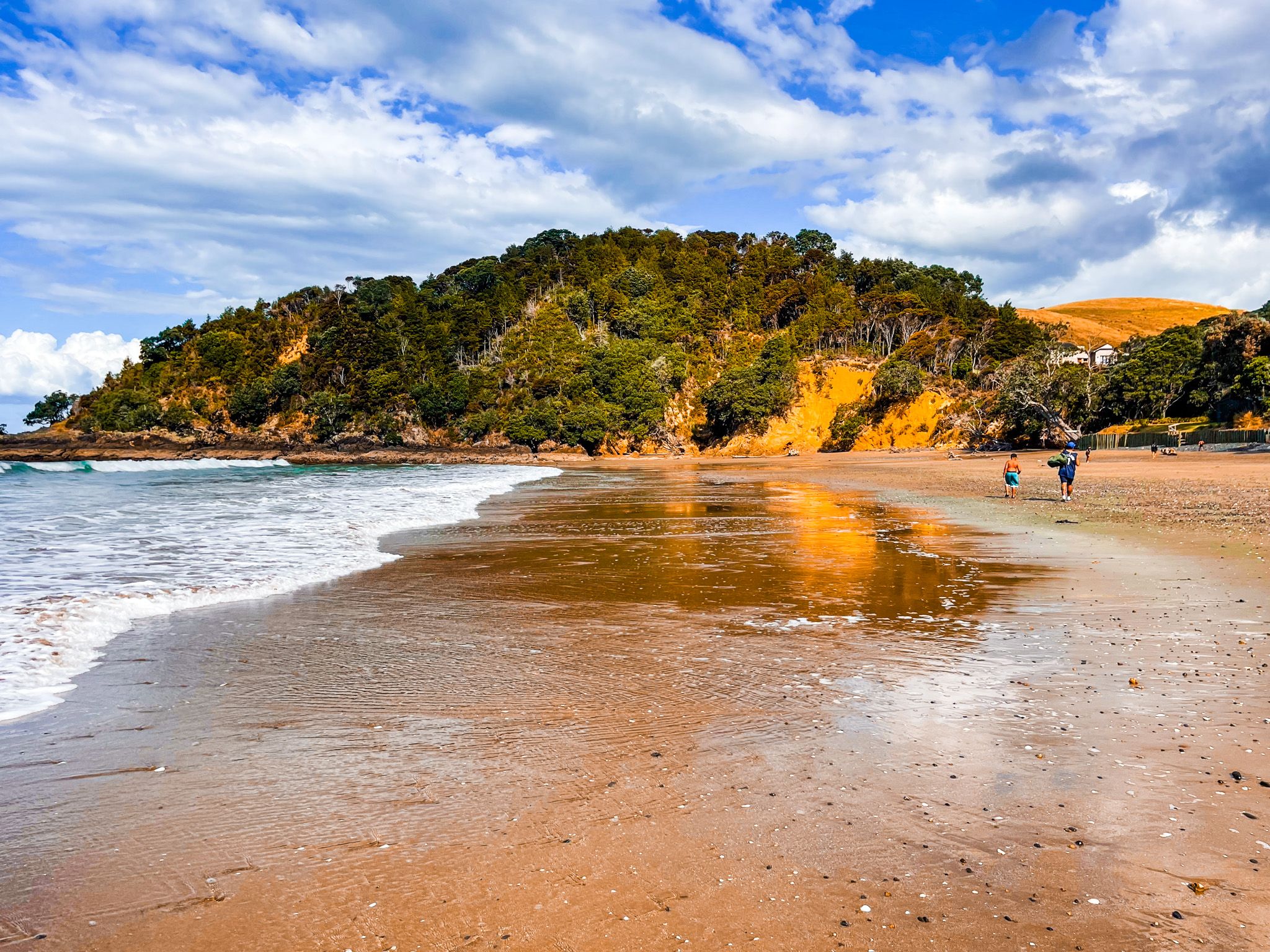
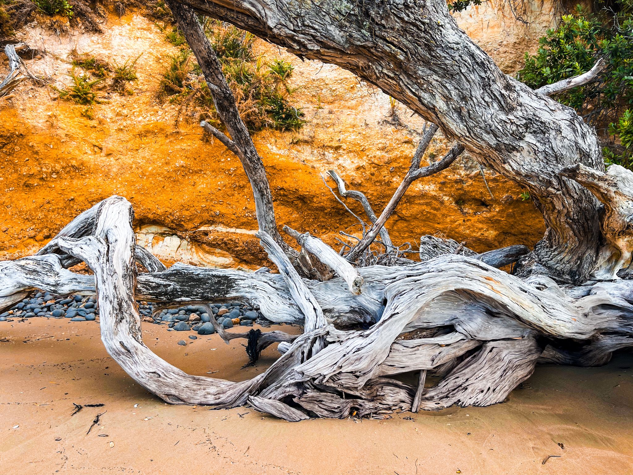
At the eastern end, the rock is a stunning orange colour with interesting sculpted patterns. Nearby, you will see large old tangles of driftwood crafted from tree stumps and trunks. The short walk through mostly regrowth forest from the bay over Papanui Point to Tawhitokino Beach is at the beach's east end.
How to get there
From Auckland, the drive takes around 55 minutes via Clevedon. From Downtown Auckland, take the southern motorway to the Hill Road off-ramp, then head east-northeast via Hill Road, Stratford Road, Alfriston Road, Alfriston-Ardmore Road, Clevedon-Takakani Road, and Clevedon-Papakura Road to Clevedon. From Clevedon, continue northeast on the Clevedon-Kawakawa Road (a section of the Pacific Coast Highway) for 15 minutes to Kawakawa Bay. You can also reach Clevedon via the Pōhutukawa Coast, which takes a few more minutes.
Other nearby places to visit on the Pacific Coast Highway include Waitawa Regional Park, Ōrere Point, Tāpapakanga Regional Park, Waharau Regional Park, Kaiaua, Pūkorokoro / Miranda, and the Robert Findlay Wildlife Reserve on the Seabird Coast.