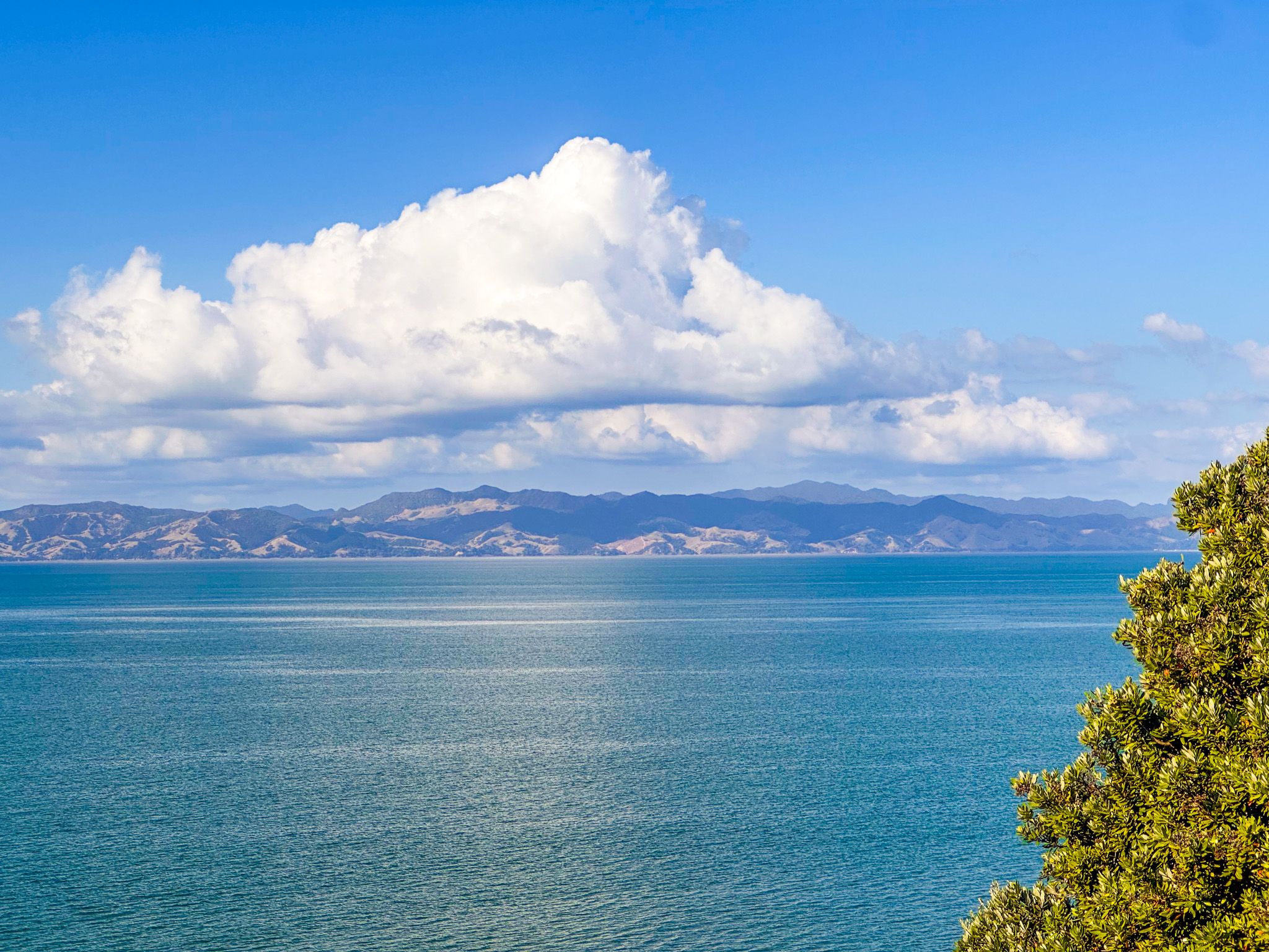
Coastal Farm Park on the Firth of Thames
Tāpapakanga Regional Park lies on the western Firth of Thames coast in southeast Auckland, between Ōrere Point to the north and Waharau Regional Park to the south. The park covers working farmland, with sheep and cattle grazing the paddocks, set against a backdrop of Hunua Ranges foothills. The Firth's calm waters and the Coromandel Peninsula form the eastern view. It is primarily a camping and day-walking destination, with a 1 km-long beach, several campgrounds, picnic areas, the historic Ashby Homestead and good tracks. The park was purchased by Auckland City in 1990 and opened in 1995.
Māori Connections
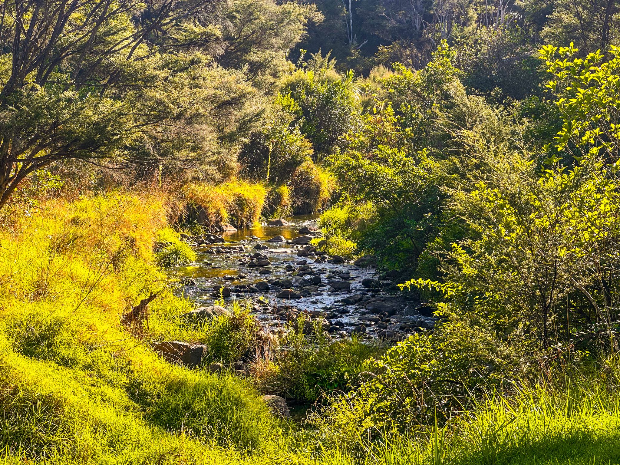
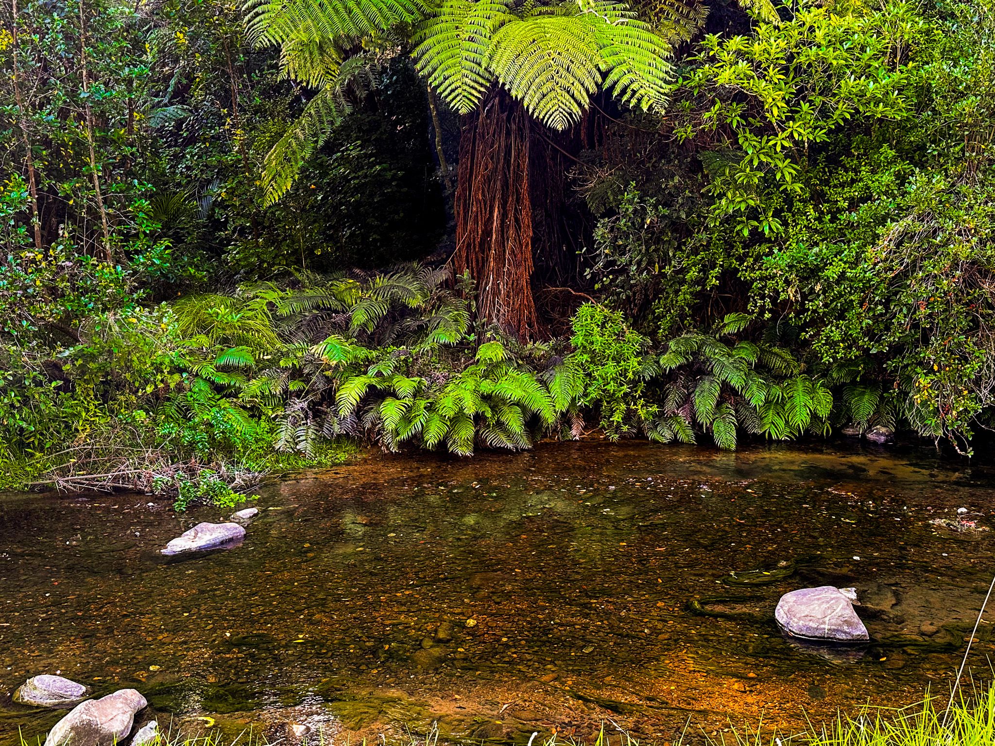
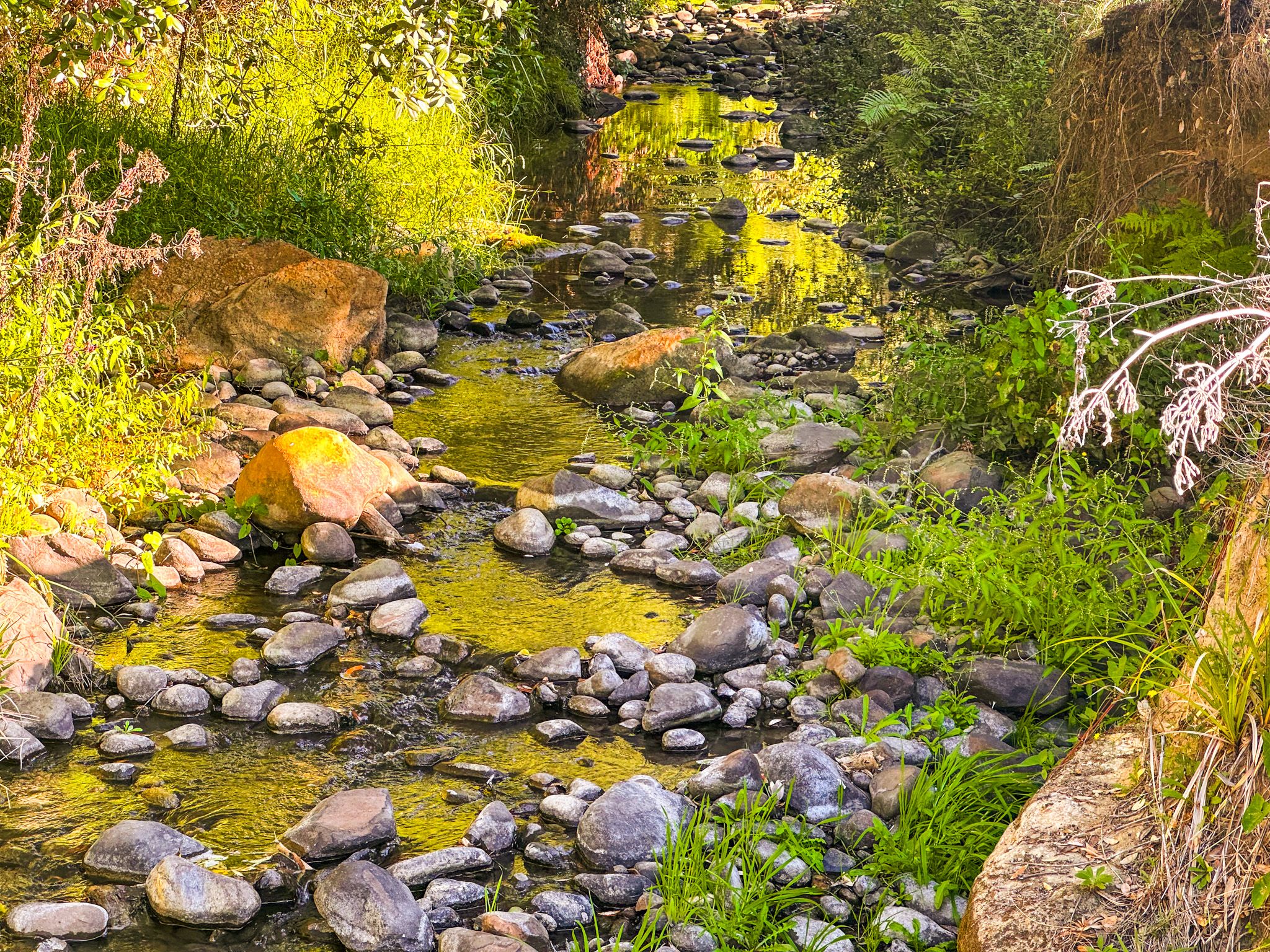
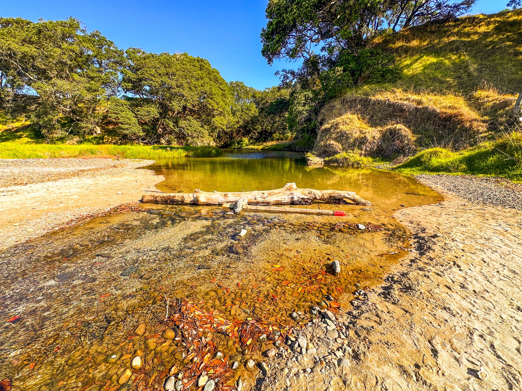
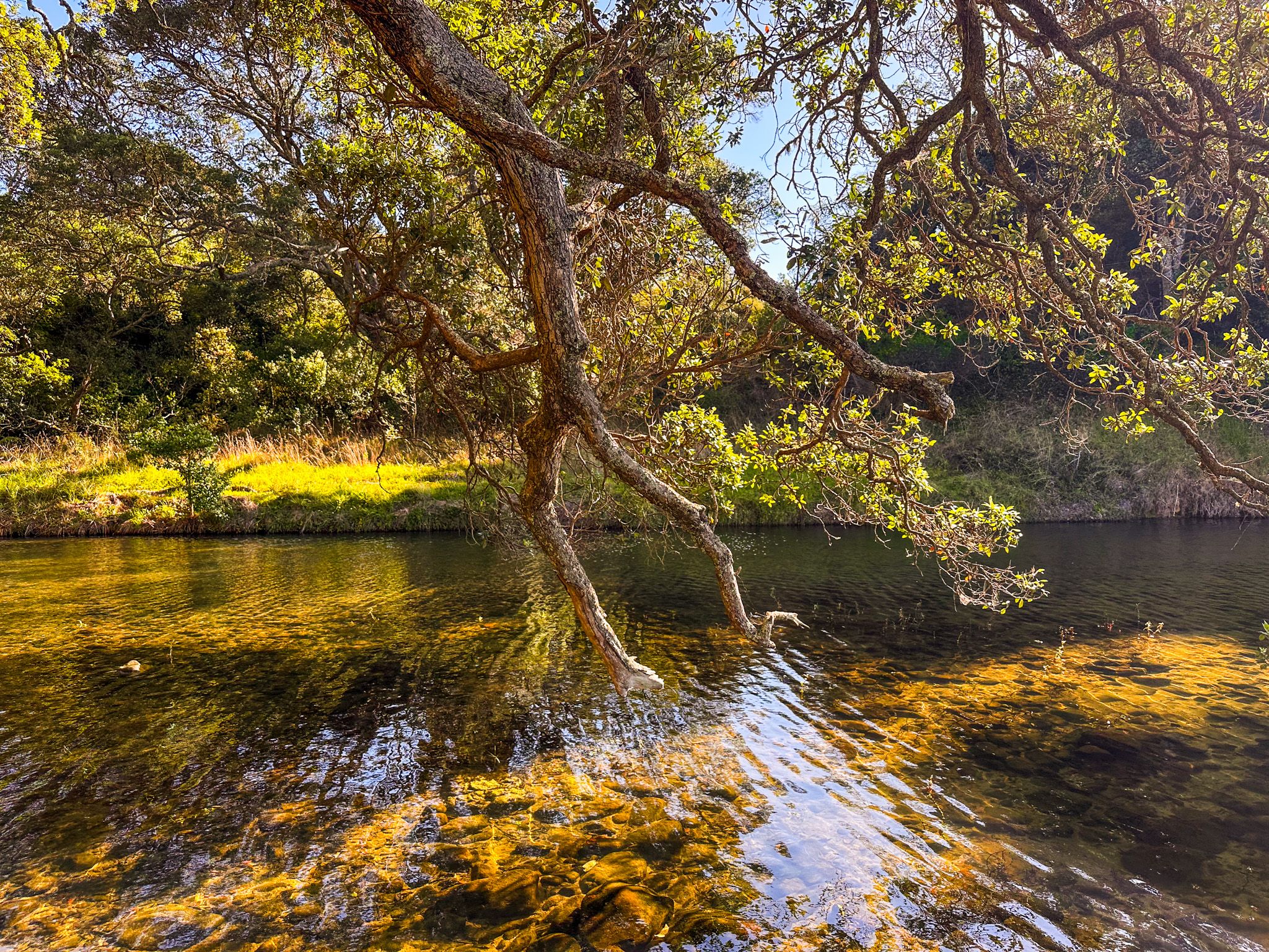
The area has significant Māori connections. The coast along this section of the Firth was historically occupied by Marutūahu iwi (mainly Ngāti Pāoa and Ngāti Whanaunga), for whom the productive tidal flats and coastal bush provided rich food resources. The Tāpapakanga Stream, which runs through the park to the sea, is the park's central natural feature.
The name Tāpapakanga is a curiosity. It translates as "heaped stones," but this refers to traditional river-side gardens, terraces, and storage pits in the area. The stream supported substantial cultivation of taro and kumara, and some of these workings can be seen with the pā and stonefields on the short Historic Loop Track.
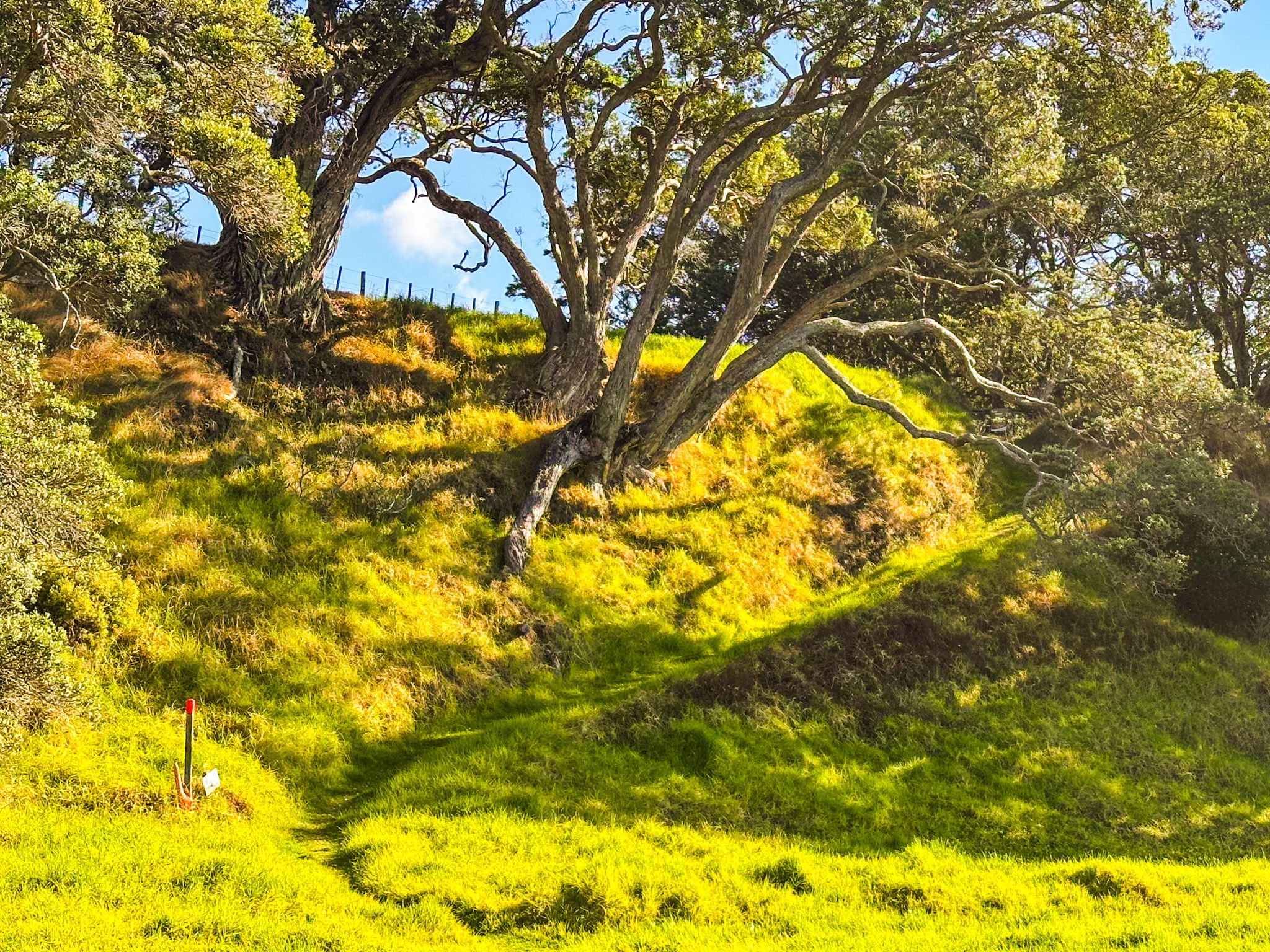
Walking Tracks
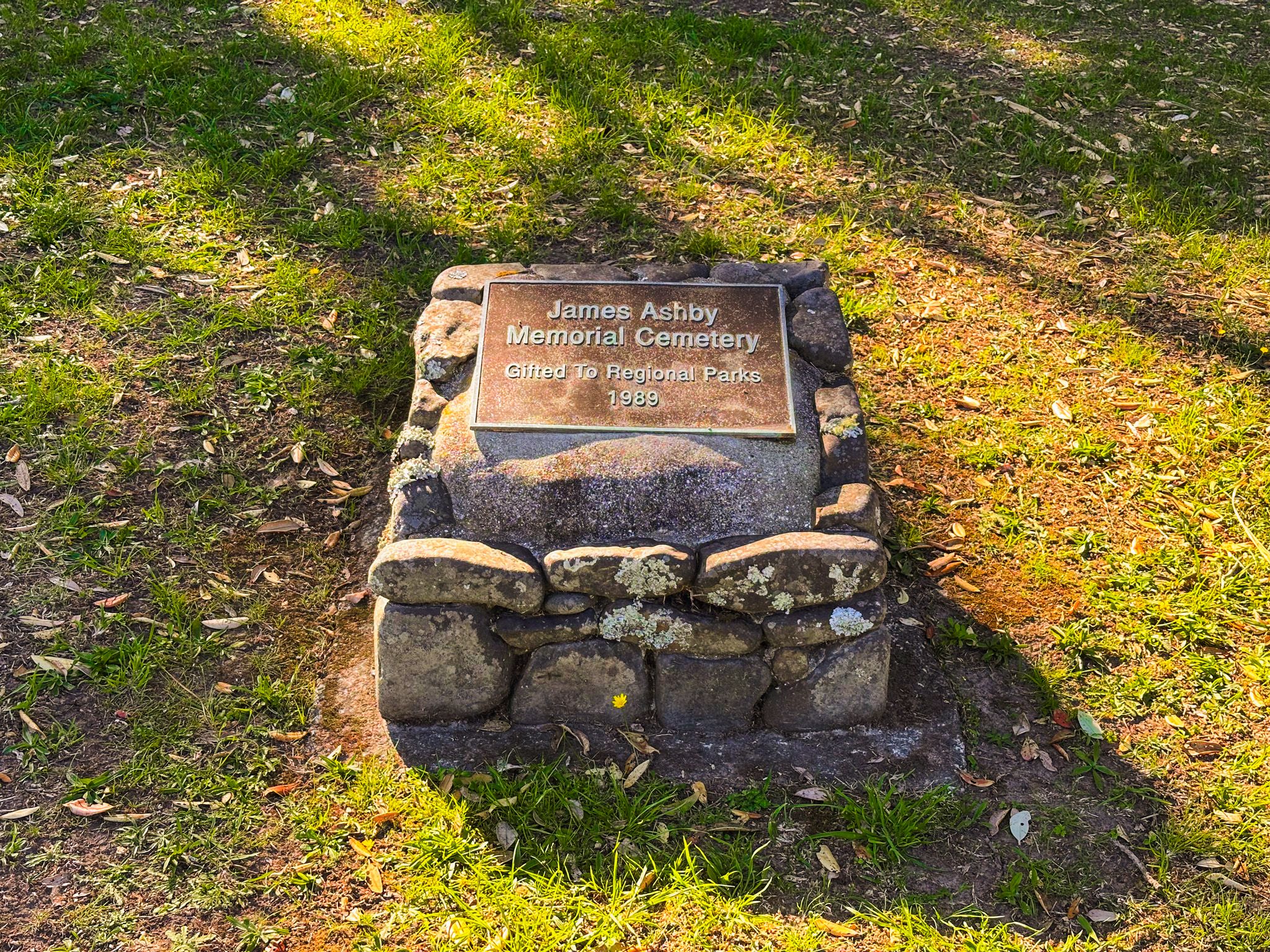
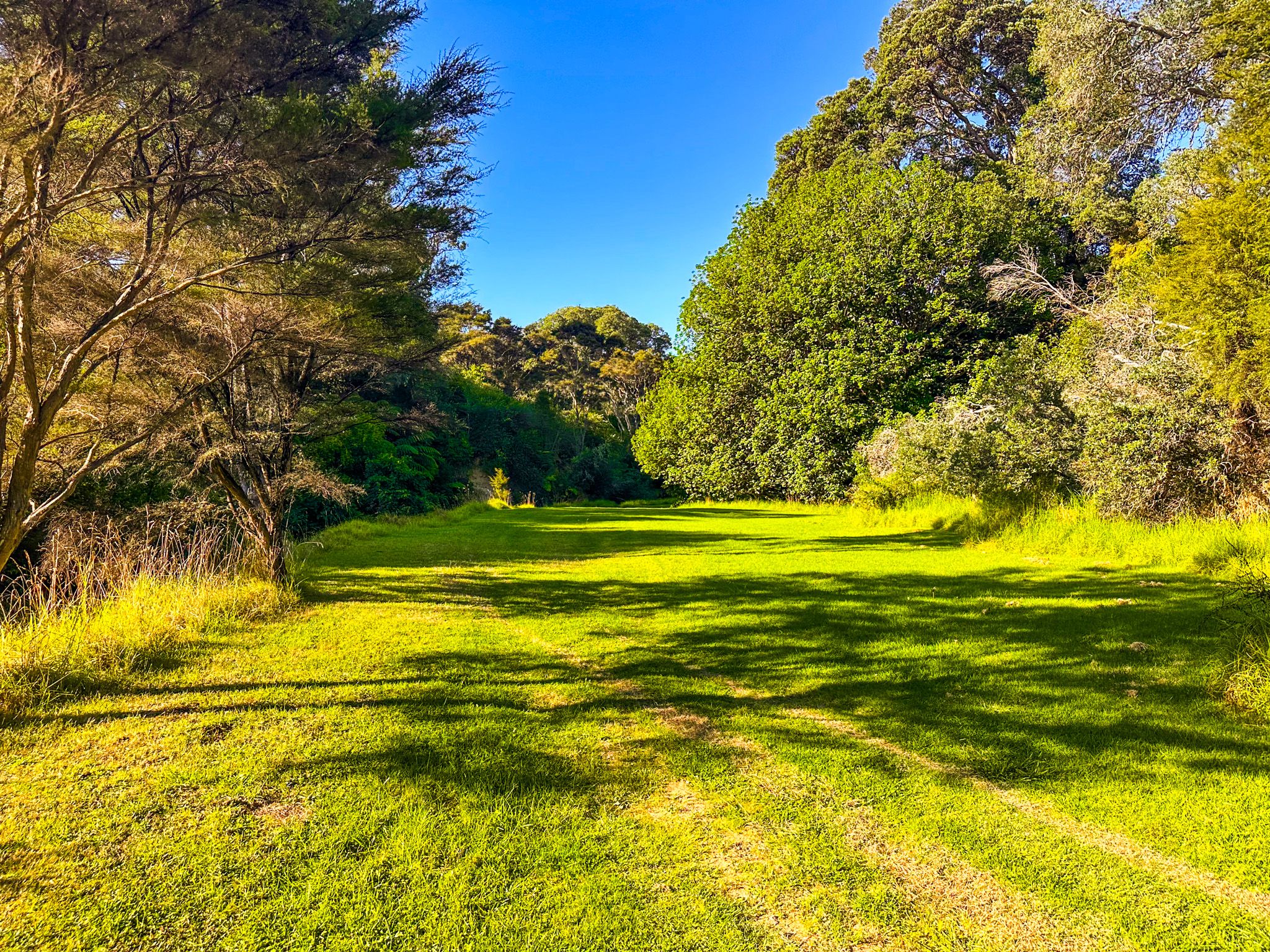
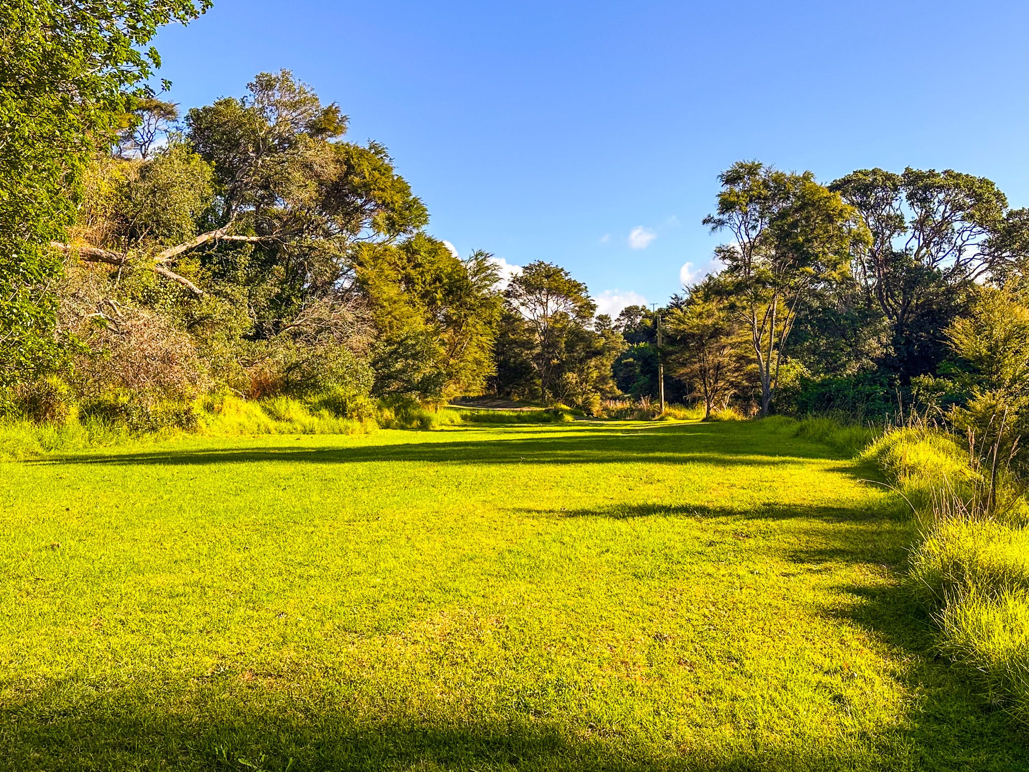
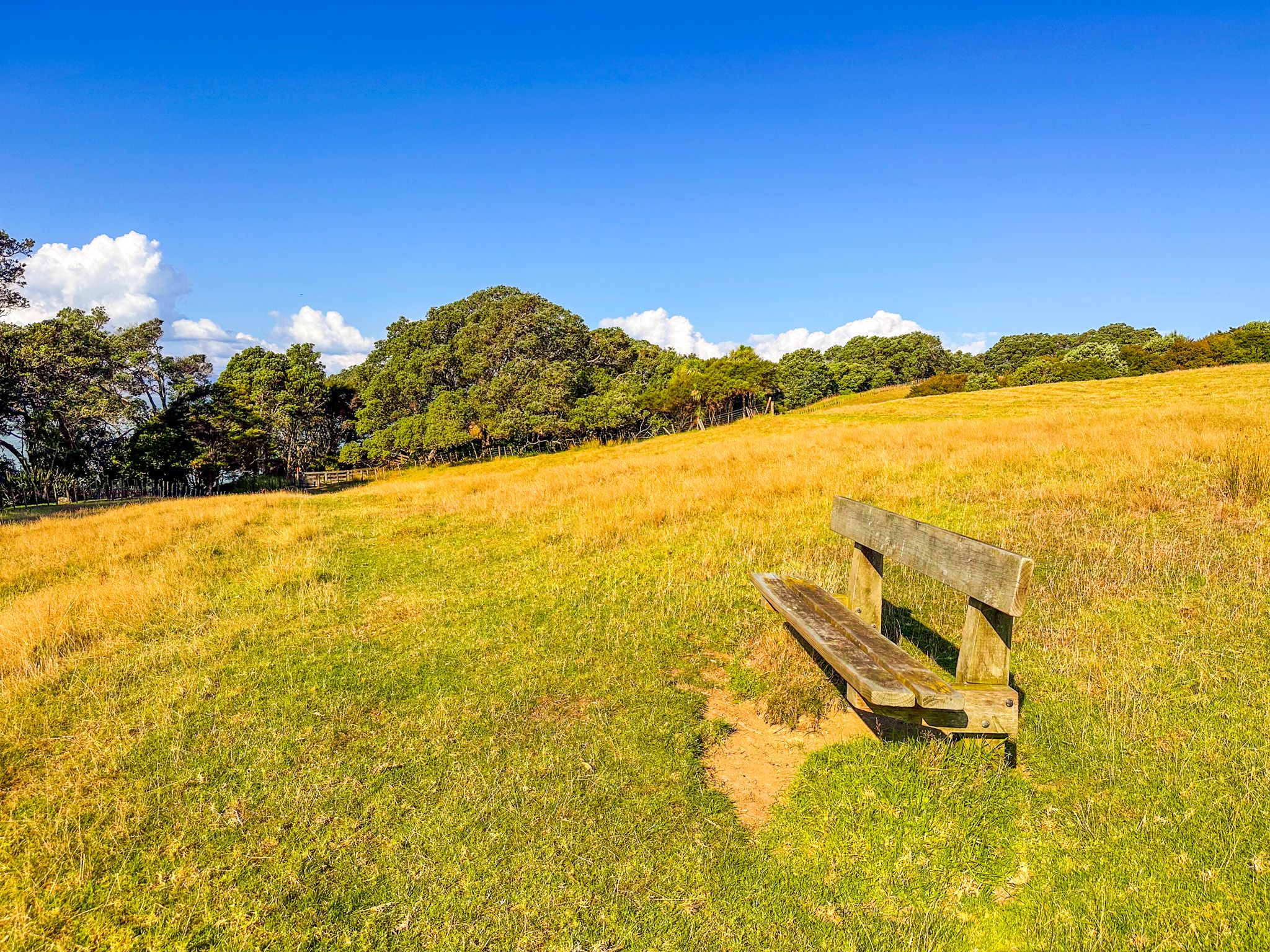
There are three main walking tracks in the park. The Historic Loop (1.5 kilometres, 30 minutes) is the shortest, visiting the Ashby Homestead and historic Māori areas of habitation near the main car park. The Farm Walk (5.9 kilometres, two hours) and the Coastal Walk (7.5 kilometres, 2 hours) are longer loops that take in the cliffs above the eastern coast of the park, the historic Ashby Cemetery, farmland ridges, the stream valley and regenerating forest. The longer walks are easy but include the odd steeper section and are exposed in places.
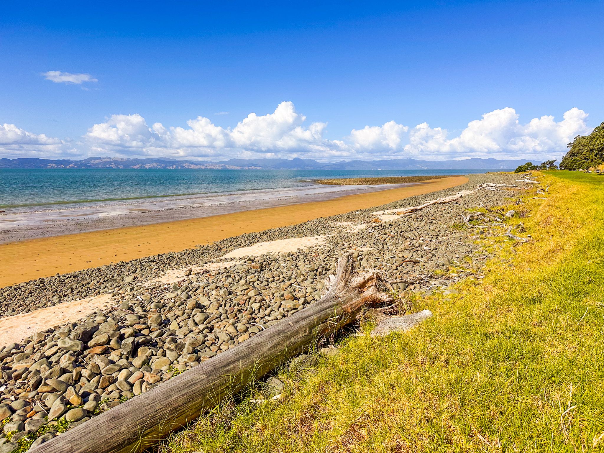
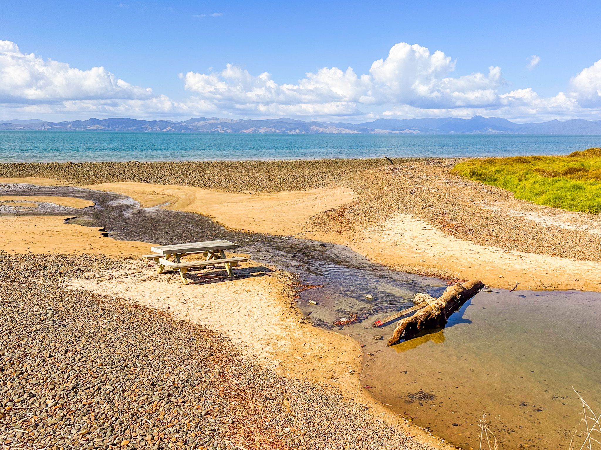
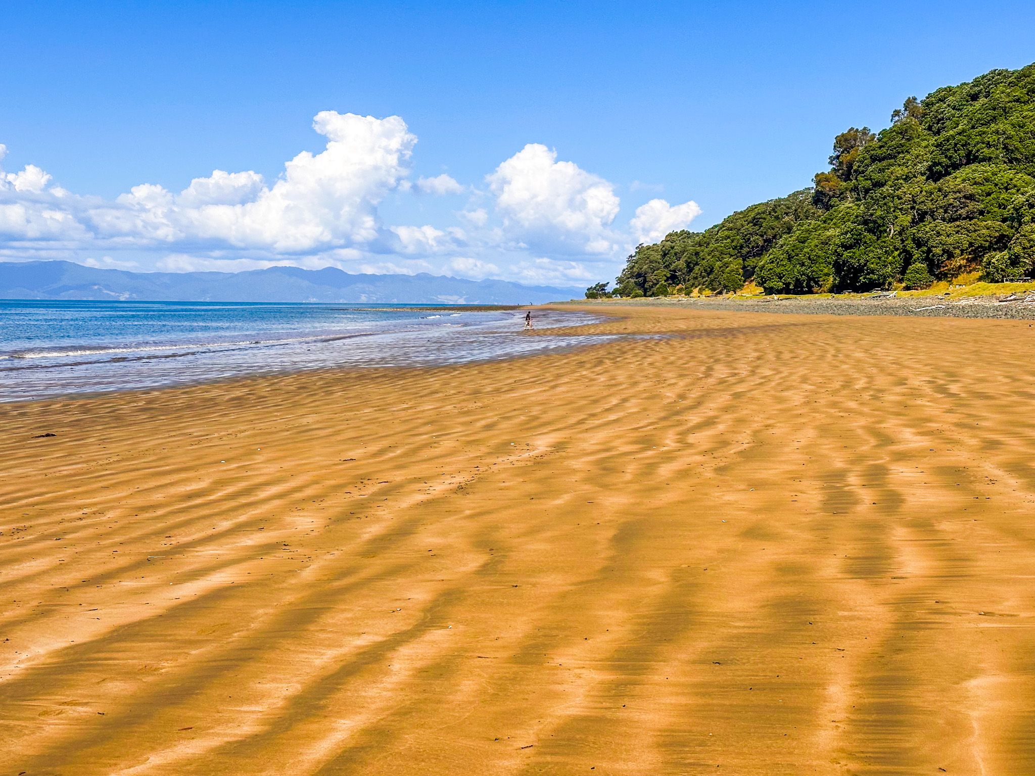
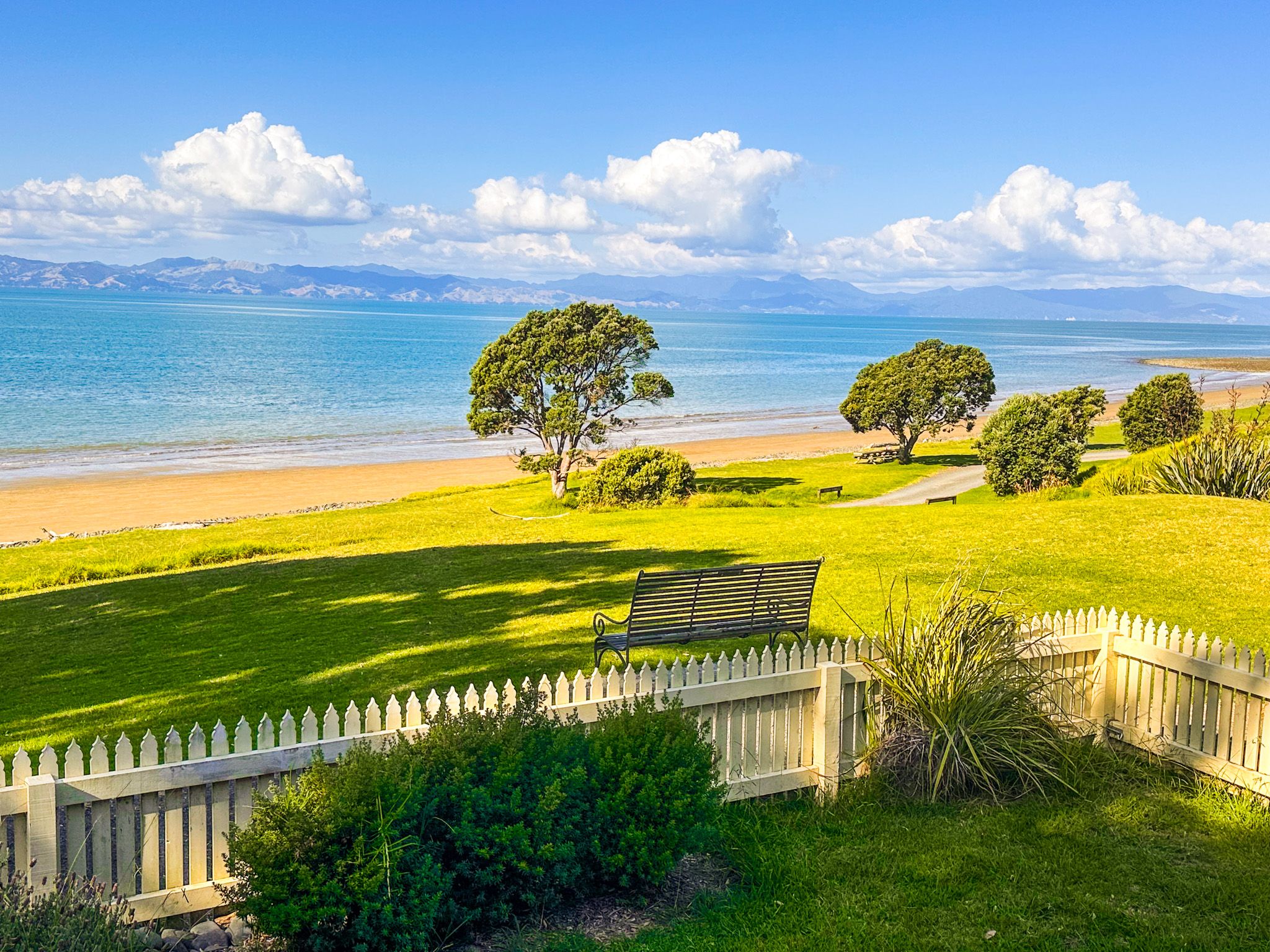
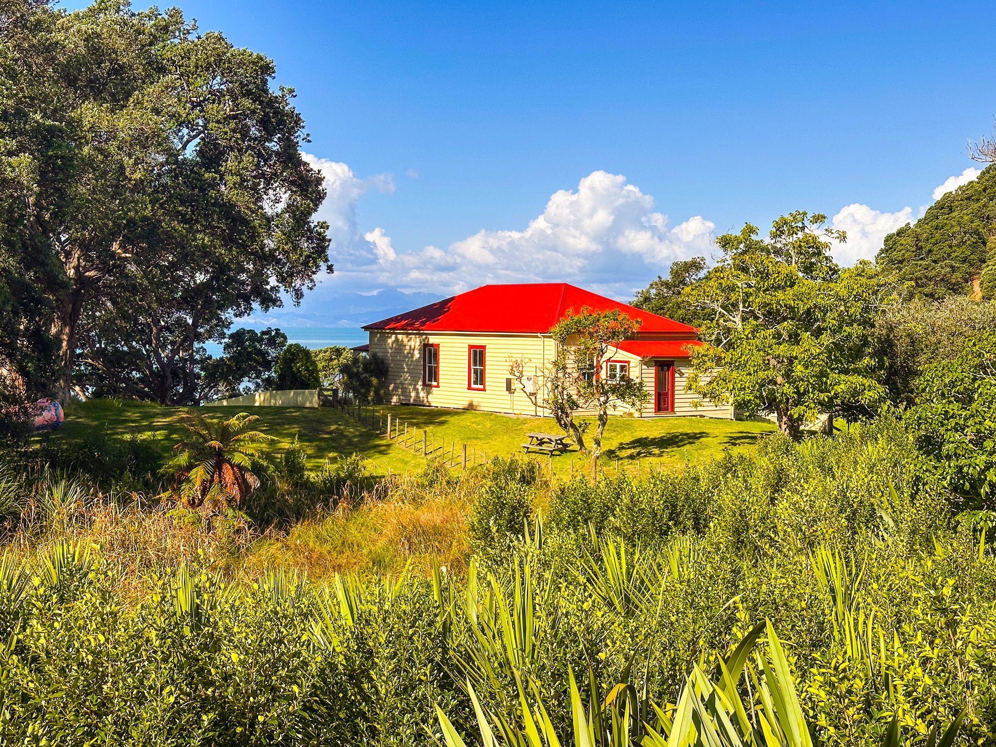
The Beach and Ashby Homestead
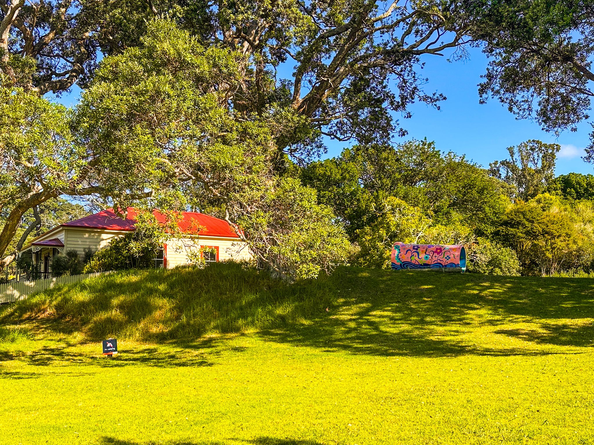
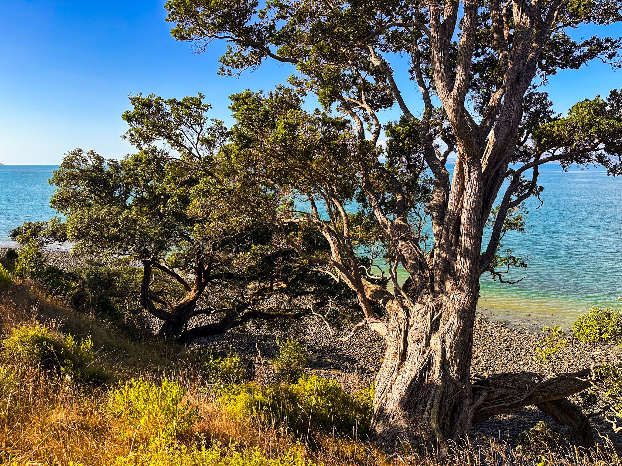
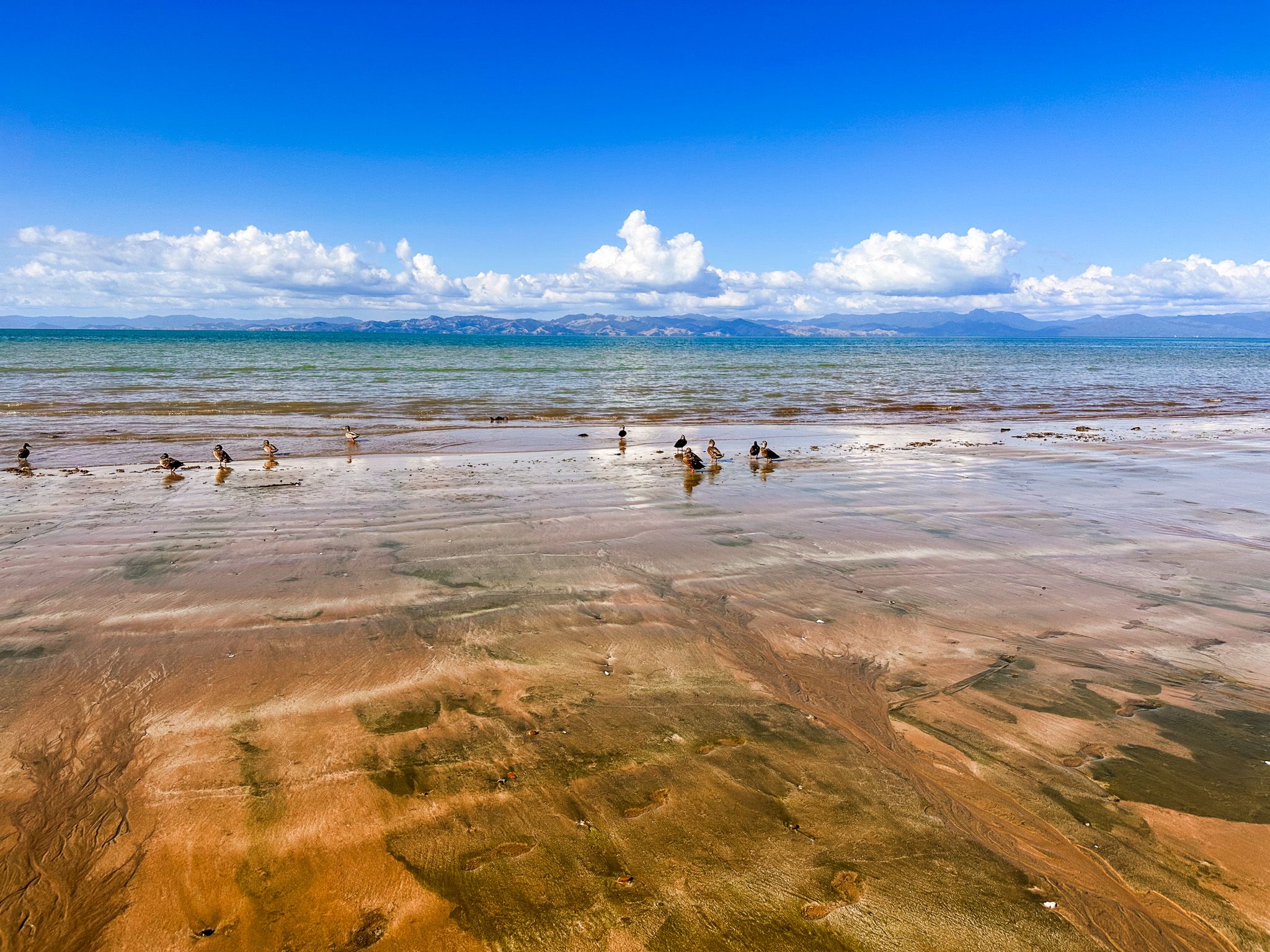
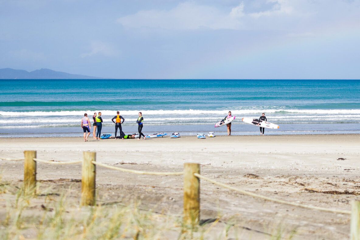
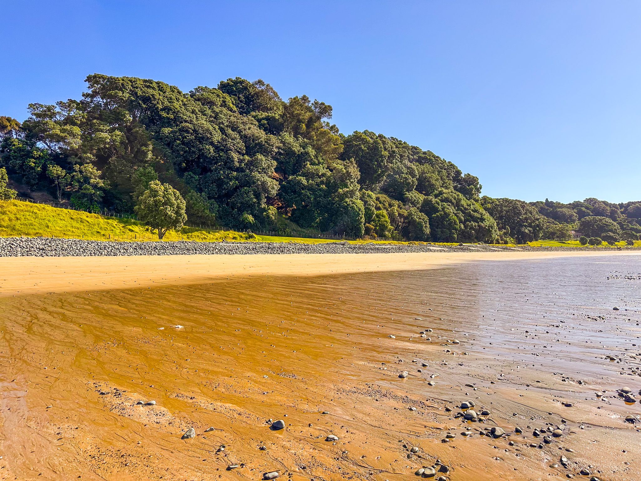
The main access into the park takes you to a car park above Tāpapakanga Beach, with a sloping grass reserve and historic Ashby Homestead to the northwest. The beach here is beautiful with a long stretch of golden sand. Walking southeast for about 500 metres takes you to the mouth of the Tāpapajanga Stream, beyond which the sand is displaced by expansive banks of pebbles and stones, a feature of the coast, especially as you head into the Firth. If you cross the stream, you can spot an access point for the Coastal Walk. Walking northwest takes you below cliffs, with some unusual bright orange and gold boulders.
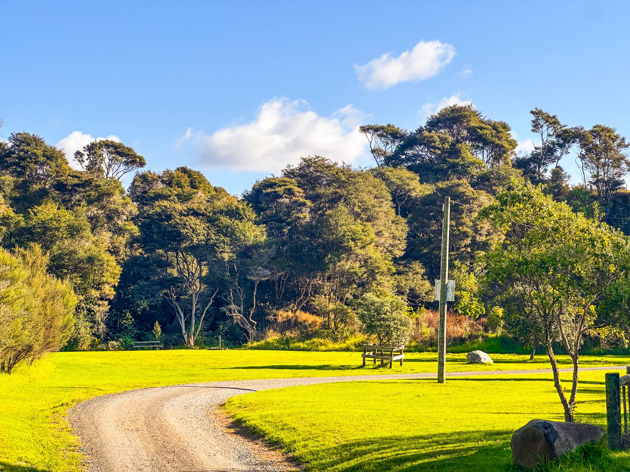
The homestead is an easy walk from the car park or the beach. The surrounding grass reserve is dotted with mature sheltering trees, and there is an area of recovering forest and a small wetland behind and to the east of the house. All perfect locations for a picnic with some shade.
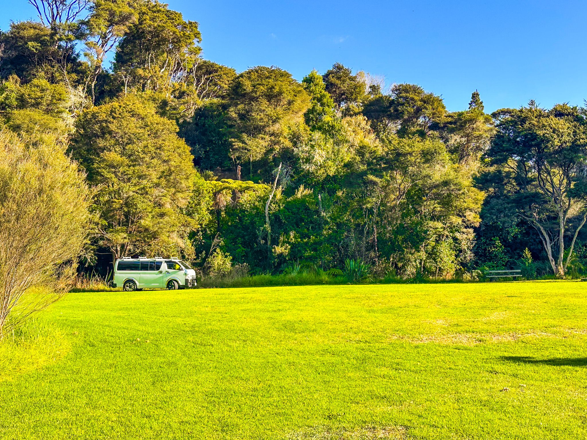
Tāpapakanga Camping
The park has five campgrounds of varying character, from beachfront to streamside, all bookable through Auckland City. Facilities are basic, with composting or chemical toilets and no power, but the settings are excellent.
For tents, there are the Seaview Campground and the Beachfront Campground, both at the northwest end of the park, with short walks to the beach. Self-contained campervans can use the Seaview Campground, plus two locations near the Tāpapakanga Stream. For kayakers on the Te Ara Moana, the Waikaha Stream Campground is at the southeast end of the park.
How to Get There
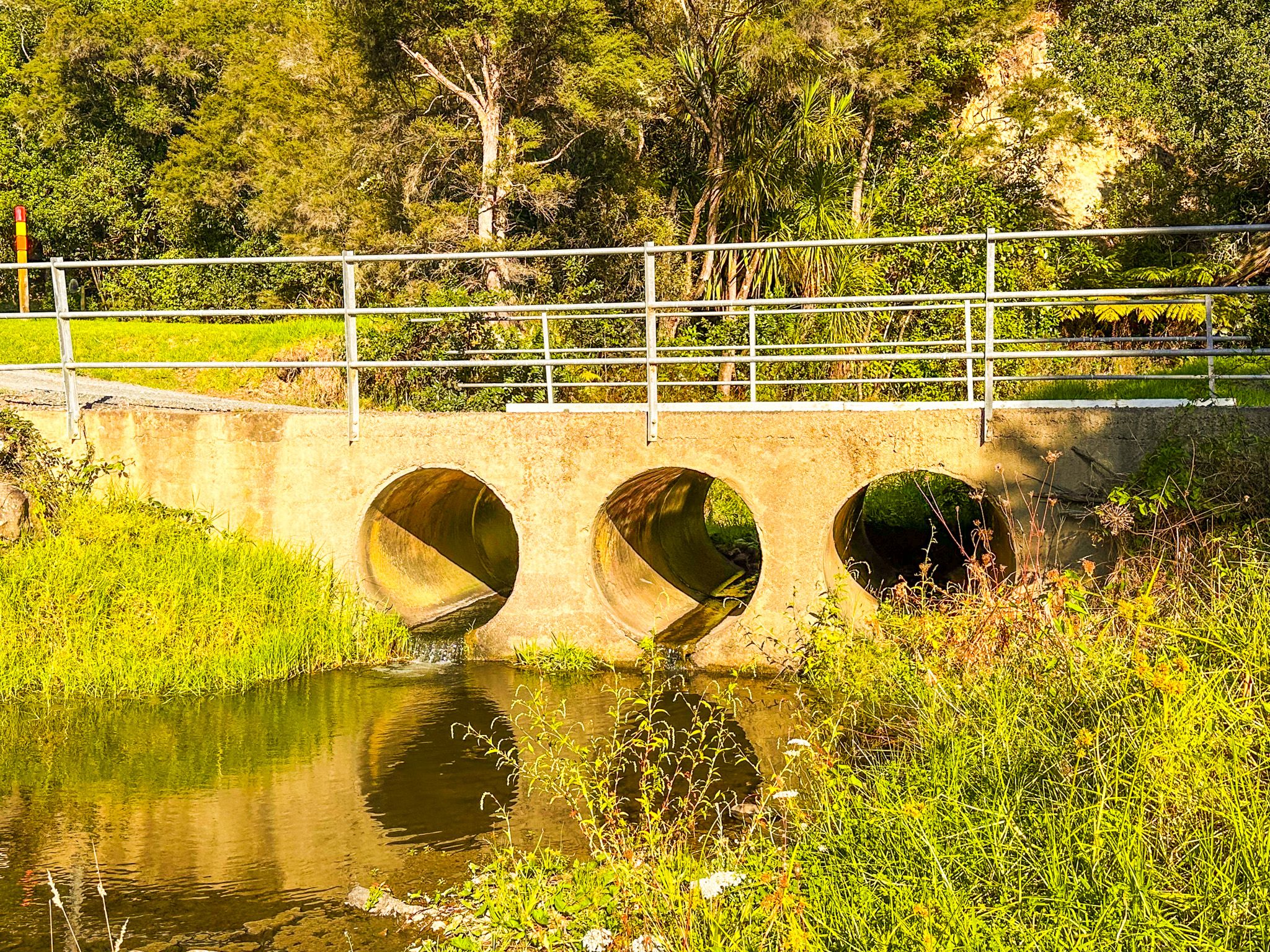
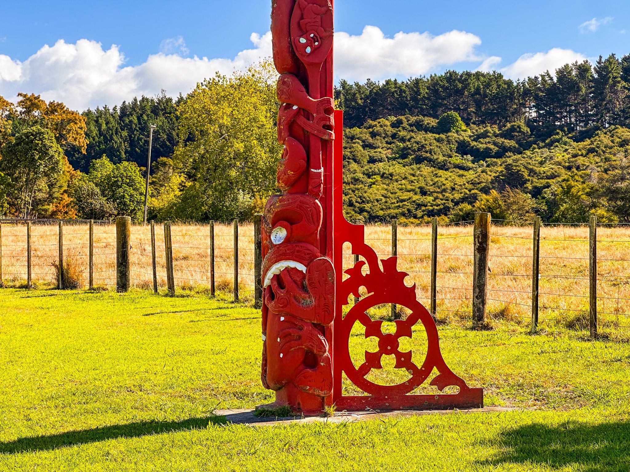
From Downtown Auckland, take the southern motorway south, exit at Hill Road, then head east-northeast via Hill Road, Stratford Road, Alfriston Road, Alfriston-Ardmore Road, Clevedon-Takakani Road, and Clevedon-Papakura Road to Clevedon. From Clevedon, follow the Clevedon-Kawakawa Road east toward Kawakawa Bay, then continue on the Pacific Coast Highway past the turnoff into the park on Deerys Road. There are two large pou that mark the entrance, one of which commemorates the iwi association with James Ashby. The drive takes around 80 minutes and is 68 km.
Nearby places to visit include Mātaitai Bay, Waitawa Bay and Pāwhetau Pā, all within Waitawa Regional Park; Tawhitokino Beach, Ōrere Point, Waharau Regional Park, Kaiaua and Pūkorokoro / Miranda further south along the coast.