One of Auckland's Secret Beaches
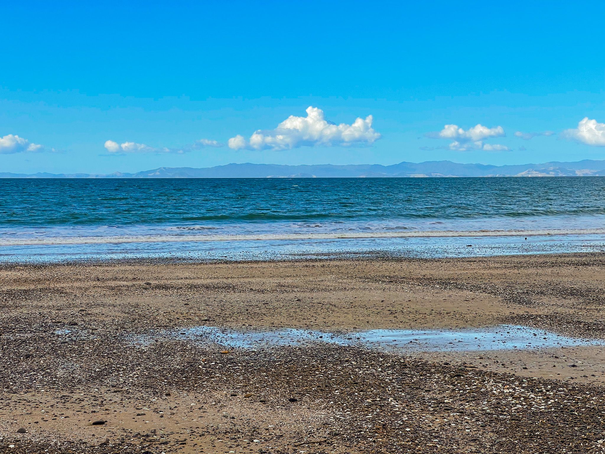
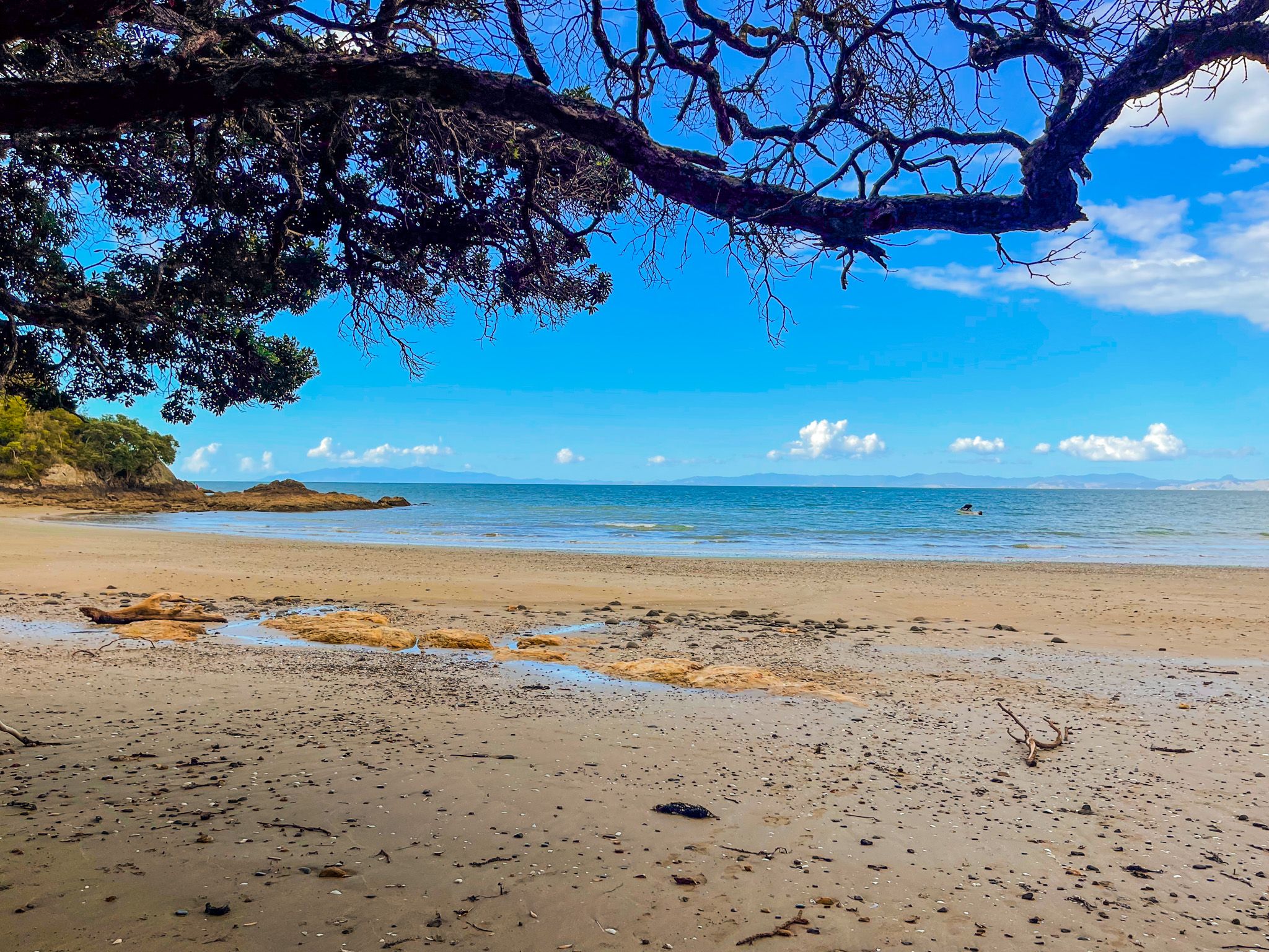
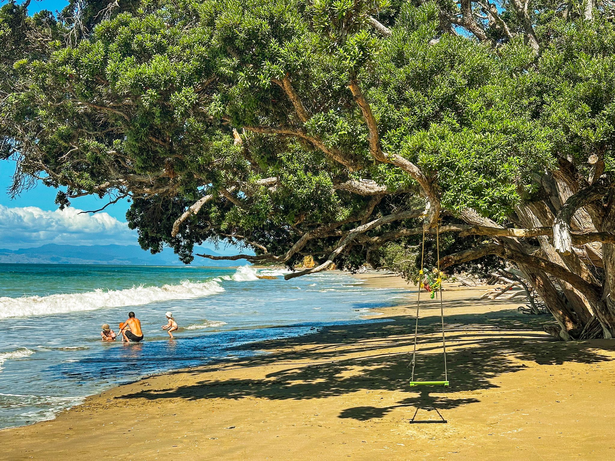
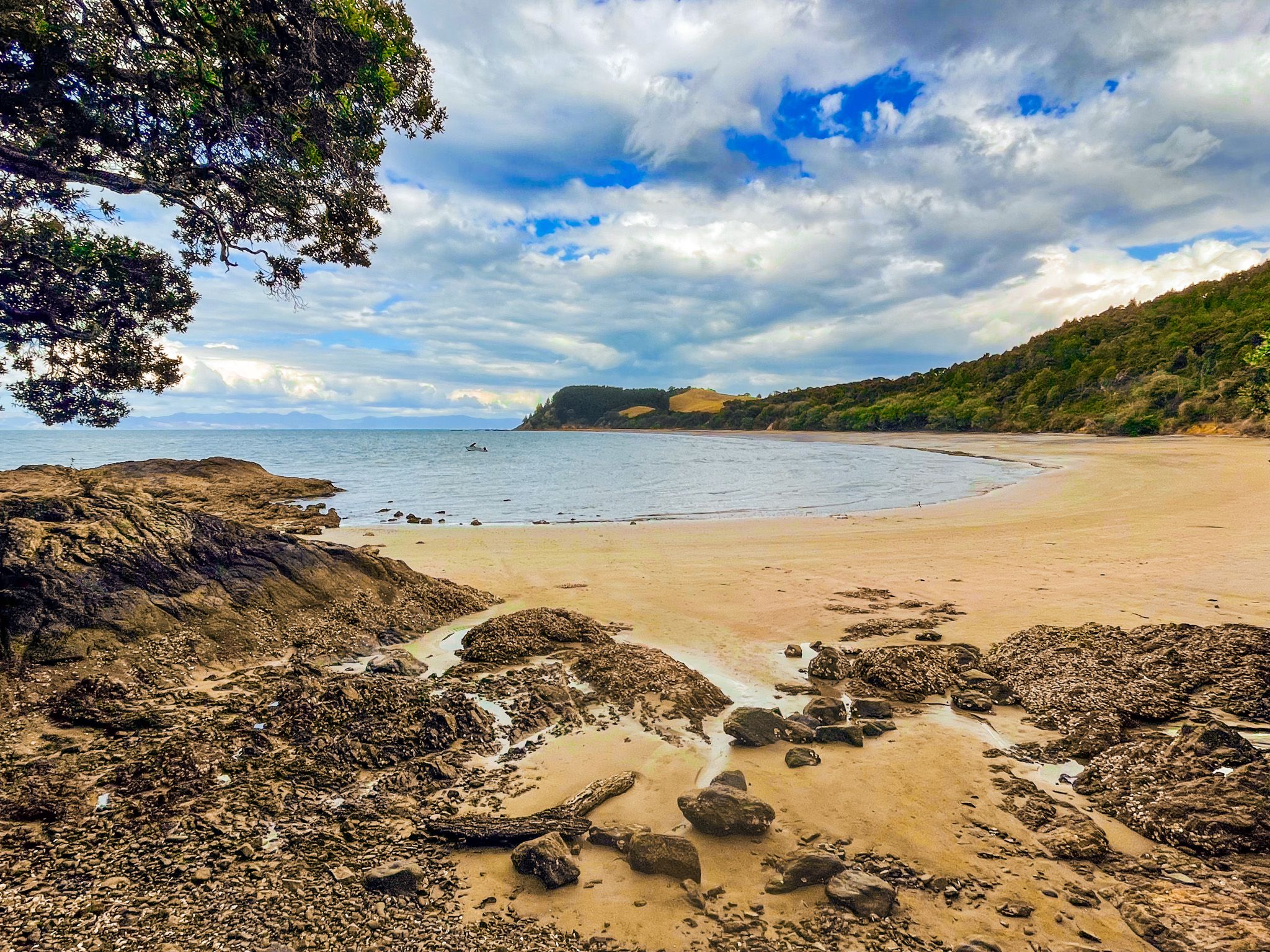
Tawhitokino Beach, in Tawhitokino Regional Park, is consistently named among the top Auckland secret beaches. The beach is a sandy crescent, fringed with mature pōhutukawa and bush, with safe swimming and views across the water to Ponui Island and the Coromandel Peninsula. It can only be reached on foot or by boat, which is precisely why it has retained its rating. However, the effort is modest, and the beach is beautiful.
The Walk from Waitī Bay
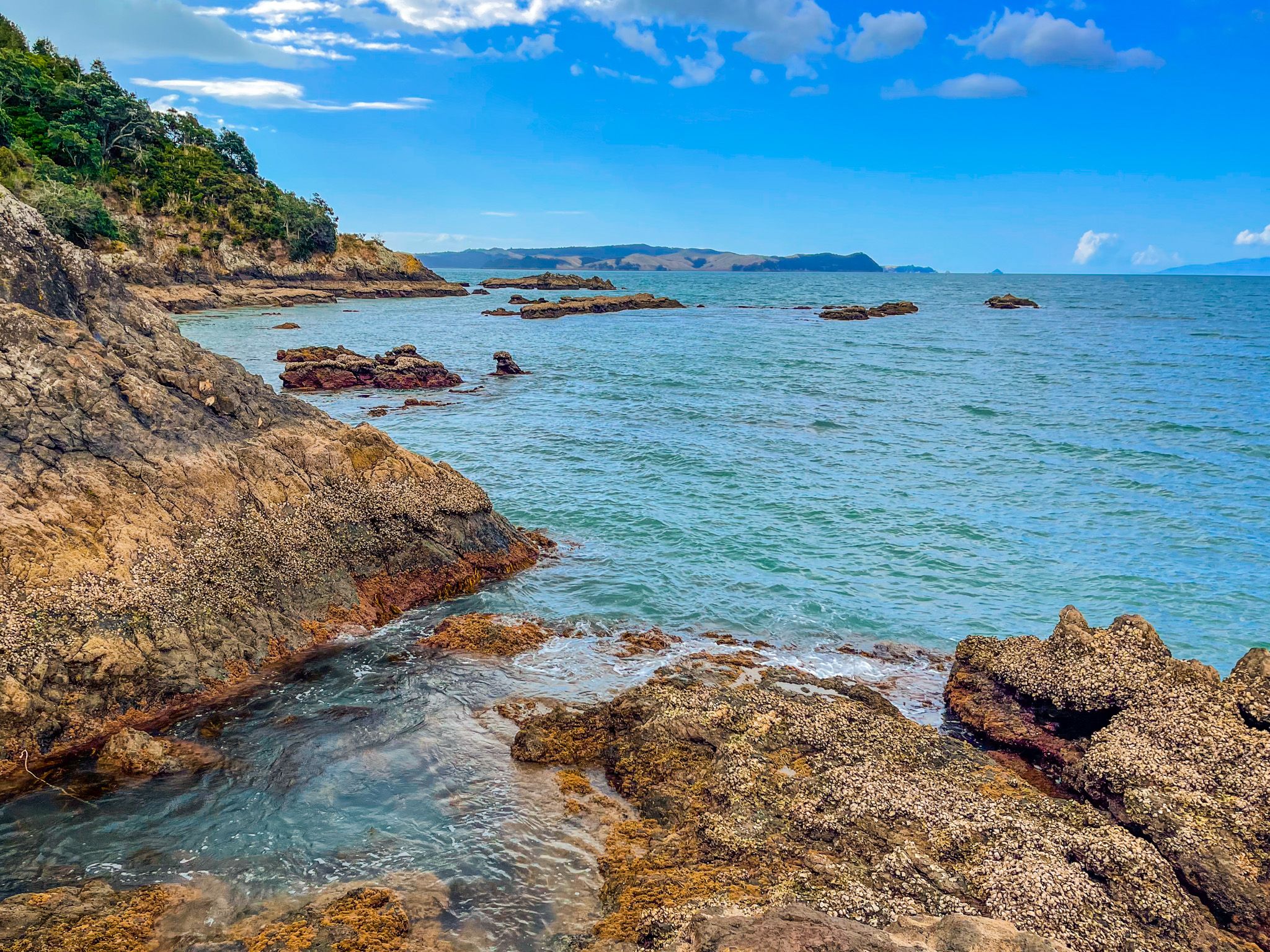
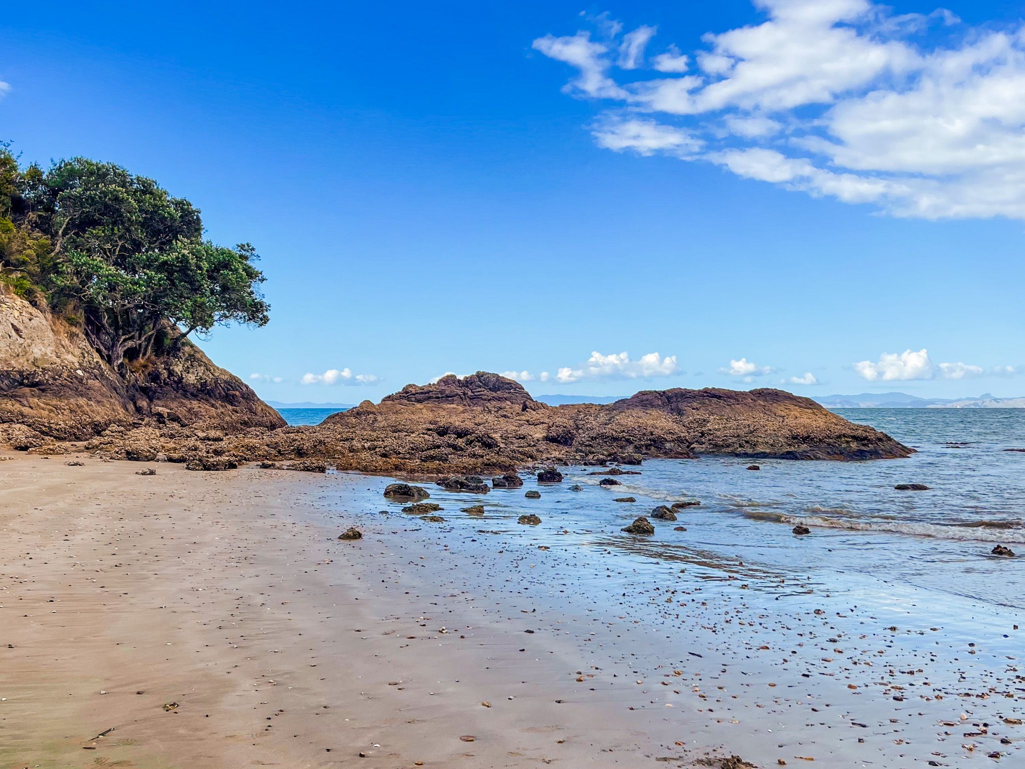
The walk to Tawhitokino begins at Waitō Bay at the end of the Kawakawa Bay Coast Road, about 2.6 kilometres east of Kawakawa Bay. From the southeast end of Waiti Bay, a rocky platform about 150 metres wide must be crossed to reach Tuturau Bay. This may entail some modest rock scrambling and is easier as the tide retreats. The rocks can be slippery when wet.
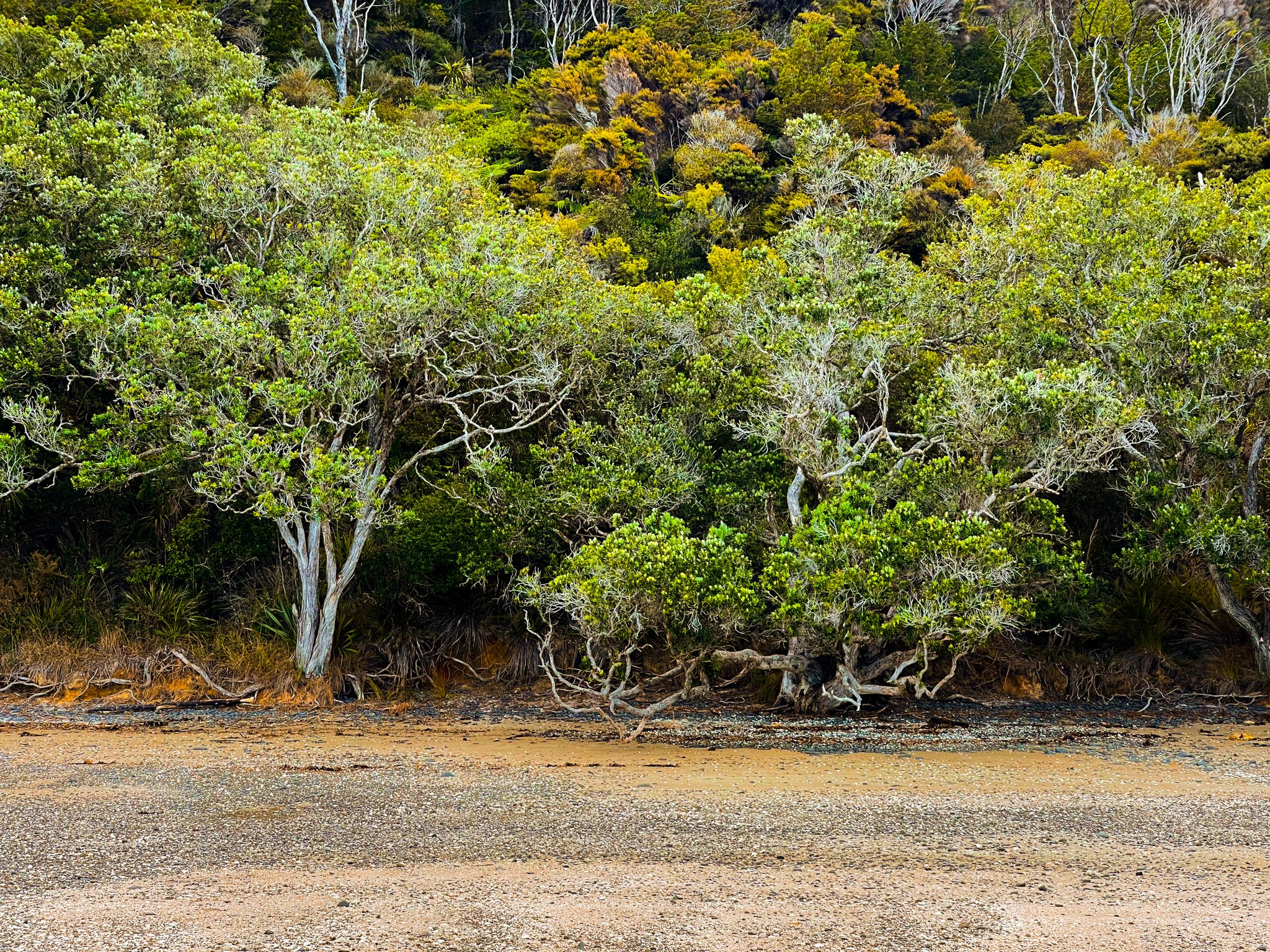
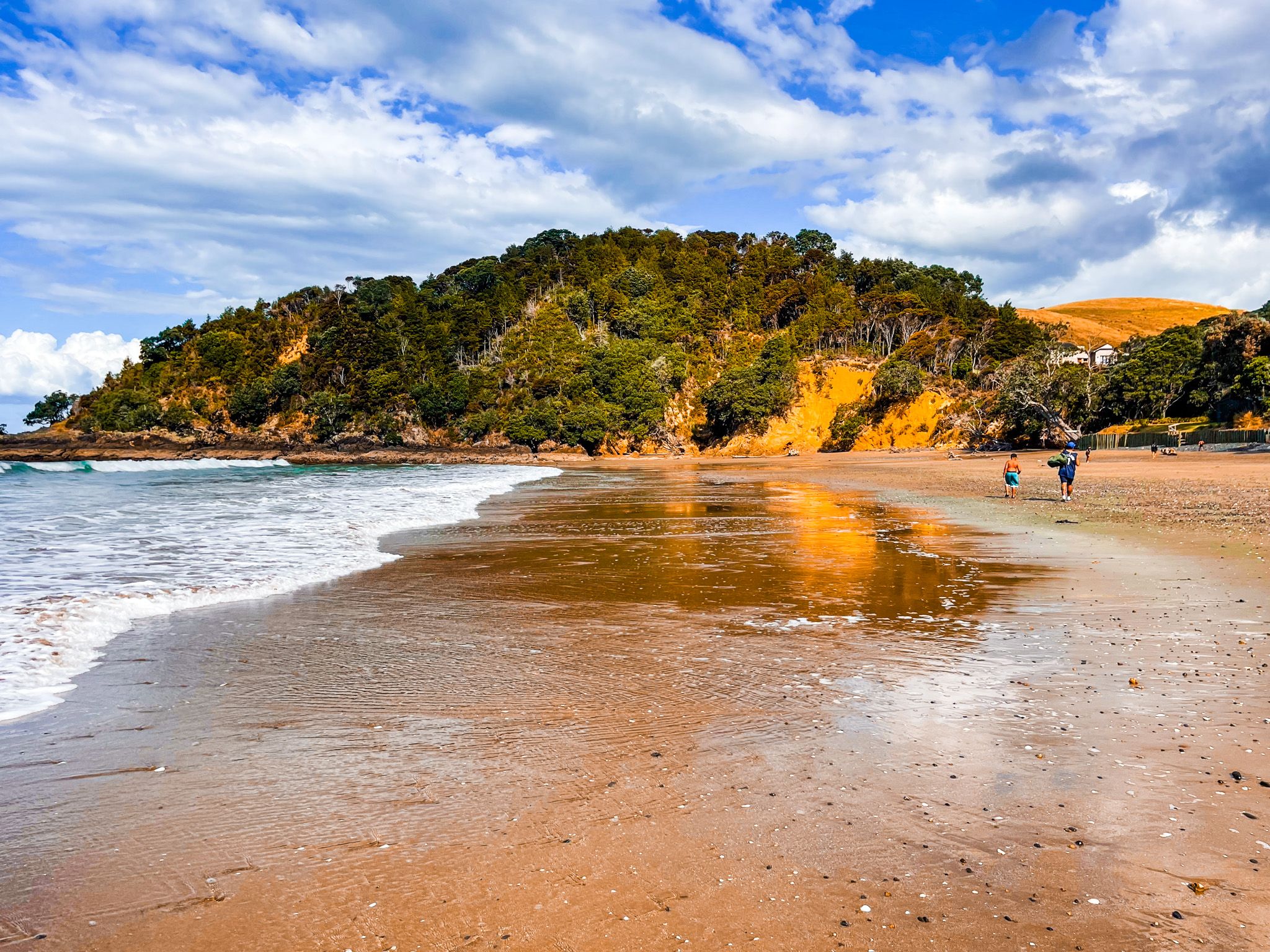
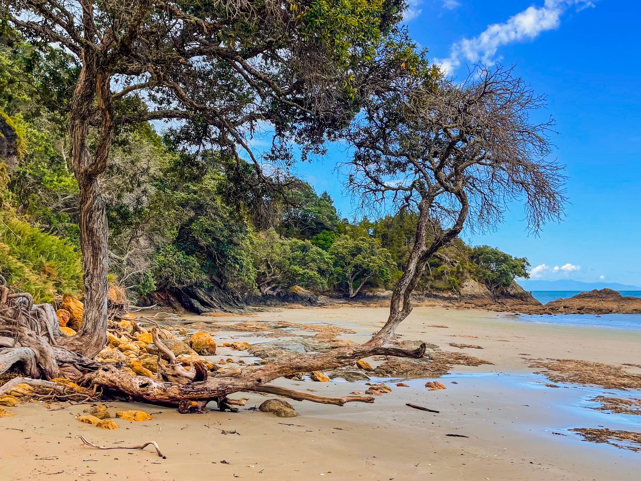
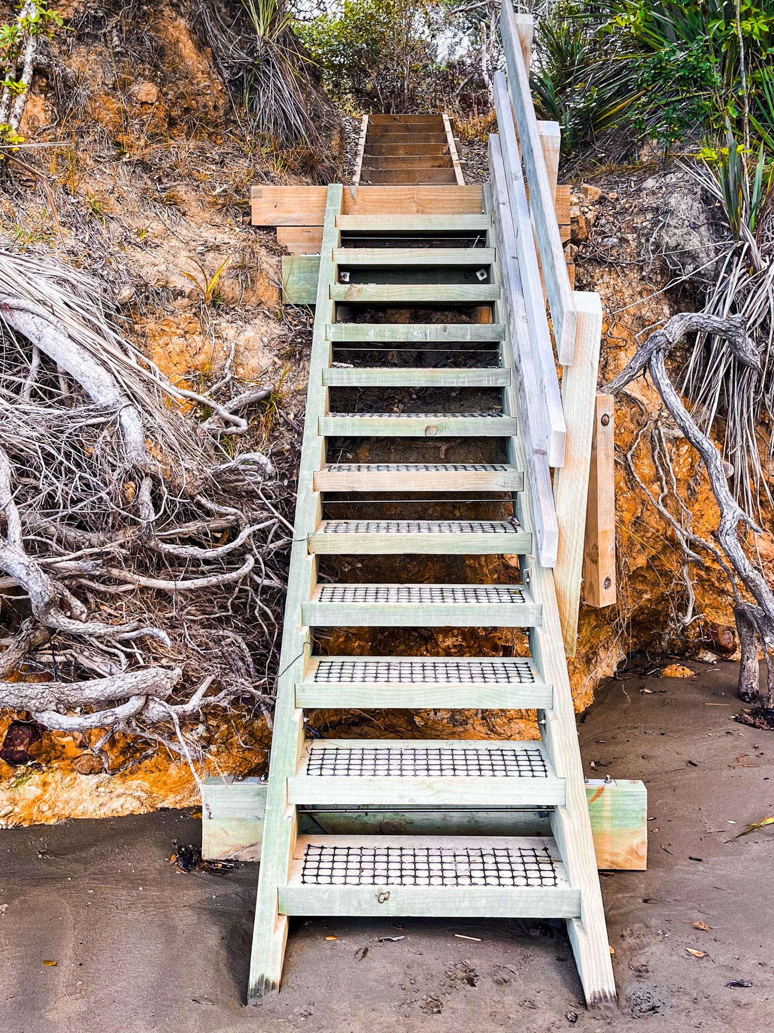
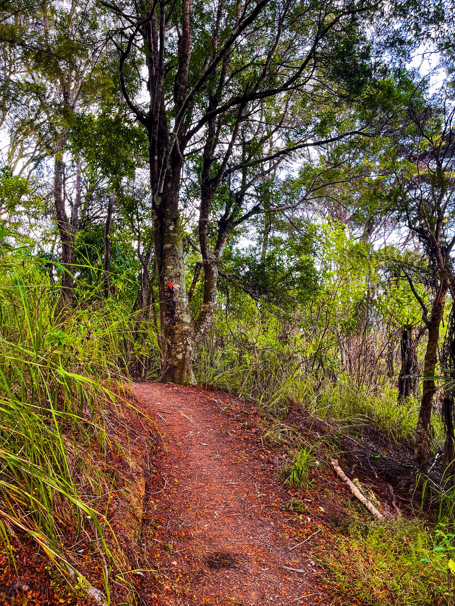
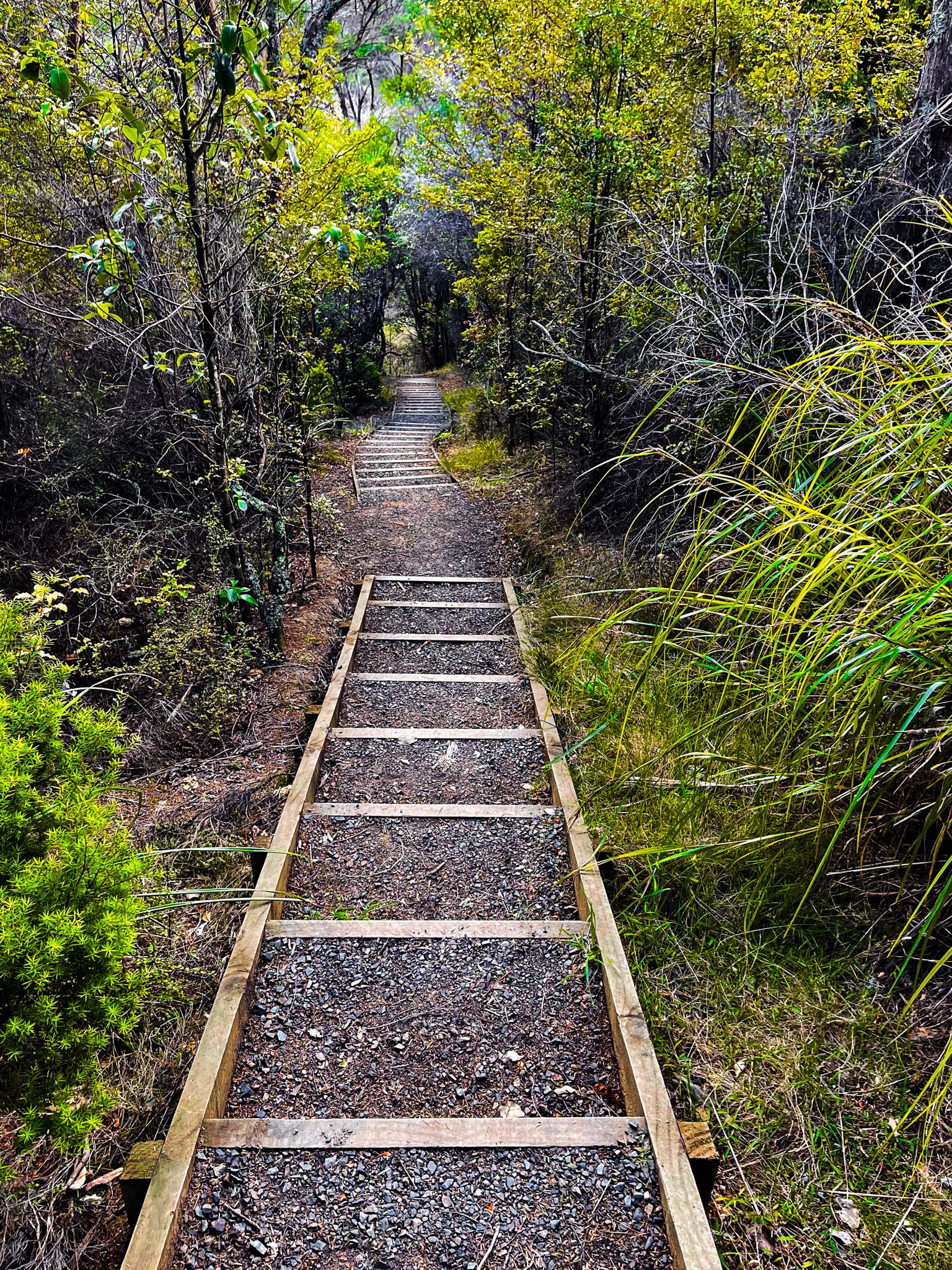
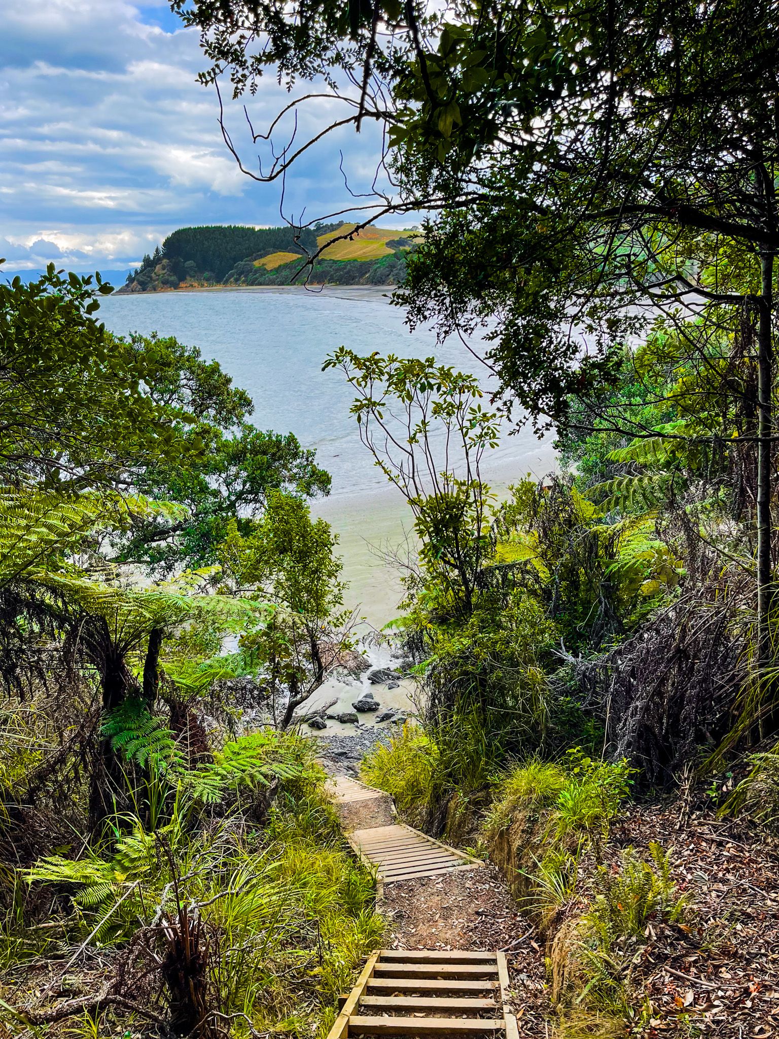
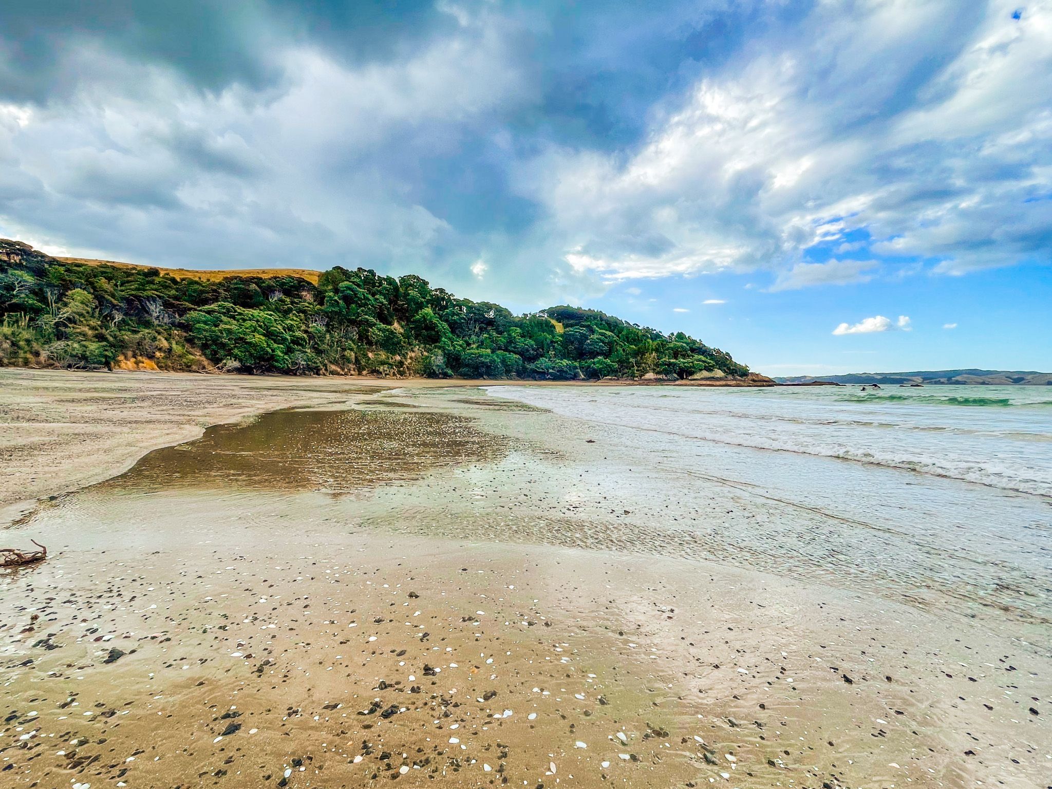
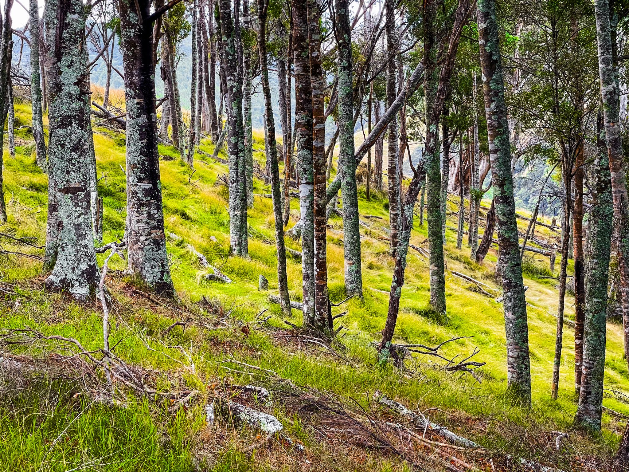
From the rocks, walk across the beach at Tuturau Bay to the east side at the end of the orange rock cliffs. A signposted staircase of around 200 steps and a trail cross over Papanui Point through mostly regenerating forest. The descent brings you to Tawhitokino Beach, a 1.5-kilometre stretch of white to gold sand fringed by pōhutukawa trees and forest, then backed by hilly green pasture.
The walk is around 1 km one way and takes about 20 minutes, with toilets at both ends. Check tide times before setting out if you want to avoid the rocks at the start of the walk.
Discovering the Beach
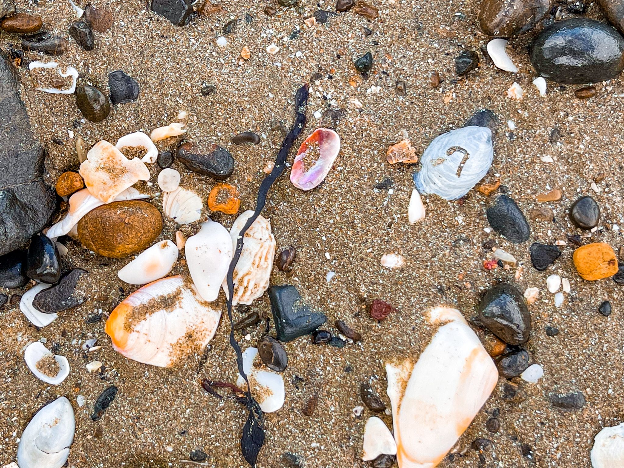
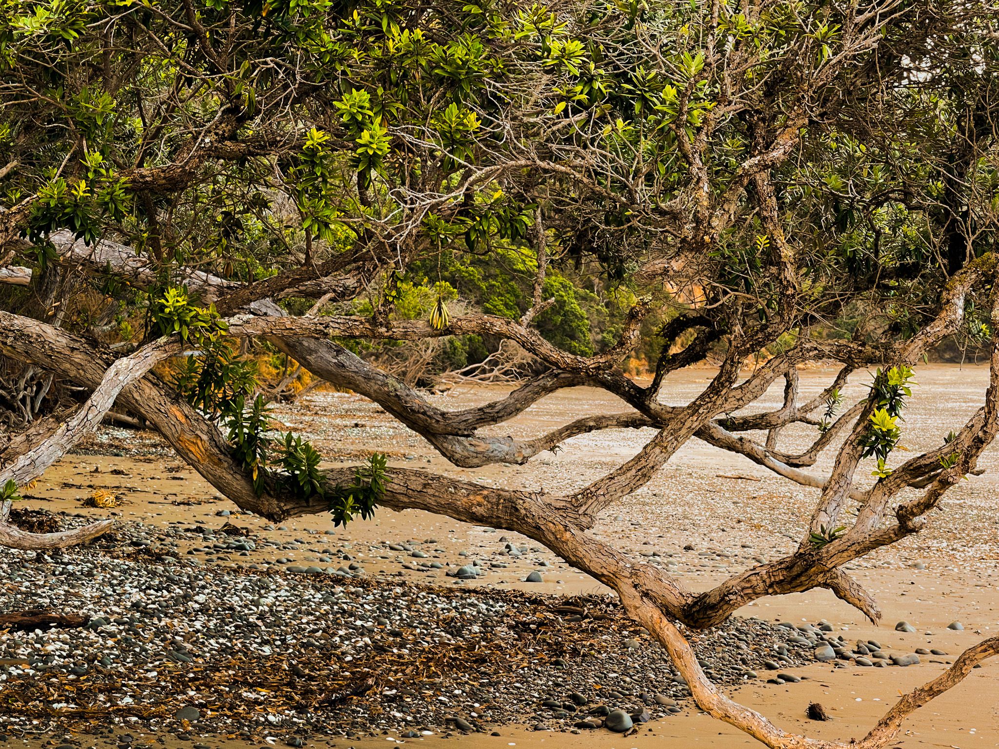
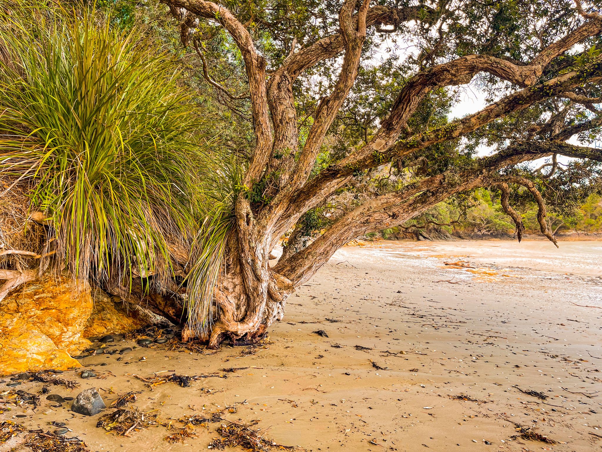
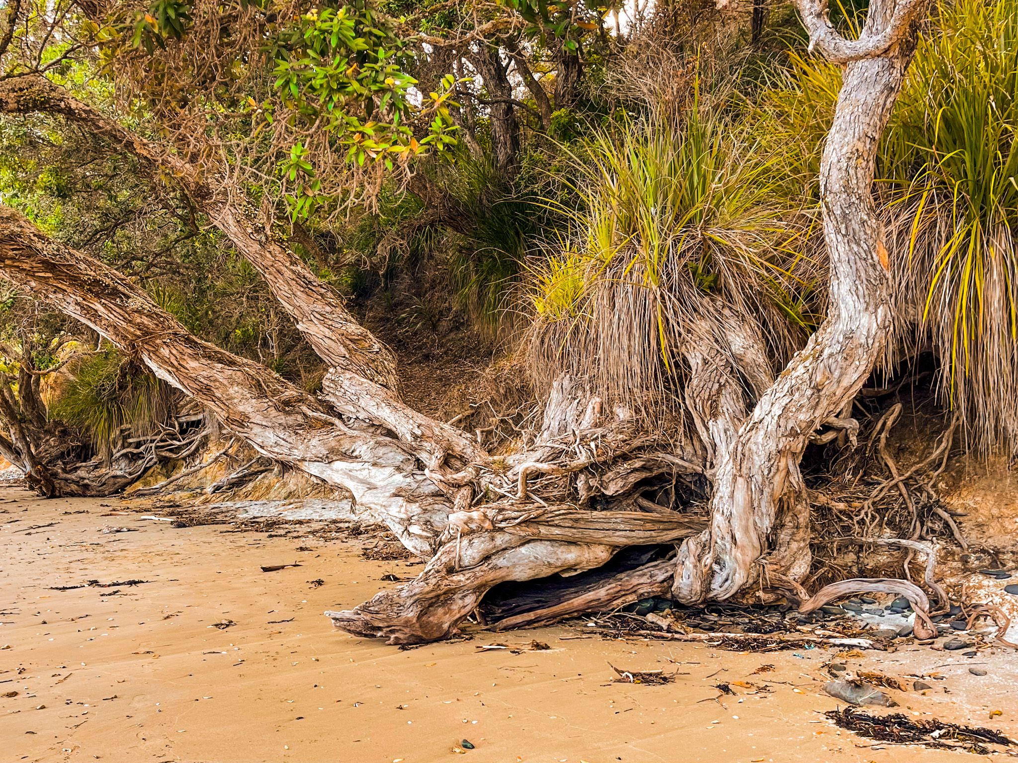
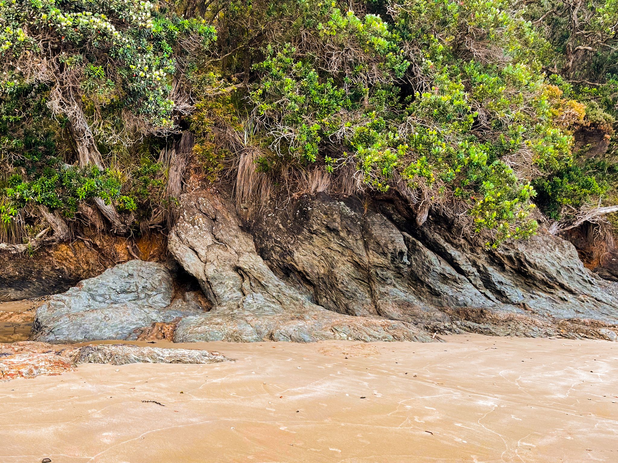
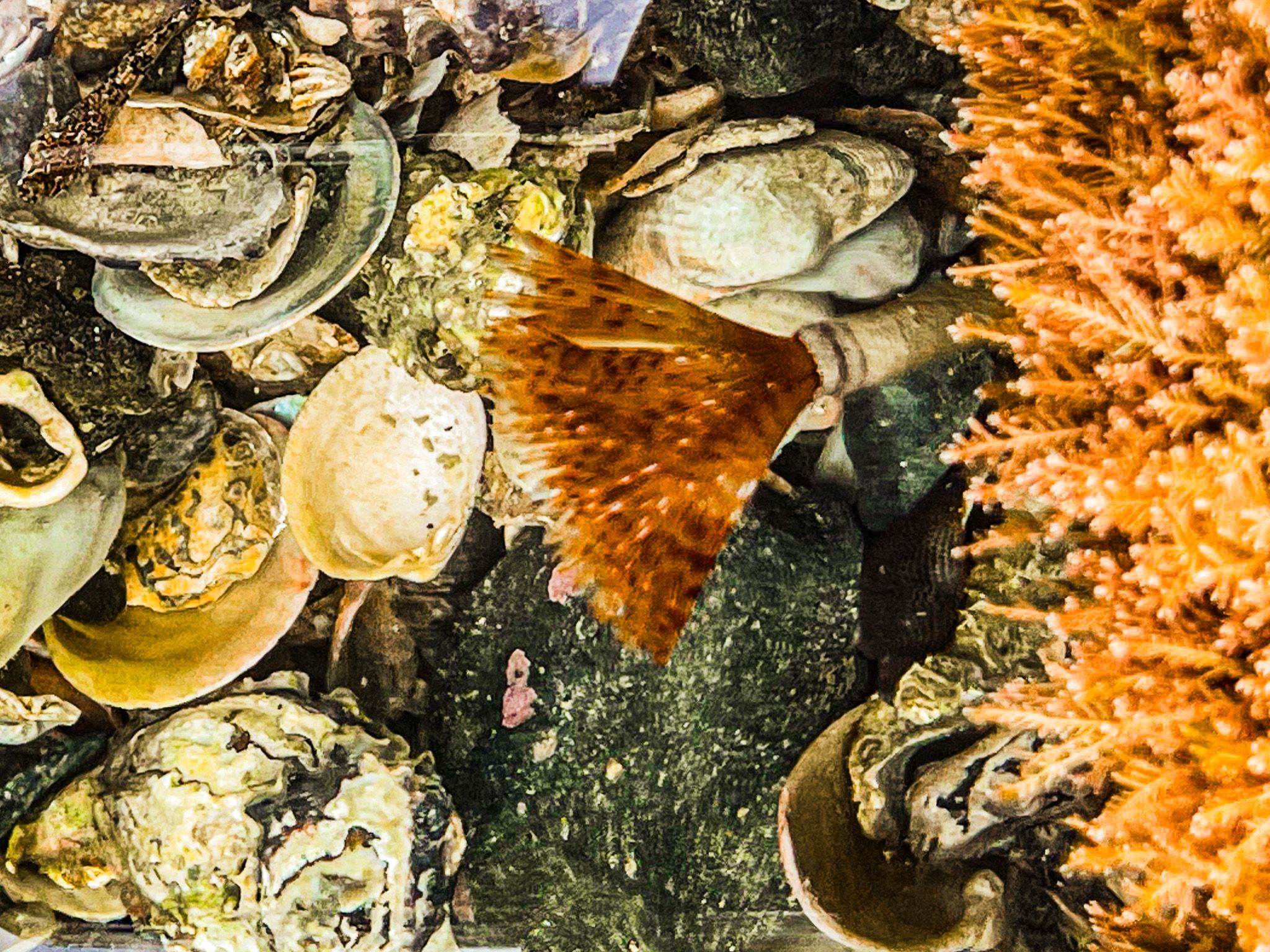
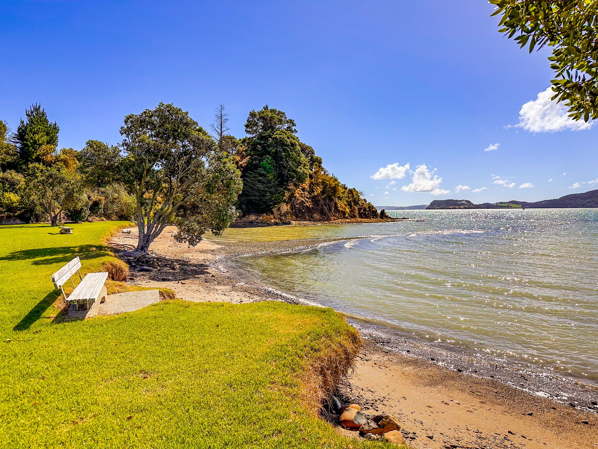
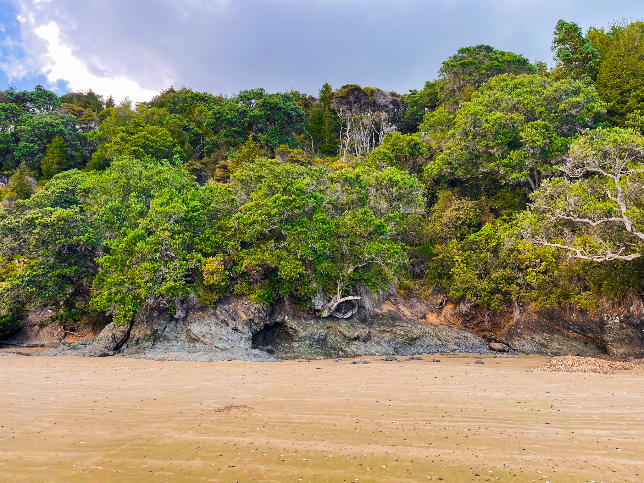
Tawhitokino Beach faces east, looking across the Firth of Thames toward the Coromandel Peninsula. Old pōhutukawa trees grow out of a low bank and lean over the sand, over the waterline at high tide. The water is clear and the beach has a gentle slope, making it good for swimming for most ages. At the northern end of the beach, a small stream runs across the sand before reaching the sea. Rocky headlands at both ends of the bay provide additional exploration for those who want it. You may discover some unusual sea anemones, shaped like shuttle cocks, if you look carefully.
A small campsite sits in the vegetation behind the beach, about two-thirds of the way to the east end. It is a tent-only site with a composting toilet and a picnic table. It also serves as a designated stop on the Te Ara Moana kayak trail, which links a series of regional parks along this coast. No dogs are permitted in or near the campground, though they are allowed off-leash on the track and beach at other times.
Access by Kayak or Boat
The nearest boat ramp is at Kawakawa Bay, from which the beach is a short paddle or boat trip. Kayak access is straightforward in calm conditions, and the beach is an enjoyable destination for a day paddle from the bay.
How to Get There
From Downtown Auckland, the drive takes 60 minutes. Take the southern motorway to the Hill Road off-ramp, then head east-northeast via Hill Road, Stratford Road, Alfriston Road, Alfriston-Ardmore Road, Clevedon-Takakani Road, and Clevedon-Papakura Road to Clevedon. From Clevedon, continue northeast on the Clevedon-Kawakawa Road (a section of the Pacific Coast Highway) for 15 minutes to Kawakawa Bay. From the bay, continue along the coast on Kawakawa Bay Coast Road for a few minutes to Waitī Bay. Park there, and walk east along the beach and Tuturau Bay to the signposted track entrance.
You can also reach Clevedon via the Pōhutukawa Coast, which takes a few more minutes.
Other nearby places to visit on the Pacific Coast Highway include Clevedon Scenic Reserve, Waitawa Regional Park, Ōrere Point, Tapapakanga Regional Park, Waharau Regional Park, Kaiaua, Pūkorokoro / Miranda, and the Robert Findlay Wildlife Reserve on the Seabird Coast.