New Zealand's Most Important Seabird Destination
Pūkorokoro / Miranda, on the western shore of the Firth of Thames north of Kaiaua in North Waikato, is one of the most significant bird-watching destinations in the southern hemisphere. Around 8,500 hectares of tidal flats, salt marsh, and shell banks along this coast form an internationally protected wetland that each year hosts tens of thousands of migratory shorebirds. This includes bar-tailed godwits that fly nonstop from Alaska, one of the most extraordinary feats of endurance on earth.
Discovering and Viewing the Seabirds
The Pūkorokoro Miranda Shorebird Centre, run by the Pūkorokoro Miranda Naturalists' Trust, is the visitor hub for the area and is open seven days a week, accessed off East Coast Road, part of the Pacific Coast Highway. Although birds can be sighted along the coast, the best spot is from the bird hides in the Robert Findlay Wildlife Reserve south of the centre.
Origins of the Twin Names
The place name Pūkorokoro is the original Māori name for the area, which was long associated with Ngāti Pāoa iwi. In November 1863, during the New Zealand Wars, the HMS Miranda, a Royal Navy warship, along with the gunboat Sandfly, shelled the Ngāti Pāoa settlement in the area. This was followed by 900 marines and sailors who captured the settlement and subsequently built the Esk Redoubt on the hills to the west. The attack was a particularly egregious injustice as Ngāti Pāoa was allied to the NZ government at the time. To add insult to injury, the area was renamed Miranda to commemorate the event.
Pūkorokoro was restored as a dual name alongside Miranda in 2015, following a proposal by Ngāti Pāoa. The nearby Makomako Marae remains a traditional meeting ground for Ngāti Pāoa.
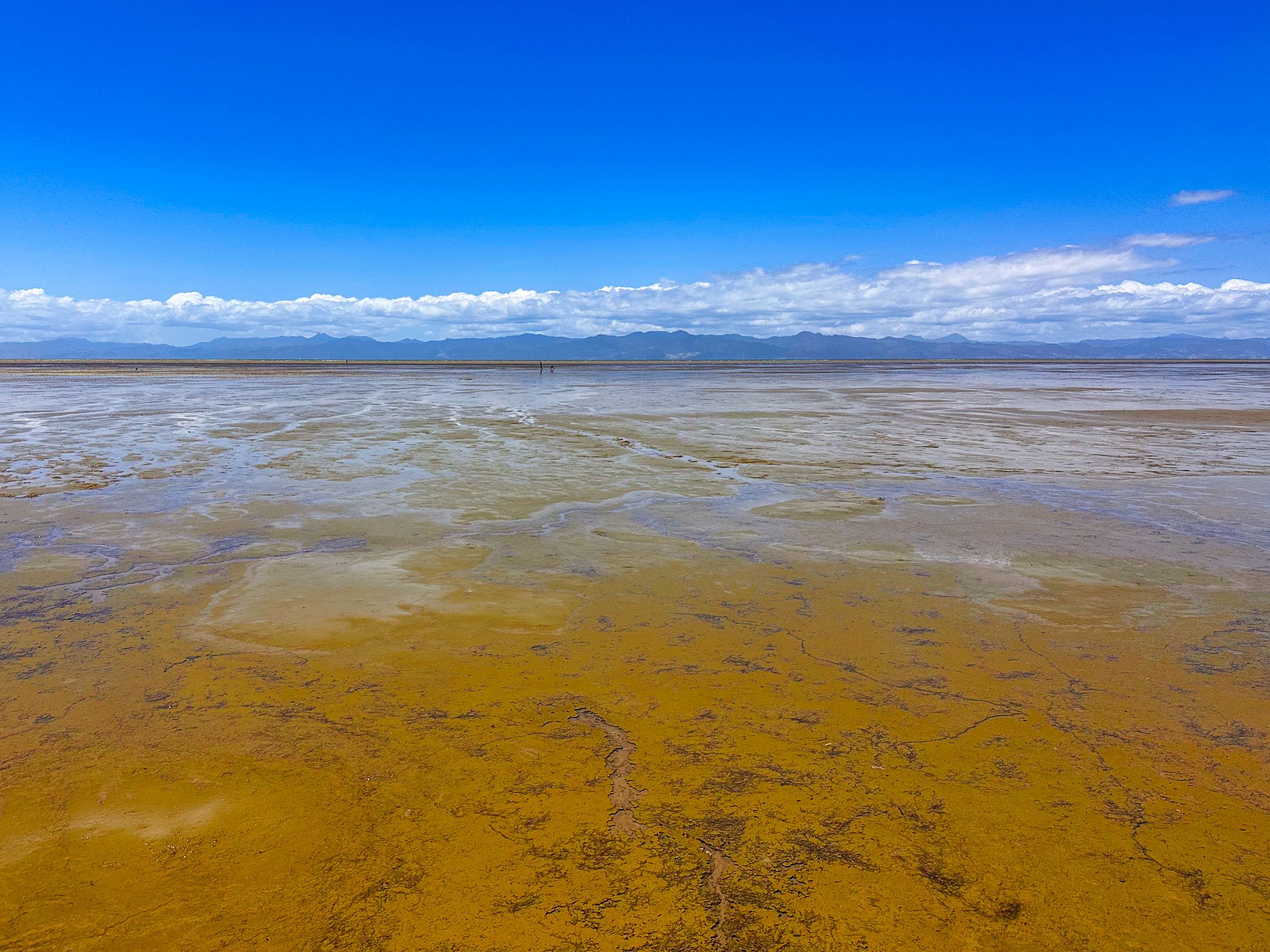
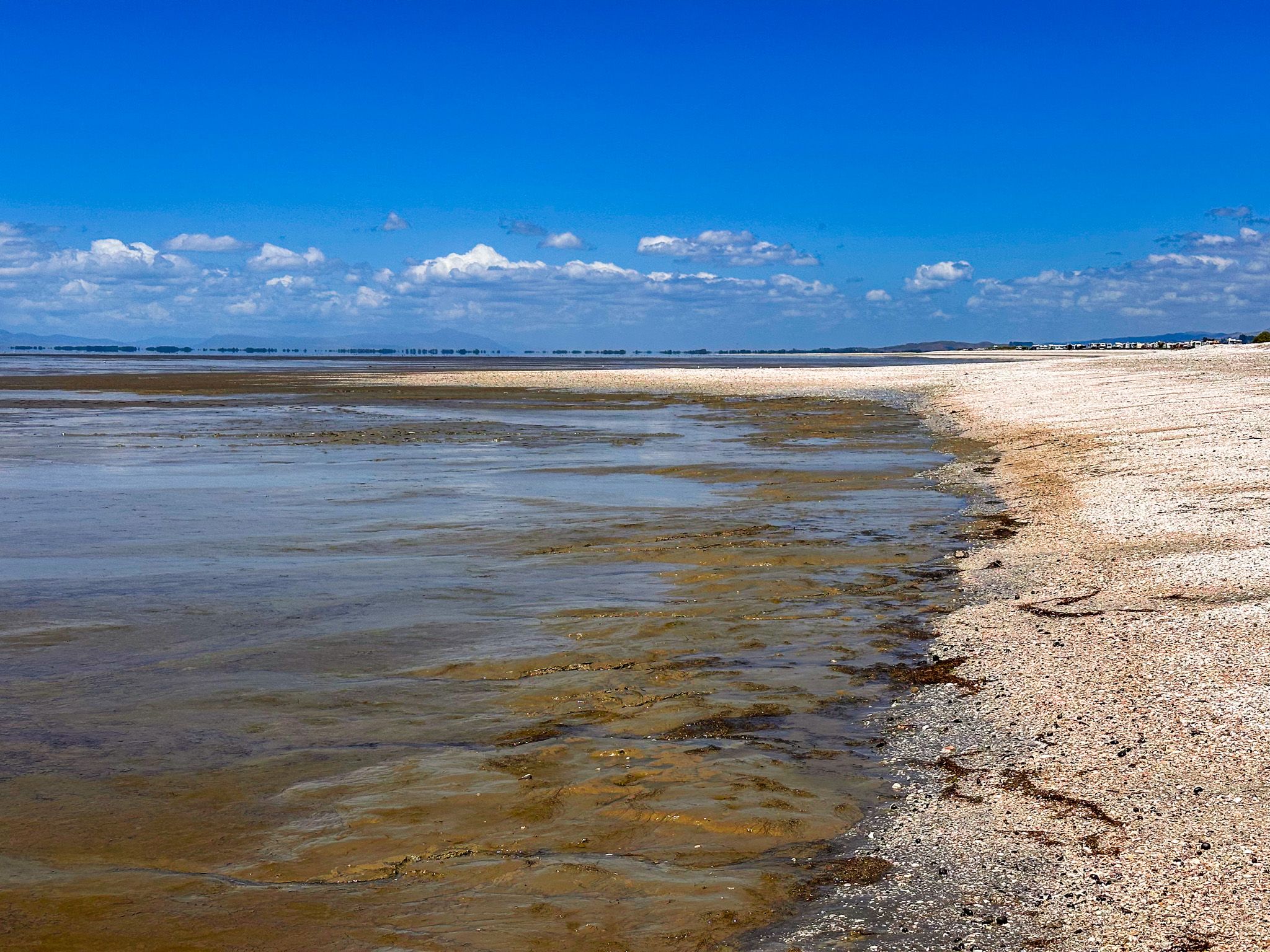
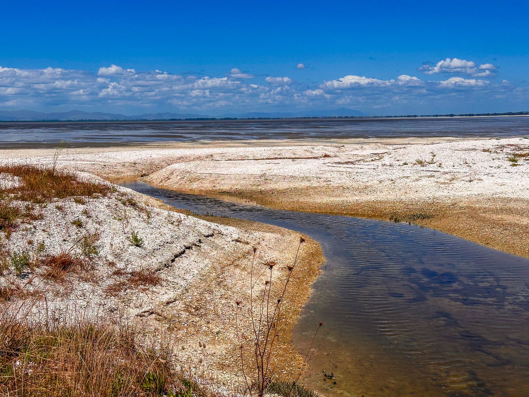
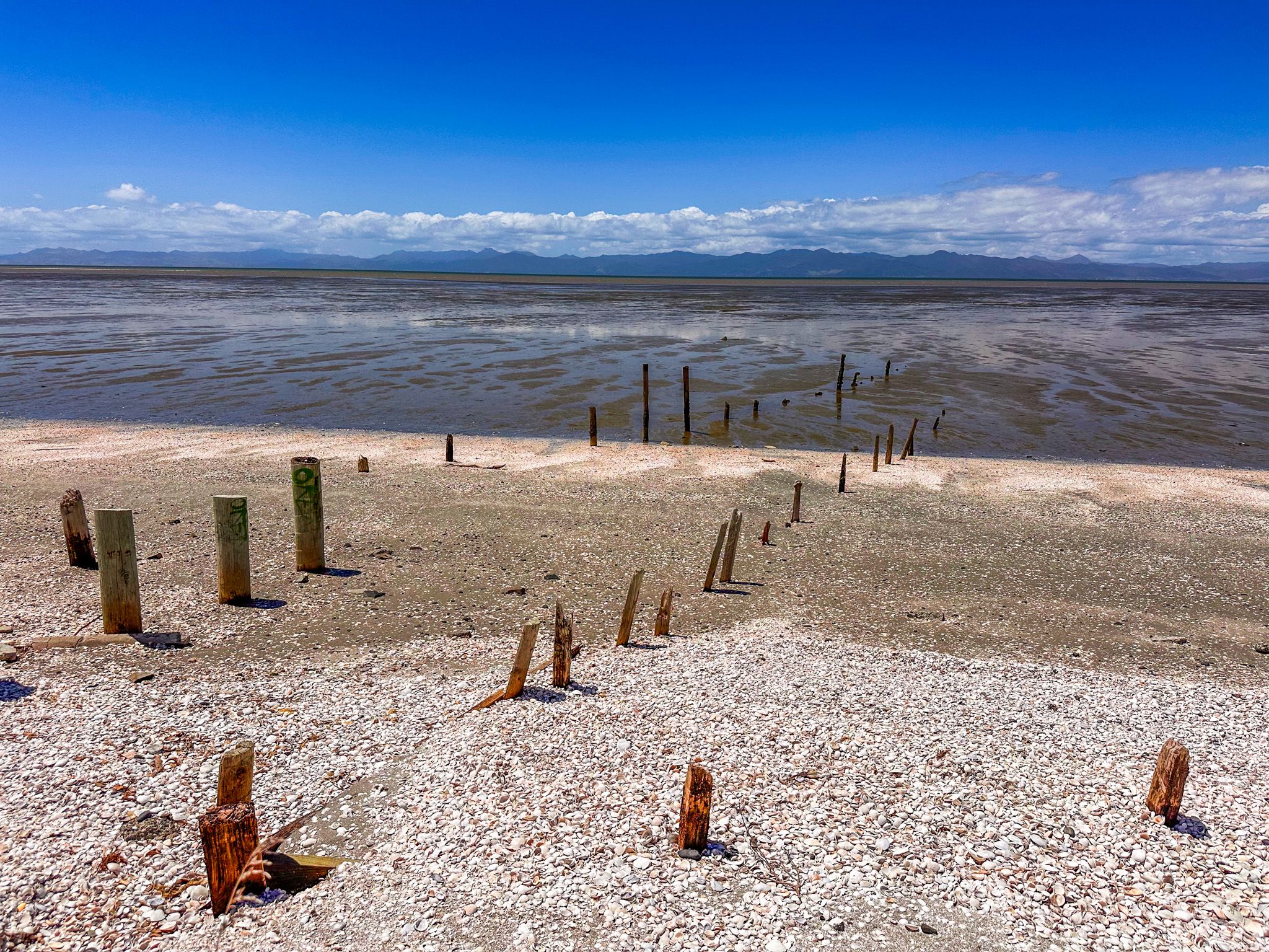
The Chenier Plain
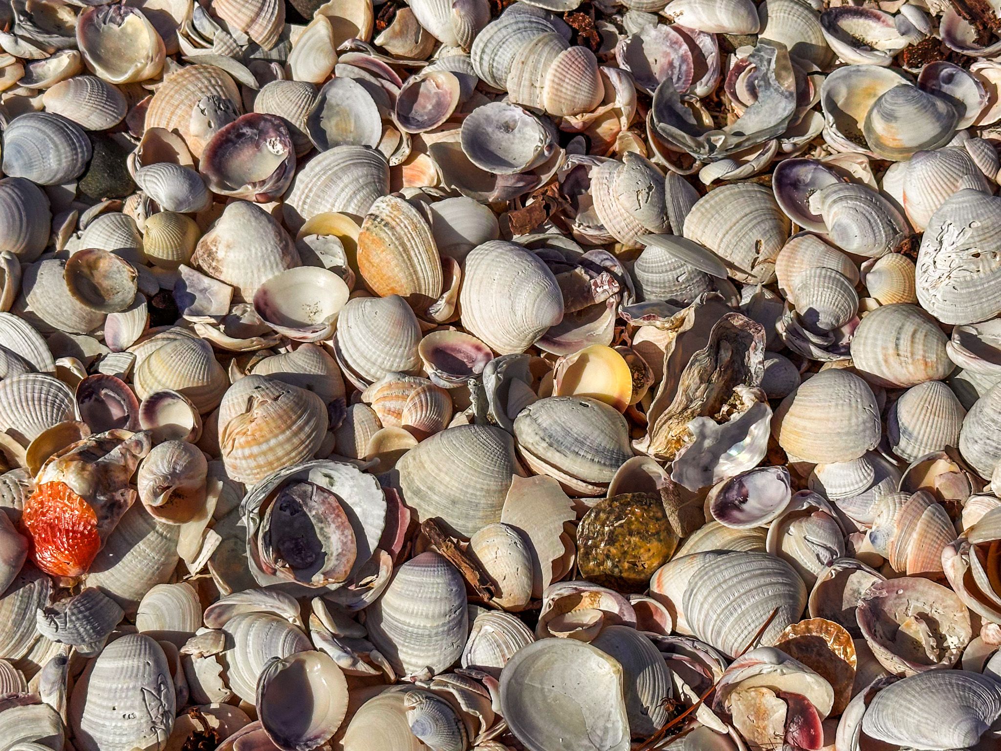
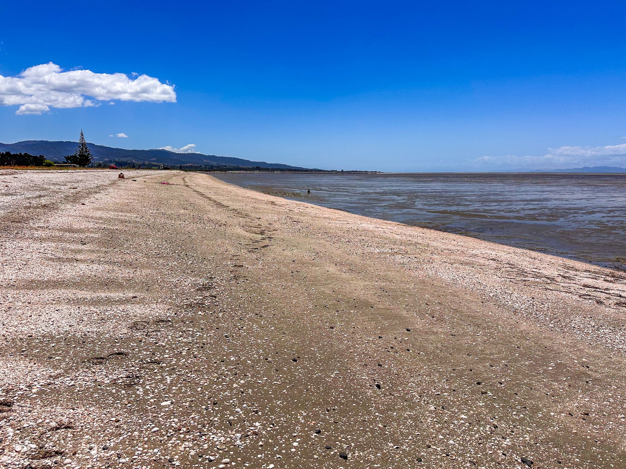
The shell banks at Pūkorokoro / Miranda are a globally rare geological feature known as a chenier plain. Over the past 4,500 years, tidal action has slowly pushed marine shells and gravel into a series of parallel ridges along the shoreline; as each ridge builds, the gaps between them fill with mud washed down from the Hauraki Plain and a new ridge forms closer to the water. The result is a stepped landscape of ancient beach ridges running parallel to the shore. The Firth of Thames wetland was listed under the Ramsar Convention on Wetlands of International Importance in 1990.
Accessing the beach, strewn with mostly cockle shells baked white by the sun, north of Kaiaua, provides a spectacular view of this phenomenon, with layered banks of shells above the tide mark. As the tide retreats, the mudbanks that form between the ridges are exposed. If you are inclined to get mud between your toes, this is the place, but this mud is also a prime feeding ground for seabirds.
The Shorebird Centre
The Pūkorokoro Miranda Shorebird Centre sits on East Coast Road and is open every day except Christmas, from 9 am to 5 pm. It has information displays on shorebird ecology and migration, a library, a shop, and low-cost accommodation in bunkrooms and self-contained units. Guided tours of the reserve are highly recommended for those who want to understand the full story of the birds and the landscape. The Robert Findlay Wildlife Reserve, 2 kilometres south on the East Coast Road, houses the bird hides.
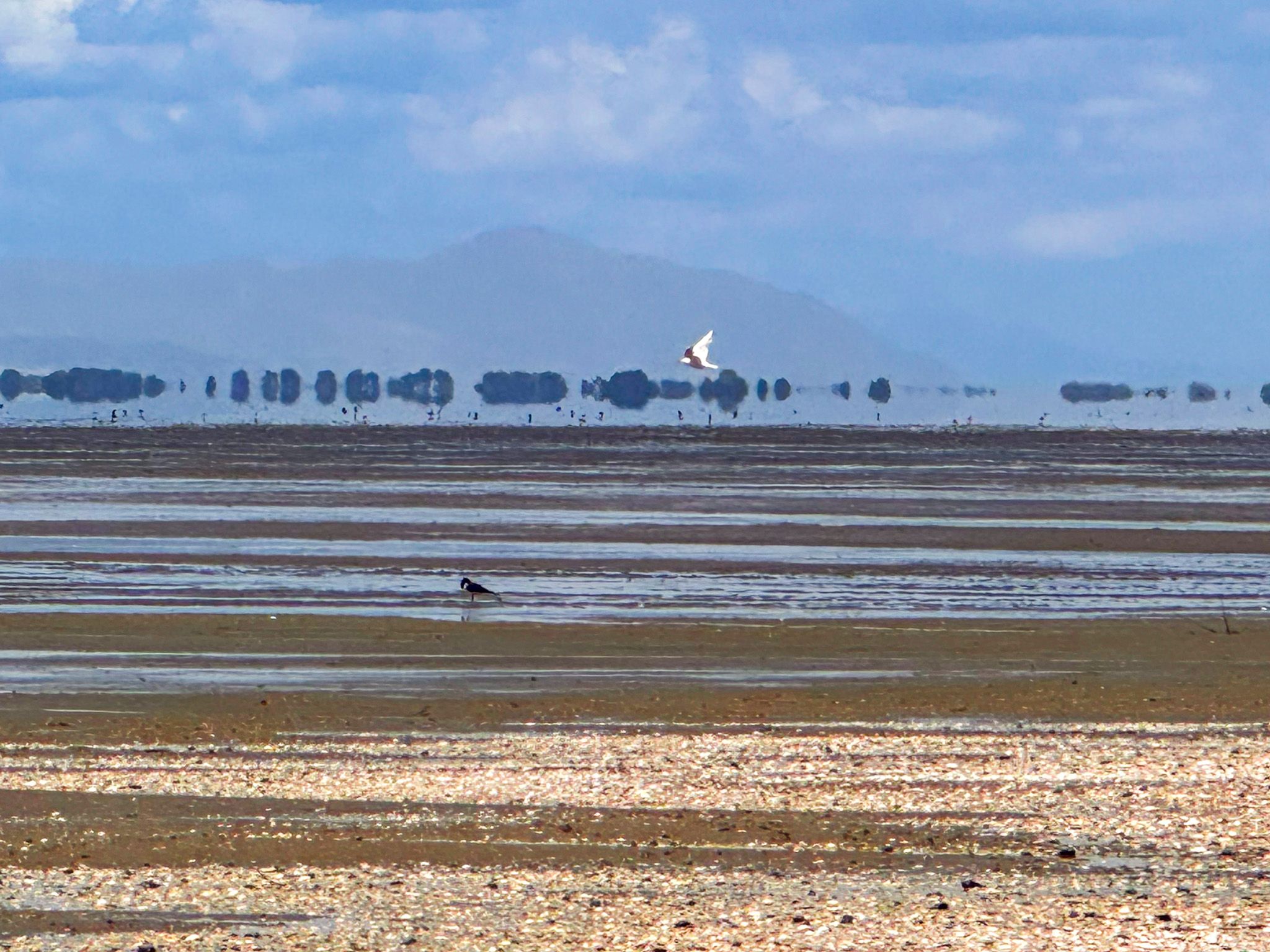
The Godwits and the Migration
Bar-tailed godwits (kuaka) begin arriving at Pūkorokoro / Miranda in September each year, having completed a non-stop flight of around 11,000 kilometres from Alaska. The journey takes approximately eight to nine days without rest or food, made possible by the birds almost doubling their body weight before departure. They spend the New Zealand Summer feeding on the rich invertebrate life of the tidal flats, then depart again in March, flying first to the Yellow Sea coast of China and Korea to refuel before completing the journey north to their Alaskan breeding grounds. The total annual migration covers around 29,000 kilometres.
Red knots (huahou) are also migratory, flying as far as the Russian Arctic to breed in the northern Summer, then returning to NZ and Australia for our Summer. Birds start arriving around August, with good viewing from October through March.
Two hours either side of high tide is the best chance to see large numbers of birds roosting on the dry flats in the Robert Findlay Wildlife Reserve, south of the visitor centre. As the tide retreats, they fly out to the exposed mud flats to feed, returning as the tide comes back in. The Shorebird Centre can advise on tide times, and binoculars and telescopes are available for hire.
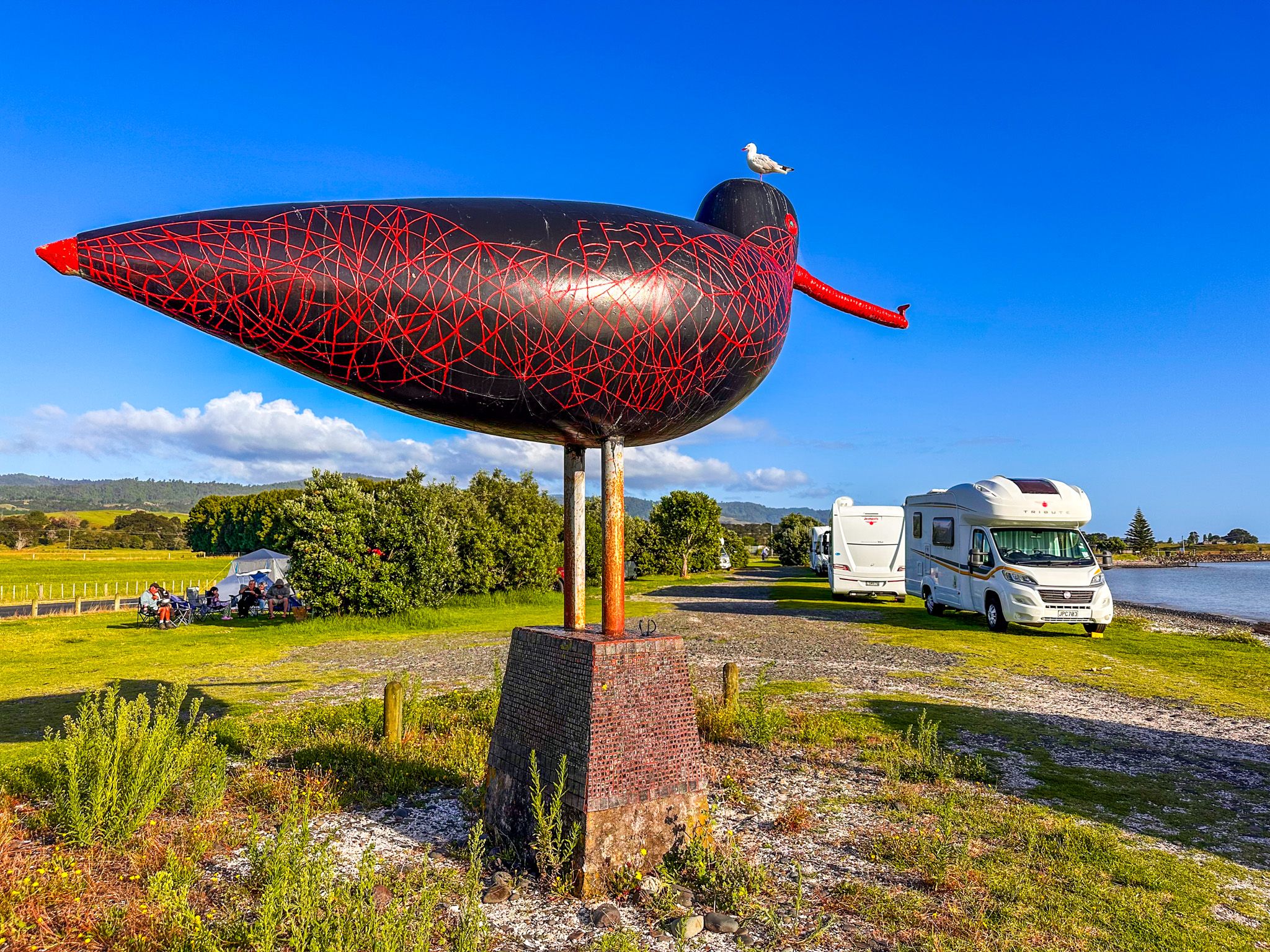
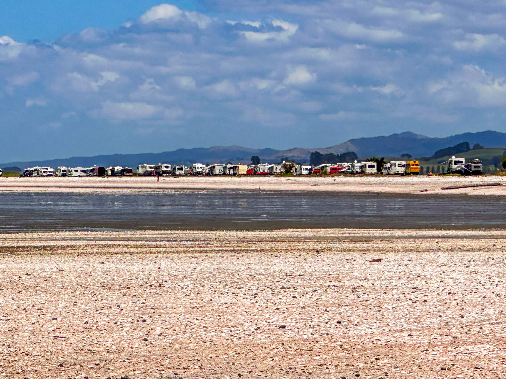
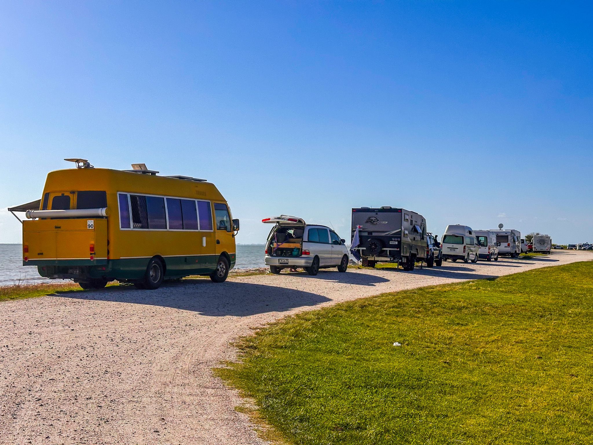
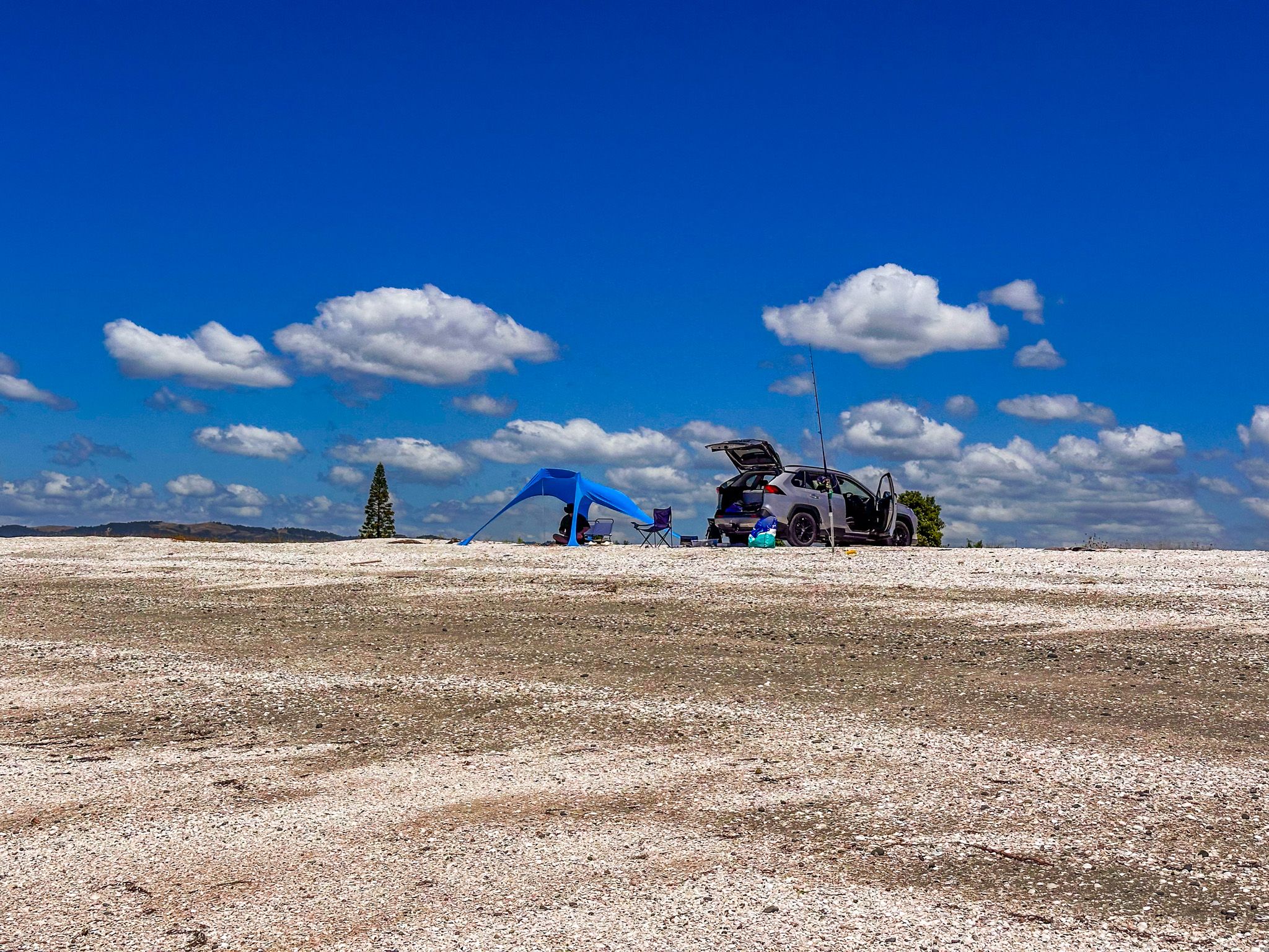
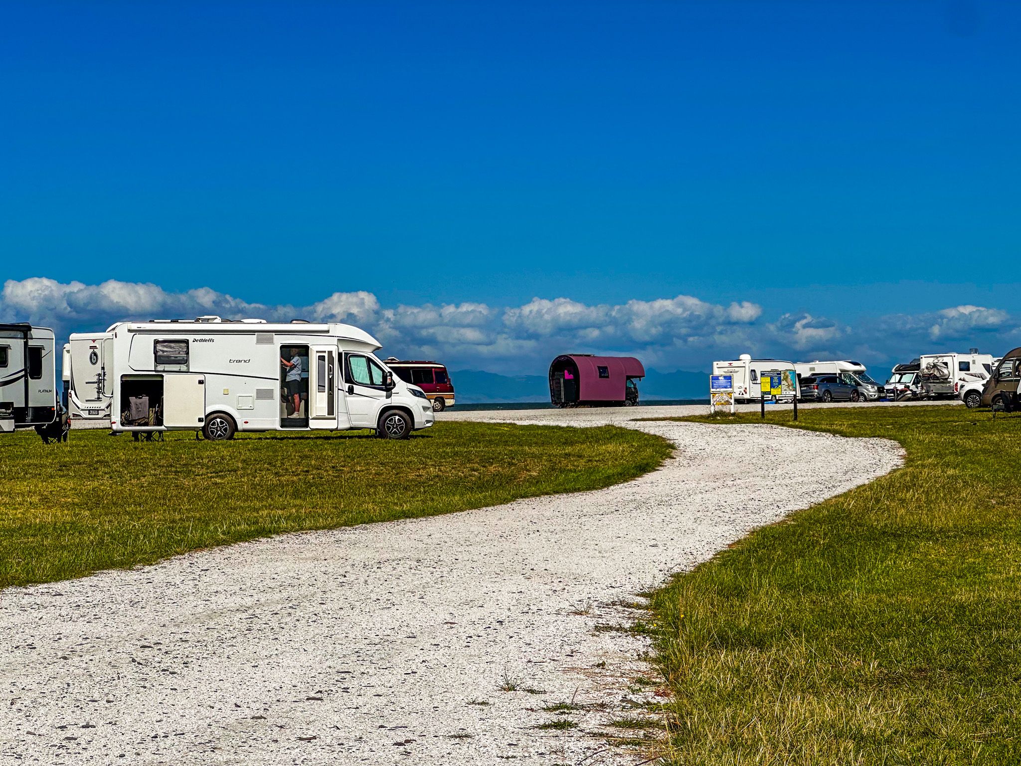
Freedom Camping at Pūkorokoro
There is also a large freedom camping location next to the beach at Ray’s Rest. Immediately to the south is the Taramaire Wildlife Refuge Reserve, a prime spot for seabird spotting.
How to Get There
Pūkorokoro / Miranda is on East Coast Road. From Auckland, the most direct route heads south on the southern motorway, State Highway 1, turning east onto State Highway 2 once over the Bombay Hills. From there, take Mangatawhiri Road, which becomes Mangatāngi Road, to Miranda Road. The drive takes around 60 minutes and is 80 km.
Other nearby places to visit include the Mangatangi Reservoir, accessible inland via Kaiaua Road. Heading north on East Coast Road (Pacific Coast Highway), you can visit Waharau Regional Park, Tāpapakanga Regional Park, Waitawa Regional Park and Clevedon Scenic Reserve.