Scenic Touring Route to the Seabird Coast
The one-hour drive from Clevedon to Pūkorokoro / Miranda is one of the most rewarding coastal routes within reach of Auckland: a quiet, unhurried road that follows the south-eastern edge of the city's hinterland from a rural village past a sequence of regional parks, sheltered bays and Hauraki Gulf headlands before arriving at the internationally significant shorebird flats on the western shore of the Firth of Thames.
A Section of the Pacific Coast Highway
The route is a section of the Pacific Coast Highway, a poorly-marketed touring route, that carries several road names as it travels southeast. From Clevedon, it begins as the Clevedon-Kawakawa Road, changes to the Kawakawa-Orere Road, then becomes the Orere-Matingarahi Road, and finally the East Coast Road once it reaches the shore of the Firth of Thames at Matingarahi. The lower section, from around Kaiaua south to Pūkorokoro / Miranda, is commonly known as the Seabird Coast (or Shorebird Coast), a name that captures the importance of the birdlife of the Firth of Thames tidal flats.
Clevedon to Kawakawa Bay
The drive begins in Clevedon, a village at the tidal head of the Wairoa River. Clevedon’s Sunday markets provide fresh produce and artisan food, and the village has shops and several eateries. On any day of the week, the McNicol Homestead Museum on Papakura-Clevedon Road is a well-preserved window into the district's settler history.
A few kilometres out of Clevedon on the Clevedon-Kawakawa Road, Clevedon Coast Oysters is worth a stop. The farm has been growing organic Pacific oysters in Kawakawa Bay since 1986, and the shop and Oyster Galley on site sell fresh and cooked oysters directly to visitors. Just past the oyster farm, Waitawa Regional Park is the first of the coast's major parks on the Tāmaki Strait, with beaches, walking tracks, mountain biking, headland pā and island views.
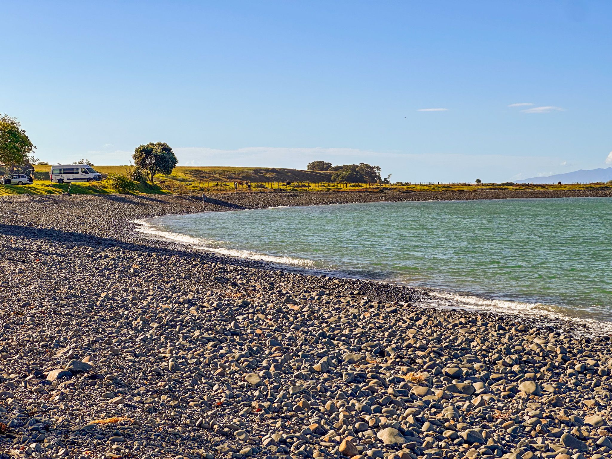
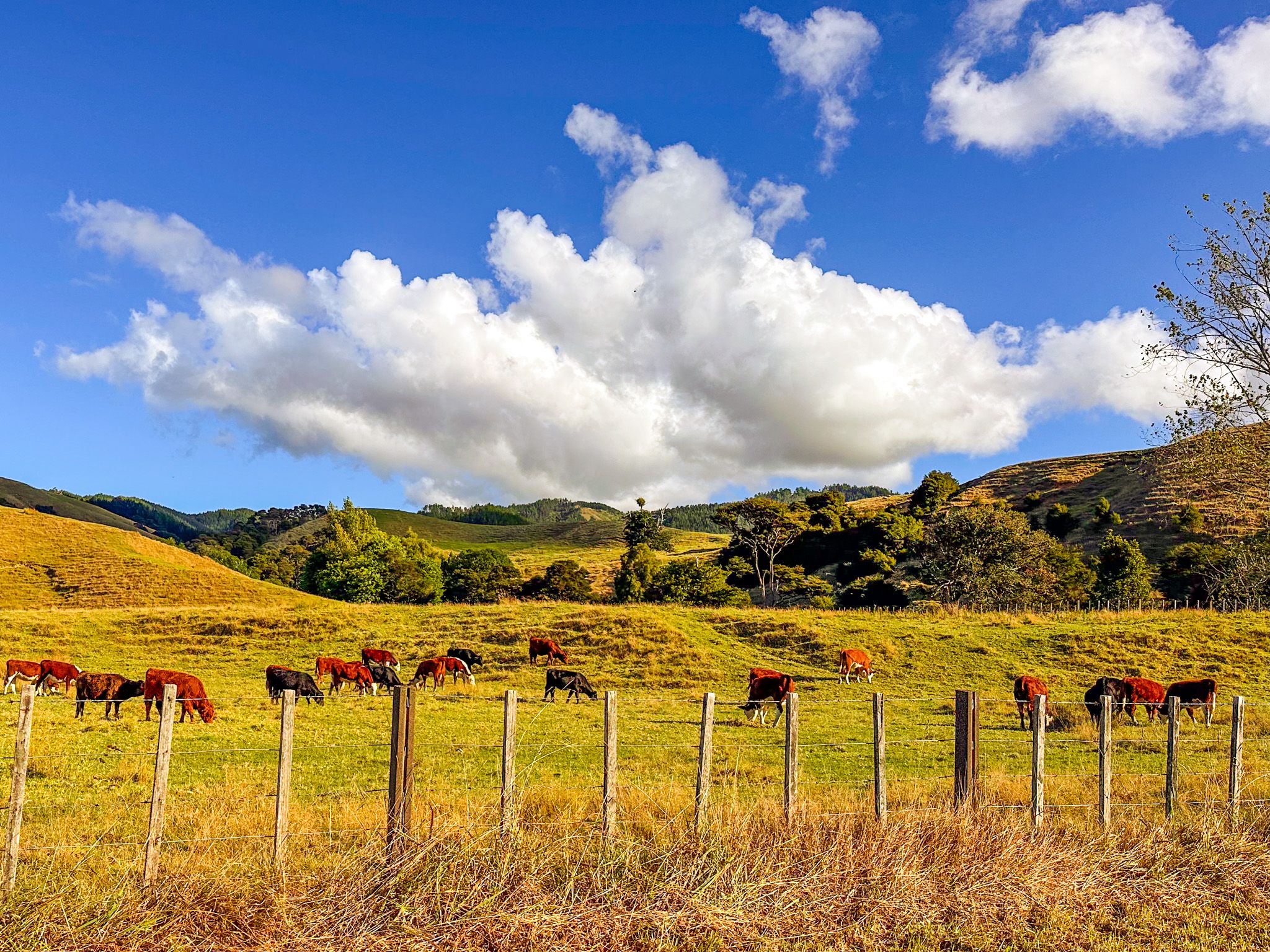
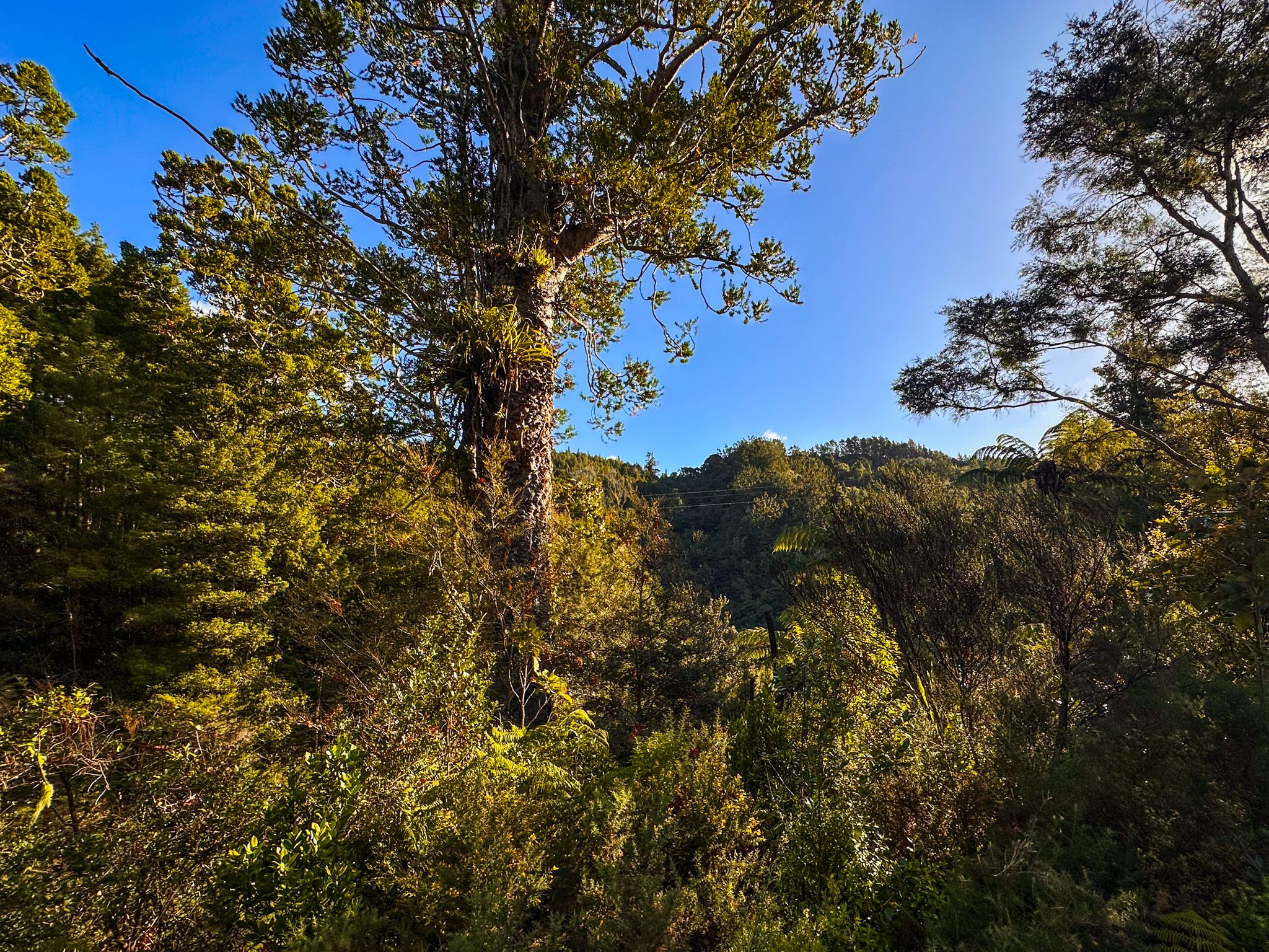
The road continues east through rolling farmland, generally green but often golden by late Summer. Kawakawa Bay, about 15 minutes from Clevedon, is the first proper coastal settlement. This is a sheltered bay with a boat ramp, a small store and wide tidal flats.
Detour on Kawakawa Bay Coast Road
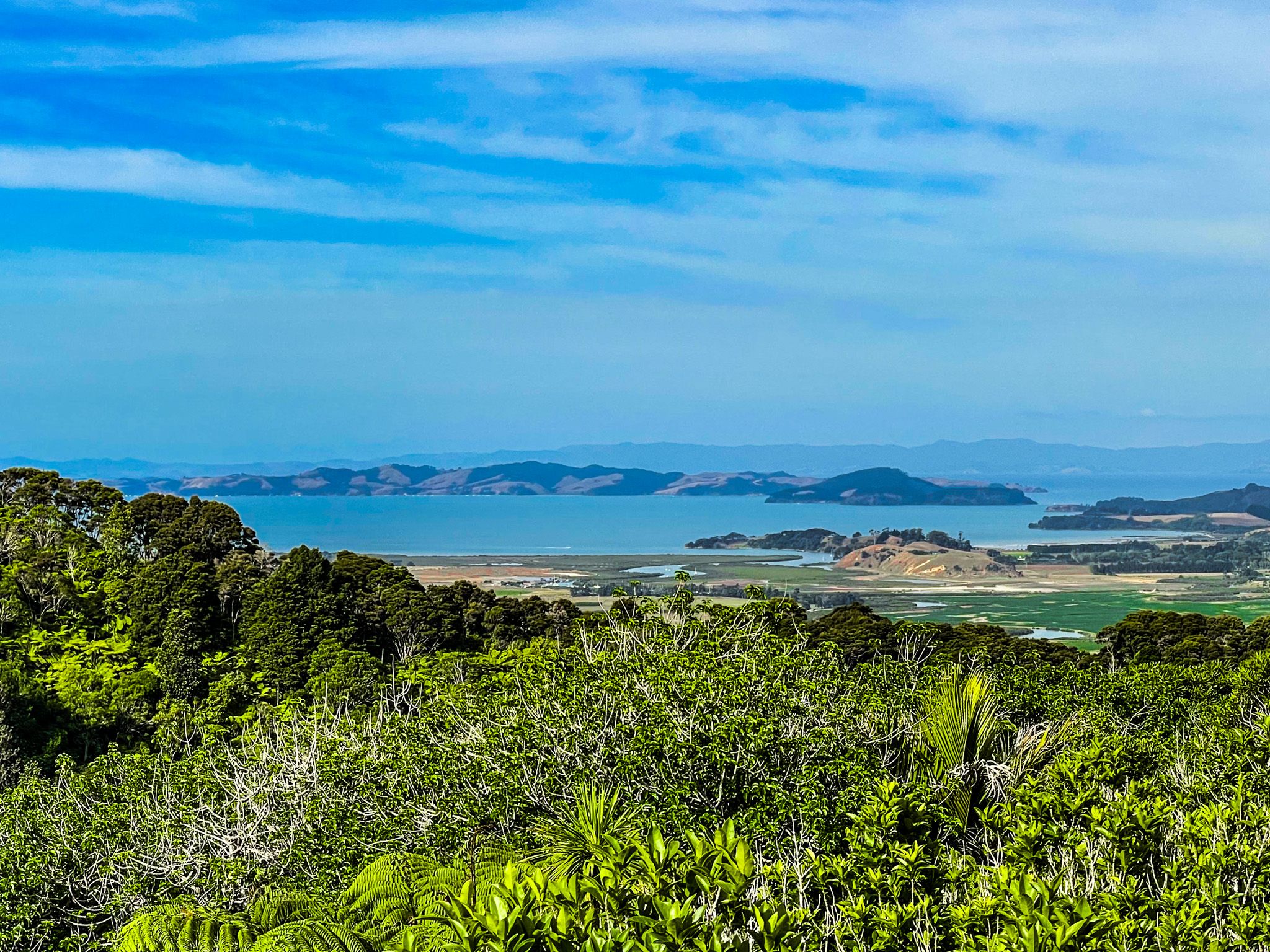
East of Kawakawa Bay, the Kawakawa Bay Coast Road is a scenic detour worth taking before continuing south on the main route. This narrow, winding road follows the cliff edge for about 8 kilometres, with views across the Tāmaki Strait to Waiheke, Ponui, Pakihi and Karamuramu islands. Raukura Point, near the road end, marks the transition from the Tāmaki Strait to the Firth of Thames, and has a clifftop vantage point. The road ends at Waiti Bay, the departure point for the walk to Tawhitokino Beach, in Tawhitokino Regional Park. Accessible only on foot from Waiti Bay or by boat, this beach is the hidden gem of this coast.
Continuing South to Ōrere Point
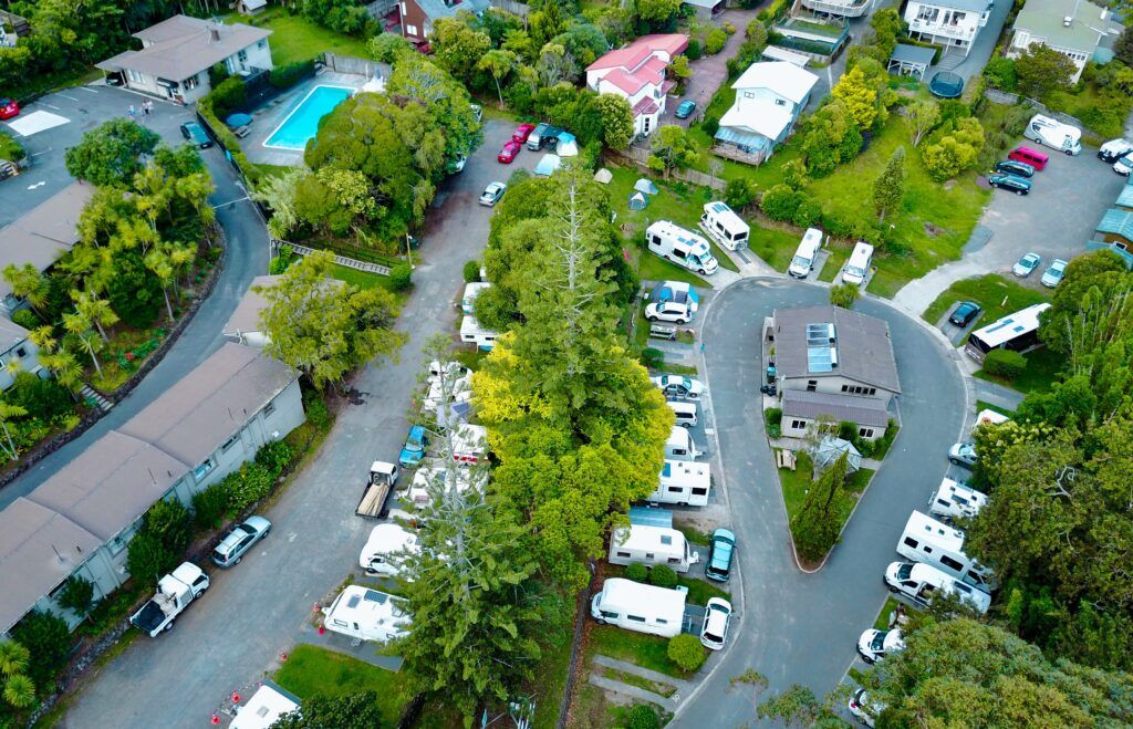
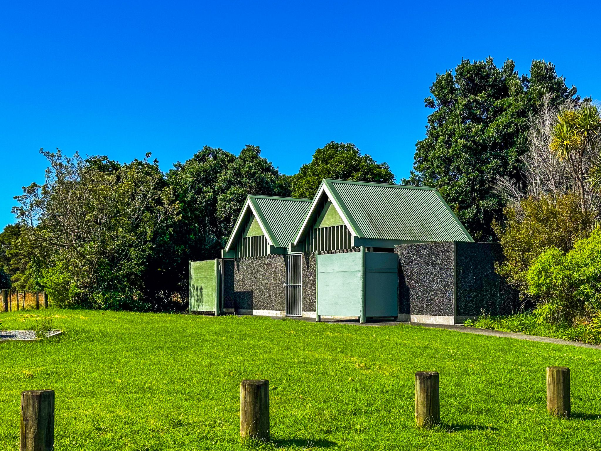
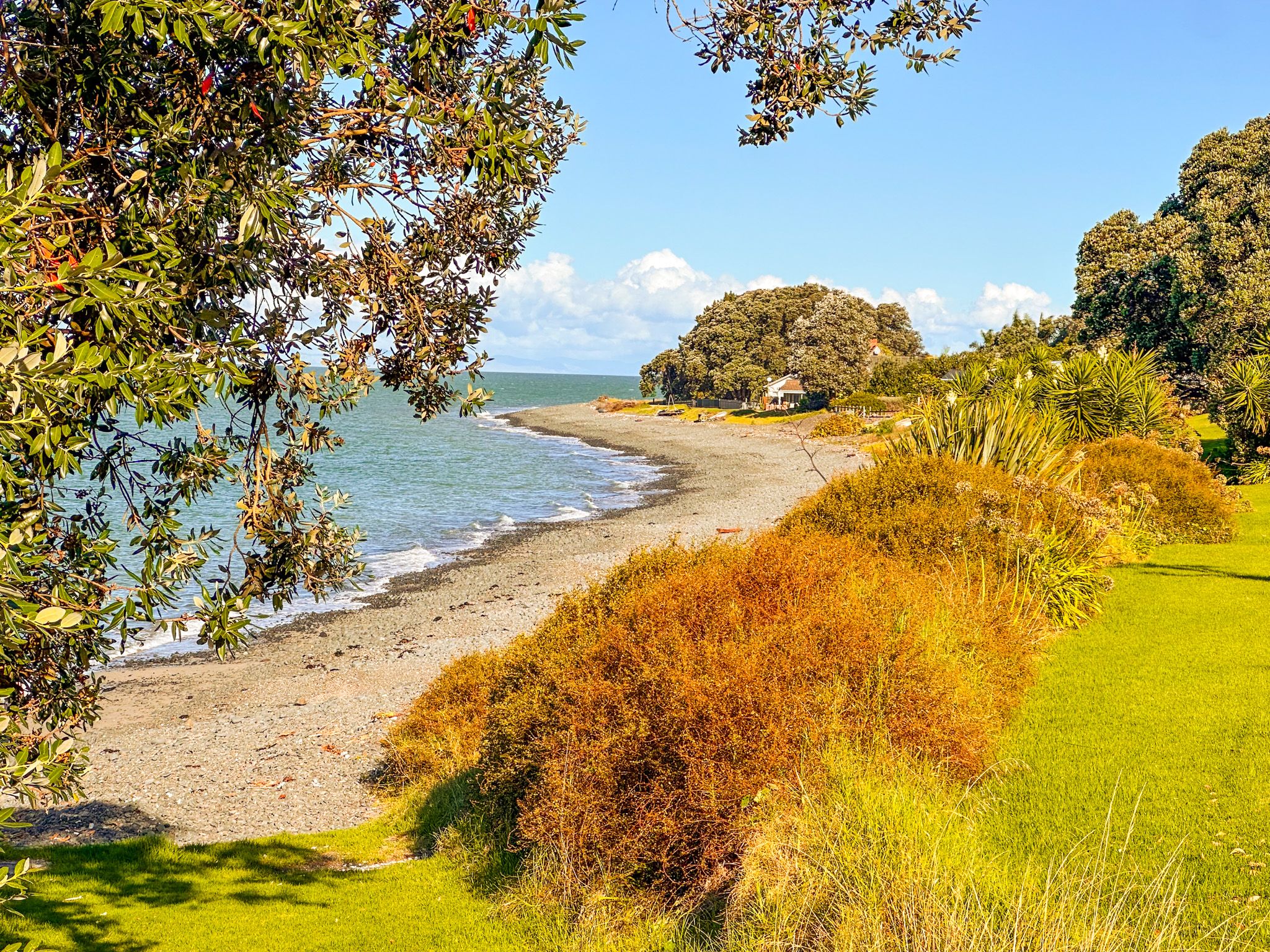
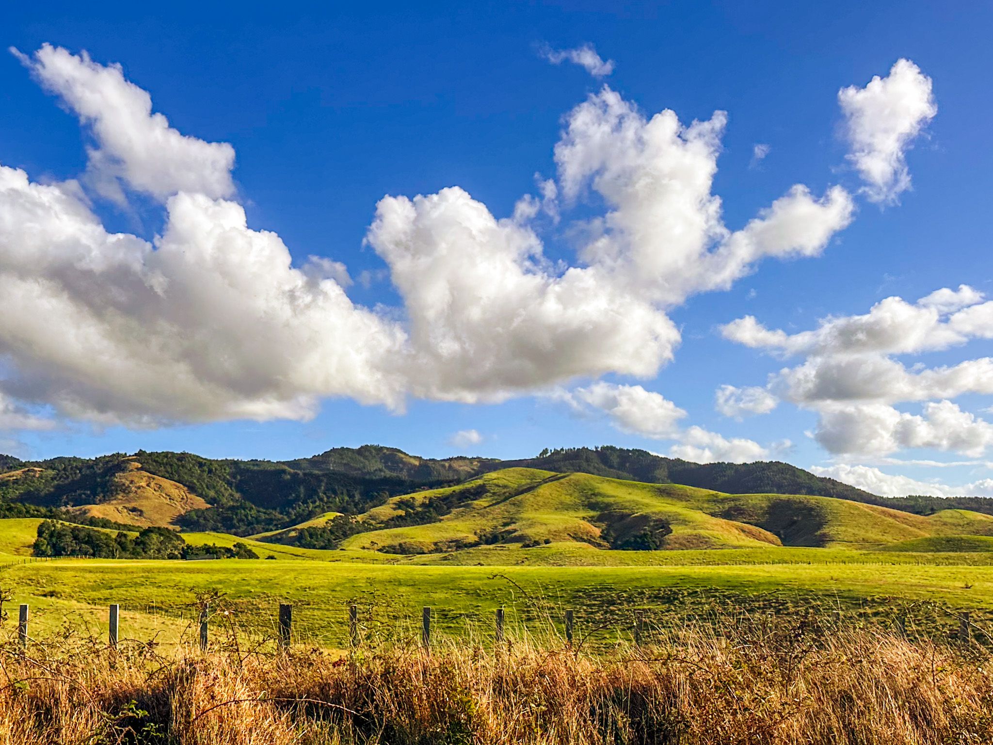
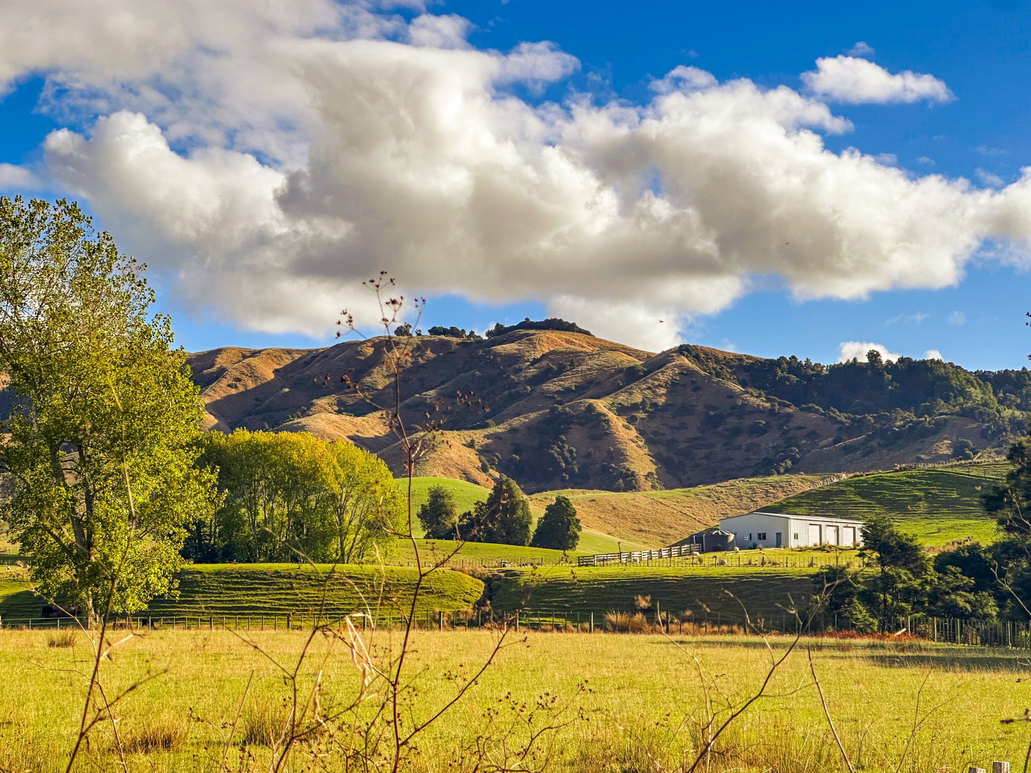
Back on the main route south, the road climbs above coastal farmland and winds through regenerating forest before descending toward Ōrere Point. Ōrere Point, reached roughly 25 kilometres from Kawakawa Bay, is the main service stop before Kaiaua. The settlement has a local store, a holiday park, and a beach reserve with a playground, barbecues, and toilet facilities. The coast here is a spectacular mix of high cliffs, with a stony beach that becomes sandy as you walk west.
Ōrere Point to Tapapakanga Regional Park
Head back to the Pacific Coast Highway and continue southeast to the turnoff for Derry Road. This takes you into Tāpapakanga Regional Park, just southeast of Ōrere Point. This park is another example of coastal farm walks, a historic homestead and beachfront campgrounds. There is a beautiful sandy beach in front of the homestead and main picnic area. There are several campgrounds in attractive locations.
Tapapakanga Regional Park to Kaiaua
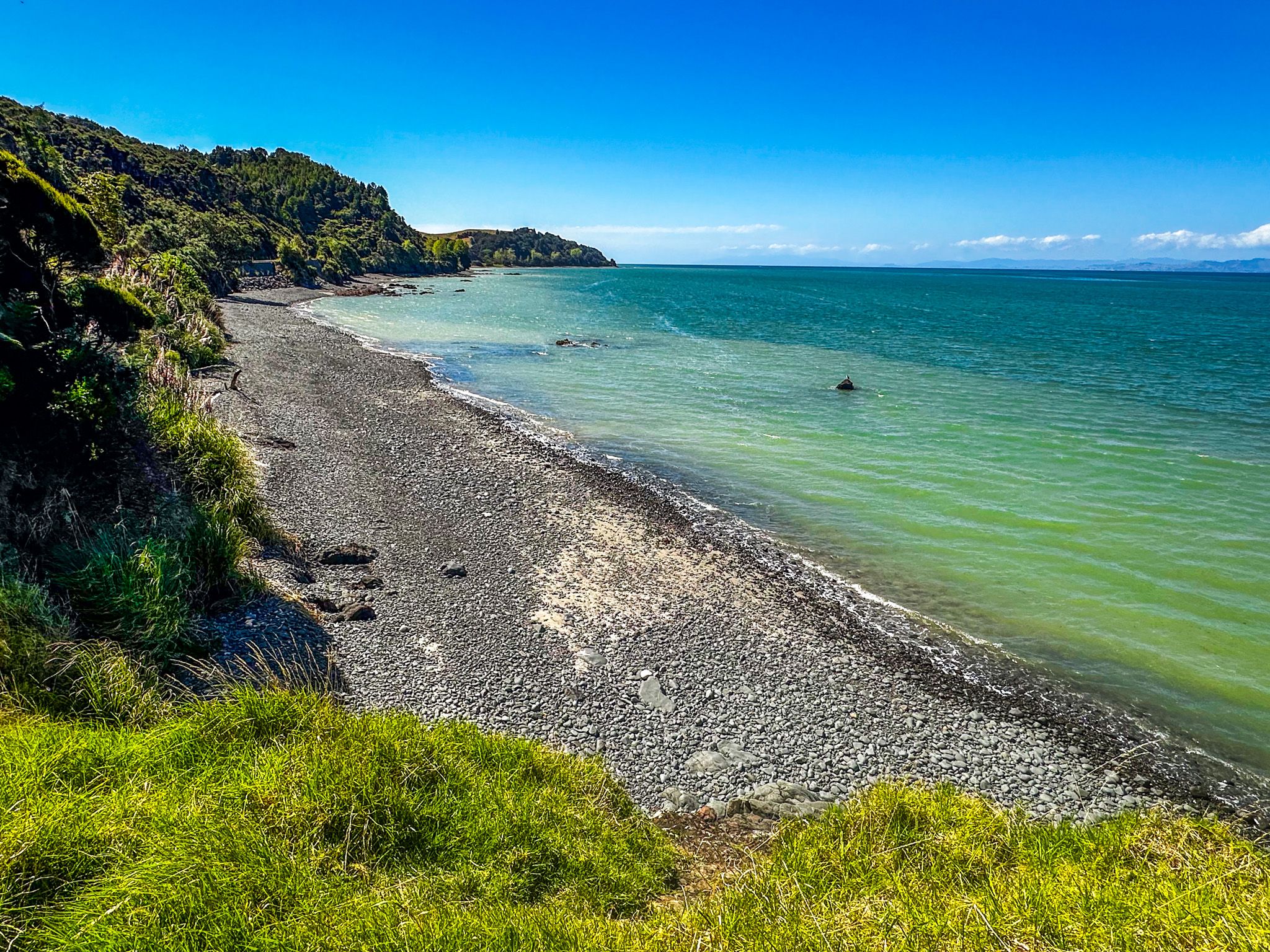
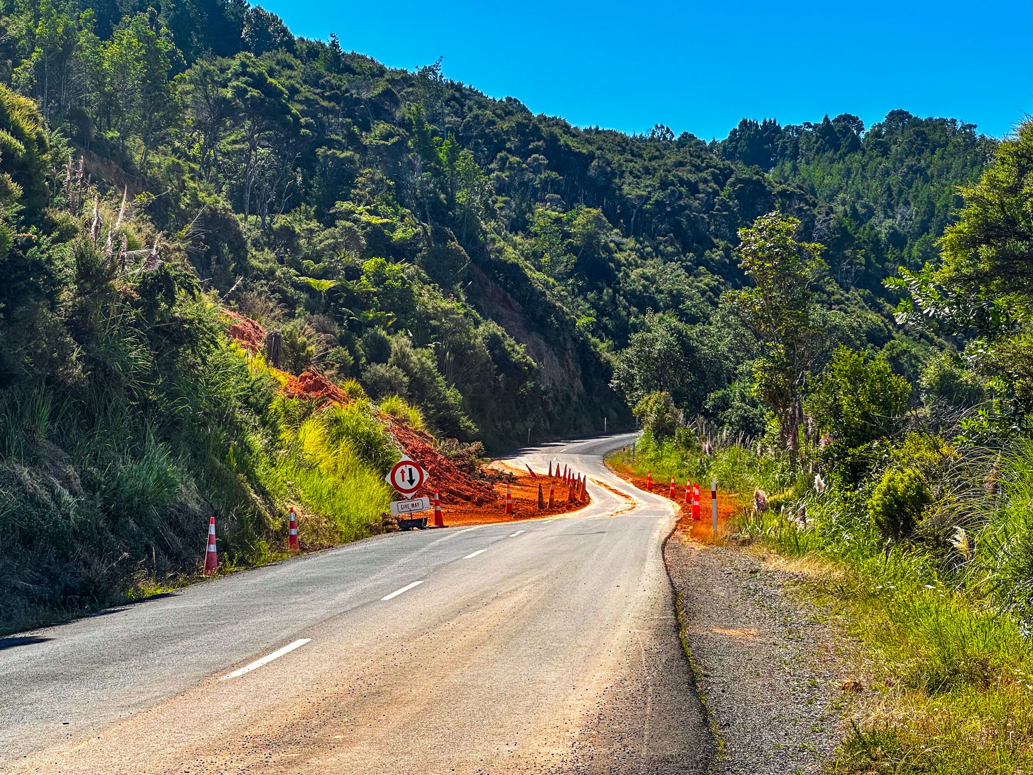
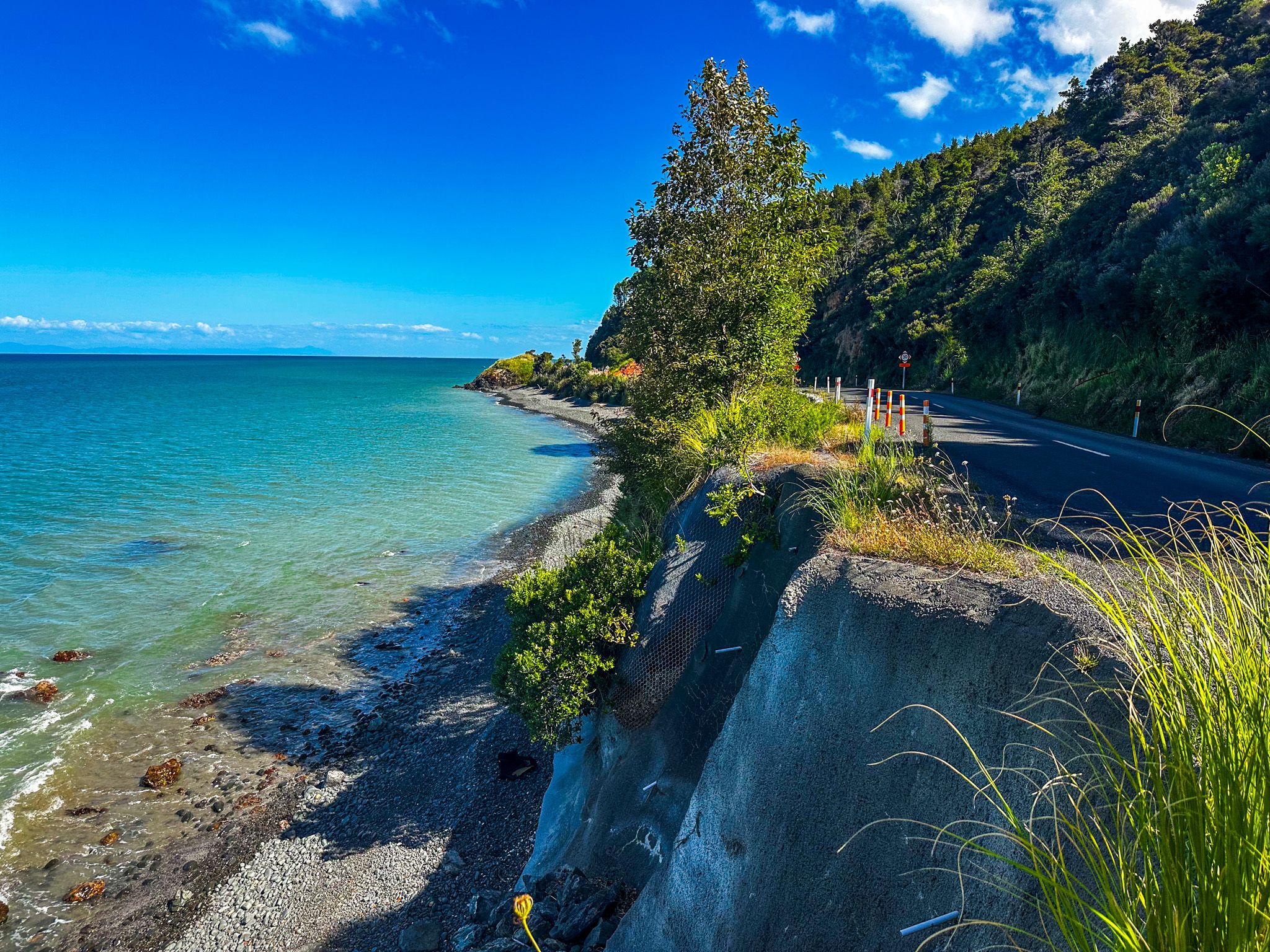
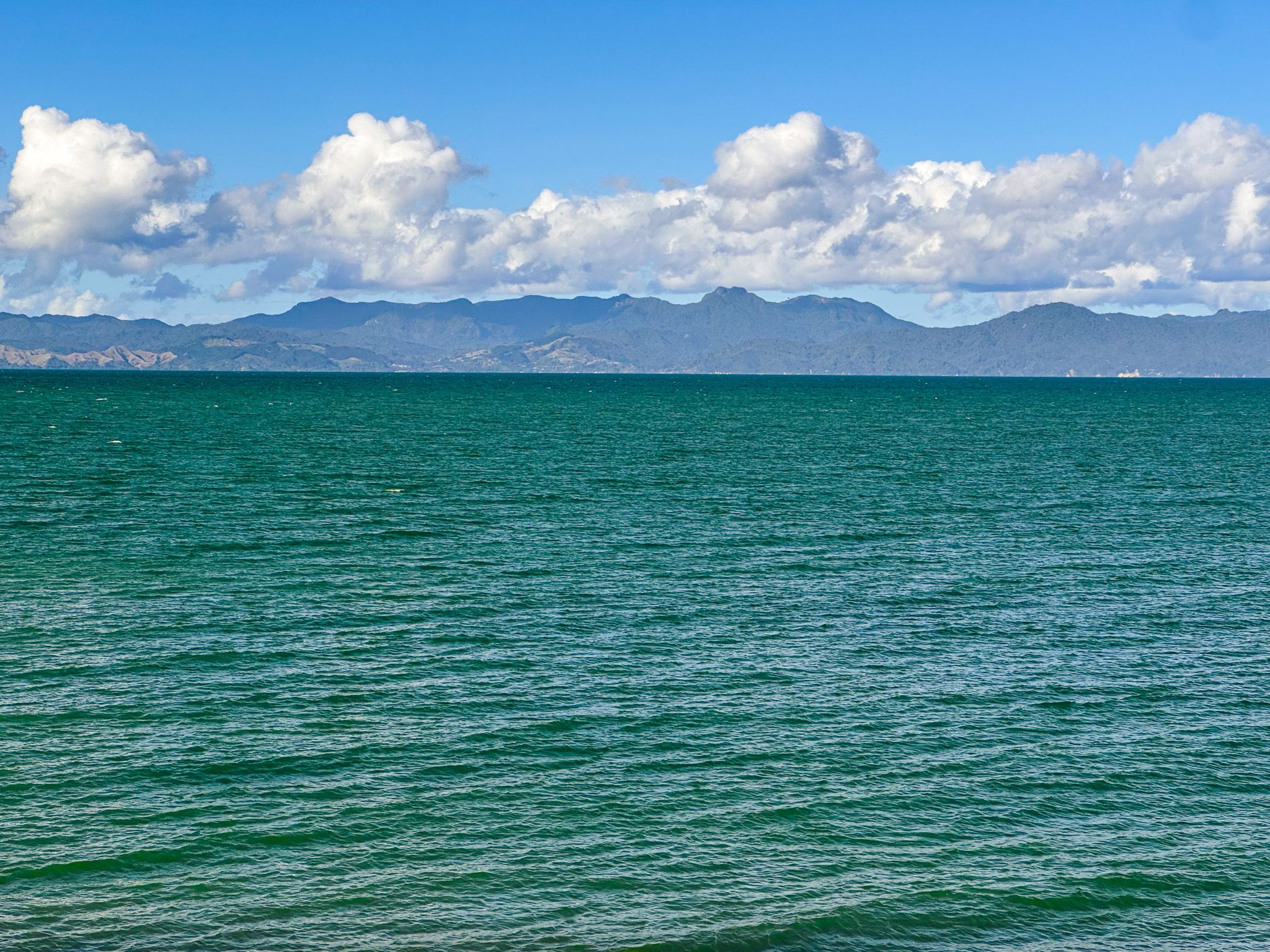
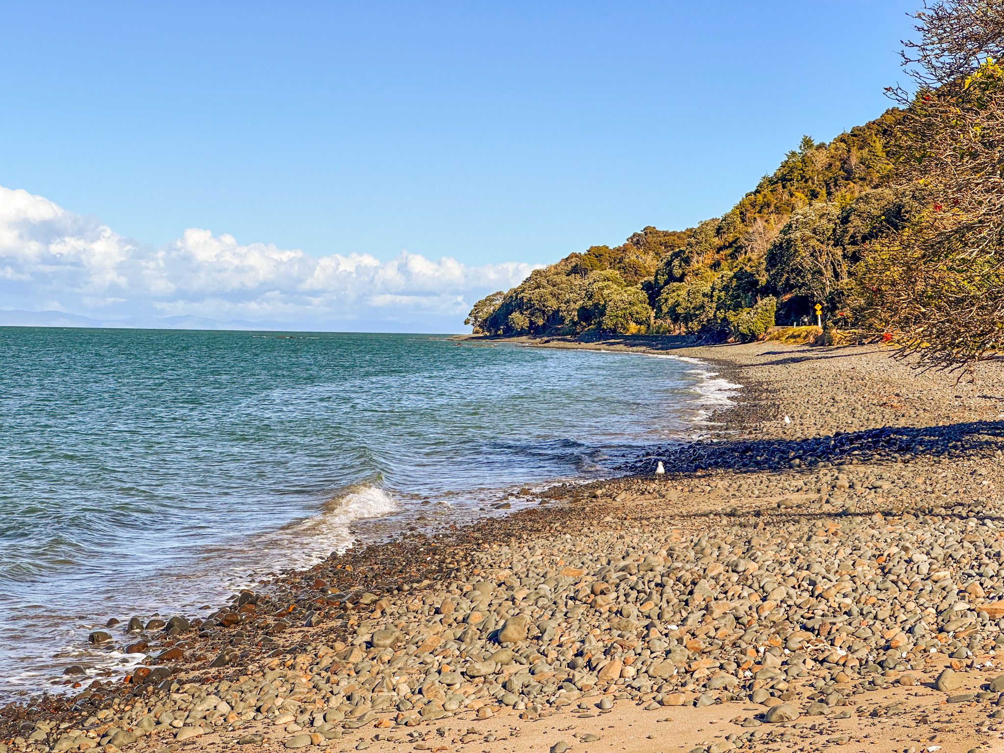
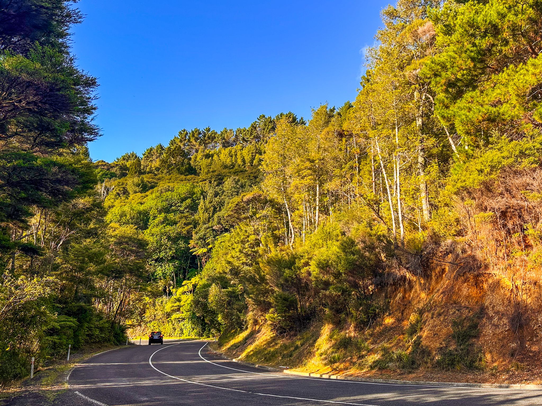
After Tapapakanga Regional Park, the road continues through more rolling green fields, then leaves the Hauraki Gulf headland country as the Firth of Thames comes into view at the tiny coastal hamlet of Matingarahi. The road hugs the edge of the coast’s clifftop for several km, with the Hunua Ranges forming a solid, steep mass to the west. This section is narrow and windy in places, with some blind corners, so drive carefully. In one short section, the orange cliff above the road is slip-prone, so don’t be surprised to see some debris! If you drive slowly enough, you can spot a safe place to park to get a cliff-edge photo of the firth.
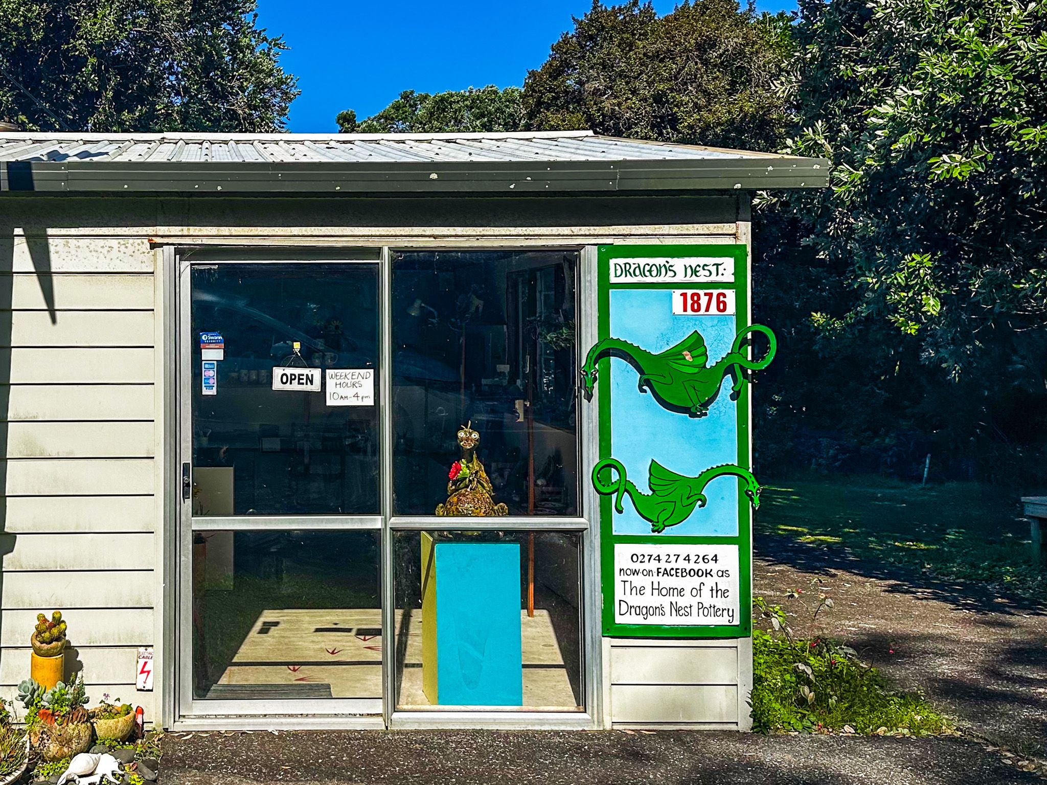
At the end of the cliff section, Waharau Regional Park marks the boundary between Auckland and the Hauraki District in the Waikato. The park stretches from the eastern foothills of the Hunua Ranges to a gravel shoreline on the firth. There are campgrounds, farm and forest walks. Nearby is the Dragon's Nest Gallery, a small local gallery that specialises in quirky pottery dragons.
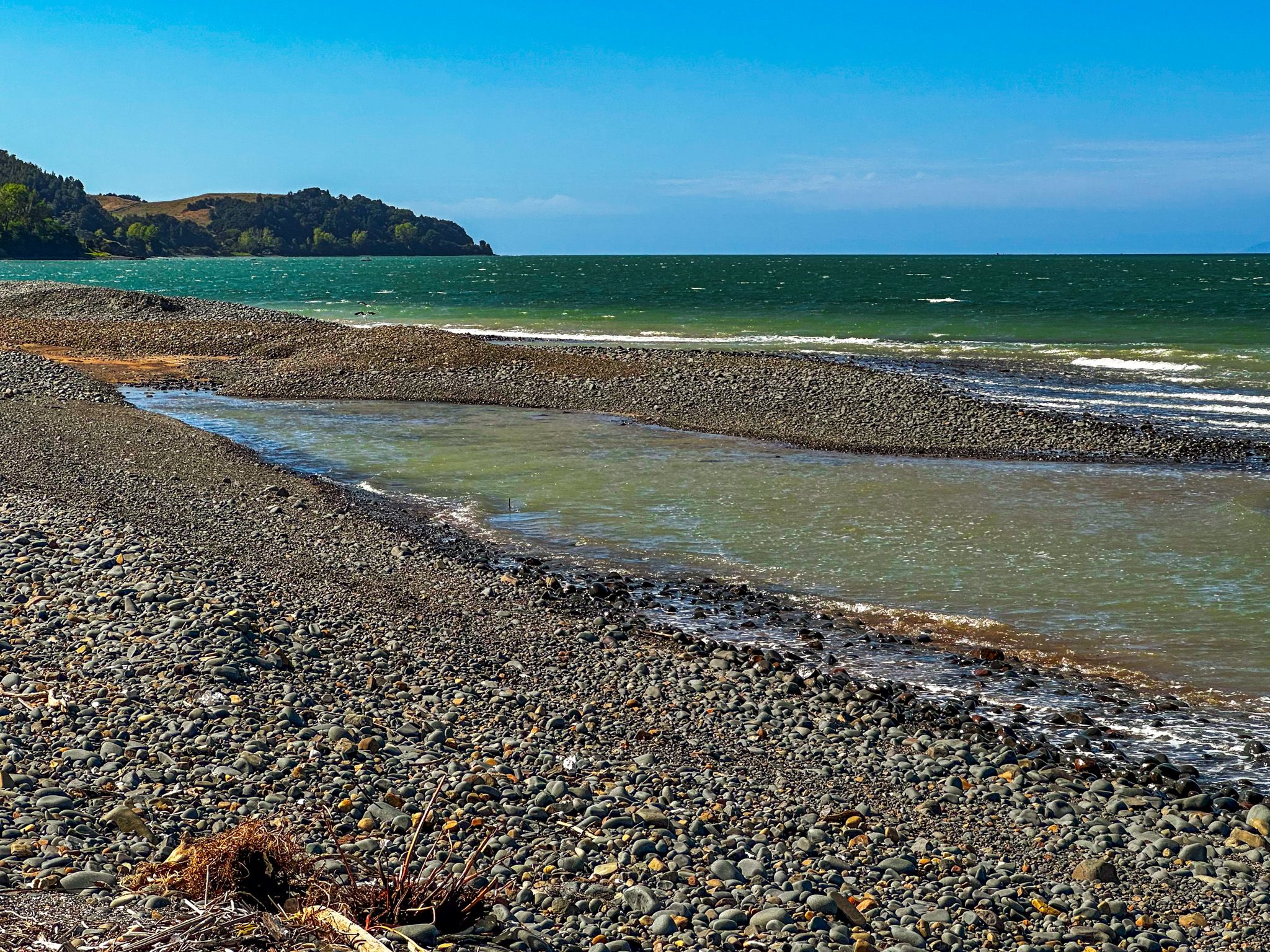
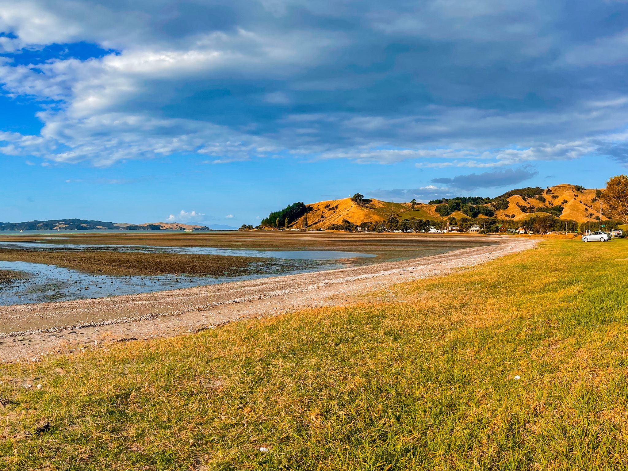
From Waharau, the coast turns to a wide coastal plain as you leave the ranges behind. The road continues near the shoreline, with the tidal flats to one side and farmland or low cliffs to the other.
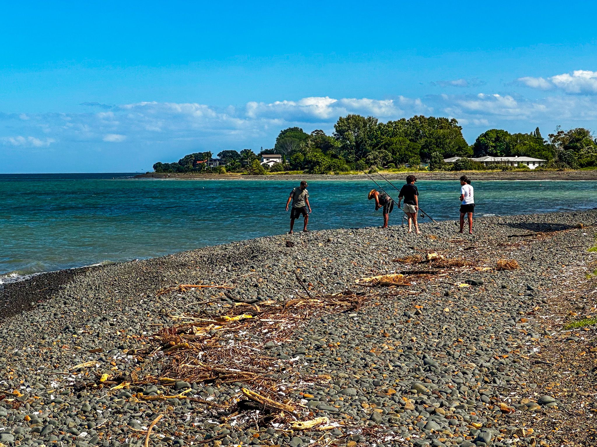
Kaiaua is the nearest thing to a town on the west side of the Firth of Thames. It is a small settlement with a popular fish-and-chip shop, the Bayview Hotel, the Pink Shop (cafe), a boat ramp, and a beachside freedom camping area. A large black oystercatcher sculpture stands in the camping area and marks the start of the Seabird Coast. Kaiaua is also the northern trailhead of the Hauraki Rail Trail, which follows the edge of the firth to Thames and the Hauraki Plain to Matamata, and is an endpoint of the Hunua Traverse.
Follow Kaiaua Road from Kaiaua to visit the Mangatangi Reservoir at the southeast end of the Hunua Ranges.
The Seabird Coast and Pūkorokoro / Miranda
South of Kaiaua is Pūkorokoro / Miranda on East Coast Road, where the shell banks and tidal mudflats of this part of the Firth of Thames support some of the most significant concentrations of migratory shorebirds in the southern hemisphere. As the landscape flattens and the horizon widens, flocks of birds are often visible on the mudflats at low tide and gathering on the shell banks at high tide.
Visit the Pūkorokoro Miranda Shorebird Centre on the highway for an introduction, then the Robert Findlay Wildlife Reserve, for a short walk across the salt marsh to two hides overlooking the shell banks. There, at high tide, you can spot thousands of bar-tailed godwits, red knots, wrybills and oystercatchers.
As a deviation, take Miranda Road west to the Miranda Farm Shop and Gallery. This organic farm shop and café, with a gallery in the orchard, sells organic jams, jellies, relishes, cheese, juices and produce. It is a worthwhile stop and a good place to pick up lunch before a session at the bird hides.
How to Get There
From Downtown Auckland, take the southern motorway to the Hill Road off-ramp, then head east-northeast via Hill Road, Stratford Road, Alfriston Road, Alfriston-Ardmore Road, Clevedon-Takakani Road, and Clevedon-Papakura Road to Clevedon. The drive to Clevedon takes 37 minutes and is 39 km. The route starts from Clevedon.