Auckland's Largest Storage Lake
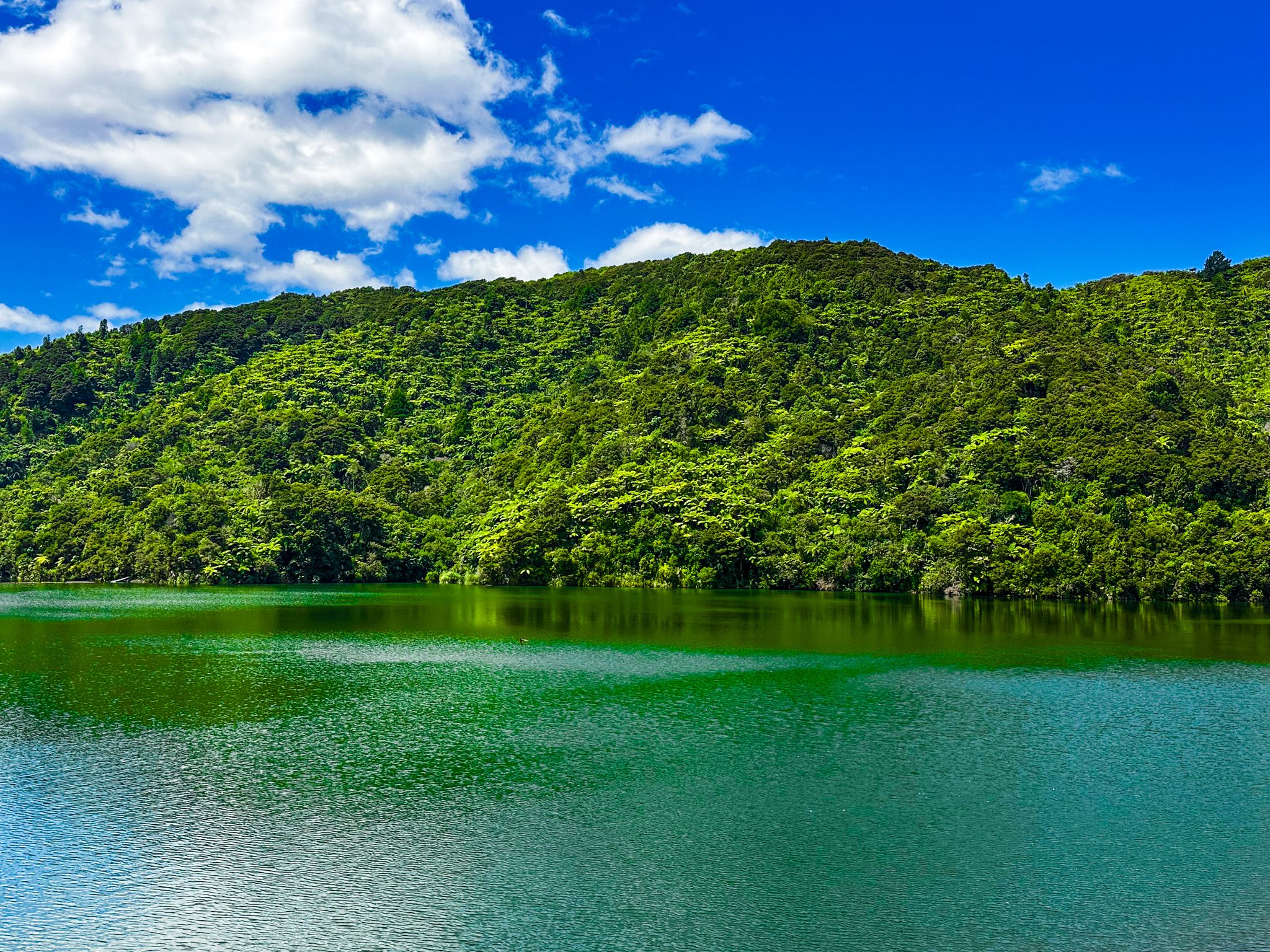
The Mangatangi Reservoir is the largest dam and water-storage lake for Auckland, set in a deep valley in the eastern Hunua Ranges in North Waikato, west of the coastal settlement of Kaiaua. The reservoir is part of a cluster of four dams in the Hunua Ranges that supply around 60 per cent of Auckland's water. It is accessible from Kaiaua Road, which heads inland from the coast near Kaiaua. The reservoir provides a striking glimpse into the scale of Auckland's water supply infrastructure, as well as access to regrowth native forest, including kauri, on the southeast side of the ranges.
The Dam and Reservoir
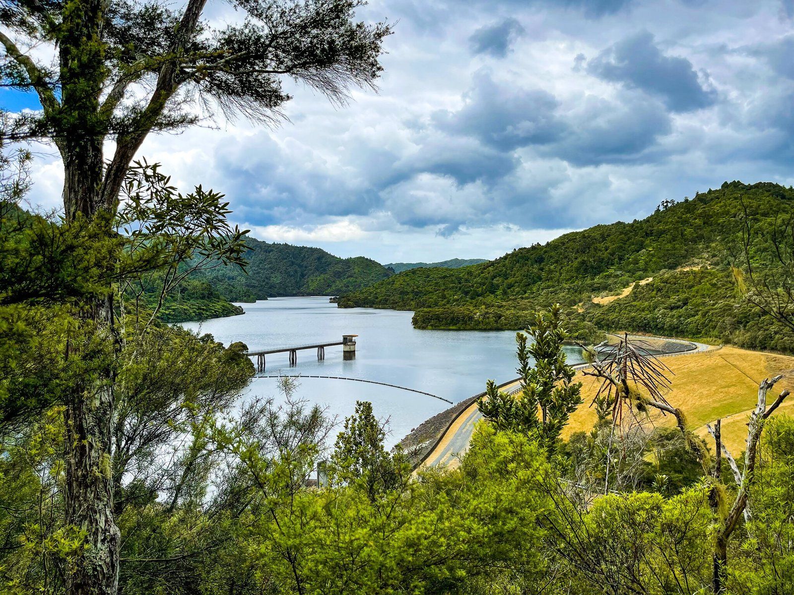
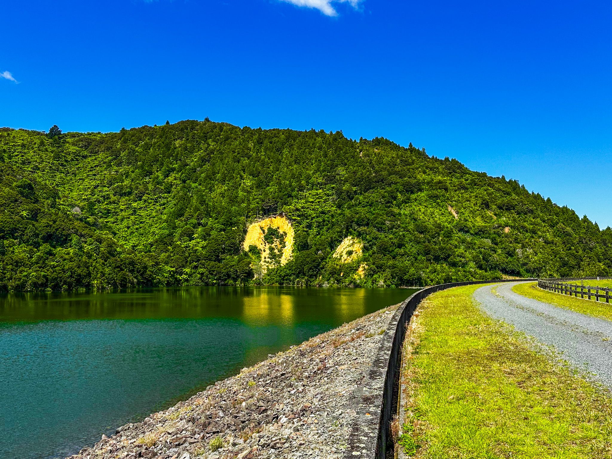
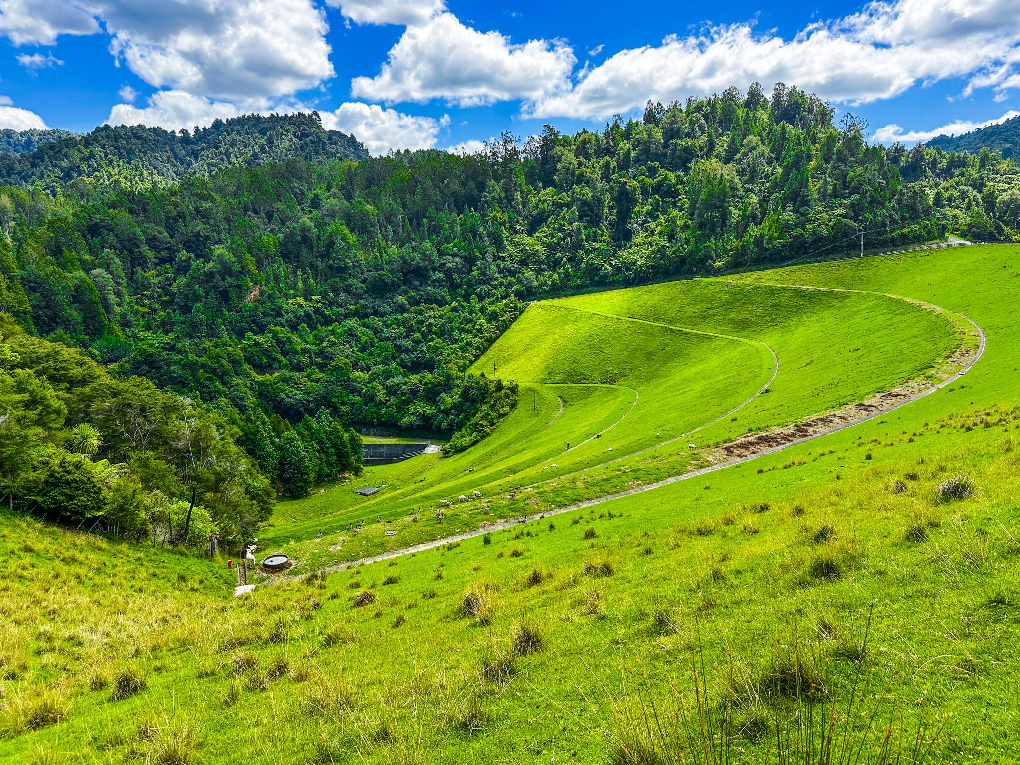
The dam was completed in 1977 as the final addition to the Hunua water supply system. It is an earthfill structure 78 metres high with a crest length of 340 metres, the third-largest earthfill dam in New Zealand by volume, and required over two million cubic metres of fill material during construction. The lake covers 185 hectares and holds approximately 35 billion litres of water, supplying close to a quarter of Auckland's drinking water through gravity-fed aqueducts to the Ardmore Water Treatment Plant near Clevedon.
The name Mangatangi means “stream of weeping” in Māori. The reason for its application in this instance is unclear, but it may relate to the similarity between the sounds of the running river and of weeping.
Access and Views
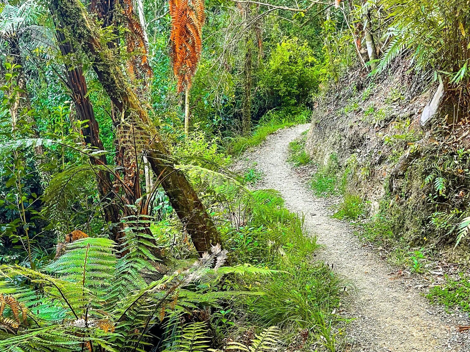
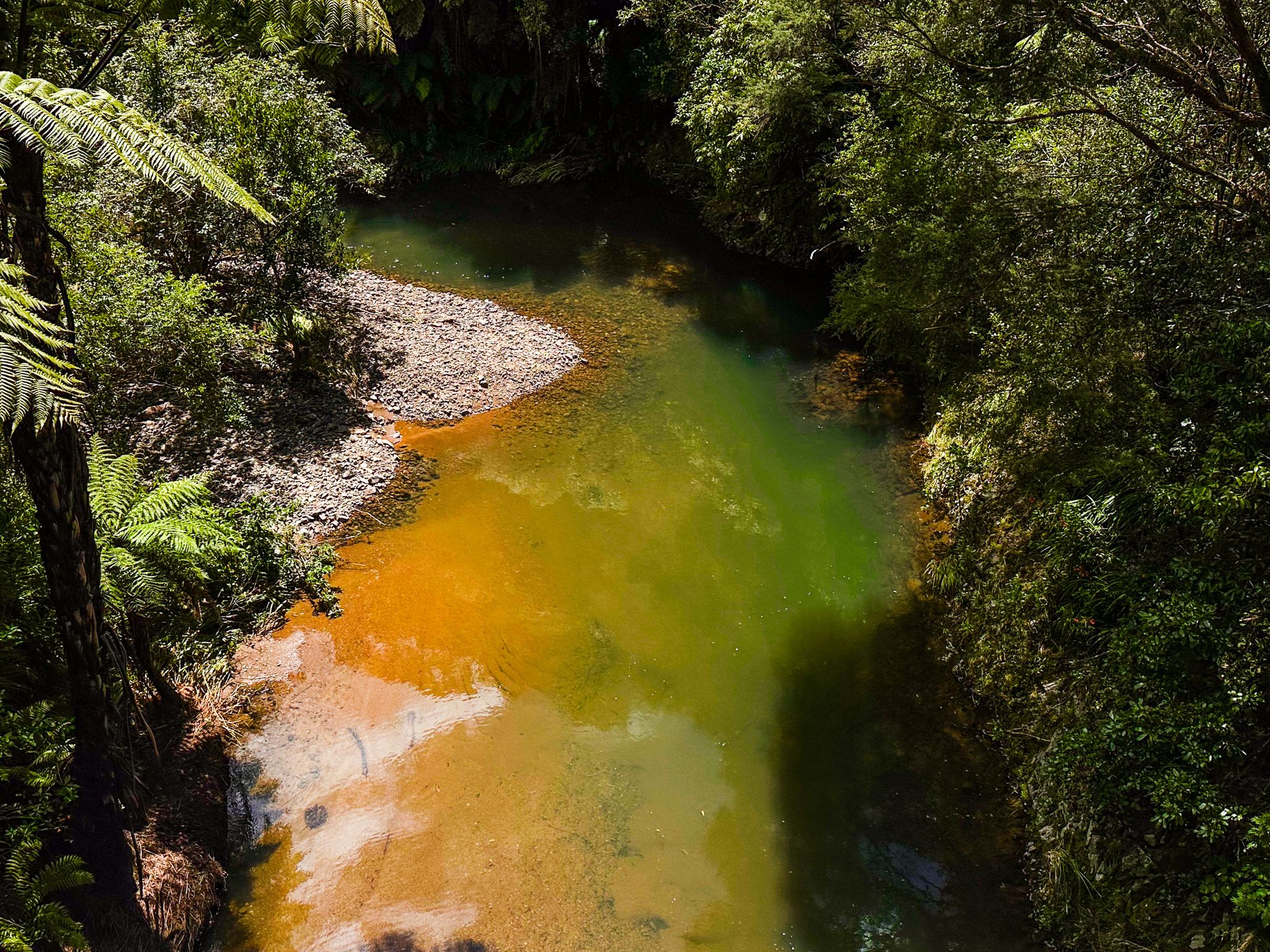
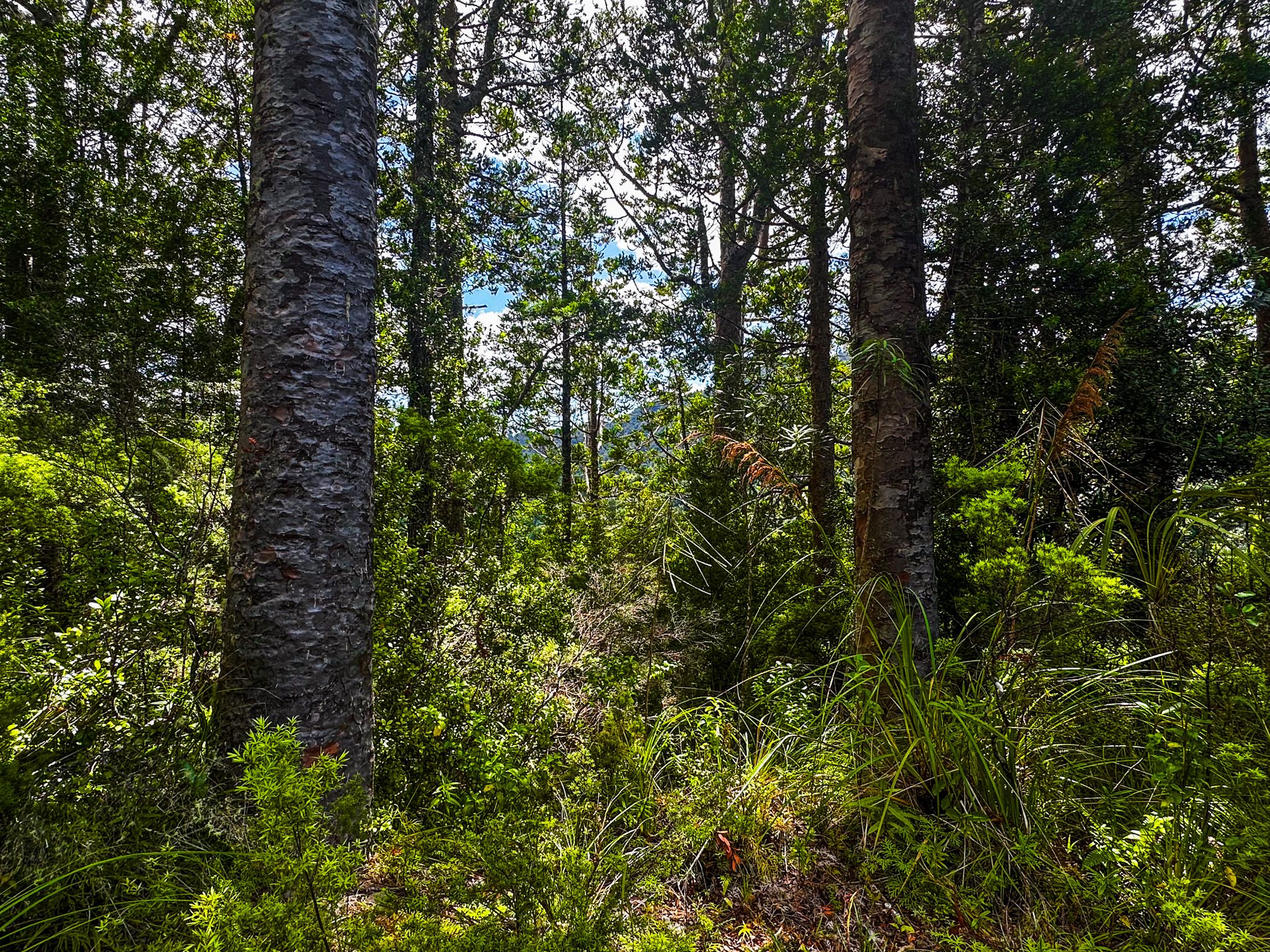
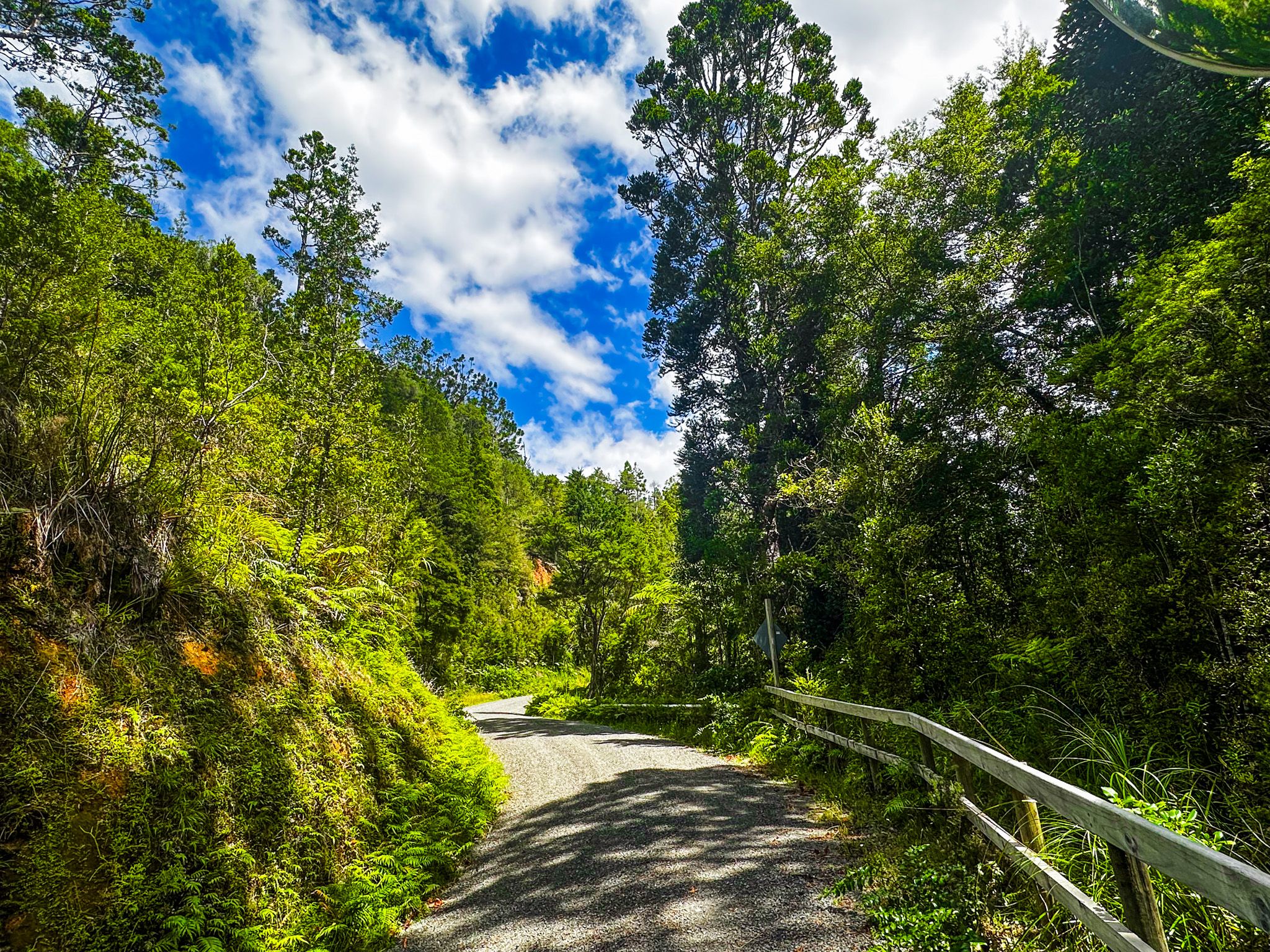
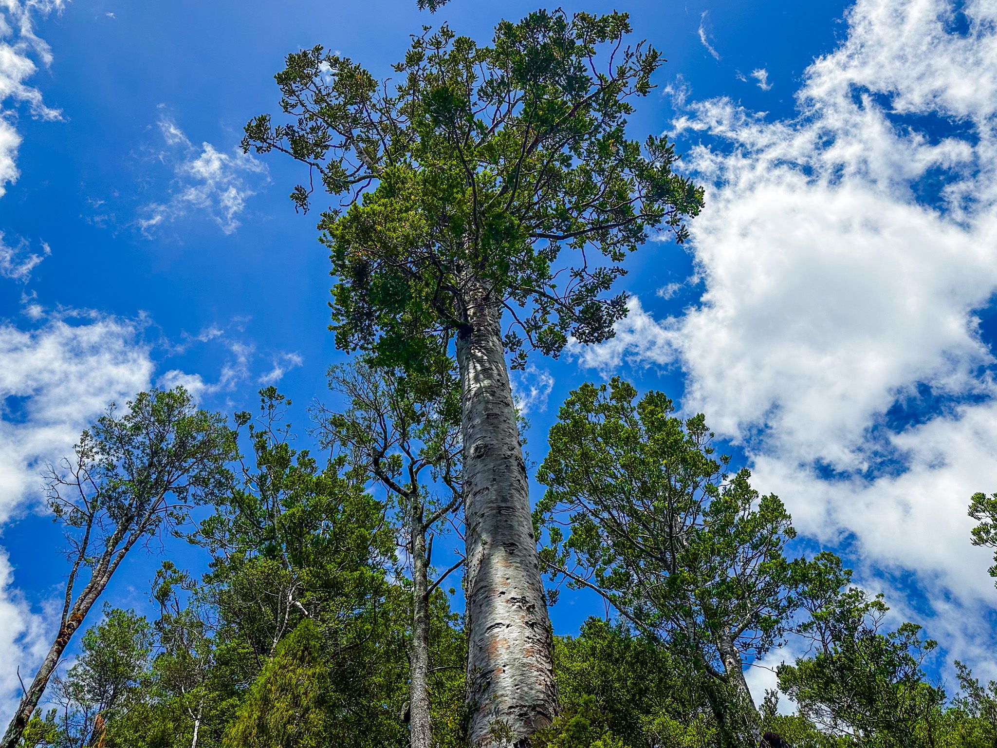
Kaiaua Road winds up into the foothills of the Hunua Ranges from the coast. From there, take Workman Road, then ARA Drive, which takes you across a bridge over the Mangatangi River, with nice river views, through regenerating forest to a car park at the base of the dam. There, the road is closed to traffic except walkers and cyclists. The walk up the road to the top of the dam is short but steep. Cyclists can continue on the gravel road, the Hunua Traverse, all the way to Clevedon. A short walk here provides some views above the reservoir and of a copse of maturing kauri, well over 100 years old.
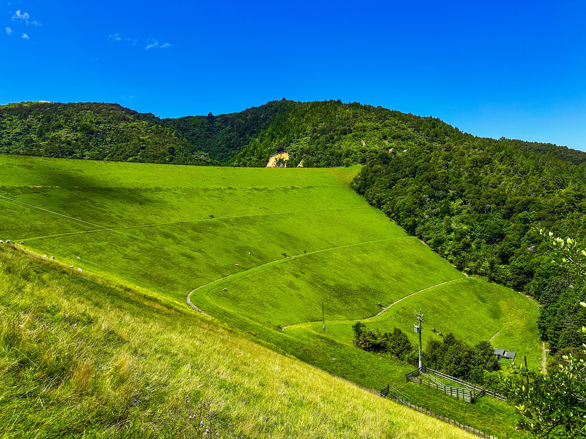
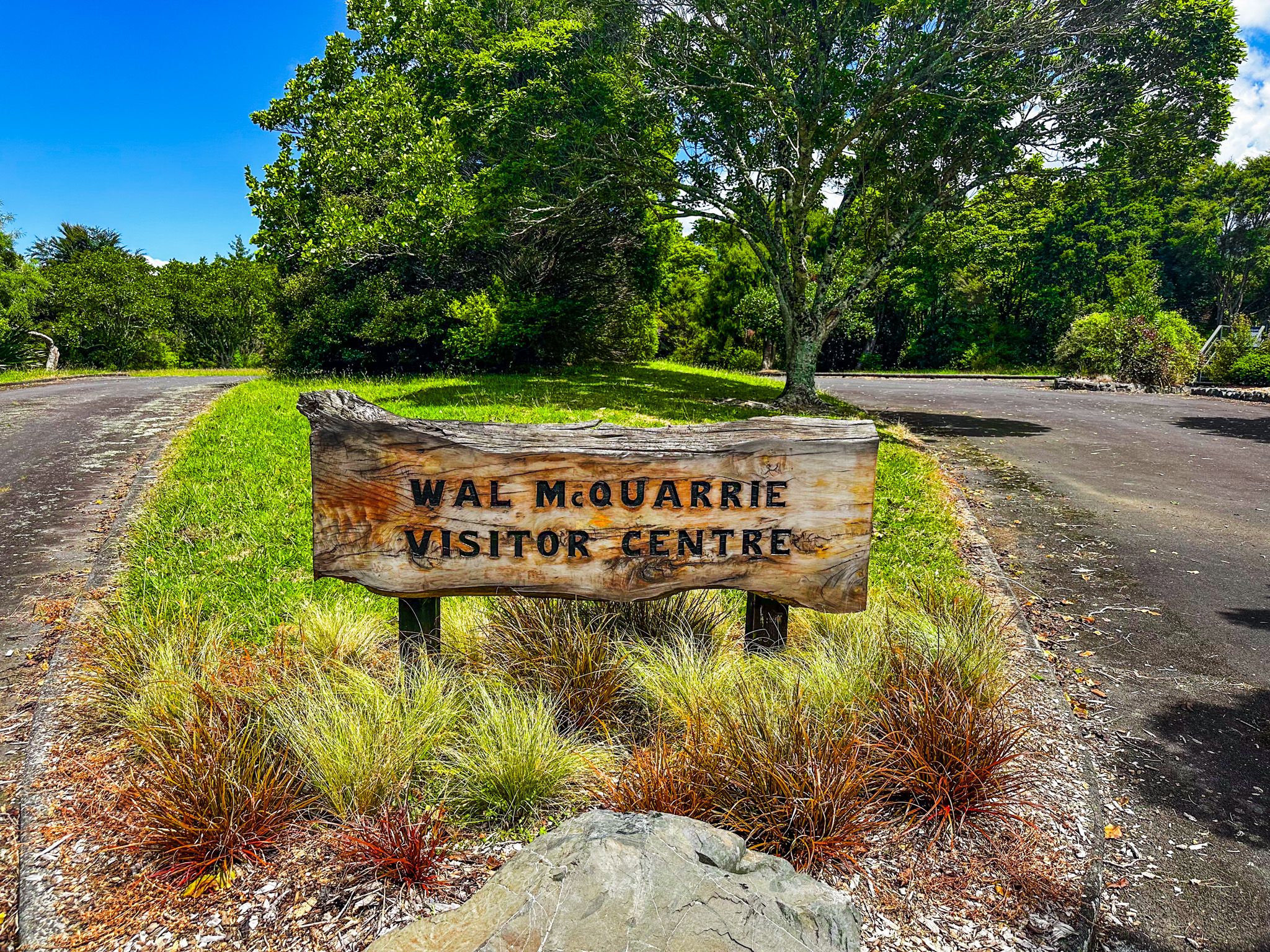
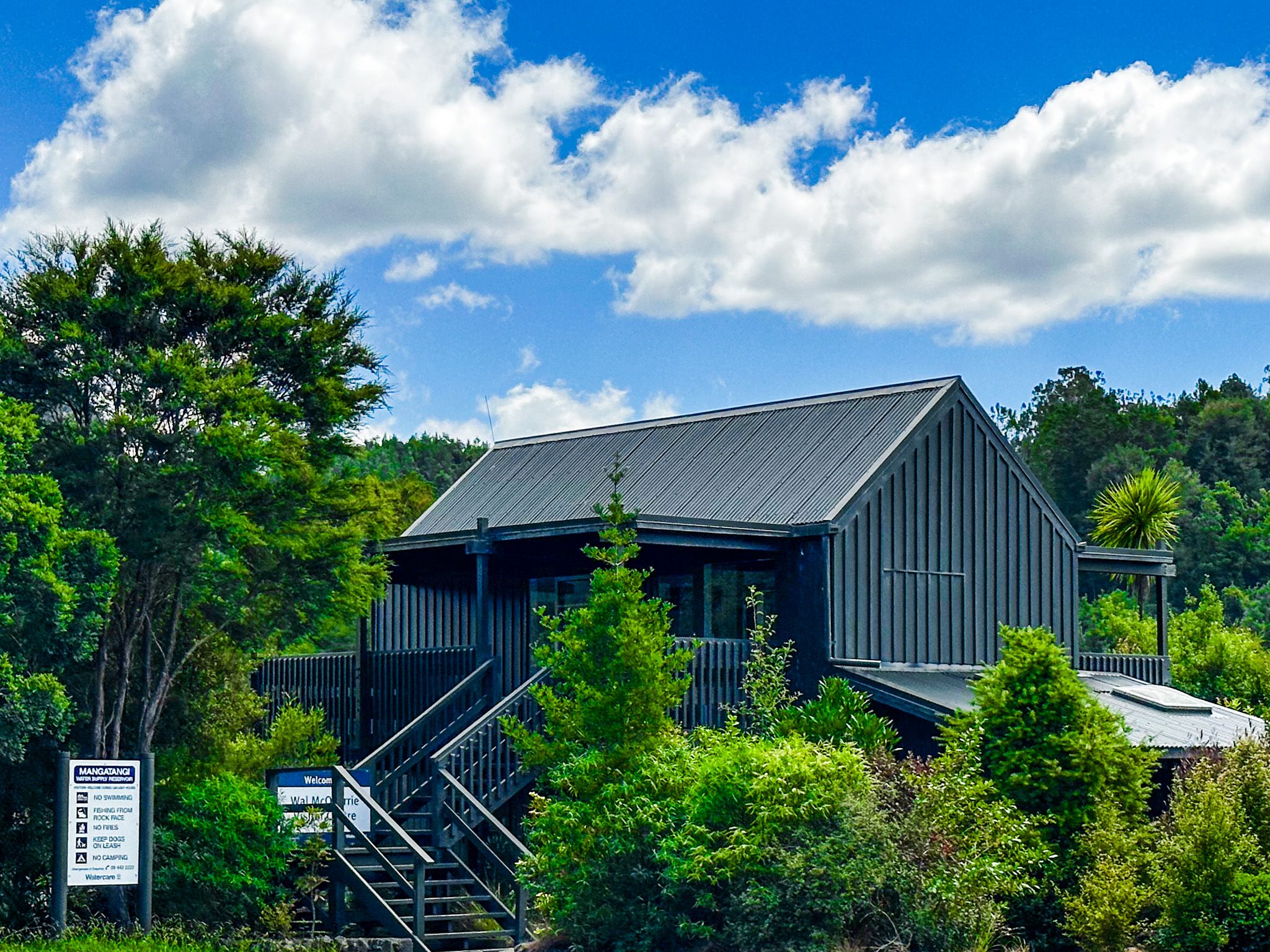
Walking across the dam provides views across the reservoir to the surrounding forested hills and down the dam to its base. The steep face of the dam is covered in grass, so expect to see grazing sheep. On the far side of the dam, you can pick out a substantial region of kauri regrowth across the hills above the car park. At the end of the dam is a grassed reserve with picnic tables and the Val McQuarrie Visitor Centre, named in 2020 for Val McQuarrie’s 50-year association with the management of the dams. There are a number of wall panels in the centre that describe the dam's role and history, as well as its development.
The area is a protected water catchment, so access to the water's edge and the surrounding Hunua Ranges Regional Park is restricted beyond the top of the dam and the road. Trout fishing is an option, and the reservoir is one of the more unusual trout fishing locations in the Auckland region.
How to Get There
From Downtown Auckland, the most direct route heads south on the southern motorway, turning east onto State Highway 2 once over the Bombay Hills. From there, take Mangatawhiri Road, which becomes Mangatāngi Road to Kaiaua Road. From this road, take Workman Road and gravel ARA Road to the reservoir car park, with toilets and a kauri cleaning station. The drive takes around 65 minutes and is 82 km. From Kaiaua, take Kaiaua Road west to Workman Road, a few minutes' drive.
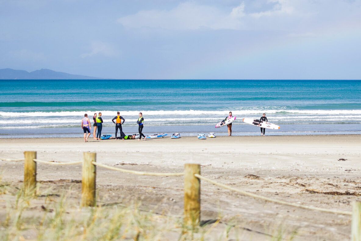
Other nearby places to visit include Pūkorokoro / Miranda, Robert Findlay Wildlife Reserve, and Waharau Regional Park, then head towards Clevedon along the scenic Pacific Coast Highway, with access to several beaches and regional parks.