Gateway to the Seabird Coast
Kaiaua is a small coastal settlement on the western shore of the Firth of Thames in the North Waikato, just south of Pūkorokoro / Miranda. It sits near the point where the firth narrows and the character of the coast changes. The mix of rocky shoreline with shell beaches of the upper Firth gives way to the enormous shell banks and tidal flats that define the internationally significant wetland landscape to the south. Kaiaua is also the northern starting point of the Hauraki Rail Trail and of the Seabird Coast.
Derivation of Kaiaua
Kaiaua means “eating mullet”, a reference to the productive fishing grounds in the area. Māori settlement here has been continuous for over 600 years, beginning with the arrival of the Tainui waka, which is said to have landed at nearby Waihīhī Bay around 1400. Ngāti Pāoa and Ngāti Whanaunga, both Tainui peoples, have long connections to this coast.
The settlement was known as New Brighton by early European settlers before being formally renamed Kaiaua in 1897.
Following the Beach
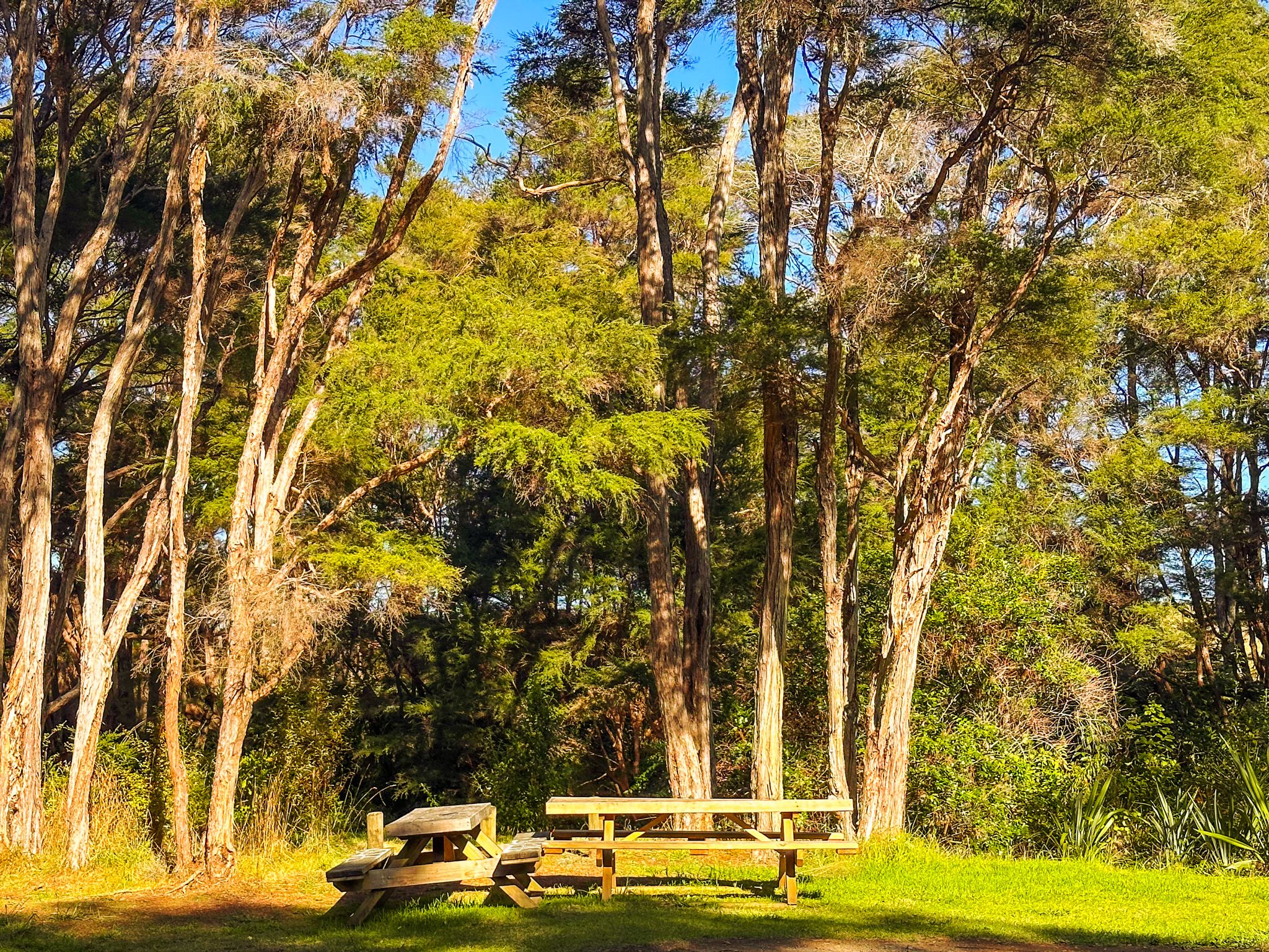
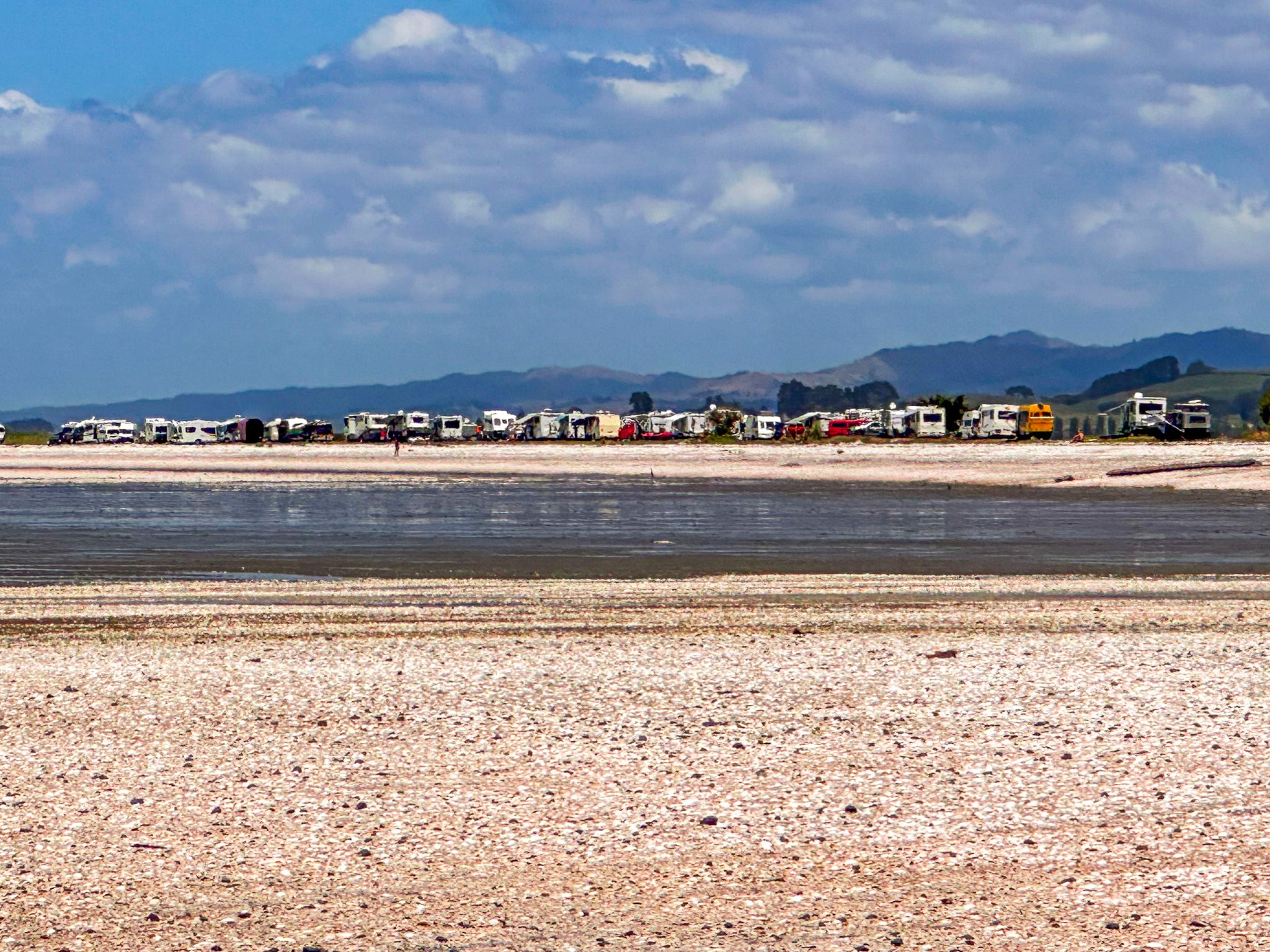
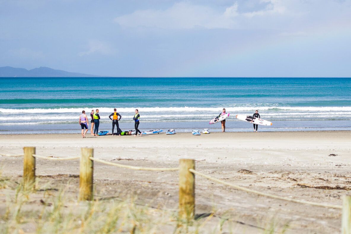
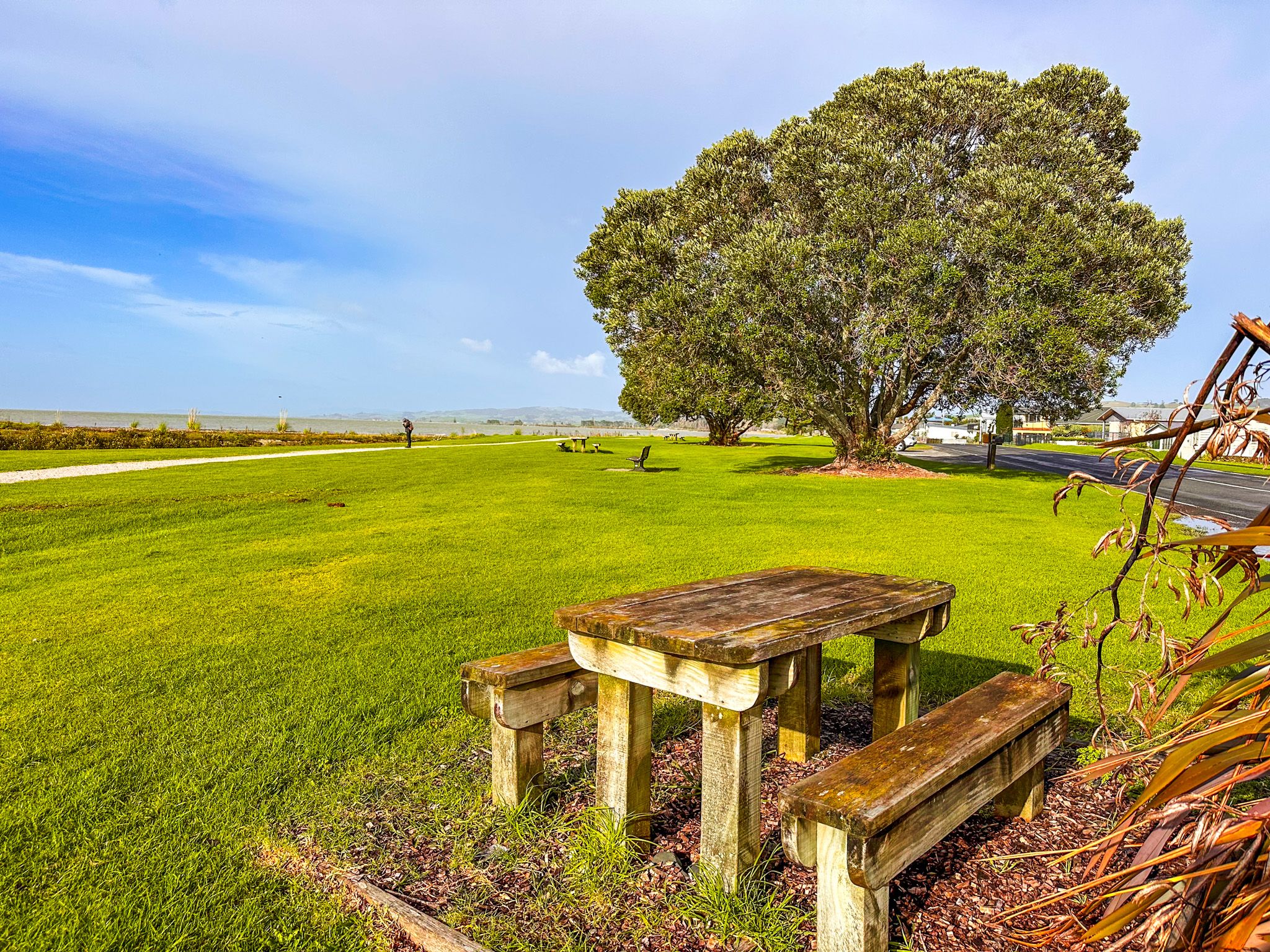
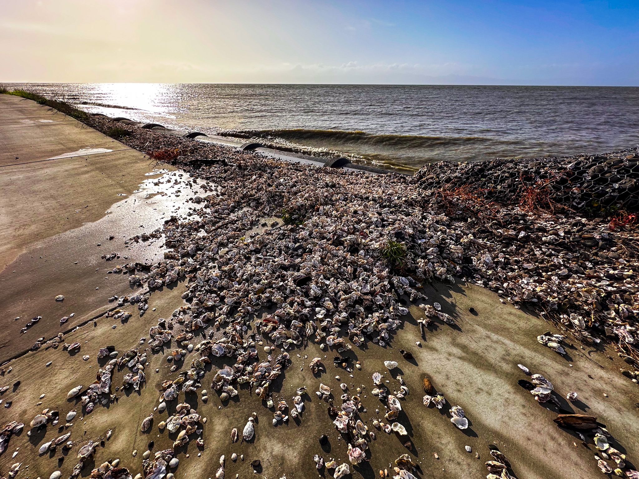
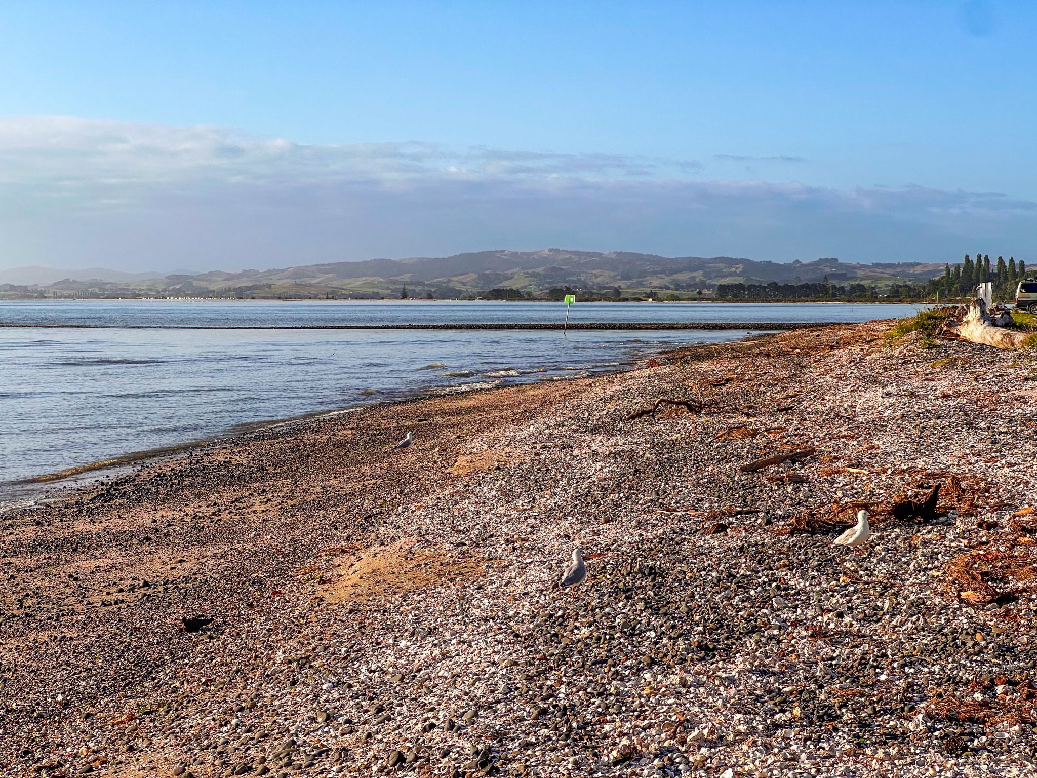
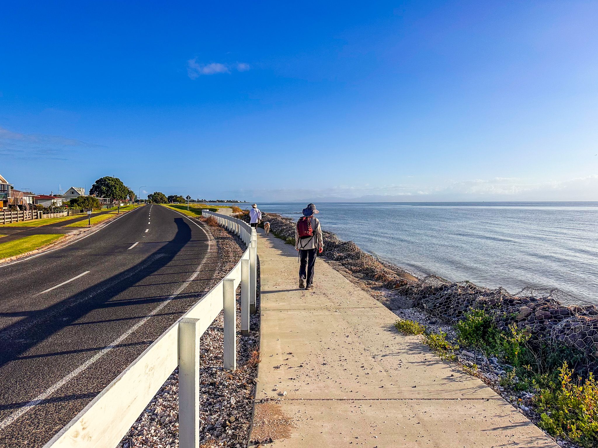
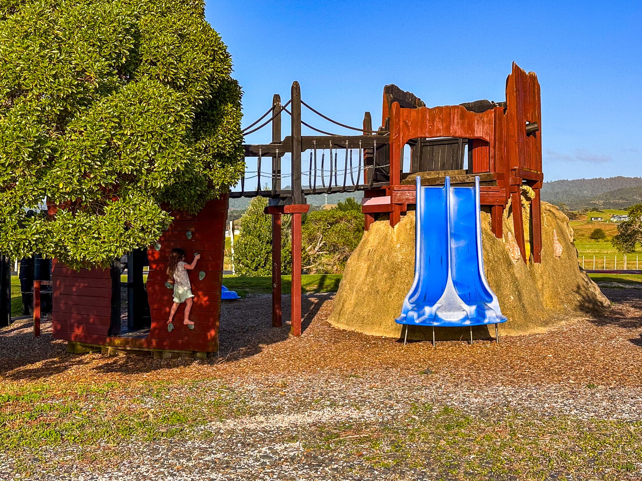
The main road follows the coast, with a walkway between the road and the shell-lined beach with wider grass reserves in places. This includes a playground with a couple of unusual features for kids to discover. The beach is mostly covered in millions of cockle shells and is not particularly conducive to beach activities or swimming, though it is safe. As the tide retreats, wide flats are exposed.
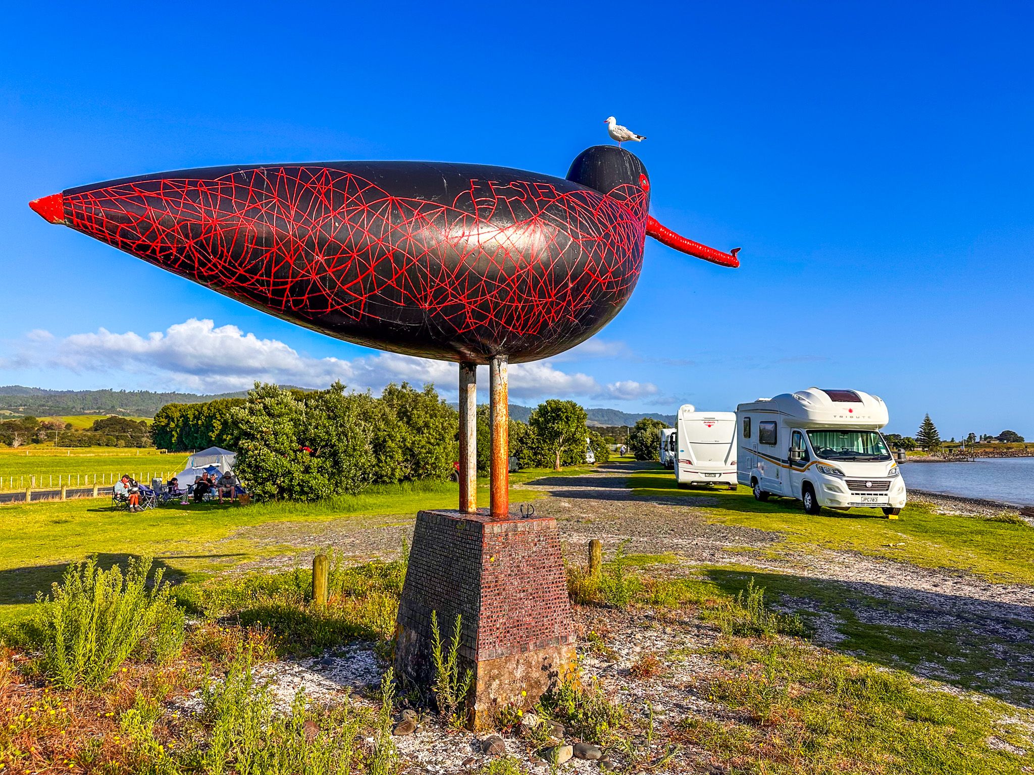
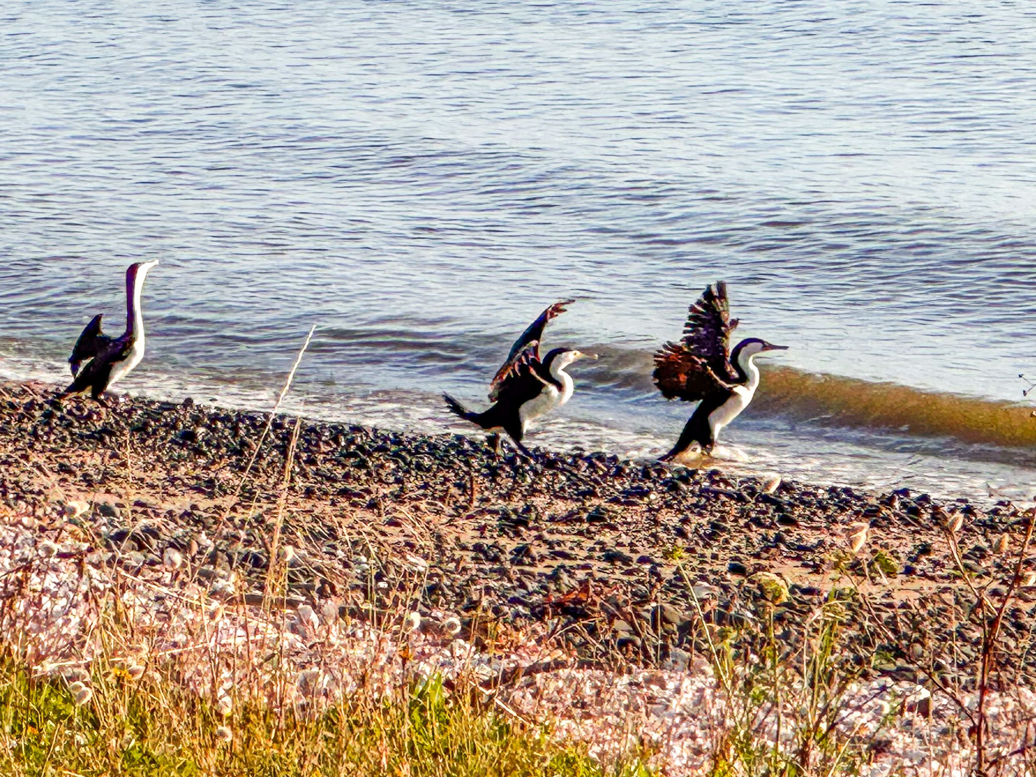
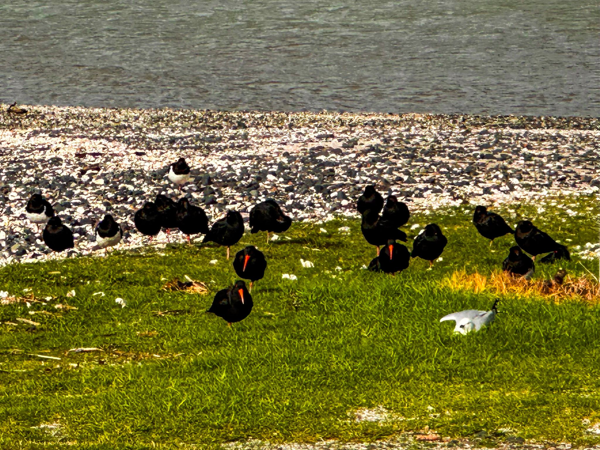
The seabirds are a major point of interest, reflected in the moniker, the Seabird Coast. This is marked by the Torea Mangu oystercatcher sculpture in the freedom camping area at the north end of Kaiaua. At over four metres long and 3.5 metres tall, it is the world's largest sculpture of an oystercatcher. The ferro-cement work by local artist Tony Johnston, representing the “mother of all oystercatchers”, was erected facing north-east into the prevailing wind, symbolising the region's seabirds. An 800-year-old pūriri tree also stands nearby and is one of the oldest living trees accessible to visitors anywhere in the Auckland region.
The Village and its Character
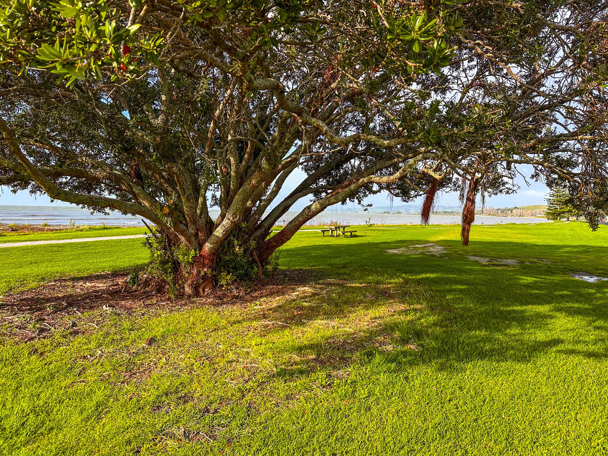
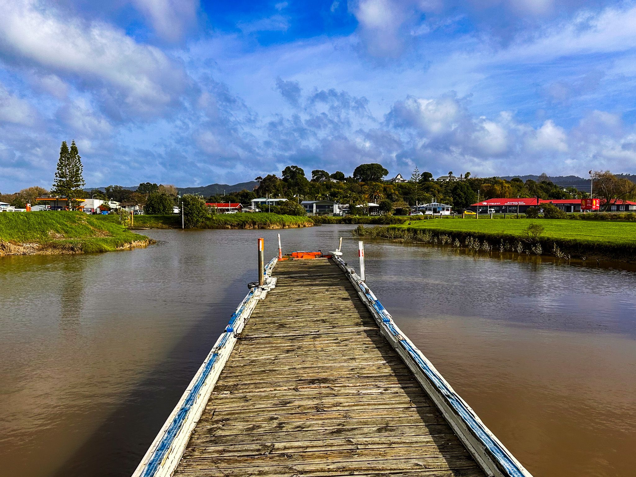
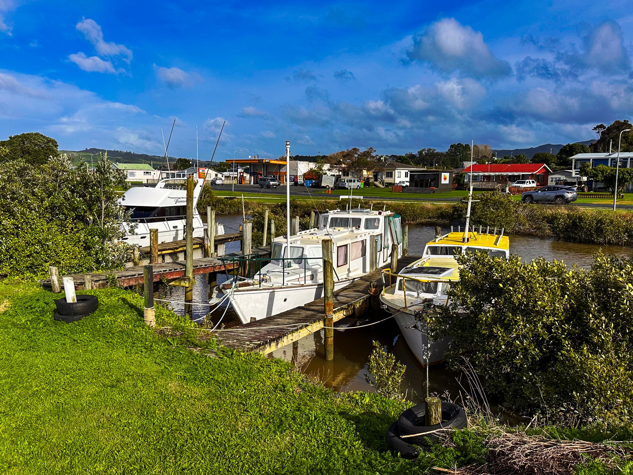
Old baches and newer houses are on the west side of the road. Trees, mostly pōhutukawa, can be seen at some of the reserves. The Hauarahi Stream is a prominent feature running into the firth near the centre of the town, with several boats parked at a small wharf on the tidal stream mouth. Nearby is a boat ramp for public access to the Firth.
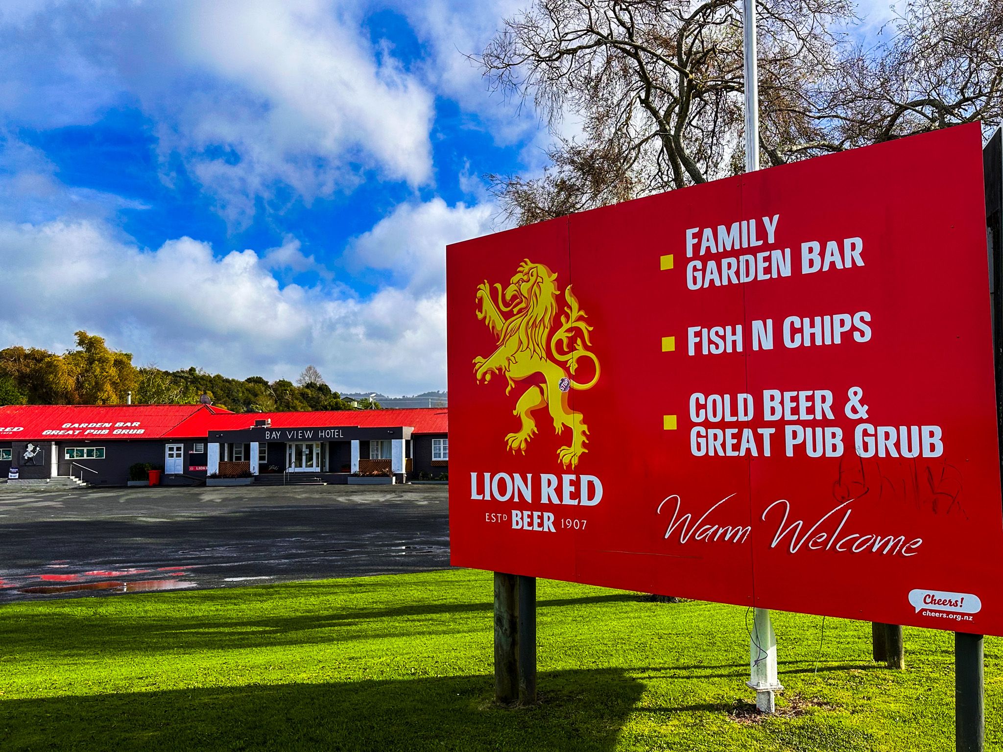
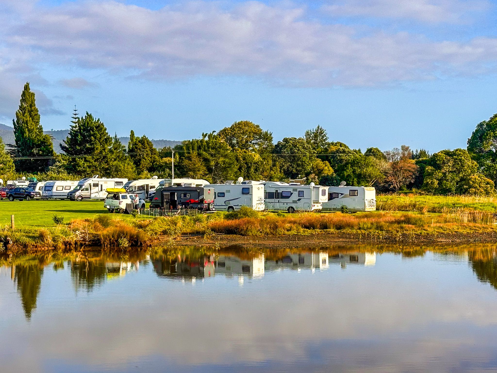
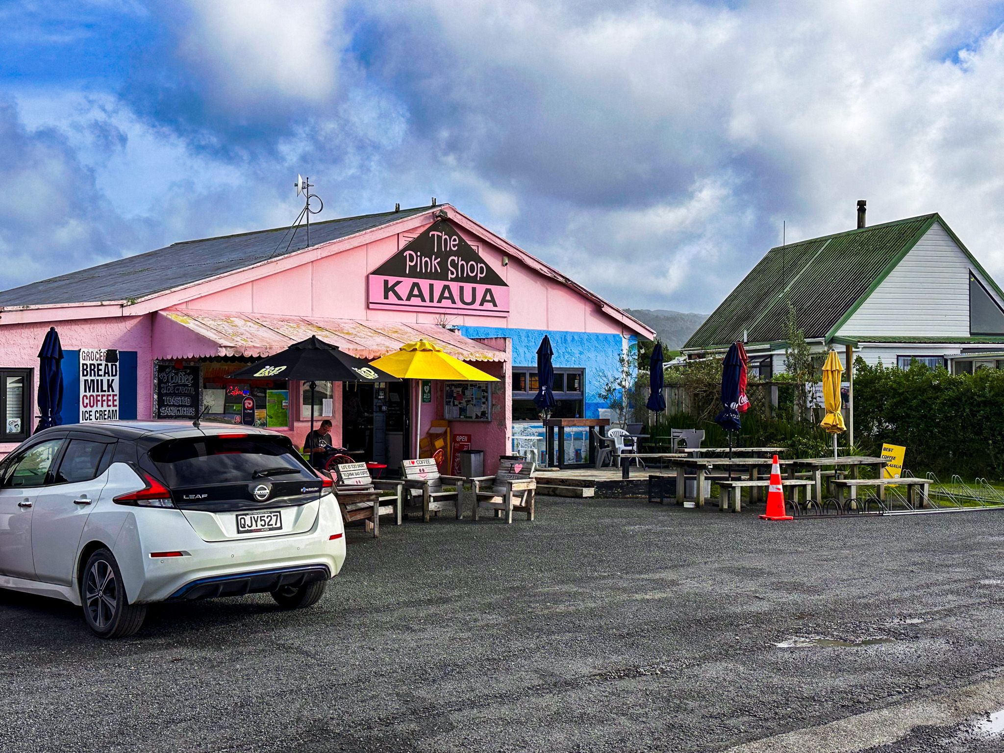
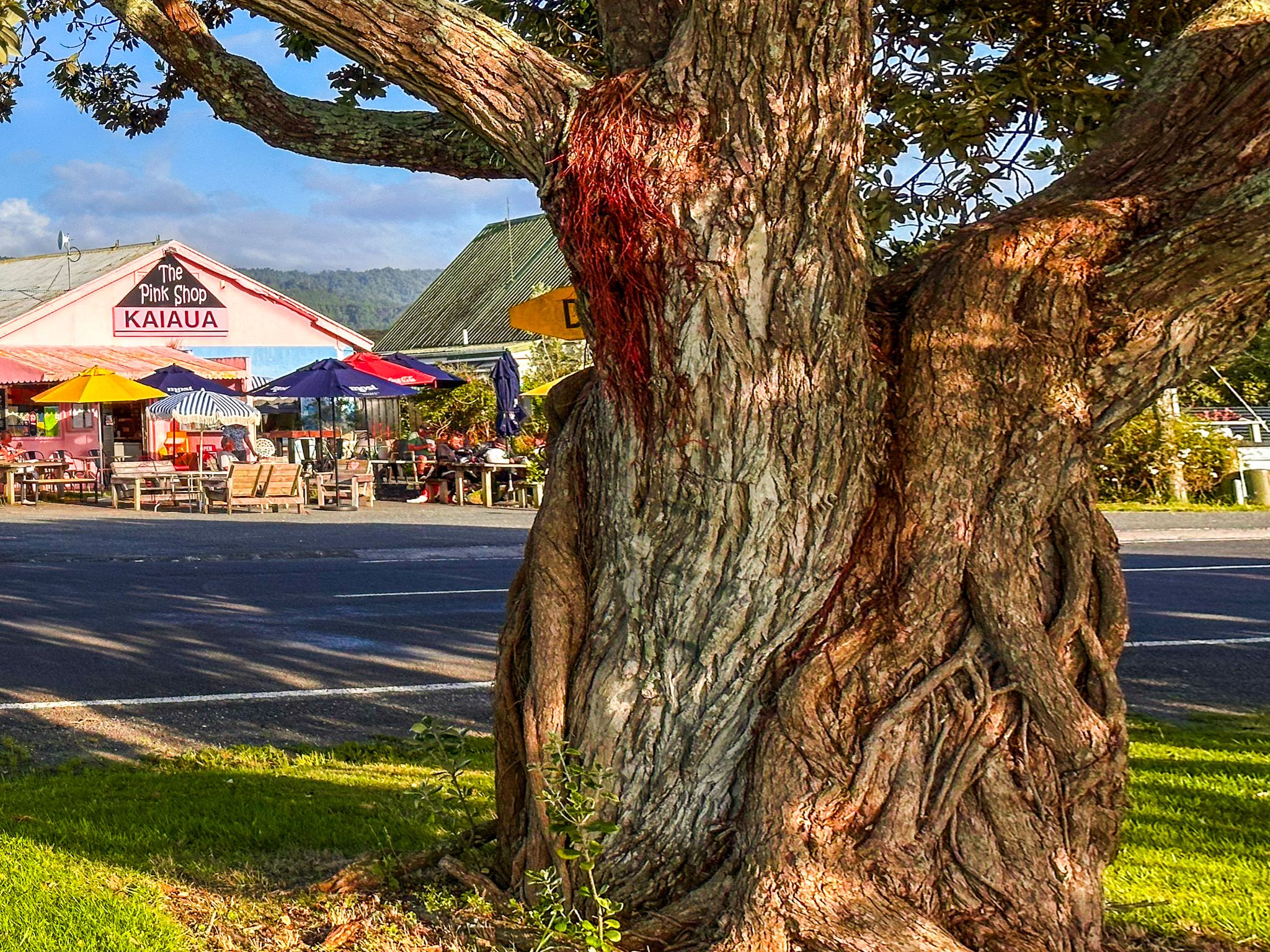
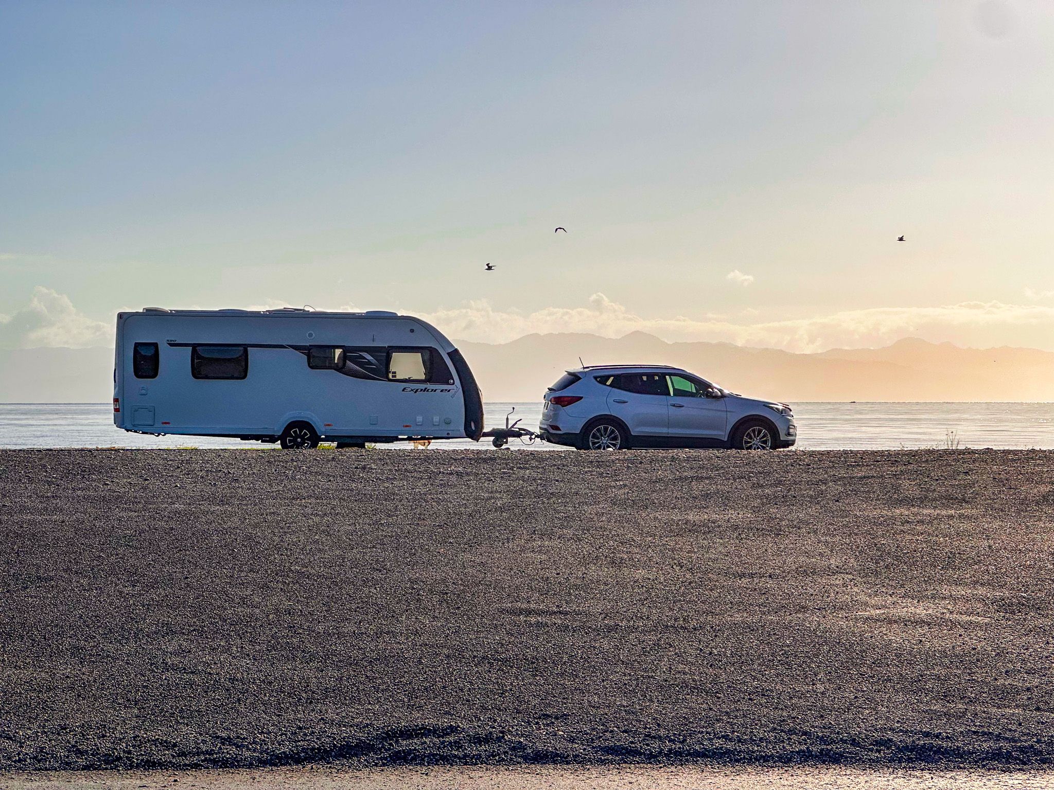
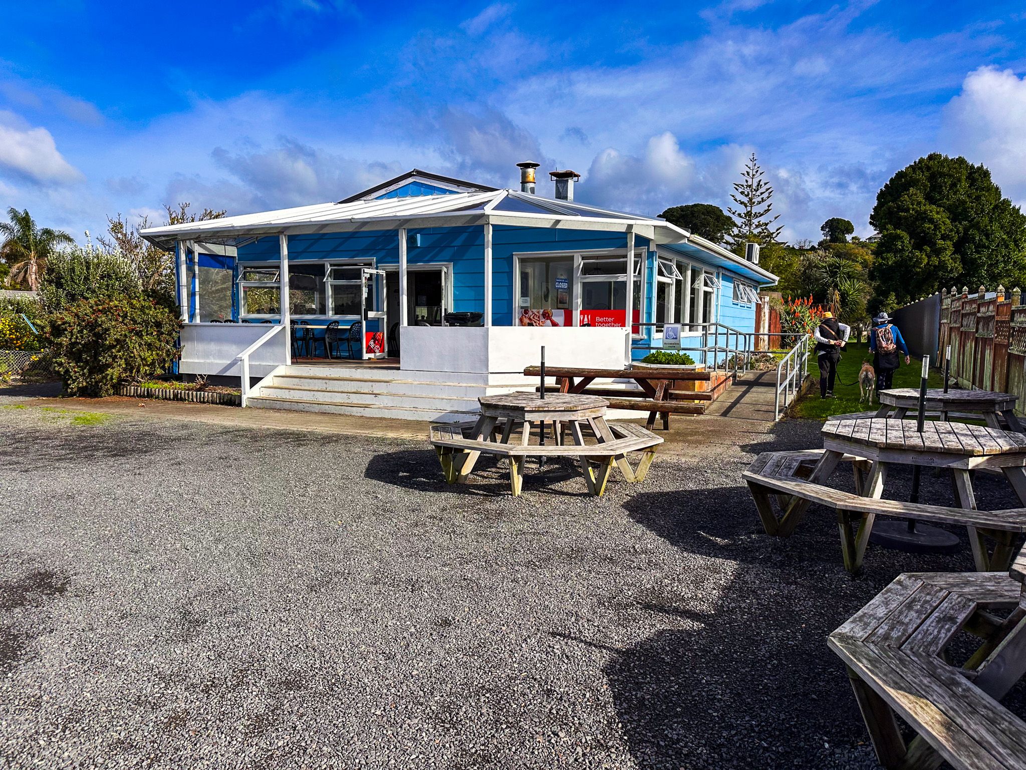
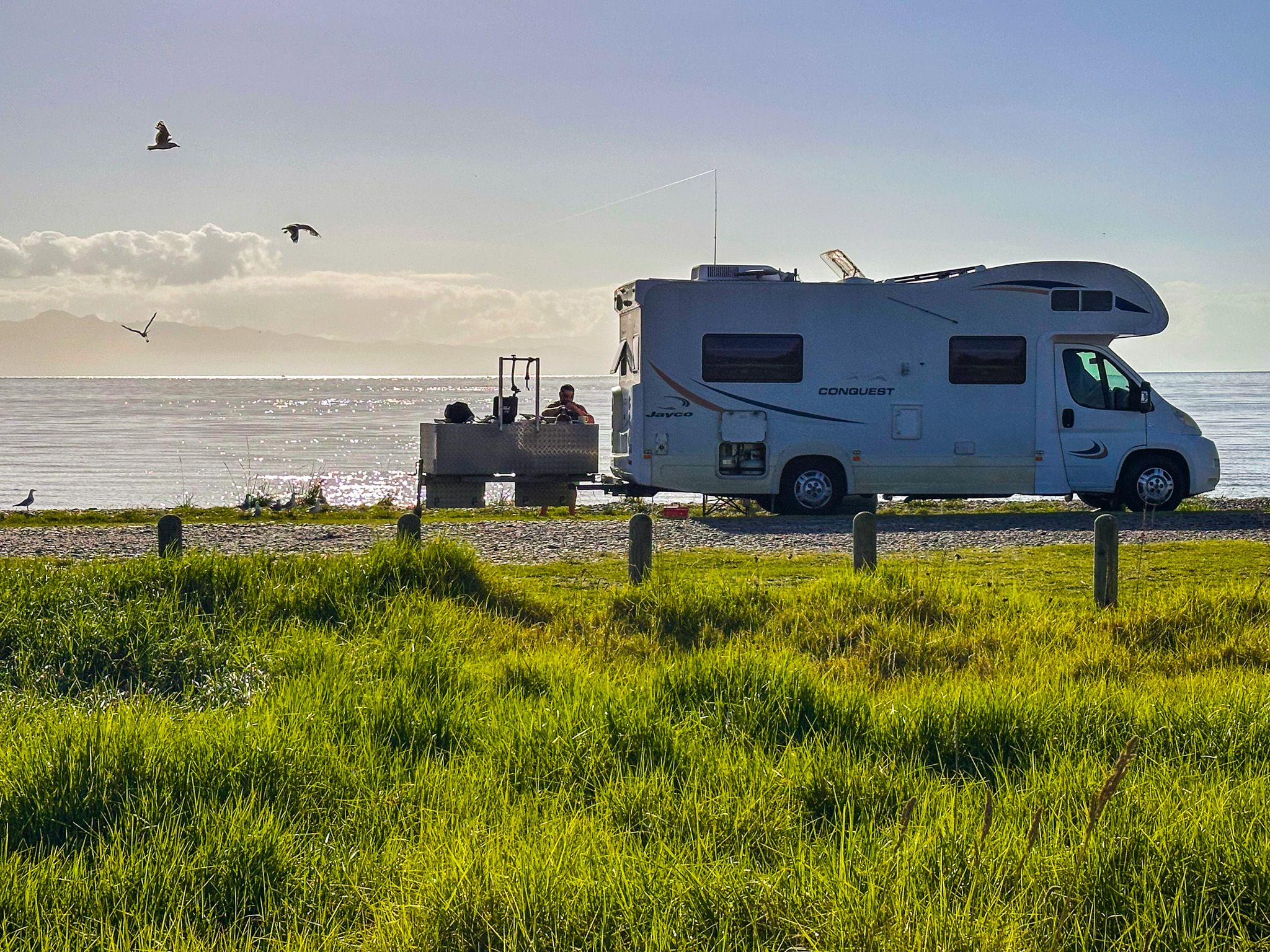
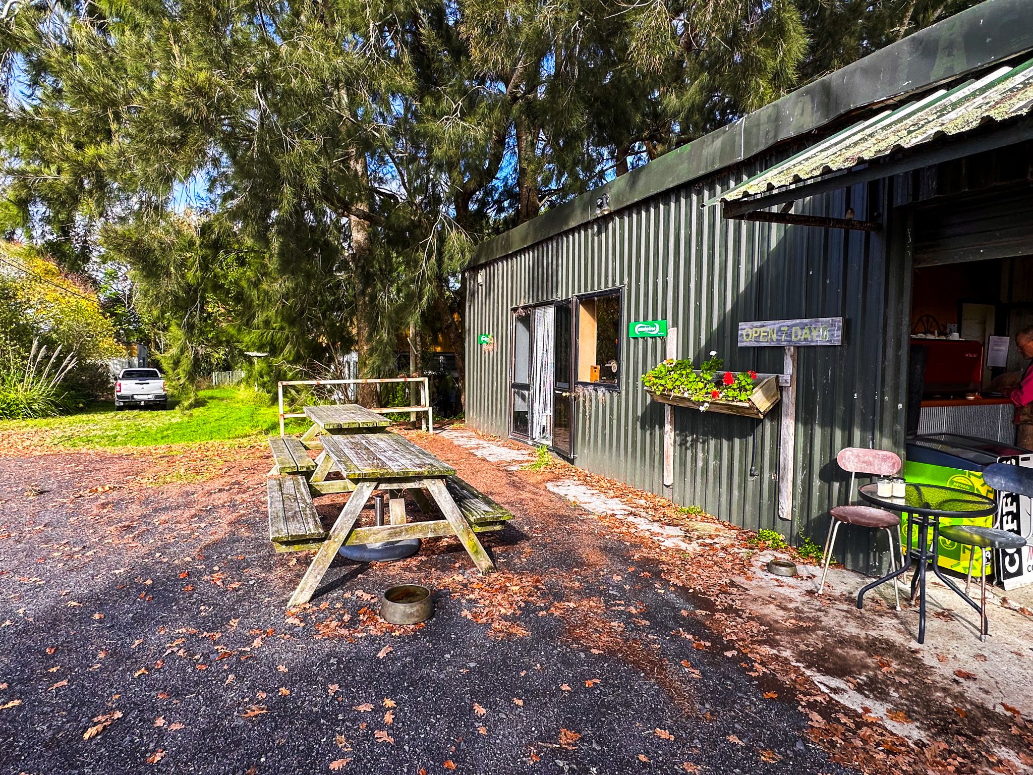
The freedom camping area just north of the village, right next to the beach, is popular with campervans. You will find people fishing next to their campervans at high tide! The village has a small cluster of services, including the well-known Kaiaua Fisheries - a beloved fish-and-chip shop, the Bayview Hotel, the Pink Shop (a cafe) and the only petrol station on this part of the coast. There is also an NZMCA camping area next to the stream.
HMNZS Hinau Wreck
Slightly north of the village on East Coast Road, accessible along the foreshore, lies the wreck of HMNZS Hinau, a Royal New Zealand Navy minesweeper from the Second World War. The wreck sits on the foreshore within the grounds of a private boat club, but it is visible from the road.
Cycle Trails
Kaiaua is the northern trailhead of the Hauraki Rail Trail, a Great Ride of the New Zealand Cycle Trail network. The southern section of the trail follows the western shore of the Firth of Thames from Kaiaua, passing over chenier shell banks, through wetlands and past the Pūkorokoro / Miranda Shorebird Centre on the way to the Hauraki Plain.
Kaiaua is also one end of the Hunua Traverse, a 44.5 km route that mostly follows gated gravel work roads across the Hunua Ranges to Clevedon.
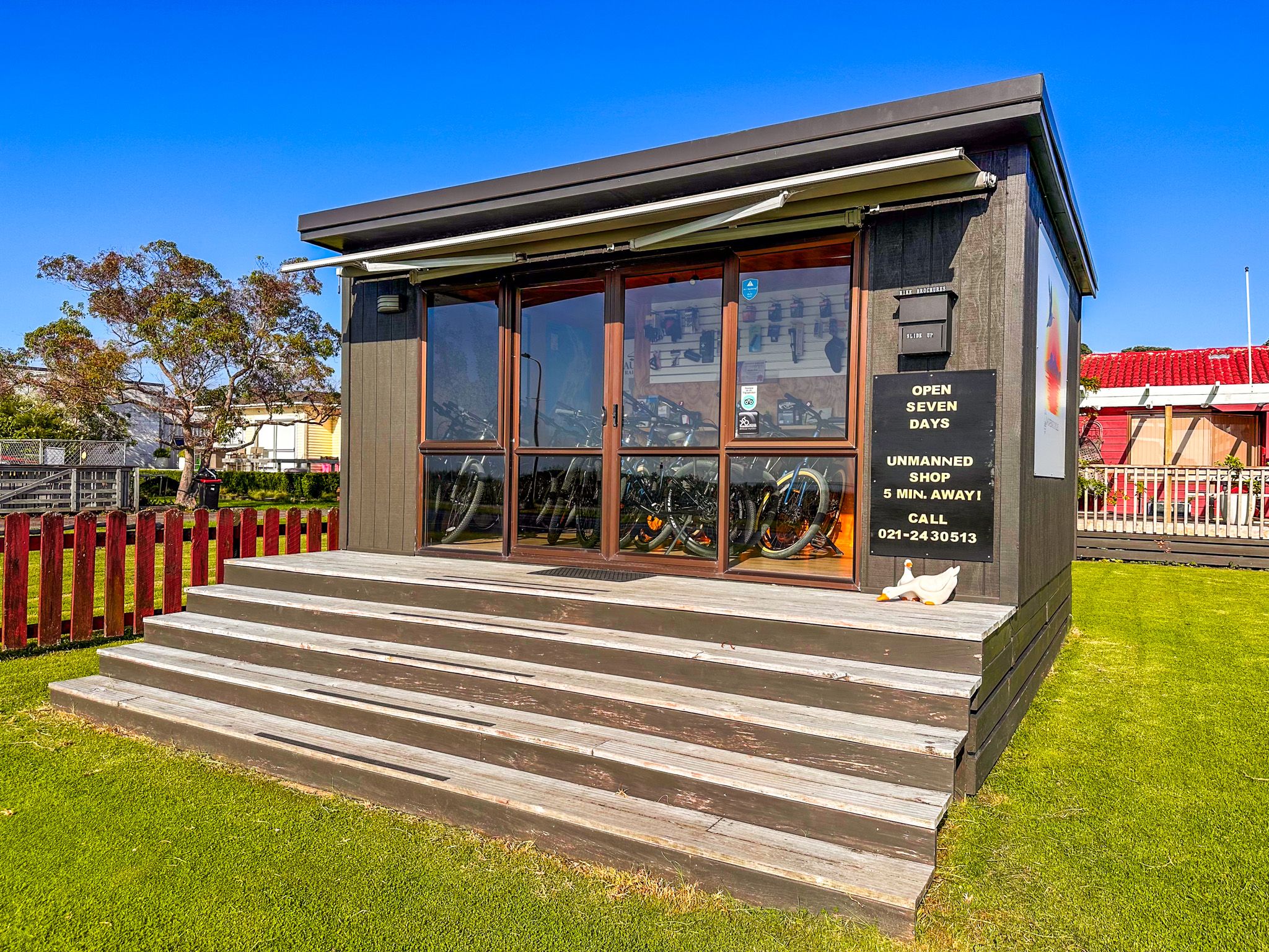
You can rent a bike from a small shop near the start of the trail.
How to Get There
From Auckland, the most direct route heads south on the southern motorway, turning east onto State Highway 2 once over the Bombay Hills. From there, take Mangatawhiri Road, which becomes Mangatāngi Road to Kaiaua Road. The drive takes around 65 minutes and is 84 km. Kaiaua is also reached via the scenic route from Clevedon, via Kawakawa Bay and the Pacific Coast Highway.
Nearby places to visit include the Robert Findlay Wildlife Reserve to the south, Mangatangi Reservoir in the nearby Hunua Ranges and Waharau Regional Park to the north on East Coast Road (Pacific Coast Highway).