A Firth of Thames Auckland Regional Park
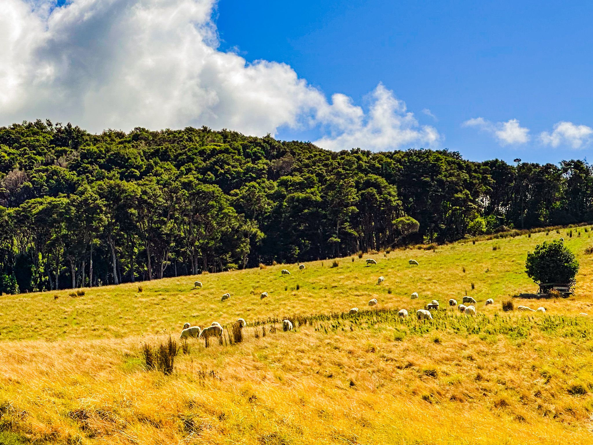
Waharau Regional Park lies just south of the border between Auckland and North Waikato, on the eastern foothills of the Hunua Ranges. The park lies in a mix of forested and farmed hills and includes a section of gravel beach coast on the Firth of Thames. For visitors driving the East Coast Road, part of the Pacific Coast Highway, Waharau is the last substantial park before the Firth's character changes to the flat, tidal wetland landscape around Kaiaua and Miranda. Managed by Auckland City despite its location in the Waikato, it adjoins the much larger Hunua Ranges Regional Park to the west and connects to tramping tracks that climb well into the ranges.
History and the Name
The area has been occupied by Māori since their arrival. The southern edge of the park includes Waihihi Bay, a significant cultural site, recorded as a landing place of the Tainui waka around 1400 during the migration from Hawaiki. Waharau was historically known for its paper mulberry (aute) and karaka groves, and the Ngāti Puku hapū of Ngāti Whanaunga have occupied the area since the 1600s. The park's name, Waharau, means “the ever-changing stream mouth” in Māori, a reference to the Waharau Stream that flows from the eastern Hunua Ranges through the park and out into the Firth.
From the 1860s, European settlers logged kauri and beech from the surrounding hills, and the area was subsequently purchased by Auckland City between 1970 and 1973 to protect the eastern water catchment of the Hunua Ranges.
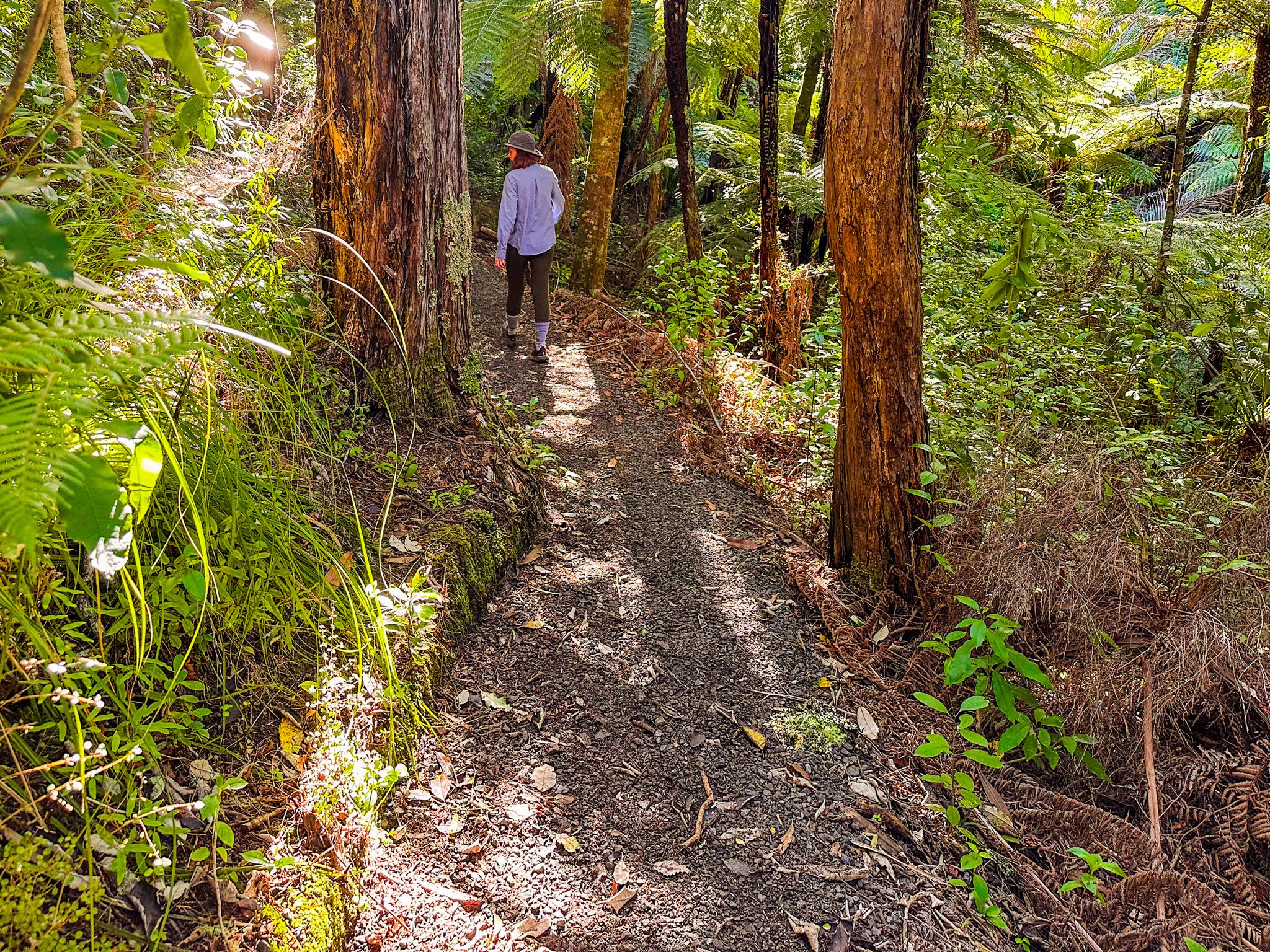
Walking Tracks
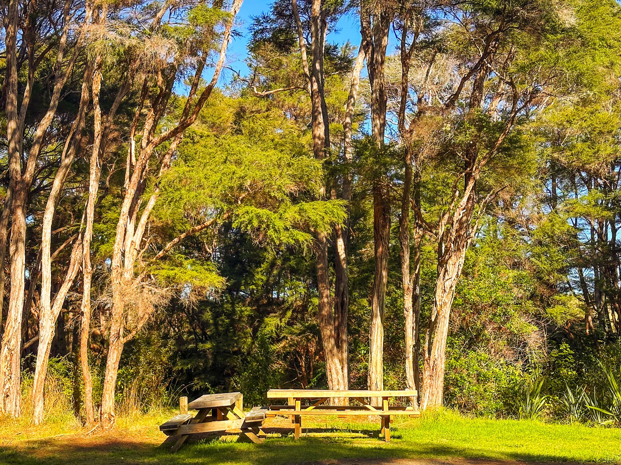
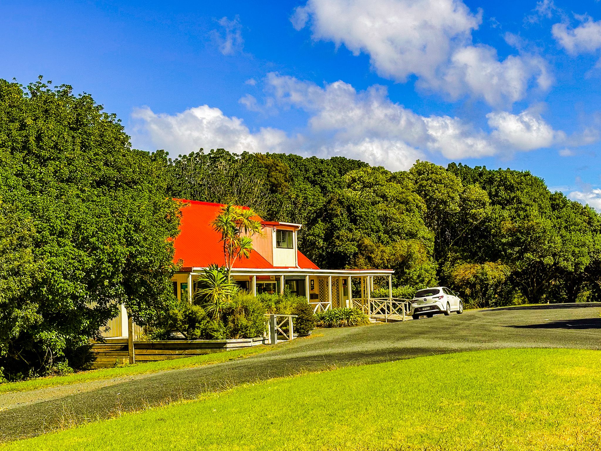
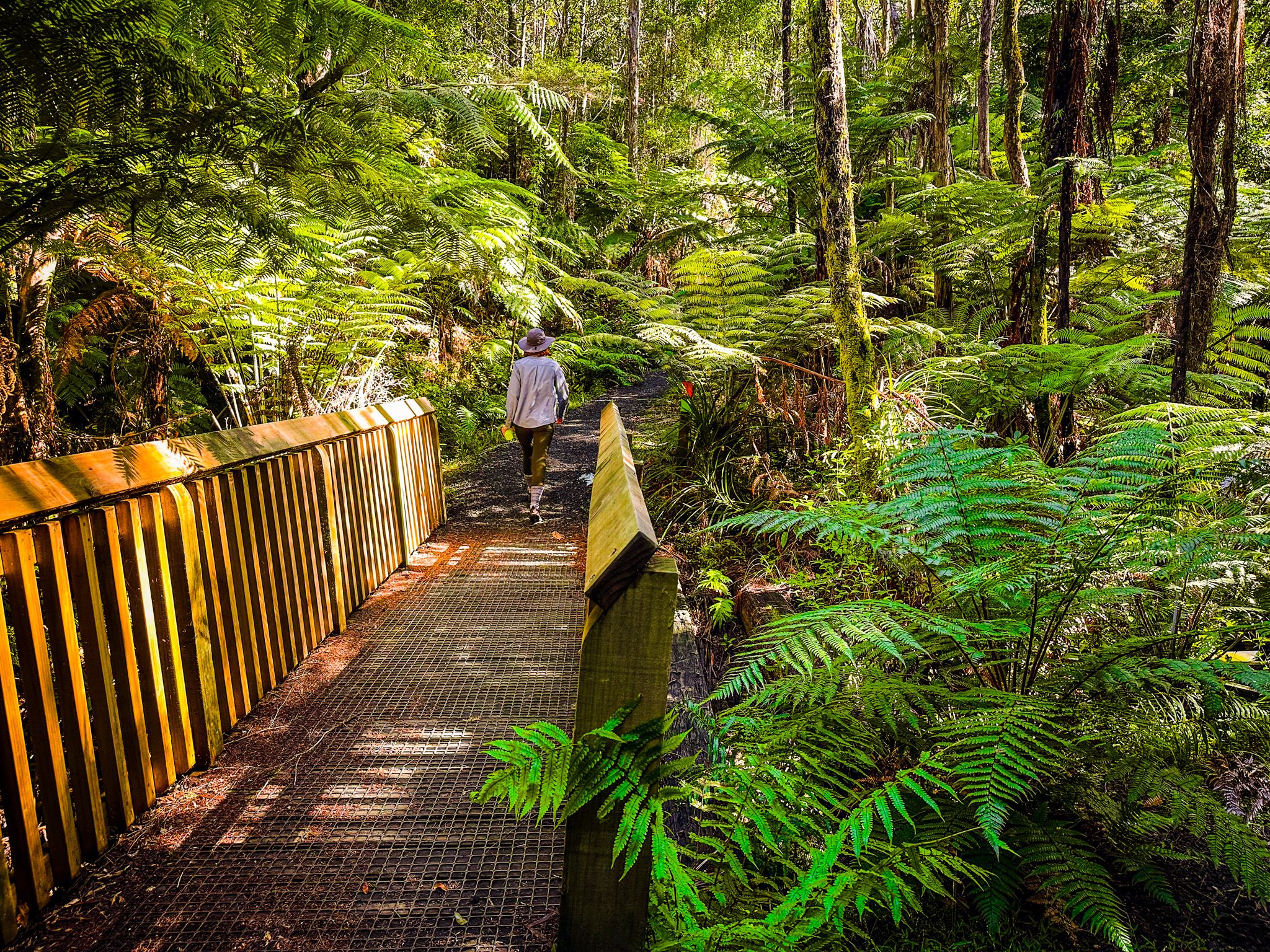
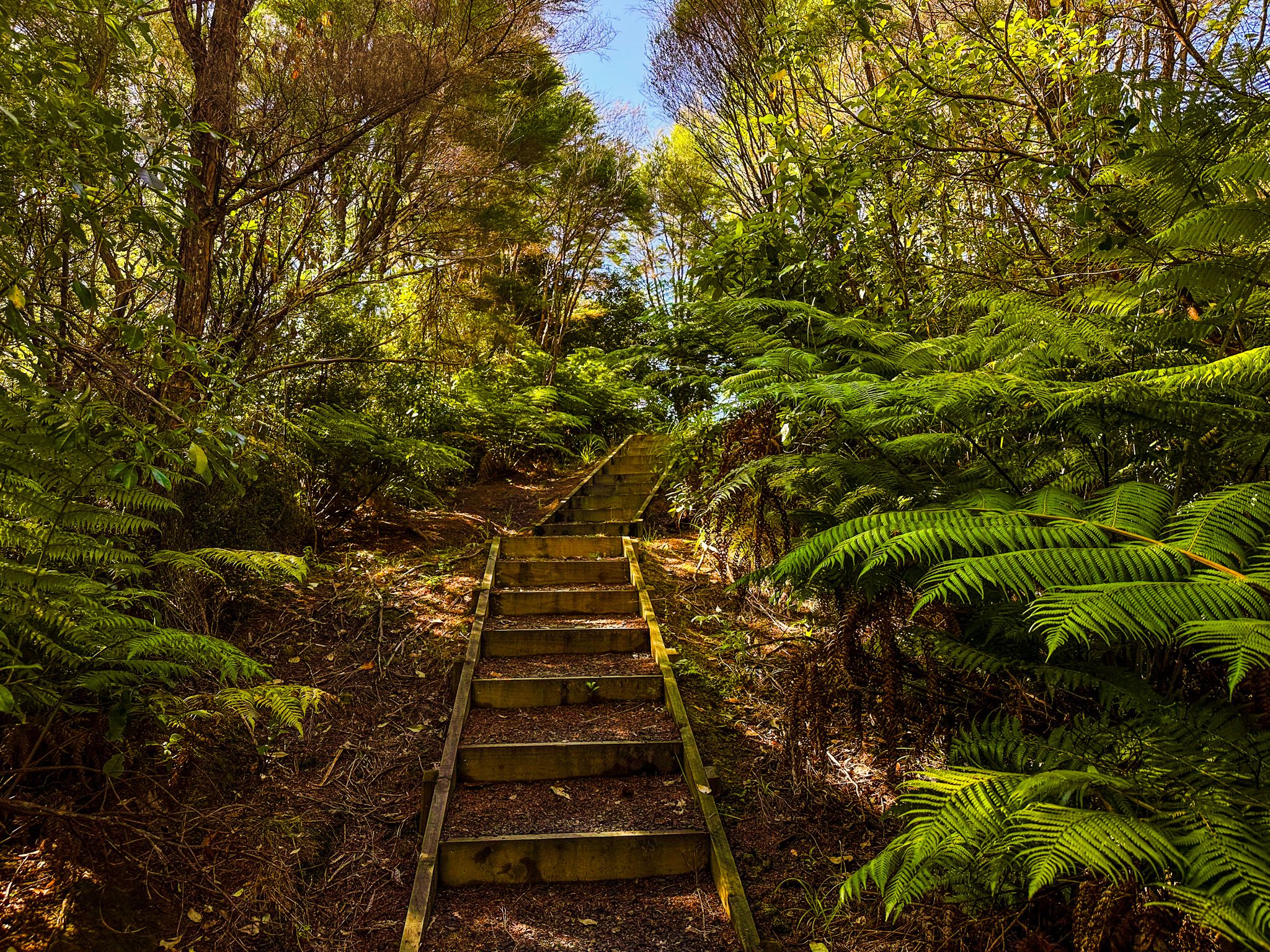
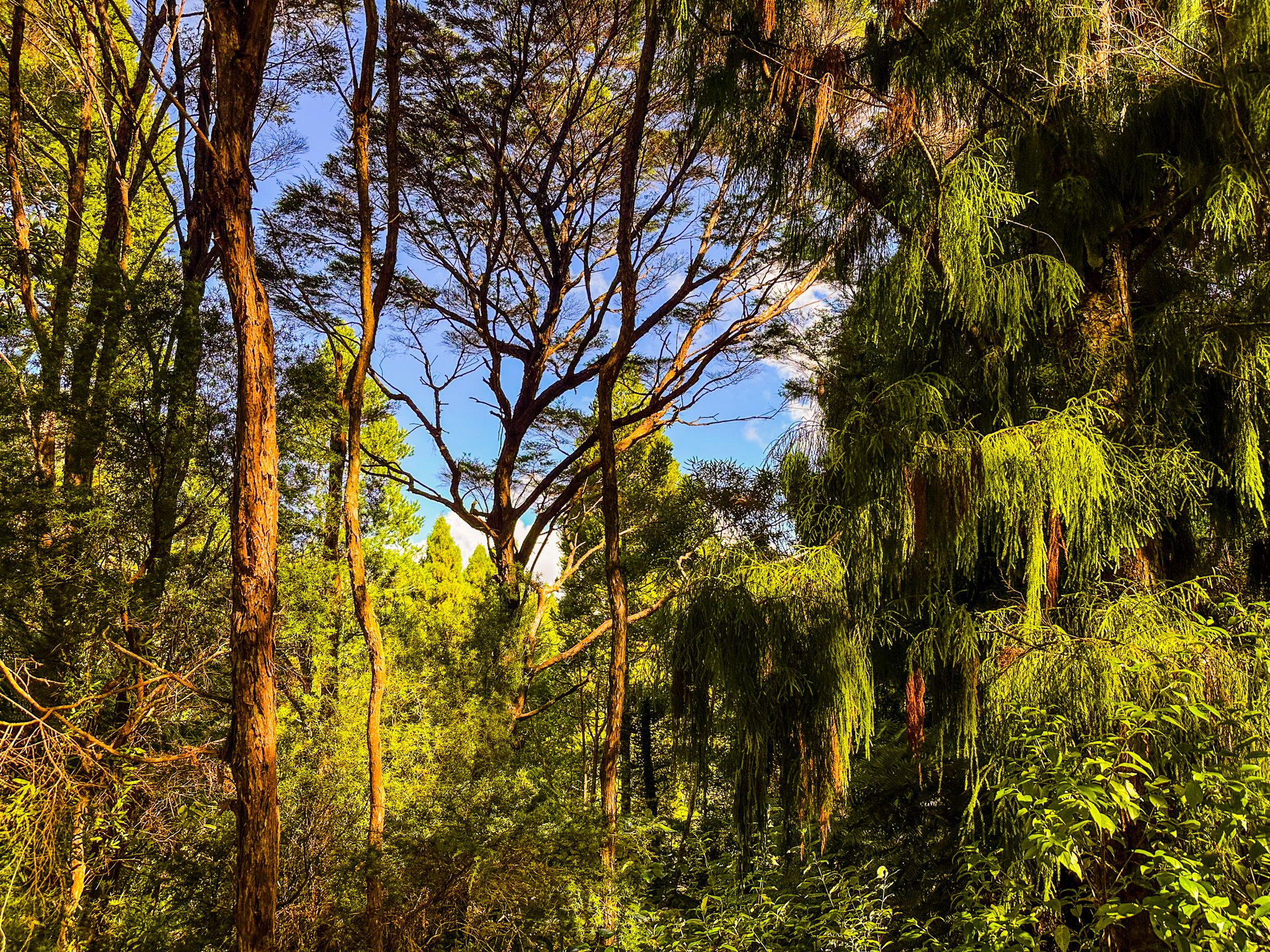
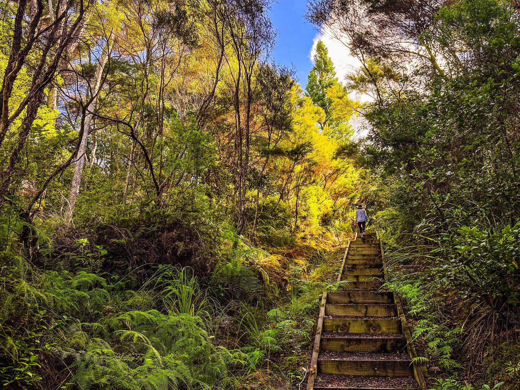
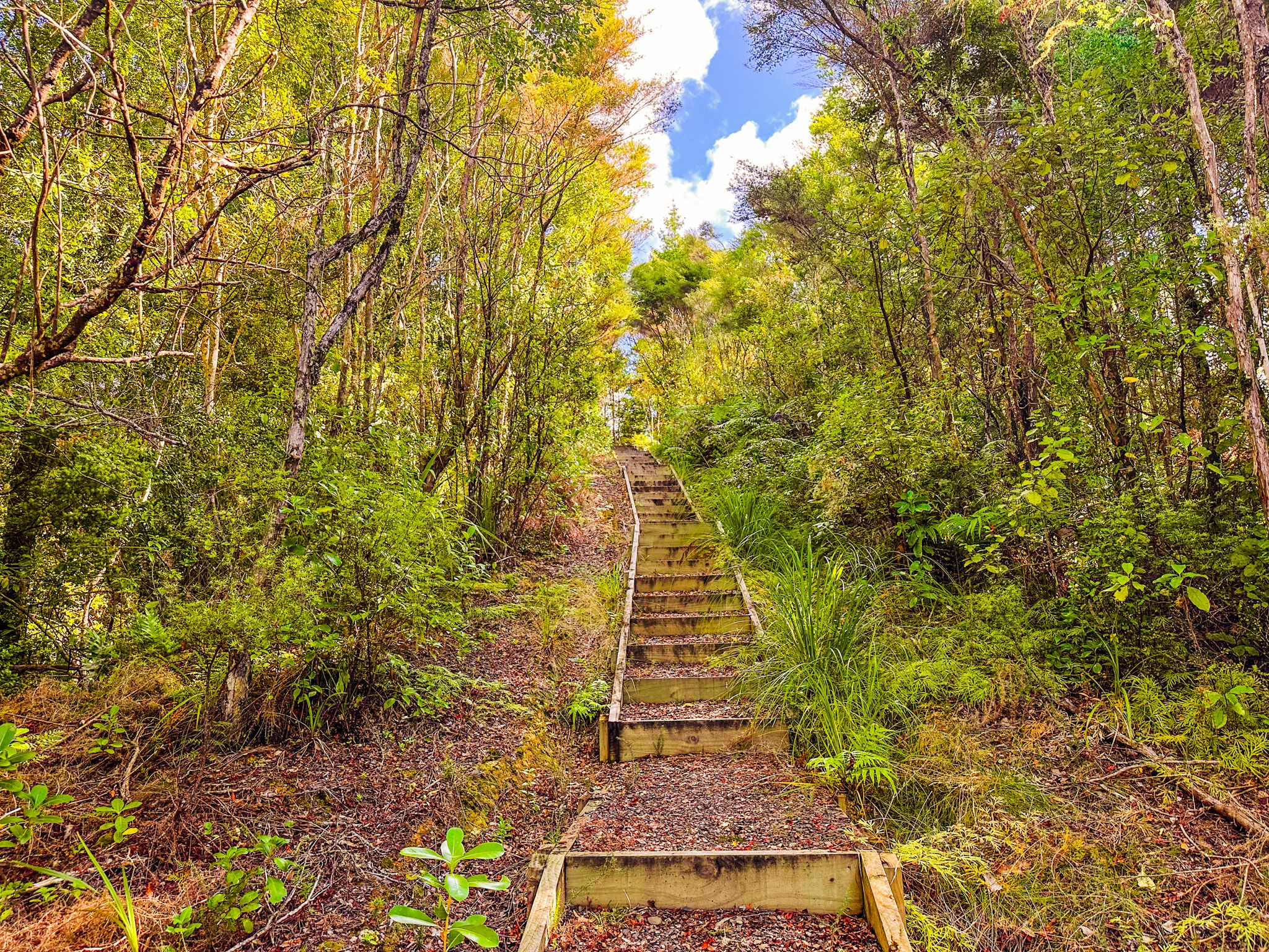
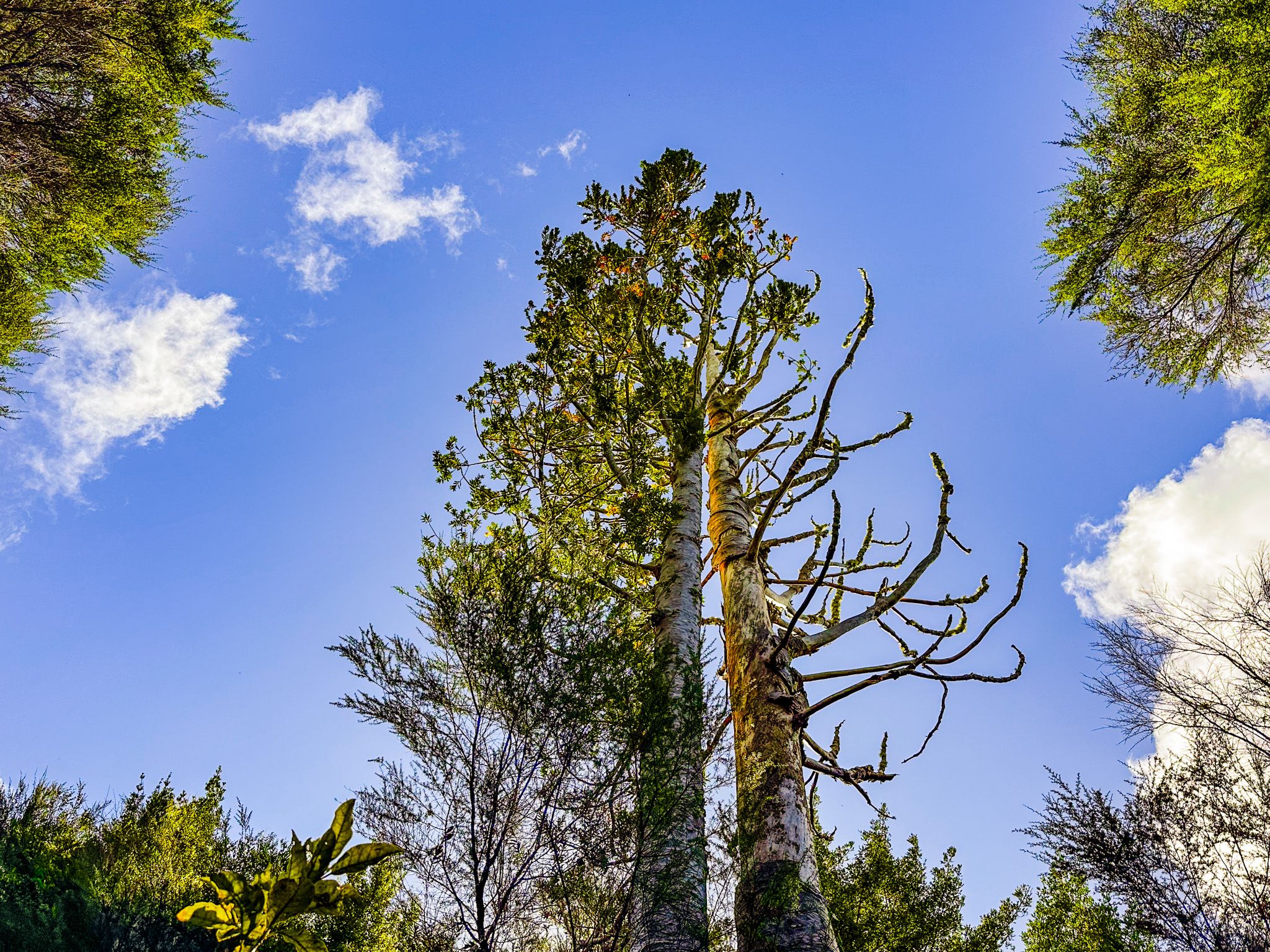
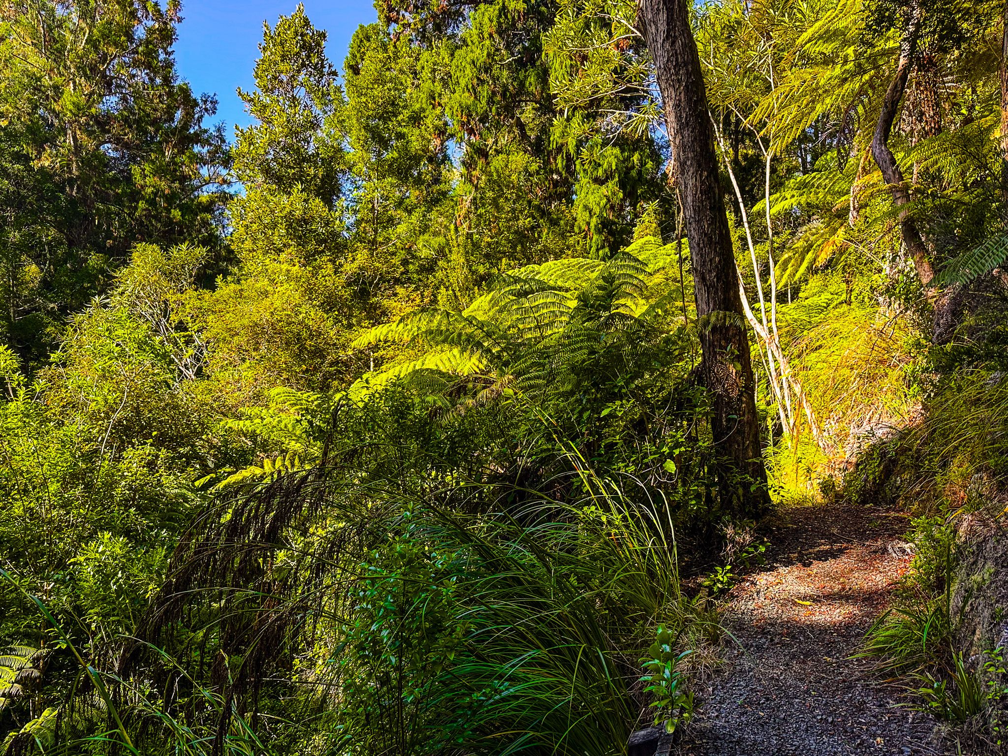
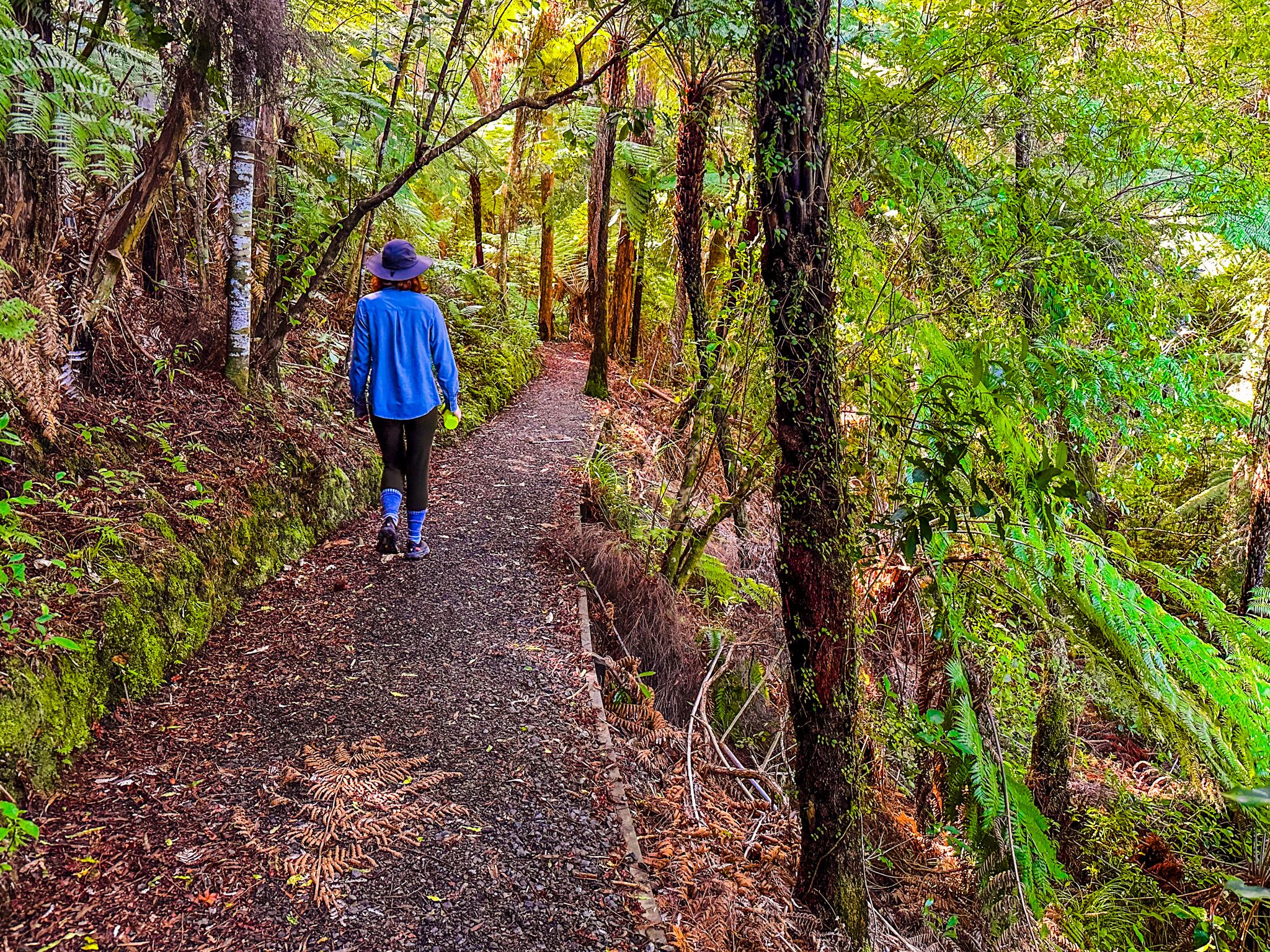
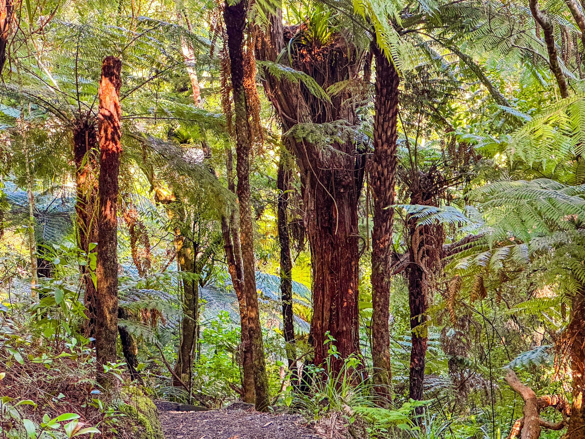
The Waharau Bush Track is the most accessible walk in the park, a gentle 2.4 km loop path through regenerating native forest and tree ferns, taking around 45 minutes and suitable for most walkers. The track follows green markers from the information building, crosses small streams, an dincludes signs that identify native trees. It is a good introduction to the historically forested character of the Hunua foothills. From the main car park, there is also the short Puriri Track, which runs through a pūriri grove to the Waihīhī Stream.
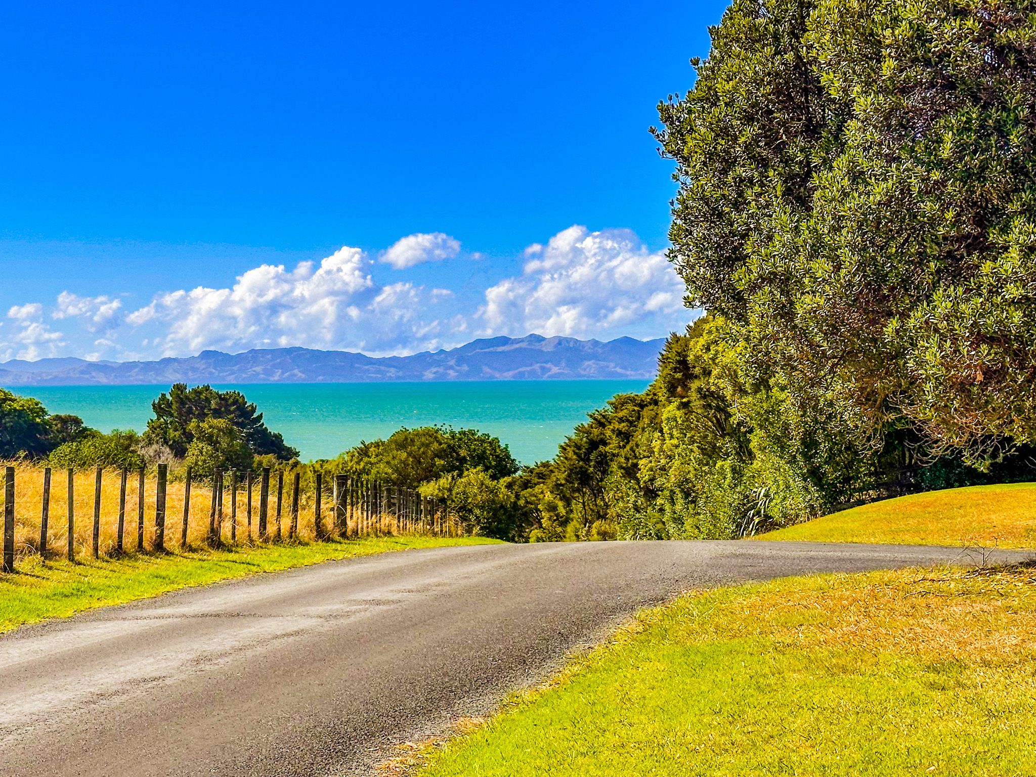
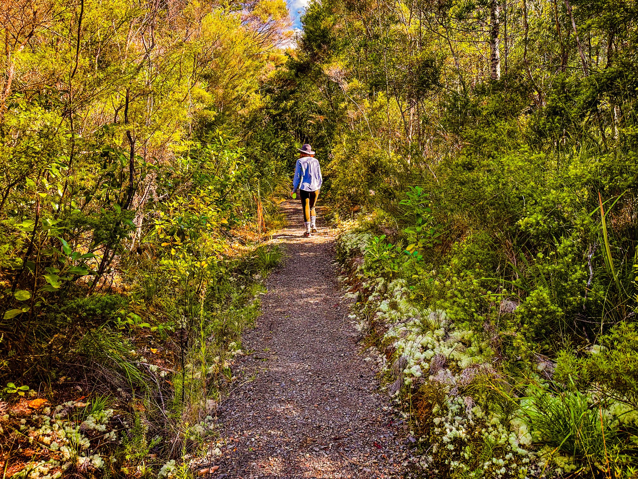
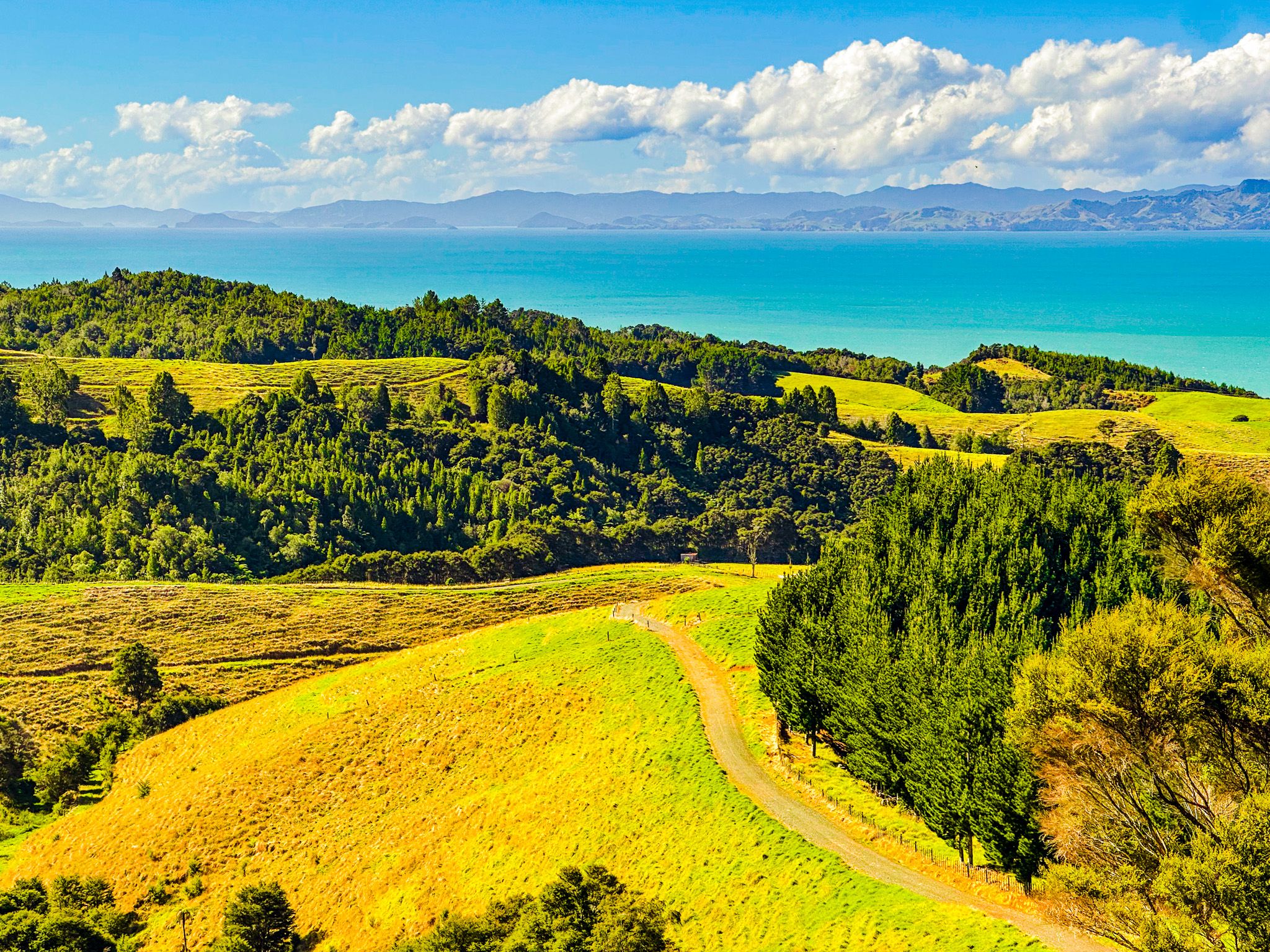
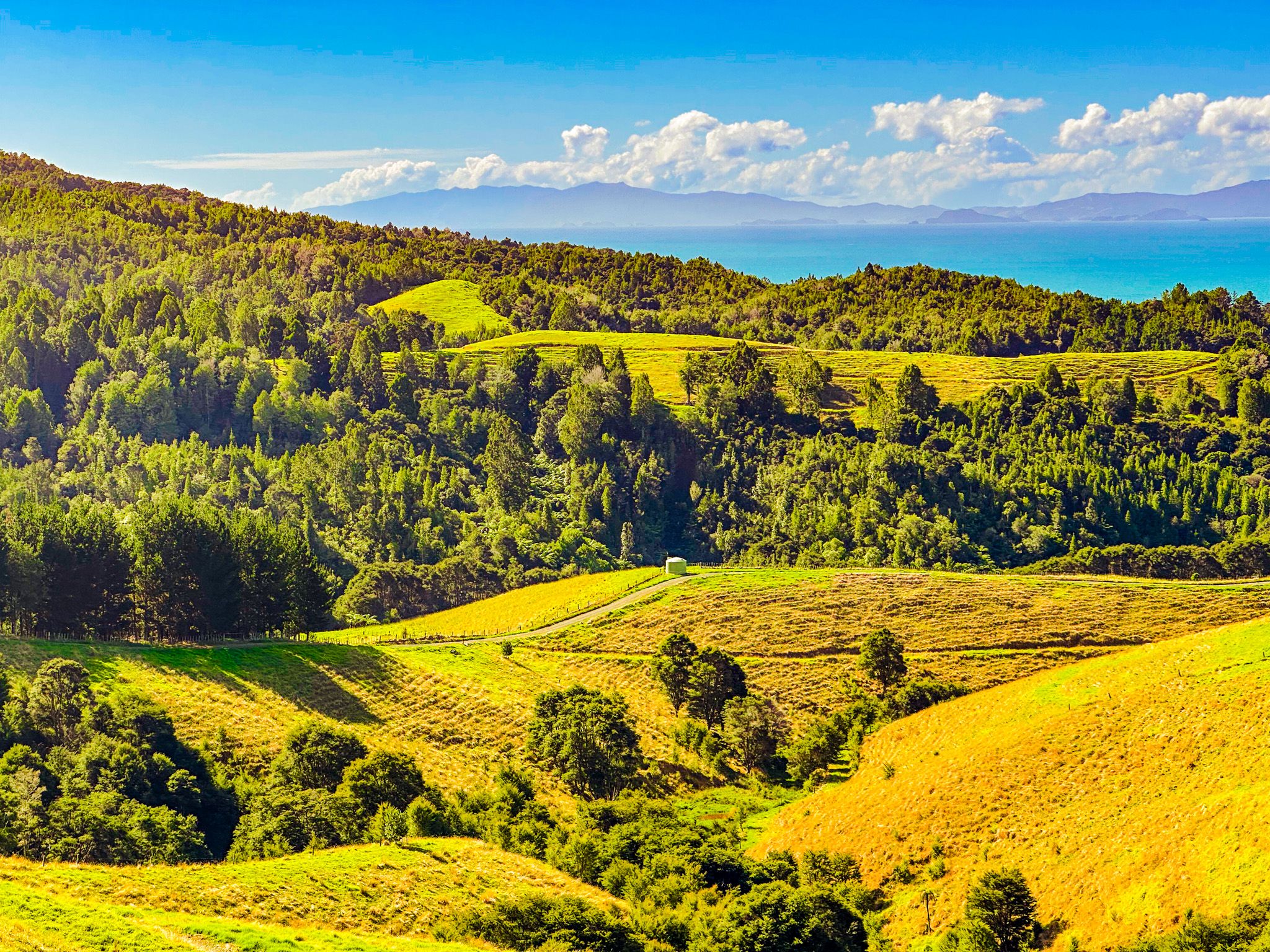
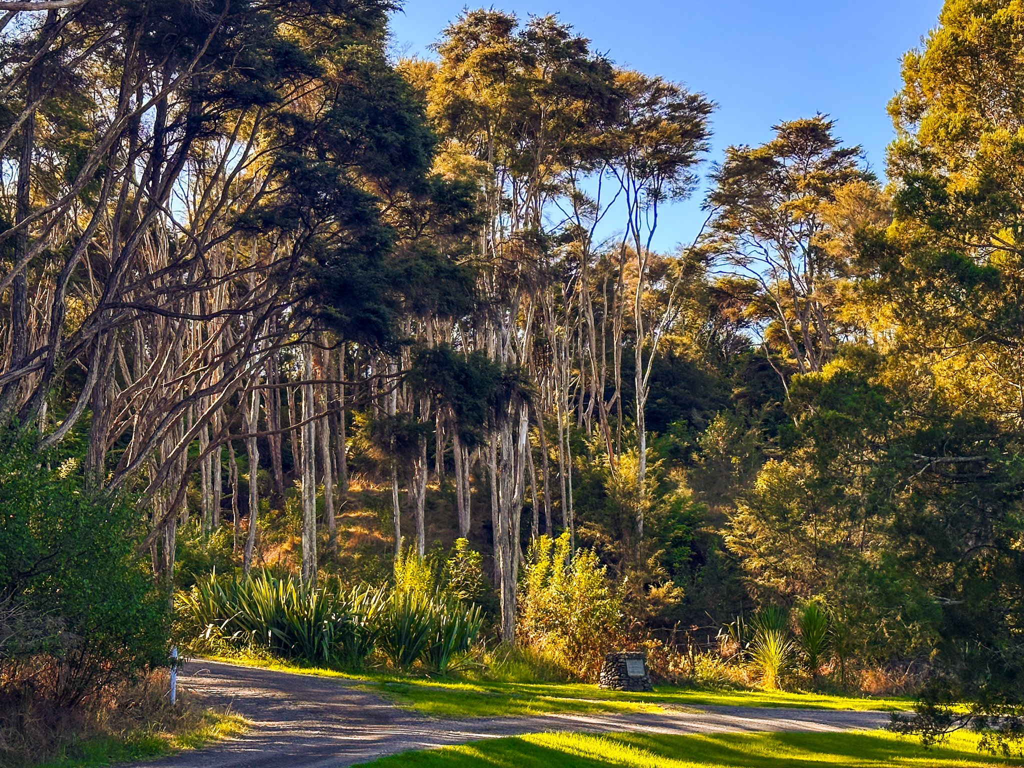
For those wanting more, the Waharau Ridge Track is an 11 km loop route that rises about 180 metres, to connect with the Wharau Ridge. It then follows the ridge before heading back down to the car park. You can hike or bike this track, with outstanding views over the Firth of Thames to the Coromandel along the way. Most of the track is in lower, early-stage regenerating forest, with some open grassy pockets. Check the track status at the visitor centre. This track also provided access to tramping tracks across the Hunua Ranges, but these are closed due to kauri dieback disease.
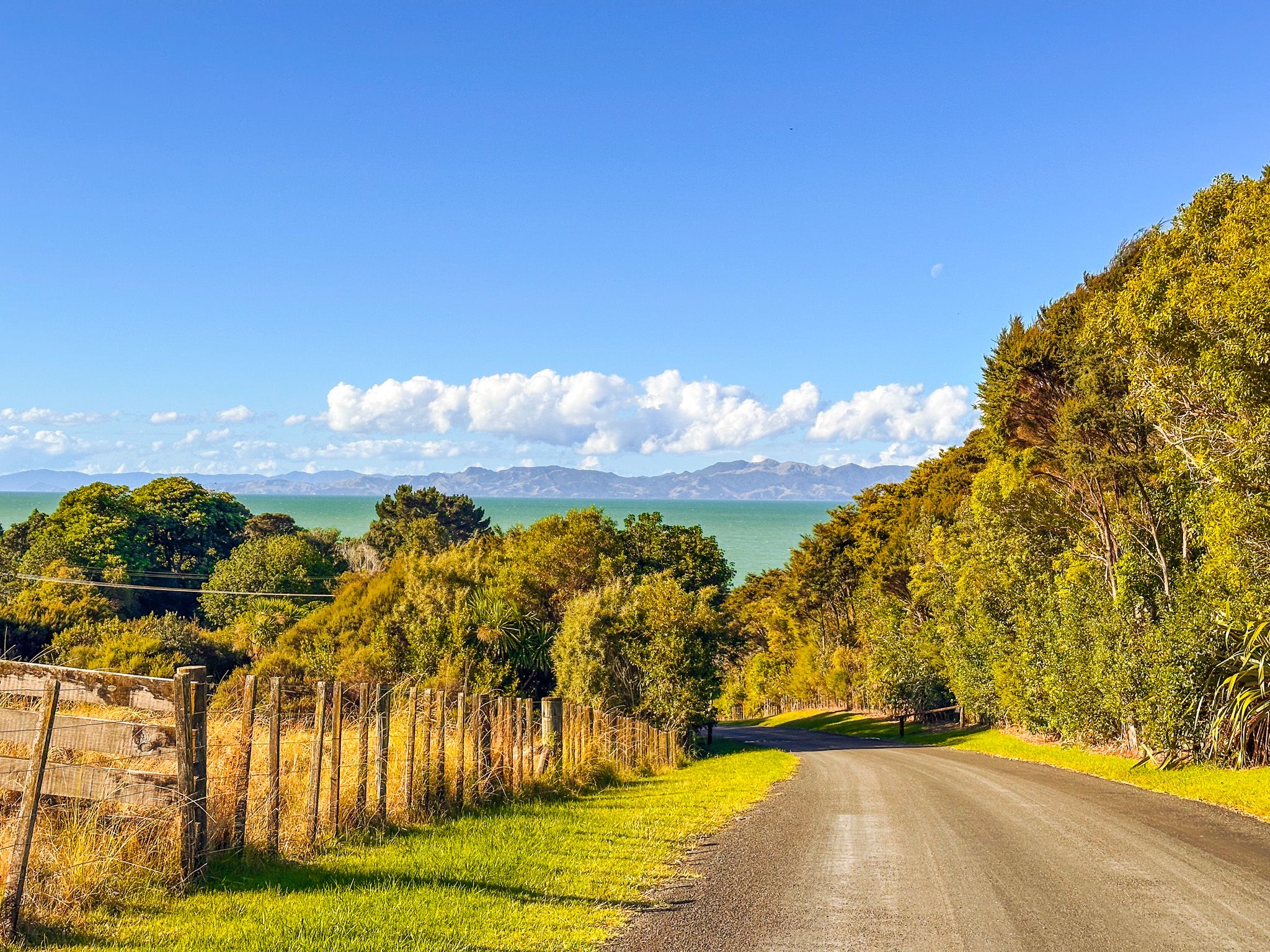
The Coast and Beach
The park's coastal area extends from the mouth of the Waharau Stream in the north to Waihihi Bay in the south, and is accessed from East Coast Road, about 50 metres south of the main park access. The shoreline here is mainly gravel, characteristic of the Firth coast. The park's grass reserve and beach include toilets, picnic areas, and barbecues.
An unusual feature is a Ngāti Whanaunga urupā (burial ground) at the north end of the reserve. This subtribe of Ngāti Puku has been there since the 1600s and still maintains the urupā. It is a square block of fenced forest, marked by a fence and a modest sign.
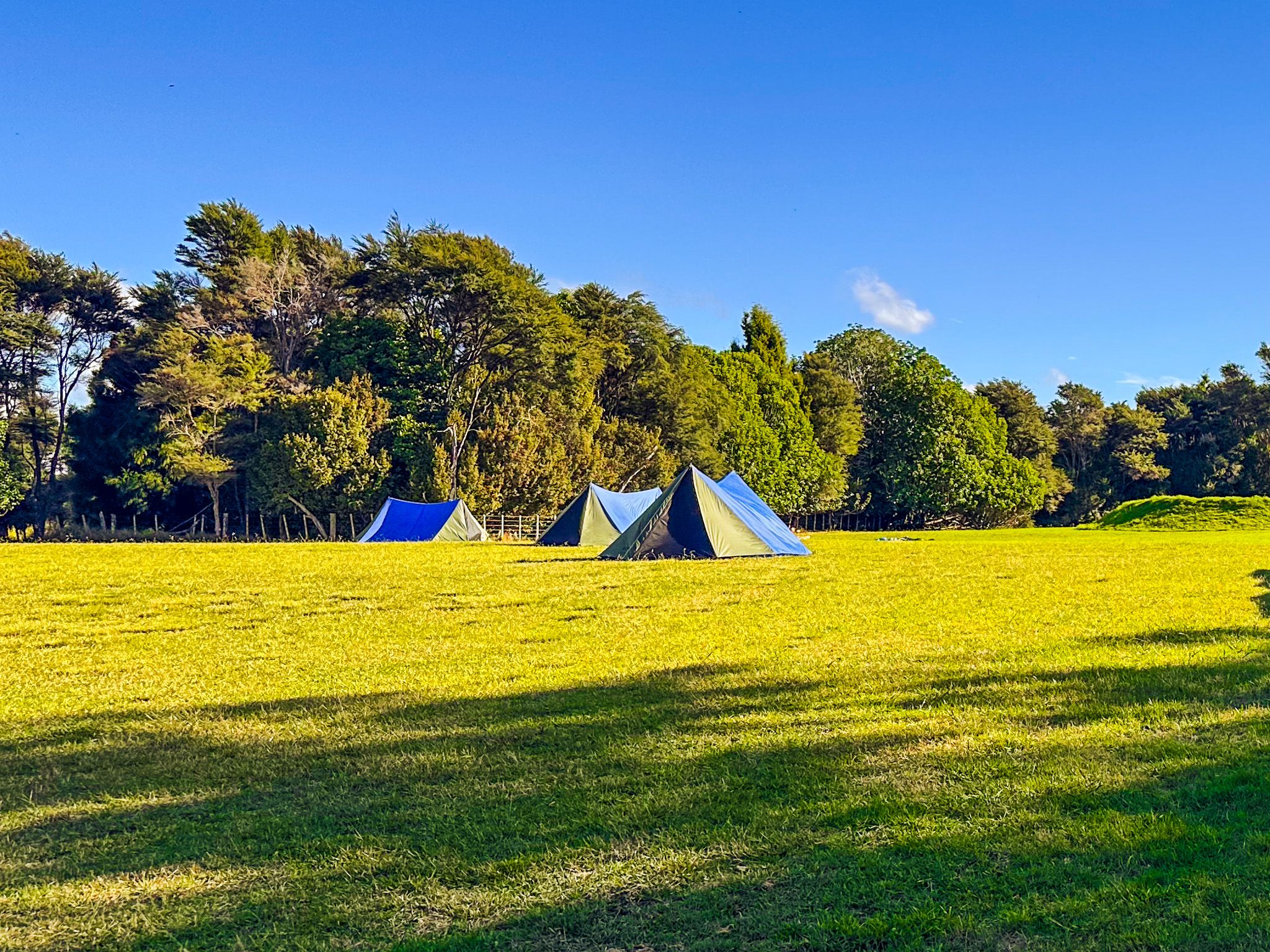
Camping
The park has two camping options: Tainui Campground with sea views north of the visitor centre, and the more secluded Blackberry Flat. For the latter, follow the road past the visitor centre, which loops back to the south. Both are basic sites with toilets and cold showers. Fully enclosed campervans can also stay overnight in the beach reserve car park.
How to Get There
Waharau Regional Park is on East Coast Road, around 9 km north of Kaiaua. From Downtown Auckland, take the southern motorway to State Highway 2, then follow Mangatangi Road and Kaiaua Road east to the coast, turning left onto East Coast Road, then north on East Coast Road at Kaiaua. This takes 1.5 hours and is 93 km. Alternatively, drive the Pacific Coast Highway from Clevedon.
Other nearby places to visit include Pūkorokoro / Miranda and the Robert Findlay Wildlife Reserve to the south, Ōrere Point, Tāpapakanga Regional Park, Tawhitokino Beach, Waitawa Regional Park and Clevedon Scenic Reserve.