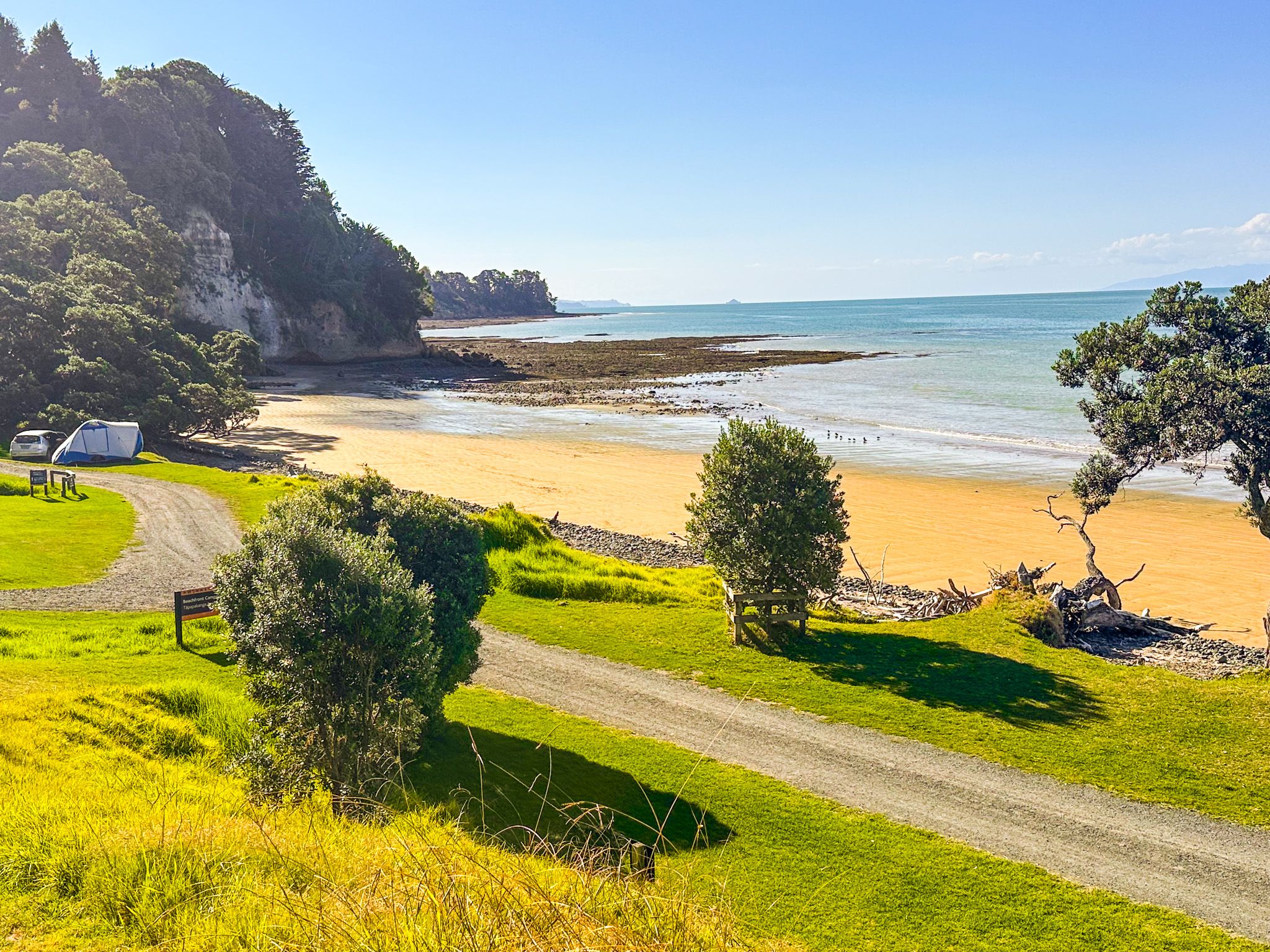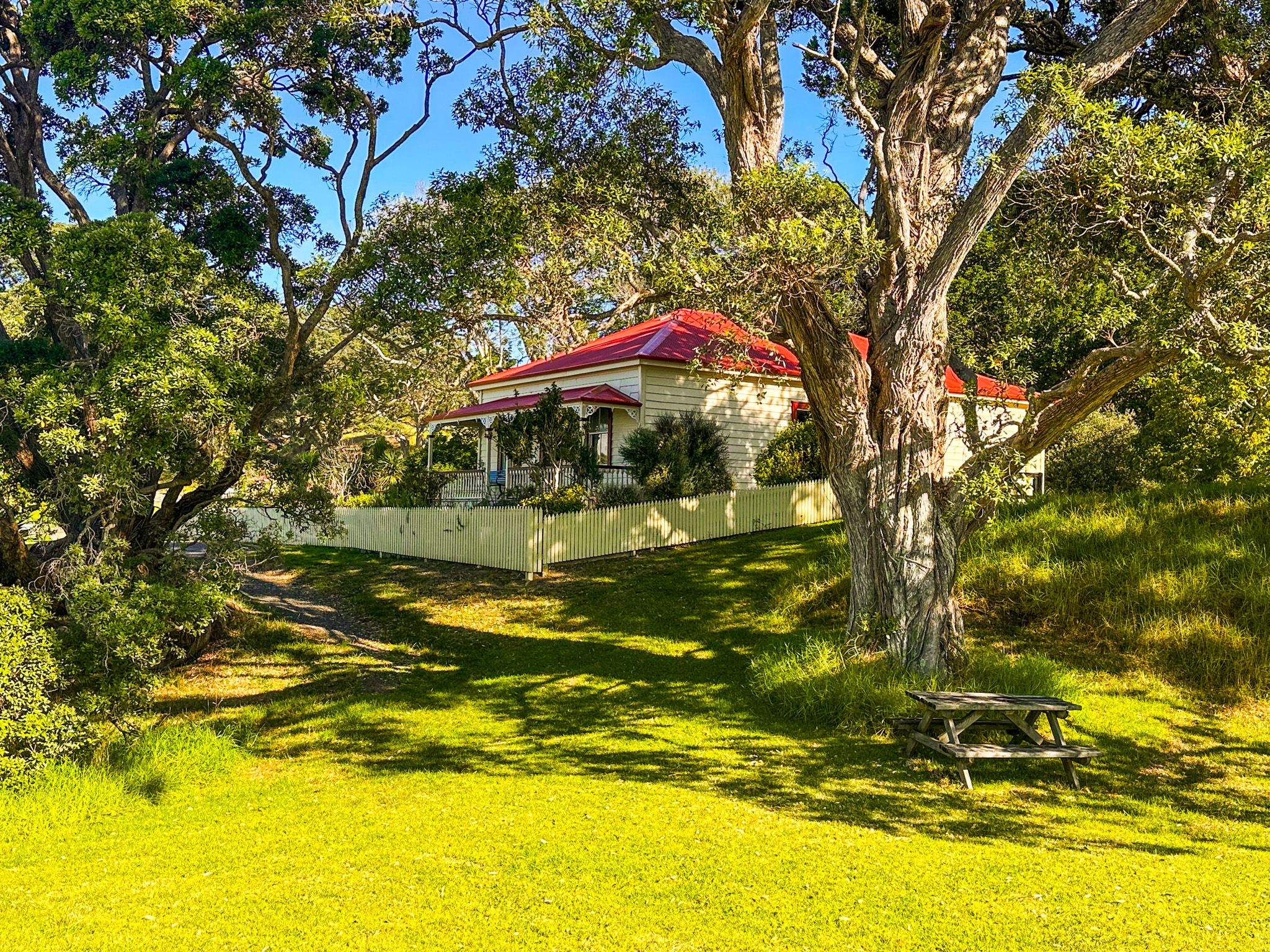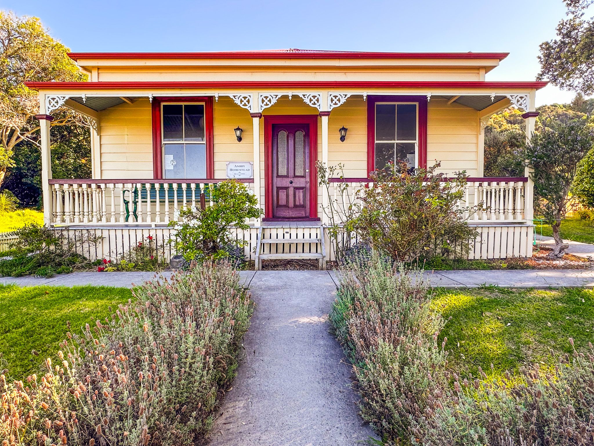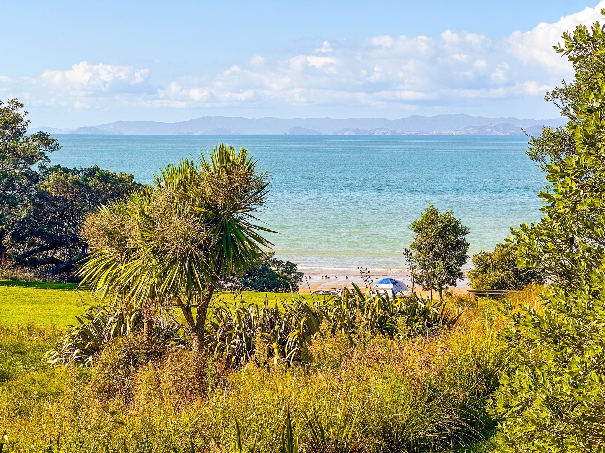
Historic Homestead at Tāpapakanga Regional Park
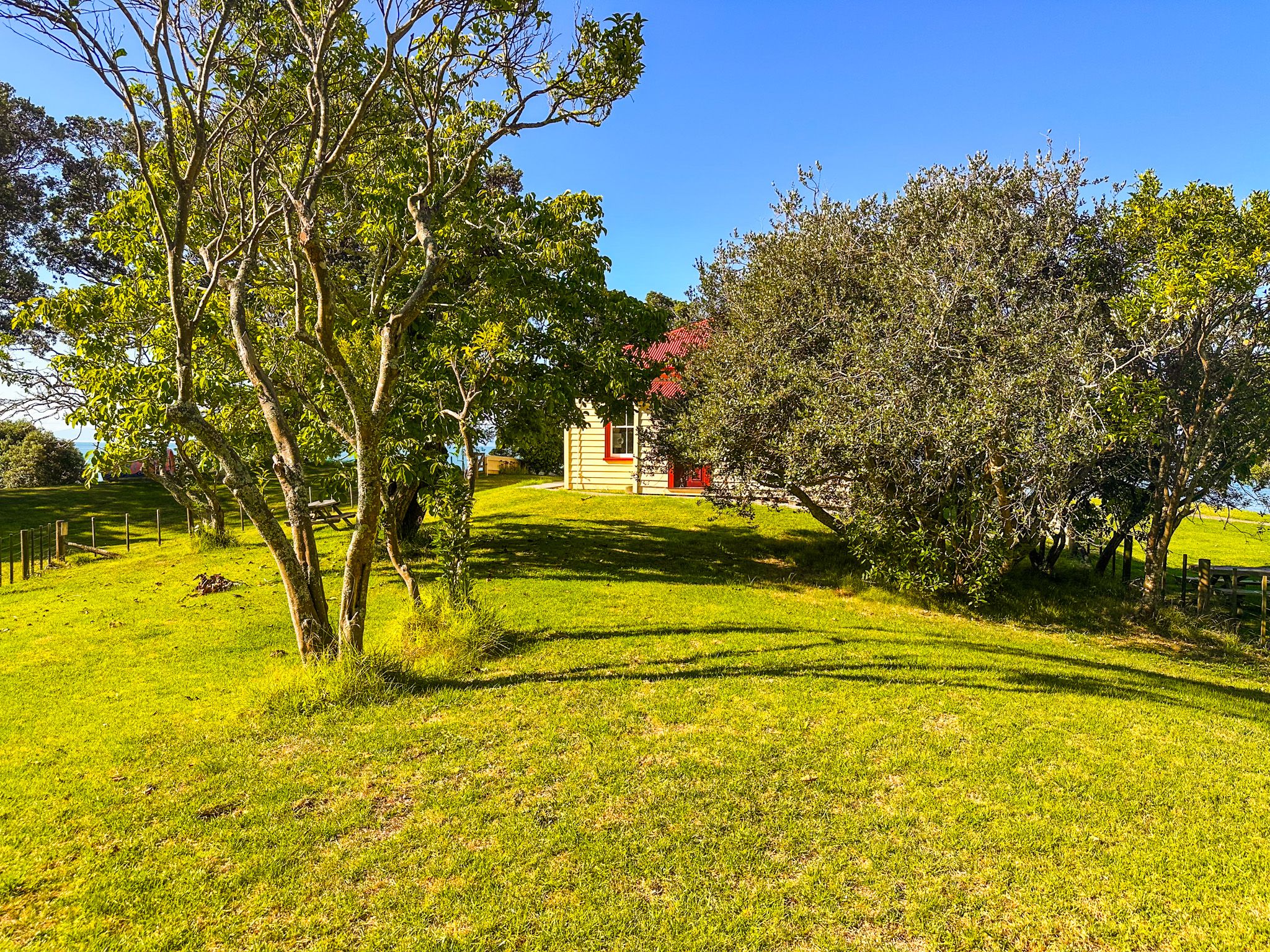
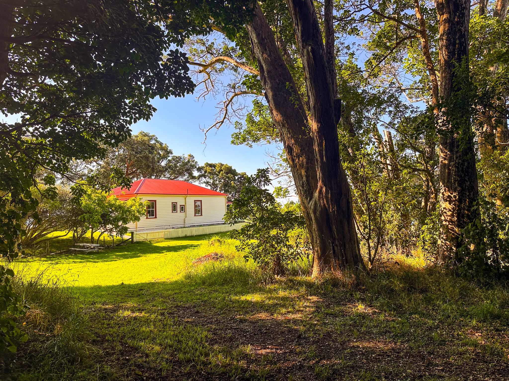
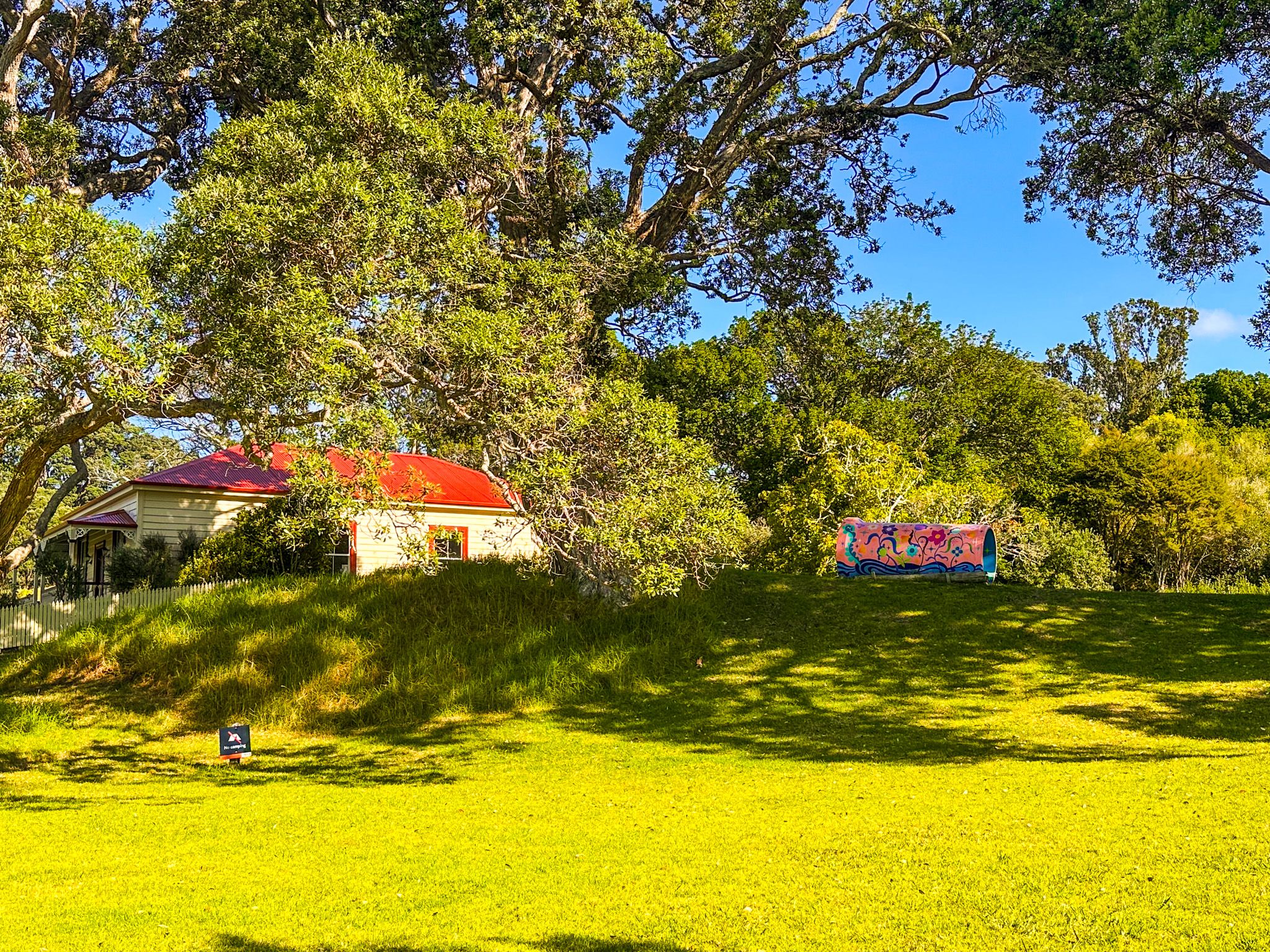
The Ashby Homestead is a heritage building at Tāpapakanga Regional Park, a coastal farm park near Ōrere Point on the Firth of Thames, in southeast Auckland. The homestead sits above the beach on a rise, surrounded by mature trees, and is a short walk from the main car park. It is also on the Historic Loop Track, the shortest of the park's walking routes.
James and Rebecca Ashby
In 1899, James and Rebecca Ashby purchased 737 acres at what was then a remote stretch of the southeast Auckland coast, paying around seven pounds and six pence per acre. The following year, they built a four-bedroom kauri homestead villa, delivered to the site in kit form by the Matakana steamer. In 1913, the front room of the house was pressed into service as both a post office and a school, a practical response to the location's isolation. By 1916, the family had built a tennis court and installed a telephone line, but electricity did not arrive until 1948! James and Rebecca raised 14 children at the property.
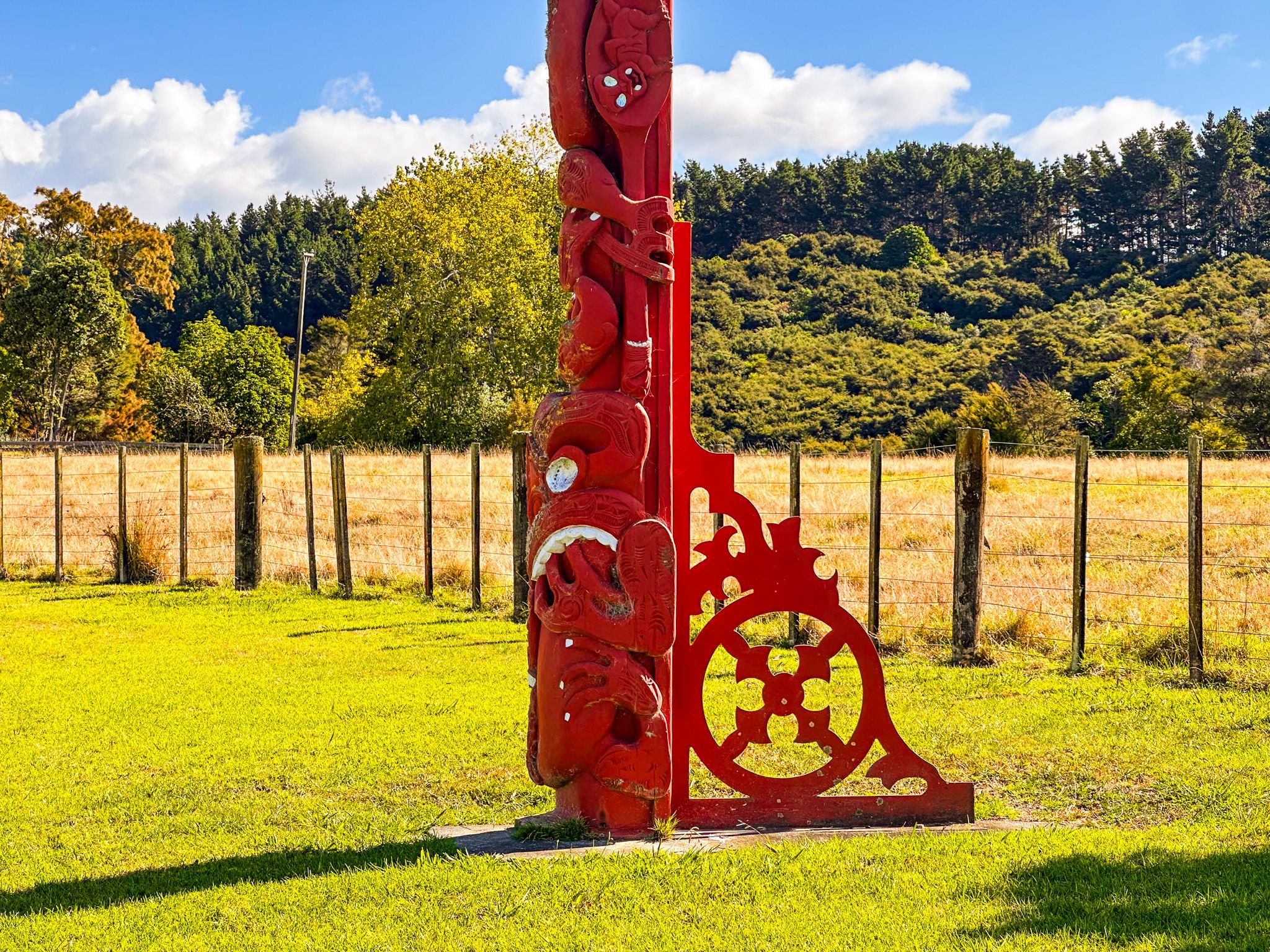
Beyond farming, James Ashby developed a close and lasting friendship with Tukumana Te Taniwha, a chief of Ngāti Whanaunga, whose people had long occupied the fertile coastal land and its productive fishing grounds. That relationship between the Ashby family and local iwi is acknowledged in the park today: two pou stand within the reserve, one of which carries a carving of James Ashby.
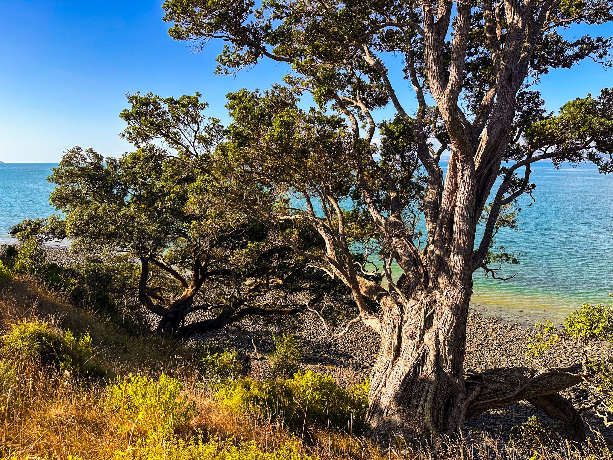
The Historic Cemetery
The Ashby family cemetery sits on the top of the cliffs towards the southeast end of the park, accessible on the Coast Track. The small cemetery would have had views over the Firth to the Coromandel, but the cliff-edge pōhutukawa trees are now well established and largely block the view. Rebecca Ashby, who died in 1924, is among those buried there along with other members of the extended family. James himself is not buried at the park.
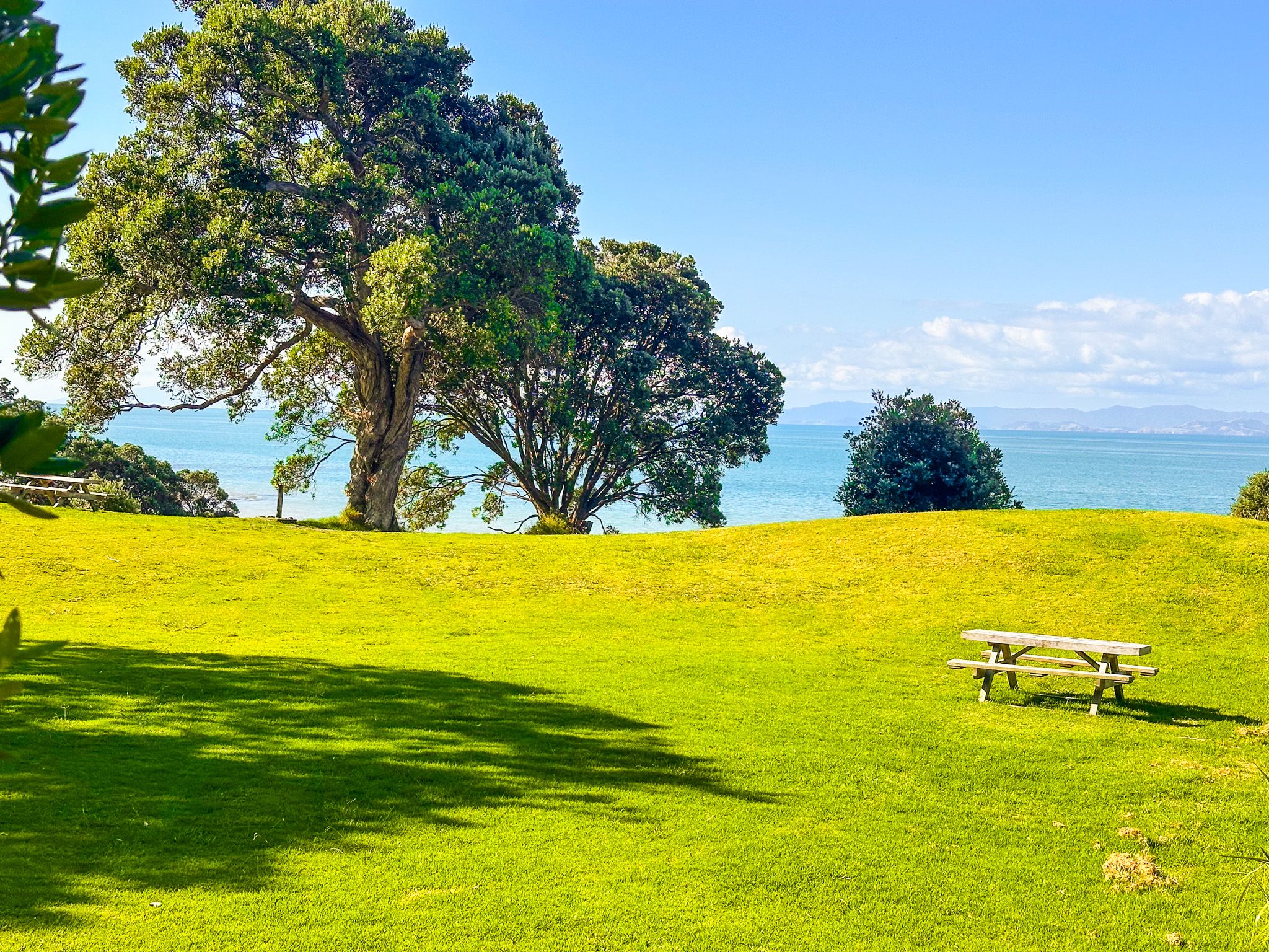
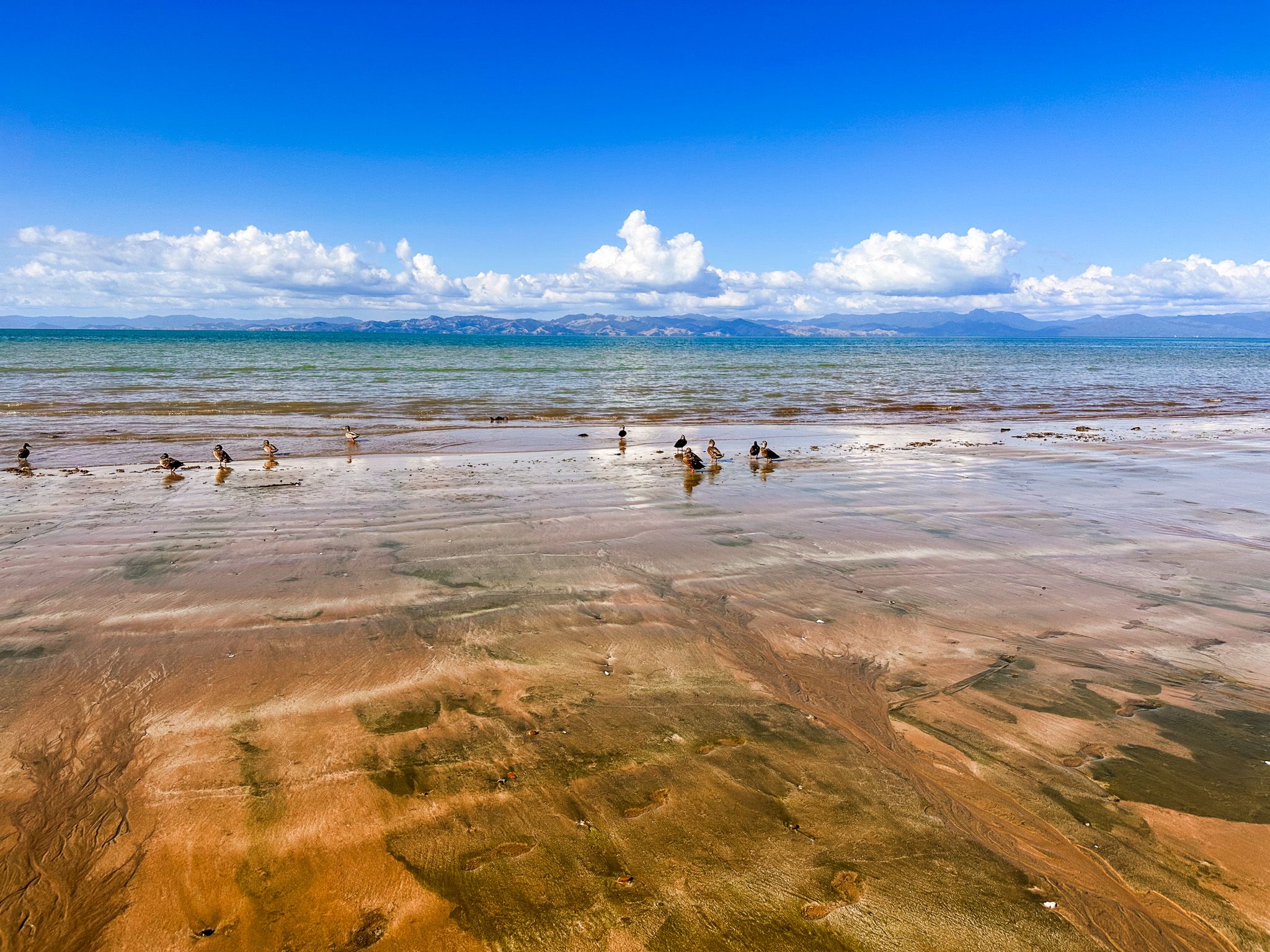
The Historic Loop Track
The Historic Loop Track, which takes in the homestead, is a 1.4-kilometre circuit and takes around 30 minutes. It begins from the main car park and follows a short loop around the homestead and historic areas of Māori habitation before returning along the foreshore. Although easy, the track is not suitable for prams or wheelchairs. It can be combined with the longer Tāpapakanga Coastal Walk and the Farm Walk.
How to Get There
From Downtown Auckland, take the southern motorway south, exit at Hill Road, then head east-northeast via Hill Road, Stratford Road, Alfriston Road, Alfriston-Ardmore Road, Clevedon-Takakani Road, and Clevedon-Papakura Road to Clevedon. From Clevedon, follow the Clevedon-Kawakawa Road east toward Kawakawa Bay, then continue on the Pacific Coast Highway past the turnoff into the park on Deerys Road. There are two large pou that mark the entrance. The drive takes around 80 minutes and is 68 km.
Nearby places to visit include Mātaitai Bay, Waitawa Bay and Pāwhetau Pā, all within Waitawa Regional Park, Kawakawa Bay, Tawhitokino Beach, Ōrere Point and Waharau Regional Park further south along the coast.