Loop Walk with Forest, Farmland and Coastal Cliffs
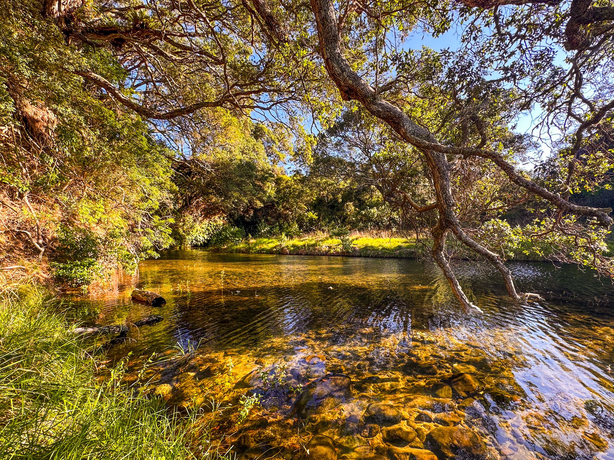
The Tāpapakanga Coastal Walk is the signature walking route at Tāpapakanga Regional Park, a coastal farm park near Ōrere Point on the Firth of Thames in southeast Auckland. The 7.5 km loop takes in the full range of the park's landscapes: coastal farmland, regenerating native forest, the attractive Tāpapakanga Stream valley, clifftop views, and the beach.
The Walk
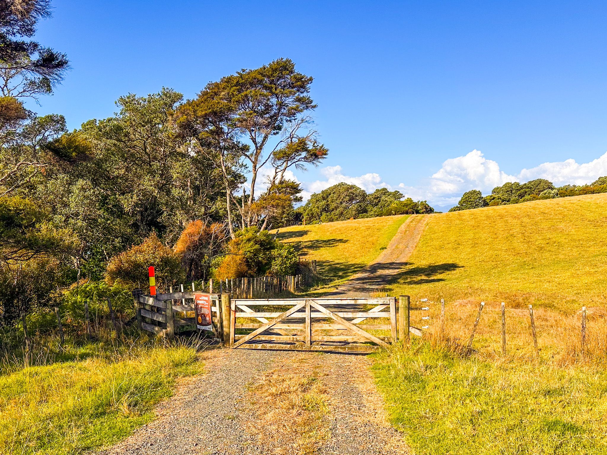
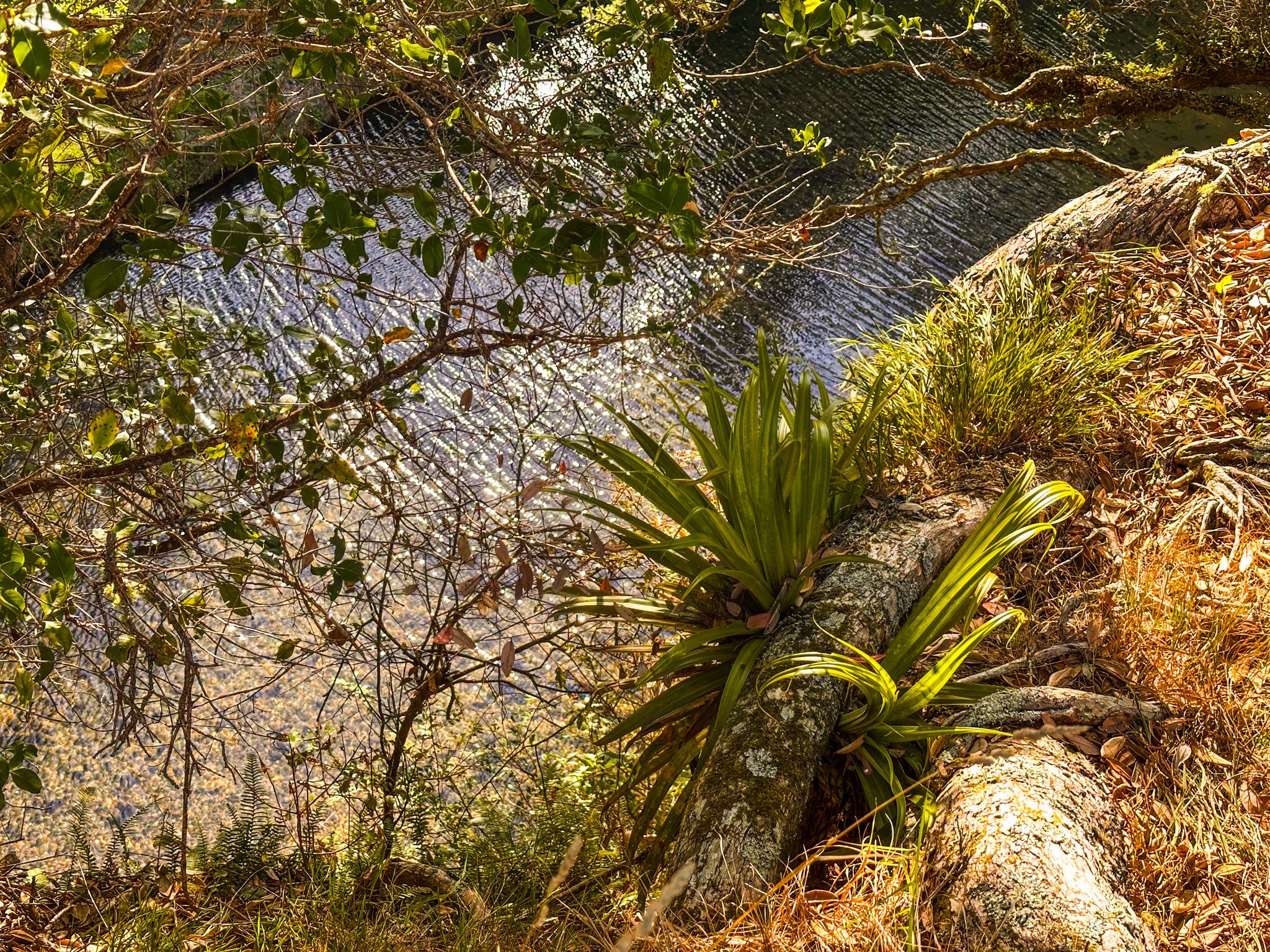
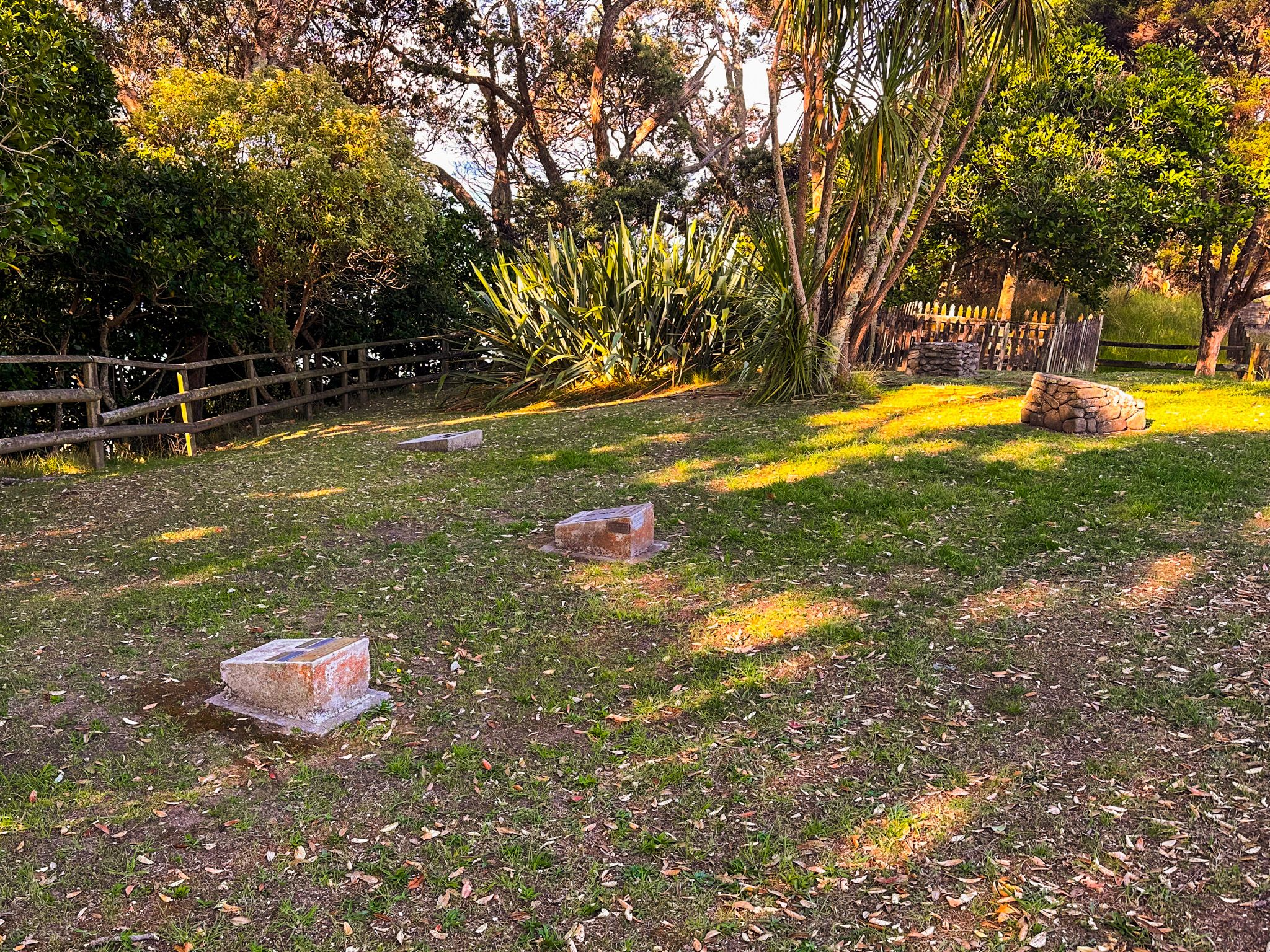
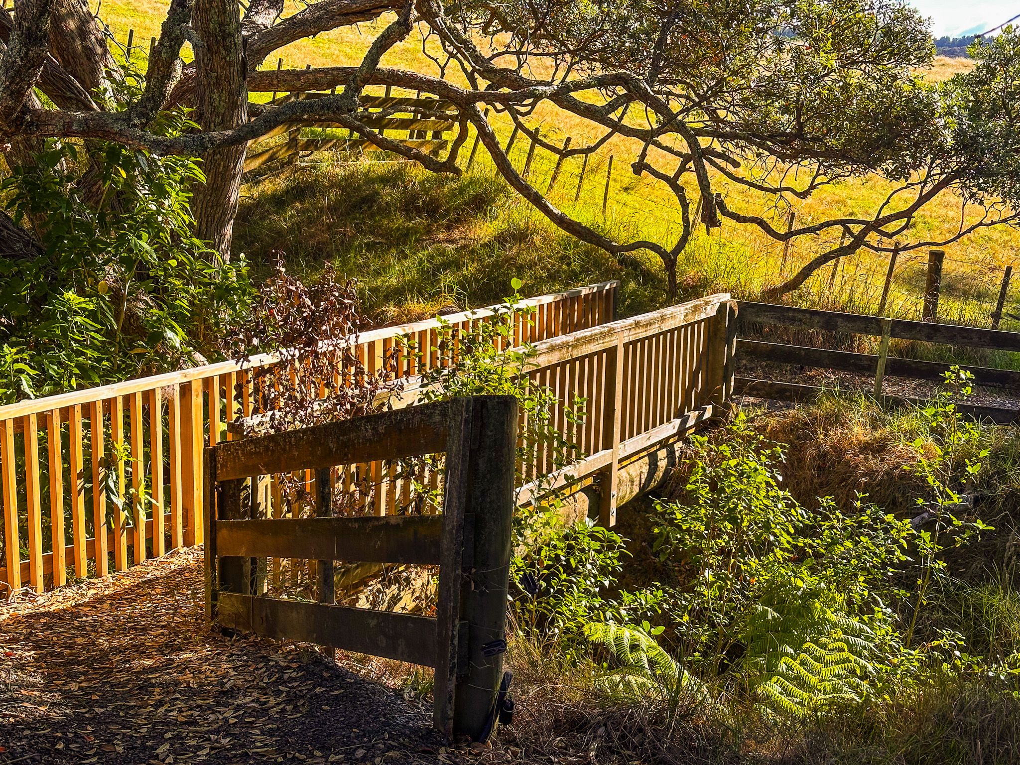
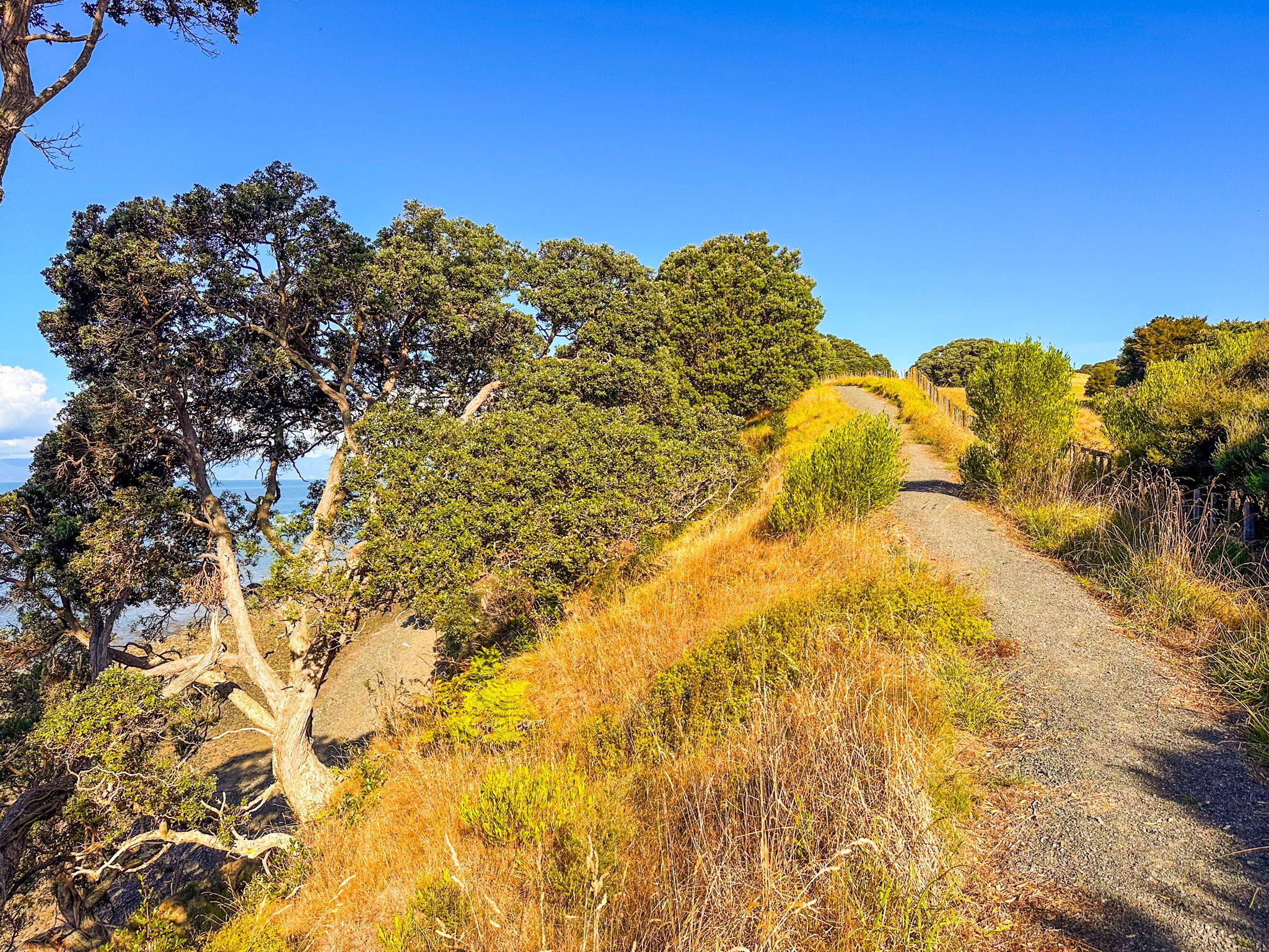
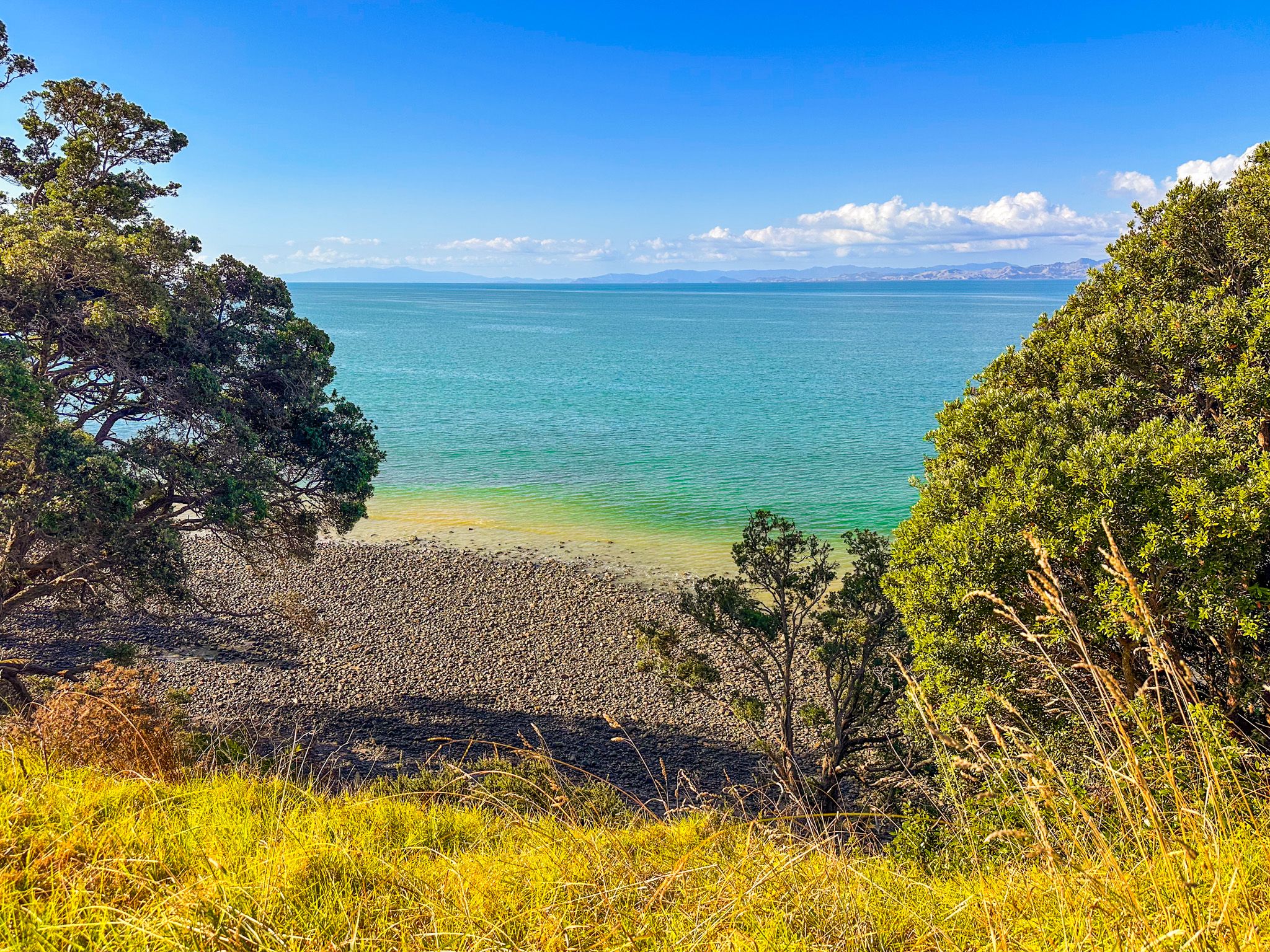
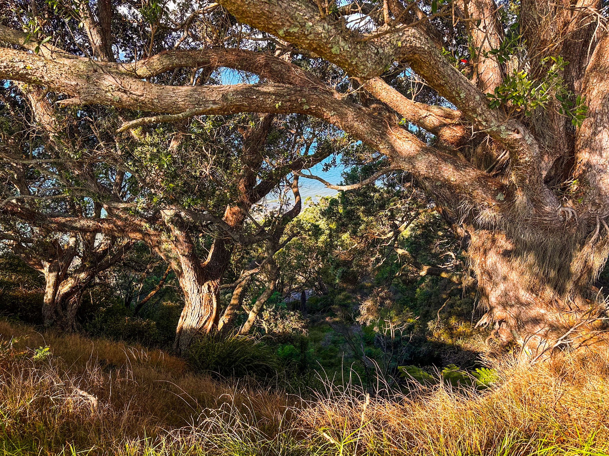
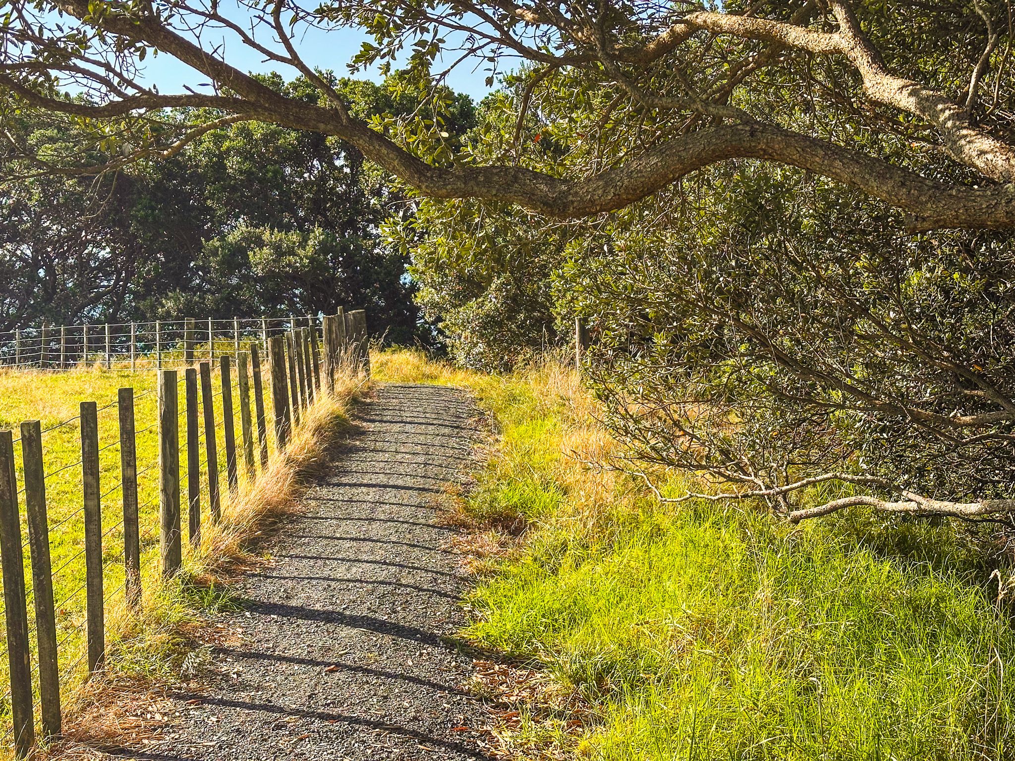
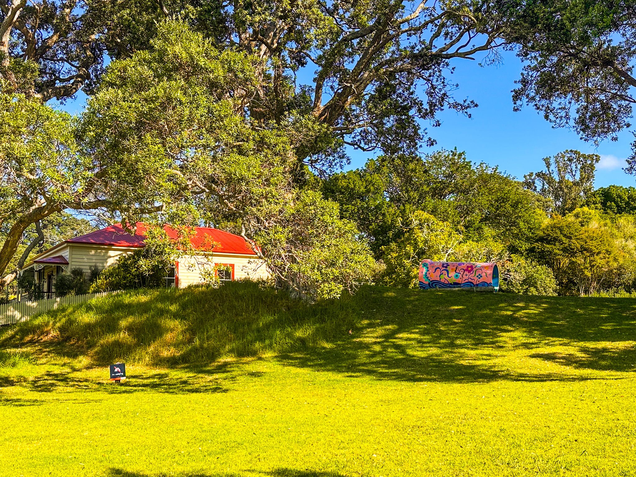
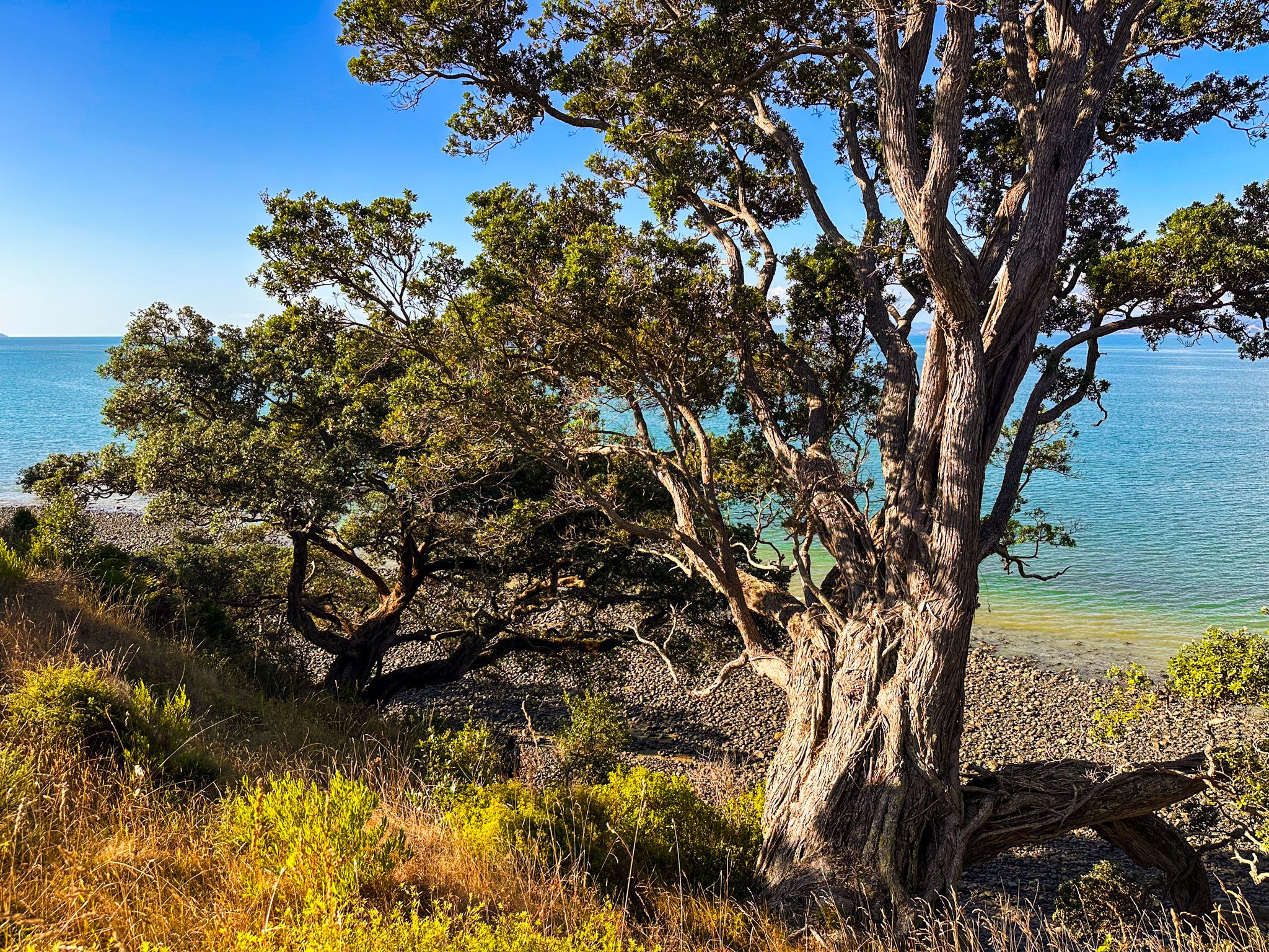
The loop begins at the main car park near the beach and Ashby Homestead. Follow the markers through an area of grass with sections of regenerating first, climbing towards a bridge over the Tāpapakanga Stream to the Campervan campsite above the stream. Continue on through the farm gate, taking time to peer over the edge of the cliff into the stream, then follow the track above the sea cliffs. You will see the historic Ashby Cemetery almost immediately on your left. The cliff edge is generally shrouded in pōhutukawa trees, but there are plenty of spots with views over the Firth to the Coromandel. Further along, there is a section of coastal regrowth forest.
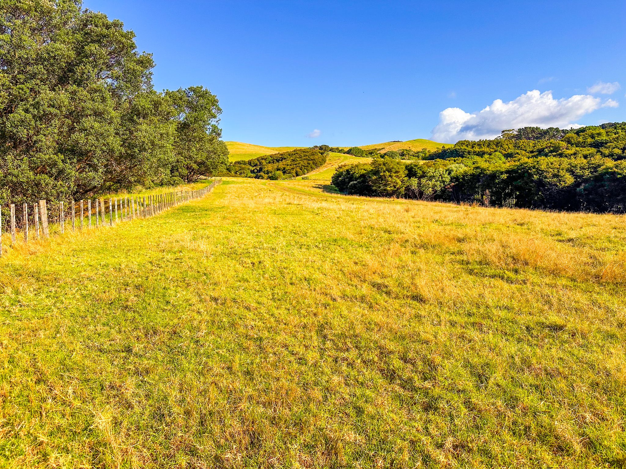
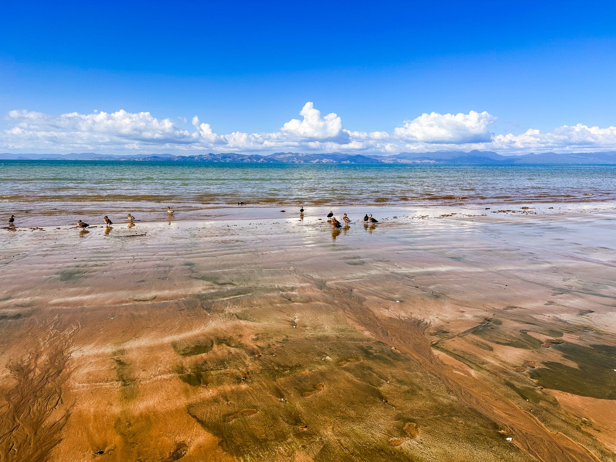
After this, the track climbs up an open grassed hill, potentially amongst sheep and cattle, and then returns towards the stream. You rise up to 80 metres above the coast, with superb views. Reaching the stream gully, follow the short goat track down to the beach, then wade the stream where it crosses the beach - best done at low tide. A short walk along the beach takes you back to the car park.
The walk is easy, though there are some short, steep sections, and the coastal sections can be slippery after rain. You are also fully exposed to the sun on the farmland sections. Allow around two hours for the loop. You can shorten this by parking just beyond the Campevan campsite.
Other Track Options
The Farm Walk of 5.9 kilometres covers a similar route and also takes around two hours. The Historic Loop, at 1.4 kilometres, is the shortest option, covering the homestead, beach and historic area of Māori habitation. All routes are clearly marked with colour-coded posts and share sections of the main track network.
Mountain biking is also permitted on designated sections. Dogs are allowed on a lead between 1 December and 30 June, but prohibited during the lambing and calving season from 1 July to 30 November.
How to Get There
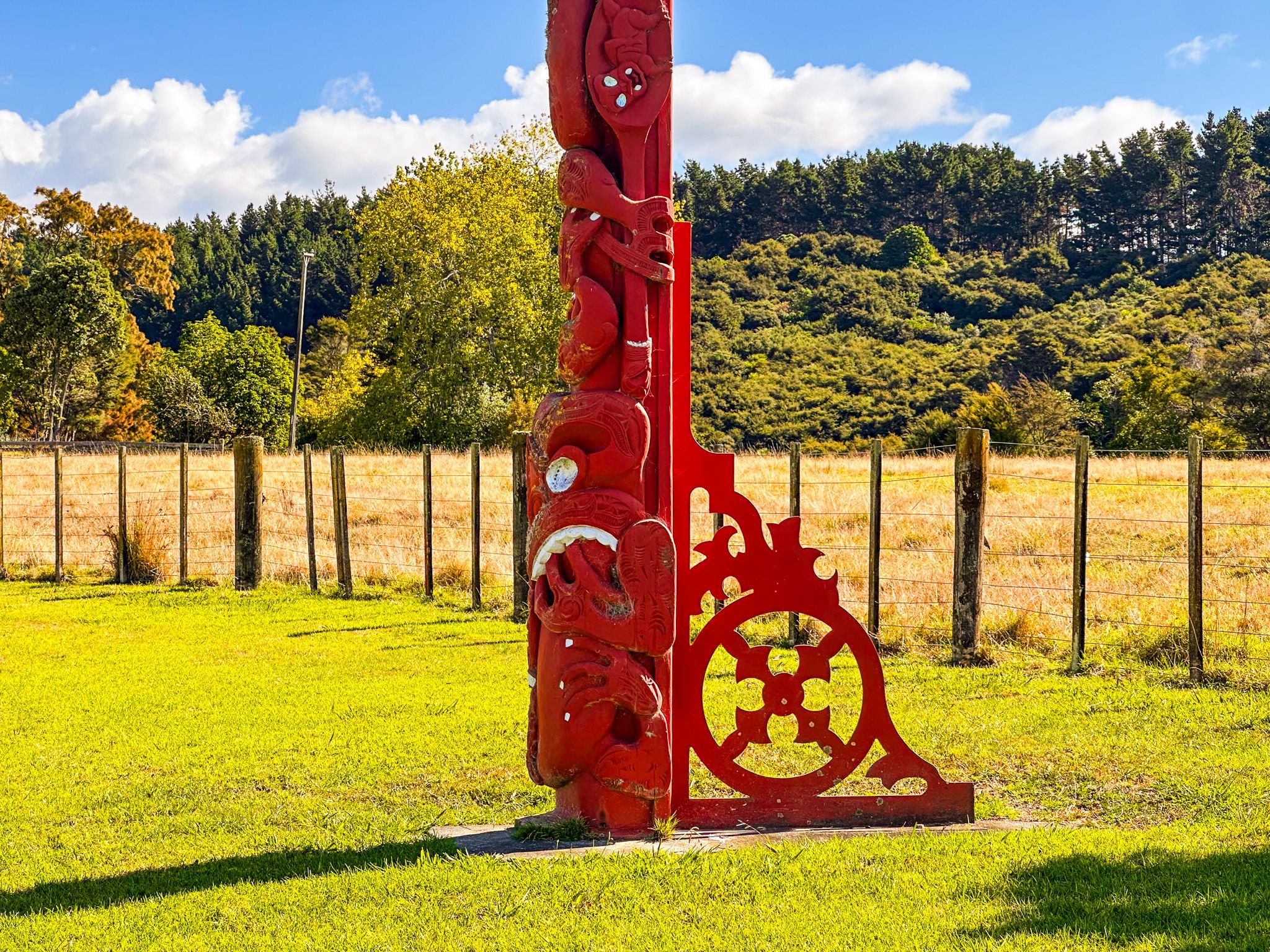
From Downtown Auckland, take the southern motorway south, exit at Hill Road, then head east-northeast via Hill Road, Stratford Road, Alfriston Road, Alfriston-Ardmore Road, Clevedon-Takakani Road, and Clevedon-Papakura Road to Clevedon. From Clevedon, follow the Clevedon-Kawakawa Road east toward Kawakawa Bay, then continue on the Pacific Coast Highway past the turnoff into the park on Deerys Road. There are two large pou that mark the entrance. The drive takes around 80 minutes and is 68 km.
Nearby places to visit include Mātaitai Bay, Waitawa Bay and Pāwhetau Pā, all within Waitawa Regional Park, Kawakawa Bay, Tawhitokino Beach, Ōrere Point and Waharau Regional Park further south along the coast.